Elevation of Peter's River Road, Peter's River Rd, St. Shott's, NL A0A 3R0, Canada
Location: Canada > Newfoundland And Labrador > Division No. 1 > Saint Shott's >
Longitude: -53.534280
Latitude: 46.7324152
Elevation: 154m / 505feet
Barometric Pressure: 99KPa
Elevation Map:
Satellite Map:
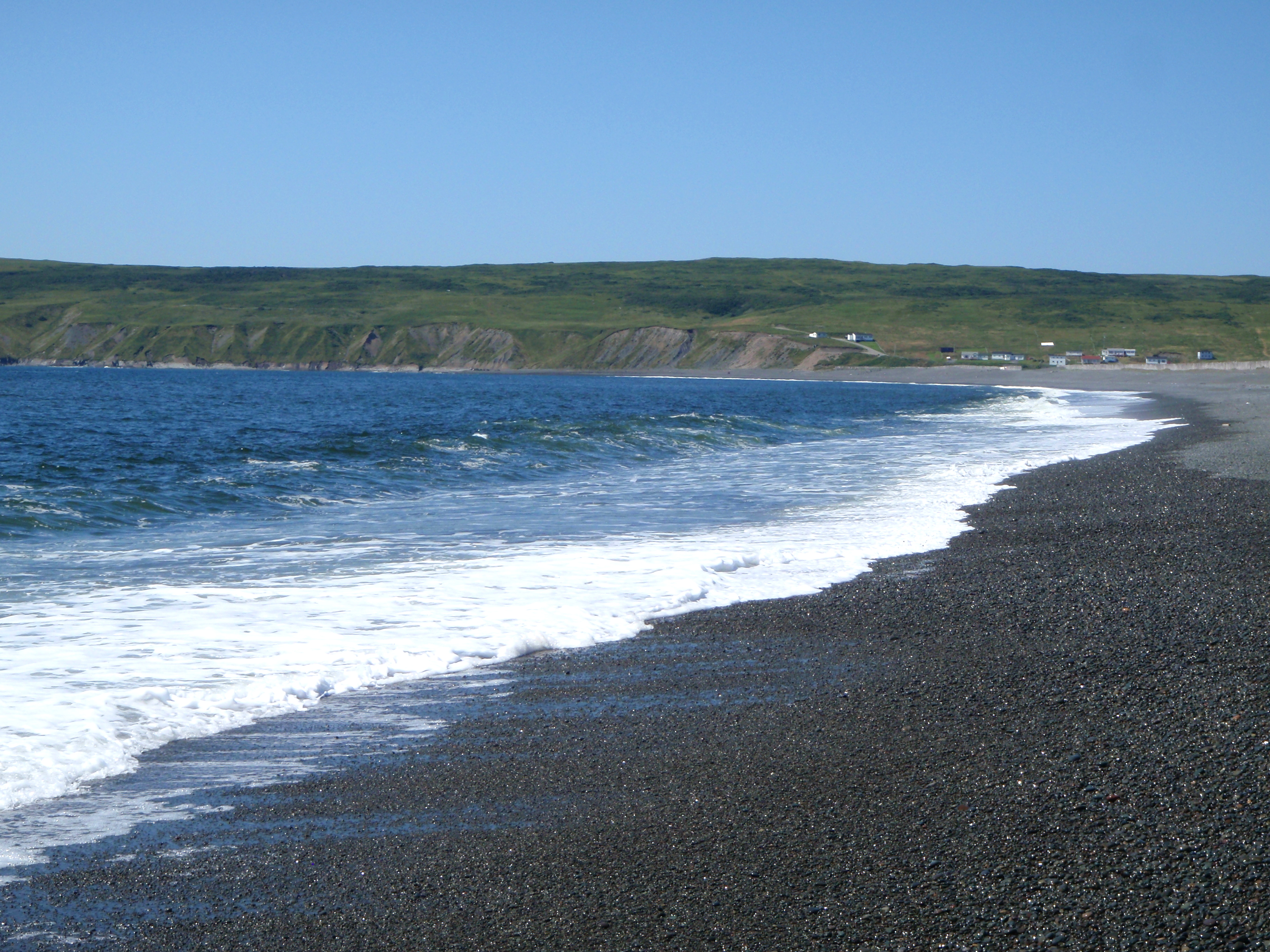
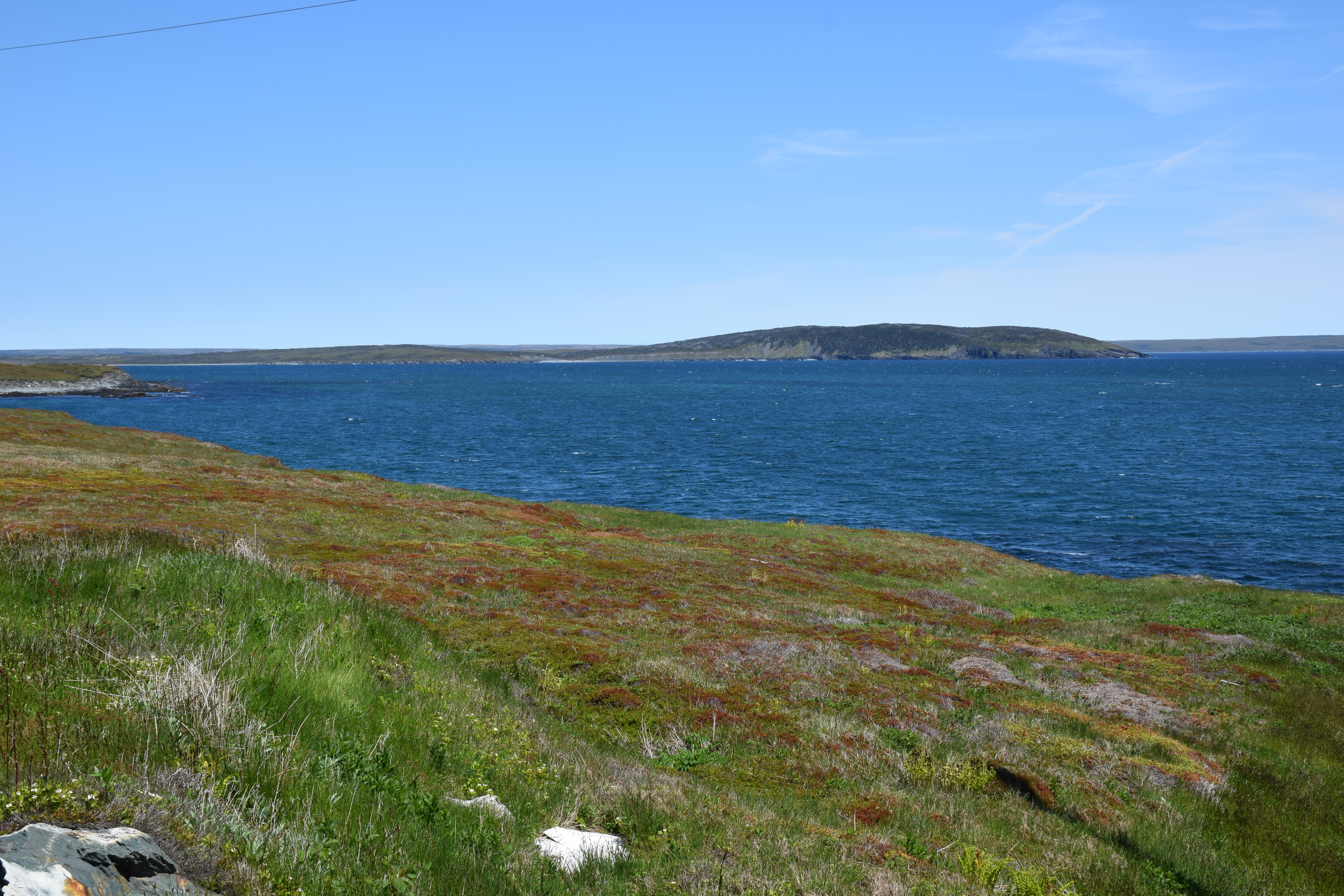
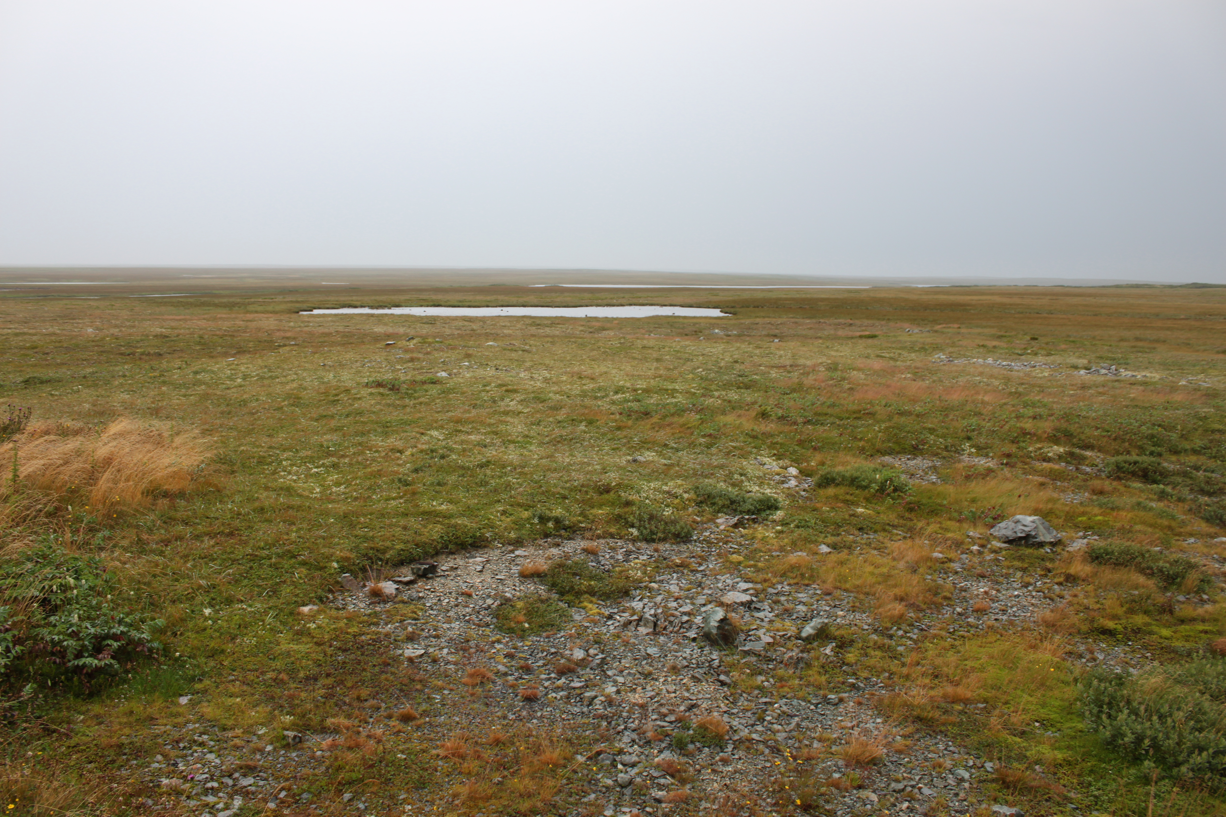
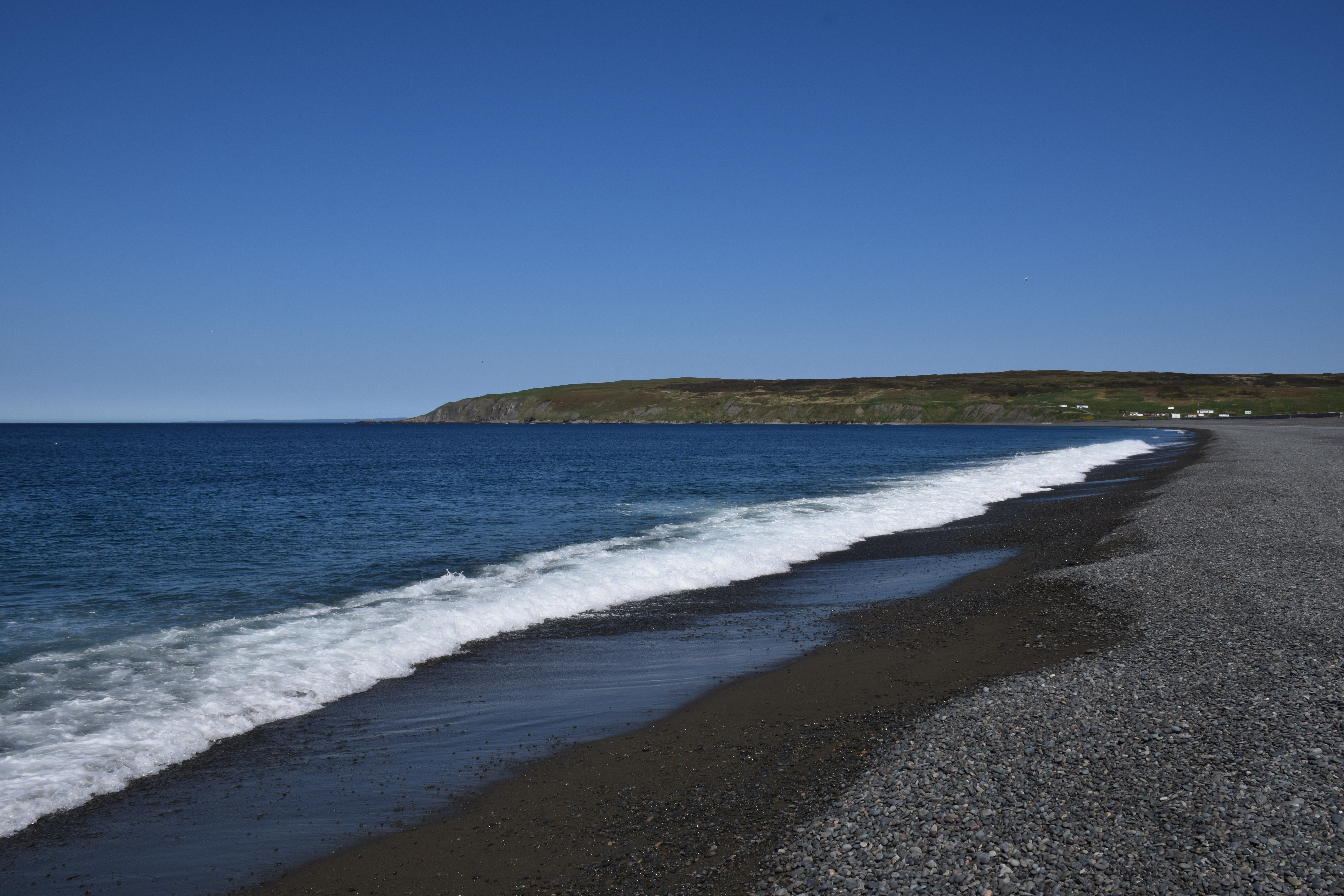
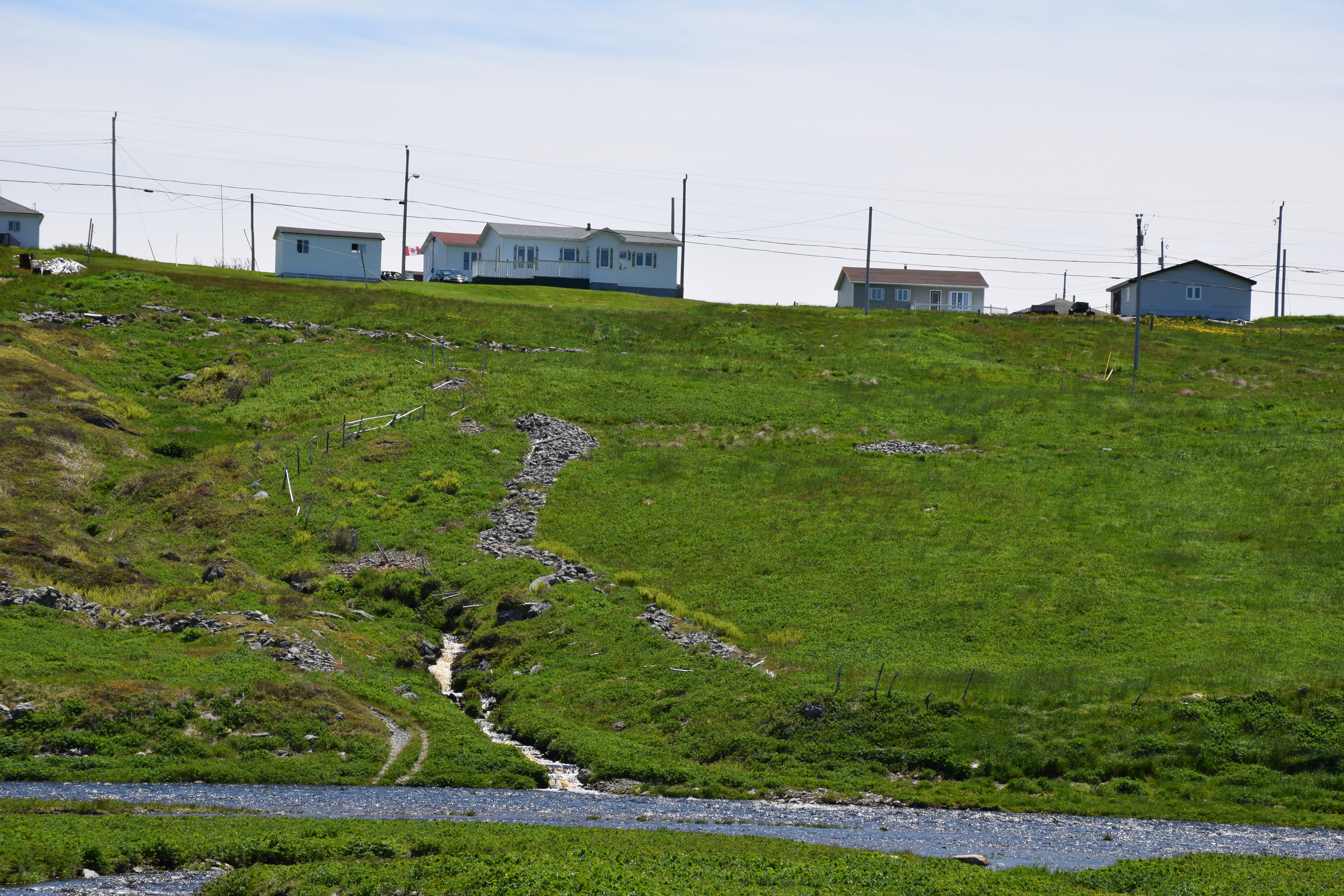
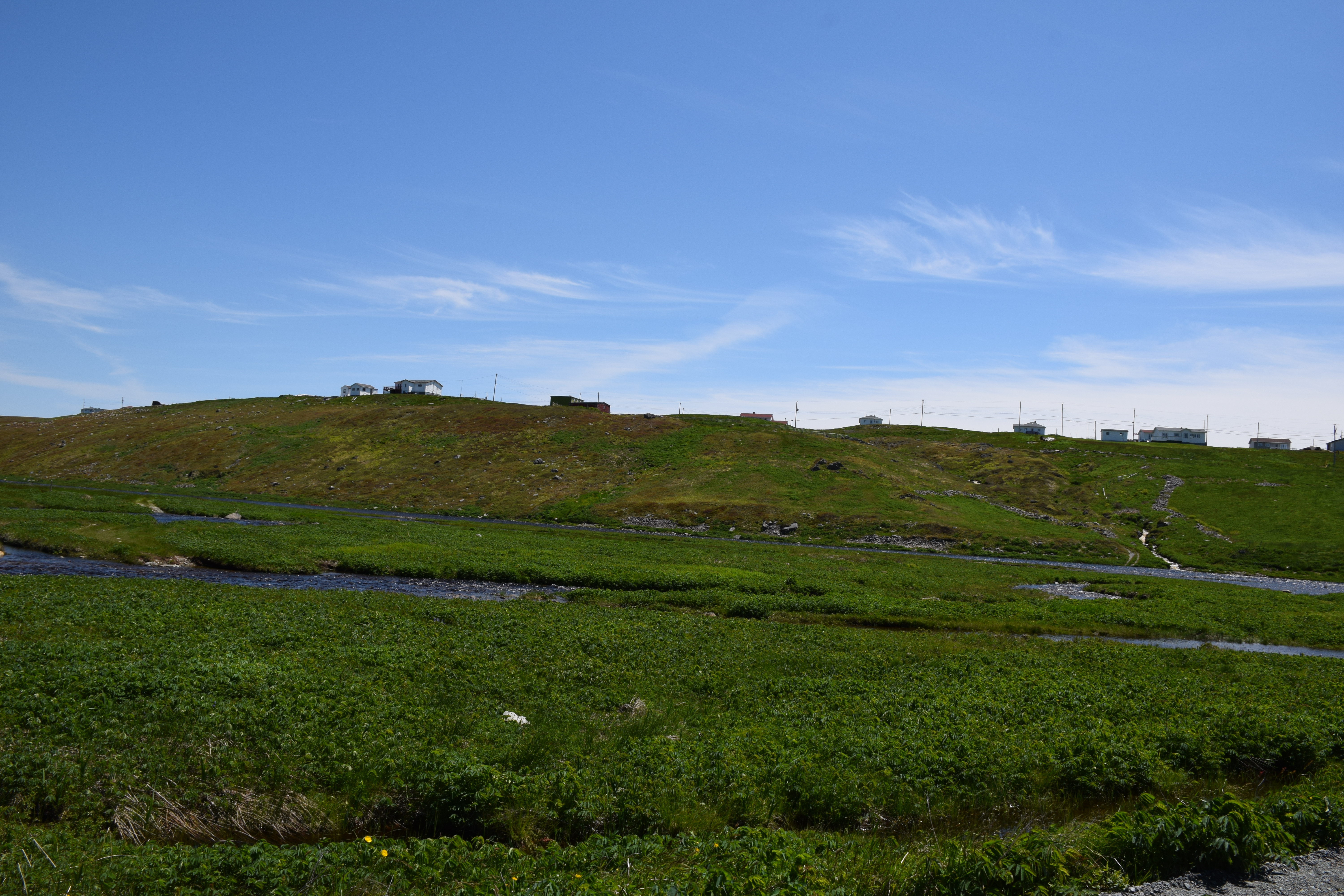
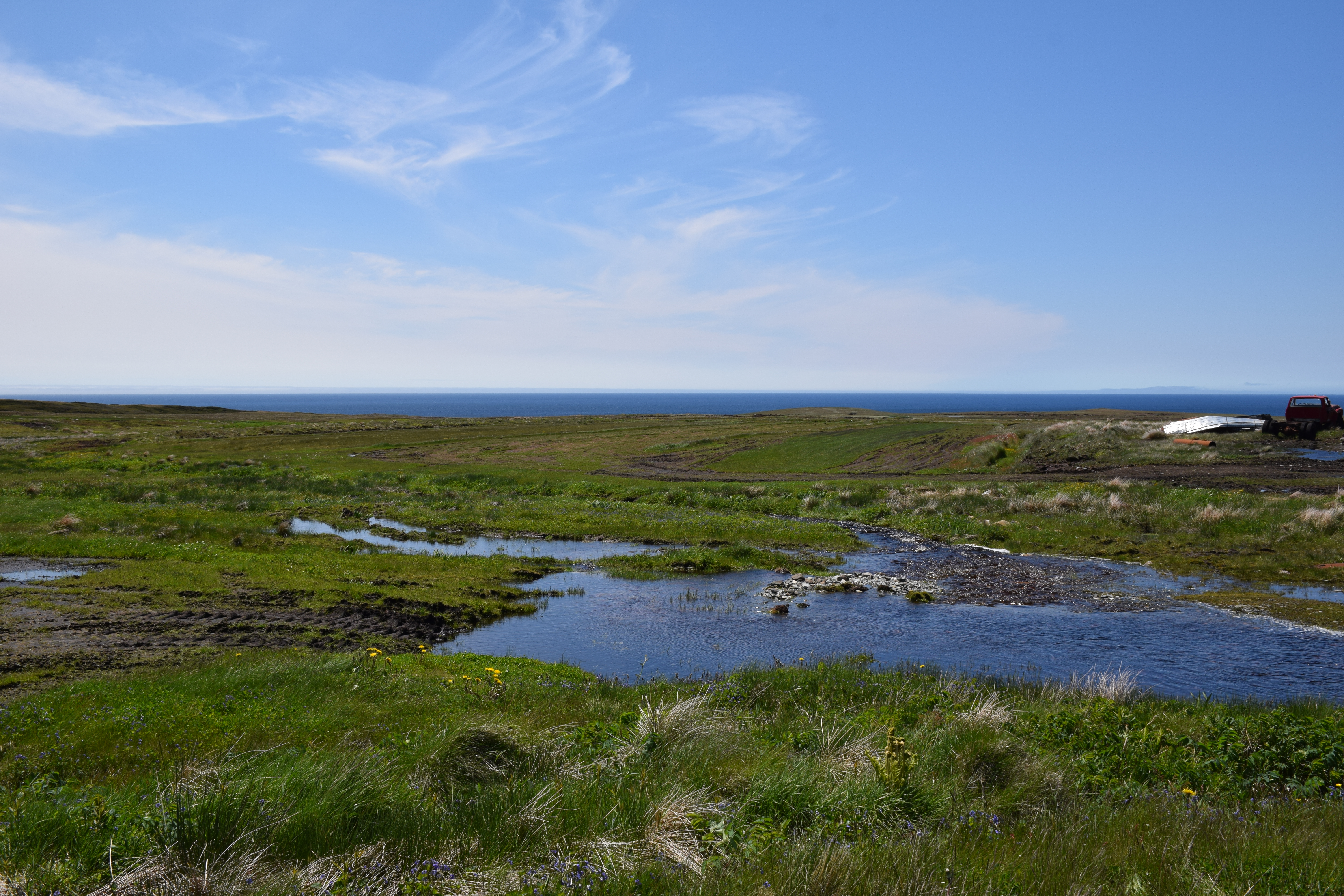
Related Photos:

The Irish Loop
The Irish Loop
The Irish Loop
The Irish Loop
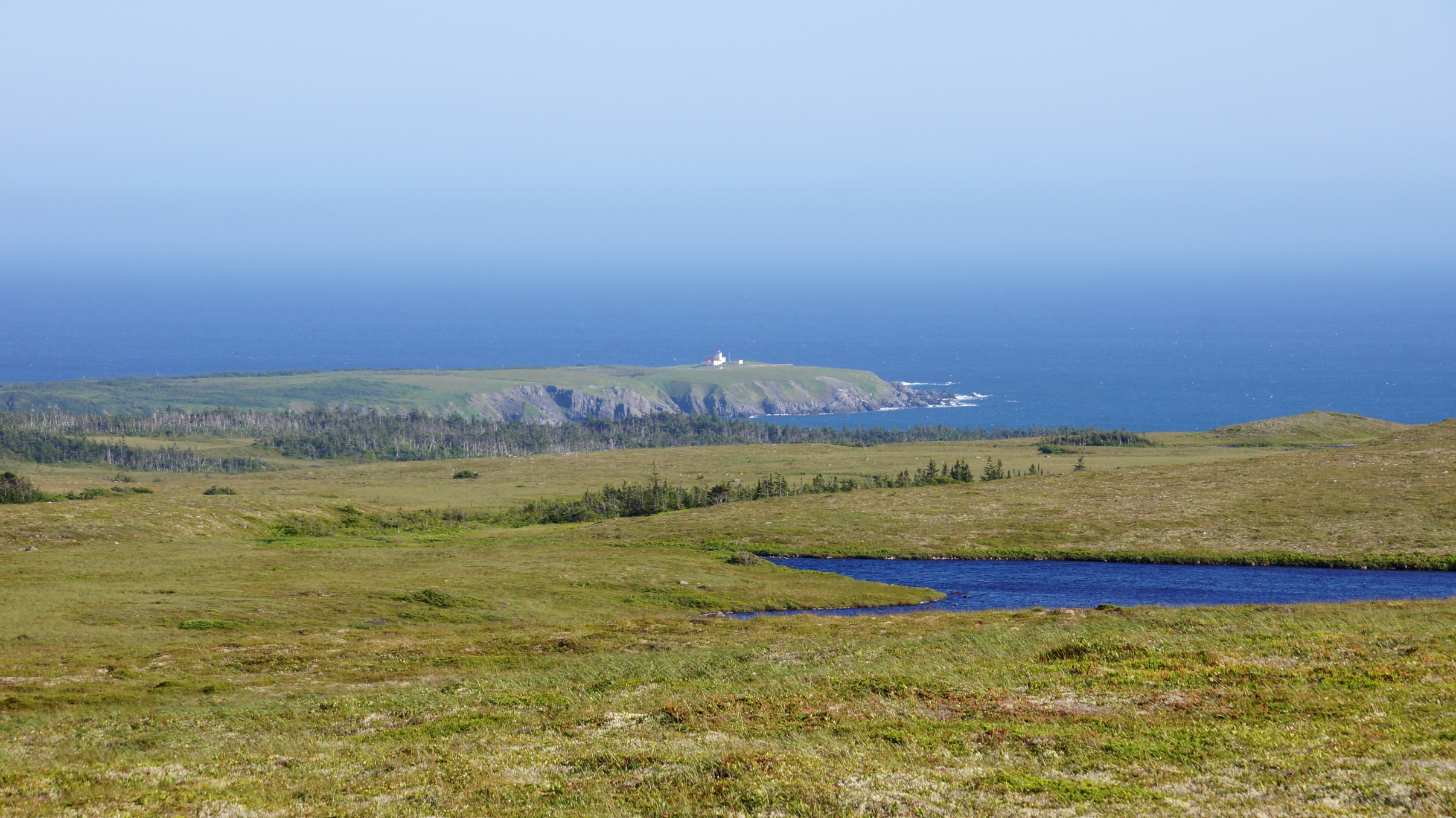
Trepassey Lighthouse from afar
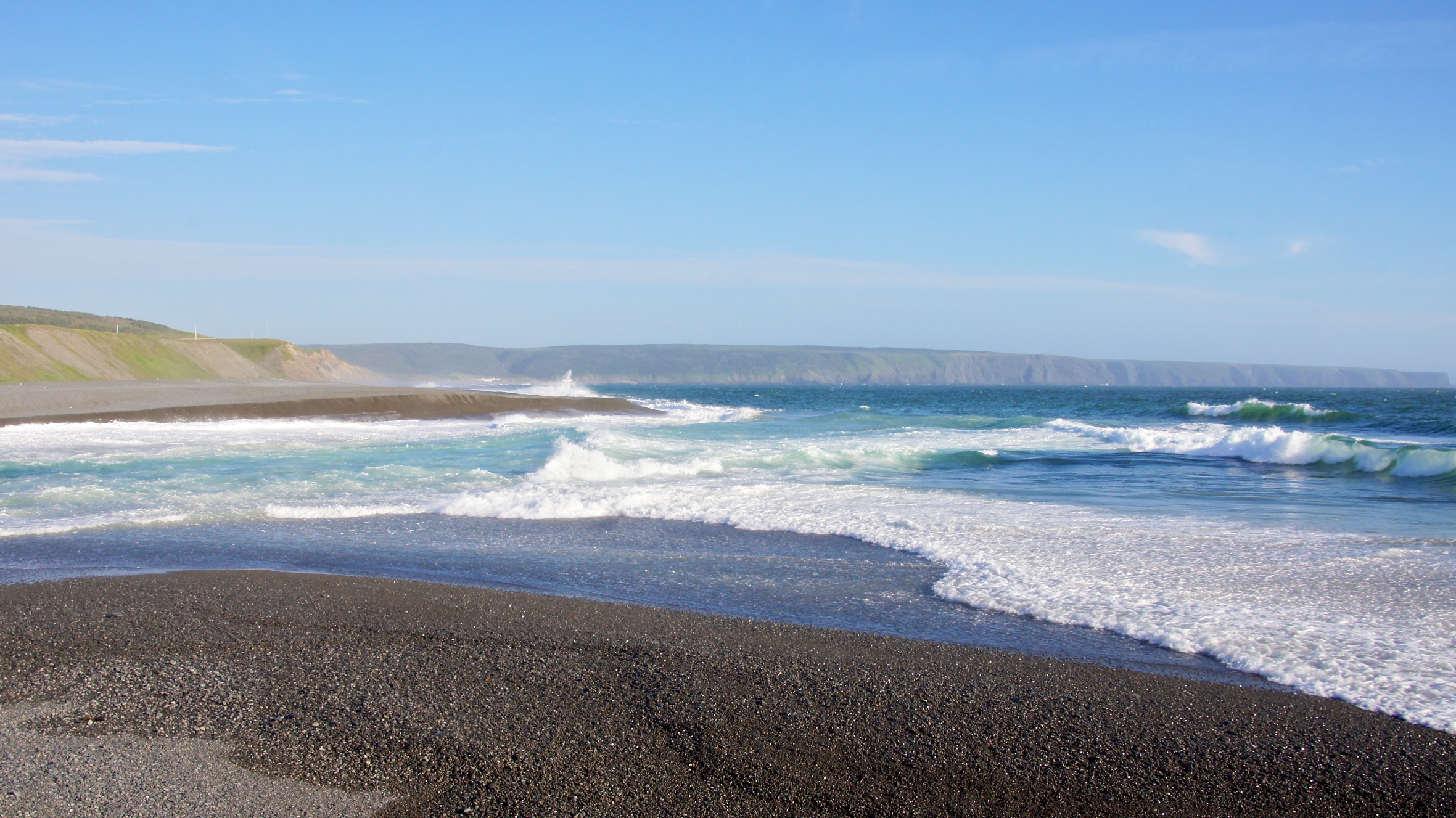
The Waters at St. Vincent's

NLL 25400 The Barrens
Powles Head Lightstation

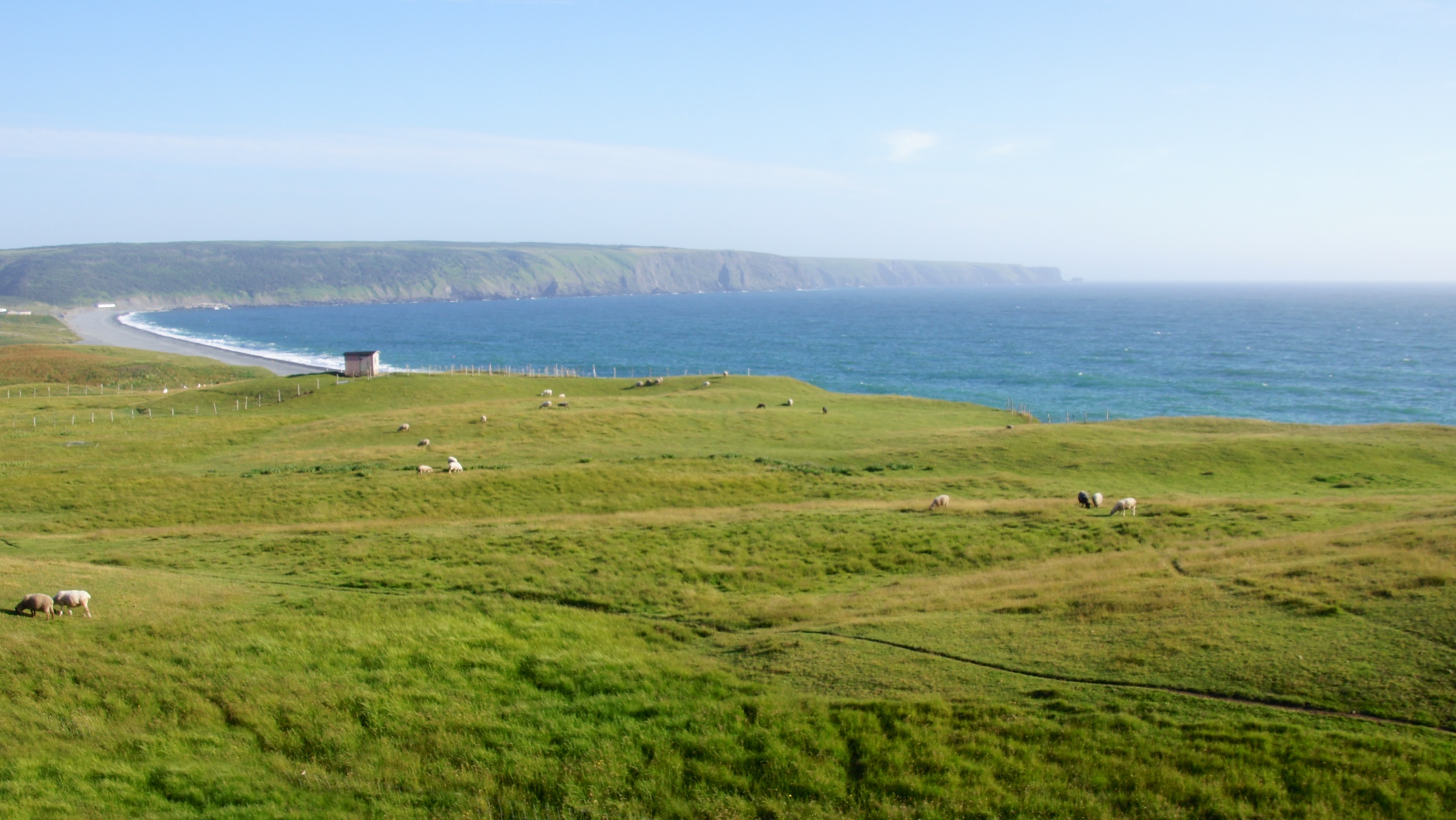
St Vincents Newfoundland
20100818-019

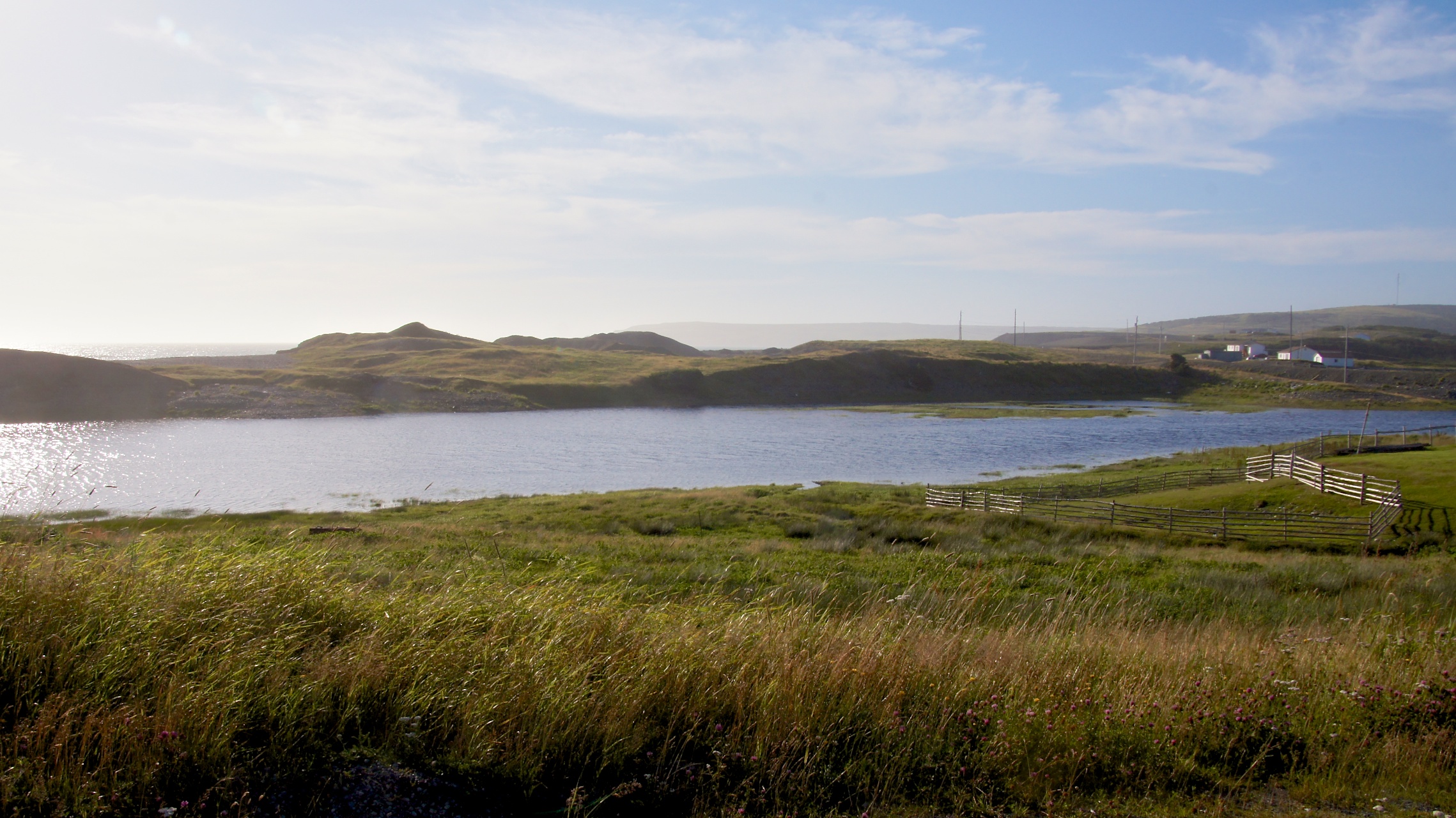
St Shotts Newfoundland
St Vincents Newfoundland

St Vincents Newfoundland
St Shotts Newfoundland
St Shotts Newfoundland

St Vincents Newfoundland

St Vincents Newfoundland

St Shotts Newfoundland
St Shotts Newfoundland

St Shotts Newfoundland

St Vincents Newfoundland
Topographic Map of Peter's River Road, Peter's River Rd, St. Shott's, NL A0A 3R0, Canada
Find elevation by address:

Places near Peter's River Road, Peter's River Rd, St. Shott's, NL A0A 3R0, Canada:
Saint Vincent's-st. Stephen's-peter's River
Main Rd, Trepassey, NL A0A 4B0, Canada
Saint Shott's
Saint Mary's
Division No. 1
Admirals Beach
NL-94, Riverhead, NL A0A 3P0, Canada
Saint Joseph's
16 NL-94, Riverhead, NL A0A 3P0, Canada
Dunphys Pond
75 NL-90, Trepassey, NL A0A 4B0, Canada
North Harbour
NL-93, North Harbour, NL A0B 2V0, Canada
7 NL-91, Mount Carmel, NL A0B 2M0, Canada
Colinet
Division No. 1, Subd. C
Division No. 1, Subd. X
Dunville
Ship Cove
Saint Bride's
Recent Searches:
- Elevation of 6 Rue Jules Ferry, Beausoleil, France
- Elevation of Sattva Horizon, 4JC6+G9P, Vinayak Nagar, Kattigenahalli, Bengaluru, Karnataka, India
- Elevation of Great Brook Sports, Gold Star Hwy, Groton, CT, USA
- Elevation of 10 Mountain Laurels Dr, Nashua, NH, USA
- Elevation of 16 Gilboa Ln, Nashua, NH, USA
- Elevation of Laurel Rd, Townsend, TN, USA
- Elevation of 3 Nestling Wood Dr, Long Valley, NJ, USA
- Elevation of Ilungu, Tanzania
- Elevation of Yellow Springs Road, Yellow Springs Rd, Chester Springs, PA, USA
- Elevation of Rēzekne Municipality, Latvia