Elevation of 75 NL-90, Trepassey, NL A0A 4B0, Canada
Location: Canada > Newfoundland And Labrador > Division No. 1 > Division No. 1, Subd. W >
Longitude: -53.451214
Latitude: 47.1627352
Elevation: 6m / 20feet
Barometric Pressure: 101KPa
Elevation Map:
Satellite Map:
Related Photos:
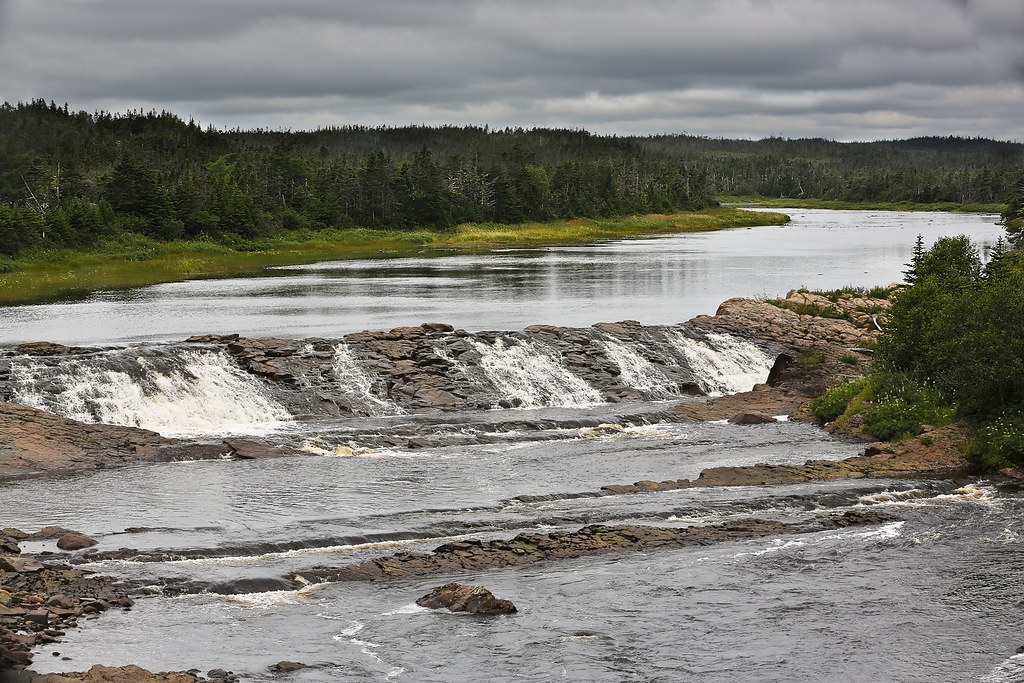
Stormy Morning at Rocky River Falls
DSC_7253az Gazebo view at St Catherines Salmonier
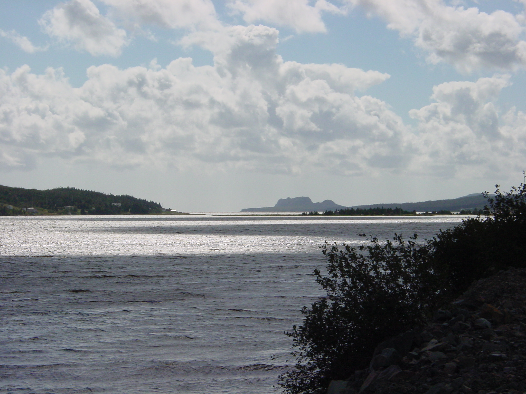
North Harbour and Colinet Islands

Cataracts Provincial Park

The Wilds at Salmonier River, NL - HDR 1
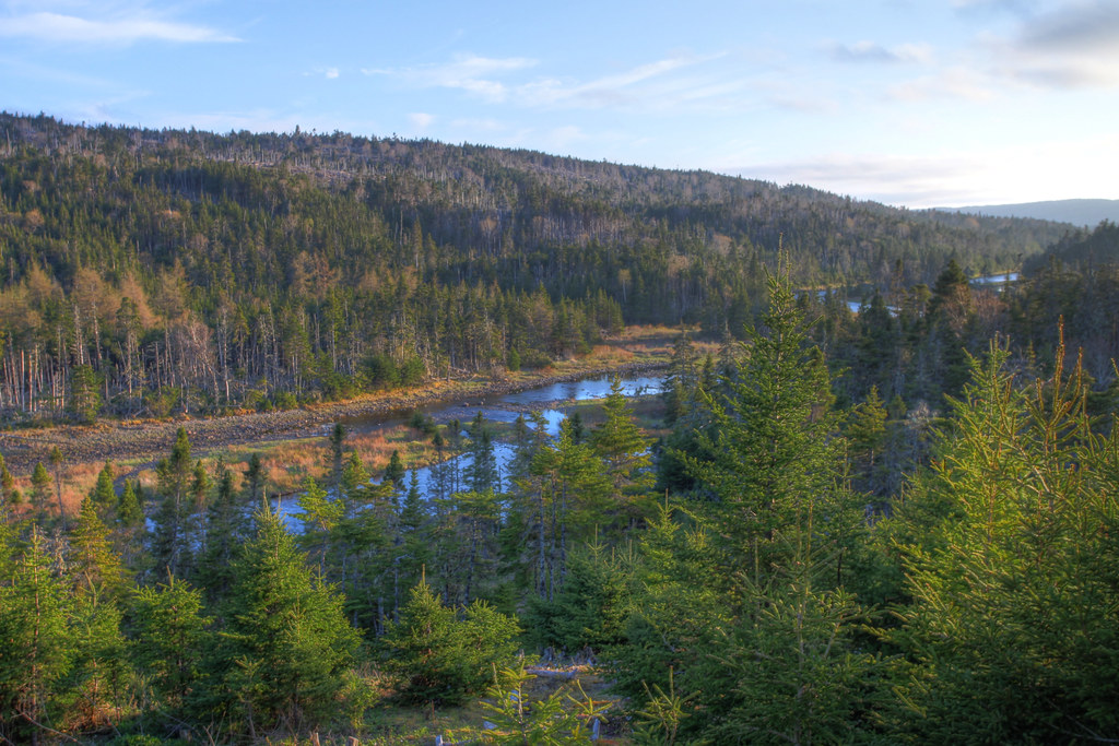
Salmonier River, NL - HDR
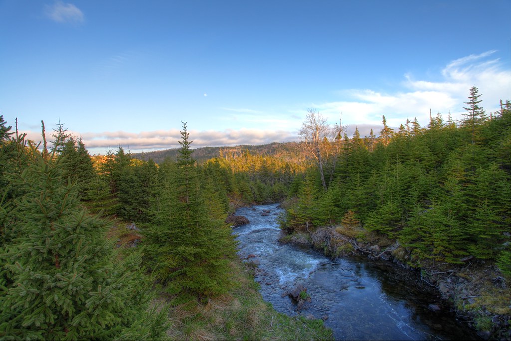
The Wilds at Salmonier River, NL - HDR 2
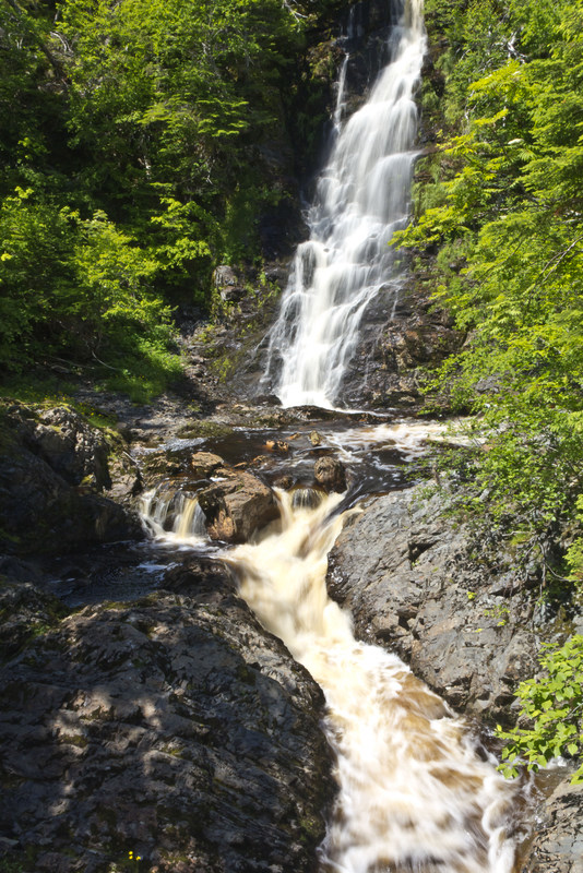
Cataract Falls, NL

River near Colinet
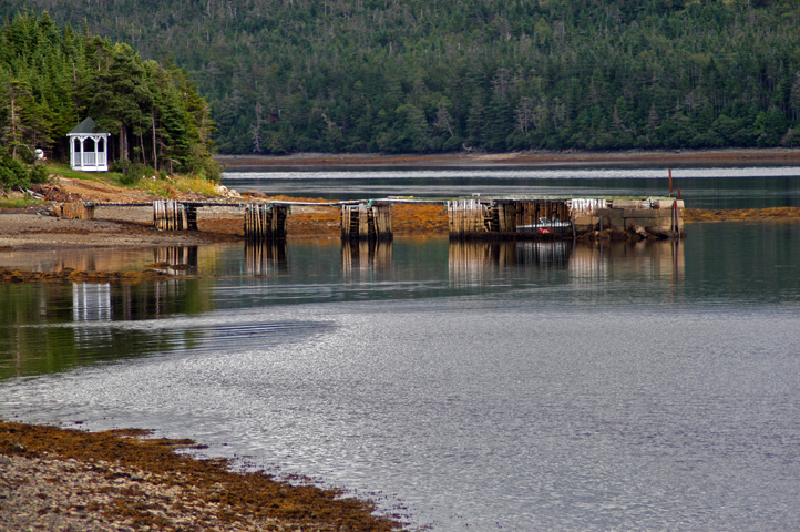
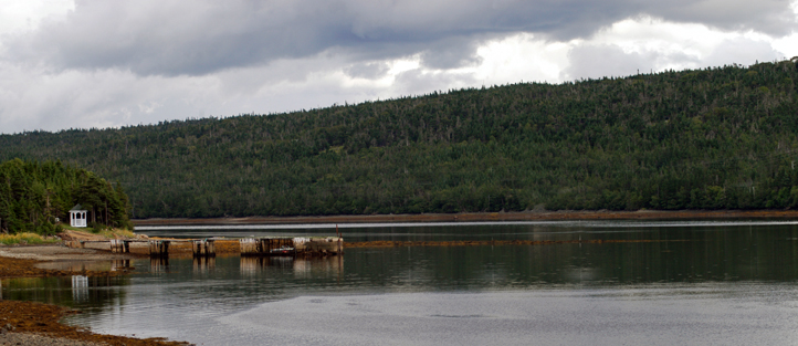
DSC_7255az Gazebo and wharf St Catherines Salmonier
Topographic Map of 75 NL-90, Trepassey, NL A0A 4B0, Canada
Find elevation by address:

Places near 75 NL-90, Trepassey, NL A0A 4B0, Canada:
Dunphys Pond
16 NL-94, Riverhead, NL A0A 3P0, Canada
Saint Joseph's
NL-93, North Harbour, NL A0B 2V0, Canada
7 NL-91, Mount Carmel, NL A0B 2M0, Canada
Colinet
Division No. 1, Subd. X
North Harbour
NL-94, Riverhead, NL A0A 3P0, Canada
Admirals Beach
Division No. 1
Saint Mary's
Blaketown
Division No. 1, Subd. Y
South Dildo
23 NL-80, South Dildo, NL A0B 1R0, Canada
96 Spread Eagle Rd, Arnold's Cove, NL A0B 1A0, Canada
Burden's Superette
Broad Cove
36 Trinity Rd South 80, Broad Cove, NL A0A 1L0, Canada
Recent Searches:
- Elevation of Corso Fratelli Cairoli, 35, Macerata MC, Italy
- Elevation of Tallevast Rd, Sarasota, FL, USA
- Elevation of 4th St E, Sonoma, CA, USA
- Elevation of Black Hollow Rd, Pennsdale, PA, USA
- Elevation of Oakland Ave, Williamsport, PA, USA
- Elevation of Pedrógão Grande, Portugal
- Elevation of Klee Dr, Martinsburg, WV, USA
- Elevation of Via Roma, Pieranica CR, Italy
- Elevation of Tavkvetili Mountain, Georgia
- Elevation of Hartfords Bluff Cir, Mt Pleasant, SC, USA