Elevation map of Division No. 1, NL, Canada
Location: Canada > Newfoundland And Labrador >
Longitude: -53.564676
Latitude: 46.921452
Elevation: 0m / 0feet
Barometric Pressure: 101KPa
Elevation Map:
Satellite Map:
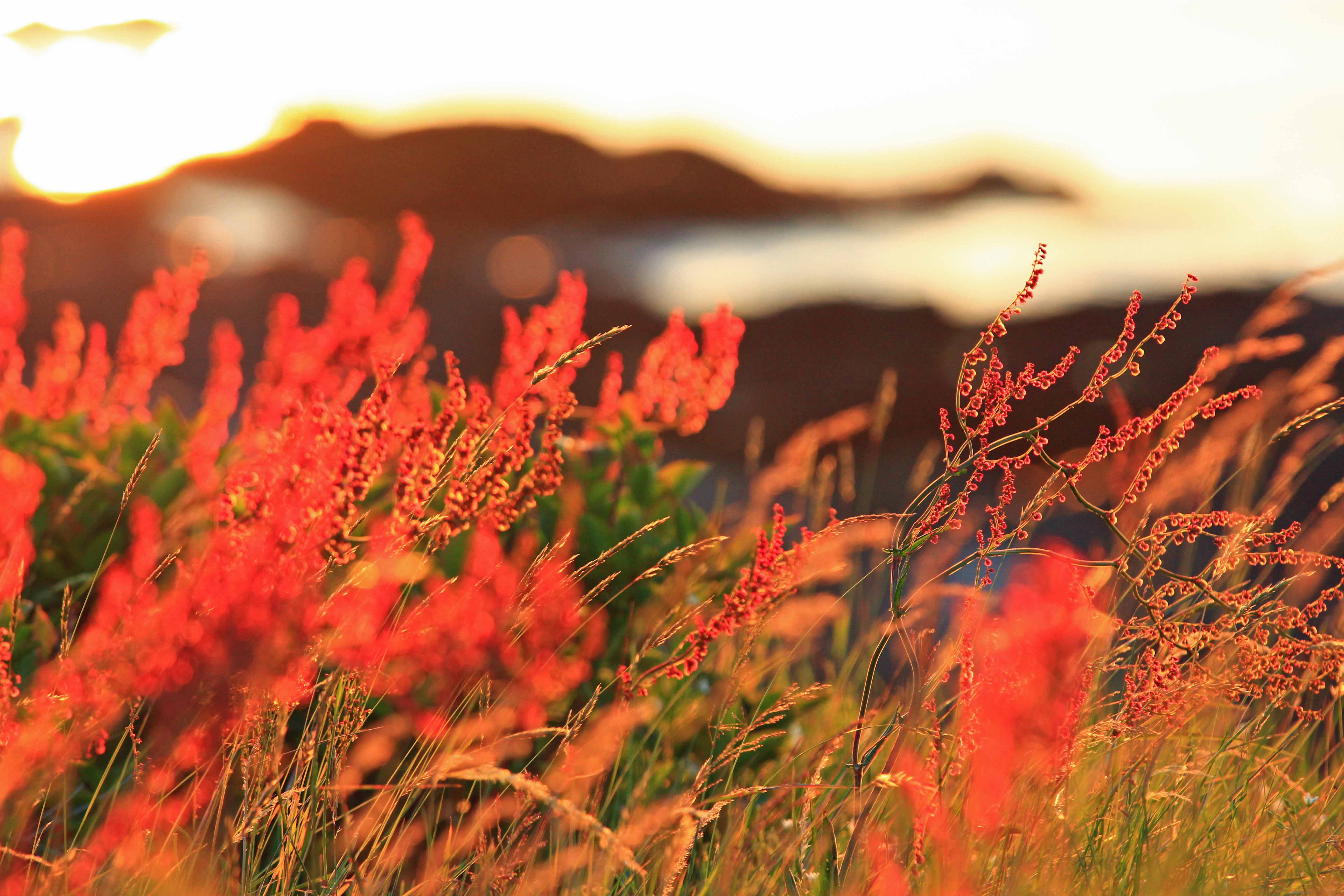
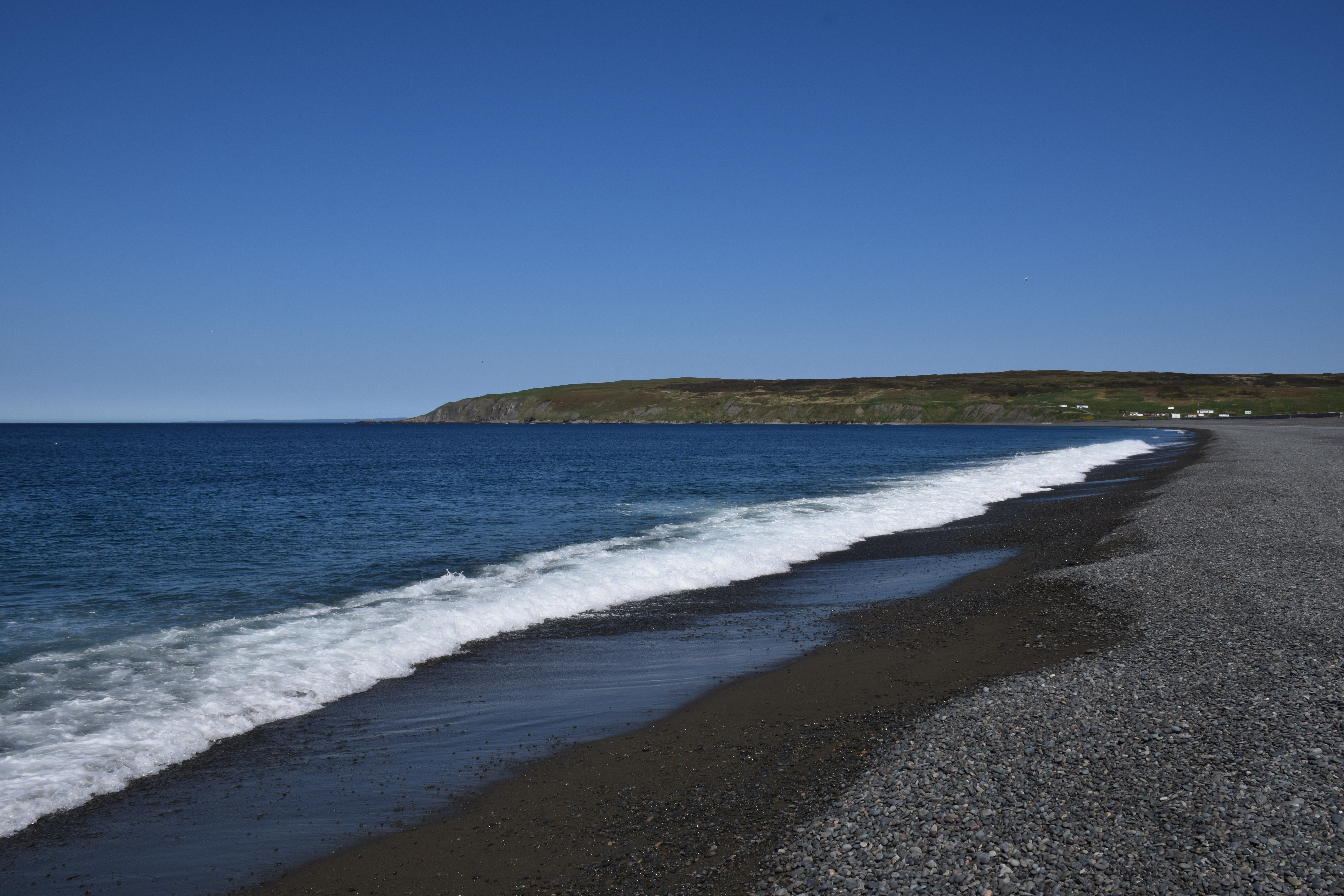
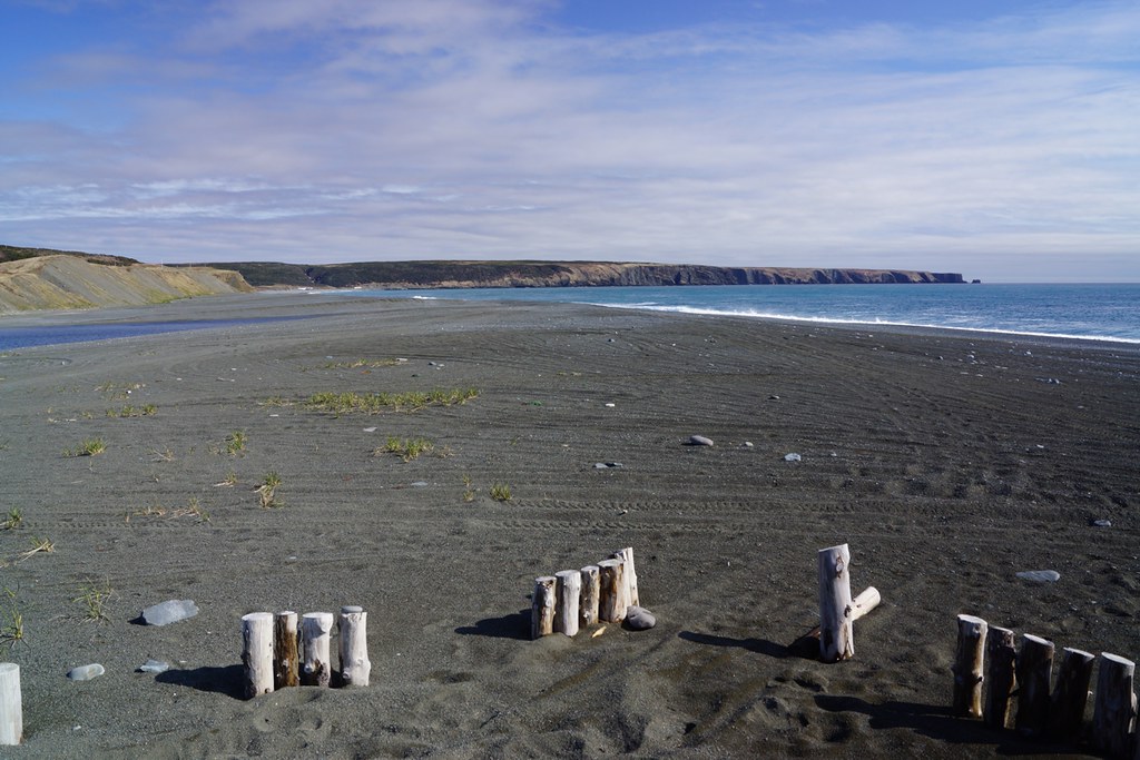
Related Photos:

St Marys Newfoundland

St Marys Newfoundland
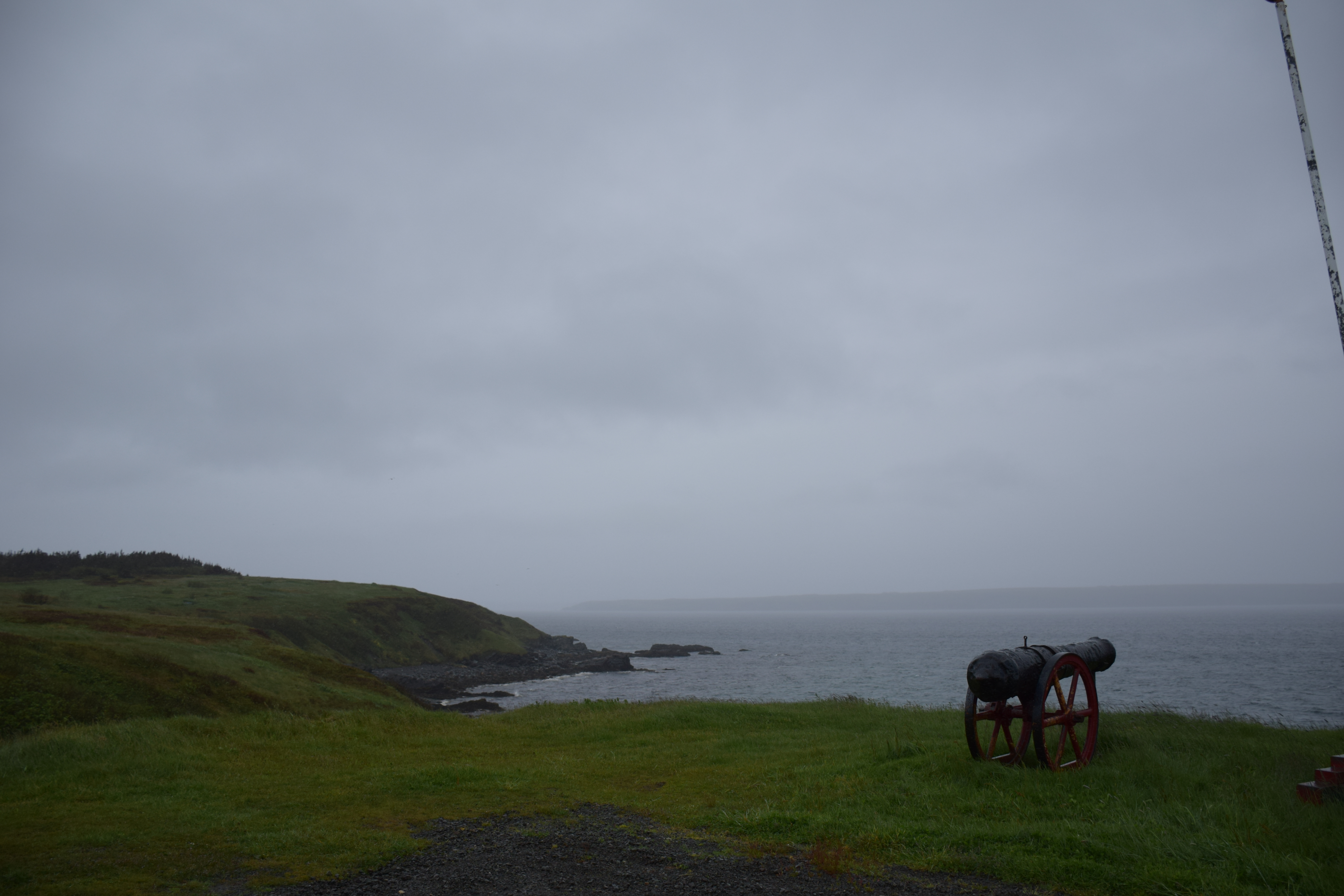
St Marys Newfoundland
FOUDUM IMG_8641

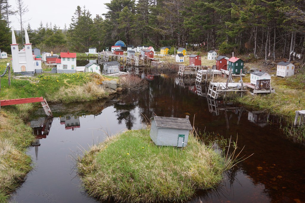
Oderin Mini-Village

St Vincents Newfoundland

St Vincents Newfoundland
St Vincents Newfoundland
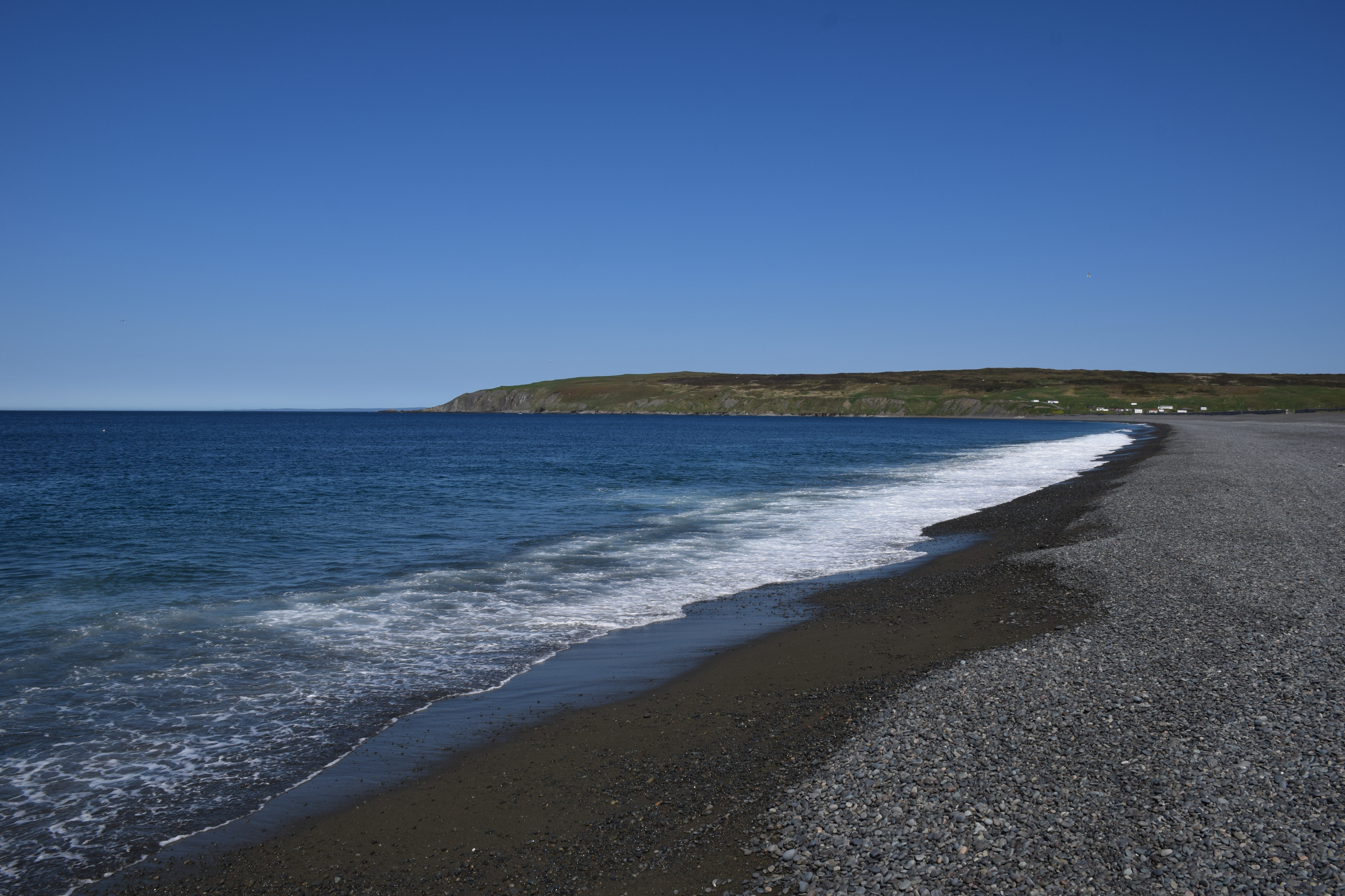
NLL 25700 Beach at Saint Vincent's
St Vincents Newfoundland
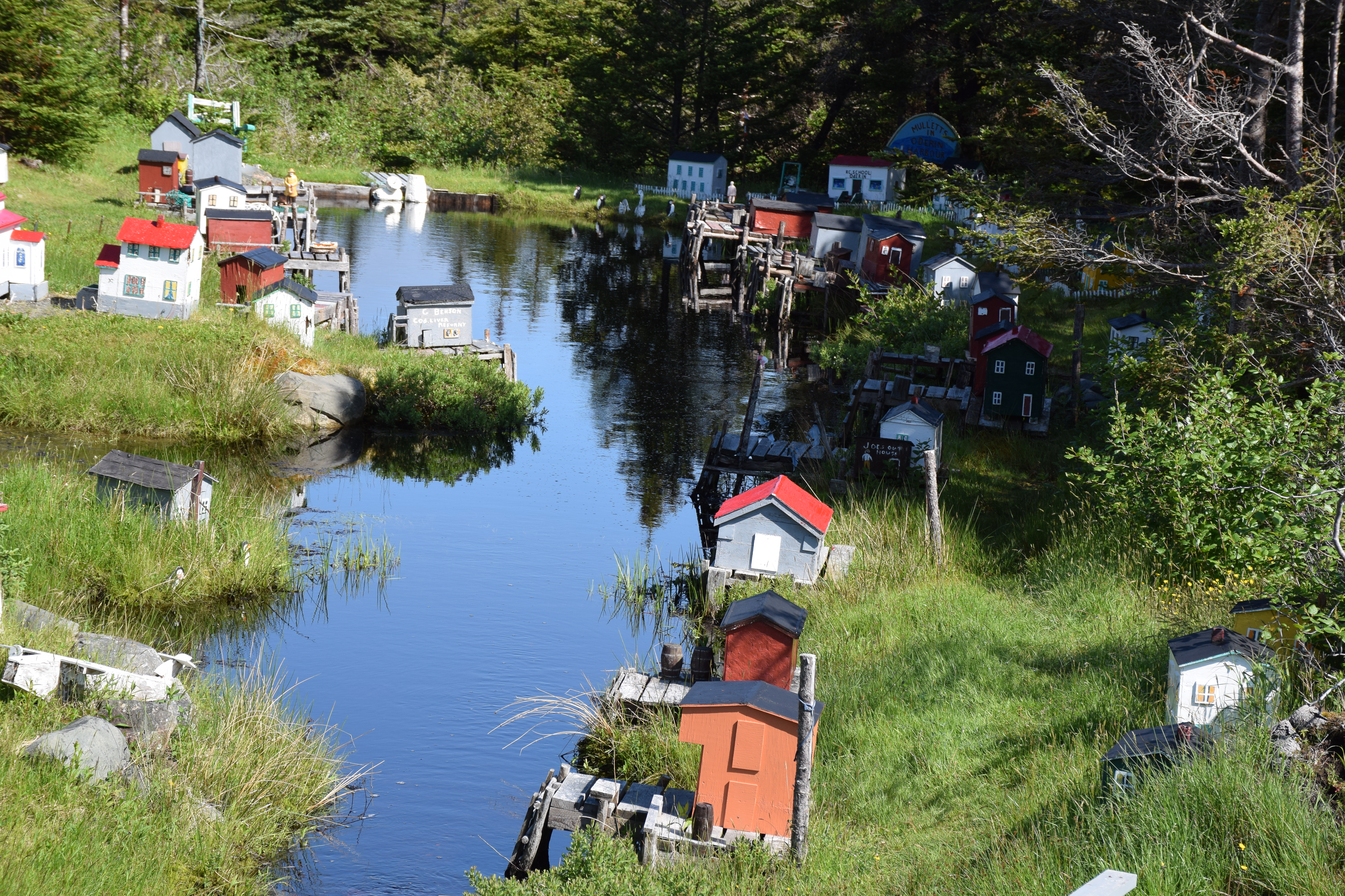
NLL 26600 Model Village north of Saint Mary's

Minature Oderin Harbour
Minature Oderin Harbour

St Vincents Newfoundland

St Vincents Newfoundland

St Vincents Newfoundland

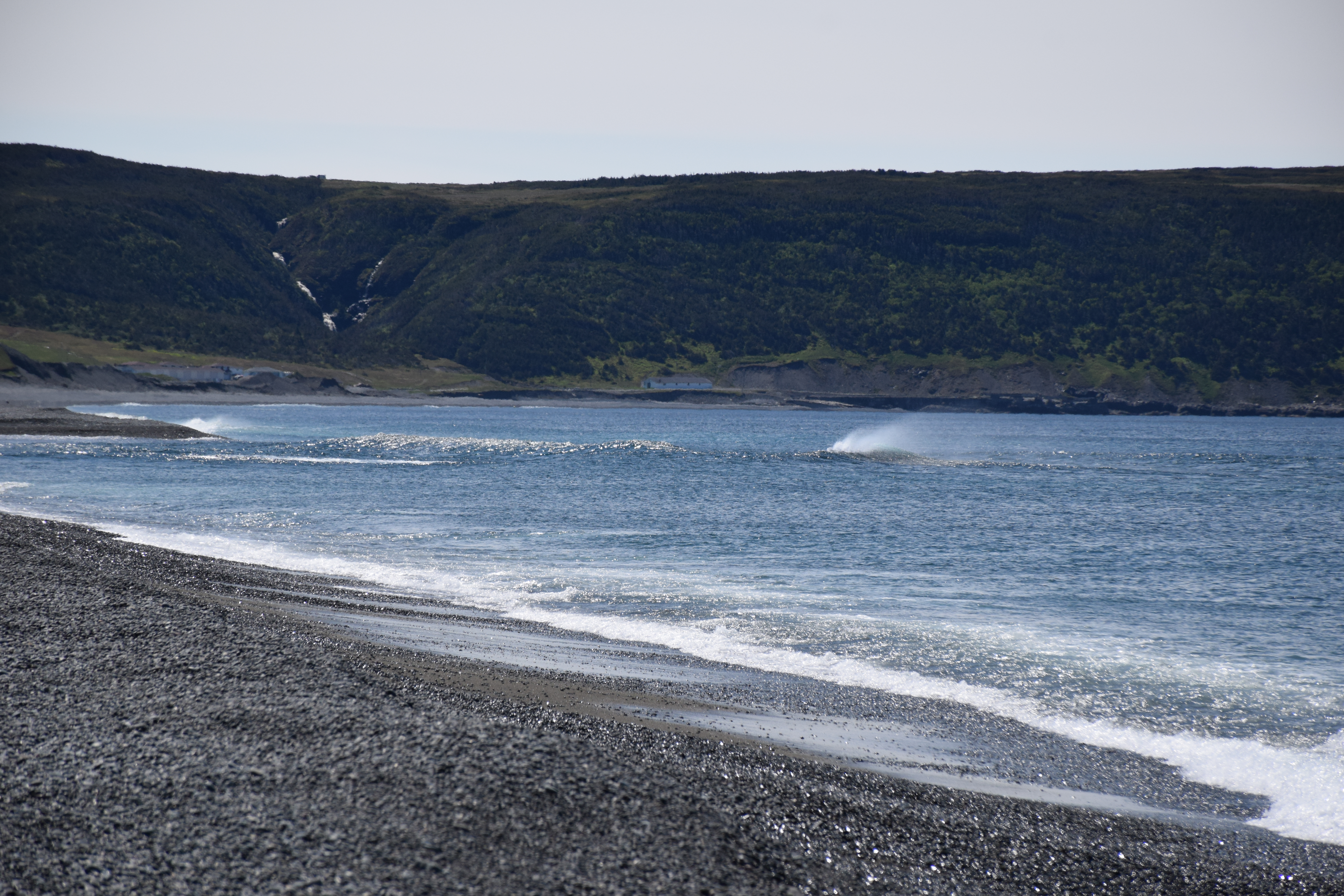
Waterfall in Newfoundland
St Vincents Newfoundland
Topographic Map of Division No. 1, NL, Canada
Find elevation by address:

Places in Division No. 1, NL, Canada:
St. John's
Paradise
Division No. 1, Subd. W
Division No. 1, Subd. F
Division No. 1, Subd. Y
Division No. 1, Subd. E
Division No. 1, Subd. G
Division No. 1, Subd. C
Harbour Main-chapel Cove-lakeview
Division No. 1, Subd. U
Portugal Cove-st. Philip's
Heart's Content
Saint Joseph's
Avondale
Conception Harbour
Division No. 1, Subd. I
Hant's Harbour
Harbour Grace
Saint Vincent's-st. Stephen's-peter's River
Admirals Beach
Fermeuse
Colinet
Long Harbour-mount Arlington Heights
Conception Bay South
Arnold's Cove
Division No. 1, Subd. X
South River
Division No. 1, Subd. R
Division No. 1, Subd. A
Saint Shott's
Placentia
70 Pond Side Rd, Spaniard's Bay, NL A0A 3X0, Canada
Dunville
Division No. 1, Subd. D
Carbonear
Salmon Cove
Witless Bay
Bay Bulls
Torbay
Mount Pearl
Dunphys Pond
South East Bight
Breeches Pond
Holyrood
Places near Division No. 1, NL, Canada:
Saint Mary's
NL-94, Riverhead, NL A0A 3P0, Canada
Admirals Beach
Saint Vincent's-st. Stephen's-peter's River
Main Rd, Trepassey, NL A0A 4B0, Canada
Peter's River Road
Saint Joseph's
16 NL-94, Riverhead, NL A0A 3P0, Canada
Dunphys Pond
North Harbour
NL-93, North Harbour, NL A0B 2V0, Canada
75 NL-90, Trepassey, NL A0A 4B0, Canada
Saint Shott's
7 NL-91, Mount Carmel, NL A0B 2M0, Canada
Colinet
Division No. 1, Subd. X
Division No. 1, Subd. C
Dunville
26 Swans Rd
Placentia
Recent Searches:
- Elevation of Corso Fratelli Cairoli, 35, Macerata MC, Italy
- Elevation of Tallevast Rd, Sarasota, FL, USA
- Elevation of 4th St E, Sonoma, CA, USA
- Elevation of Black Hollow Rd, Pennsdale, PA, USA
- Elevation of Oakland Ave, Williamsport, PA, USA
- Elevation of Pedrógão Grande, Portugal
- Elevation of Klee Dr, Martinsburg, WV, USA
- Elevation of Via Roma, Pieranica CR, Italy
- Elevation of Tavkvetili Mountain, Georgia
- Elevation of Hartfords Bluff Cir, Mt Pleasant, SC, USA