Elevation of S Trafalgar Dr, Kirkland, AZ, USA
Location: United States > Arizona > Yavapai County > Wilhoit >
Longitude: -112.60604
Latitude: 34.416132
Elevation: 1435m / 4708feet
Barometric Pressure: 85KPa
Elevation Map:
Satellite Map:
Related Photos:

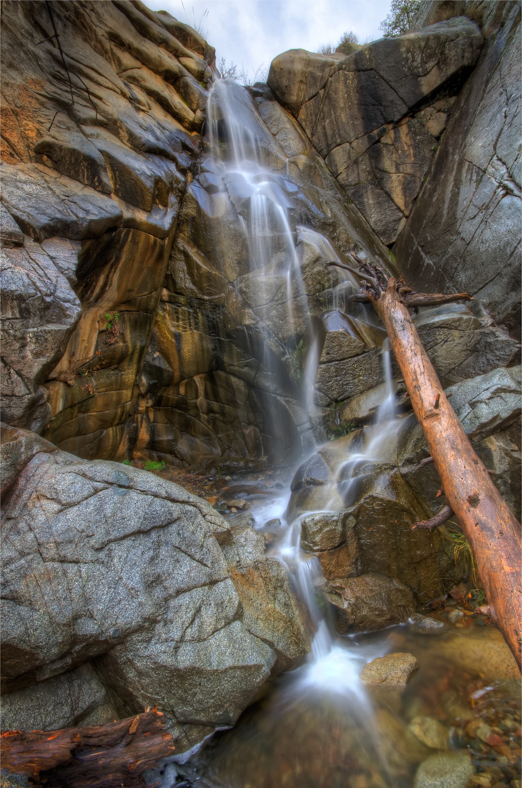
Hollowing at wolf creek falls moon
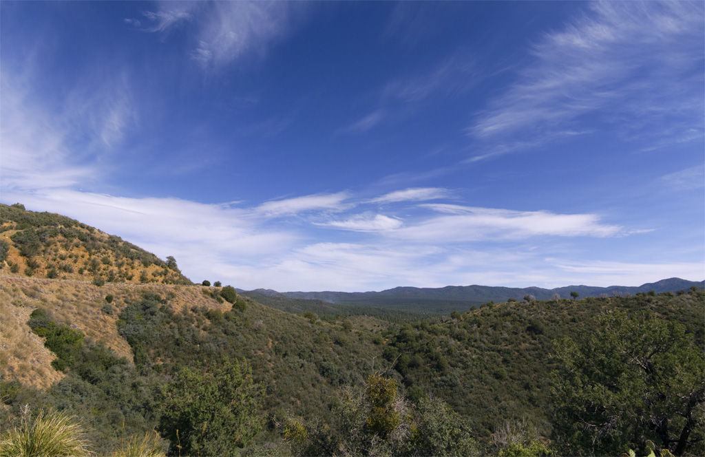
Prescott National Forest
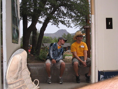
view from the registration shack
Guess what?
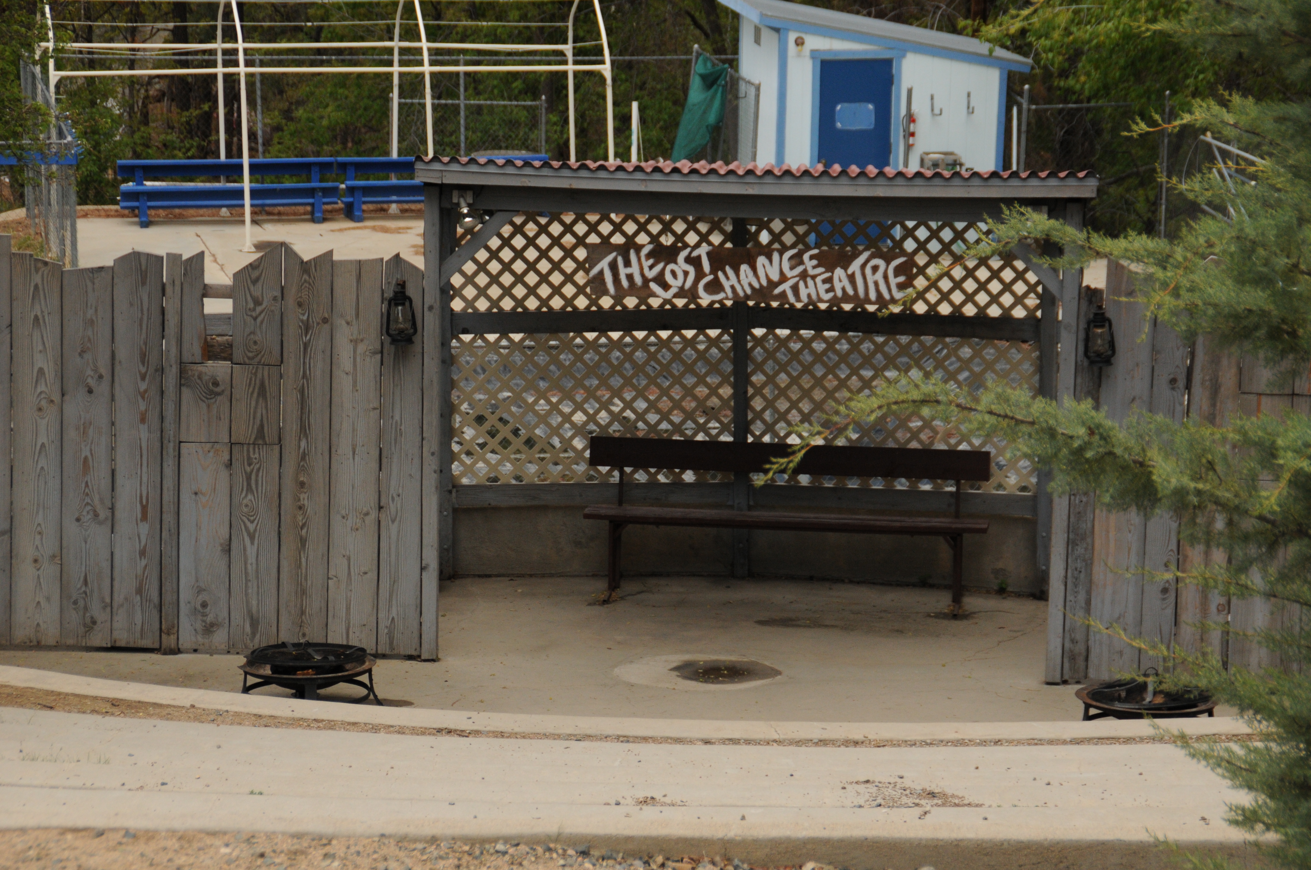
Last Chance Theatre

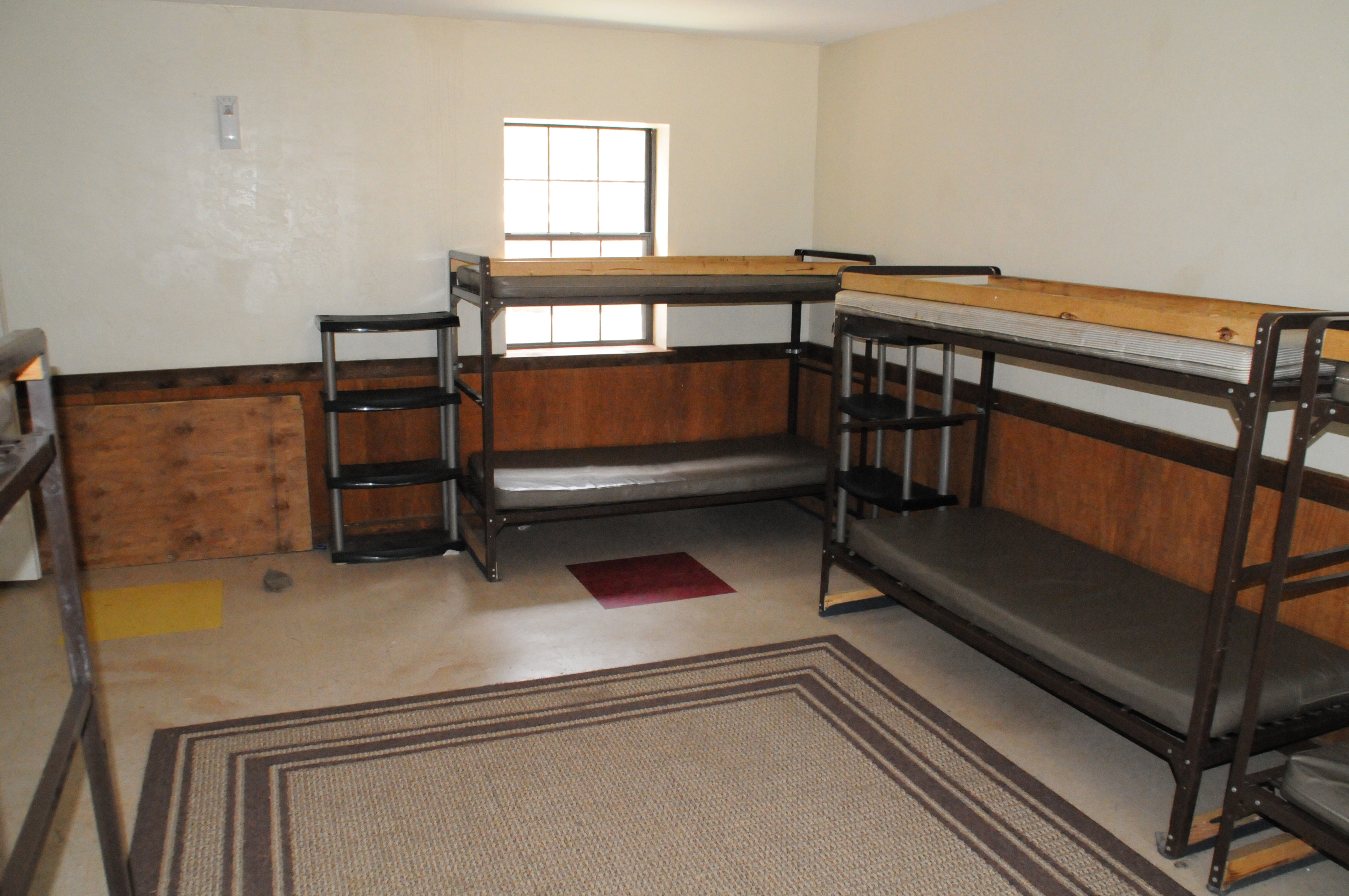
Inside view of dining hall
MPW_5315_6_7_9_tonemapped (Custom)

Prescott-7850-HDR-Pano

Beyond Breathtaking...

prescott ahead

Trail 264 Hike

Trail 264 Hike
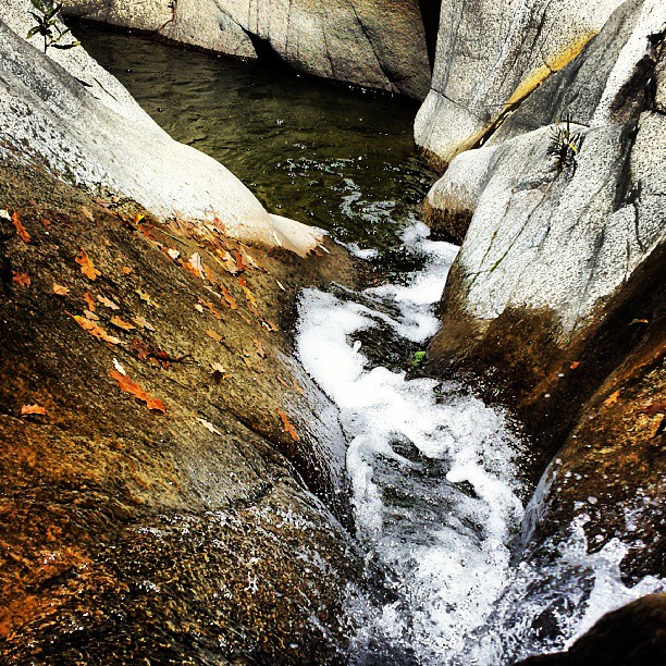
Cute lil crick #prescottnationalforest #senatorhighway #beautifulday #nature #gratefulasfuck

Wonderland <3
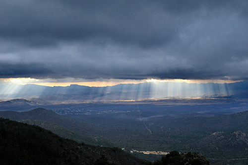
there be rain coming
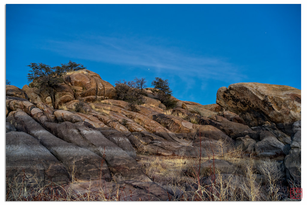
Rocks at Twilight
White Spar pond

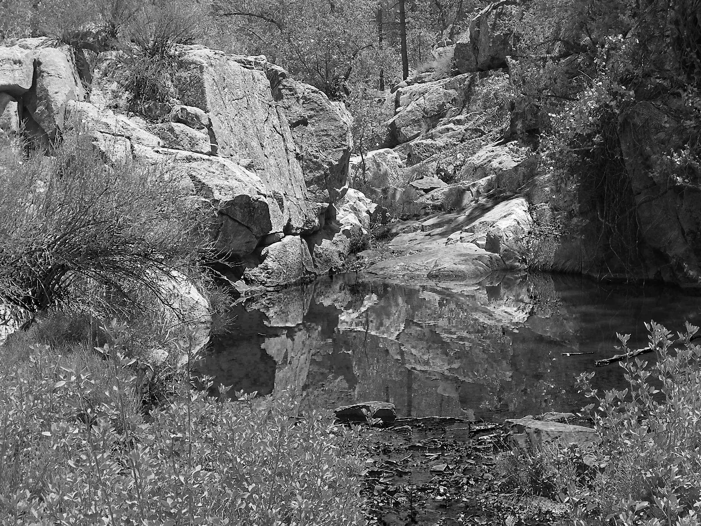
Granite Reflection
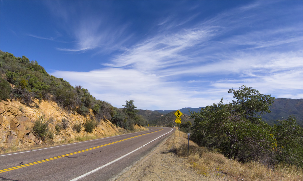
Arizona SR 89 14
Peeples Valley Vista

Arizona SR 89 4
Arizona SR 89 6
Arizona SR 89 12

Last Import-6

mt. watkins
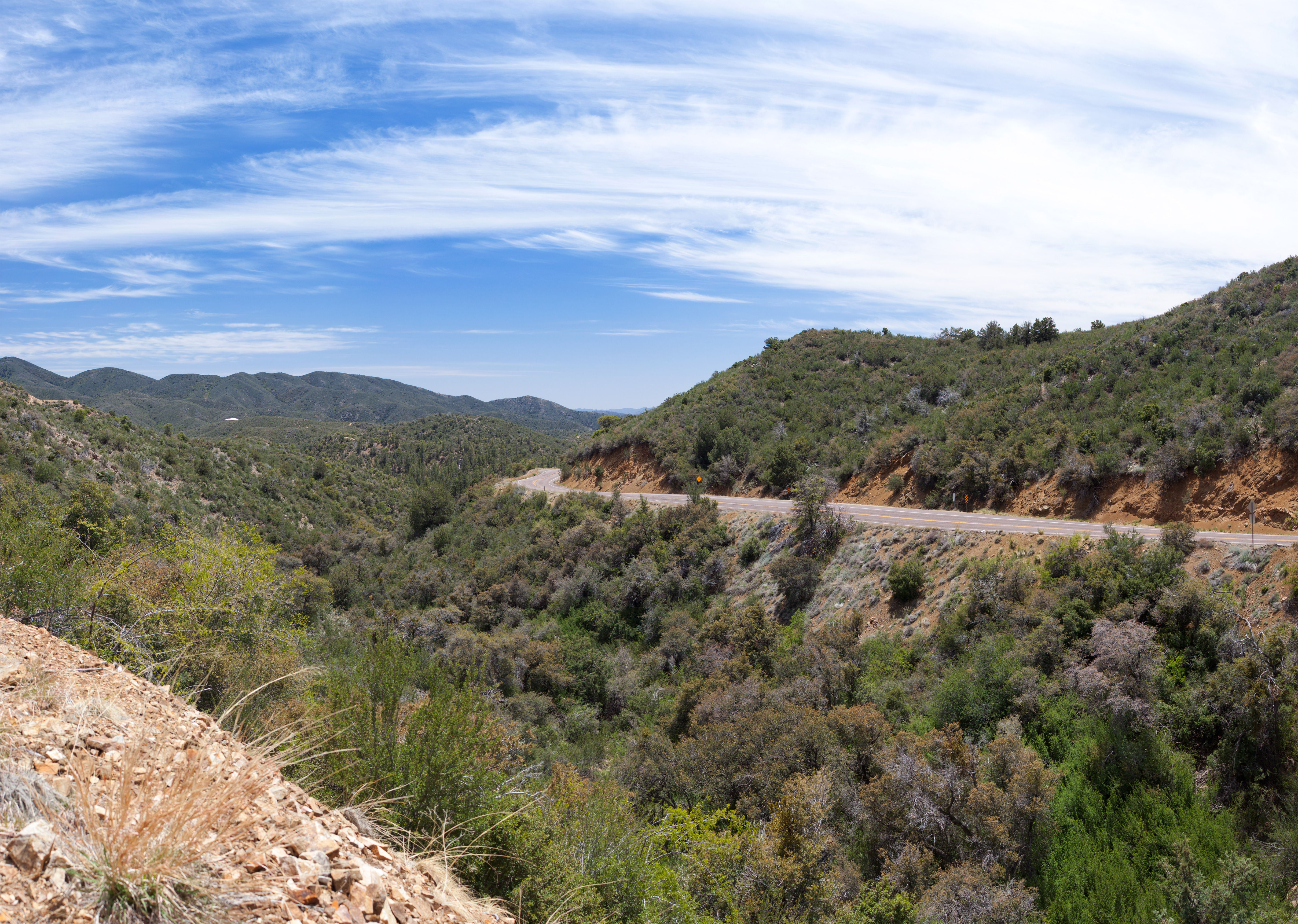
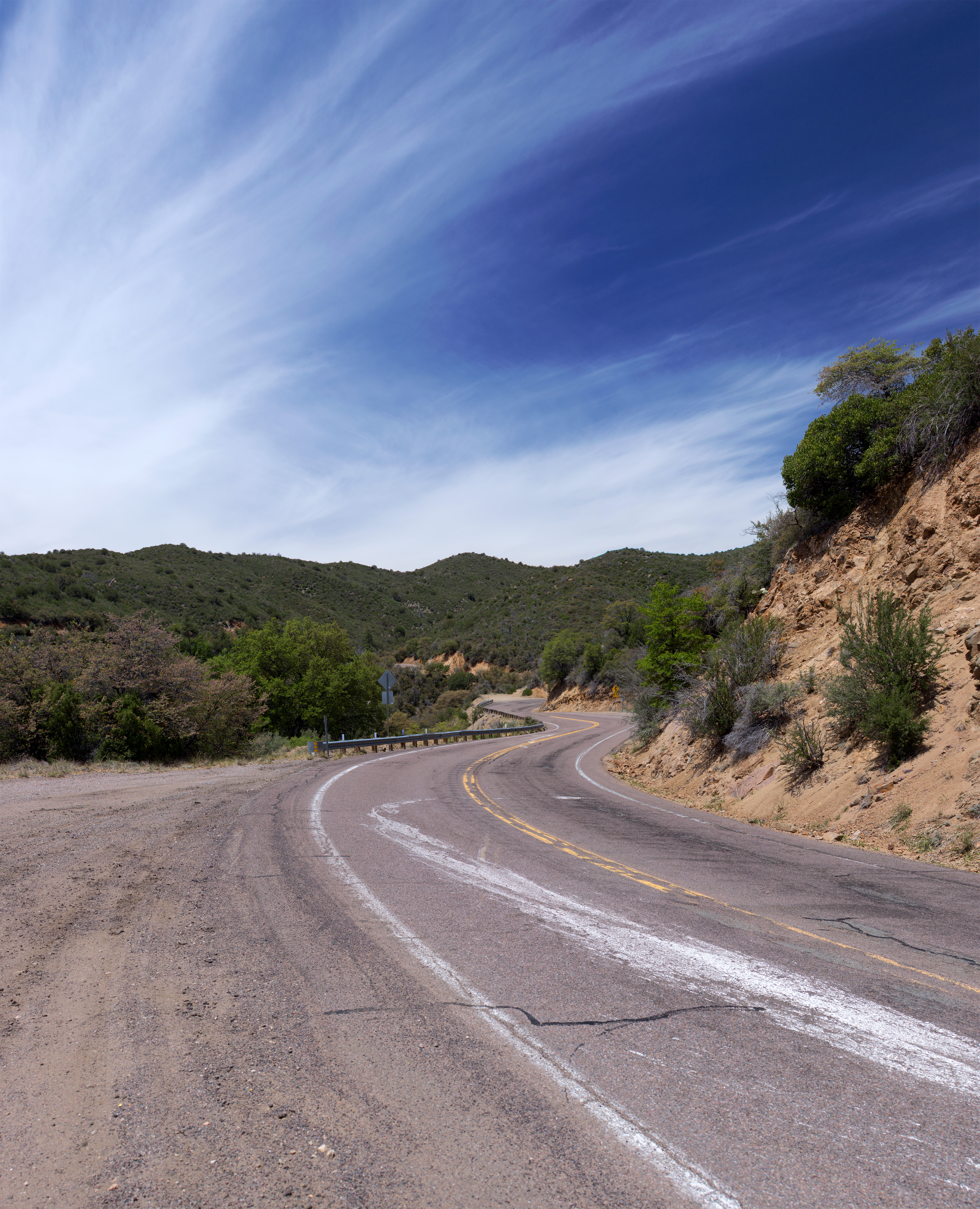
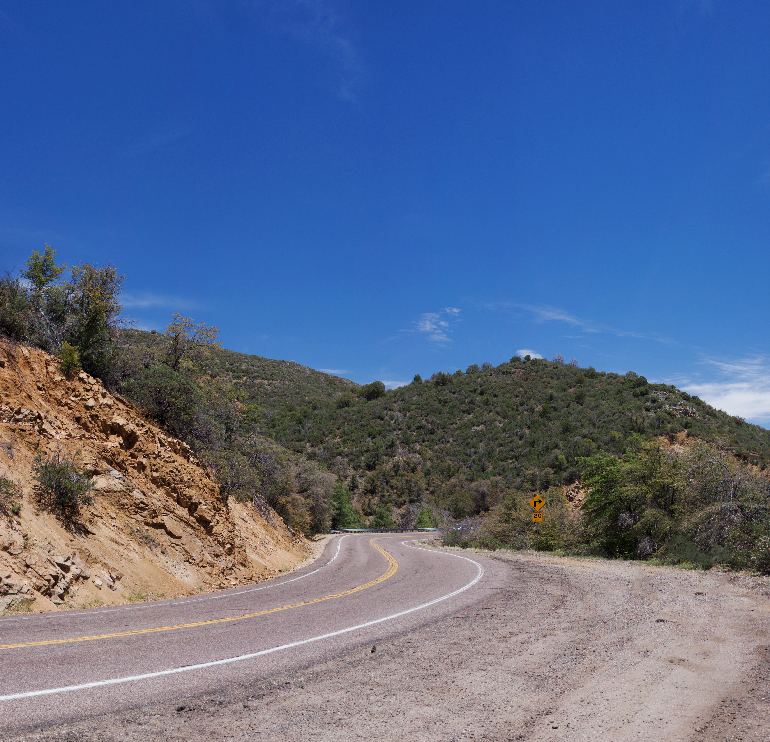
Curves Ahead
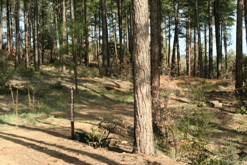
Trail 264 Hike
Topographic Map of S Trafalgar Dr, Kirkland, AZ, USA
Find elevation by address:

Places near S Trafalgar Dr, Kirkland, AZ, USA:
8240 W Flint Dr
7790 W Emerson Dr
9340 S Steven Trail
7230 Veda Ln
7975 W Lowell Dr
AZ-89, Kirkland, AZ, USA
Wilhoit
Copper Basin Road
6811 Windmill Rd
8370 E Windmill Rd
Kirkland, AZ, USA
State Highway 89
Kirkland
3550 Iron Springs Rd
Skull Valley
Brady Rd, Prescott, AZ, USA
2565 Iron Springs Rd
Thumb Butte Road
8235 Co Rd 10
Bull Elk Ridge
Recent Searches:
- Elevation of 72-31 Metropolitan Ave, Middle Village, NY, USA
- Elevation of 76 Metropolitan Ave, Brooklyn, NY, USA
- Elevation of Alisal Rd, Solvang, CA, USA
- Elevation of Vista Blvd, Sparks, NV, USA
- Elevation of 15th Ave SE, St. Petersburg, FL, USA
- Elevation of Beall Road, Beall Rd, Florida, USA
- Elevation of Leguwa, Nepal
- Elevation of County Rd, Enterprise, AL, USA
- Elevation of Kolchuginsky District, Vladimir Oblast, Russia
- Elevation of Shustino, Vladimir Oblast, Russia