Elevation of S Steven Trail, Kirkland, AZ, USA
Location: United States > Arizona > Yavapai County > Kirkland >
Longitude: -112.59241
Latitude: 34.4129336
Elevation: -10000m / -32808feet
Barometric Pressure: 295KPa
Elevation Map:
Satellite Map:
Related Photos:

Barbed Wire

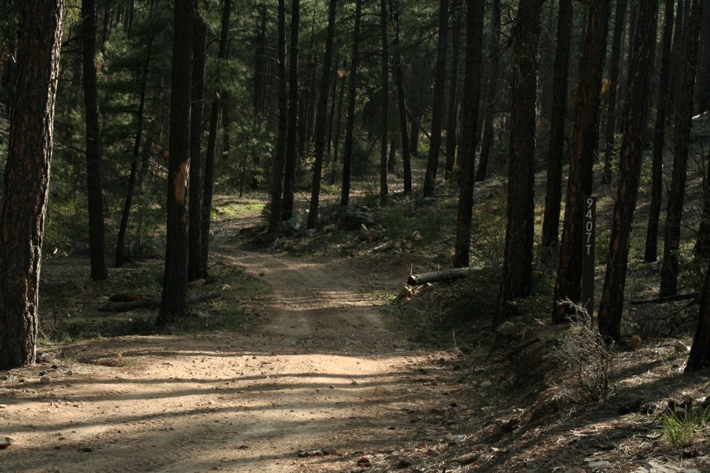
Thumb Butte View

View from the Dam

view from the registration shack

Guess what?

Last Chance Theatre

Inside view of dining hall
Home - wide angle
Hollowing at wolf creek falls moon

MPW_5315_6_7_9_tonemapped (Custom)

Prescott-7850-HDR-Pano

sunset clouds
Beyond Breathtaking...

Trail 264 Hike

prescott ahead
Wonderland <3
Trail 264 Hike

there be rain coming

OJ Snow Run 05

mountain meadow
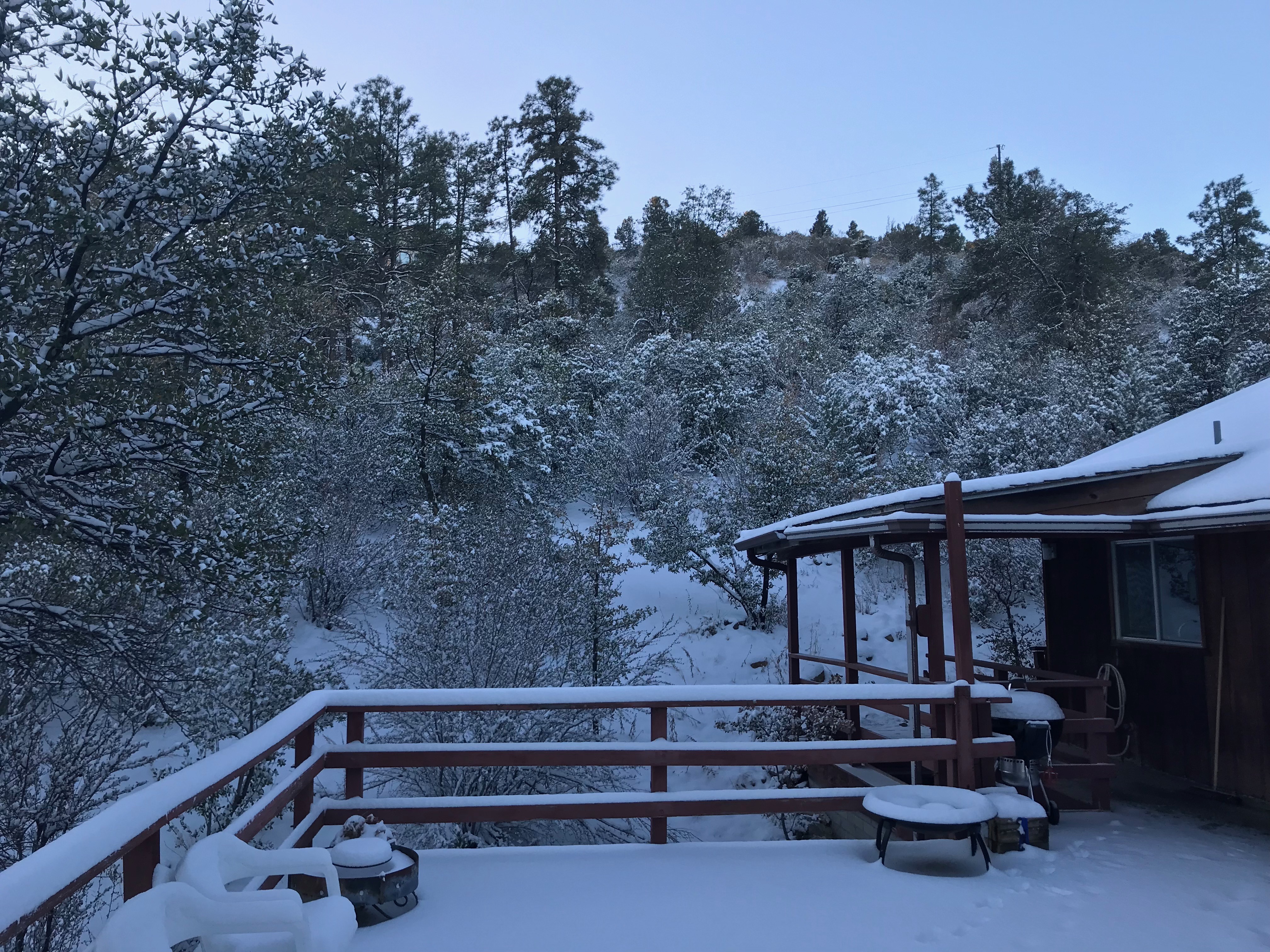
Mountain Shack Jan 2018

Mountains nearby

Tall trees

Peeples Valley Vista

Arizona SR 89 4
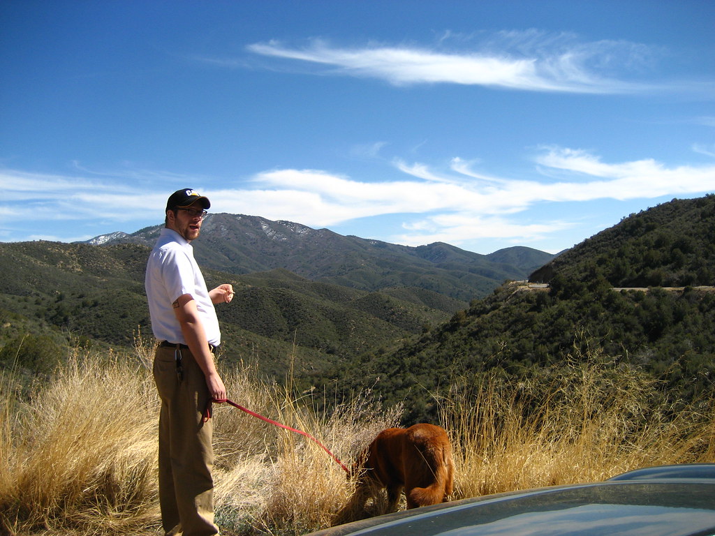
Exploring Arizona

Arizona SR 89 6

Looking over towards the dam

White Spar pond
Topographic Map of S Steven Trail, Kirkland, AZ, USA
Find elevation by address:

Places near S Steven Trail, Kirkland, AZ, USA:
7230 Veda Ln
AZ-89, Kirkland, AZ, USA
9080 S Trafalgar Dr
Wilhoit
7790 W Emerson Dr
8240 W Flint Dr
7975 W Lowell Dr
Copper Basin Road
State Highway 89
Kirkland, AZ, USA
6811 Windmill Rd
8370 E Windmill Rd
Kirkland
Thumb Butte Road
Brady Rd, Prescott, AZ, USA
3550 Iron Springs Rd
1510 S Mullen Way
2080 S Weekes Rd
1585 High Valley Ranch Rd
Skull Valley
Recent Searches:
- Elevation of 72-31 Metropolitan Ave, Middle Village, NY, USA
- Elevation of 76 Metropolitan Ave, Brooklyn, NY, USA
- Elevation of Alisal Rd, Solvang, CA, USA
- Elevation of Vista Blvd, Sparks, NV, USA
- Elevation of 15th Ave SE, St. Petersburg, FL, USA
- Elevation of Beall Road, Beall Rd, Florida, USA
- Elevation of Leguwa, Nepal
- Elevation of County Rd, Enterprise, AL, USA
- Elevation of Kolchuginsky District, Vladimir Oblast, Russia
- Elevation of Shustino, Vladimir Oblast, Russia