Elevation of W Emerson Dr, Kirkland, AZ, USA
Location: United States > Arizona > Yavapai County > Kirkland >
Longitude: -112.59935
Latitude: 34.4268799
Elevation: 1485m / 4872feet
Barometric Pressure: 85KPa
Elevation Map:
Satellite Map:
Related Photos:

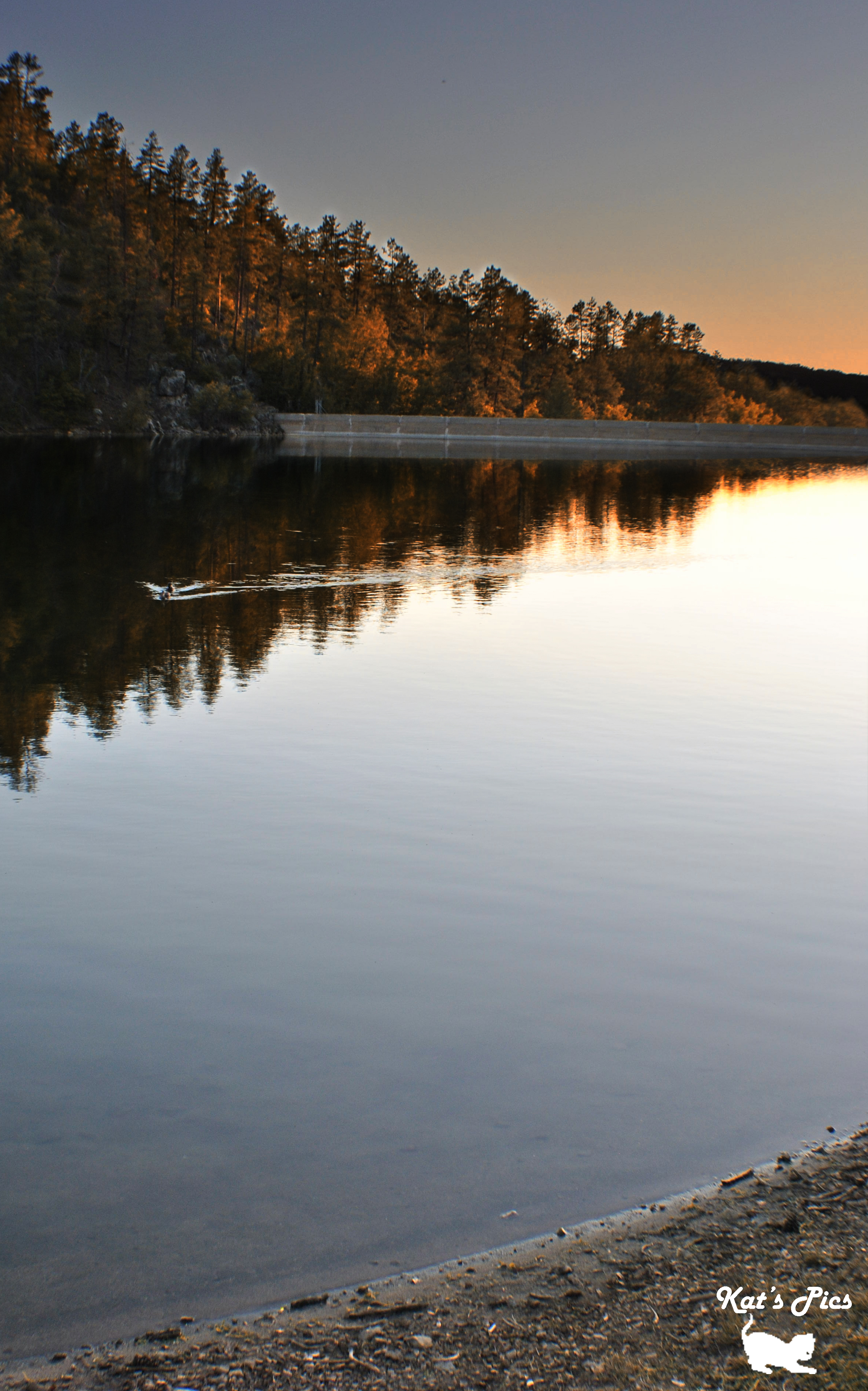
Golden Reflections

'ChromaDepth 3D Man" [final signed version]
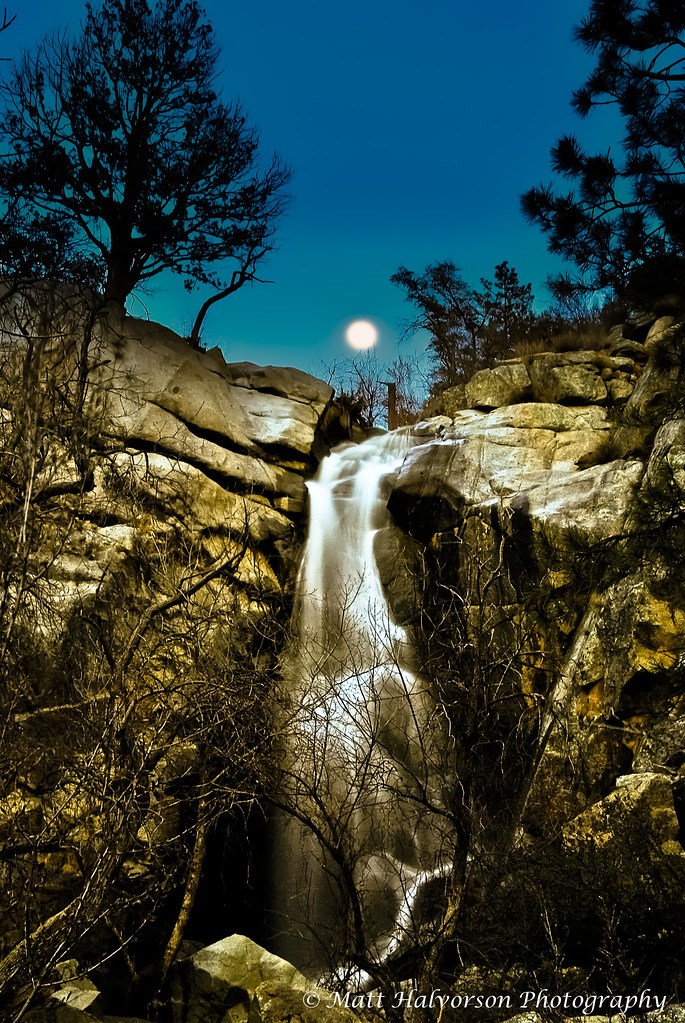
Hollowing at wolf creek falls moon

Thumb Butte at about 6,000' February 20, 2013

'ChromaDepth 3D Man 2.0"

Barbed Wire

Prescott National Forest

Pine View Motel
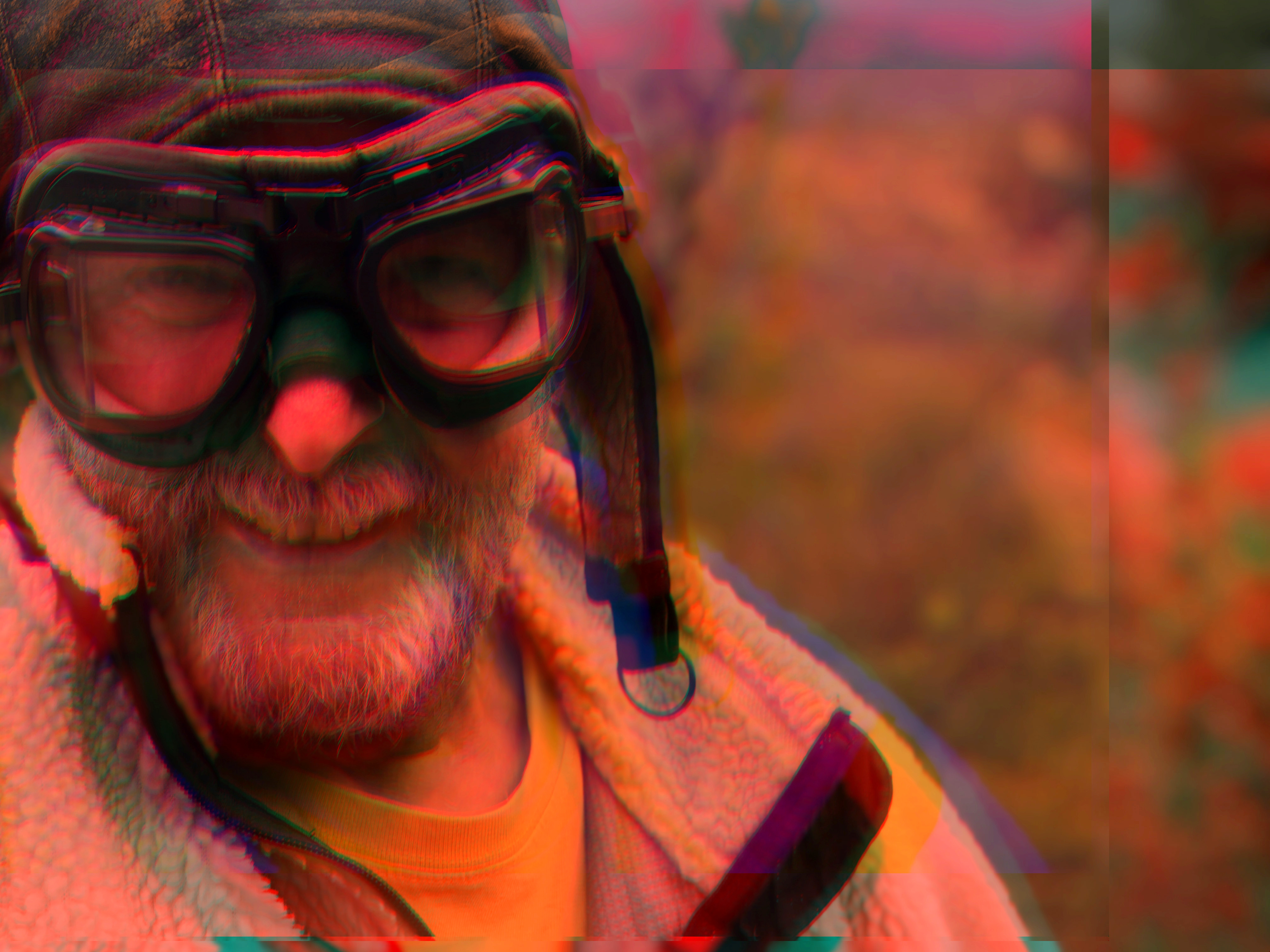
"ChromaDepth 3D Man"
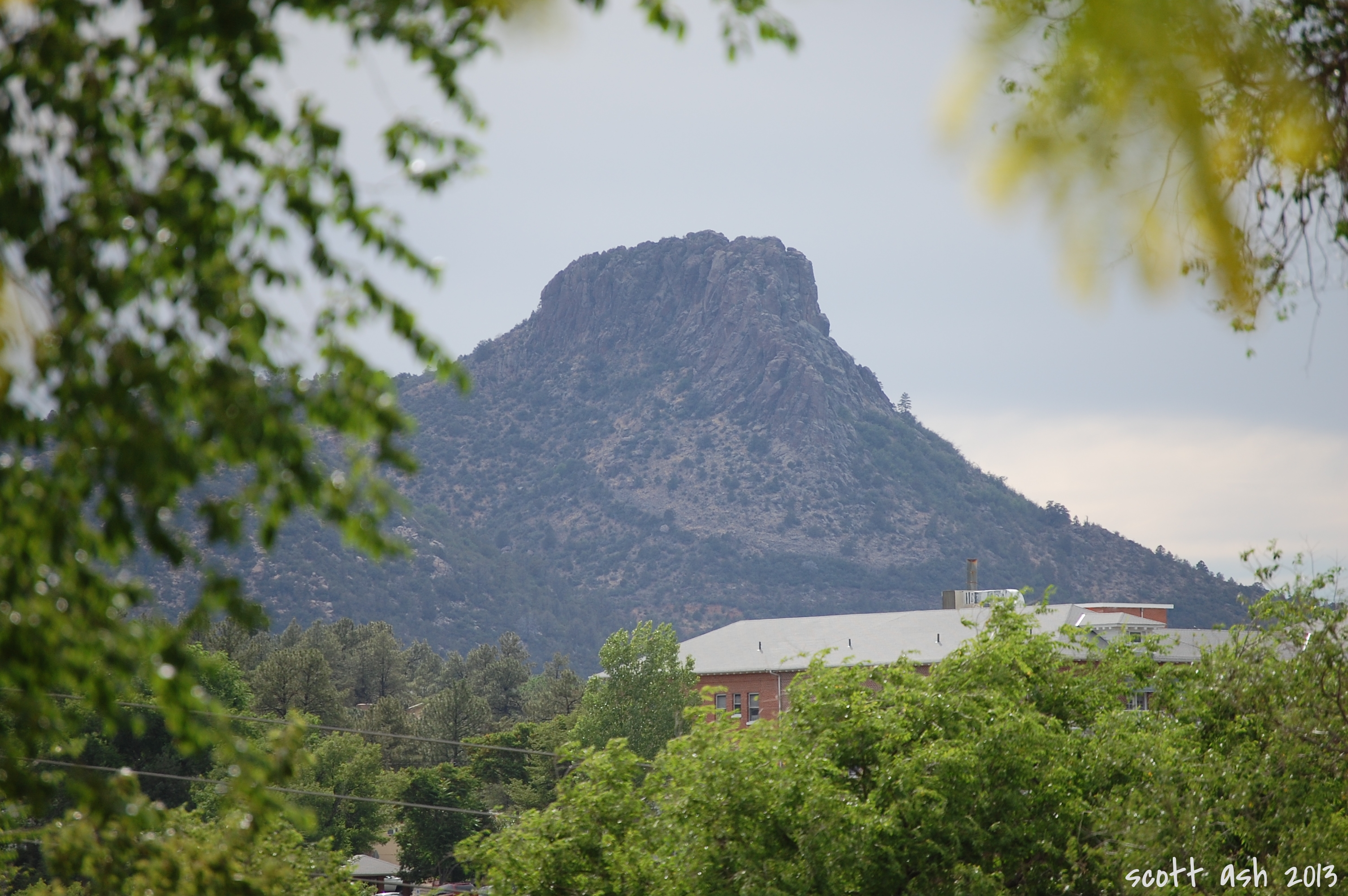
Thumb Butte

Last Chance Theatre

Inside view of dining hall

Guess what?

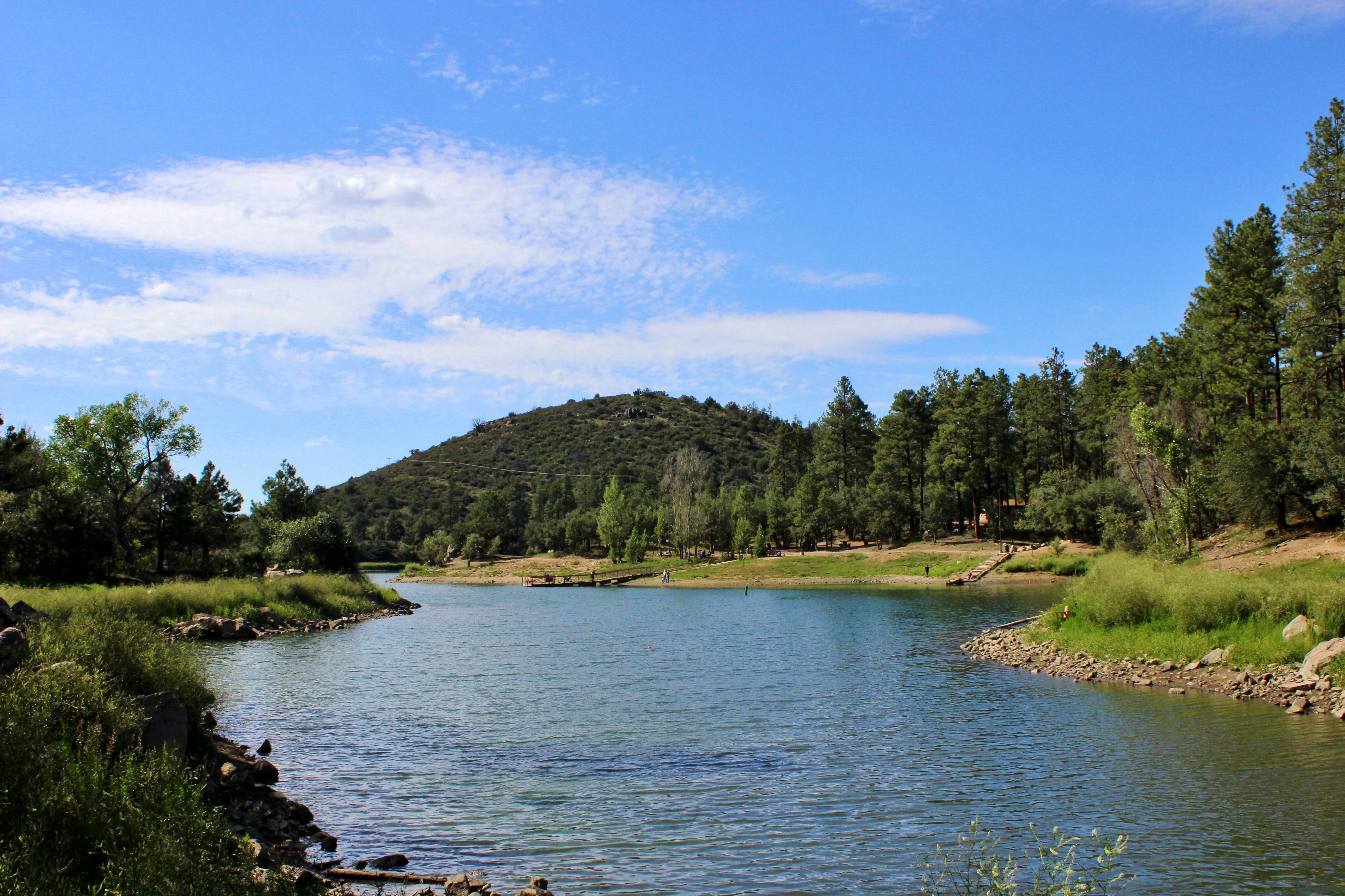
Lower Goldwater Lake

View from the Dam

view frm prieta panorama

view frm prieta

view from prieta

view from prieta

Thumb Butte Trail: North View
Home - wide angle

Prescott-7850-HDR-Pano

Goldwater Lake forest

Goldwater Sunset

prescott ahead

"Creekside, Prescott National Forest Near Thumb Butte"

Sunset at the Lake - Explored June 19th, 2011 #322

"Looking East From Thumb Butte"

MPW_5315_6_7_9_tonemapped (Custom)
Two Ducks and a Sunset

Thumb Butte Pink Sky

Arizona SR 89 1

Arizona SR 89 6

Arizona SR 89 14

Arizona SR 89 12

Arizona SR 89 7

Arizona SR 89 4
Goldwater Lake (12)

Goldwater Lake (4)

Goldwater Lake (9)

Curves Ahead
Topographic Map of W Emerson Dr, Kirkland, AZ, USA
Find elevation by address:

Places near W Emerson Dr, Kirkland, AZ, USA:
8240 W Flint Dr
7975 W Lowell Dr
7230 Veda Ln
AZ-89, Kirkland, AZ, USA
Wilhoit
9080 S Trafalgar Dr
9340 S Steven Trail
Copper Basin Road
6811 Windmill Rd
8370 E Windmill Rd
State Highway 89
Kirkland, AZ, USA
3550 Iron Springs Rd
Kirkland
Brady Rd, Prescott, AZ, USA
Thumb Butte Road
Skull Valley
1510 S Mullen Way
1585 High Valley Ranch Rd
2080 S Weekes Rd
Recent Searches:
- Elevation of 72-31 Metropolitan Ave, Middle Village, NY, USA
- Elevation of 76 Metropolitan Ave, Brooklyn, NY, USA
- Elevation of Alisal Rd, Solvang, CA, USA
- Elevation of Vista Blvd, Sparks, NV, USA
- Elevation of 15th Ave SE, St. Petersburg, FL, USA
- Elevation of Beall Road, Beall Rd, Florida, USA
- Elevation of Leguwa, Nepal
- Elevation of County Rd, Enterprise, AL, USA
- Elevation of Kolchuginsky District, Vladimir Oblast, Russia
- Elevation of Shustino, Vladimir Oblast, Russia