Elevation of Kirkland, AZ, USA
Location: United States > Arizona > Yavapai County > Kirkland >
Longitude: -112.57218
Latitude: 34.3241565
Elevation: 1170m / 3839feet
Barometric Pressure: 88KPa
Elevation Map:
Satellite Map:
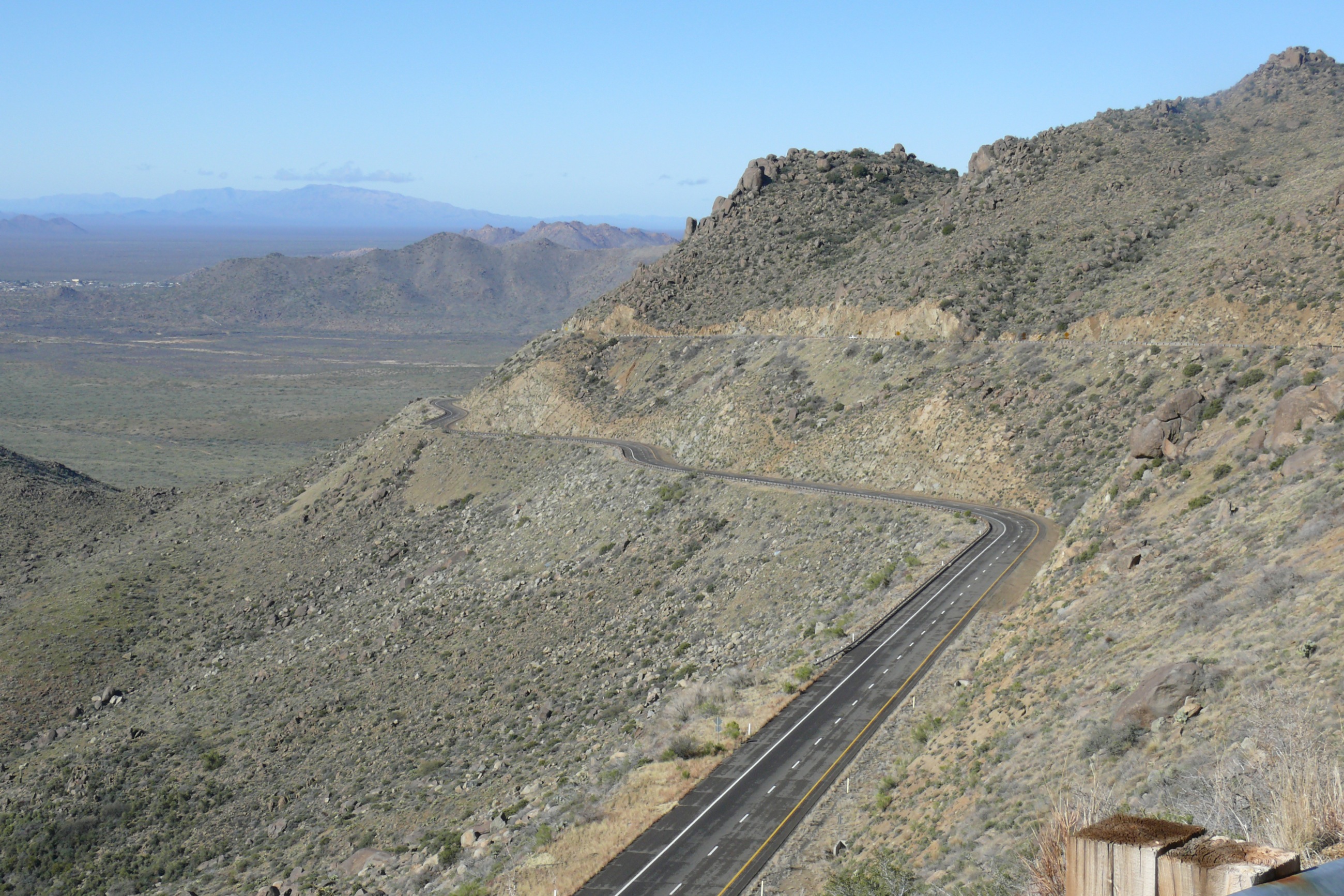
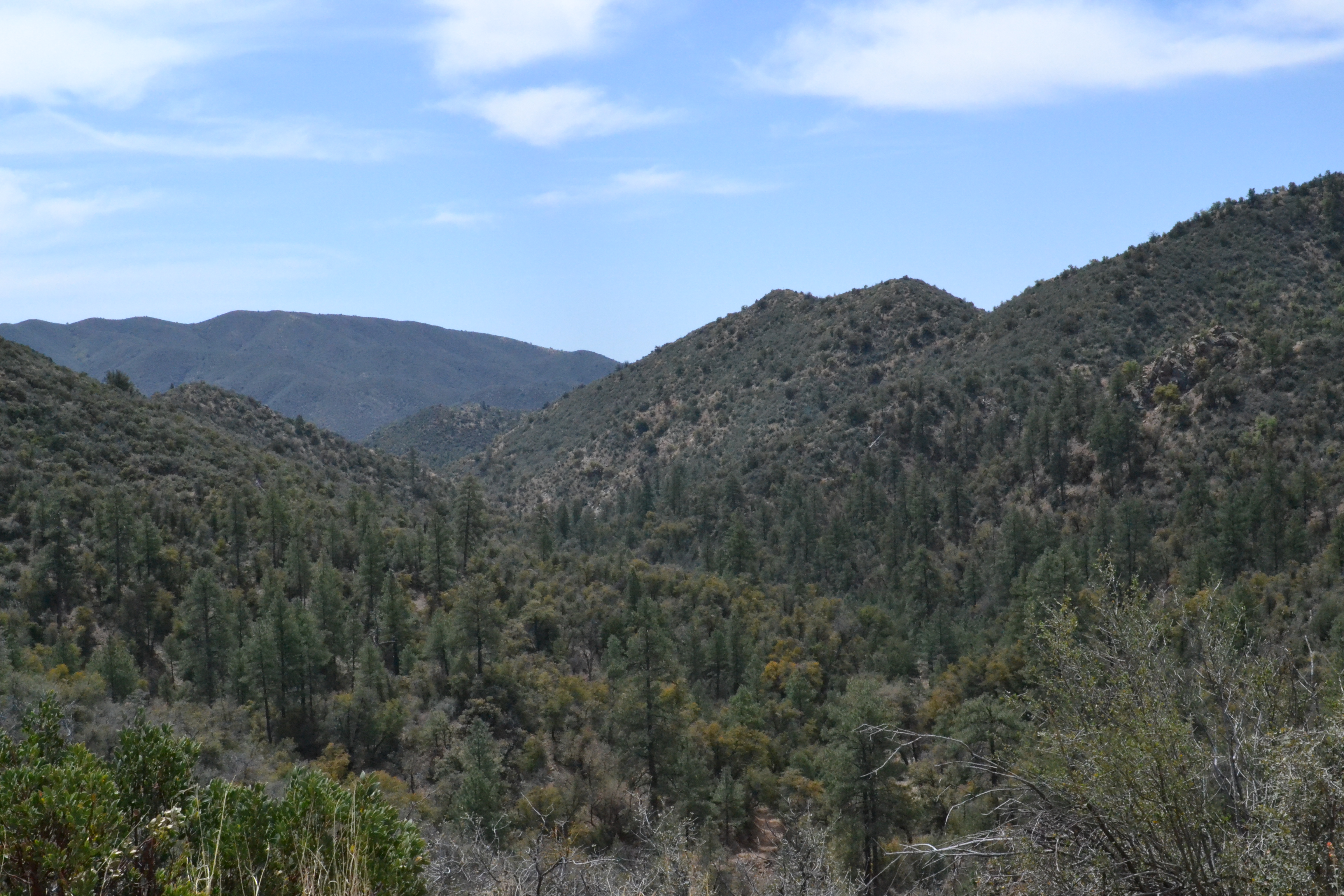
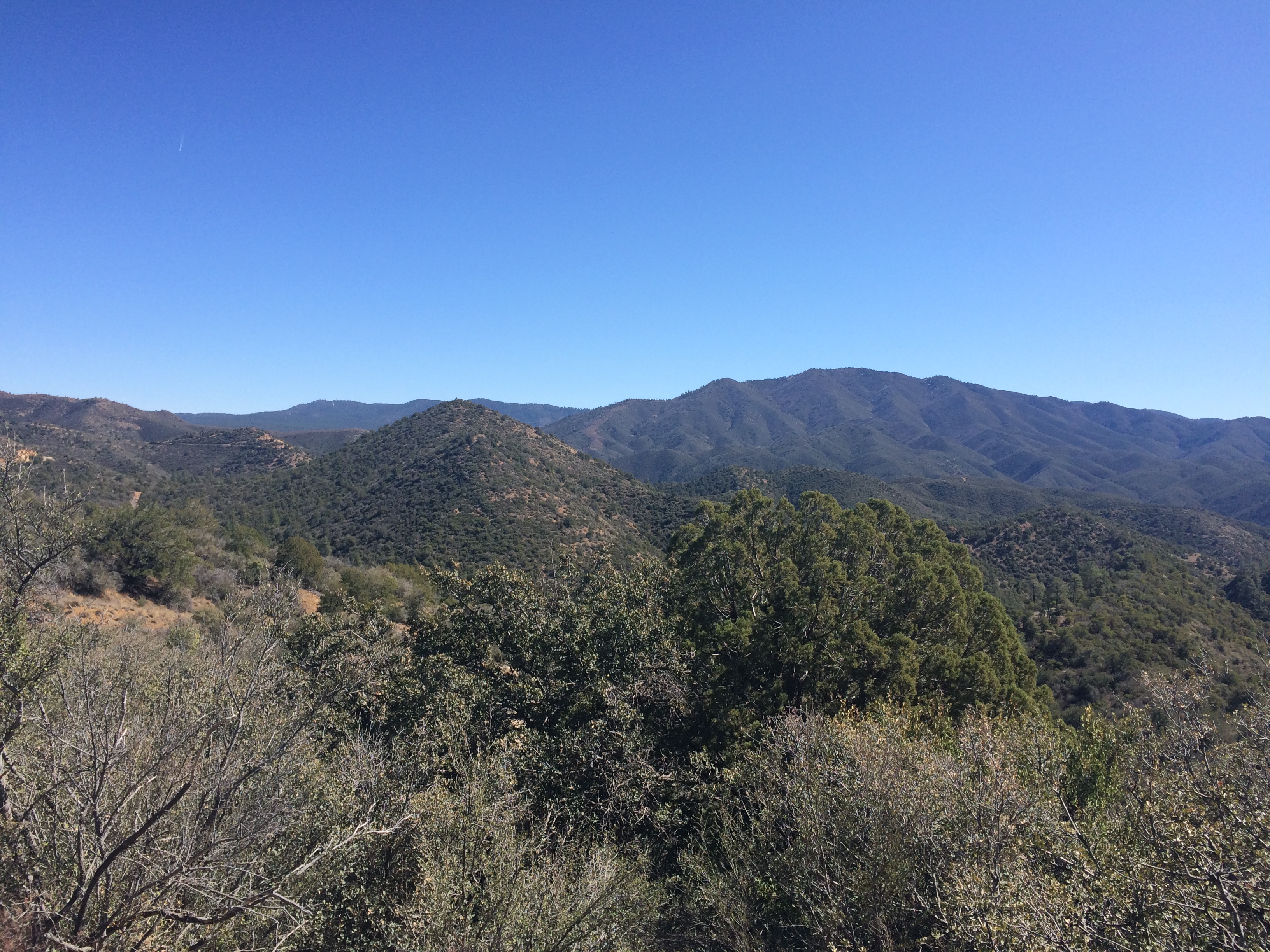
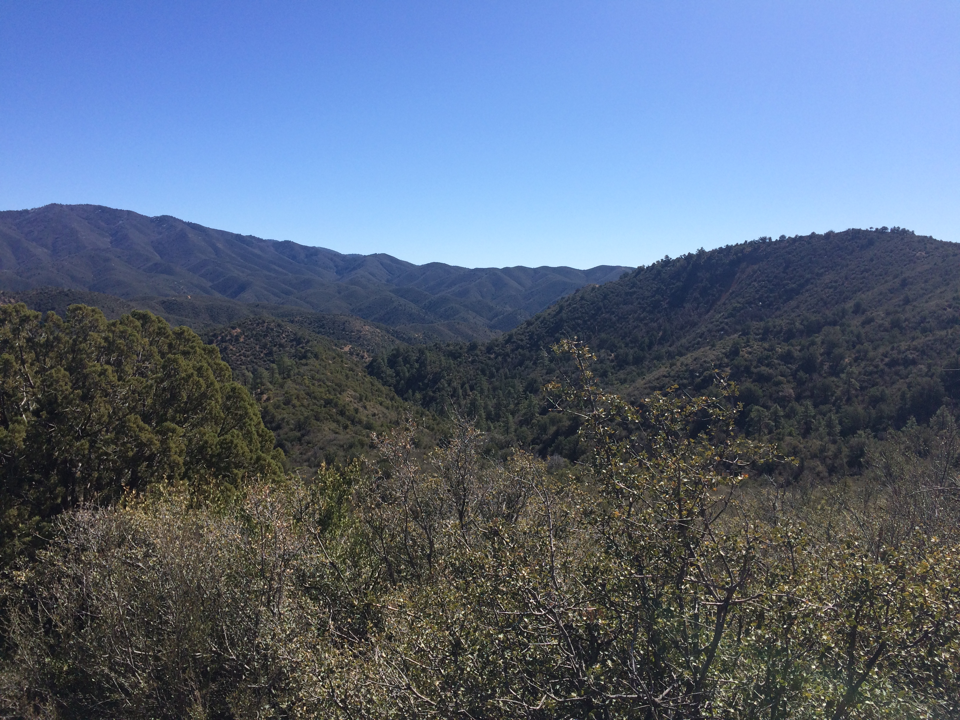
Related Photos:
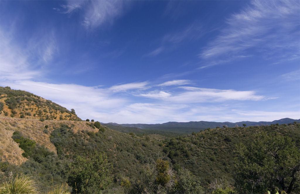
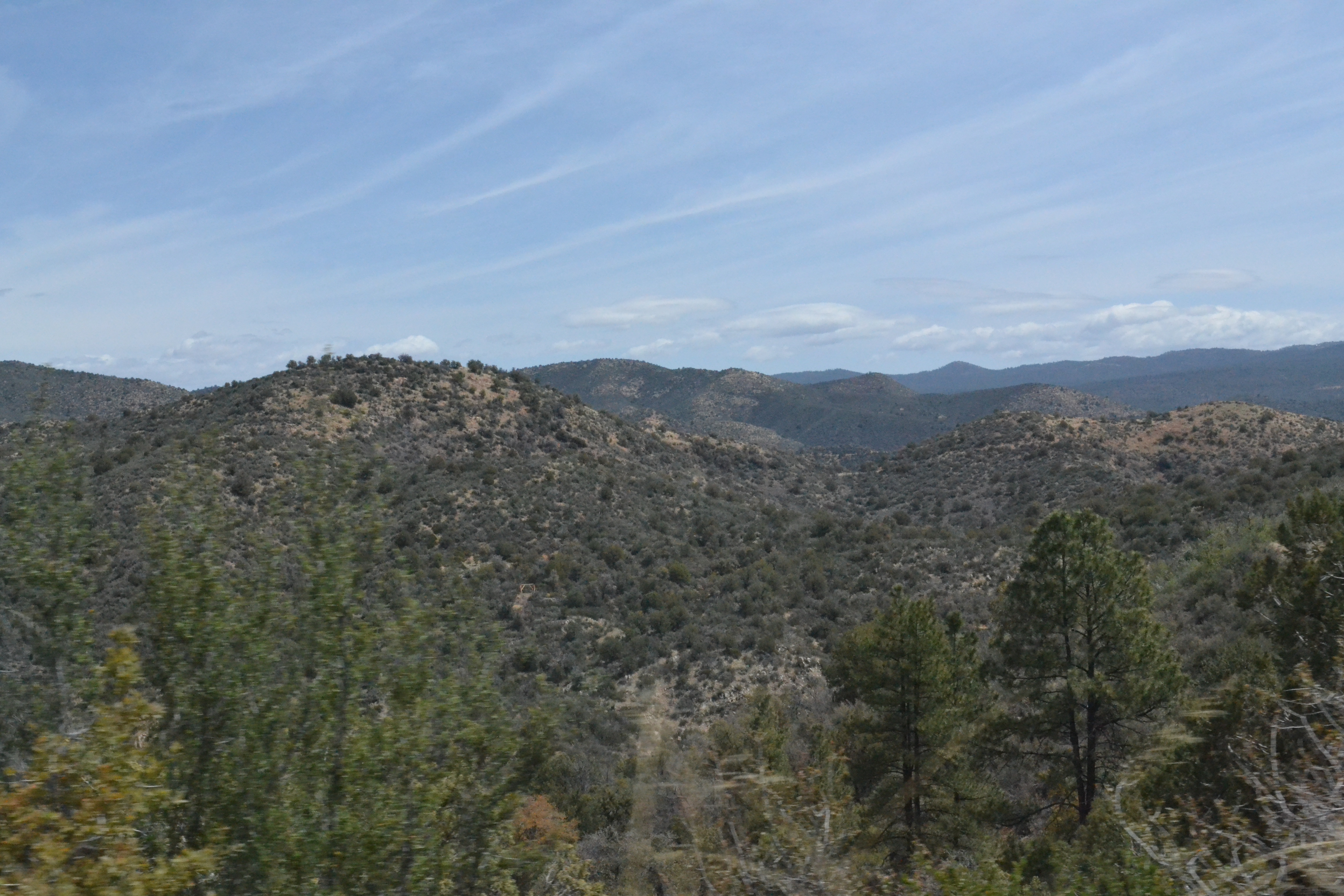
Prescott National Forest

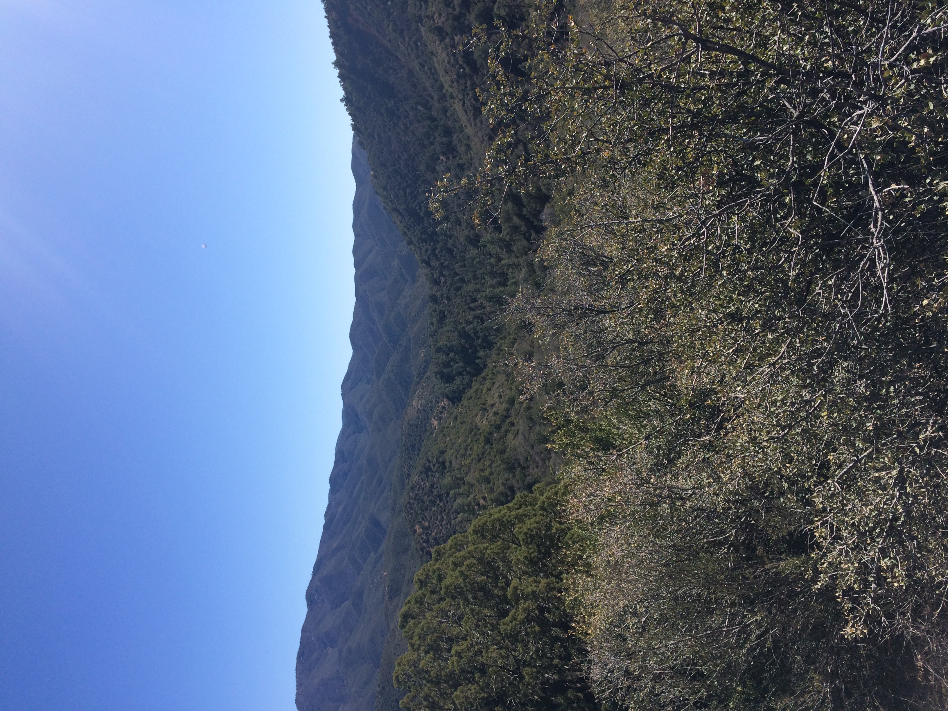
View from the Spars

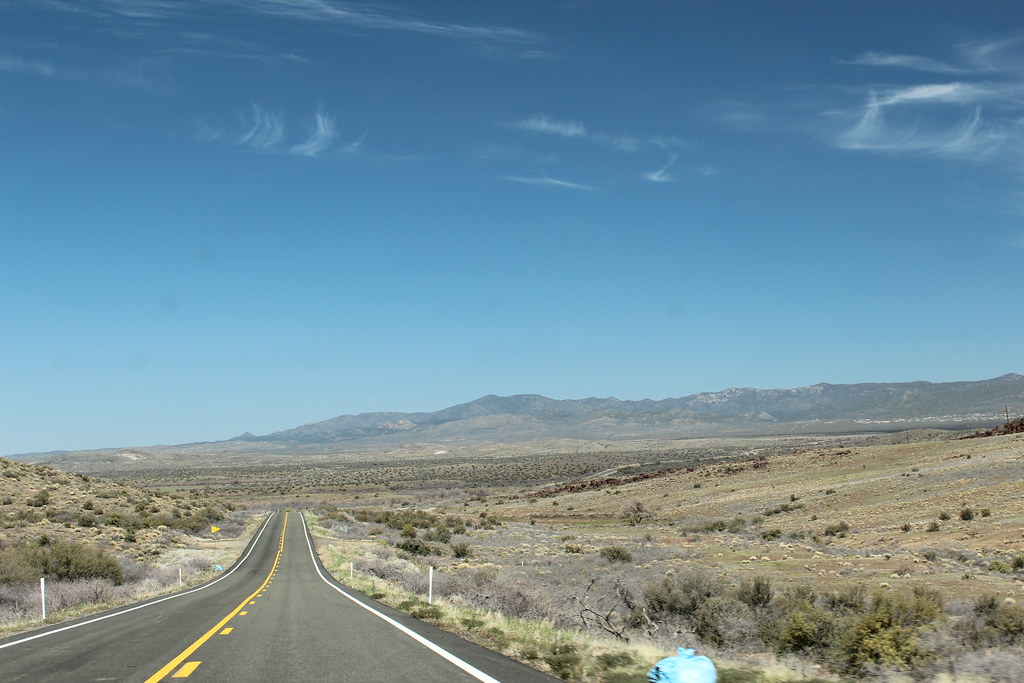
Arizona SR 89 1
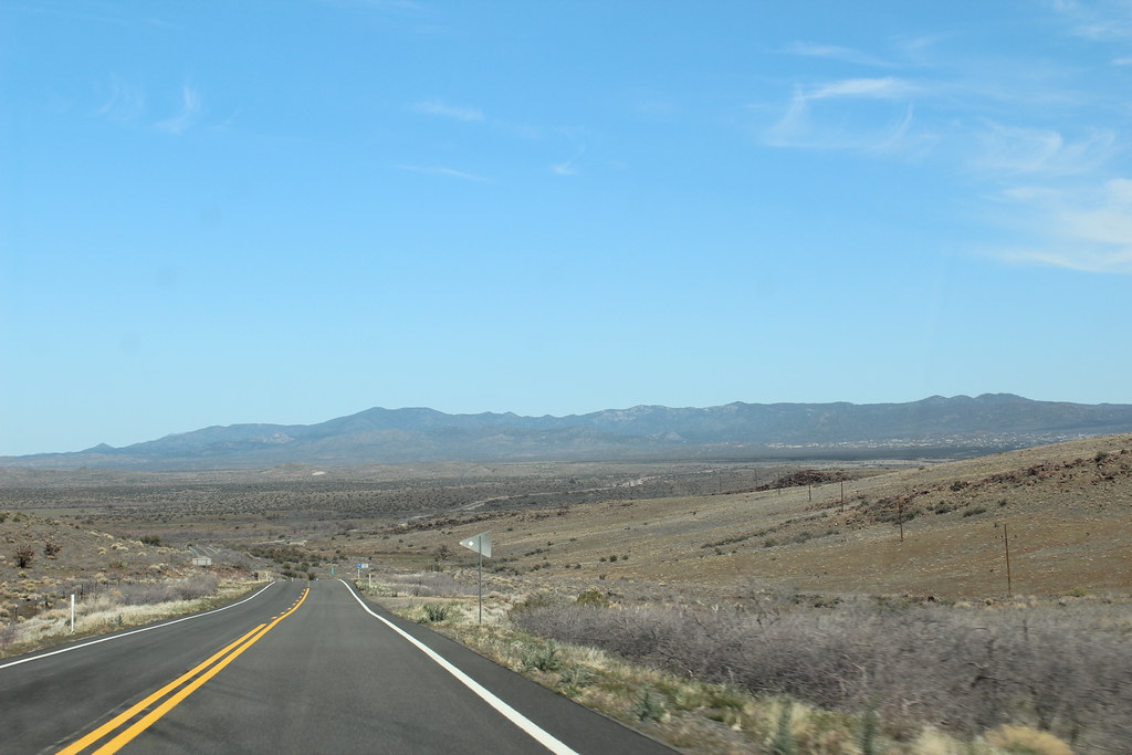
Arizona SR 89 10
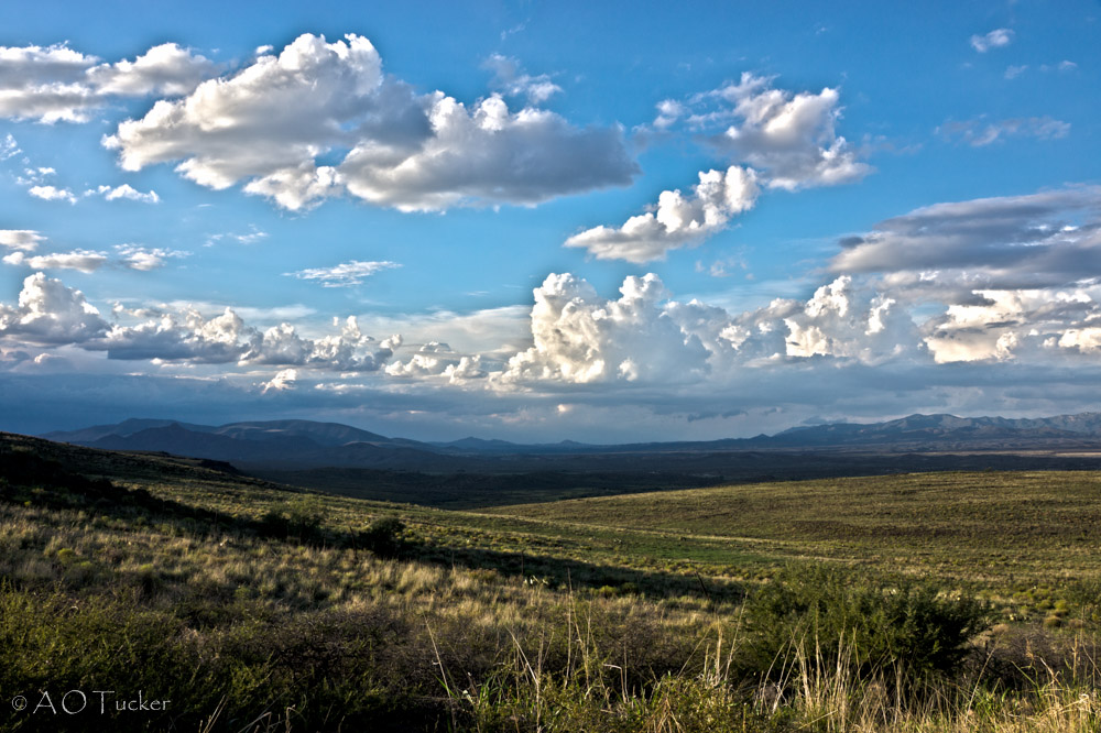
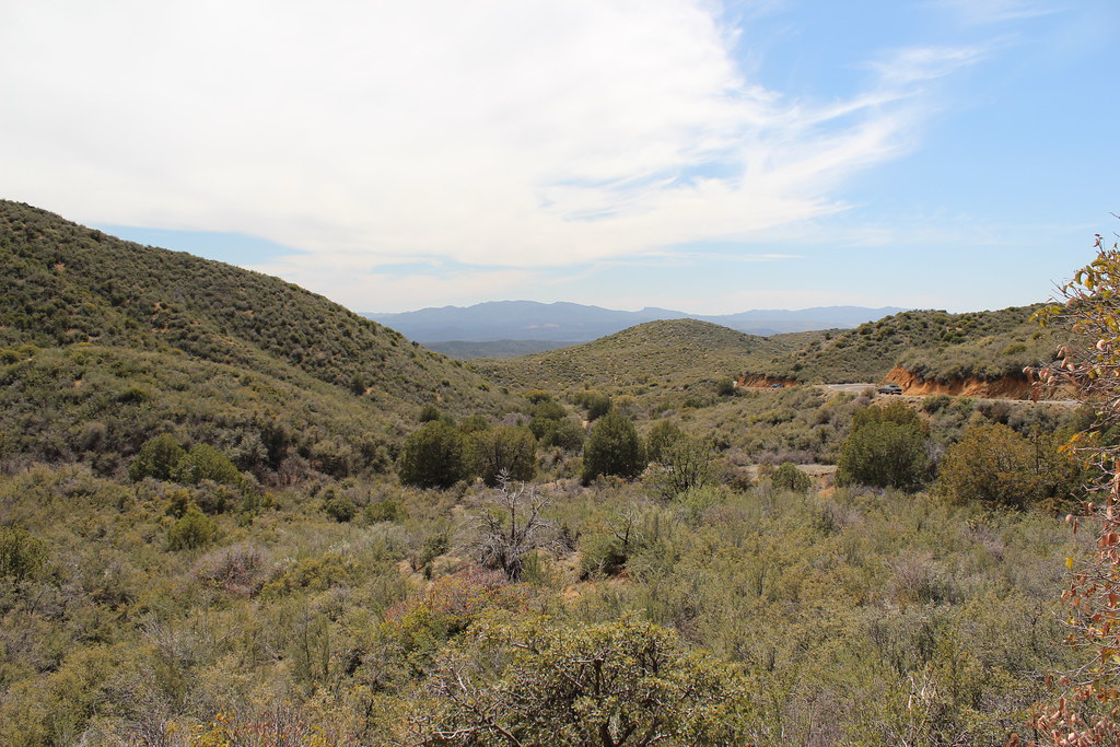
Peeples Valley Vista

Last Import-6
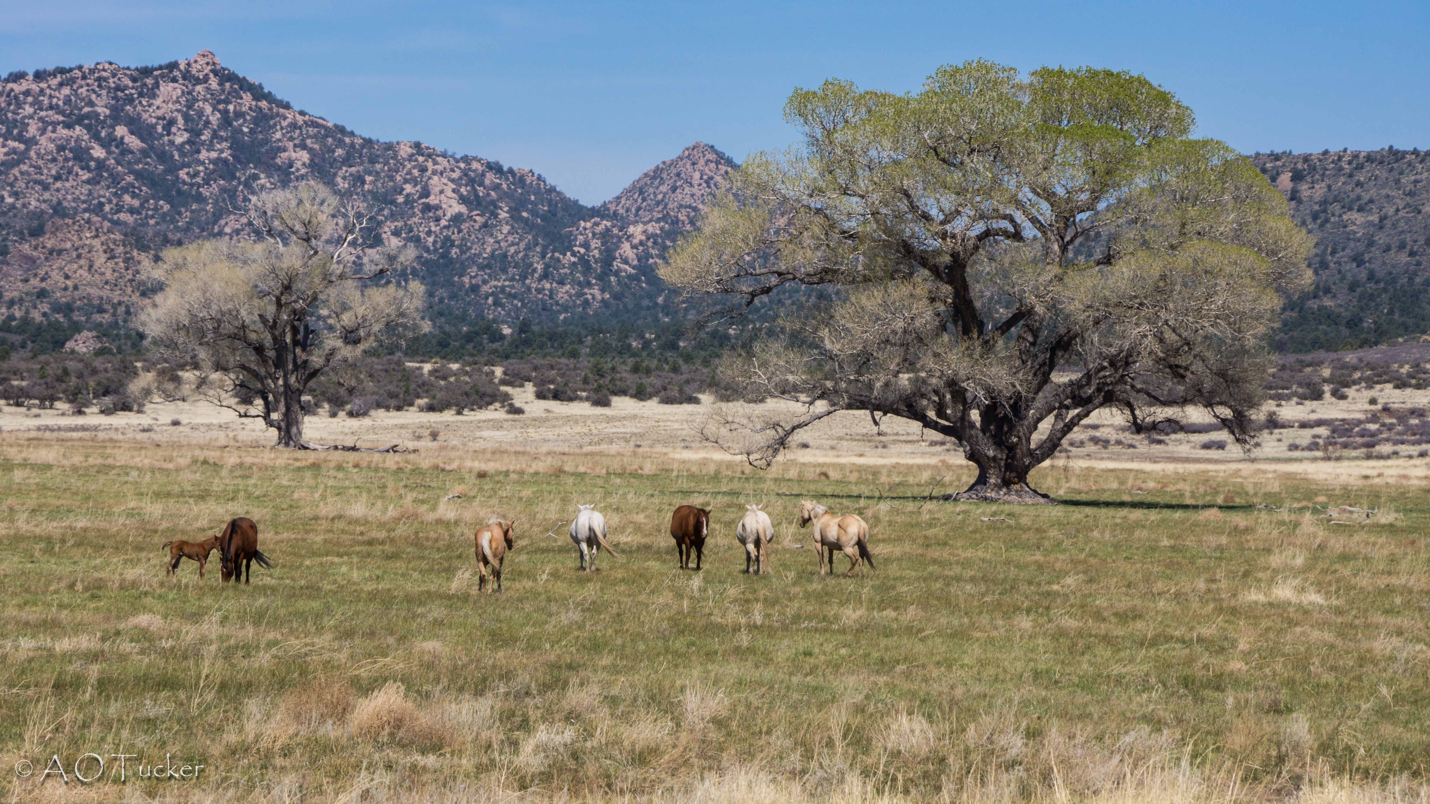
Peeples Valley Landscape
Looking Back!

Last Import-4
Last Import-7
Jerome and the ride to...Arizona
Jerome and the ride to...Arizona
Last Import-5
Jerome and the ride to...Arizona
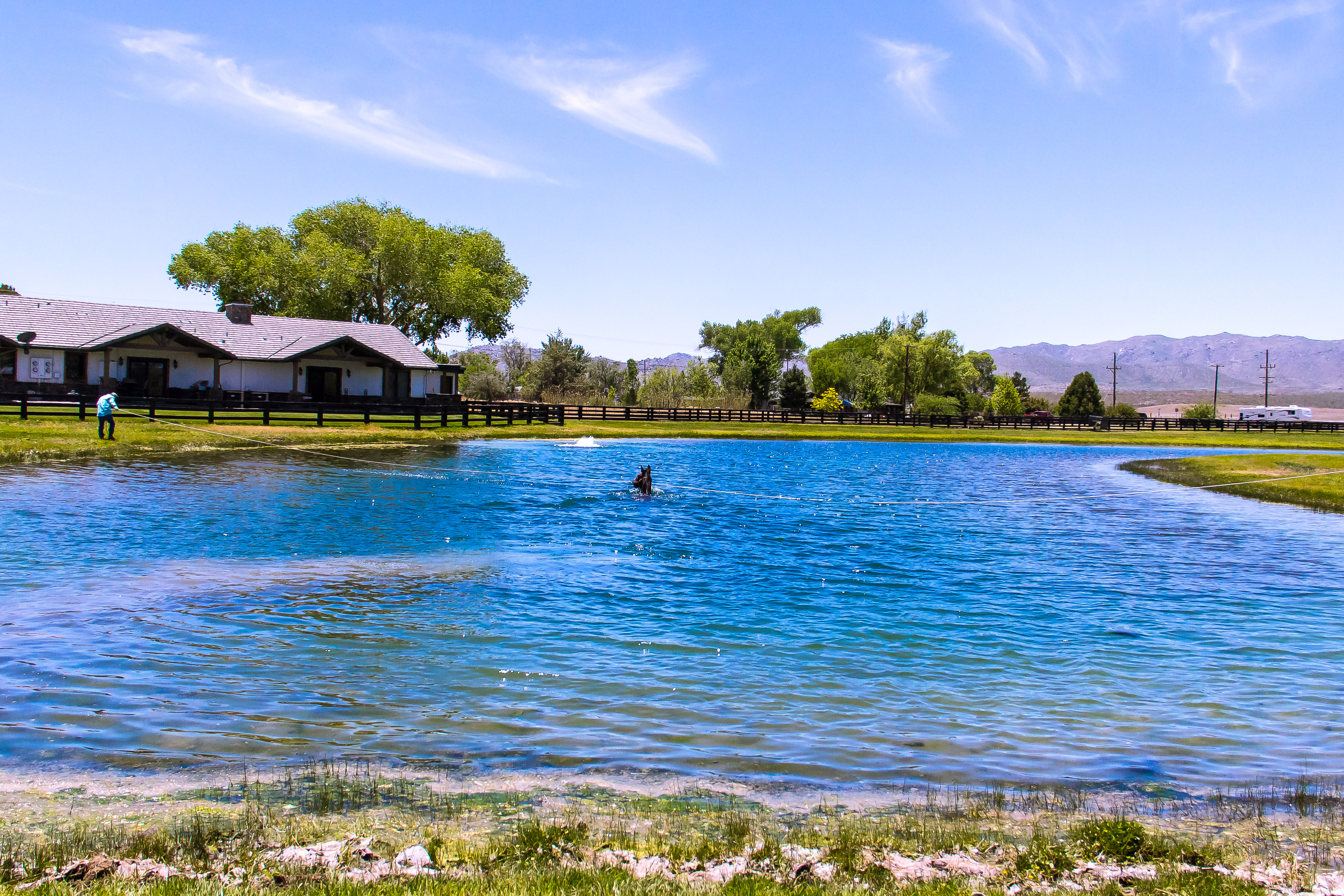
Southwest MINI Fest 2016 Run for Congress

Wilhoit sunset
Canon-0566-USA-2012-04-09
Canon-0564-USA-2012-04-09
Canon-0563-USA-2012-04-09
Canon-0561-USA-2012-04-09
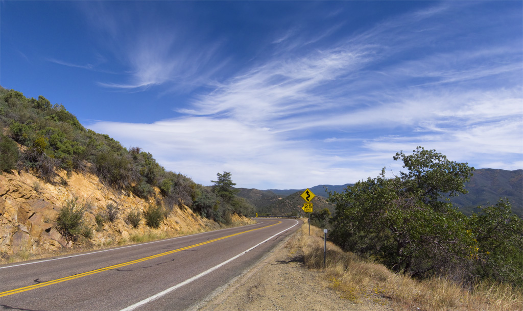
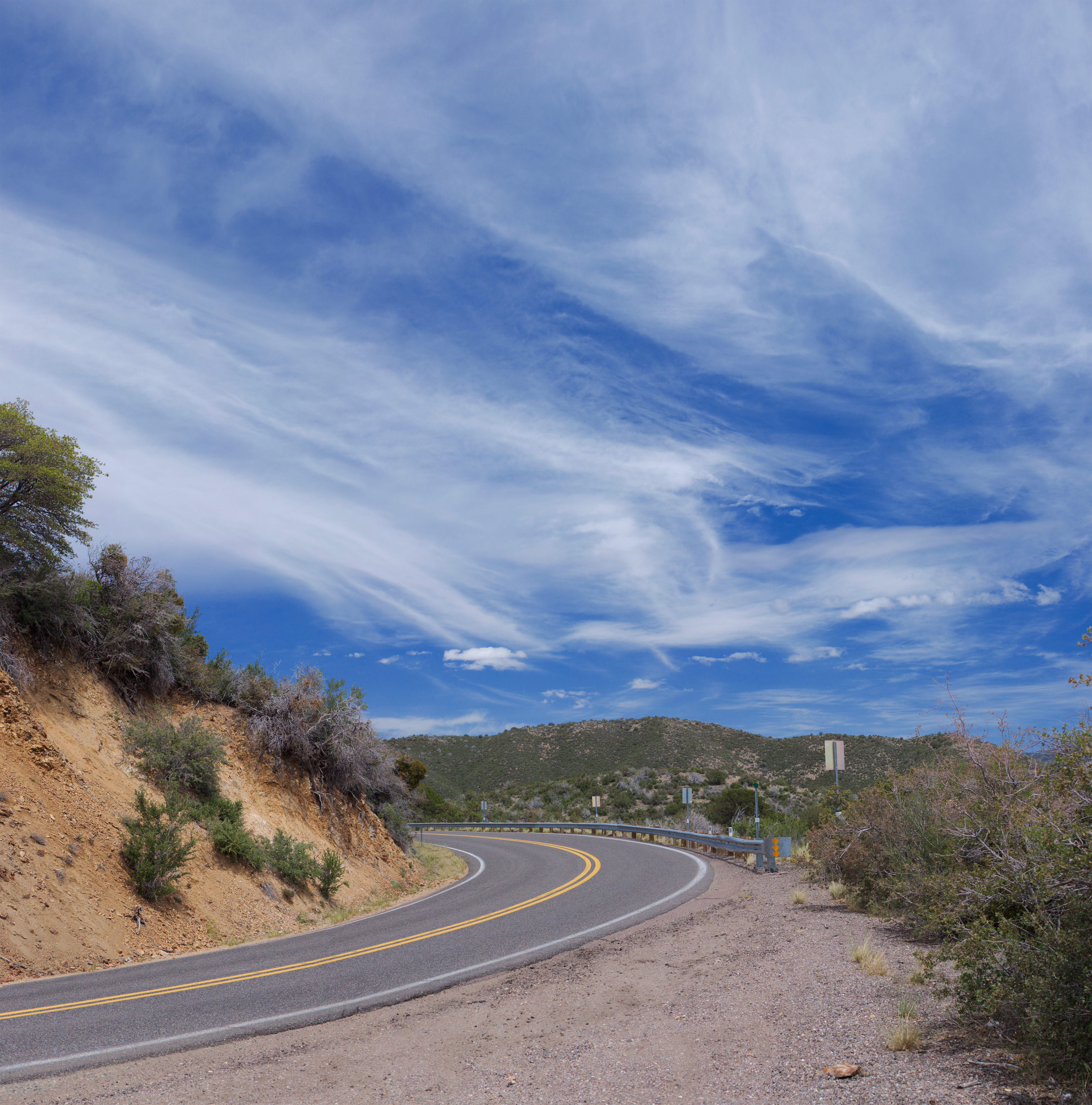
Curves Ahead
Topographic Map of Kirkland, AZ, USA
Find elevation by address:

Places near Kirkland, AZ, USA:
S Wagoner Rd, Kirkland, AZ, USA
9340 S Steven Trail
9080 S Trafalgar Dr
7230 Veda Ln
AZ-89, Kirkland, AZ, USA
Wilhoit
8240 W Flint Dr
7790 W Emerson Dr
7975 W Lowell Dr
State Highway 89
Sunshine Ln, Kirkland, AZ, USA
6811 Windmill Rd
Kirkland
8370 E Windmill Rd
Copper Basin Road
17792 Oak Dr
Model Creek Elementary School, Yarnell School District
Peeples Valley
17502 Pinon Ln
17542 Pinon Ln
Recent Searches:
- Elevation of 72-31 Metropolitan Ave, Middle Village, NY, USA
- Elevation of 76 Metropolitan Ave, Brooklyn, NY, USA
- Elevation of Alisal Rd, Solvang, CA, USA
- Elevation of Vista Blvd, Sparks, NV, USA
- Elevation of 15th Ave SE, St. Petersburg, FL, USA
- Elevation of Beall Road, Beall Rd, Florida, USA
- Elevation of Leguwa, Nepal
- Elevation of County Rd, Enterprise, AL, USA
- Elevation of Kolchuginsky District, Vladimir Oblast, Russia
- Elevation of Shustino, Vladimir Oblast, Russia