Elevation of Bull Elk Ridge, Prescott, AZ, USA
Location: United States > Arizona > Yavapai County > Skull Valley >
Longitude: -112.67720
Latitude: 34.5246124
Elevation: 1343m / 4406feet
Barometric Pressure: 86KPa
Elevation Map:
Satellite Map:
Related Photos:
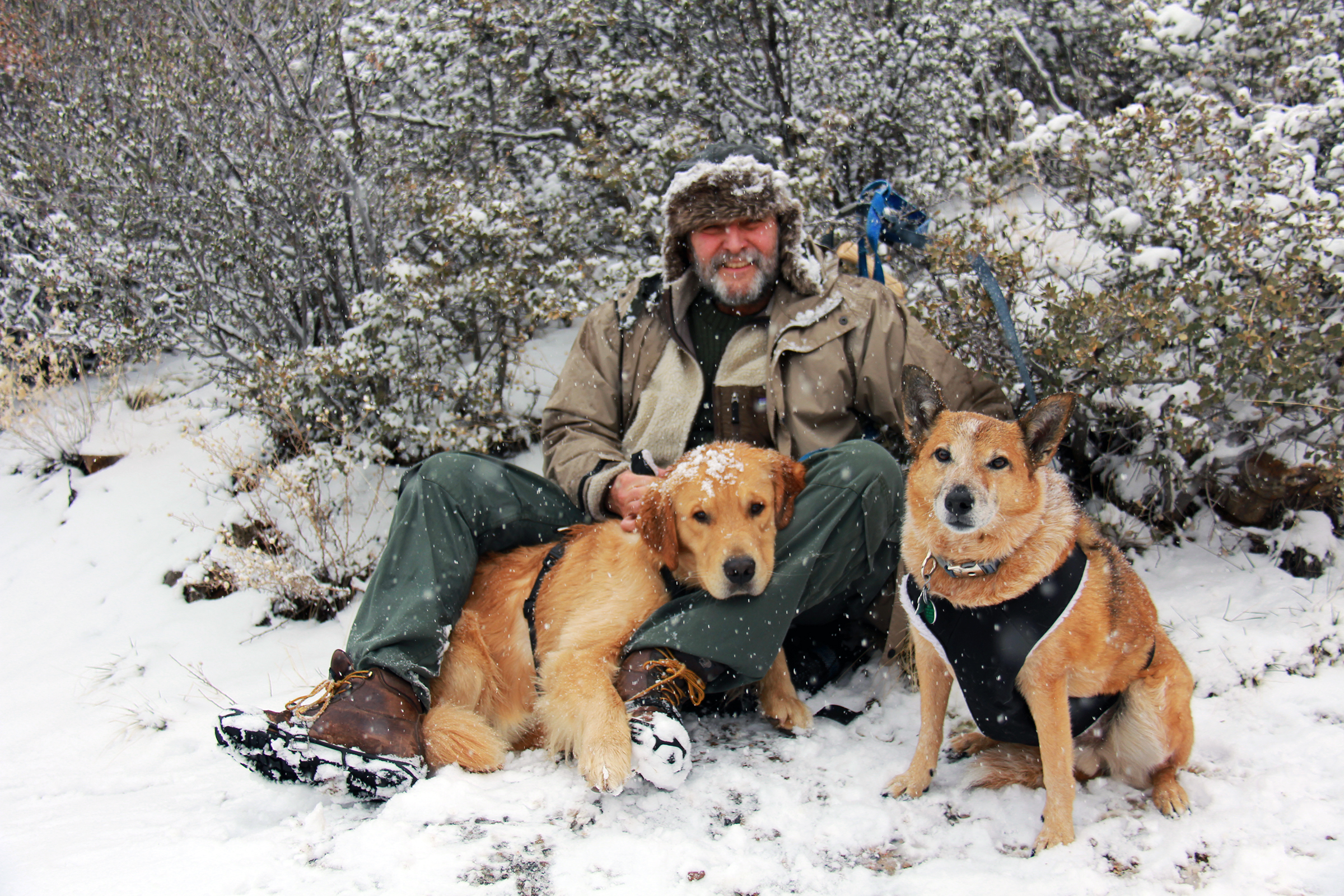
Thumb Butte at about 6,000' February 20, 2013
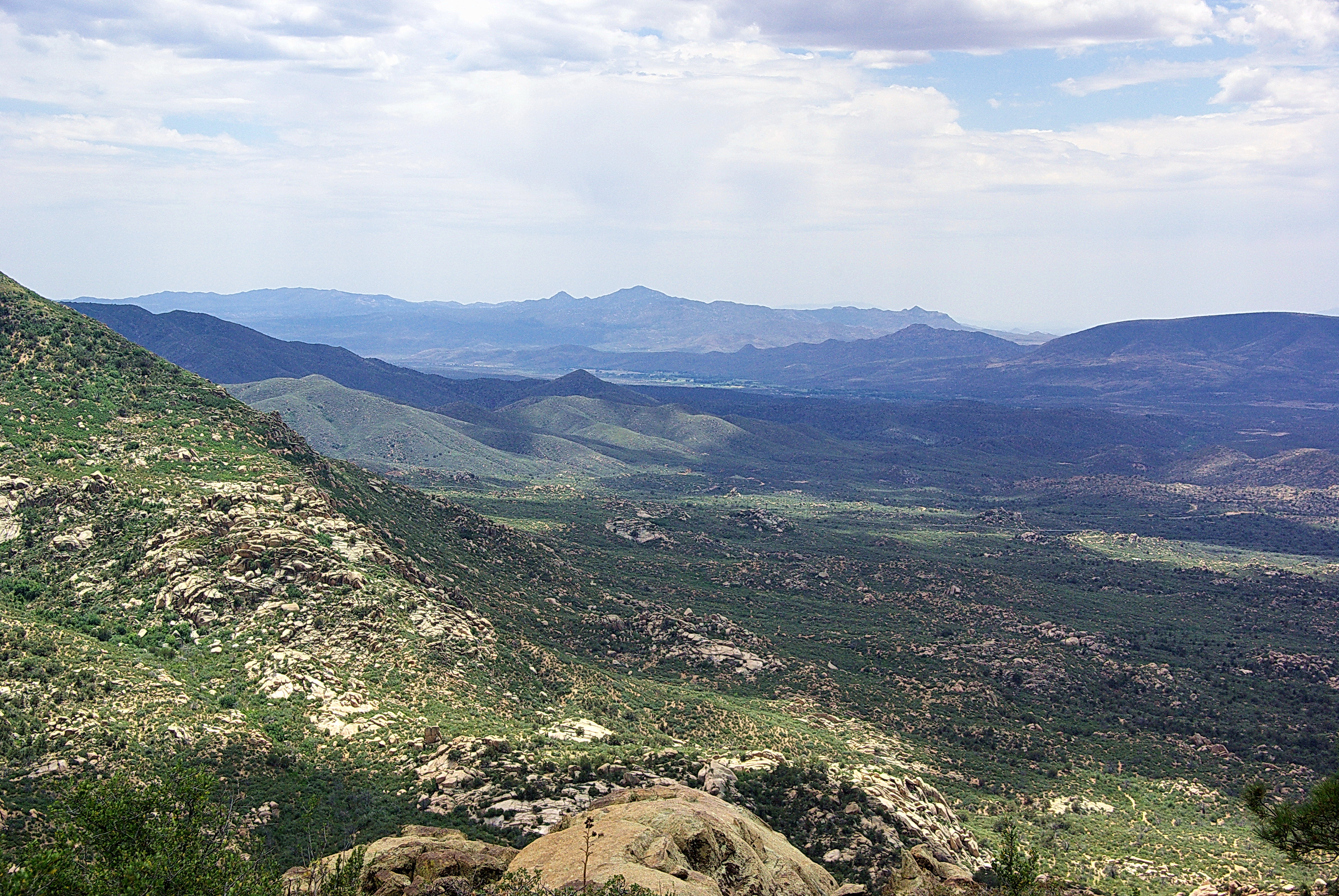
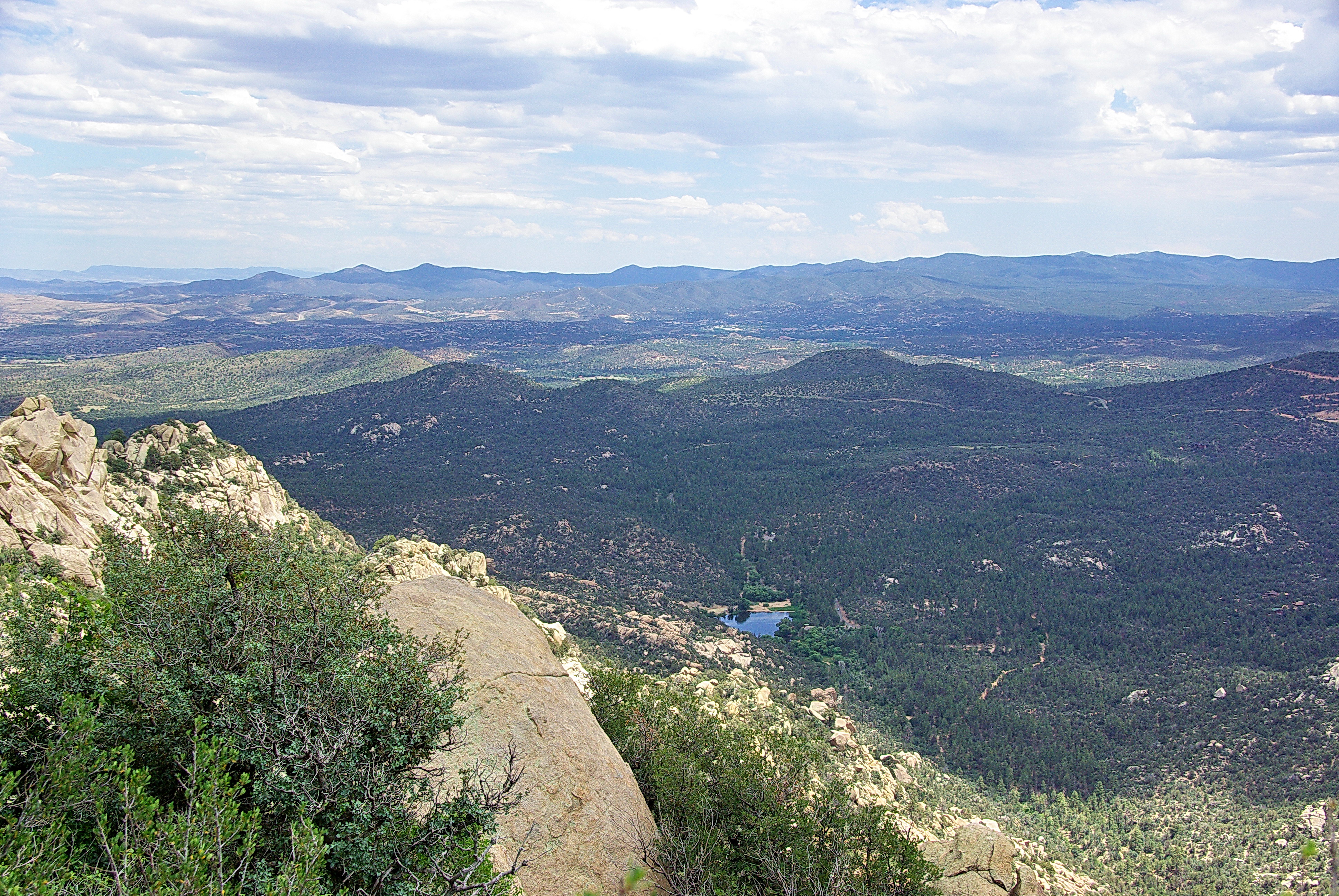
View to southwest - Granite Mountain - Prescott Arizona
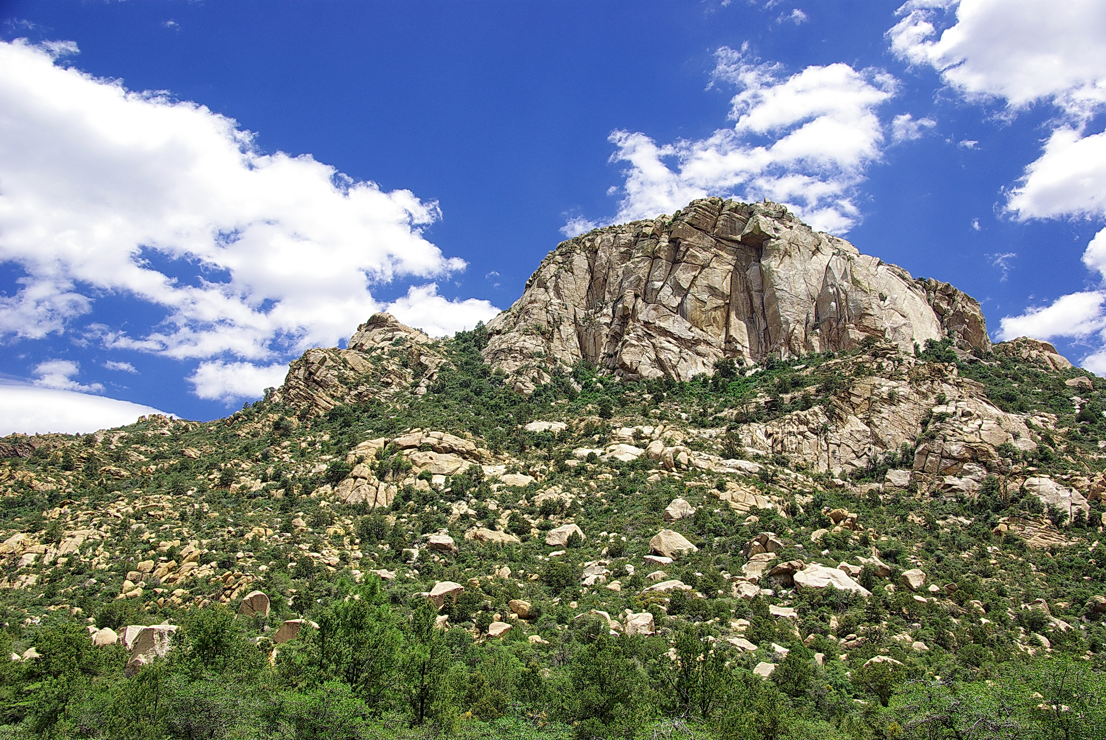
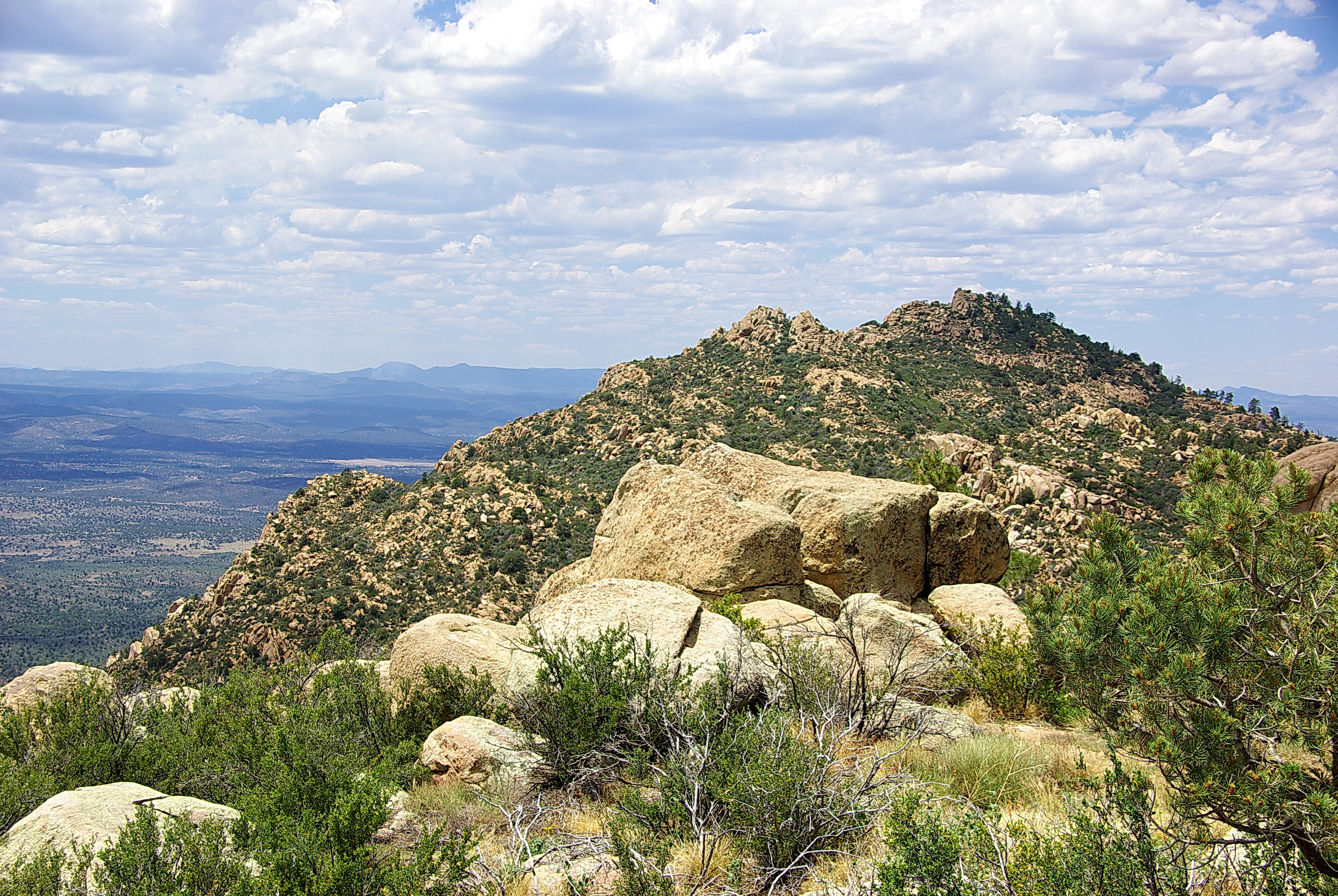
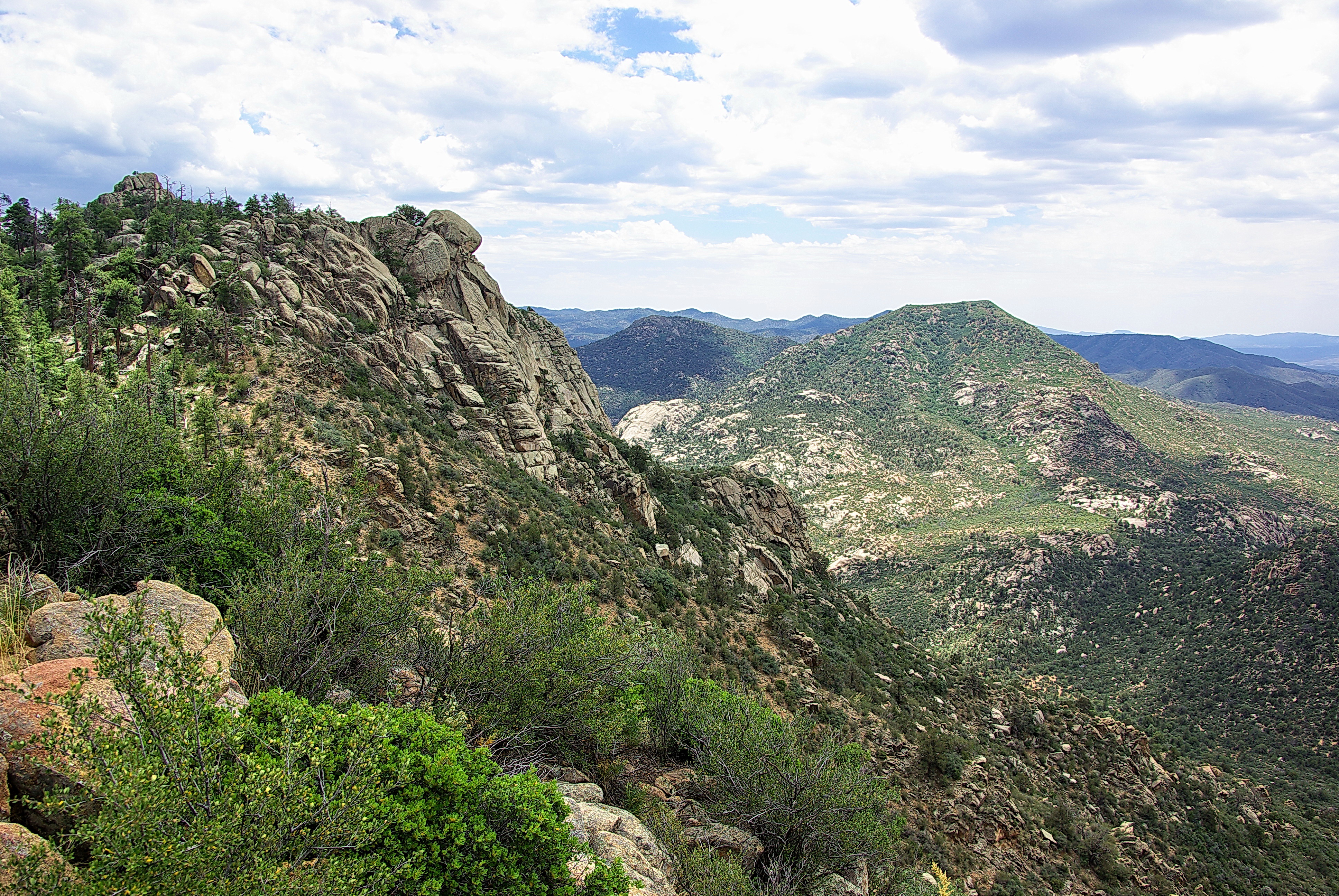
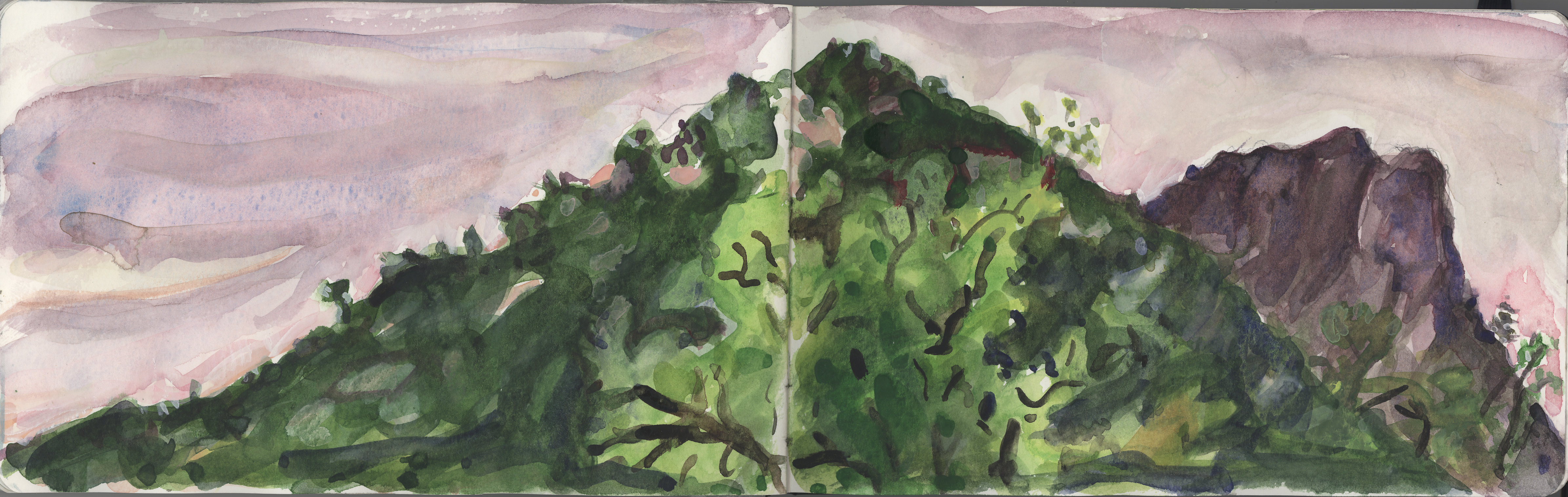
Granite Mountain - Prescott Arizona
Looking southeast from Vista Point - Granite Mountain - Prescott Arizona
View to west - Granite Mountain - Prescott Arizona
Looking northeast from Vista Point - Granite Mountain - Prescott Arizona
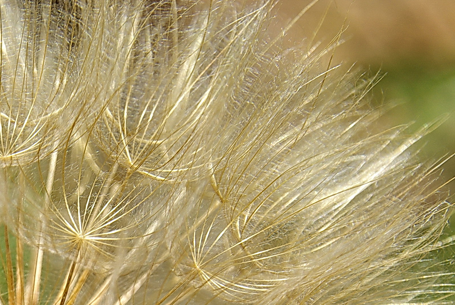
Going to seed - Granite Mountain - Prescott Arizona
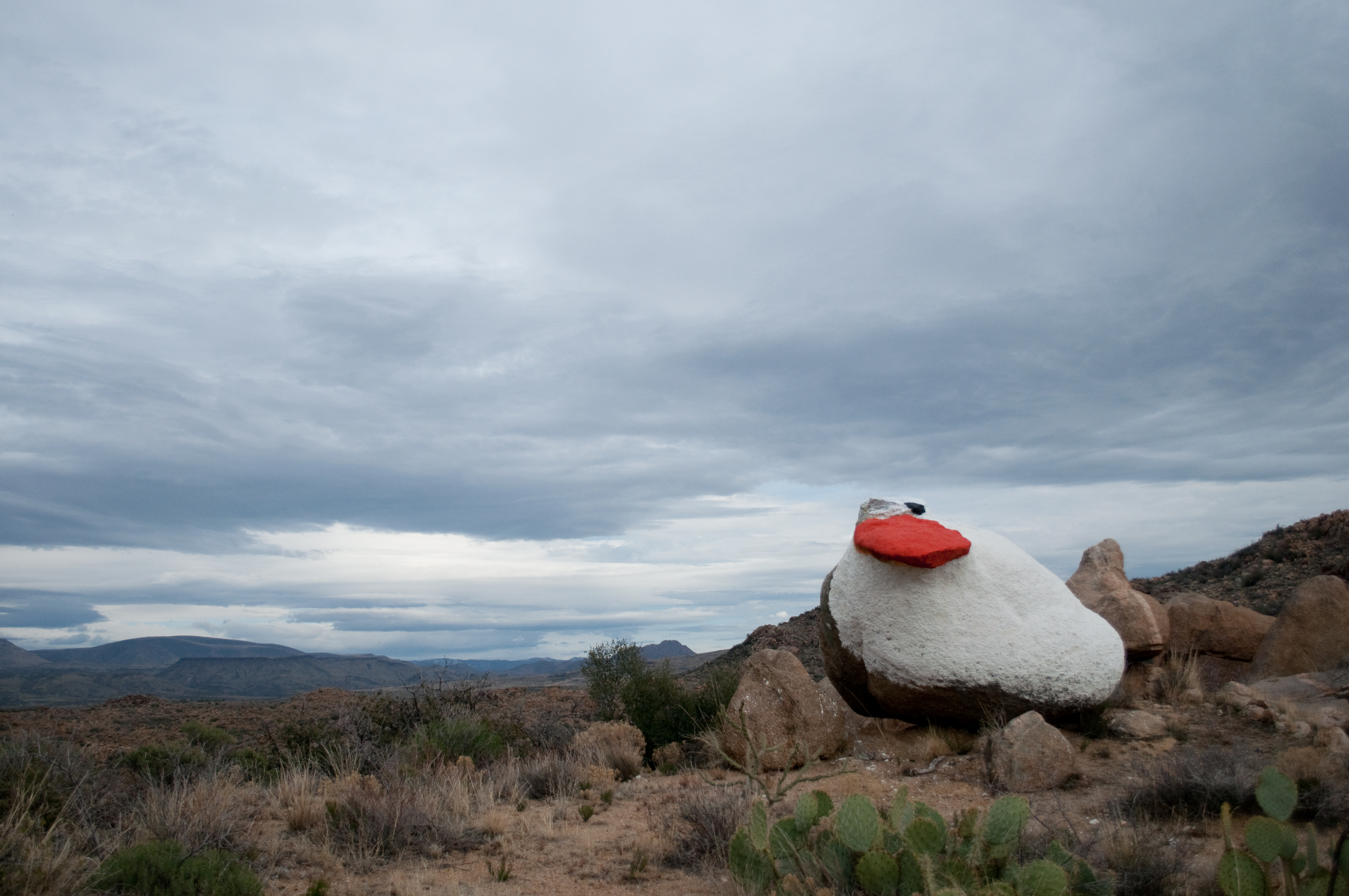
Painted duck
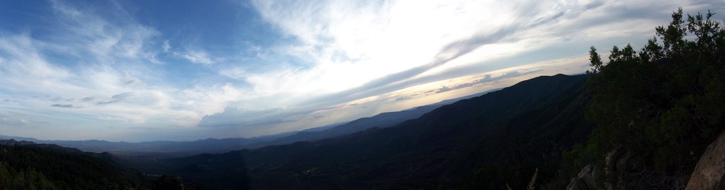
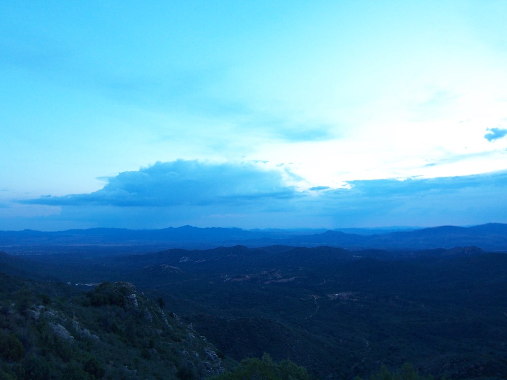
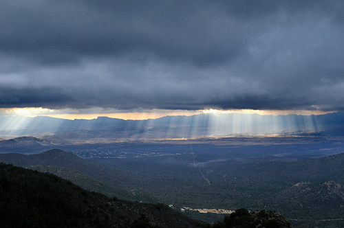
view frm prieta panorama
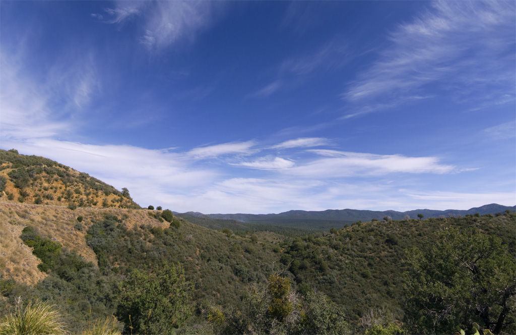
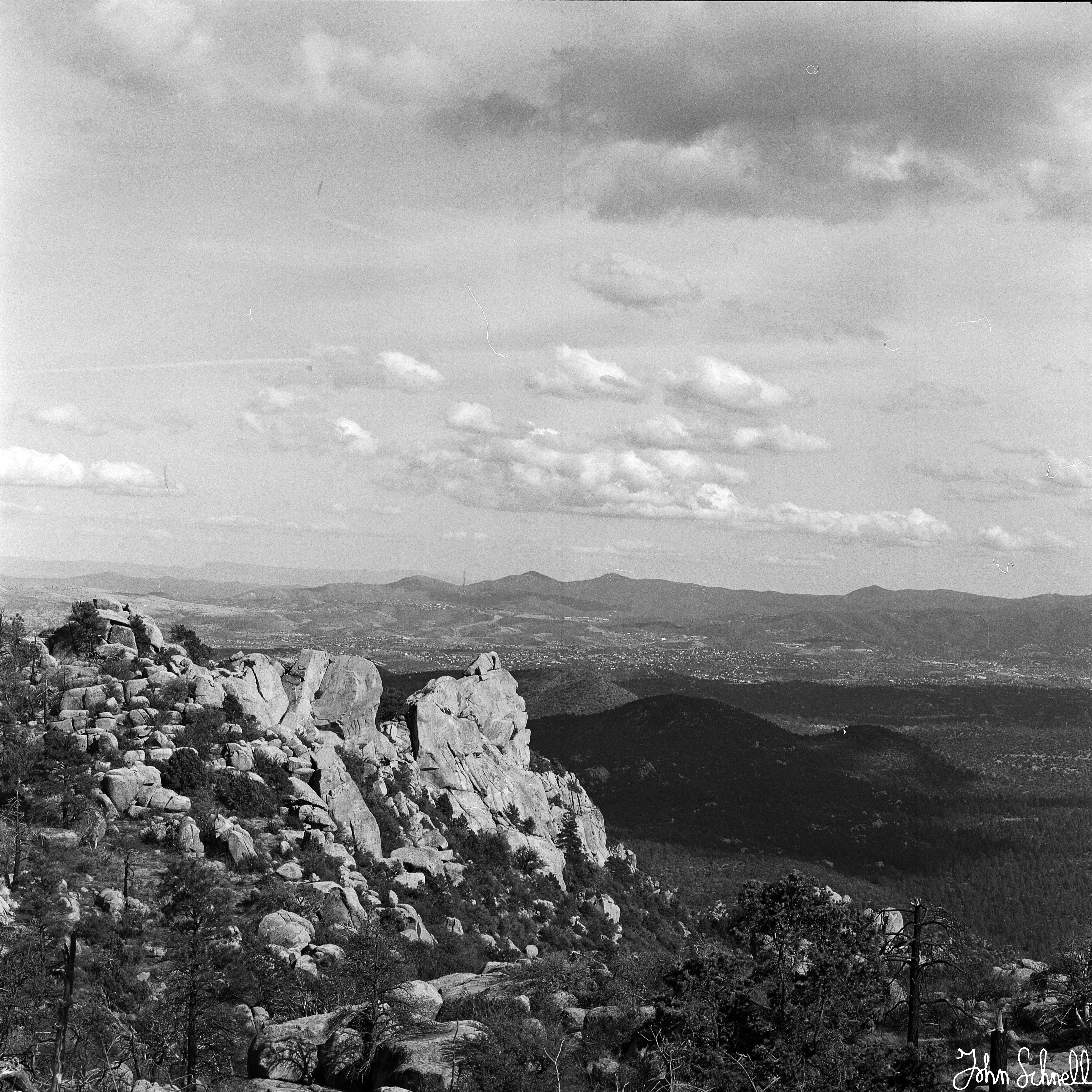
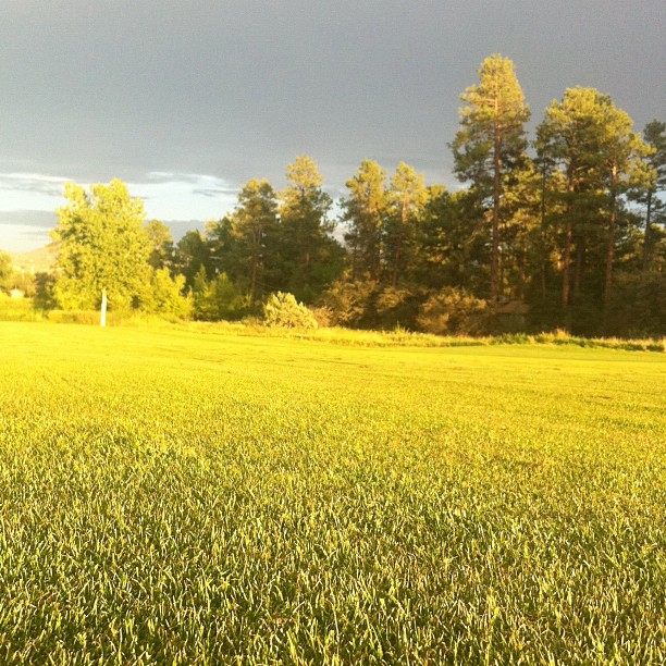
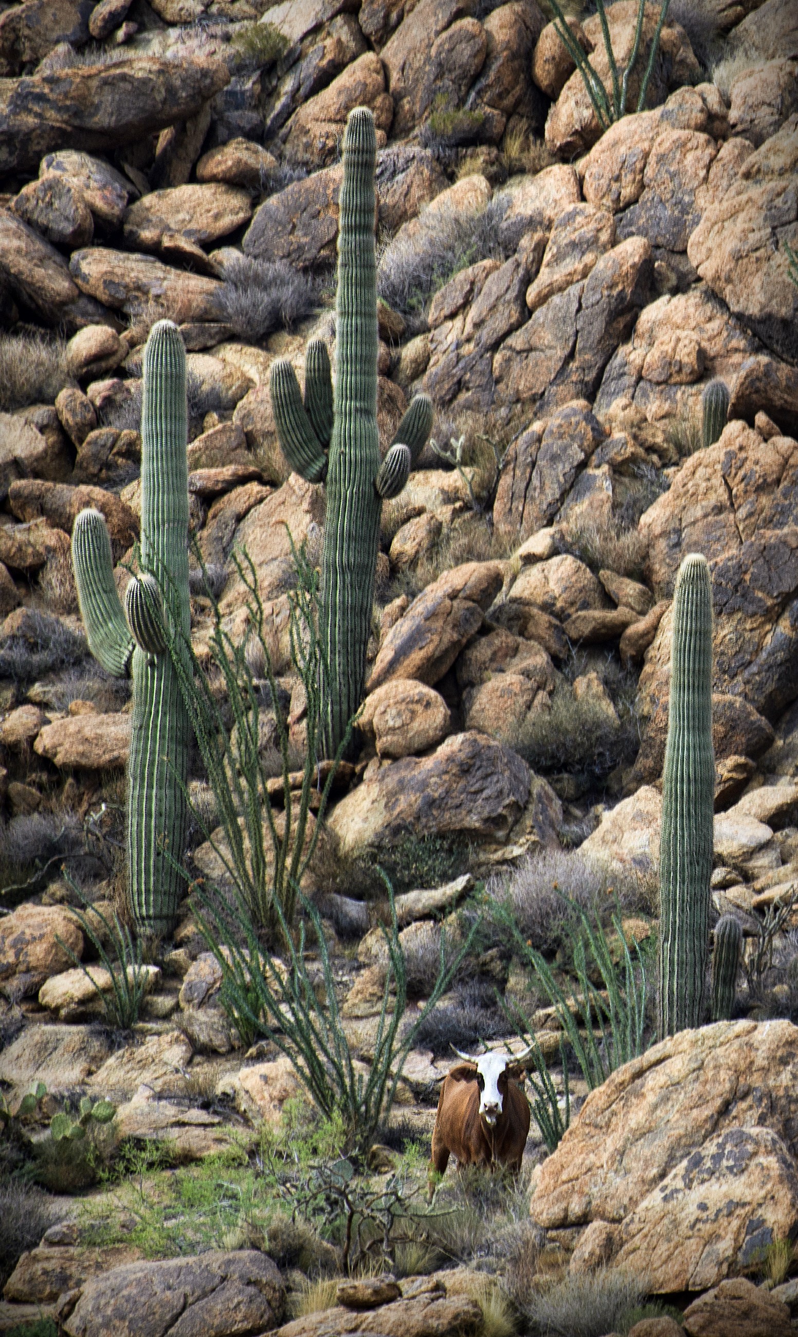
Prescott National Forest
view from prieta
view frm prieta
view from prieta

view from prieta
View is awesome here!
Prescott, Arizona
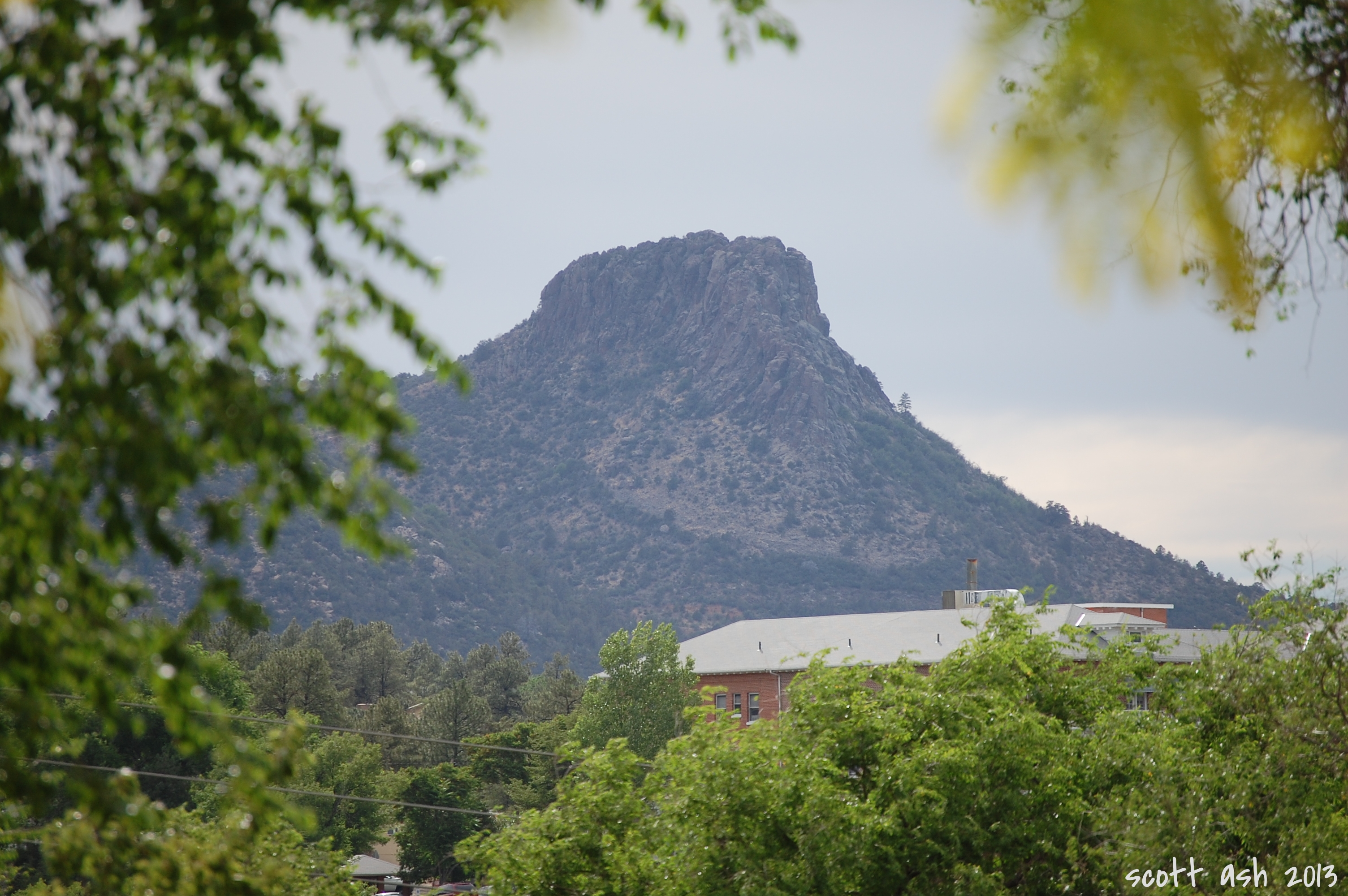
Thumb Butte
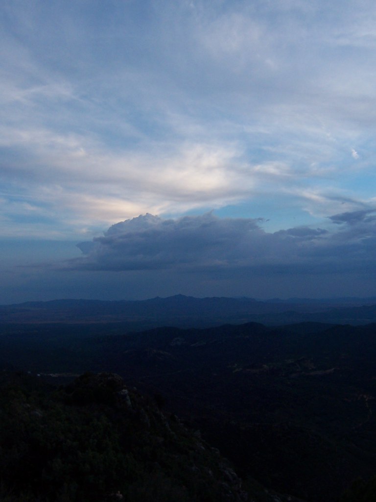
view from prieta
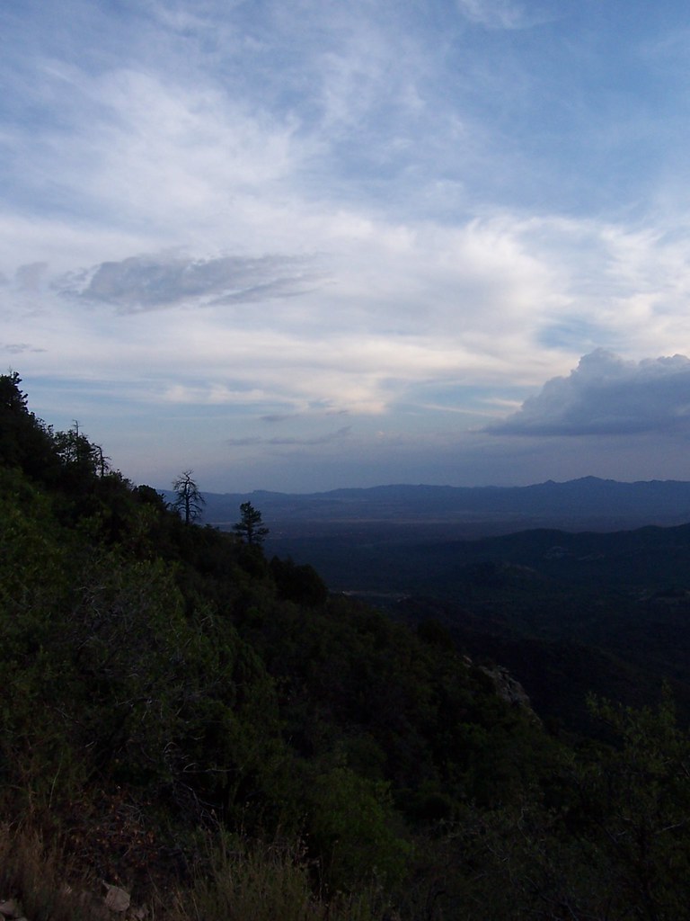
view from prieta
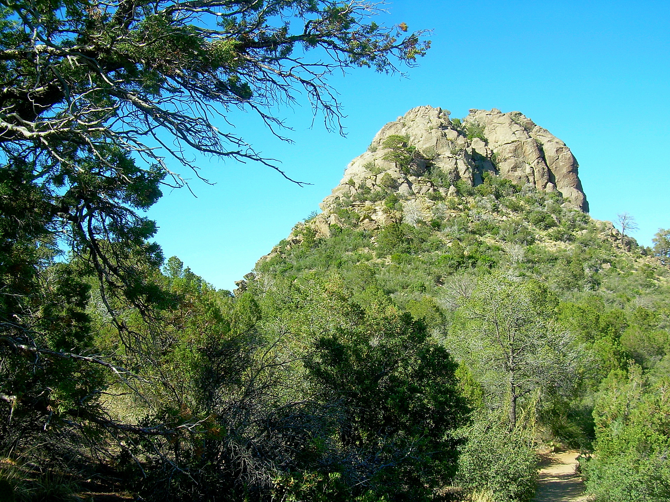
Thumb Butte Trail: North View
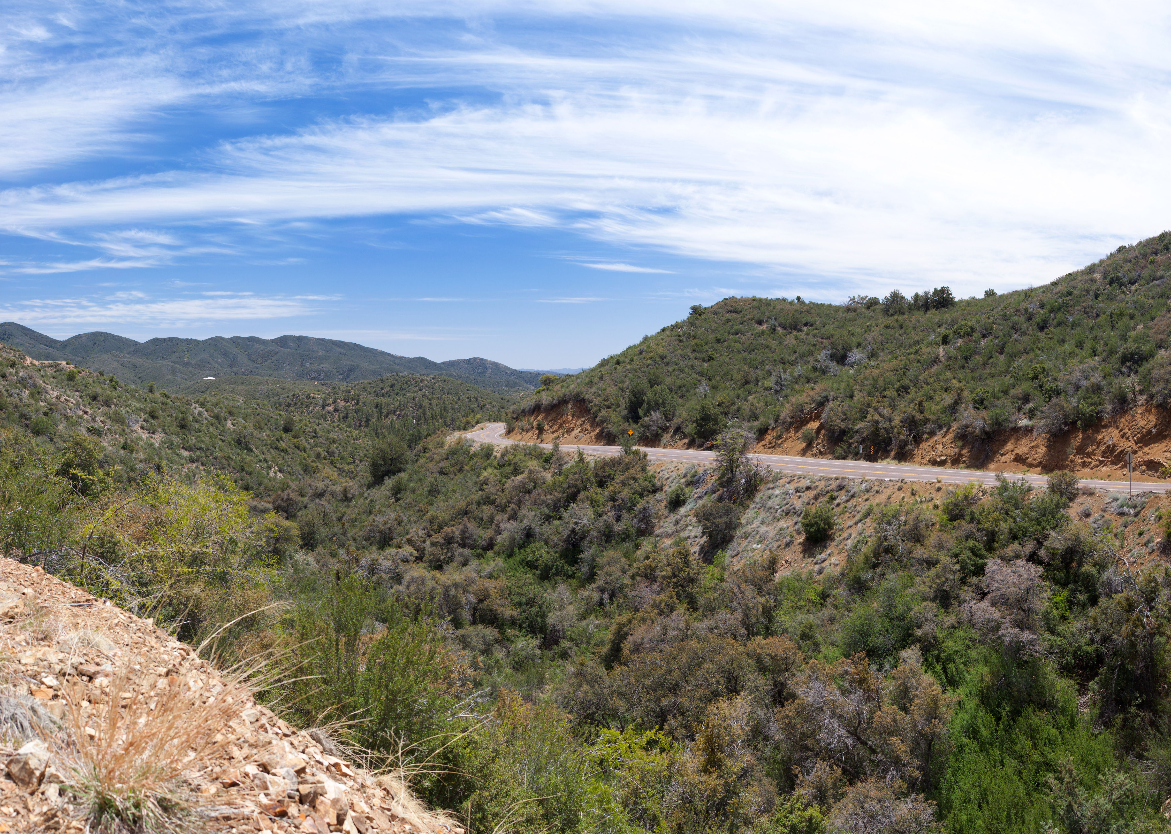
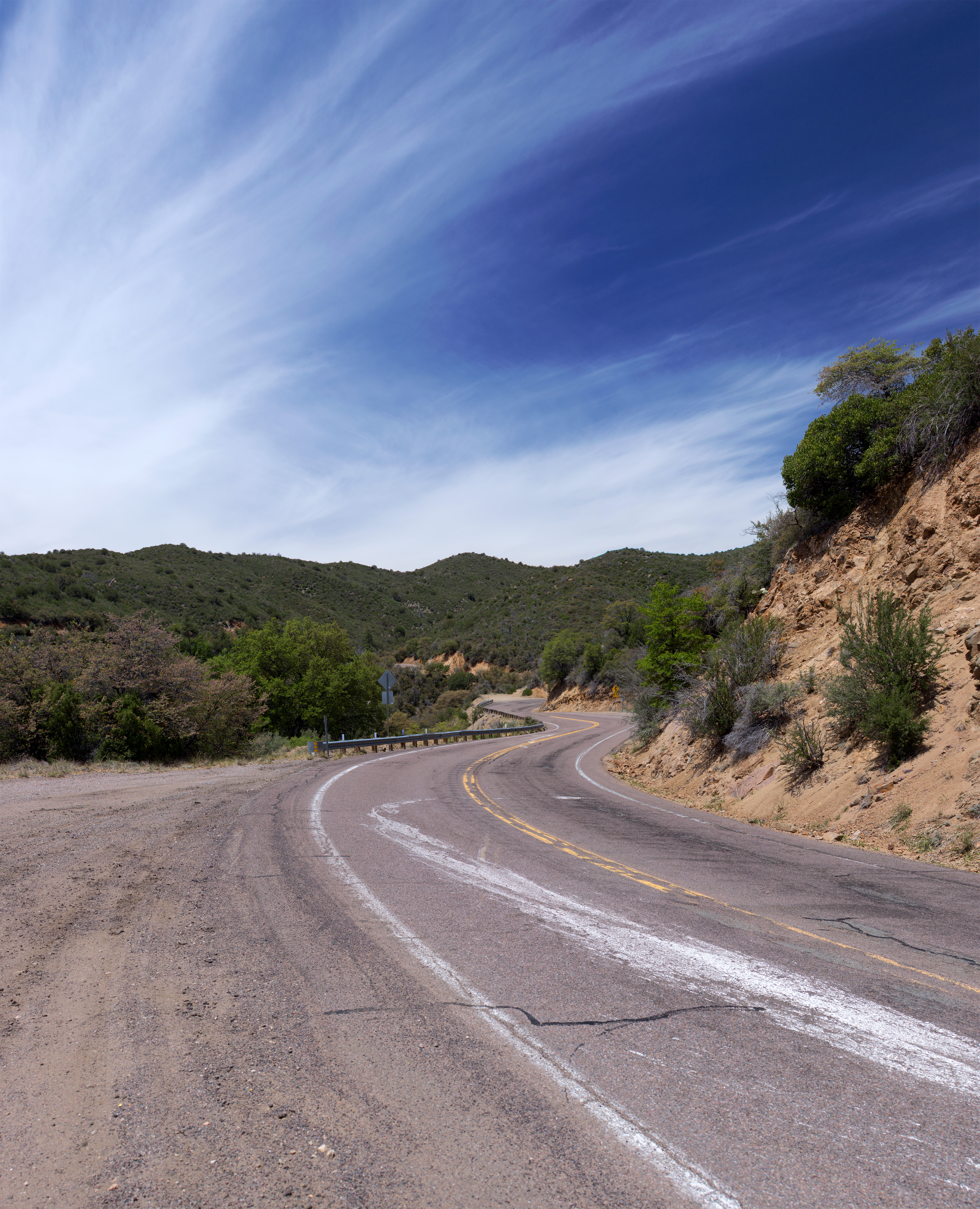
Arizona SR 89 14
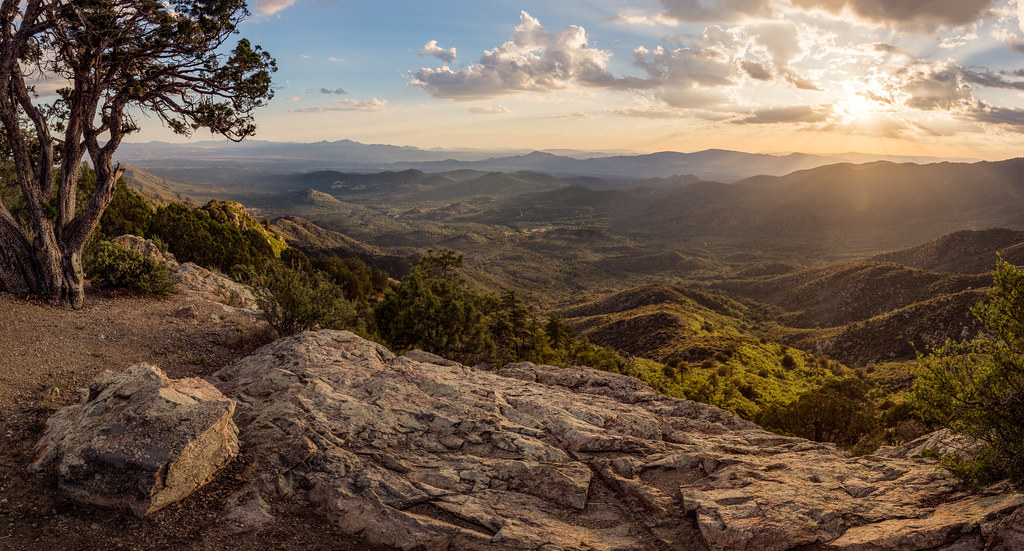
Beyond Breathtaking...
Prescott-7850-HDR-Pano
Backside of #thumbbutt and sf peaks in the distance. #prescott #prescottnationalforest
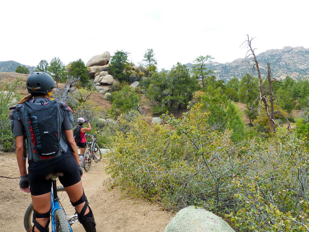
Trail 264 Hike
MPW_1759-Cropped (Custom)
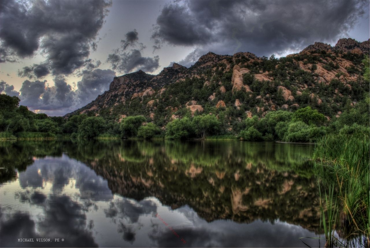
Grey Sunset on Granite Lake in Prescott
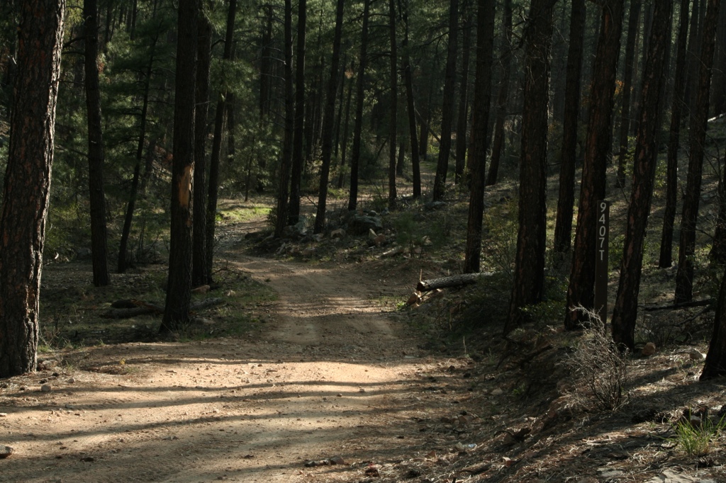
Trail 264 Hike
Wonderland <3
there be rain coming

Climber on the Rock

Yavapai County 04-23-2010
Thumb Butte Pink Sky

Yavapai County 04-23-2010

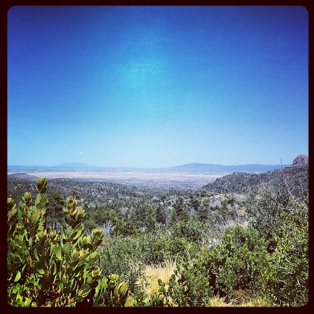
Wide Open Spaces

Arizona SR 89 4
Arizona SR 89 6
Topographic Map of Bull Elk Ridge, Prescott, AZ, USA
Find elevation by address:

Places near Bull Elk Ridge, Prescott, AZ, USA:
11975 W Bull Elk Ridge
2450 Iron Springs Rd
2565 Iron Springs Rd
8235 Co Rd 10
Skull Valley
3550 Iron Springs Rd
Copper Basin Road
788 Westview Dr
1044 Skyline Dr
Brady Rd, Prescott, AZ, USA
Z3 Ranch Rd, Skull Valley, AZ, USA
5505 W Tombstone Trail
5521 W Hillside Cove
5170 W Smoki Dr
5055 W Lonesome Hawk Dr
Thumb Butte Road
5101 Iron Springs Rd
166 Cascade
166 Cascade
3707 W Pine Lakes Dr
Recent Searches:
- Elevation of Luther Road, Luther Rd, Auburn, CA, USA
- Elevation of Unnamed Road, Respublika Severnaya Osetiya — Alaniya, Russia
- Elevation of Verkhny Fiagdon, North Ossetia–Alania Republic, Russia
- Elevation of F. Viola Hiway, San Rafael, Bulacan, Philippines
- Elevation of Herbage Dr, Gulfport, MS, USA
- Elevation of Lilac Cir, Haldimand, ON N3W 2G9, Canada
- Elevation of Harrod Branch Road, Harrod Branch Rd, Kentucky, USA
- Elevation of Wyndham Grand Barbados Sam Lords Castle All Inclusive Resort, End of Belair Road, Long Bay, Bridgetown Barbados
- Elevation of Iga Trl, Maggie Valley, NC, USA
- Elevation of N Co Rd 31D, Loveland, CO, USA