Elevation of S Pierre St, Pierre, SD, USA
Location: United States > South Dakota > Hughes County > Pierre >
Longitude: -100.35423
Latitude: 44.366601
Elevation: 437m / 1434feet
Barometric Pressure: 96KPa
Elevation Map:
Satellite Map:
Related Photos:

Day 43: South Dakota

South Dakota State Capitol, Pierre (S.D.), 24 October 2017

South Dakota State Capitol, Pierre (S.D.), 24 October 2017

South Dakota State Capitol, Pierre (S.D.), 24 October 2017

110608-A-XA675-134

Missouri Bluffs

La Verendrye Site- Fort Pierre SD (1)

La Verendrye Site- Fort Pierre SD (5)

La Verendrye Site- Fort Pierre SD (4)

South Dakota State Capitol

House Rules

Front Door

View from the front doors. So pretty.

Missouri River, Fort Pierre (S.D.), 20 July 2010

Missouri River, Fort Pierre (S.D.), 20 July 2010

Night view of SD Capitol

View to Capitol Lake

Fire in the Sky

Farm Island Recreation Area, Pierre, SD

RCPE 6437 - M-HURC - Pierre, SD

Teton SD Monday June 15th 1998 1050MDT

Hipple Lake, Farm Island Rec Area, Pierre, SD (2)

"East river"....

Missouri River at Fort Pierre - June 4, 2011

South Dakota Mentor Series

South Dakota Mentor Series

Missouri River

South Dakota Mentor Series

ICE 6412 Ft. Pierre, SD
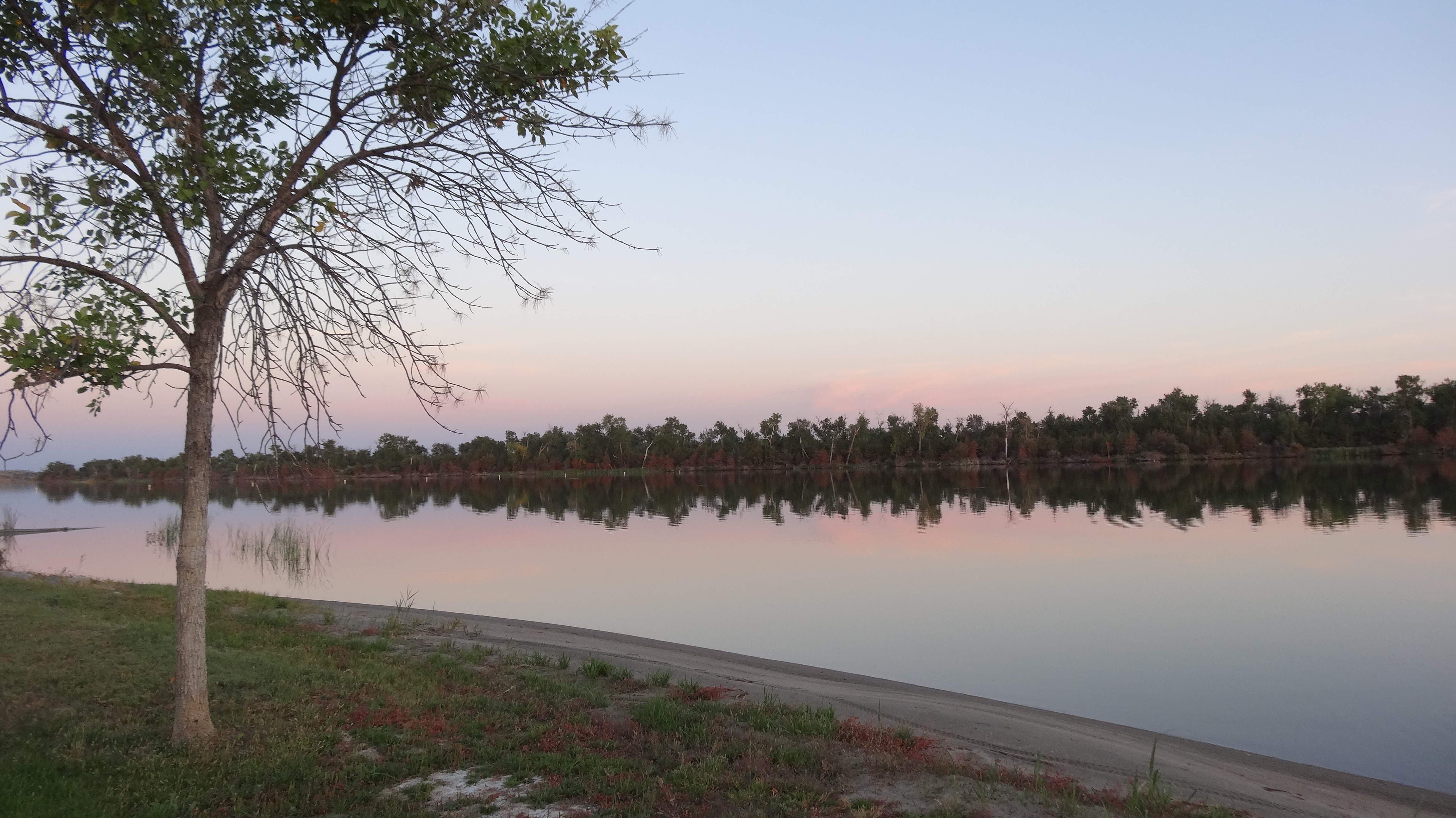
Hipple Lake, Farm Island Rec Area, Pierre, SD

South Dakota Mentor Series

Pierre South Dakota, Hughes County SD

South Dakota Mentor Series

Pierre, South Dakota

Pierre (South Dakota)

State Capitol of South Dakota
Topographic Map of S Pierre St, Pierre, SD, USA
Find elevation by address:

Places near S Pierre St, Pierre, SD, USA:
Pierre
Hustan Ave, Fort Pierre, SD, USA
Missouri River
603 N Jackson Ave
516 Deadwood St
516 Deadwood St
516 Deadwood St
516 Deadwood St
516 Deadwood St
Fort Pierre
1600 E Dakota Ave
Rousseau Avenue
1730 N Garfield Ave
State Hwy, Fort Pierre, SD, USA
State Hwy, Fort Pierre, SD, USA
South Stanley
28181 182nd St
Main St, Onida, SD, USA
Stanley County
Onida
Recent Searches:
- Elevation of Congressional Dr, Stevensville, MD, USA
- Elevation of Bellview Rd, McLean, VA, USA
- Elevation of Stage Island Rd, Chatham, MA, USA
- Elevation of Shibuya Scramble Crossing, 21 Udagawacho, Shibuya City, Tokyo -, Japan
- Elevation of Jadagoniai, Kaunas District Municipality, Lithuania
- Elevation of Pagonija rock, Kranto 7-oji g. 8"N, Kaunas, Lithuania
- Elevation of Co Rd 87, Jamestown, CO, USA
- Elevation of Tenjo, Cundinamarca, Colombia
- Elevation of Côte-des-Neiges, Montreal, QC H4A 3J6, Canada
- Elevation of Bobcat Dr, Helena, MT, USA