Elevation of N Garfield Ave, Pierre, SD, USA
Location: United States > South Dakota > Hughes County > Pierre >
Longitude: -100.31155
Latitude: 44.3803258
Elevation: 542m / 1778feet
Barometric Pressure: 95KPa
Elevation Map:
Satellite Map:
Related Photos:
Night view of SD Capitol
Front Door
View to Capitol Lake
110608-A-XA675-134

View from the front doors. So pretty.
La Verendrye Site- Fort Pierre SD (1)
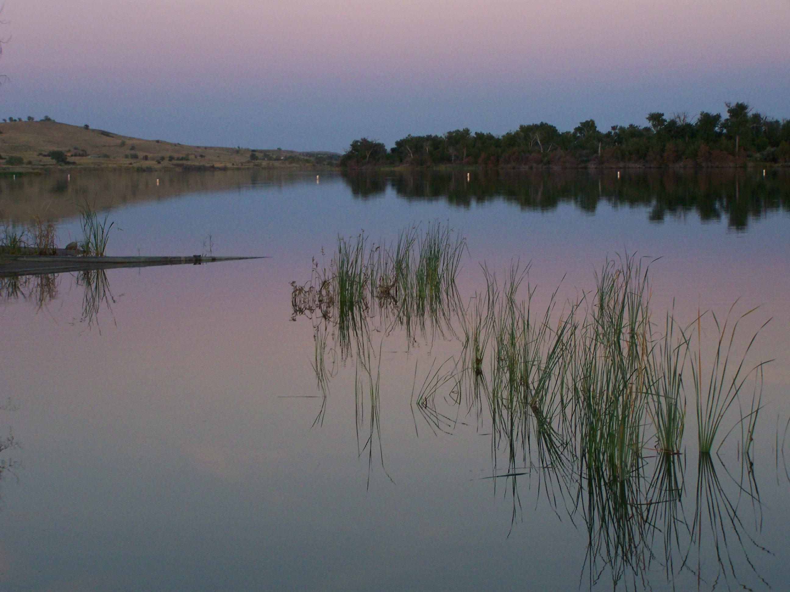
Missouri River, Fort Pierre (S.D.), 20 July 2010
South Dakota State Capitol, Pierre (S.D.), 24 October 2017
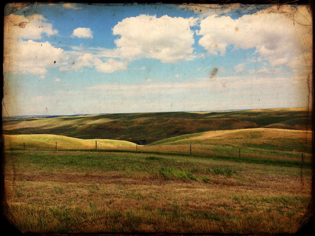
Missouri Bluffs
South Dakota State Capitol, Pierre (S.D.), 24 October 2017
House Rules
South Dakota State Capitol, Pierre (S.D.), 24 October 2017
Missouri River at Fort Pierre - June 4, 2011
Pierre, South Dakota
Missouri River
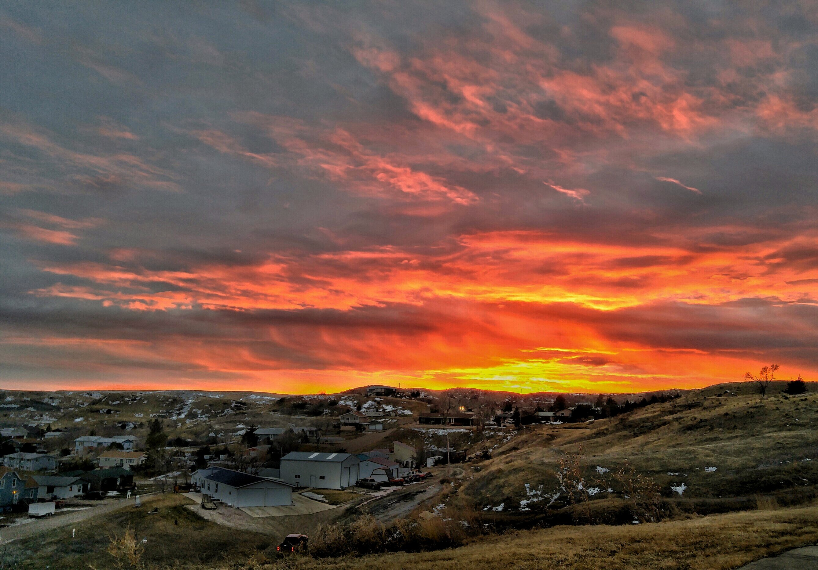
Fire in the Sky
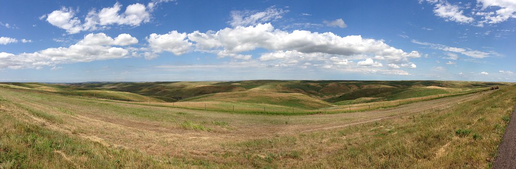
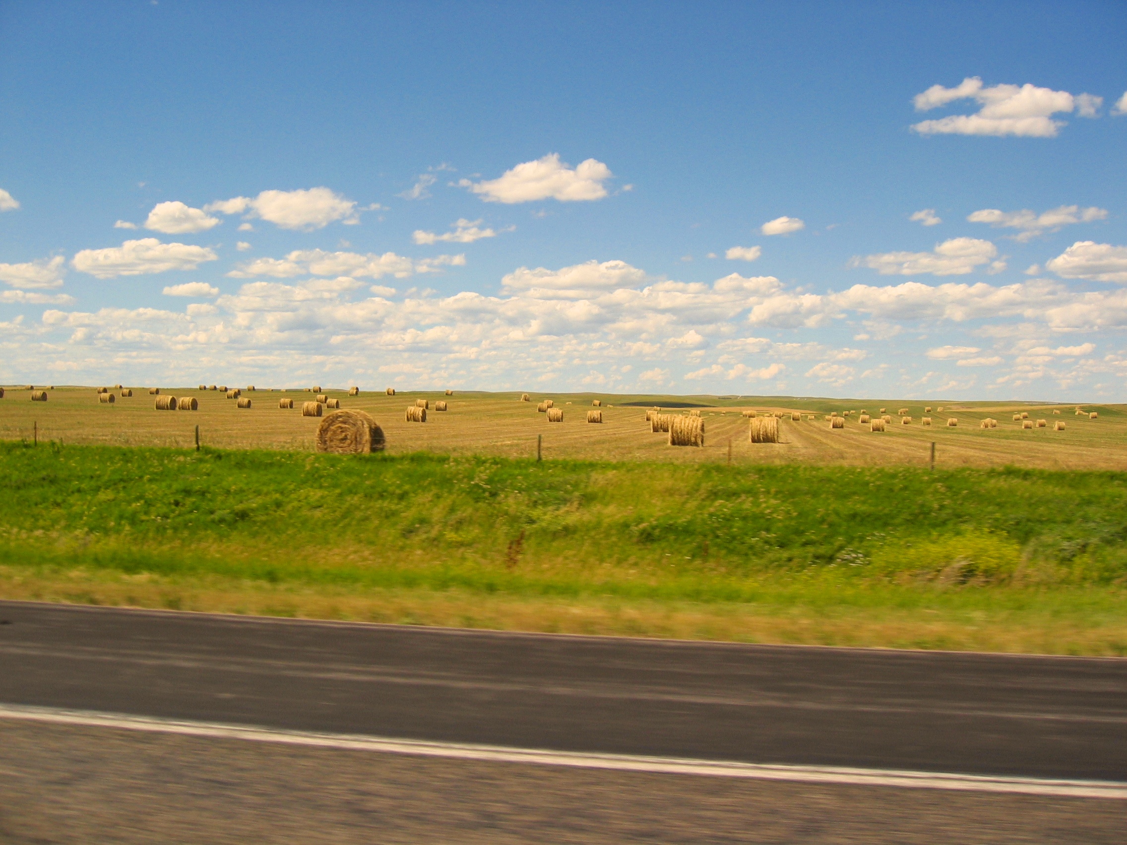
SD prairie with filter
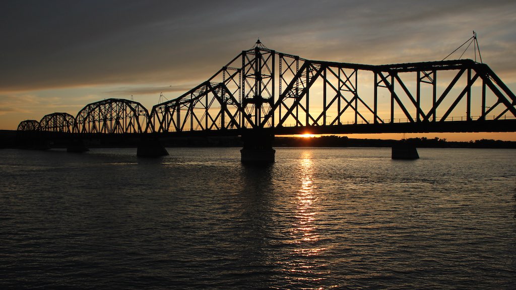
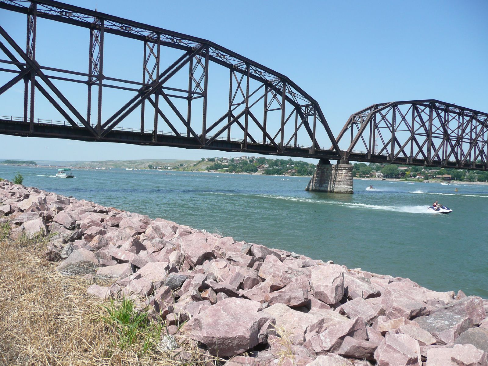
Chicago & Northern Rail Bridge crosses Missouri River @ Pierre SD 3
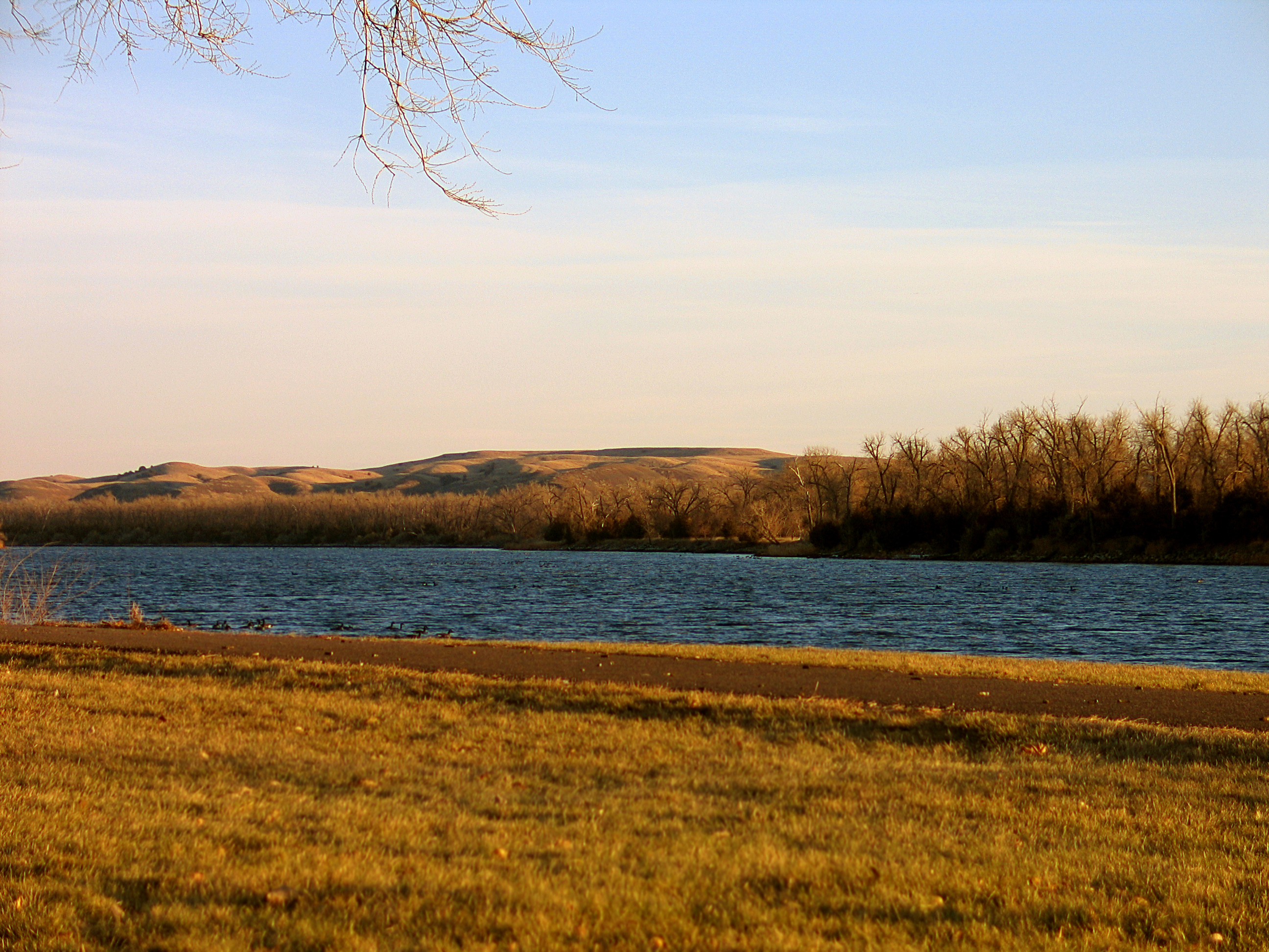
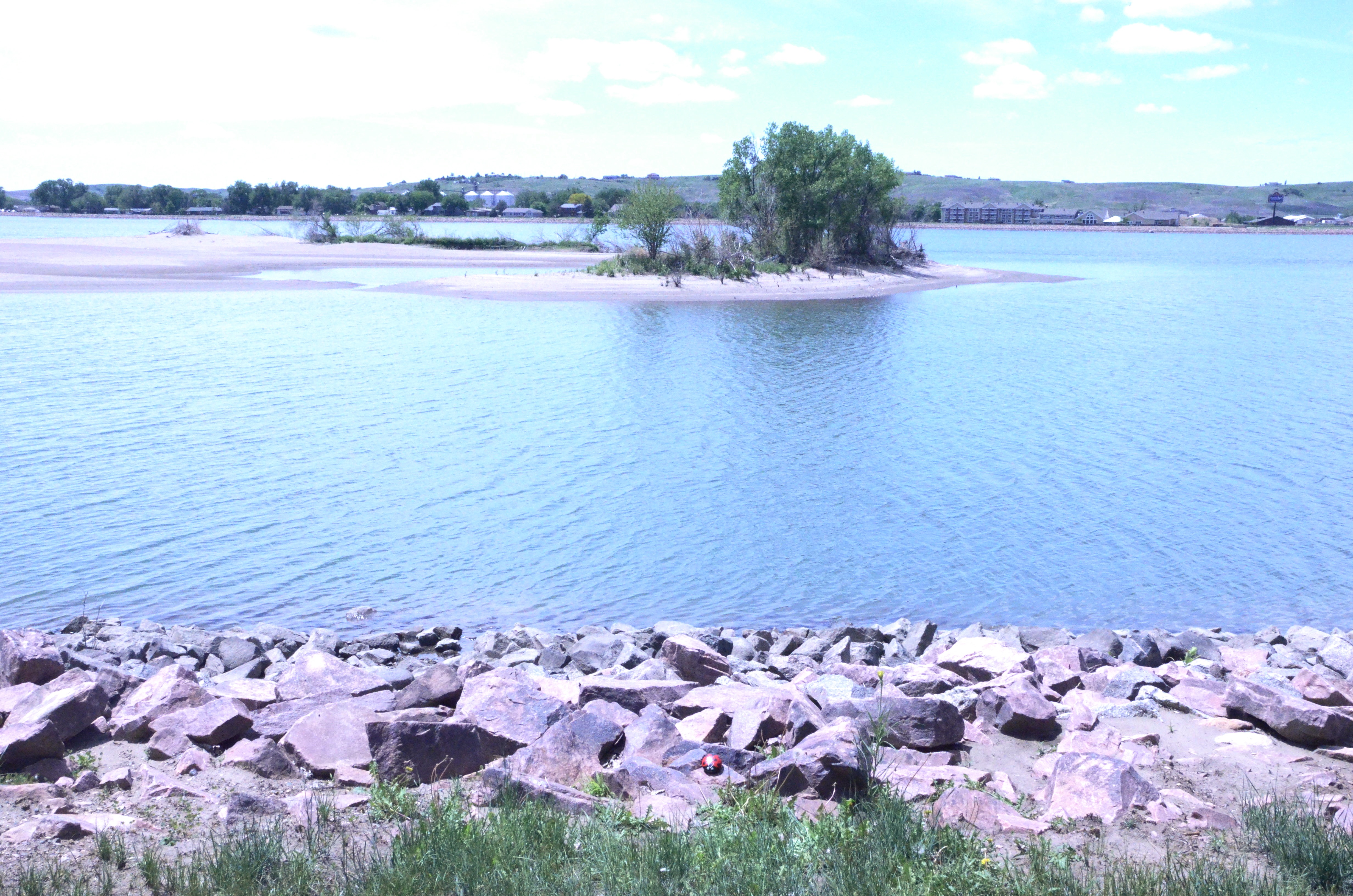
Missouri River- Farm Island Recreation Area- Hughes County SD (3)
StormChasing 347
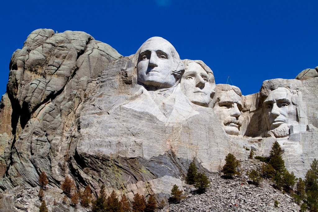
South Dakota
Pierre (South Dakota)
South Dakota Mentor Series
South Dakota Mentor Series
South Dakota Mentor Series
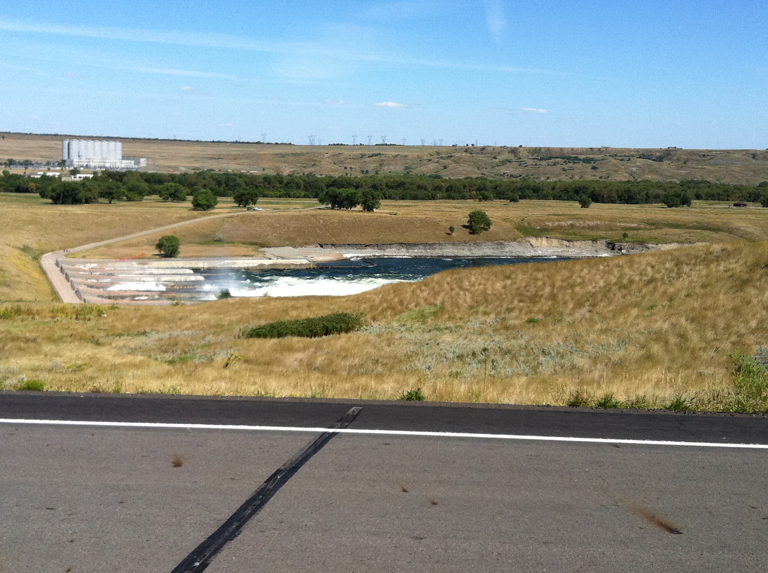
Oahe Dam lower side
South Dakota Mentor Series
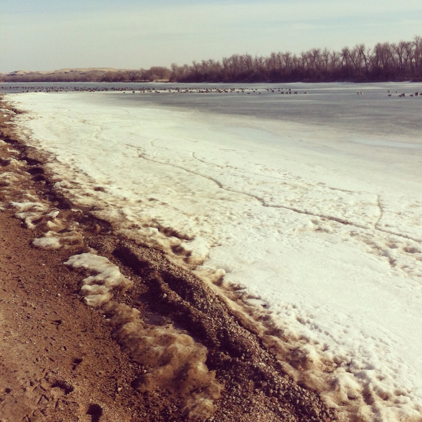
The Missouri River, still frozen.

South Dakota Mentor Series
2005-07-04 at 15-59-49 - IMG_0774.JPG
South Dakota Mentor Series
Topographic Map of N Garfield Ave, Pierre, SD, USA
Find elevation by address:

Places near N Garfield Ave, Pierre, SD, USA:
603 N Jackson Ave
1600 E Dakota Ave
Pierre
313 S Pierre St
Missouri River
Hustan Ave, Fort Pierre, SD, USA
516 Deadwood St
516 Deadwood St
516 Deadwood St
516 Deadwood St
516 Deadwood St
Fort Pierre
Rousseau Avenue
State Hwy, Fort Pierre, SD, USA
State Hwy, Fort Pierre, SD, USA
Main St, Onida, SD, USA
28181 182nd St
Onida
South Stanley
Sully County
Recent Searches:
- Elevation of Unnamed Road, Respublika Severnaya Osetiya — Alaniya, Russia
- Elevation of Verkhny Fiagdon, North Ossetia–Alania Republic, Russia
- Elevation of F. Viola Hiway, San Rafael, Bulacan, Philippines
- Elevation of Herbage Dr, Gulfport, MS, USA
- Elevation of Lilac Cir, Haldimand, ON N3W 2G9, Canada
- Elevation of Harrod Branch Road, Harrod Branch Rd, Kentucky, USA
- Elevation of Wyndham Grand Barbados Sam Lords Castle All Inclusive Resort, End of Belair Road, Long Bay, Bridgetown Barbados
- Elevation of Iga Trl, Maggie Valley, NC, USA
- Elevation of N Co Rd 31D, Loveland, CO, USA
- Elevation of Lindever Ln, Palmetto, FL, USA