Elevation of Hughes County, SD, USA
Location: United States > South Dakota >
Longitude: -99.812493
Latitude: 44.3535022
Elevation: 526m / 1726feet
Barometric Pressure: 95KPa
Elevation Map:
Satellite Map:
Related Photos:
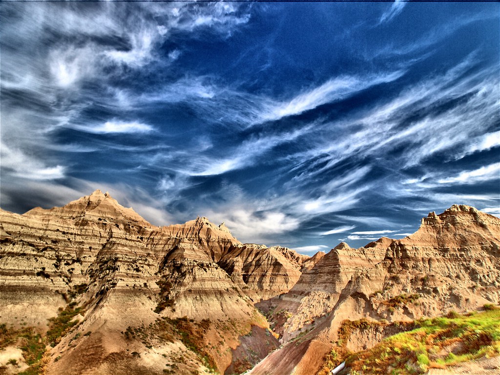
Badlands National Park

Tim Jaycee
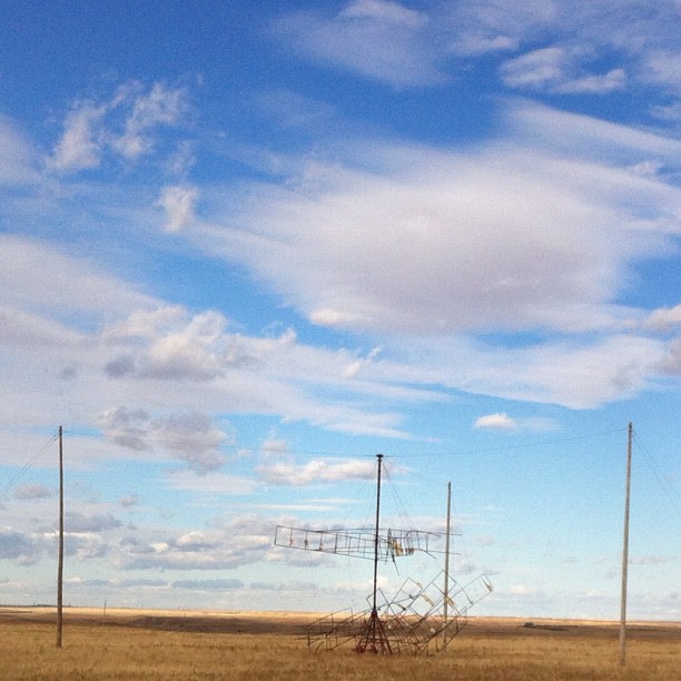
Experimental South Dakota windmill - didn't work so well...
Topographic Map of Hughes County, SD, USA
Find elevation by address:

Places in Hughes County, SD, USA:
Places near Hughes County, SD, USA:
Dorman Township
Lyman County
N Main Ave, Reliance, SD, USA
Reliance
Oacoma
Chamberlain
Brule County
Kimball
Wessington
160 Sutherland St W
160 Sutherland St W
Jerauld County
Wessington Springs
Vernon Township
Eureka Township
U.s. 14
th Ave, Plankinton, SD, USA
Redfield
210 E 7th Ave
Aurora County
Recent Searches:
- Elevation of Badaber, Peshawar, Khyber Pakhtunkhwa, Pakistan
- Elevation of SE Heron Loop, Lincoln City, OR, USA
- Elevation of Slanický ostrov, 01 Námestovo, Slovakia
- Elevation of Spaceport America, Co Rd A, Truth or Consequences, NM, USA
- Elevation of Warwick, RI, USA
- Elevation of Fern Rd, Whitmore, CA, USA
- Elevation of 62 Abbey St, Marshfield, MA, USA
- Elevation of Fernwood, Bradenton, FL, USA
- Elevation of Felindre, Swansea SA5 7LU, UK
- Elevation of Leyte Industrial Development Estate, Isabel, Leyte, Philippines