Elevation of N Main Ave, Reliance, SD, USA
Location: United States > South Dakota >
Longitude: -99.602935
Latitude: 43.8796926
Elevation: 544m / 1785feet
Barometric Pressure: 95KPa
Elevation Map:
Satellite Map:
Related Photos:
The Wonderful West
day06 331

day06 332
day06 333
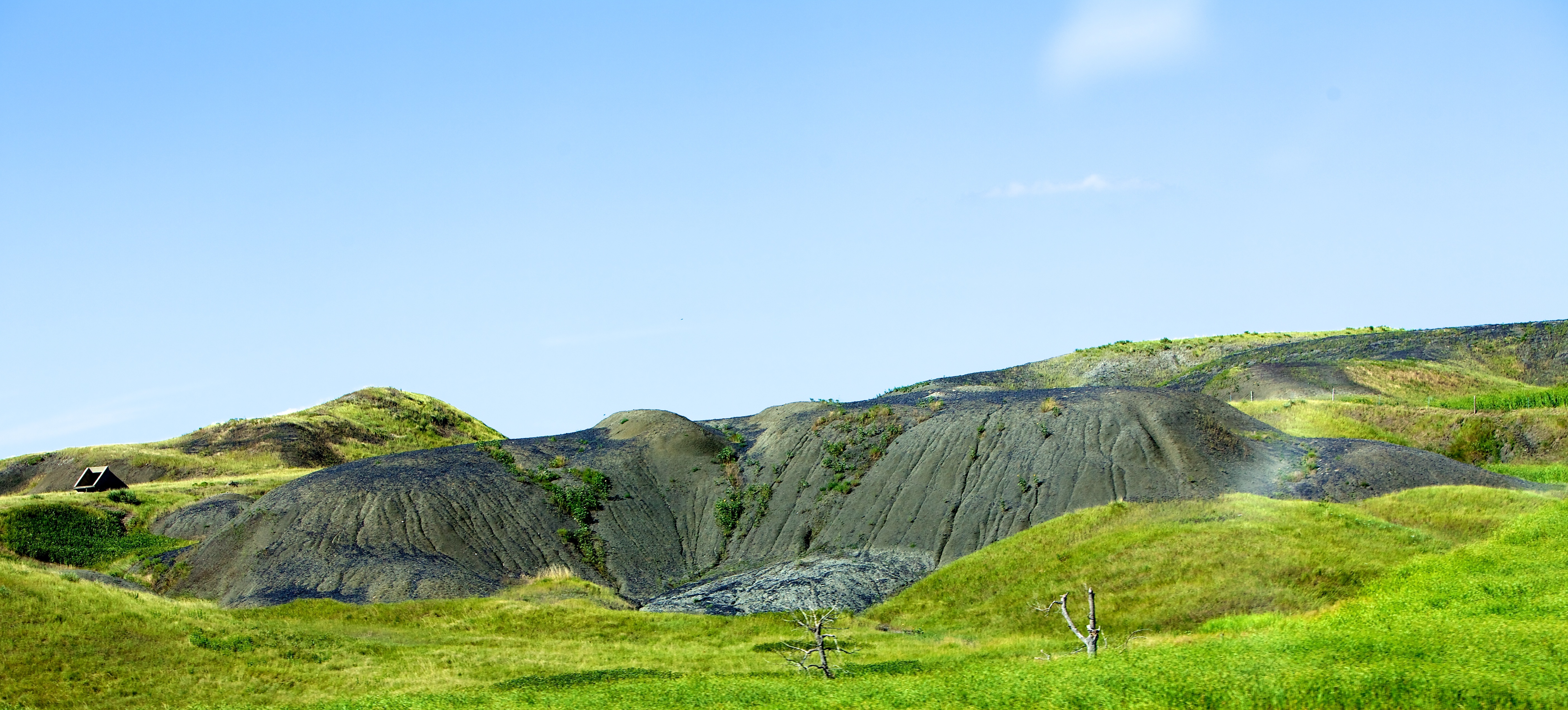
Medicine Butte Close Up
day06 330

Once upon a time
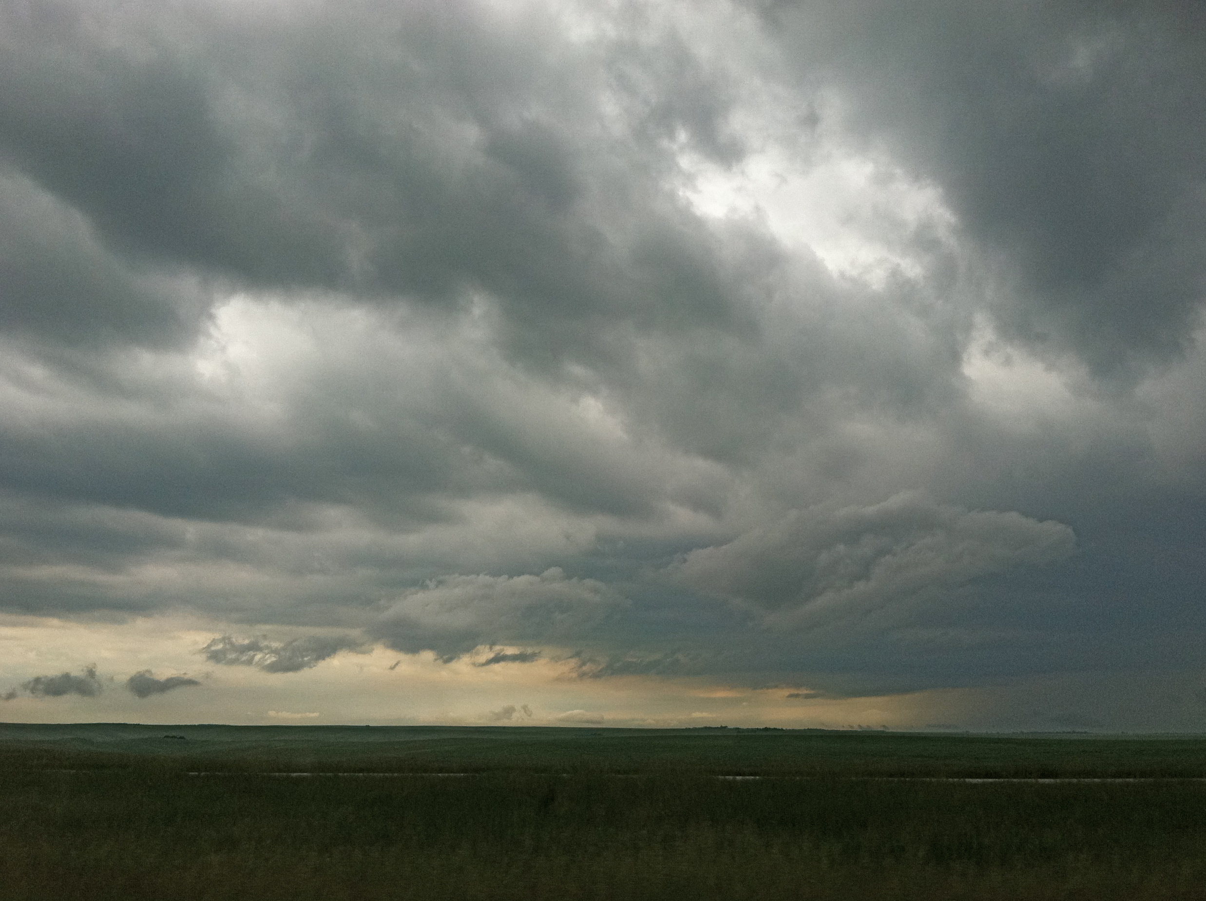
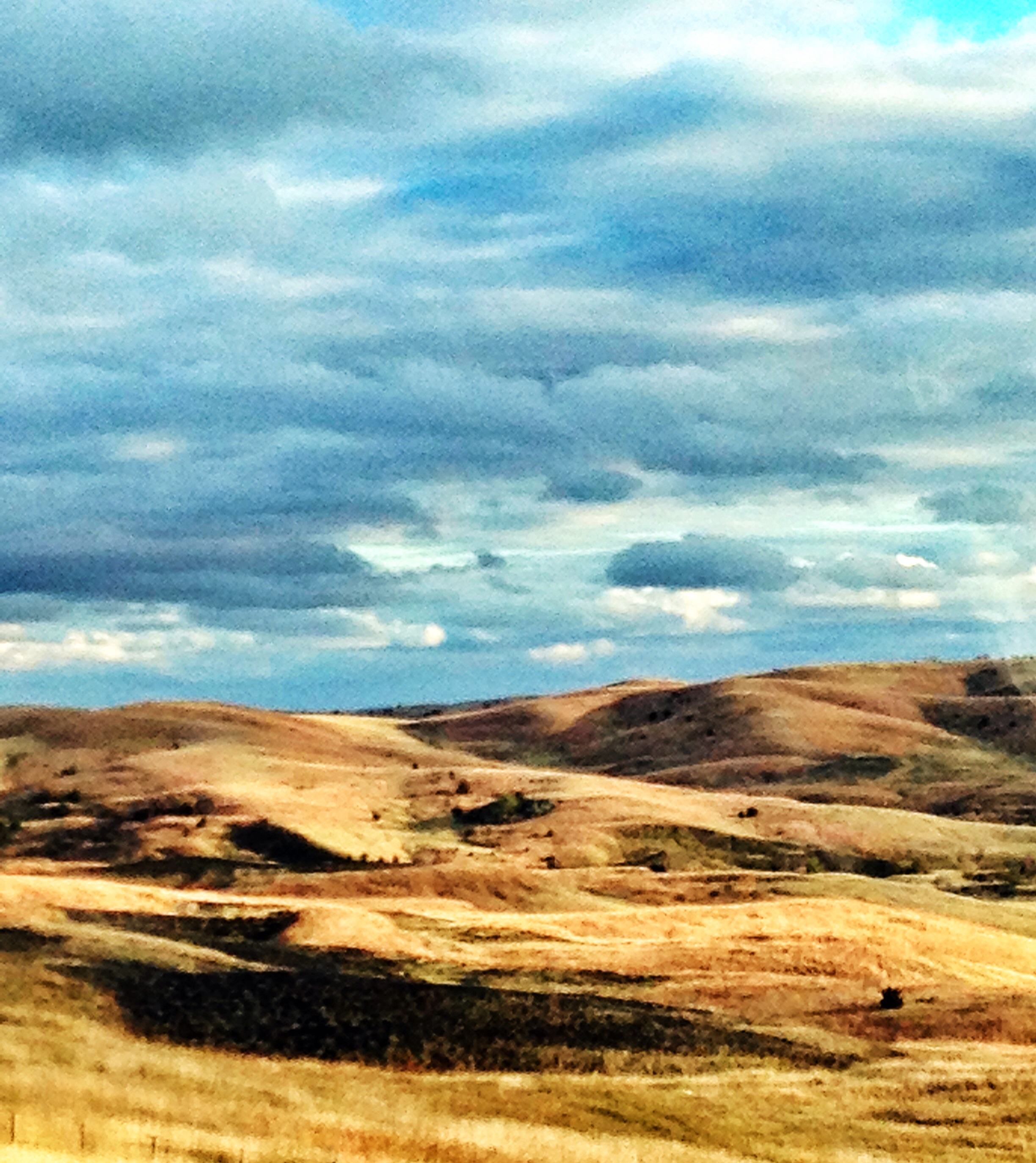
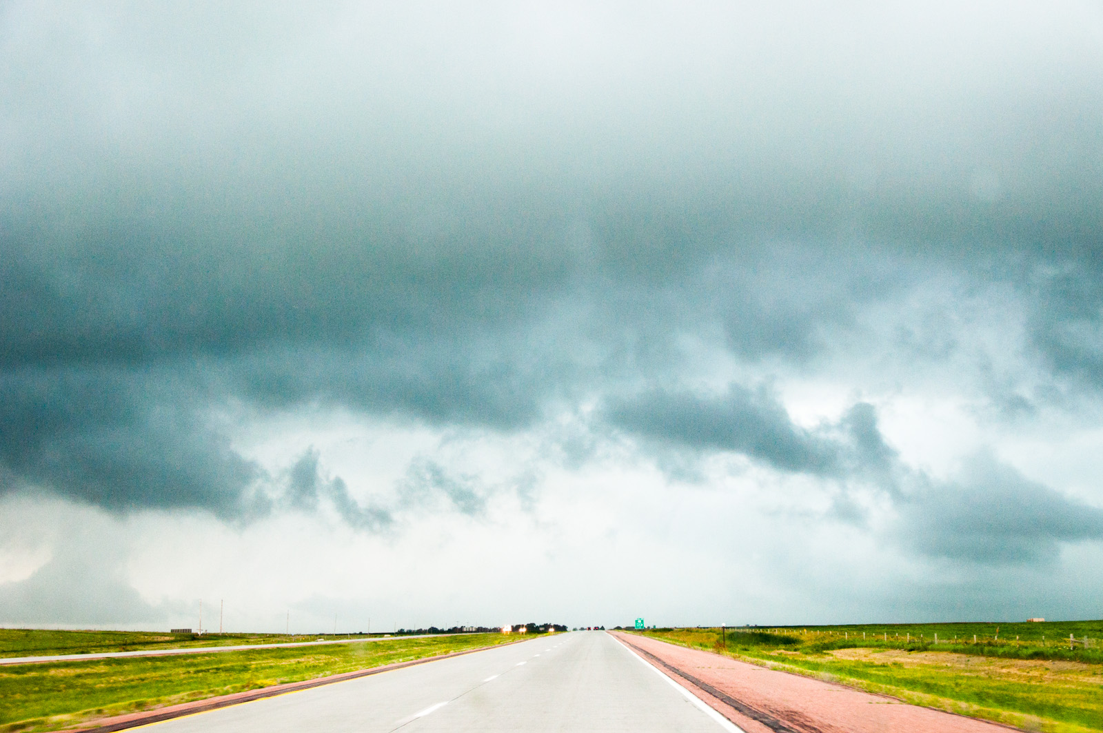
Storm Clouds Moving Over the Plains
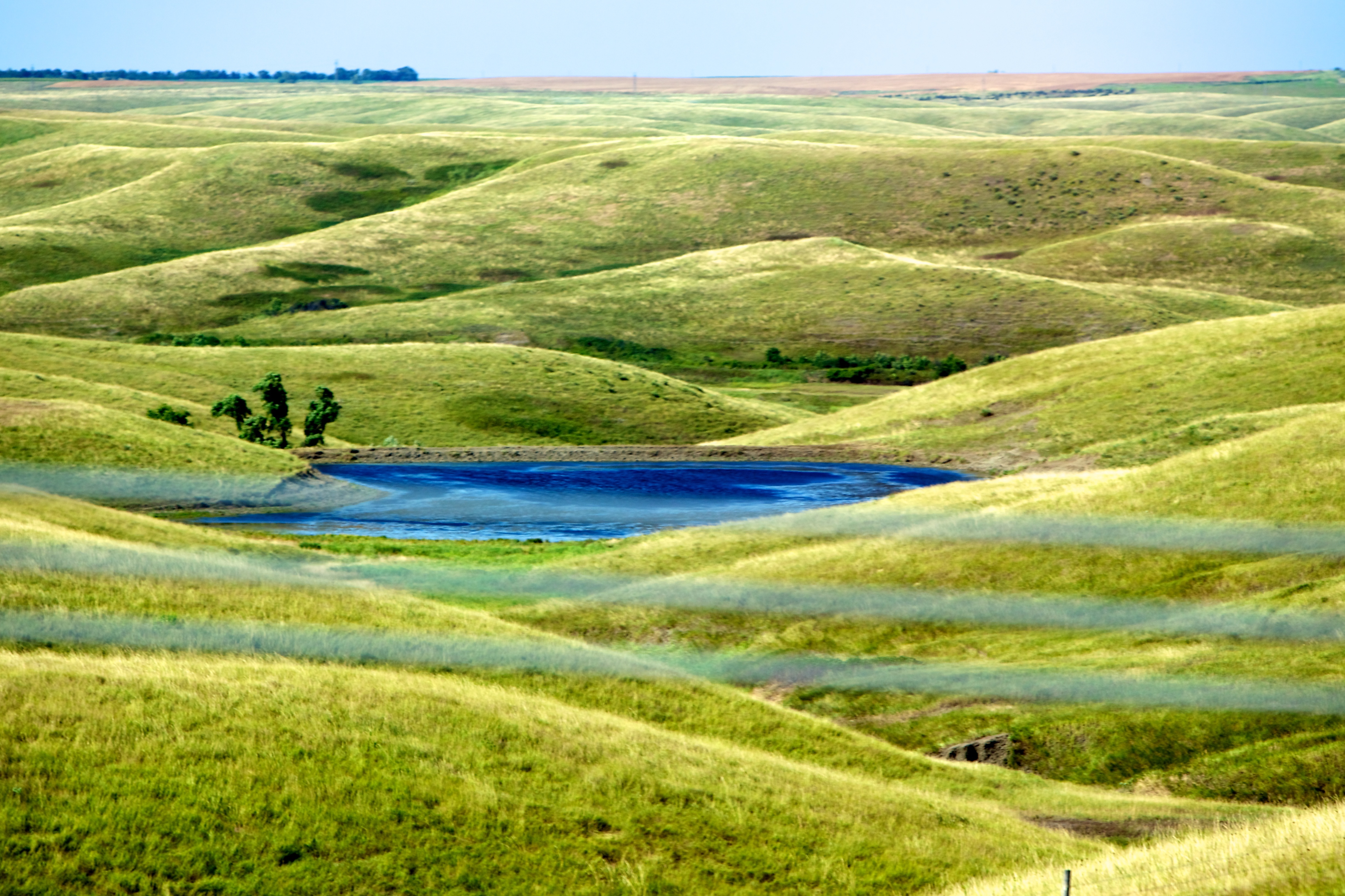
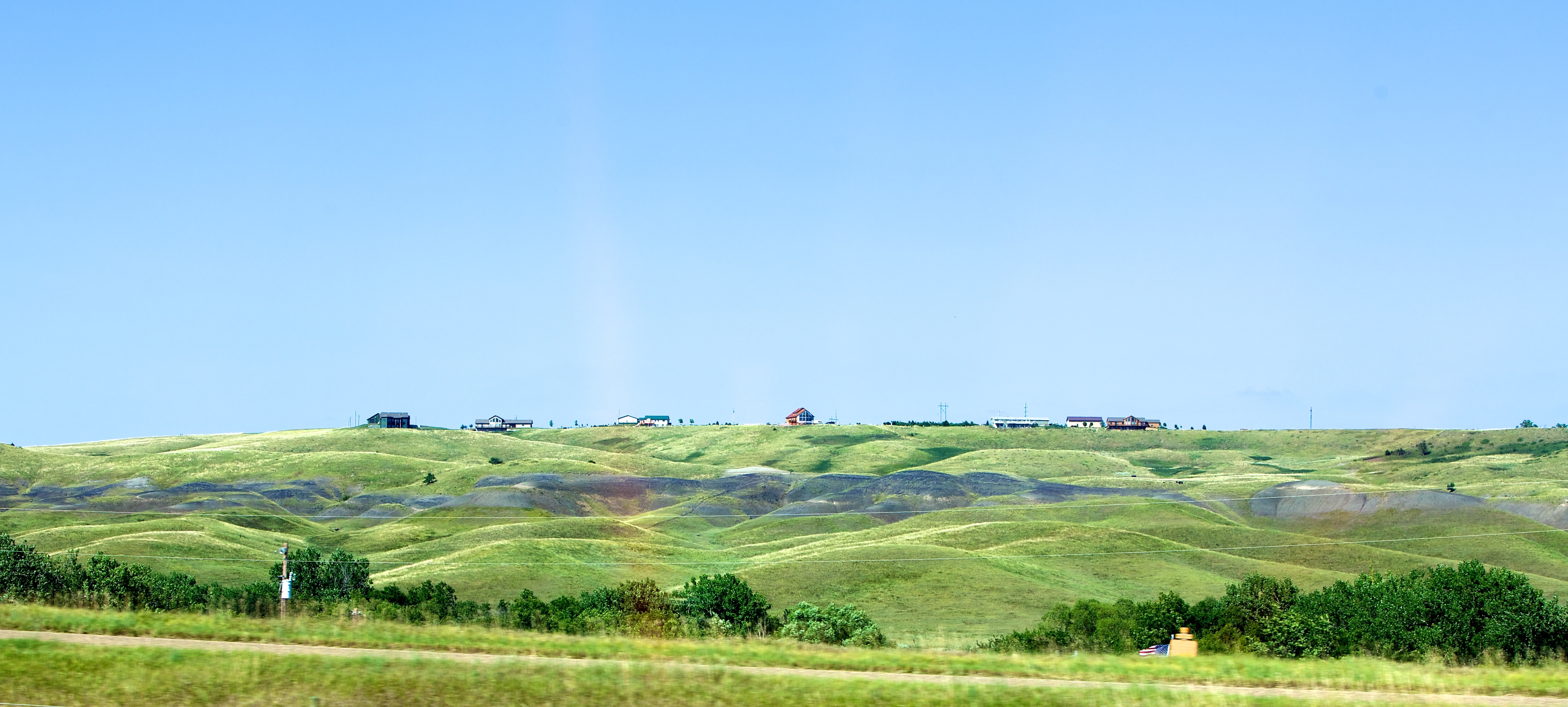
South Dakota landscape
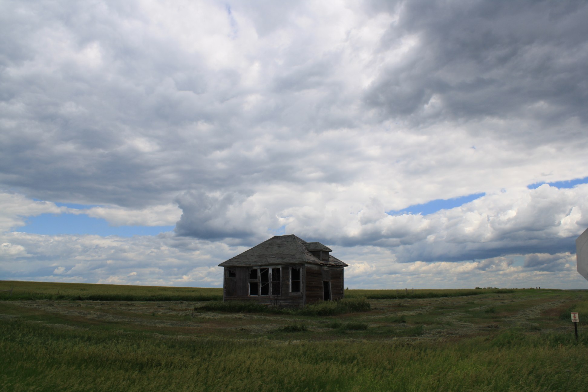
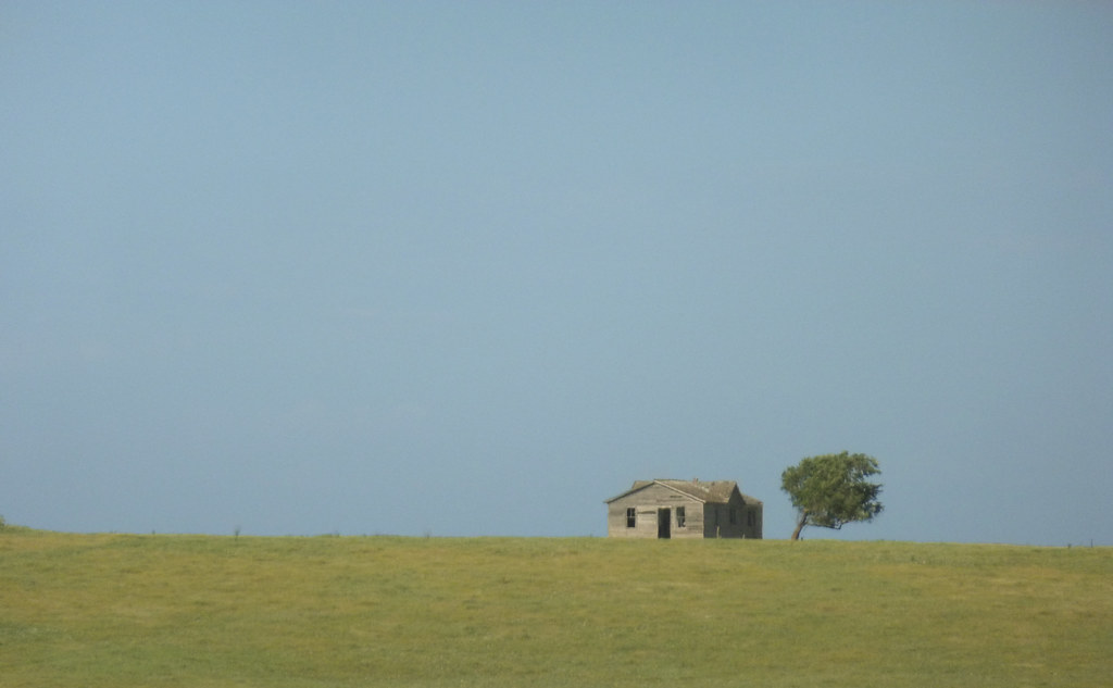
School or House? Abandoned Either Way
day06 328

2011-1880TOWN5-Hills
day06 326
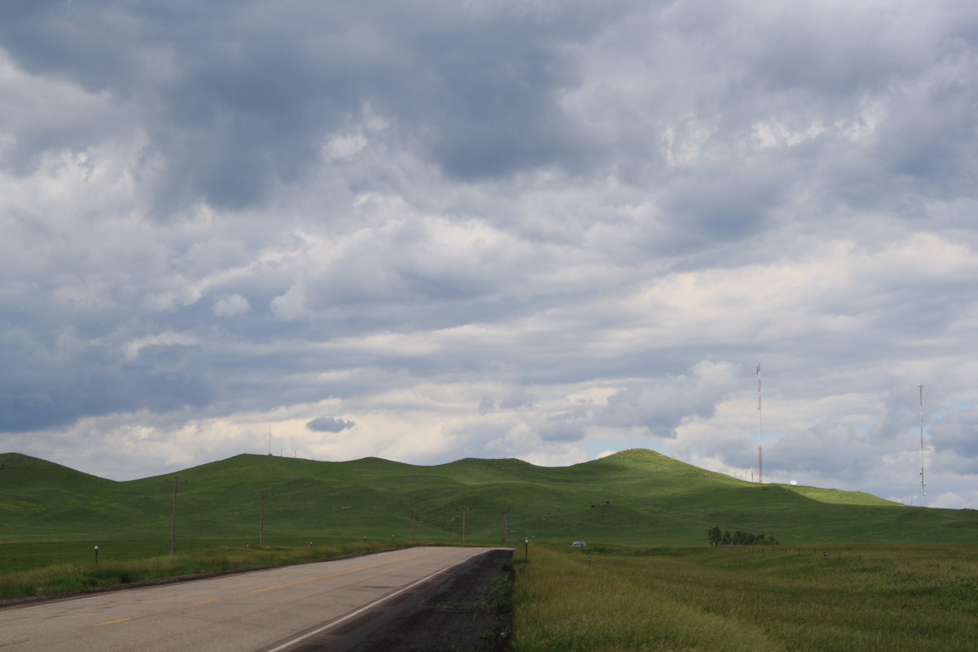
Edge of the Storm
_MG_3707.jpg

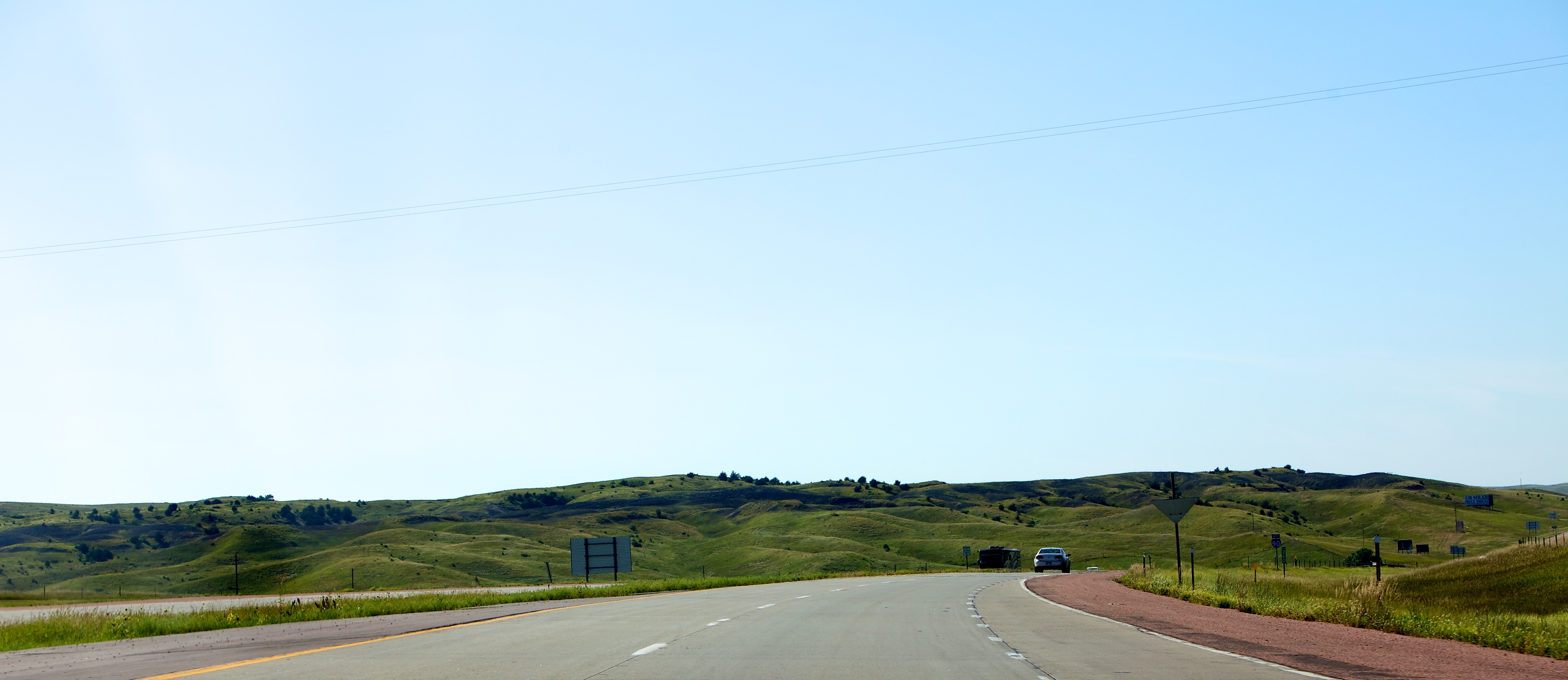
South Dakota

Final Approach to Medicine Butte

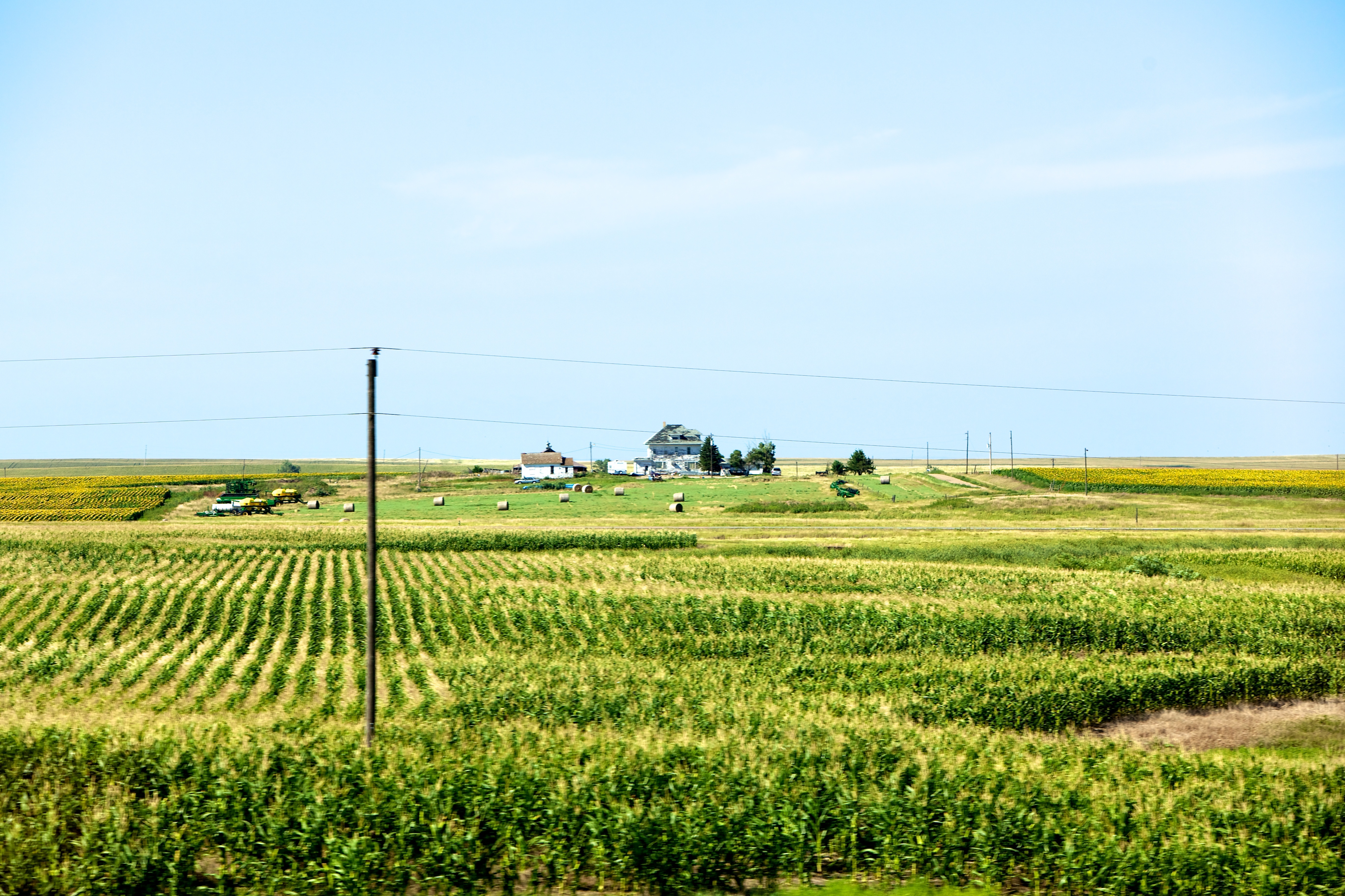
2011-1880TOWN6-Sunflowers

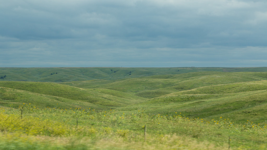
South Dakota

South Dakota

South Dakota
Topographic Map of N Main Ave, Reliance, SD, USA
Find elevation by address:

Places near N Main Ave, Reliance, SD, USA:
Reliance
Lyman County
Oacoma
Dorman Township
Chamberlain
Hughes County
Brule County
Kimball
Eureka Township
Jerauld County
th Ave, Plankinton, SD, USA
Aurora County
Wessington Springs
Wessington
160 Sutherland St W
160 Sutherland St W
Plankinton
Vernon Township
U.s. 14
Redfield
Recent Searches:
- Elevation of W Granada St, Tampa, FL, USA
- Elevation of Pykes Down, Ivybridge PL21 0BY, UK
- Elevation of Jalan Senandin, Lutong, Miri, Sarawak, Malaysia
- Elevation of Bilohirs'k
- Elevation of 30 Oak Lawn Dr, Barkhamsted, CT, USA
- Elevation of Luther Road, Luther Rd, Auburn, CA, USA
- Elevation of Unnamed Road, Respublika Severnaya Osetiya — Alaniya, Russia
- Elevation of Verkhny Fiagdon, North Ossetia–Alania Republic, Russia
- Elevation of F. Viola Hiway, San Rafael, Bulacan, Philippines
- Elevation of Herbage Dr, Gulfport, MS, USA