Elevation of E Dakota Ave, Pierre, SD, USA
Location: United States > South Dakota > Hughes County > Pierre >
Longitude: -100.33003
Latitude: 44.3582596
Elevation: 443m / 1453feet
Barometric Pressure: 96KPa
Elevation Map:
Satellite Map:
Related Photos:
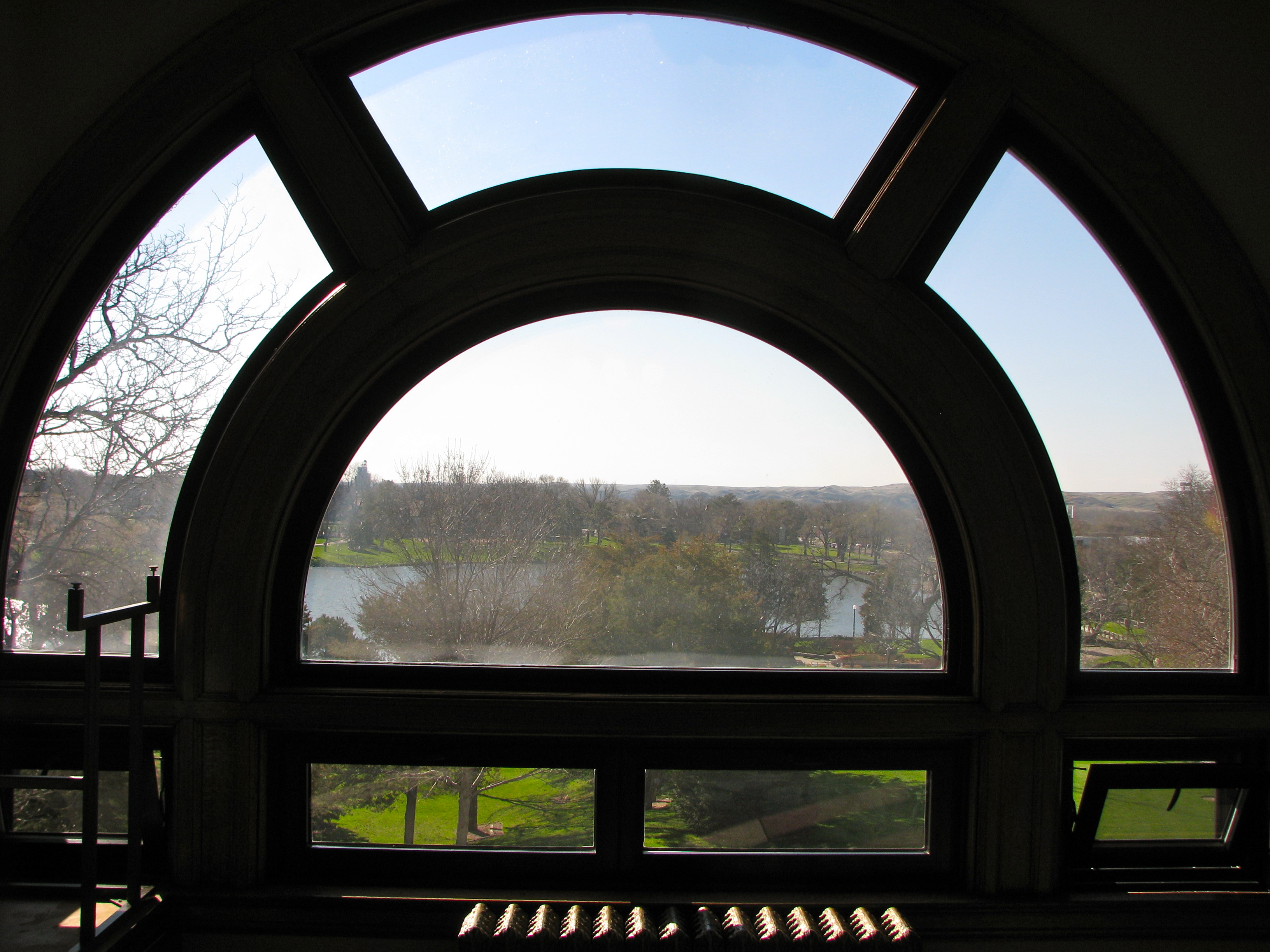
View to Capitol Lake
110608-A-XA675-134

View from the front doors. So pretty.
La Verendrye Site- Fort Pierre SD (1)
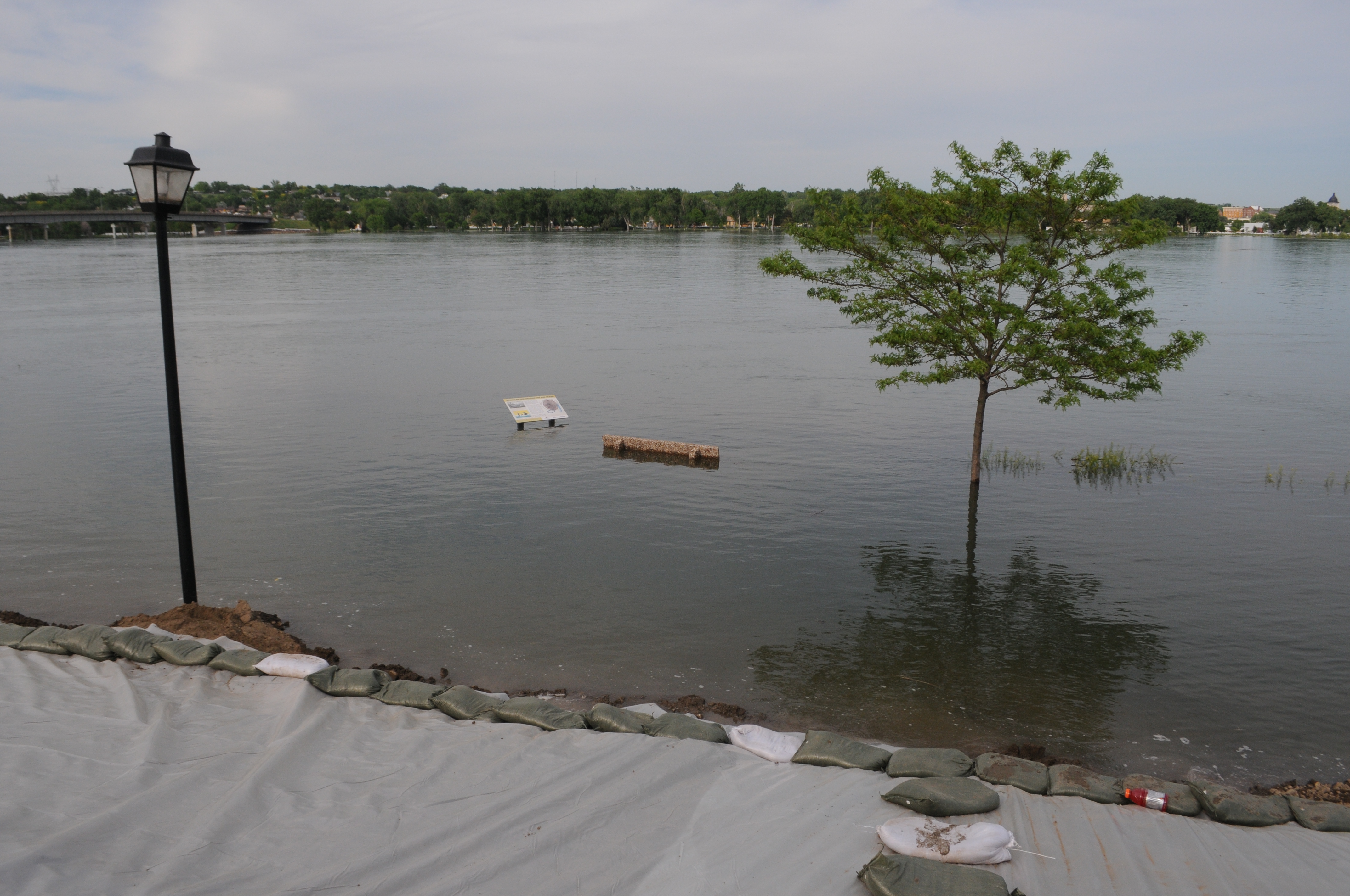
Missouri River, Fort Pierre (S.D.), 20 July 2010
Night view of SD Capitol
South Dakota State Capitol, Pierre (S.D.), 24 October 2017
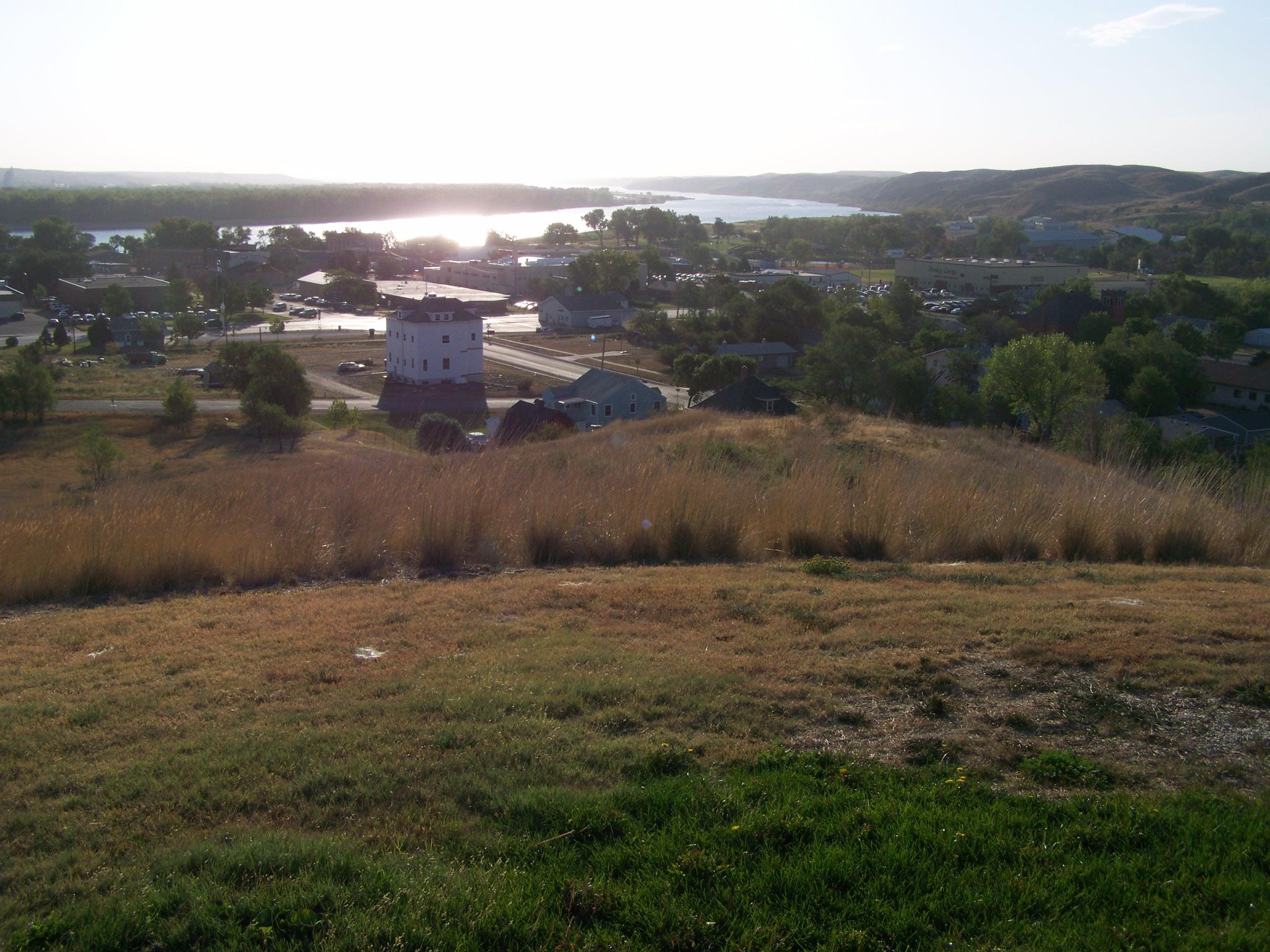
Missouri Bluffs
South Dakota State Capitol, Pierre (S.D.), 24 October 2017

House Rules
South Dakota State Capitol, Pierre (S.D.), 24 October 2017
Front Door
Fire in the Sky
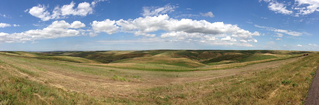
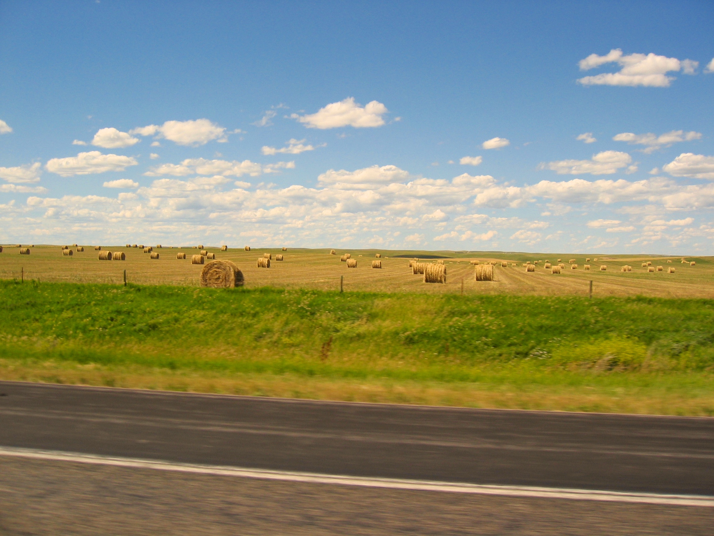
SD prairie with filter
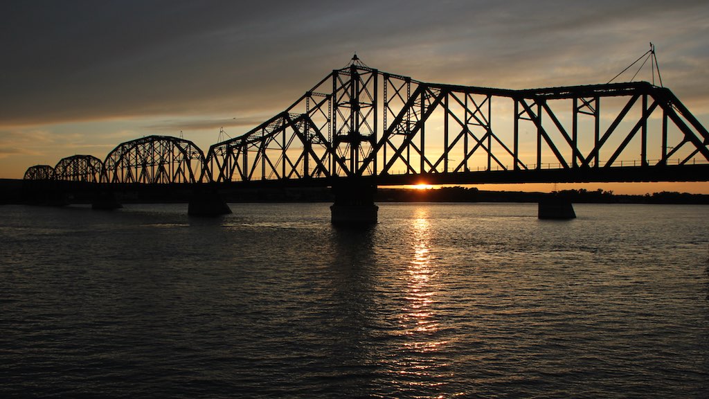
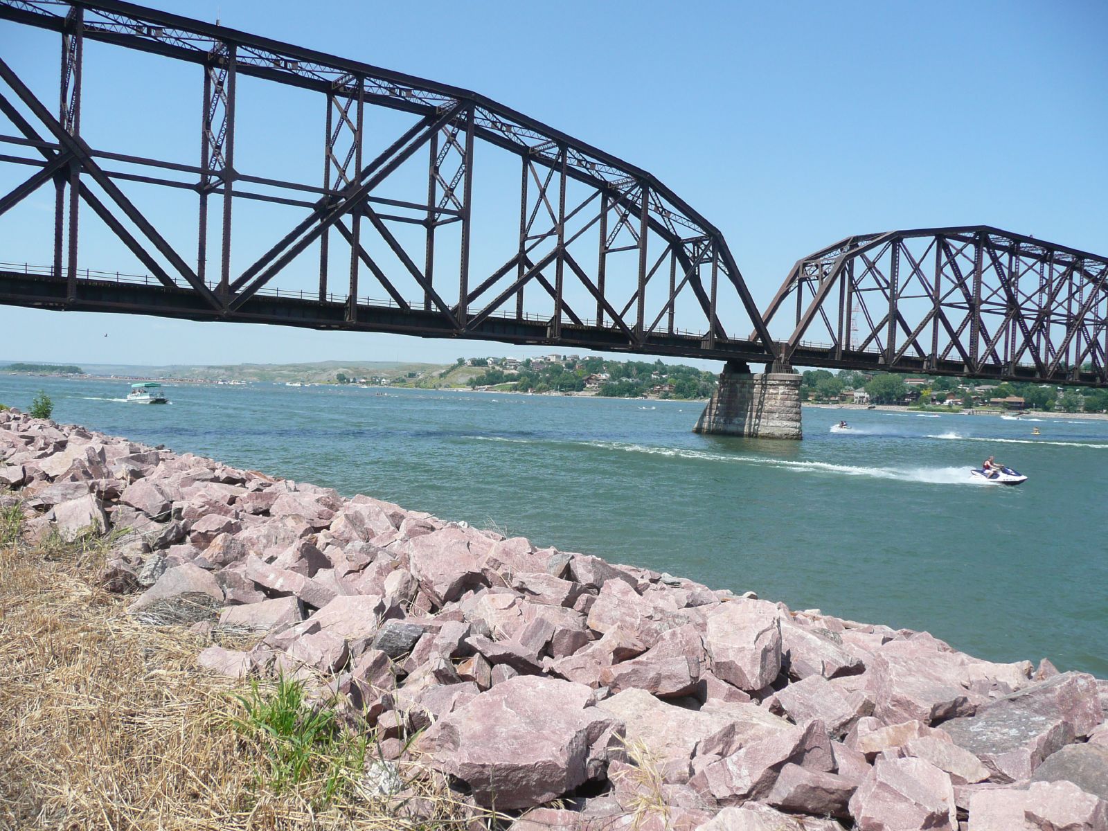
Chicago & Northern Rail Bridge crosses Missouri River @ Pierre SD 3
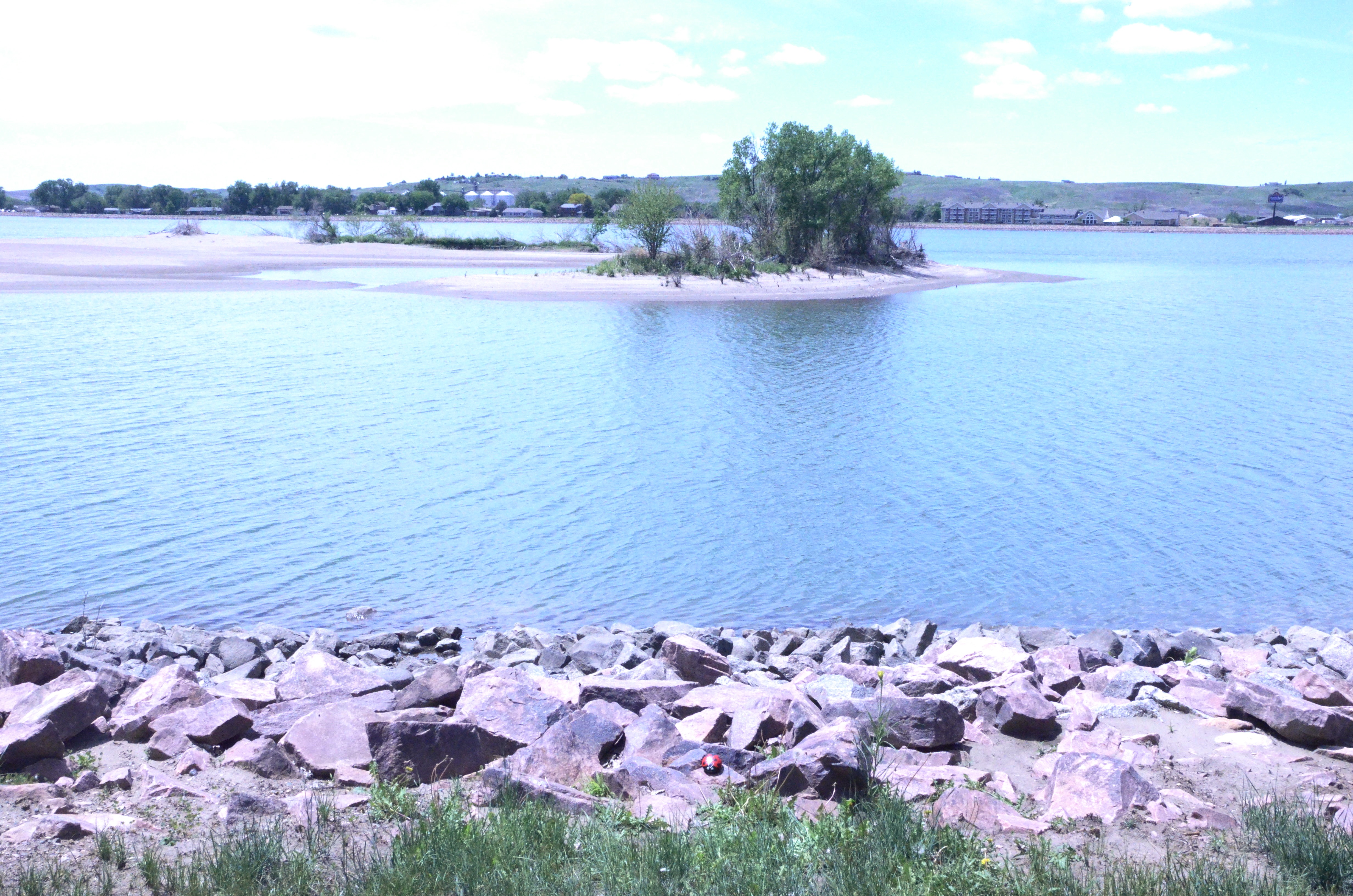
Missouri River- Farm Island Recreation Area- Hughes County SD (3)
StormChasing 347
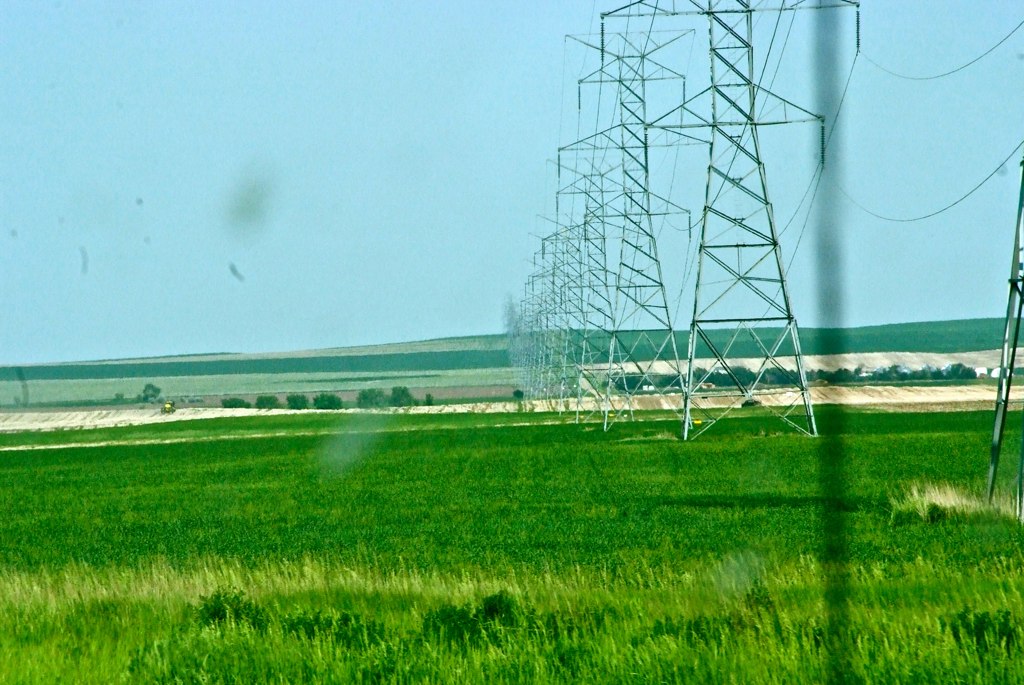
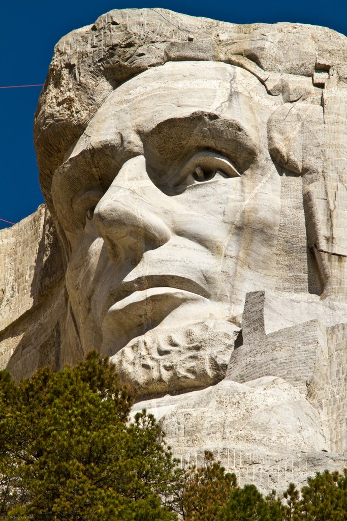
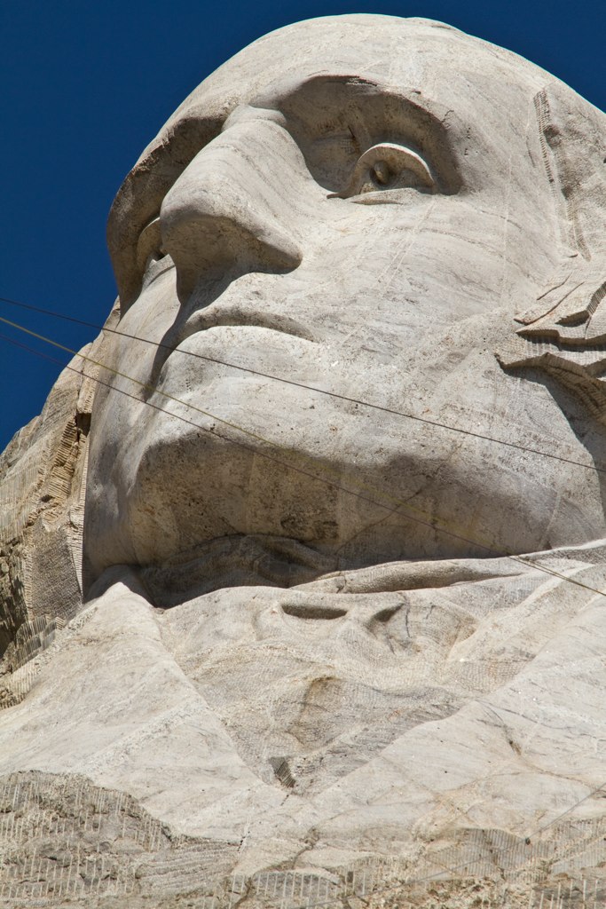
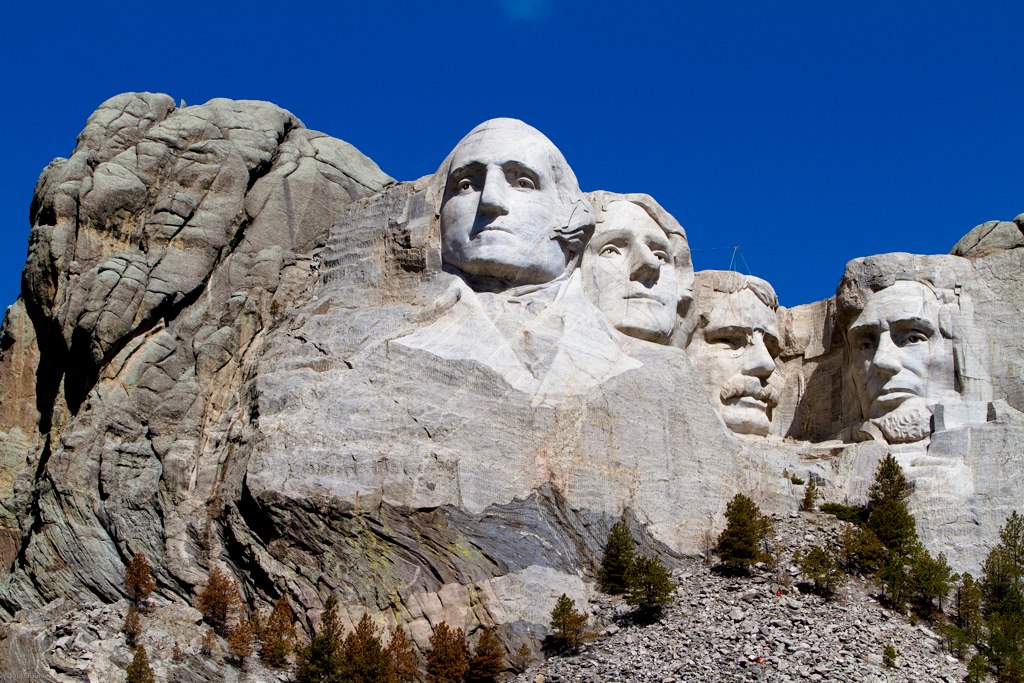
South Dakota
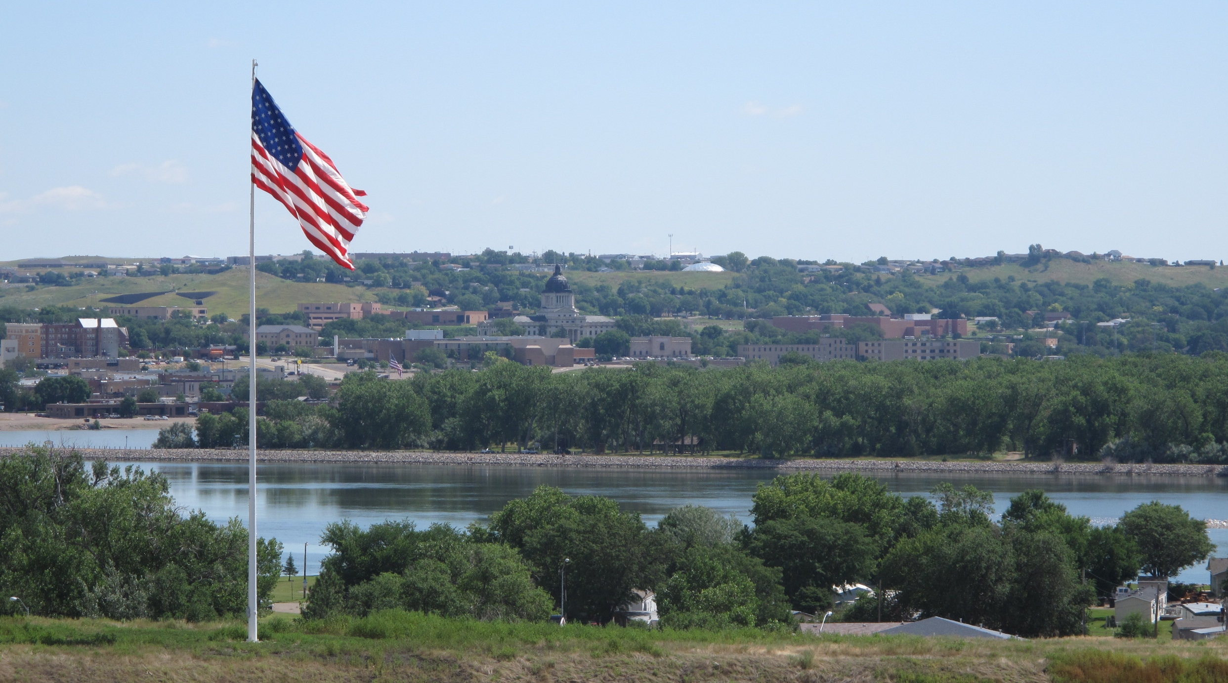
Pierre (South Dakota)
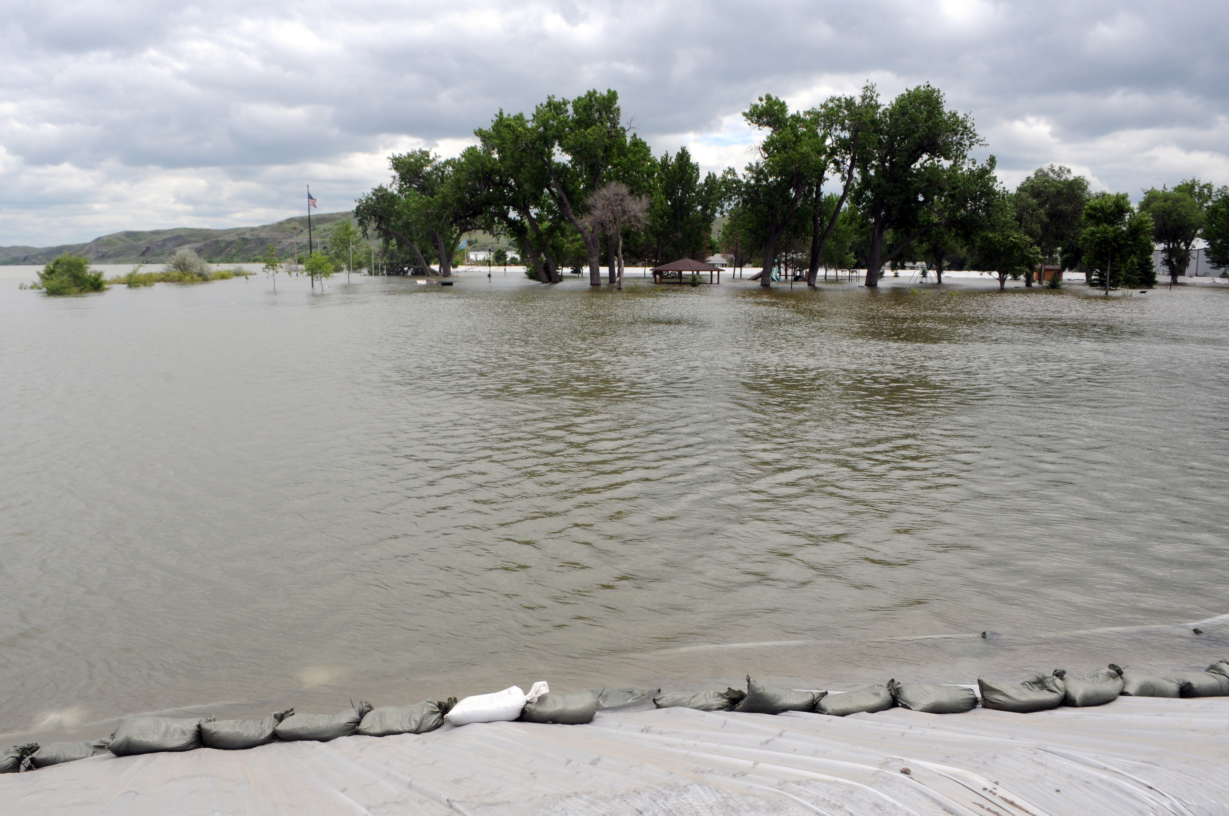
Missouri River at Fort Pierre - June 4, 2011
Pierre, South Dakota
South Dakota Mentor Series
South Dakota Mentor Series
South Dakota Mentor Series
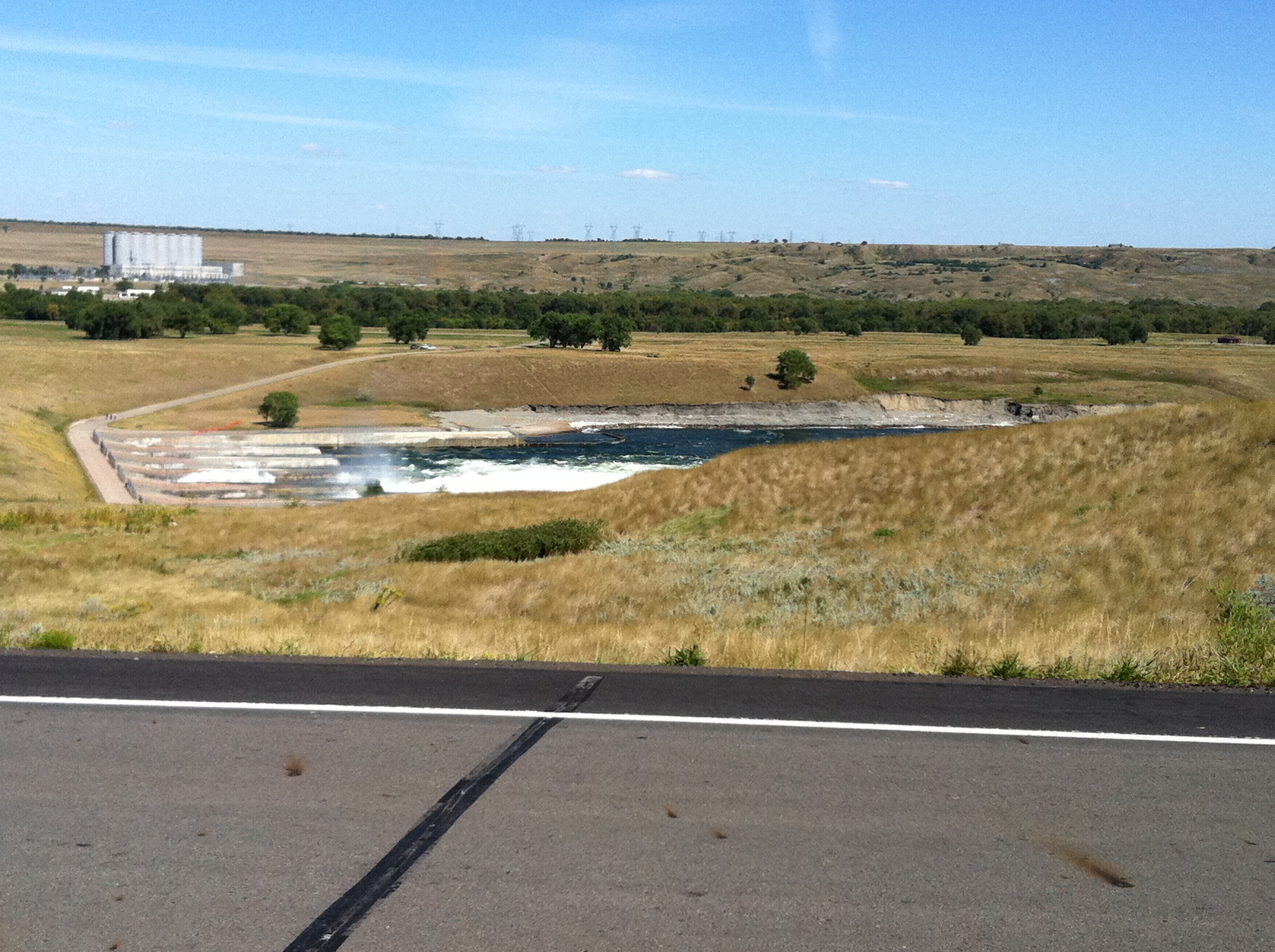
Oahe Dam lower side
South Dakota Mentor Series
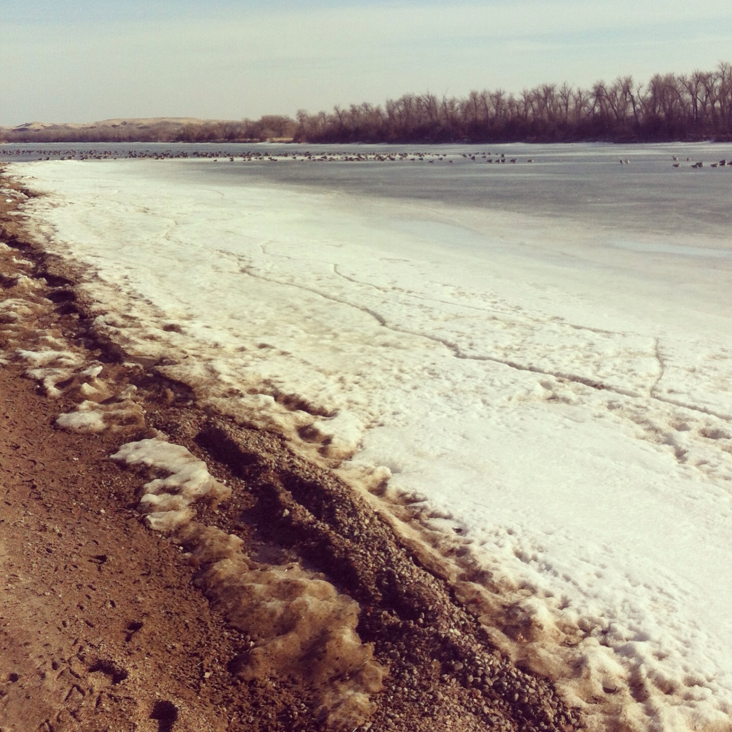
The Missouri River, still frozen.
South Dakota Mentor Series
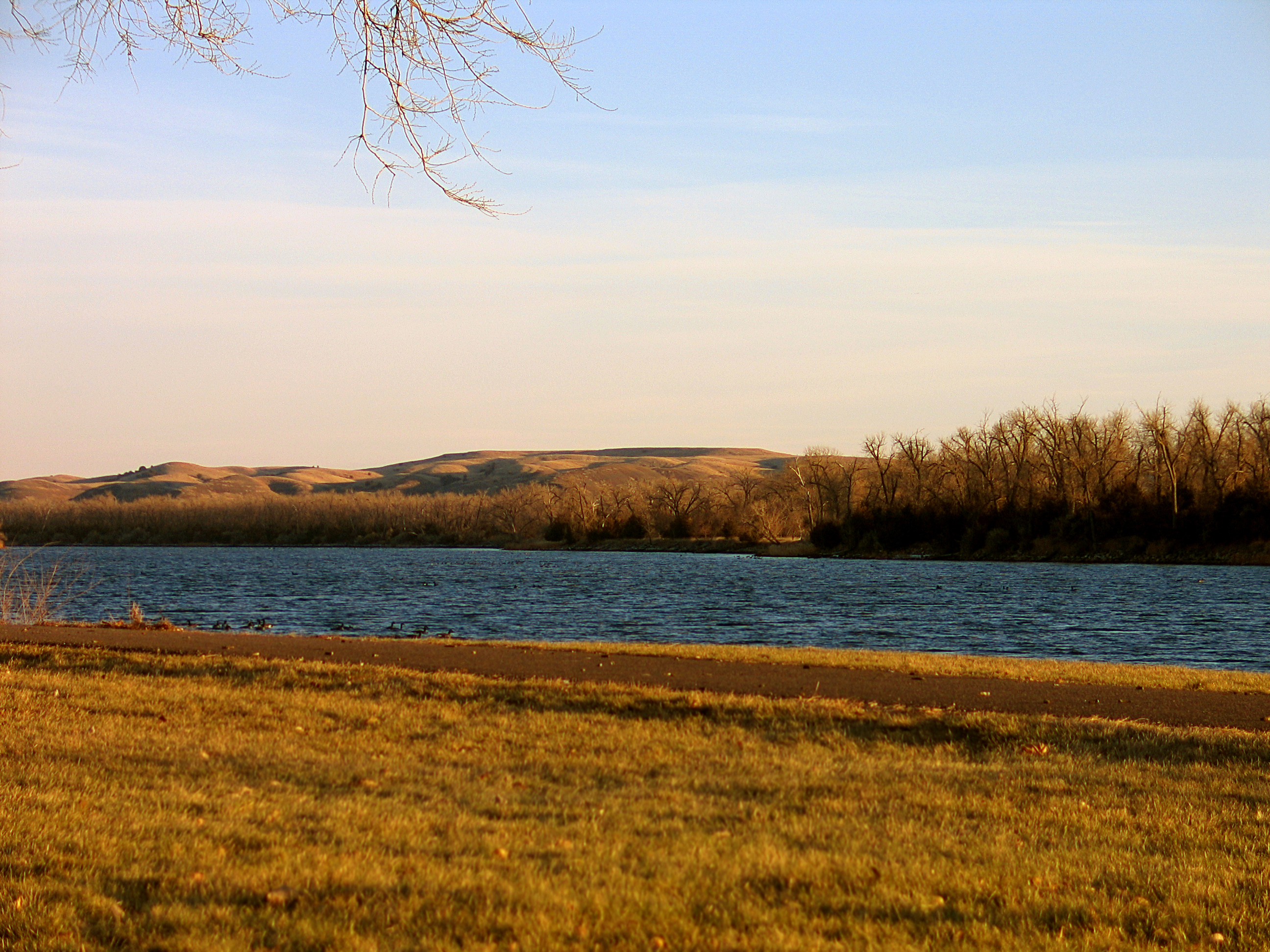
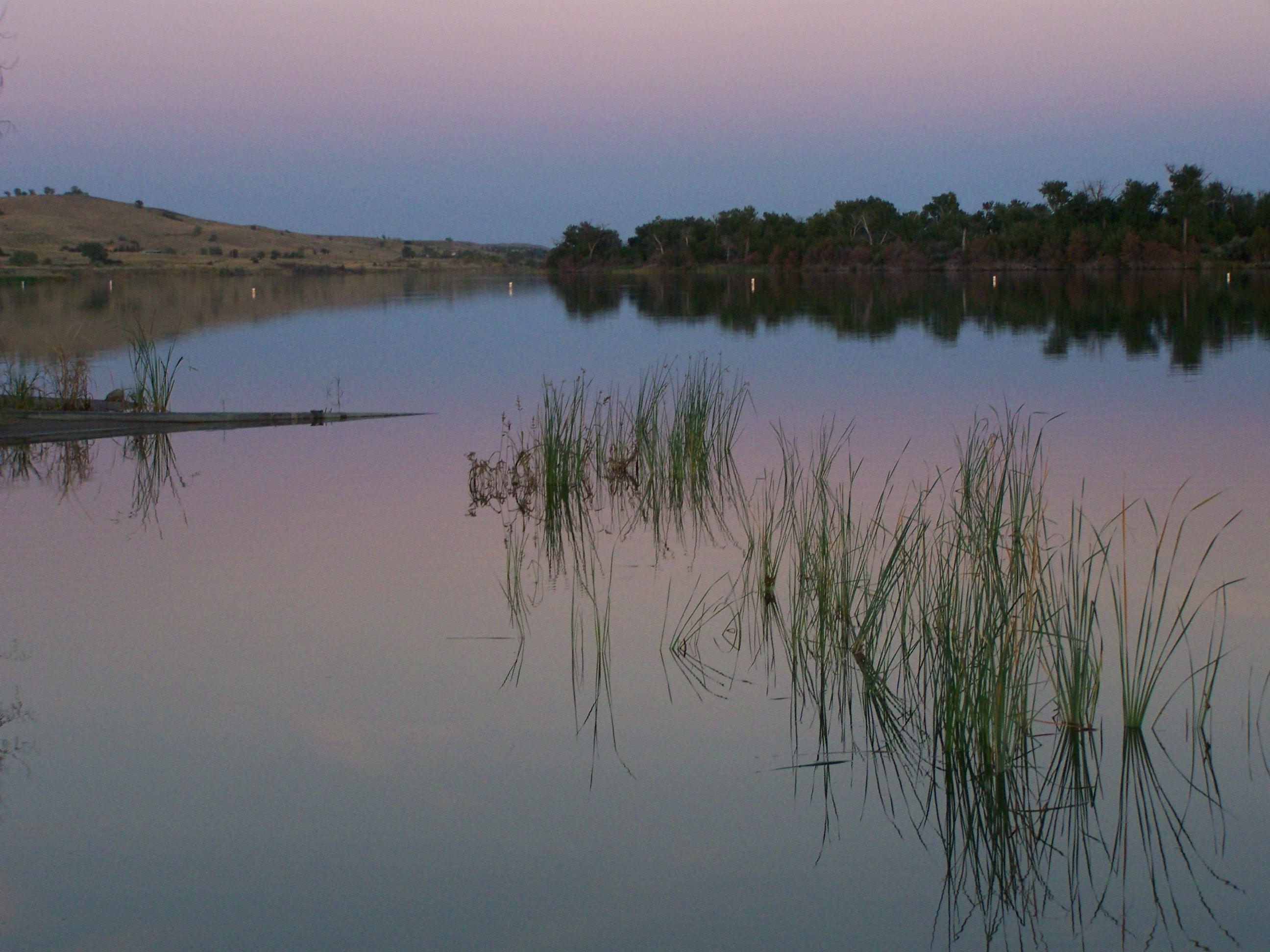
Missouri River
2005-07-04 at 15-59-49 - IMG_0774.JPG
South Dakota Mentor Series
Topographic Map of E Dakota Ave, Pierre, SD, USA
Find elevation by address:

Places near E Dakota Ave, Pierre, SD, USA:
603 N Jackson Ave
Pierre
313 S Pierre St
1730 N Garfield Ave
Missouri River
Fort Pierre
516 Deadwood St
516 Deadwood St
516 Deadwood St
516 Deadwood St
516 Deadwood St
Hustan Ave, Fort Pierre, SD, USA
Rousseau Avenue
State Hwy, Fort Pierre, SD, USA
State Hwy, Fort Pierre, SD, USA
South Stanley
28181 182nd St
Main St, Onida, SD, USA
Onida
Stanley County
Recent Searches:
- Elevation of Tenjo, Cundinamarca, Colombia
- Elevation of Côte-des-Neiges, Montreal, QC H4A 3J6, Canada
- Elevation of Bobcat Dr, Helena, MT, USA
- Elevation of Zu den Ihlowbergen, Althüttendorf, Germany
- Elevation of Badaber, Peshawar, Khyber Pakhtunkhwa, Pakistan
- Elevation of SE Heron Loop, Lincoln City, OR, USA
- Elevation of Slanický ostrov, 01 Námestovo, Slovakia
- Elevation of Spaceport America, Co Rd A, Truth or Consequences, NM, USA
- Elevation of Warwick, RI, USA
- Elevation of Fern Rd, Whitmore, CA, USA