Elevation of nd St, Pierre, SD, USA
Location: United States > South Dakota > Hughes County > Pierre >
Longitude: -100.49233
Latitude: 44.7502249
Elevation: 581m / 1906feet
Barometric Pressure: 95KPa
Elevation Map:
Satellite Map:
Related Photos:
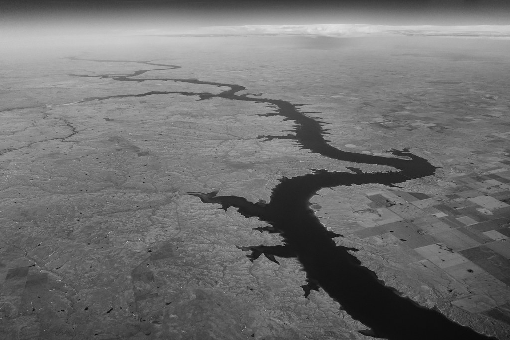
Flying over Missouri River

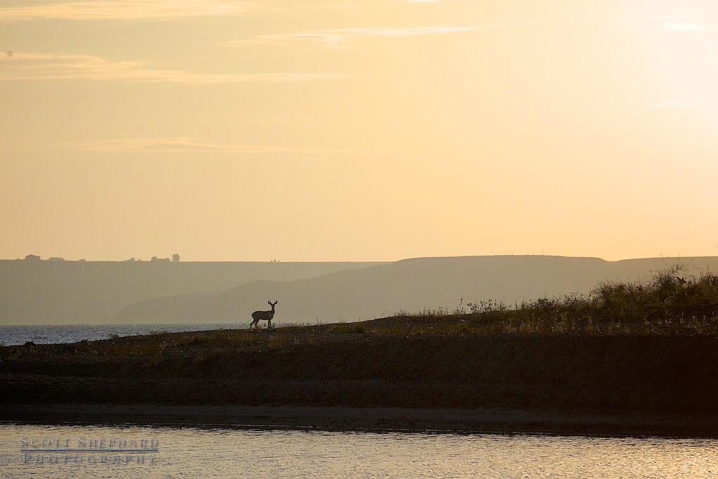
Little Bend Sunset
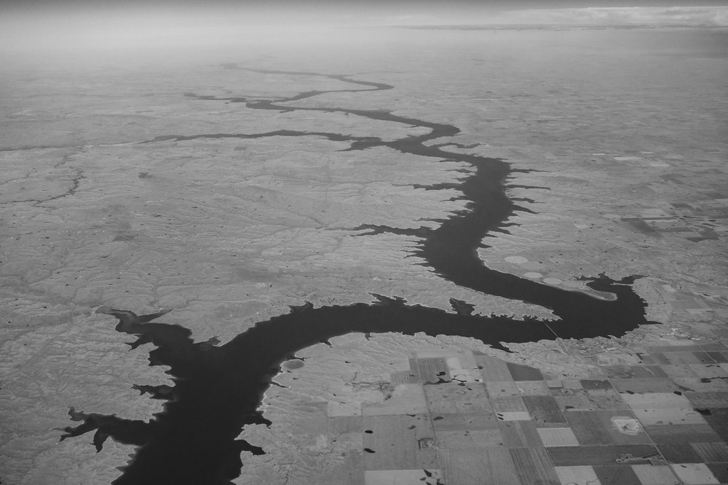
Flying over Missouri River
2014 01-26 Vigilence by Watertown, South Dakota, photographer Scott Shephard
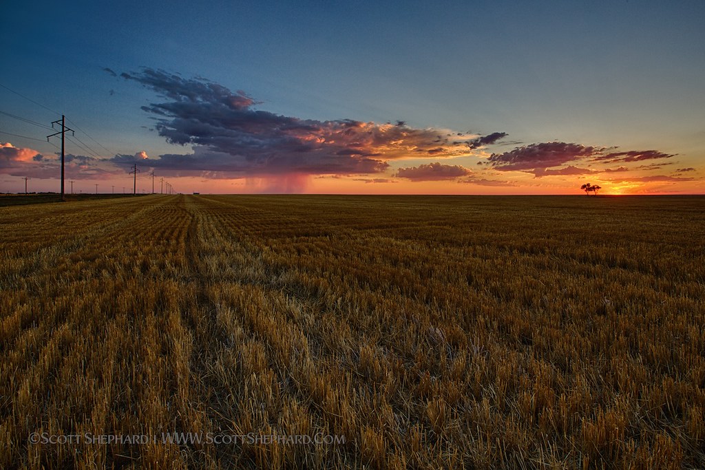
Distant Shower

Waiting for the Sun
Waiting for the Sun

2014 01-18 The Good Life by Watertown, South Dakota, photographer Scott Shephard

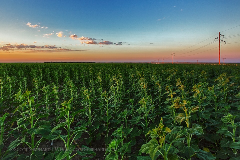
Good Soldiers

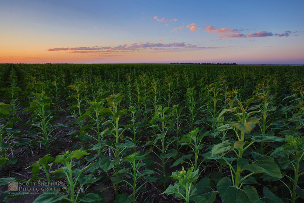
Native Grass
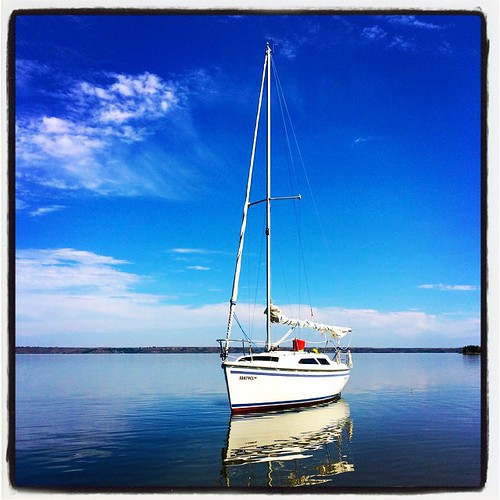
September Sail
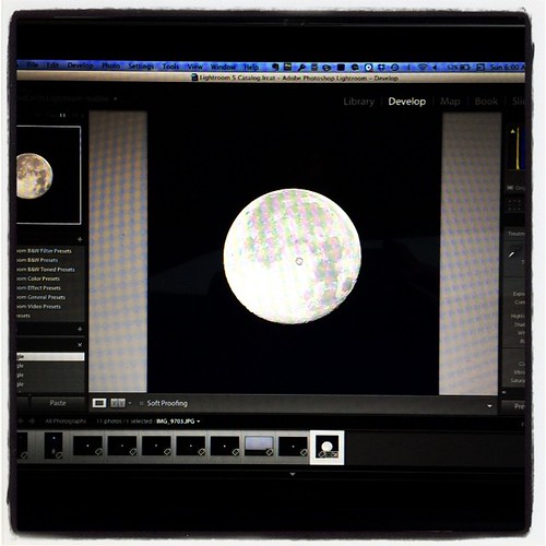
Super moon (just before sunrise yesterday)
2012 01-10-12 The Promise (HDR)
Topographic Map of nd St, Pierre, SD, USA
Find elevation by address:

Places near nd St, Pierre, SD, USA:
State Hwy, Fort Pierre, SD, USA
State Hwy, Fort Pierre, SD, USA
Rousseau Avenue
Hustan Ave, Fort Pierre, SD, USA
Pierre
313 S Pierre St
516 Deadwood St
516 Deadwood St
516 Deadwood St
516 Deadwood St
516 Deadwood St
1730 N Garfield Ave
603 N Jackson Ave
Fort Pierre
1600 E Dakota Ave
Sully County
Missouri River
Main St, Onida, SD, USA
Onida
North Stanley
Recent Searches:
- Elevation of Lampiasi St, Sarasota, FL, USA
- Elevation of Elwyn Dr, Roanoke Rapids, NC, USA
- Elevation of Congressional Dr, Stevensville, MD, USA
- Elevation of Bellview Rd, McLean, VA, USA
- Elevation of Stage Island Rd, Chatham, MA, USA
- Elevation of Shibuya Scramble Crossing, 21 Udagawacho, Shibuya City, Tokyo -, Japan
- Elevation of Jadagoniai, Kaunas District Municipality, Lithuania
- Elevation of Pagonija rock, Kranto 7-oji g. 8"N, Kaunas, Lithuania
- Elevation of Co Rd 87, Jamestown, CO, USA
- Elevation of Tenjo, Cundinamarca, Colombia