Elevation of Rio, WV, USA
Location: United States > West Virginia > Hampshire County > Sherman >
Longitude: -78.670014
Latitude: 39.1384388
Elevation: 344m / 1129feet
Barometric Pressure: 97KPa
Elevation Map:
Satellite Map:
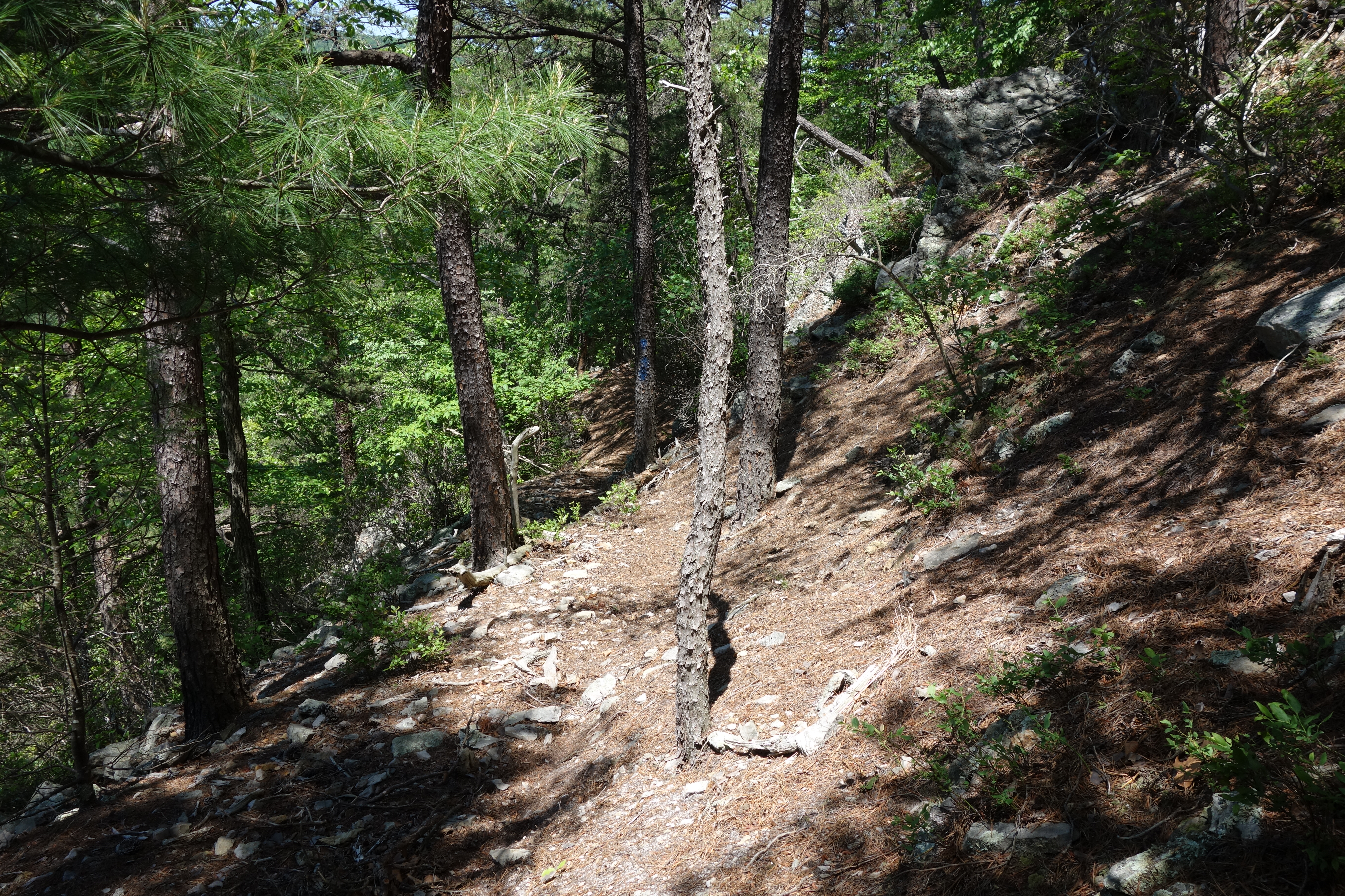
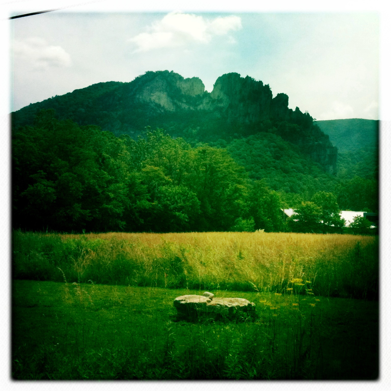
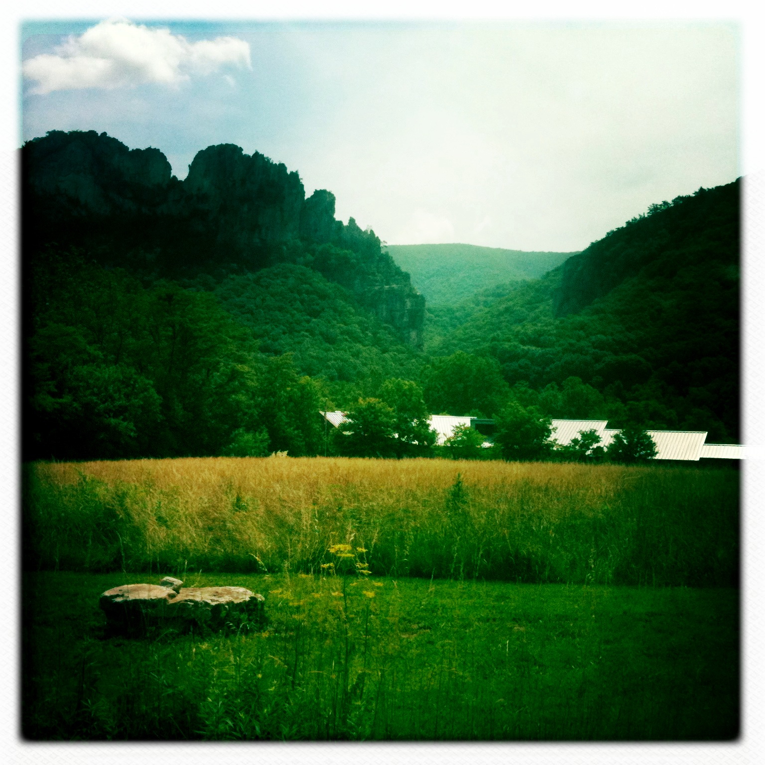
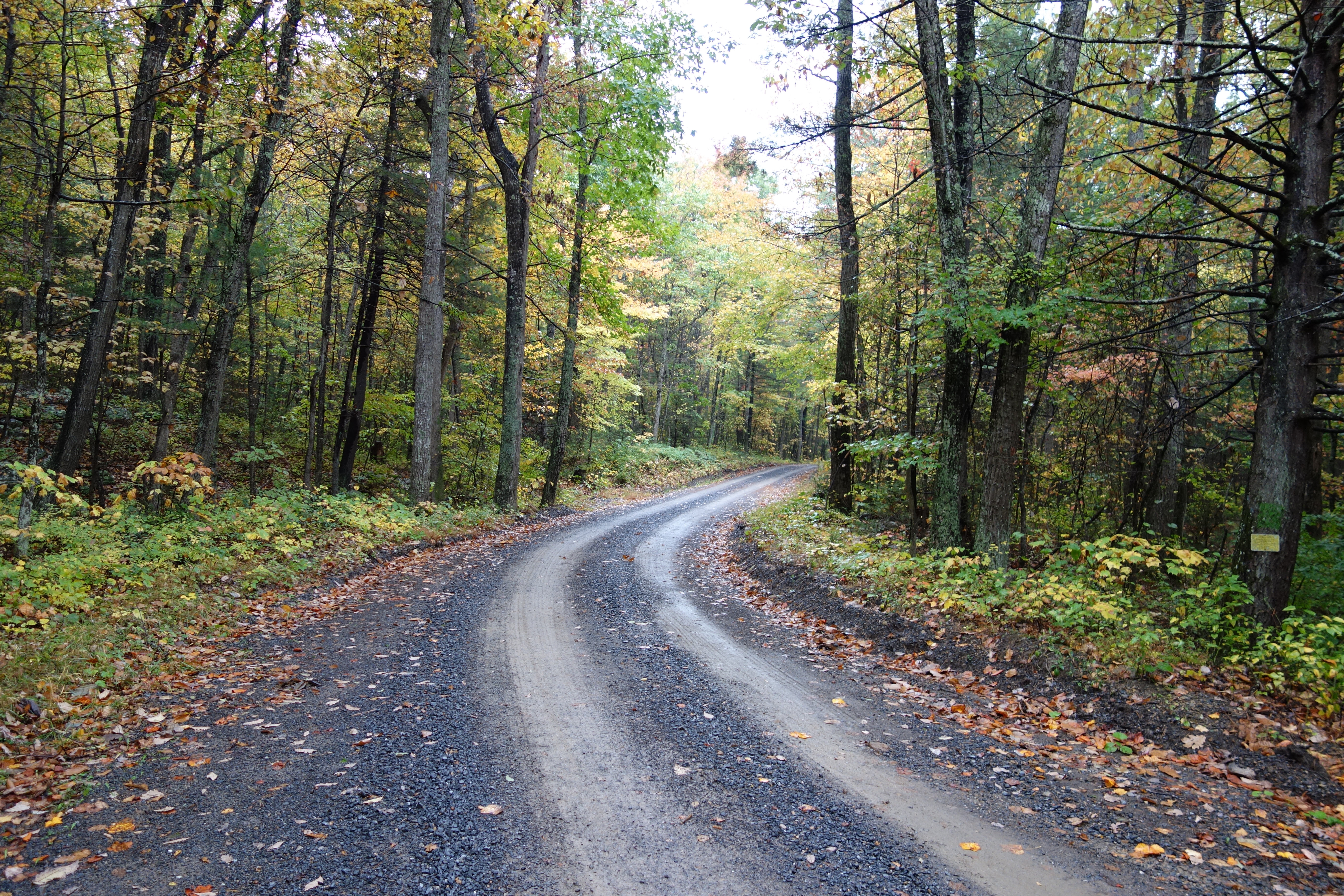
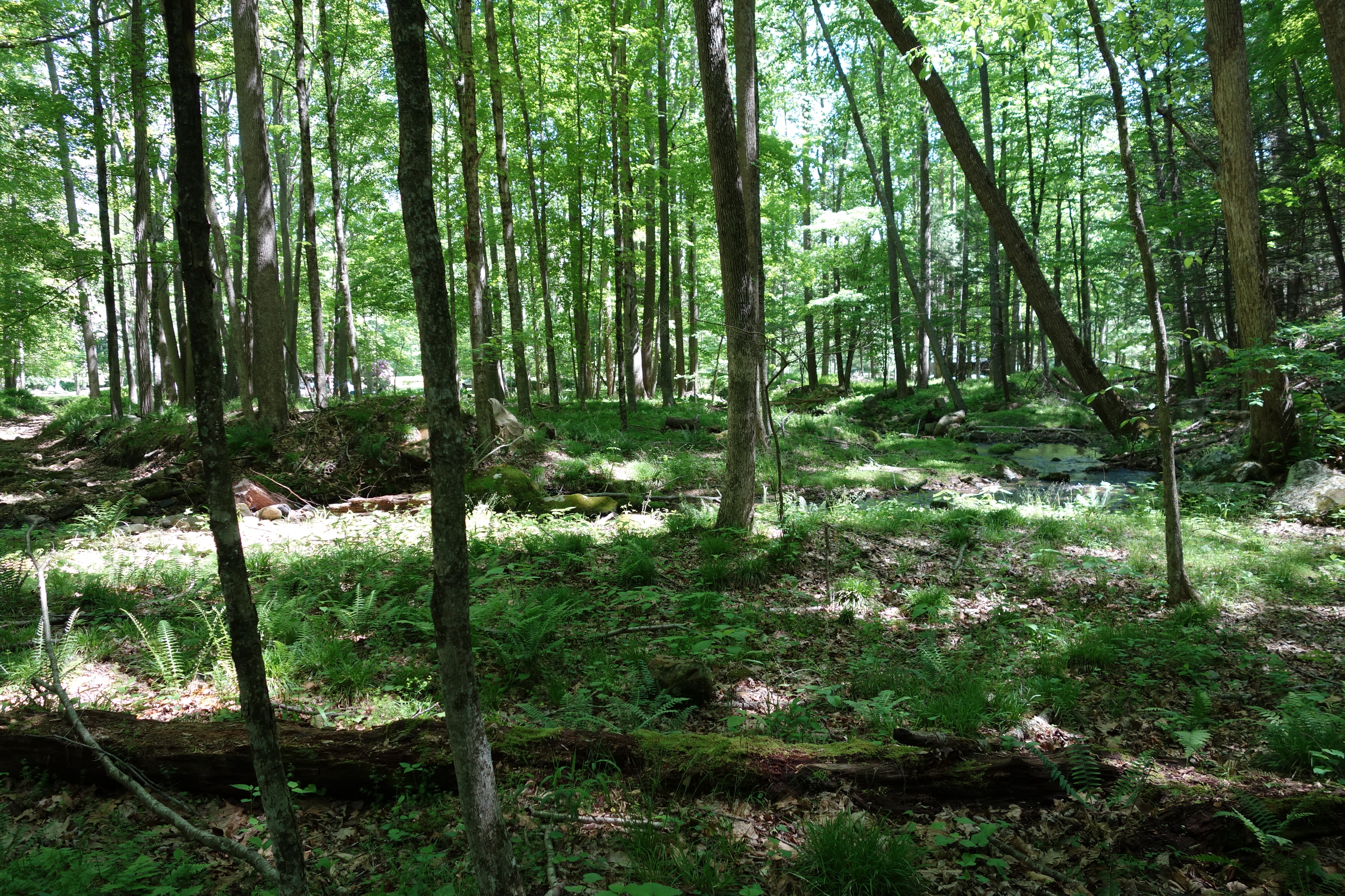
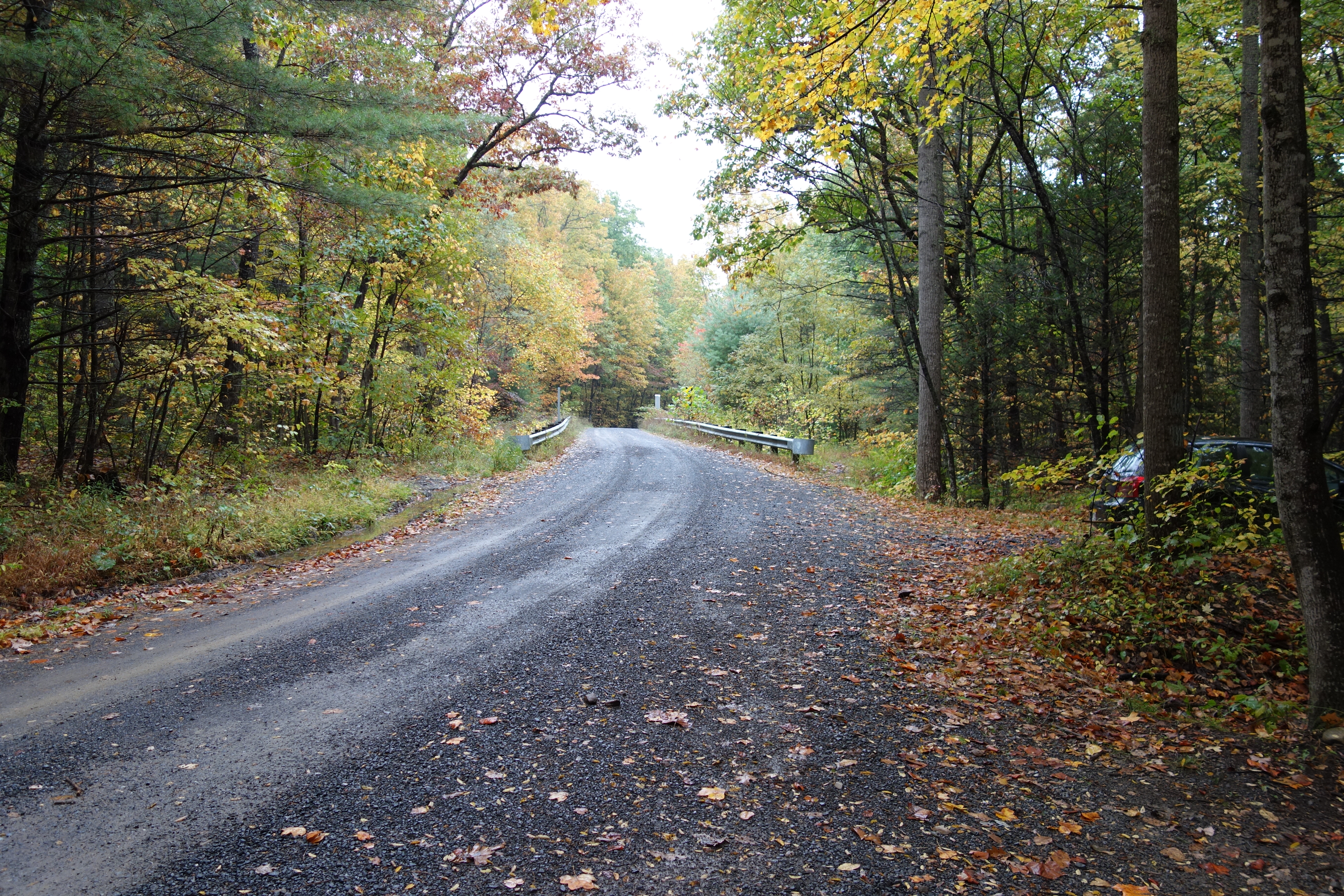
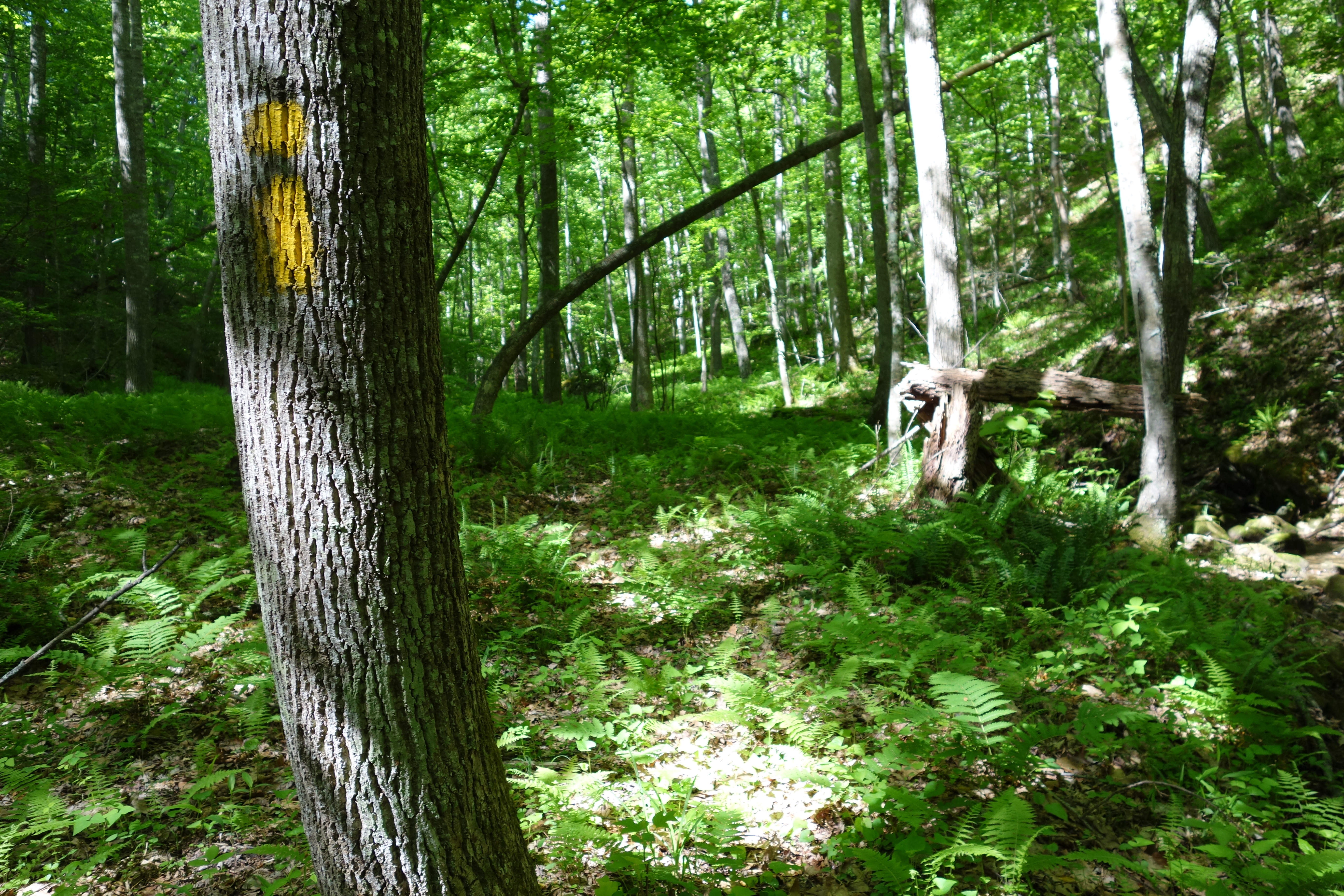
Related Photos:

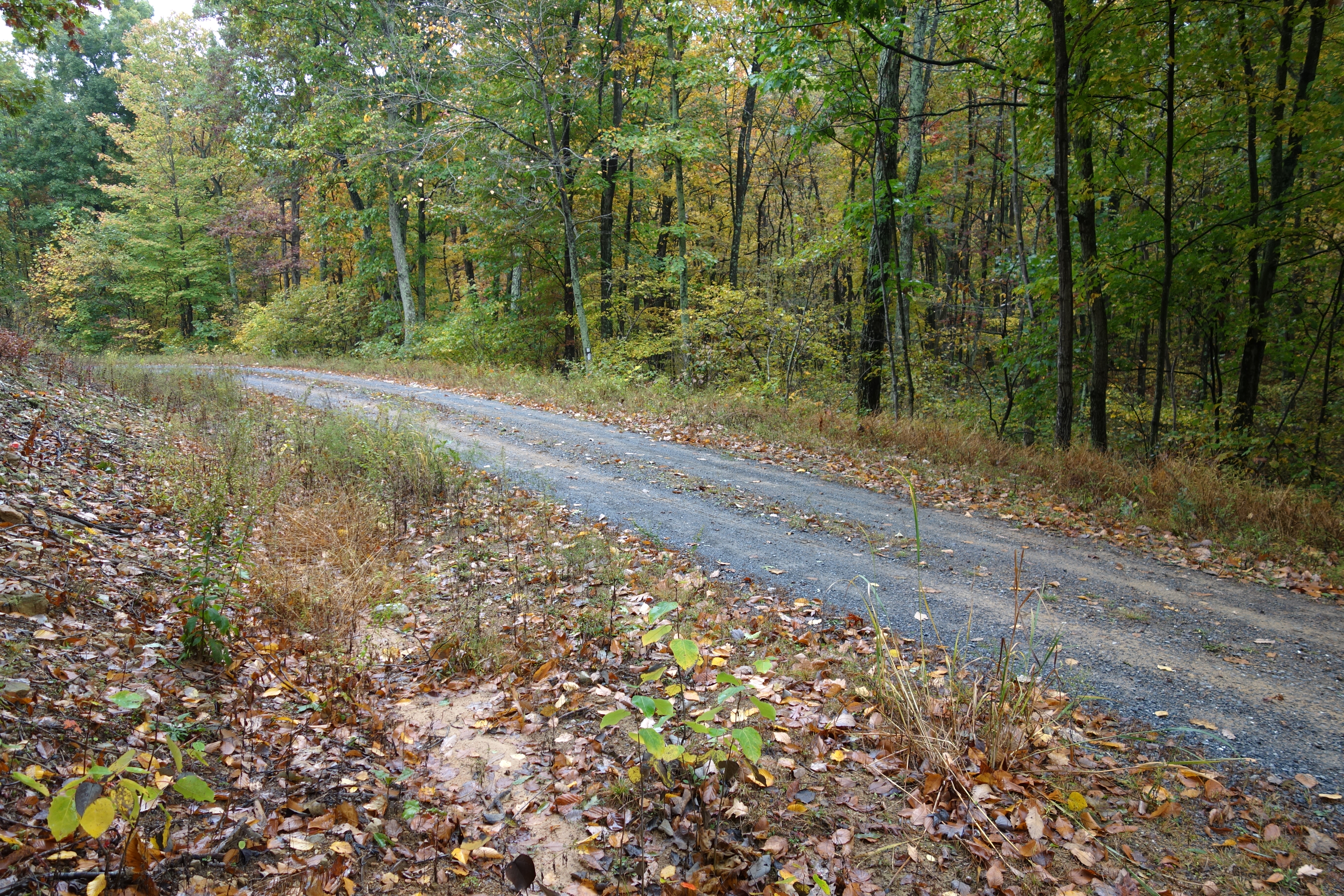
DSC00996 006 Max Spitzer Overlook view
DSC01432 027 View

Taking in the view from the #frontporch of the #oldredstore in #caponsprings
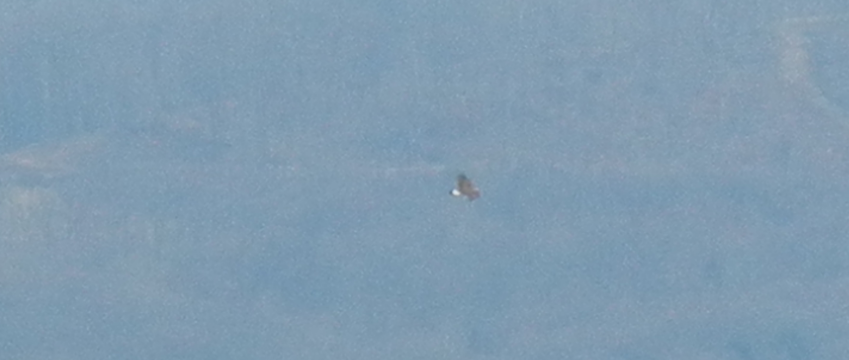
Golden Eagle immature GBBC
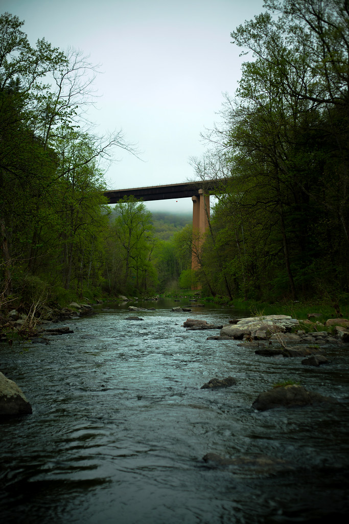
Lost River
DSC02420.JPG
DSC00997 006 Max Spitzer Overlook view

DSC01434 027 View
2016 Big Schloss (9)
2016 Big Schloss (10)
DSC01435 027 View

DSC01433 027 View

DSC01431 027 View

trout run valley, wv
Camera Roll-263
Camera Roll-264

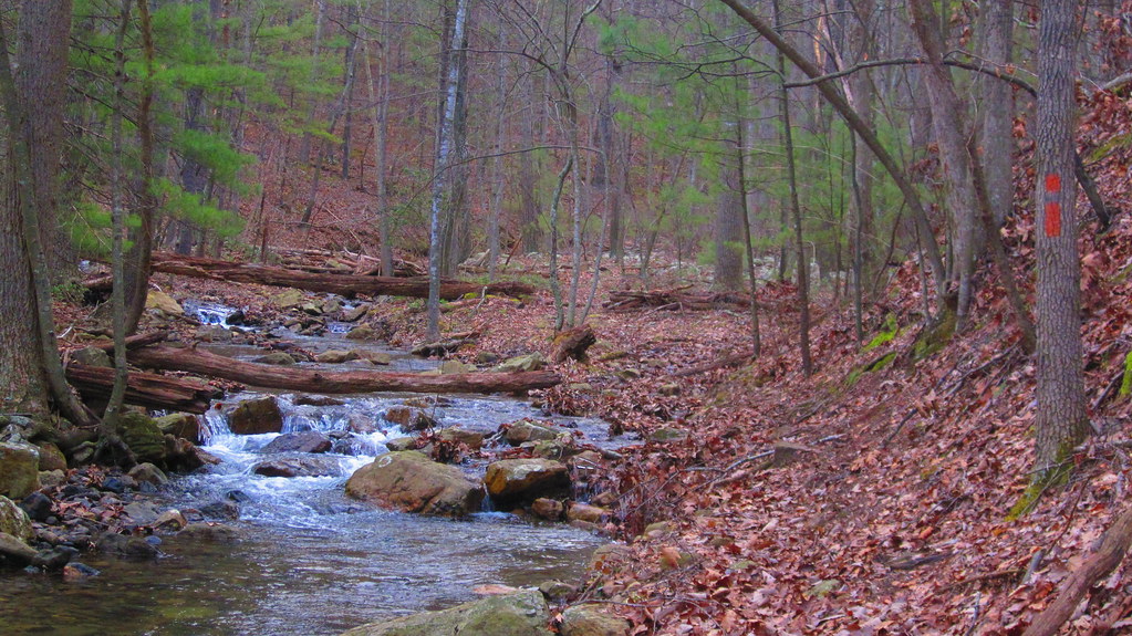
DSC01359 010 Stream Xing
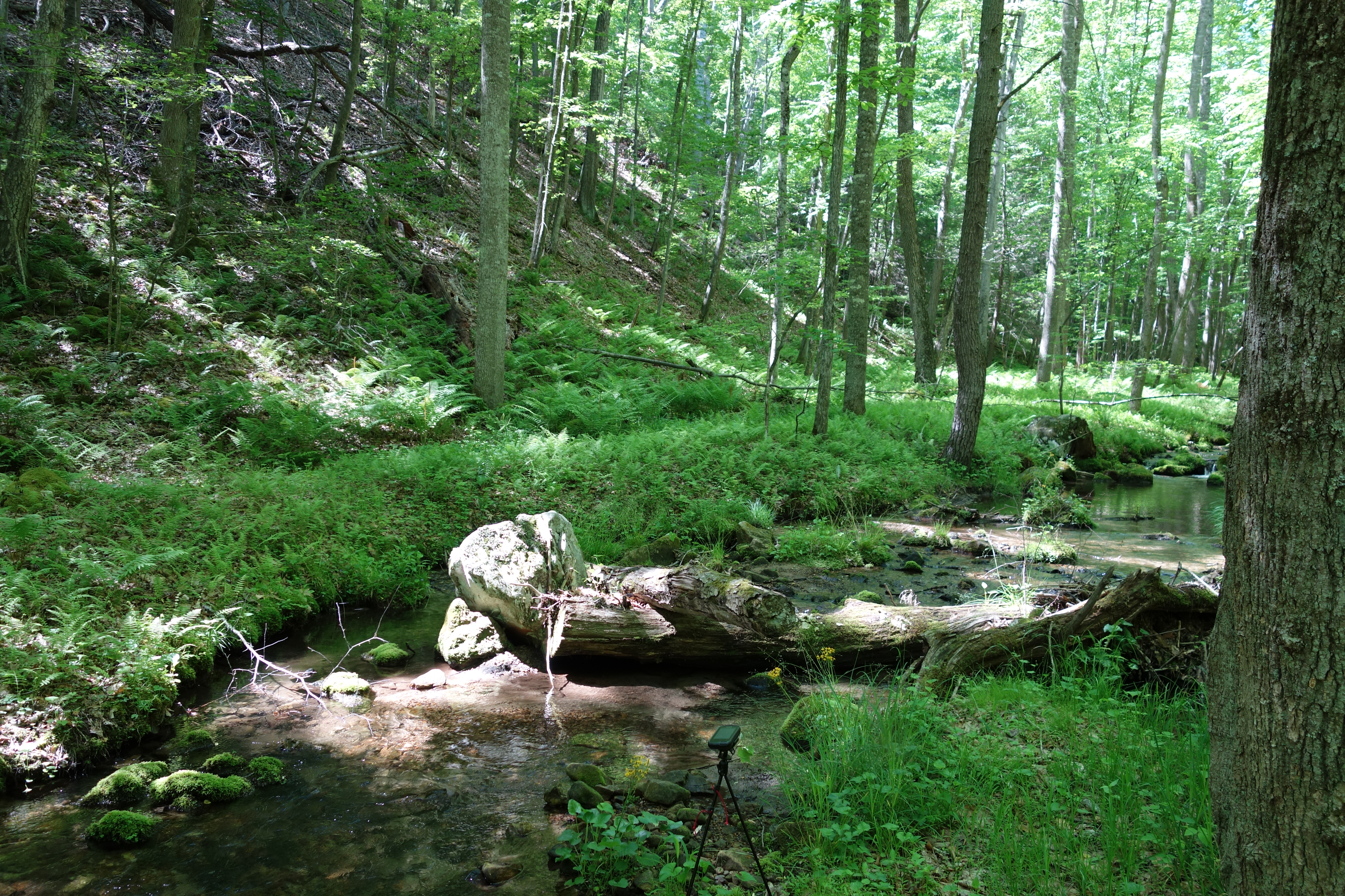
DSC01391 018 Stream Xing
DSC00587 135 TT jct Gander Rock Rd and Waites Run Rd

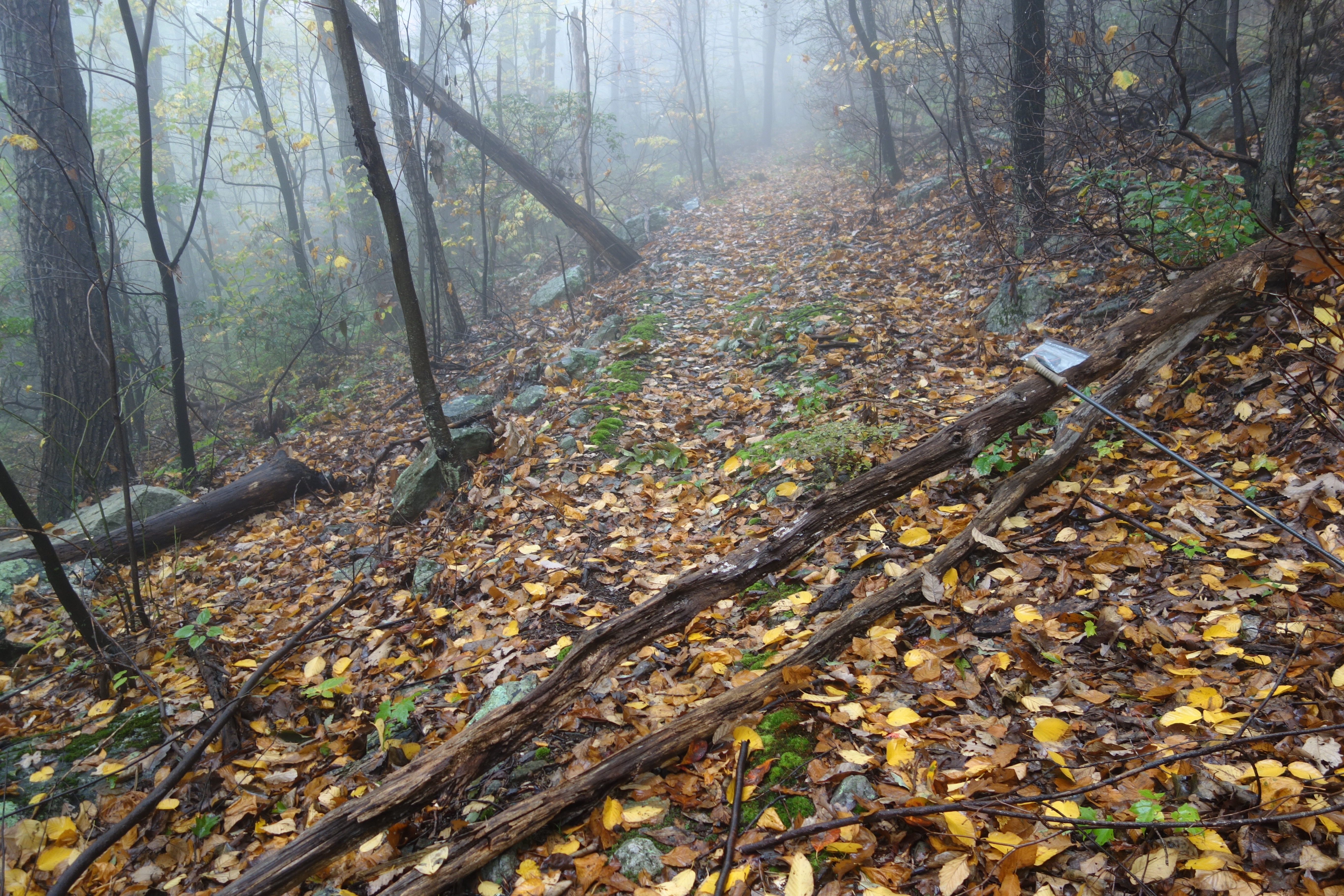
DSC01002 008 Blowdown
DSC01409 021 Bndy Private Land
DSC00584 135 TT jct Gander Rock Rd and Waites Run Rd
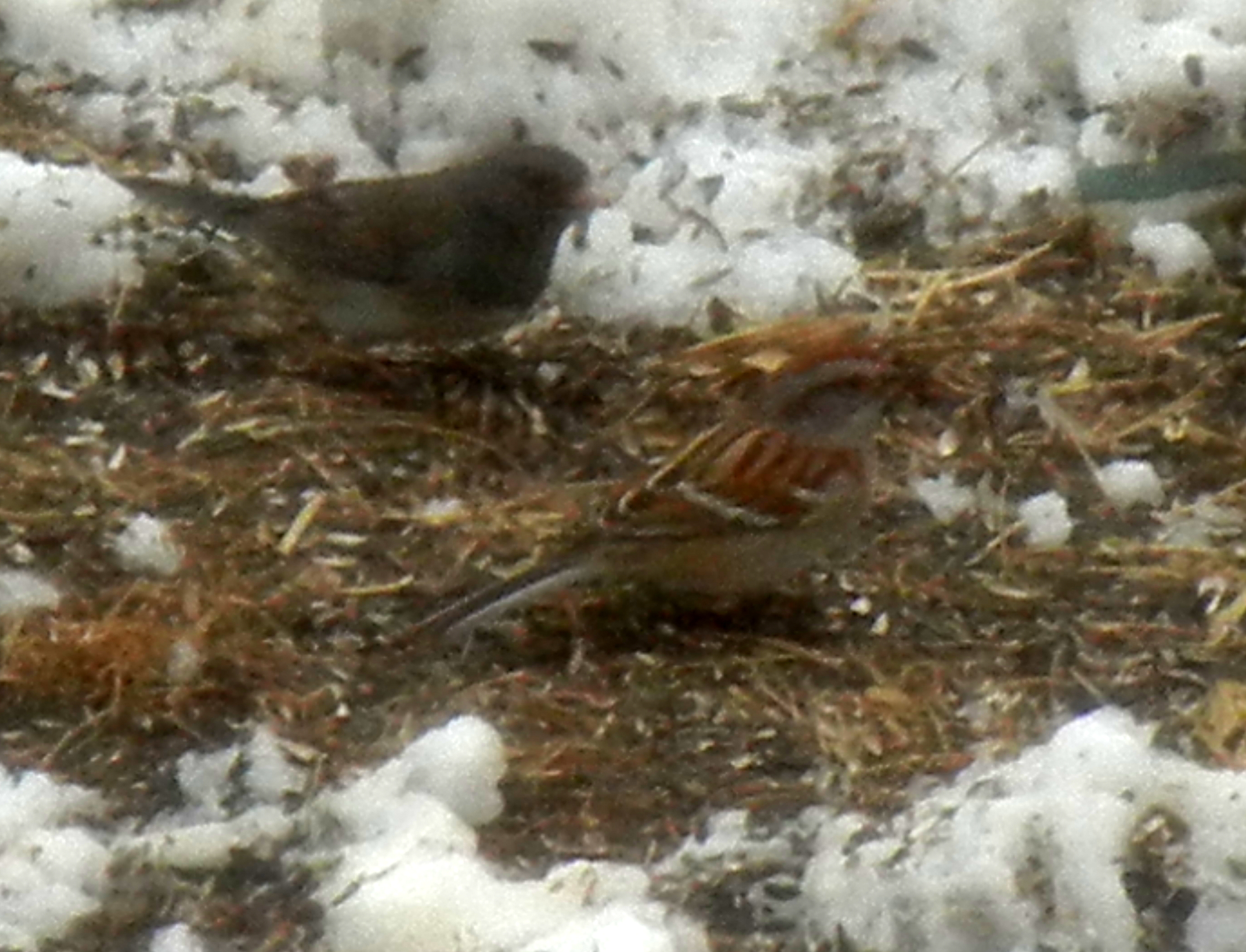
American Tree Sparrow

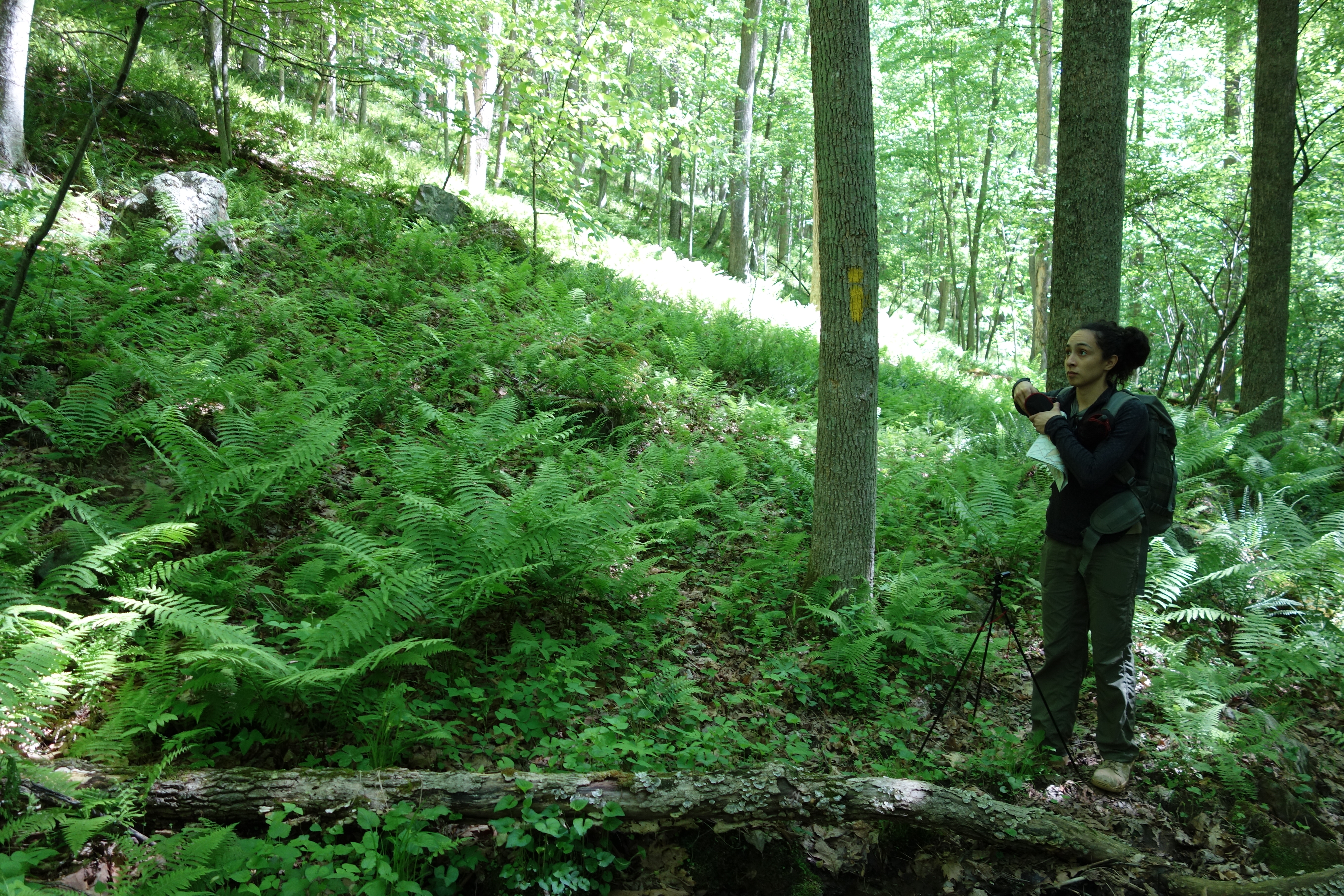
DSC00651 151 Gerhard Shelter Tr jct Spring Tr
DSC01354 009 Stream Xing
DSC00604 140 TT BD

DSC01039 008 Stream xing
DSC01379 015 Stream Xing

DSC01464 003 Stream Xing
halfmoon run
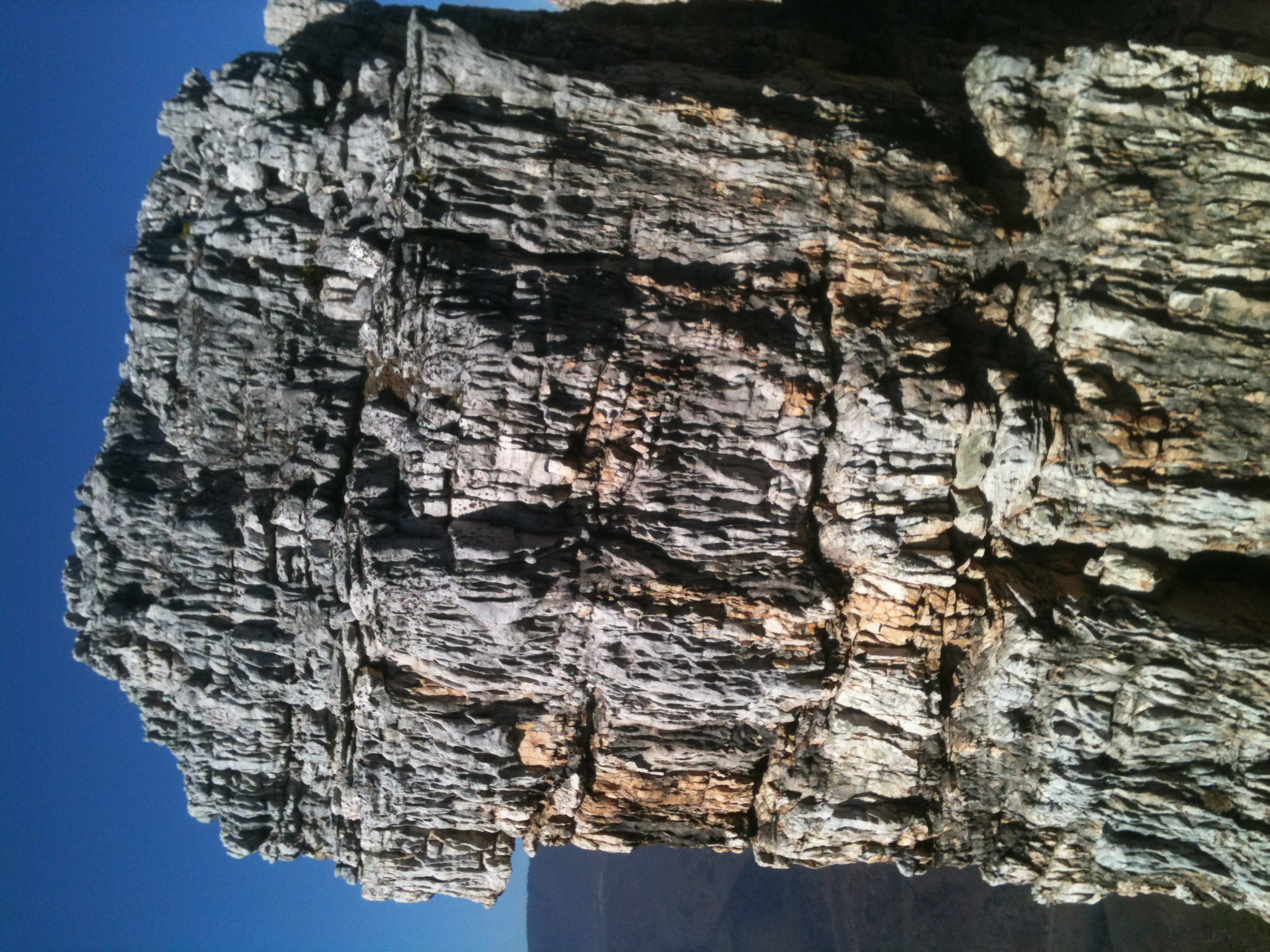
The Chimney itself

DSC01351 008 Stream Xing
DSC00659 153 Gerhard Shelter Tr jct FS 93
Topographic Map of Rio, WV, USA
Find elevation by address:

Places near Rio, WV, USA:
10000 Wv-29
4671 Co Rte 3/1
4671 Co Rte 3/1
1608 County Rte 53
Deep Woods Run
Paul's Woods Road
1235 Lost River Ridge Cir
999 Lost River Ridge Cir
999 Lost River Ridge Cir
999 Lost River Ridge Cir
Capon
1874 Lower Arkansaw Rd
553 Warden Lake A B Dr
South Lick Run Road
South Lick Run Road
Kirby
902 Warden Hollow West Rd
Delray
1379 Co Rte 23/10
2631 Trout Run Rd
Recent Searches:
- Elevation of Congressional Dr, Stevensville, MD, USA
- Elevation of Bellview Rd, McLean, VA, USA
- Elevation of Stage Island Rd, Chatham, MA, USA
- Elevation of Shibuya Scramble Crossing, 21 Udagawacho, Shibuya City, Tokyo -, Japan
- Elevation of Jadagoniai, Kaunas District Municipality, Lithuania
- Elevation of Pagonija rock, Kranto 7-oji g. 8"N, Kaunas, Lithuania
- Elevation of Co Rd 87, Jamestown, CO, USA
- Elevation of Tenjo, Cundinamarca, Colombia
- Elevation of Côte-des-Neiges, Montreal, QC H4A 3J6, Canada
- Elevation of Bobcat Dr, Helena, MT, USA