Elevation of Lost River Ridge Cir, Wardensville, WV, USA
Location: United States > West Virginia > Hardy County > Capon > Wardensville >
Longitude: -78.648094
Latitude: 39.0903468
Elevation: 521m / 1709feet
Barometric Pressure: 95KPa
Elevation Map:
Satellite Map:
Related Photos:
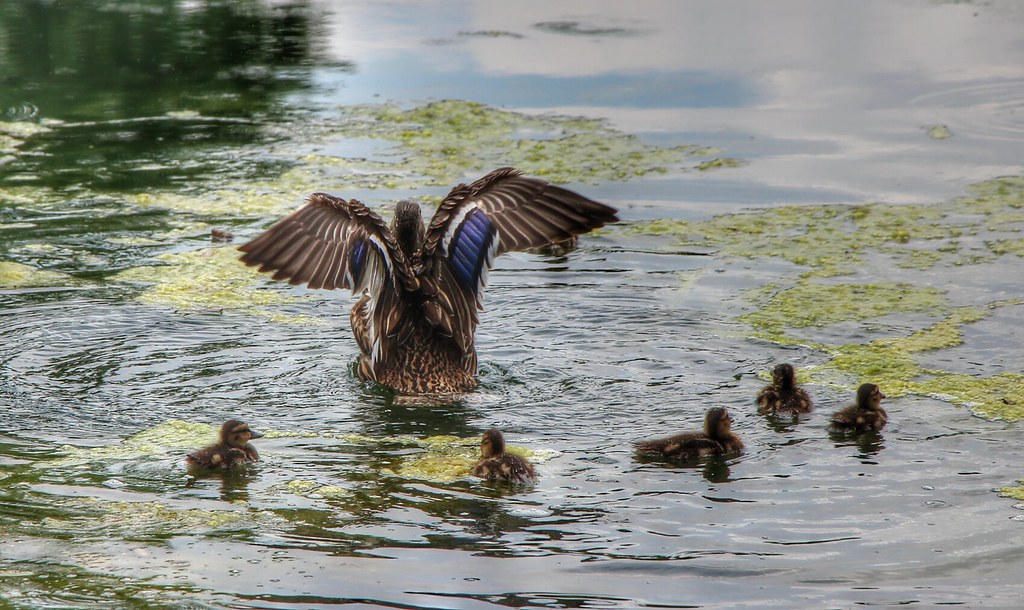
The view around the pond at Winchester Medical Center

The view around the pond at Winchester Medical Center

The view around the pond at Winchester Medical Center
DSC01435 027 View
DSC01432 027 View

View from Boonesboro Washington Monument

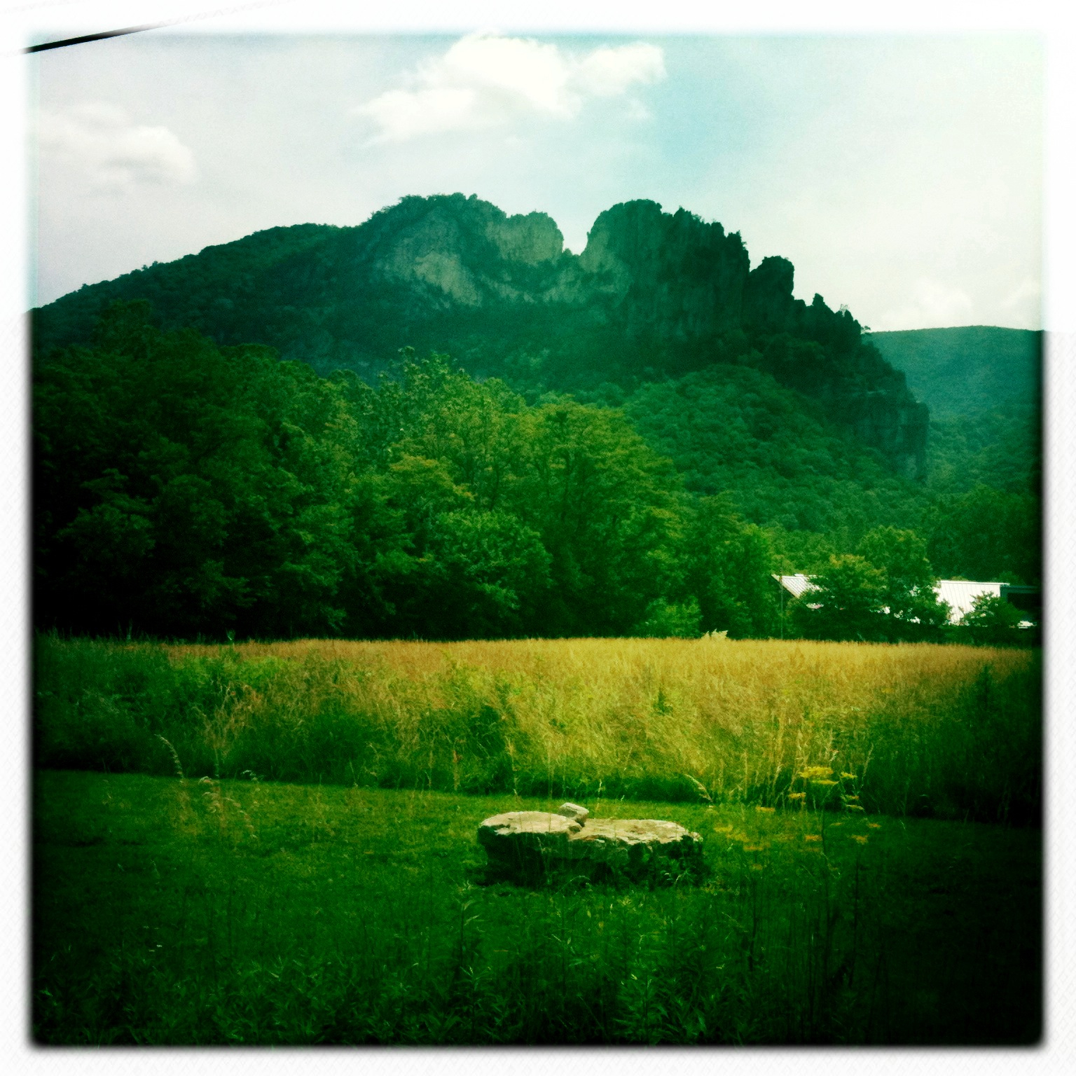
View from Black Rock

Taking in the view from the #frontporch of the #oldredstore in #caponsprings

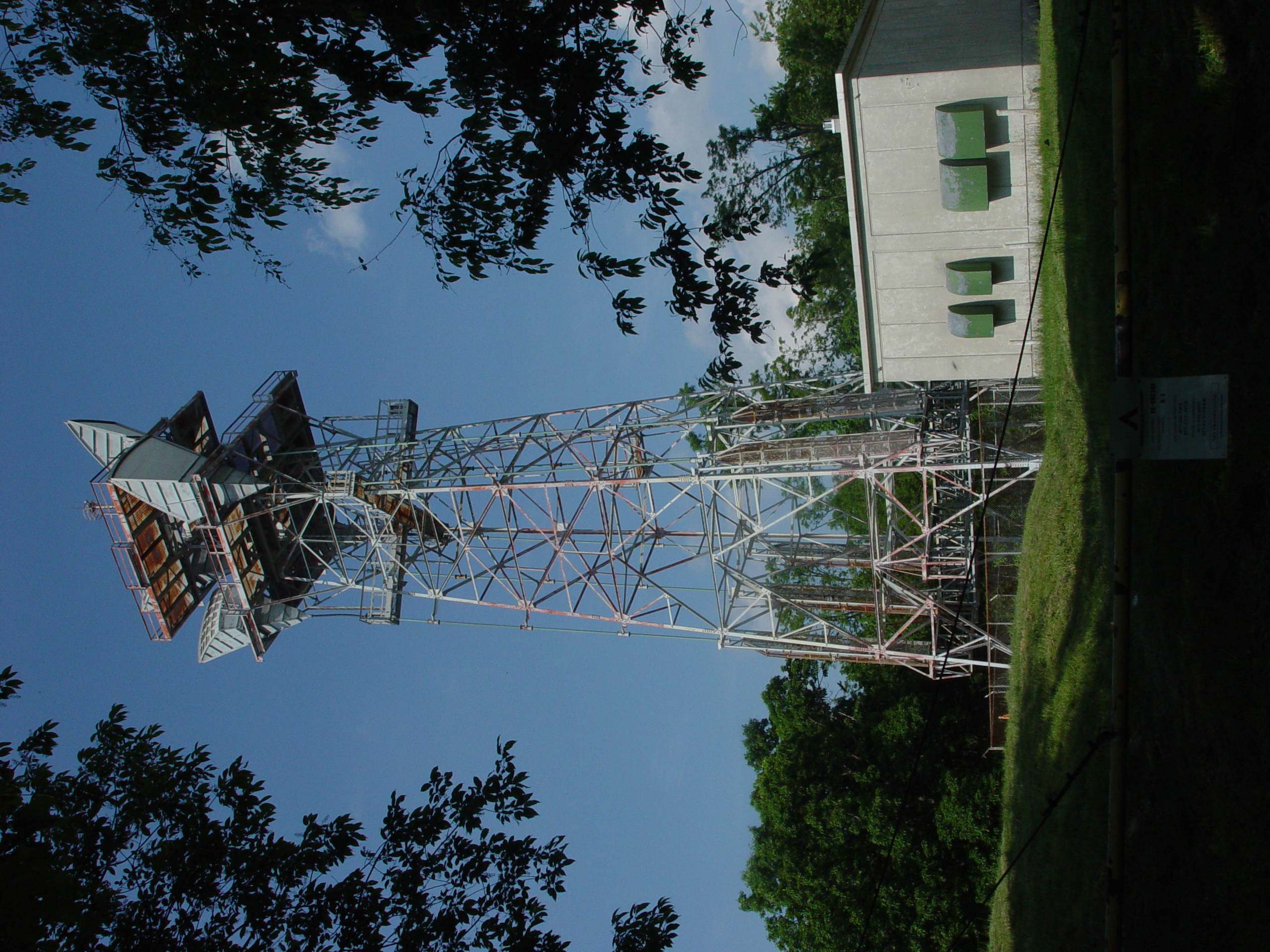
Van Buren Furnace No. 1 - View from loading ramp, Aug. 27, 1963

The view around the pond at Winchester Medical Center
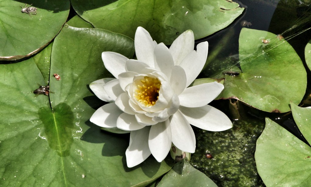
Lost River
Golden Eagle immature GBBC
The view around the pond at Winchester Medical Center

View from Boonesboro Washington Monument

View from Black Rock

The #morning #panorama #view from the #cottage @ #caponsprings

The view around the pond at Winchester Medical Center

The view around the pond at Winchester Medical Center

DSC01433 027 View

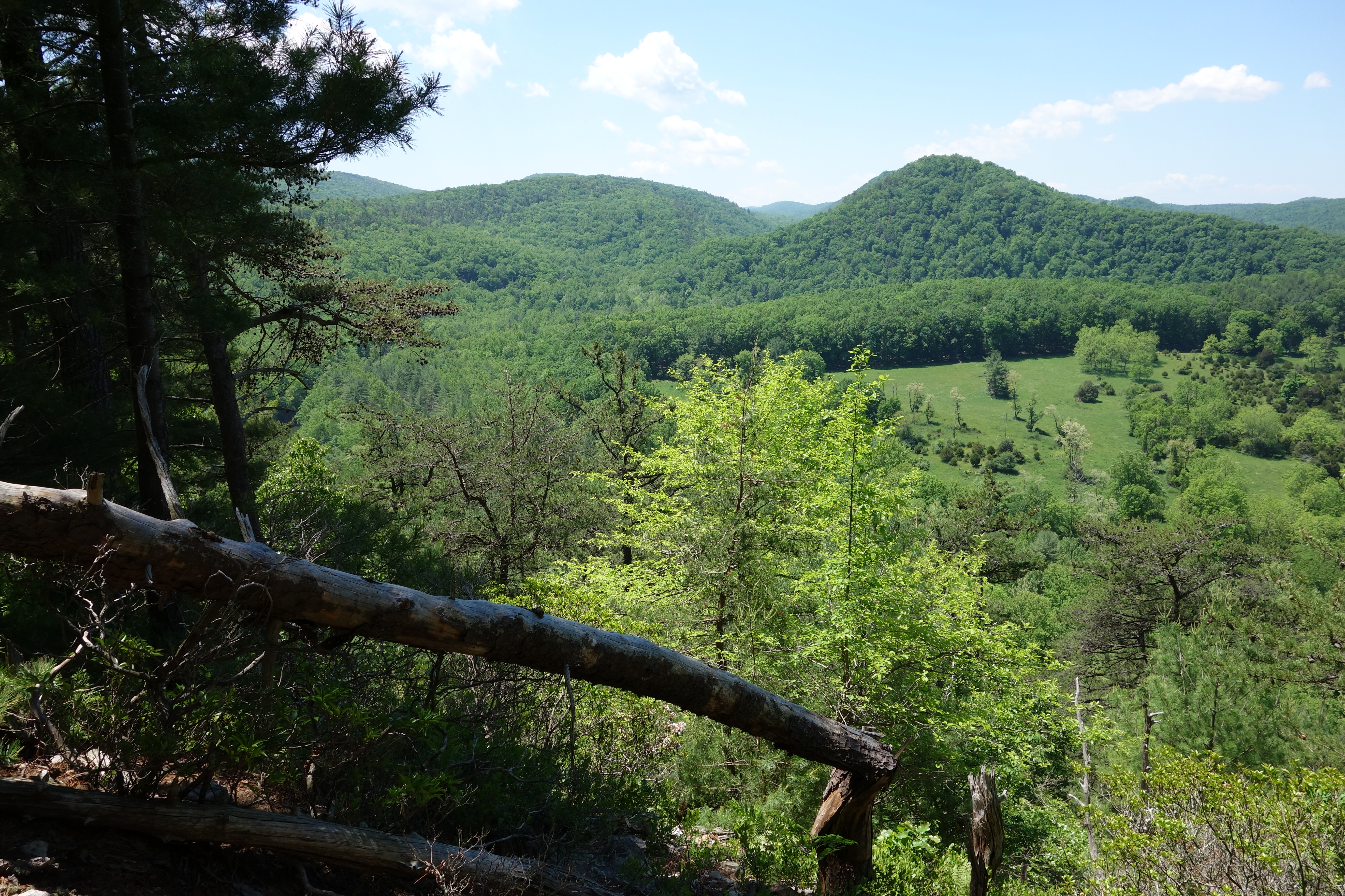
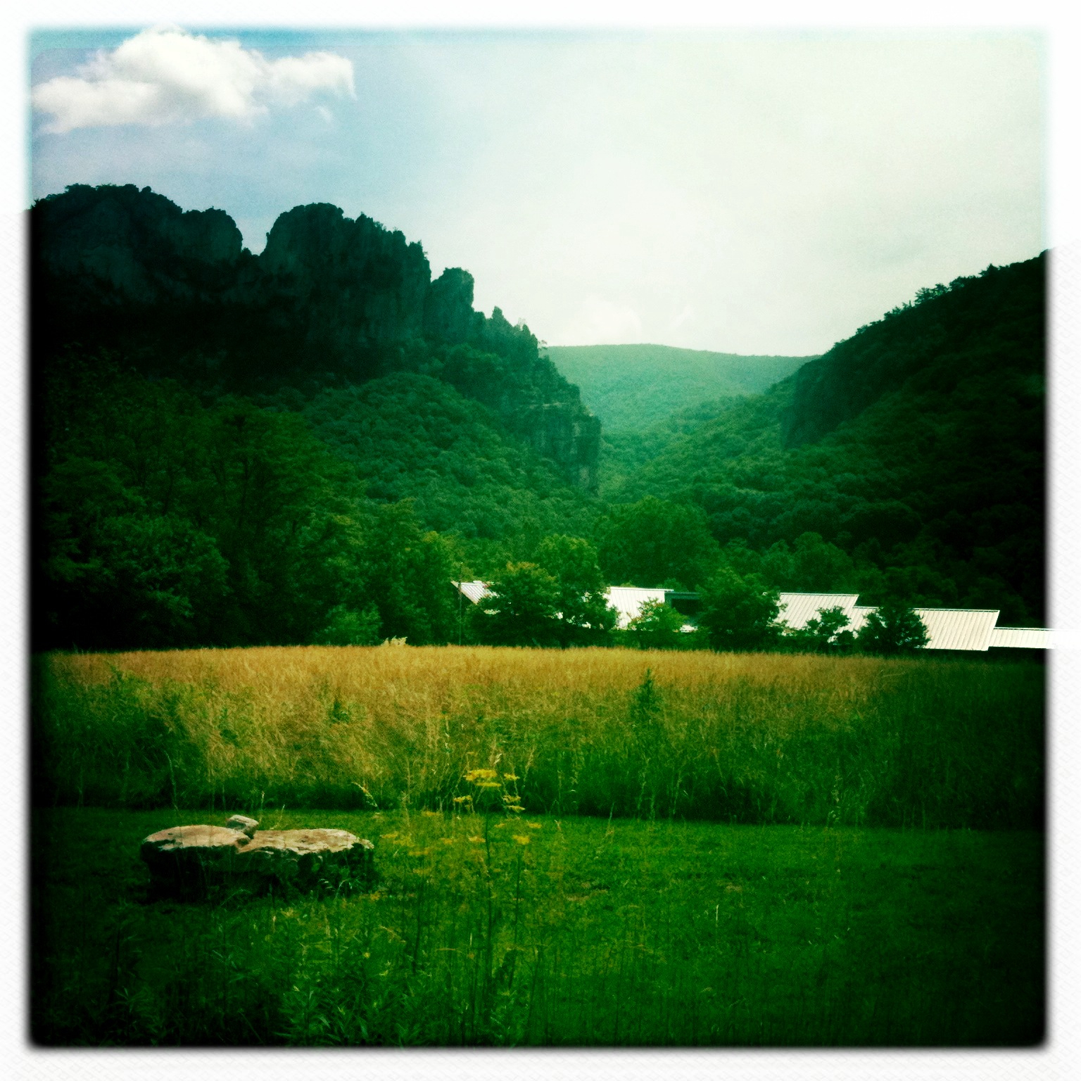
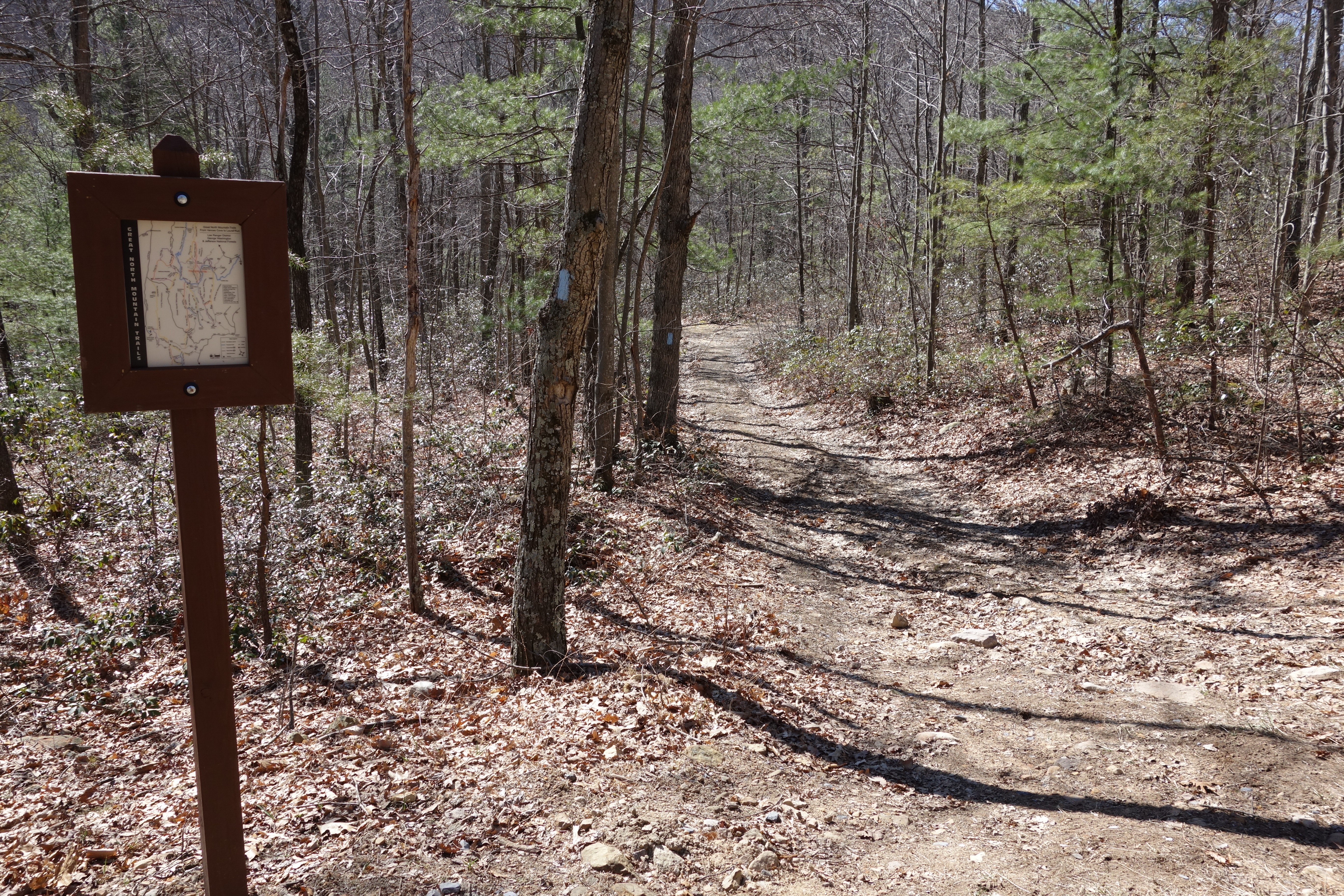
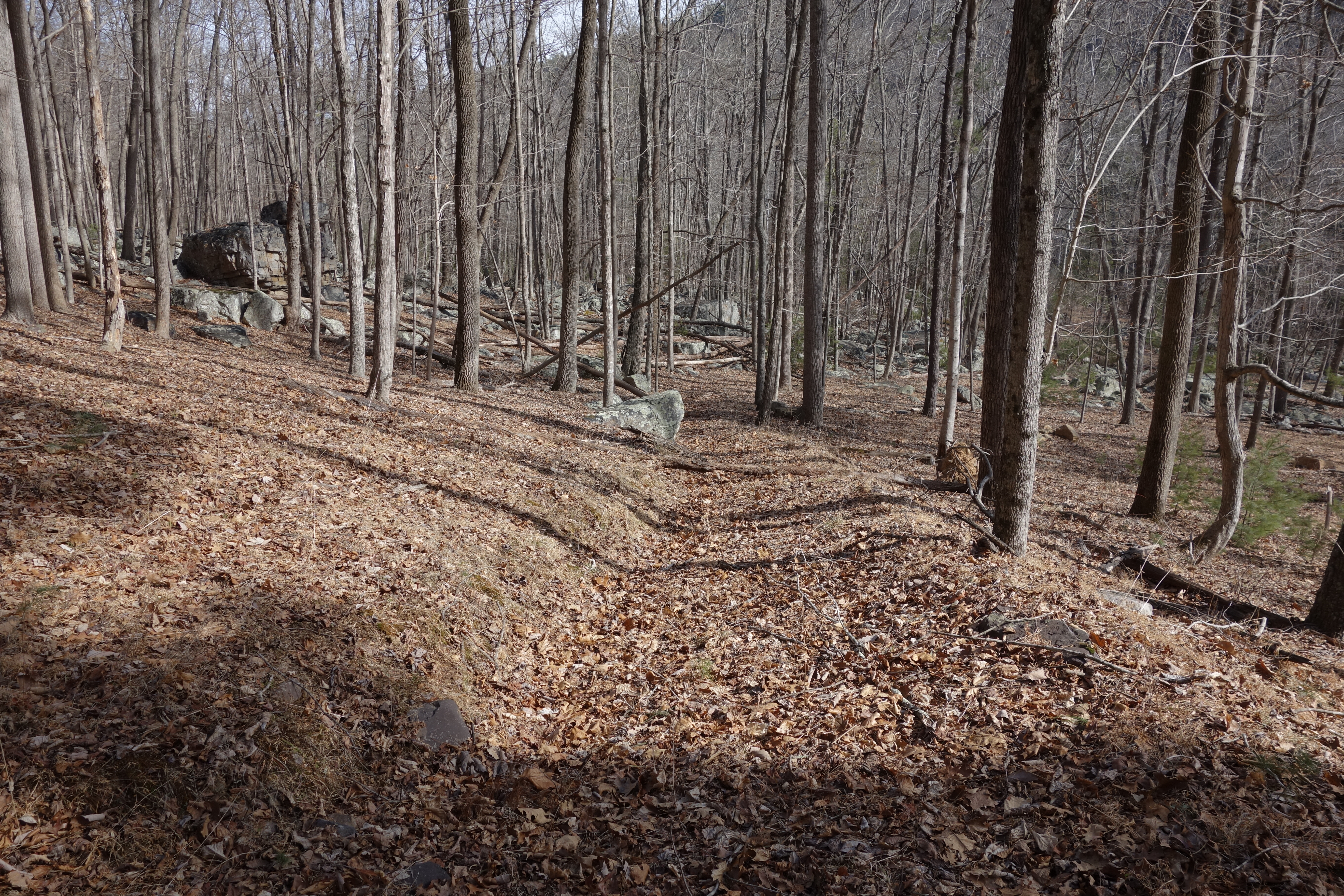
Trout Run Valley
DSC02420.JPG

trout run valley, wv
Camera Roll-263
Camera Roll-264

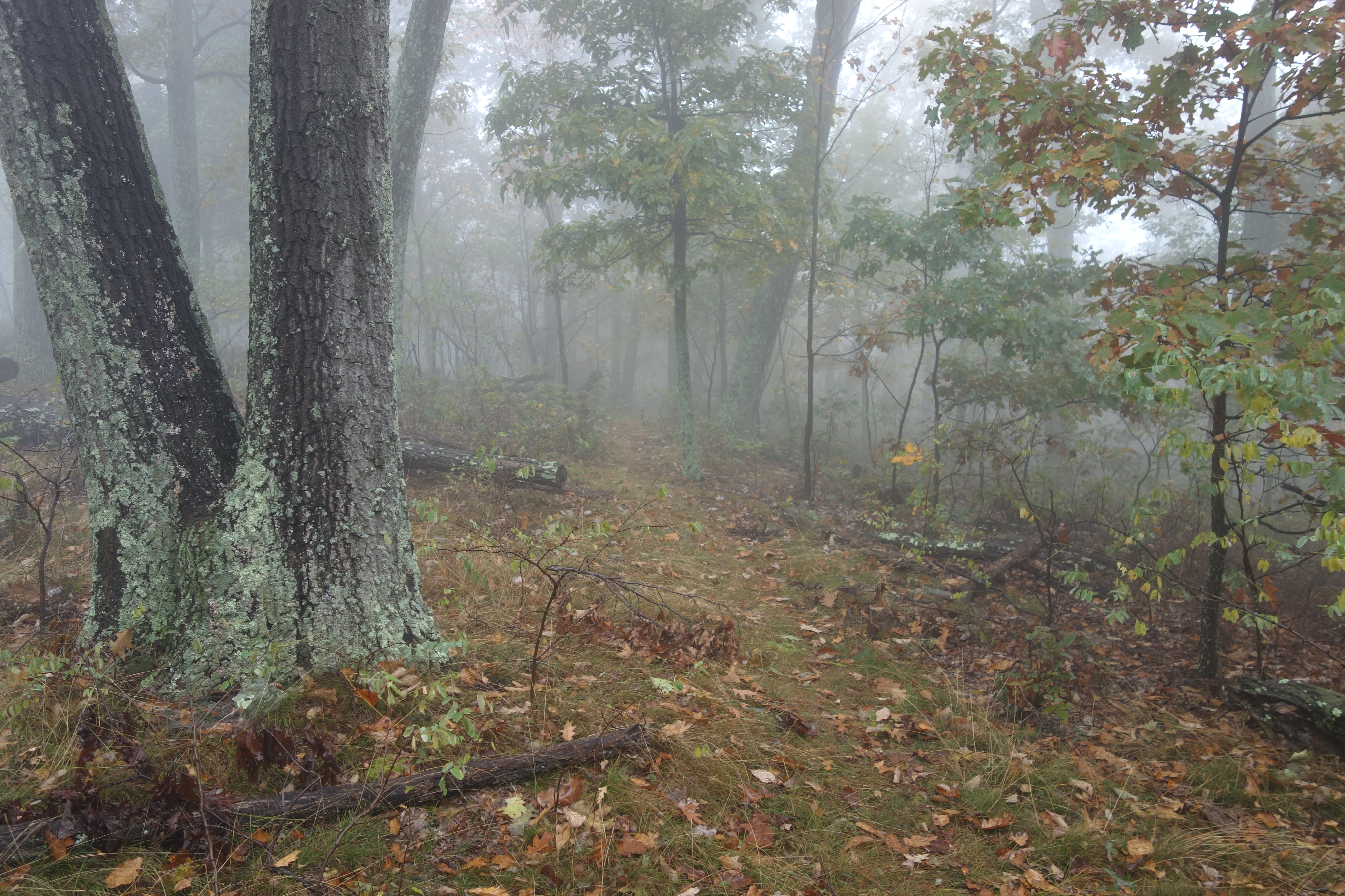
Clouds rolling through the gap
Shrouded By The Brush

DSC00670 004 Jct Big Schloss Ctof and Mill Mtn Tr

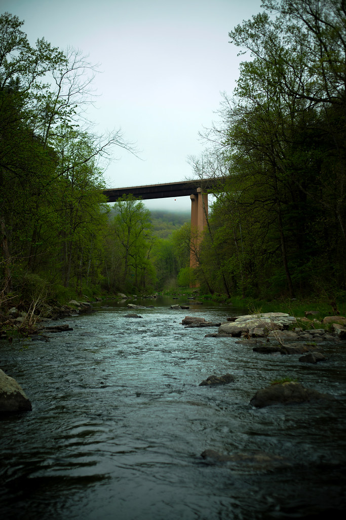
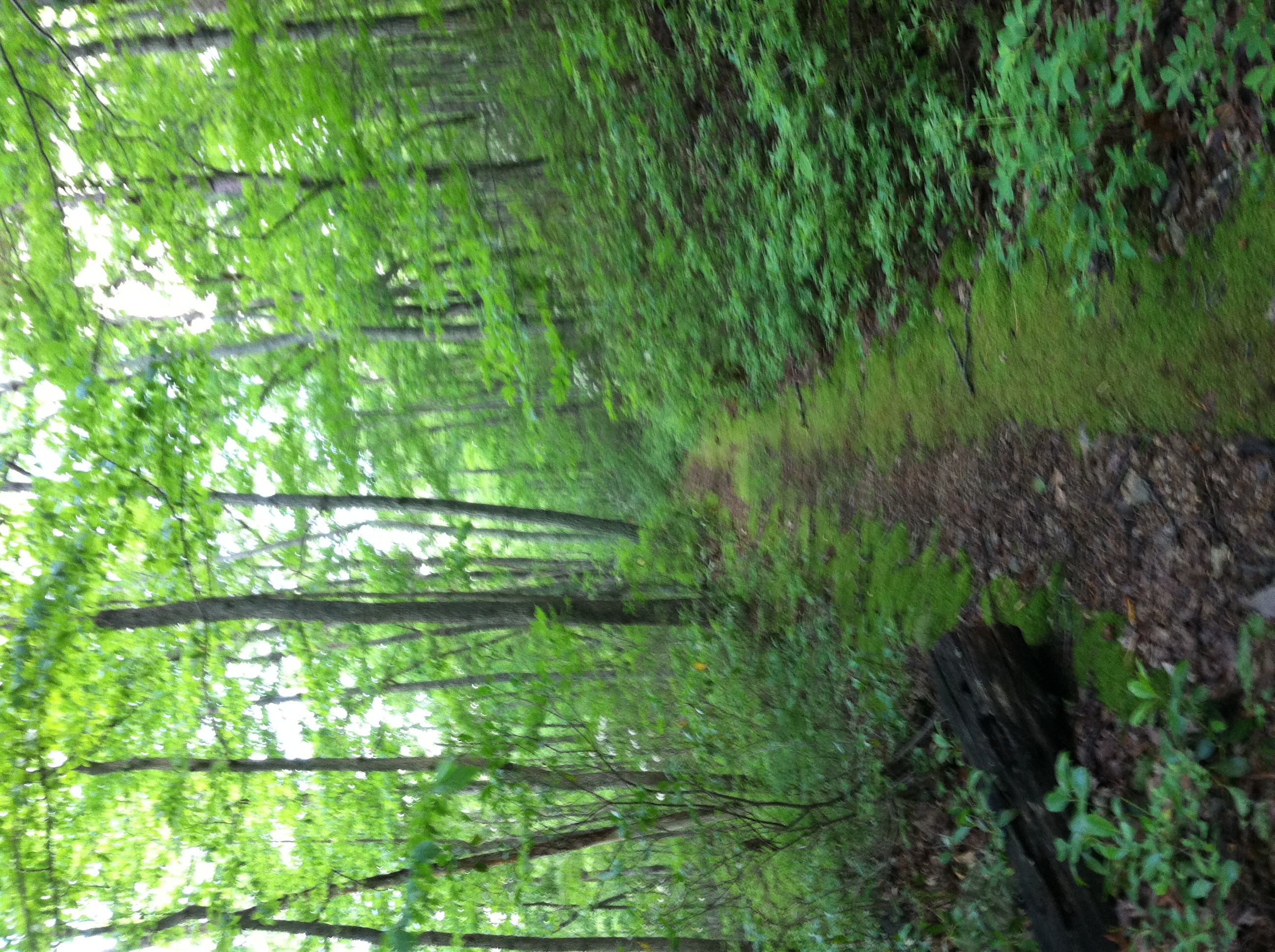
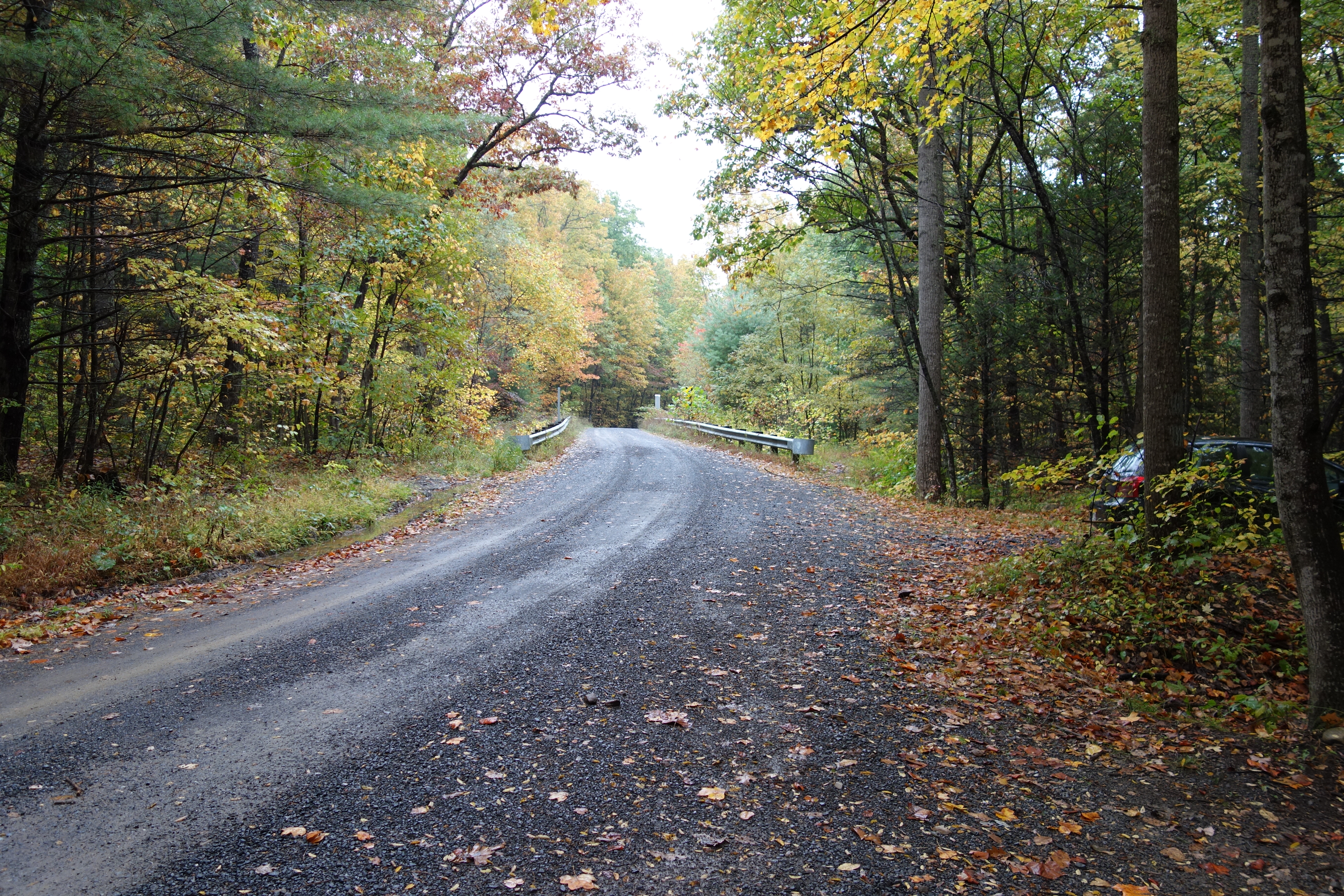
The First Bridge
DSC00649 150 TT jct Gerhard Shelter Tr
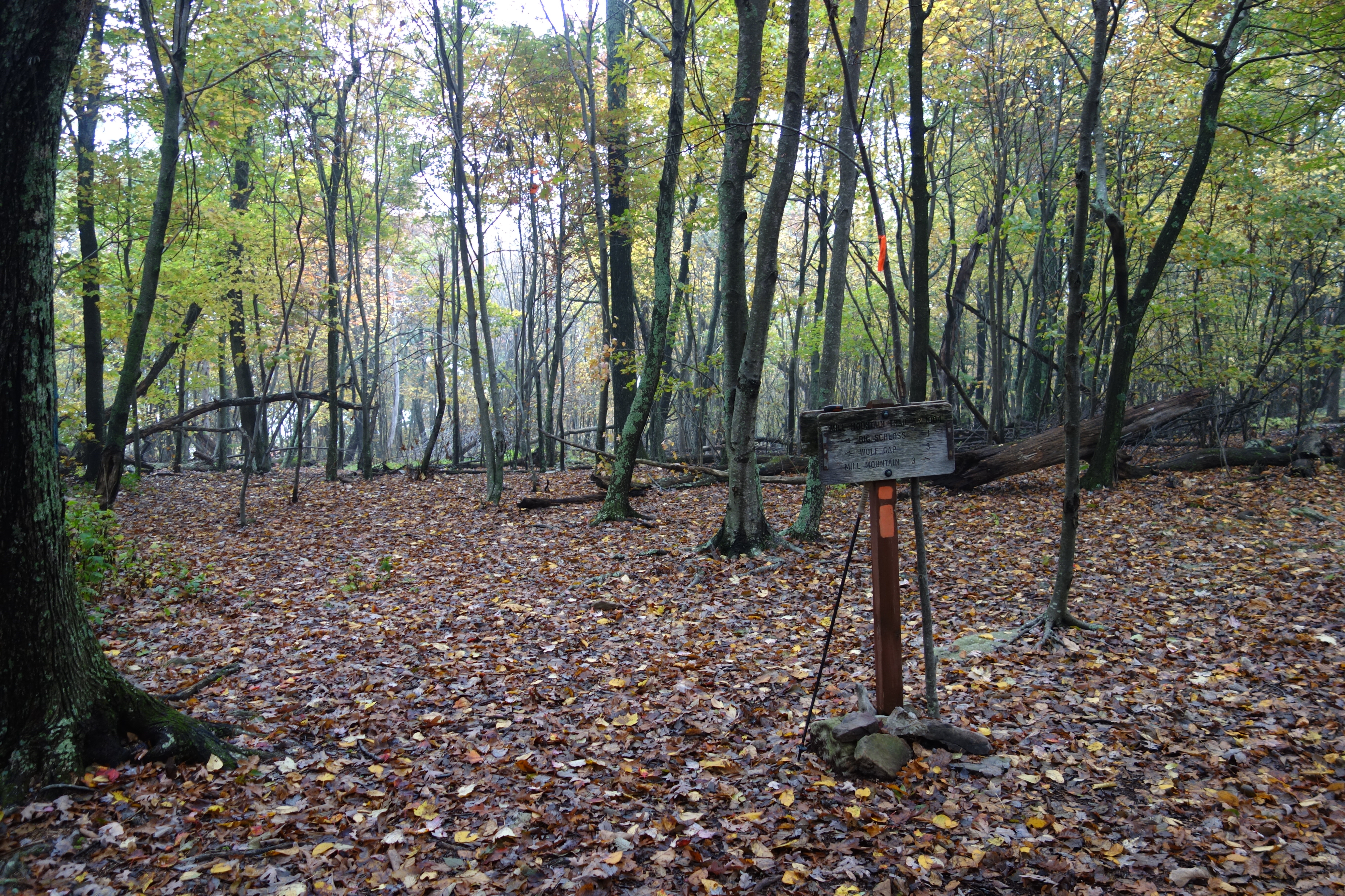
DSC00672 004 Jct Big Schloss Ctof and Mill Mtn Tr
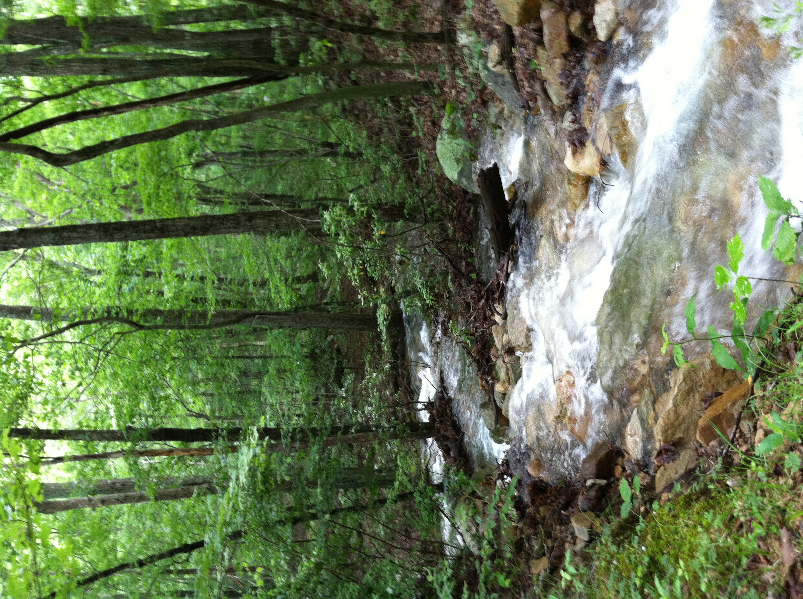
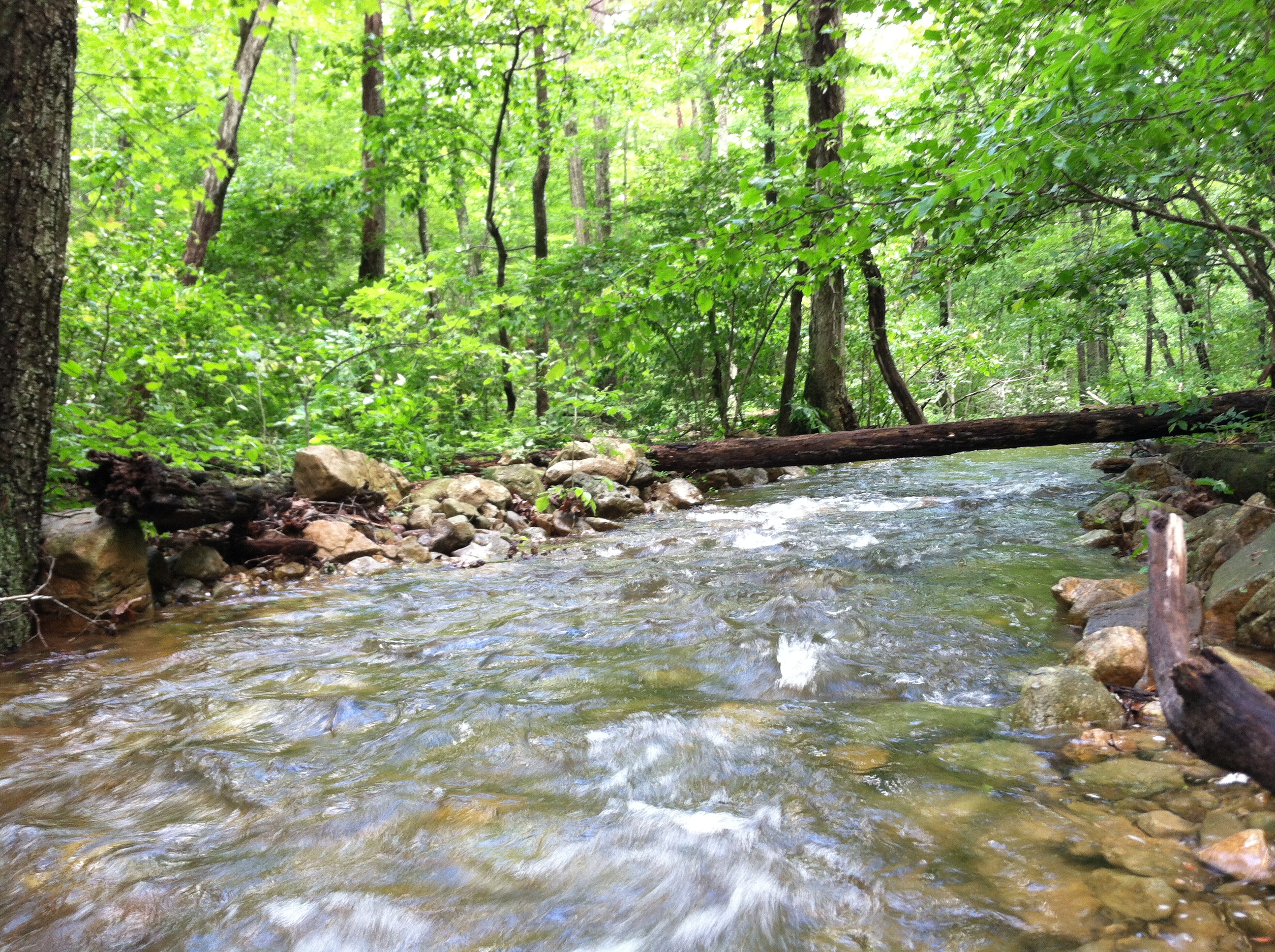
Screamin' Stream
DSC01115 003 Jct FDR 1863 and TT facing east
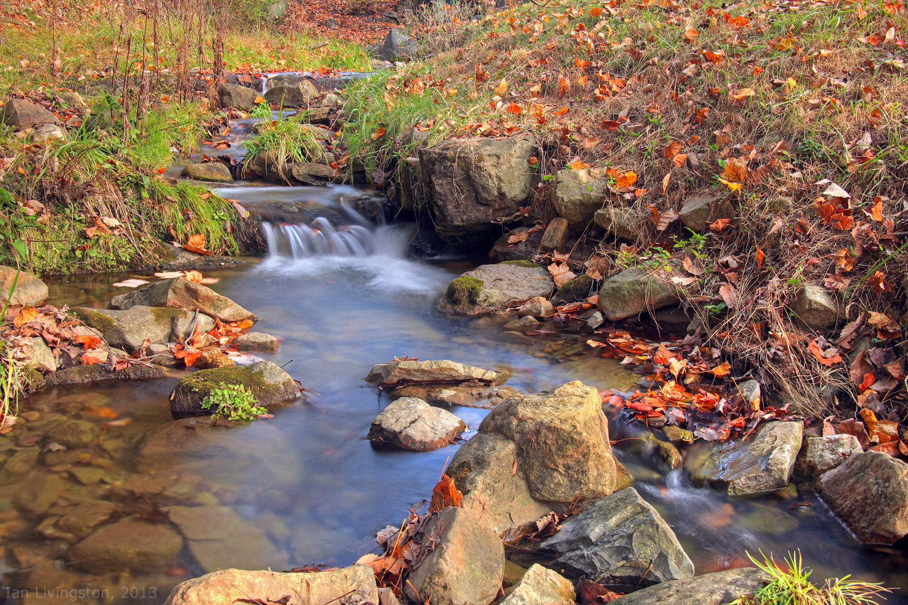
Fall at the creek within Capon Springs and Farms
DSC00594 137 TT jct Gander Rock Rd

Sunrise at White Rock Cliff
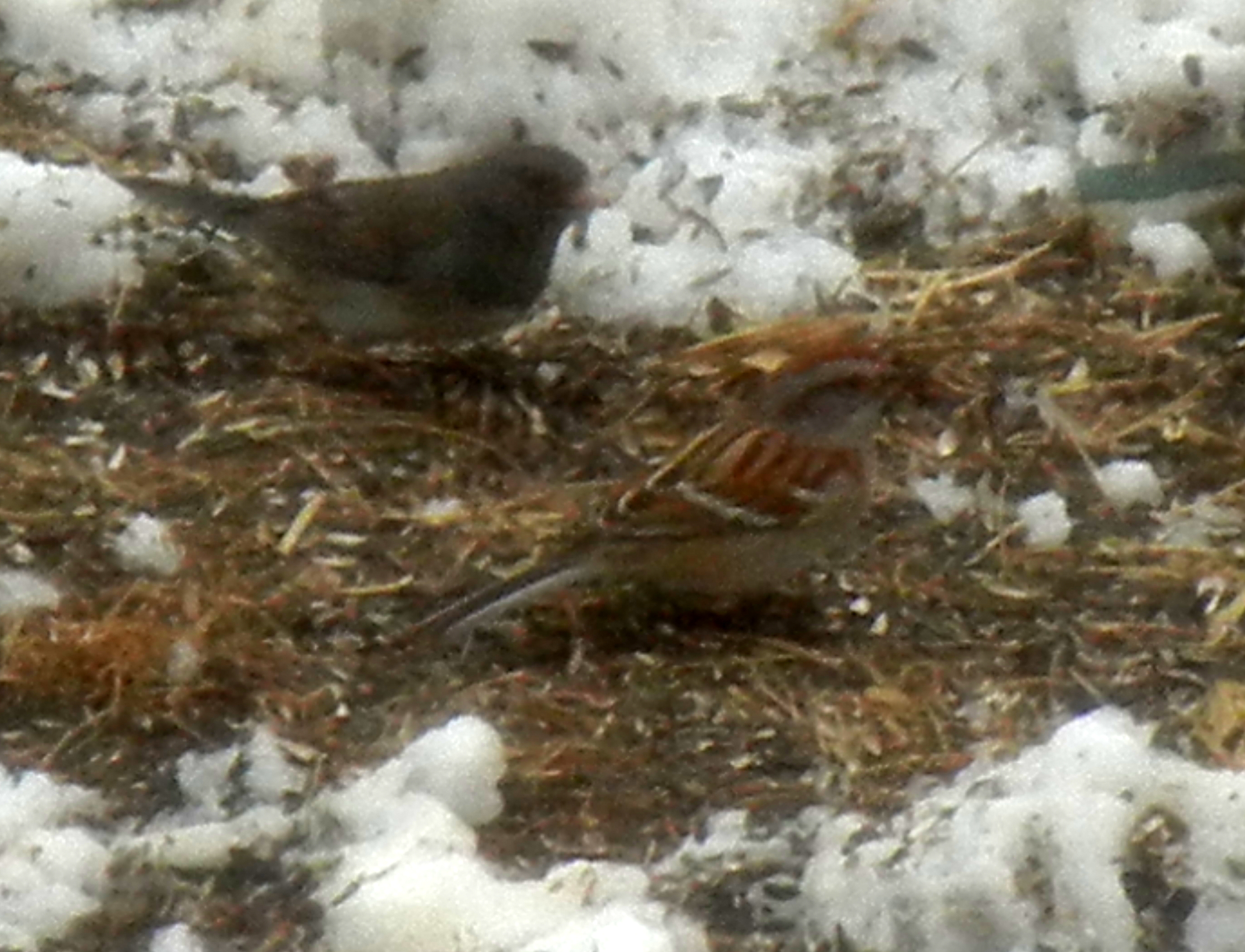
American Tree Sparrow
DSC00584 135 TT jct Gander Rock Rd and Waites Run Rd
Cedar Creek
DSC00974 005 Utility Tr near Squirrel Gap Tr Old Rte 55

DSC01125 006 stream xing
DSC00587 135 TT jct Gander Rock Rd and Waites Run Rd

DSC00651 151 Gerhard Shelter Tr jct Spring Tr
Topographic Map of Lost River Ridge Cir, Wardensville, WV, USA
Find elevation by address:

Places near Lost River Ridge Cir, Wardensville, WV, USA:
999 Lost River Ridge Cir
999 Lost River Ridge Cir
1235 Lost River Ridge Cir
Capon
2631 Trout Run Rd
1379 Co Rte 23/10
Wardensville
Rio
70 W Main St
70 W Main St
70 W Main St
15 W Main St
902 Warden Hollow West Rd
4671 Co Rte 3/1
4671 Co Rte 3/1
10000 Wv-29
553 Warden Lake A B Dr
1874 Lower Arkansaw Rd
1608 County Rte 53
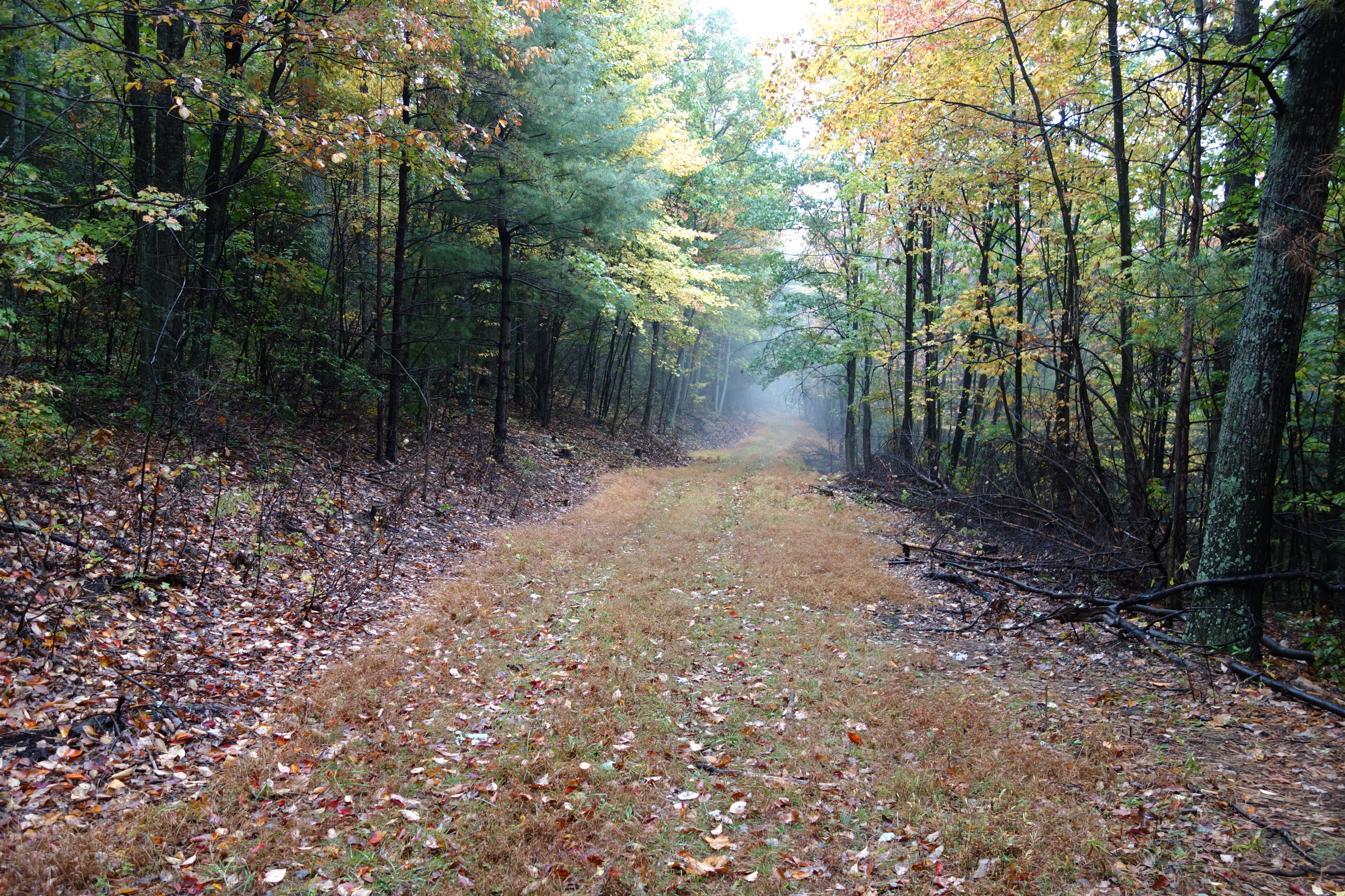
Deep Woods Run
Recent Searches:
- Elevation of Congressional Dr, Stevensville, MD, USA
- Elevation of Bellview Rd, McLean, VA, USA
- Elevation of Stage Island Rd, Chatham, MA, USA
- Elevation of Shibuya Scramble Crossing, 21 Udagawacho, Shibuya City, Tokyo -, Japan
- Elevation of Jadagoniai, Kaunas District Municipality, Lithuania
- Elevation of Pagonija rock, Kranto 7-oji g. 8"N, Kaunas, Lithuania
- Elevation of Co Rd 87, Jamestown, CO, USA
- Elevation of Tenjo, Cundinamarca, Colombia
- Elevation of Côte-des-Neiges, Montreal, QC H4A 3J6, Canada
- Elevation of Bobcat Dr, Helena, MT, USA