Elevation of Capon, WV, USA
Location: United States > West Virginia > Hardy County >
Longitude: -78.679583
Latitude: 39.0792247
Elevation: 648m / 2126feet
Barometric Pressure: 94KPa
Elevation Map:
Satellite Map:
Related Photos:
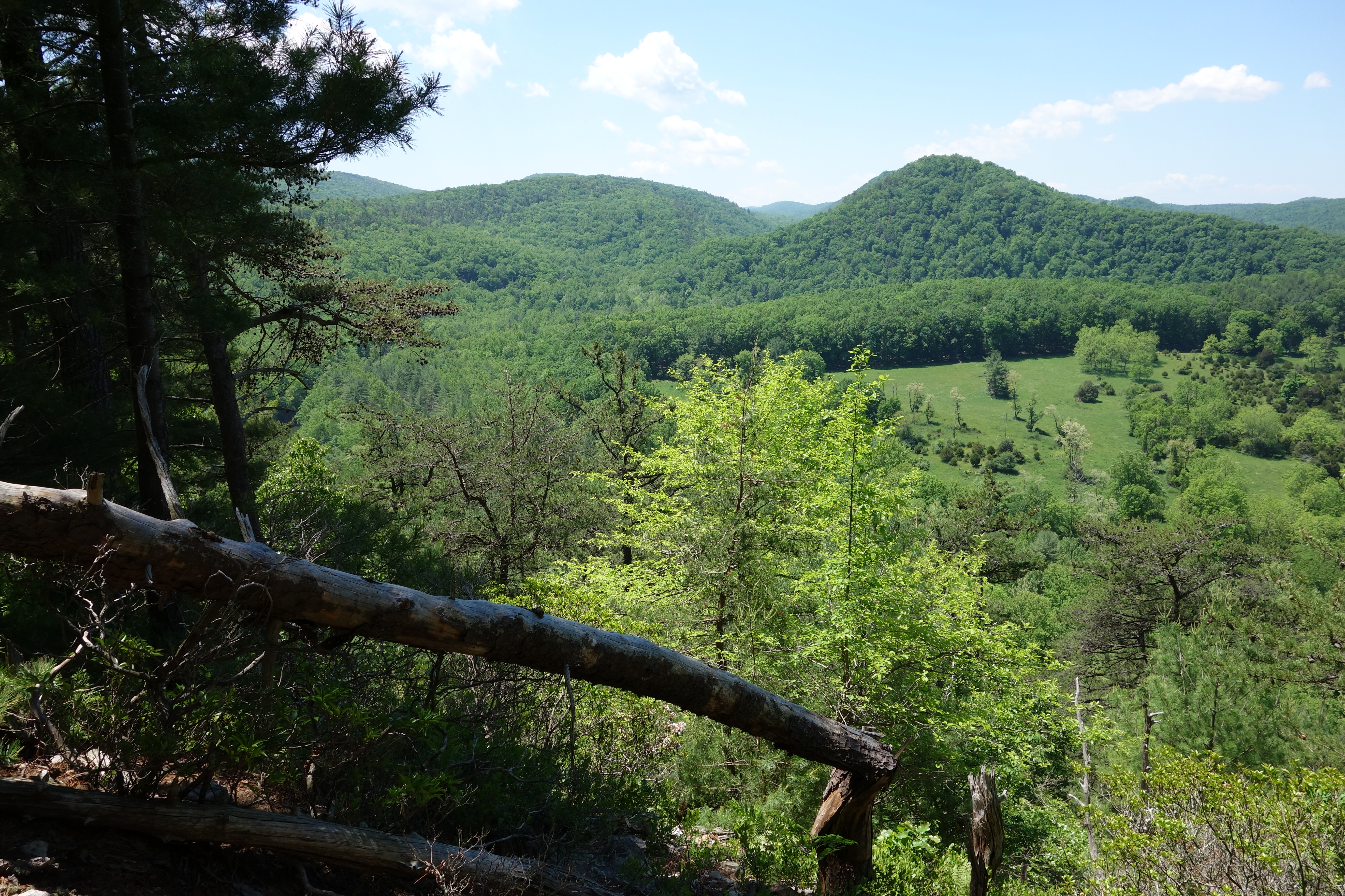
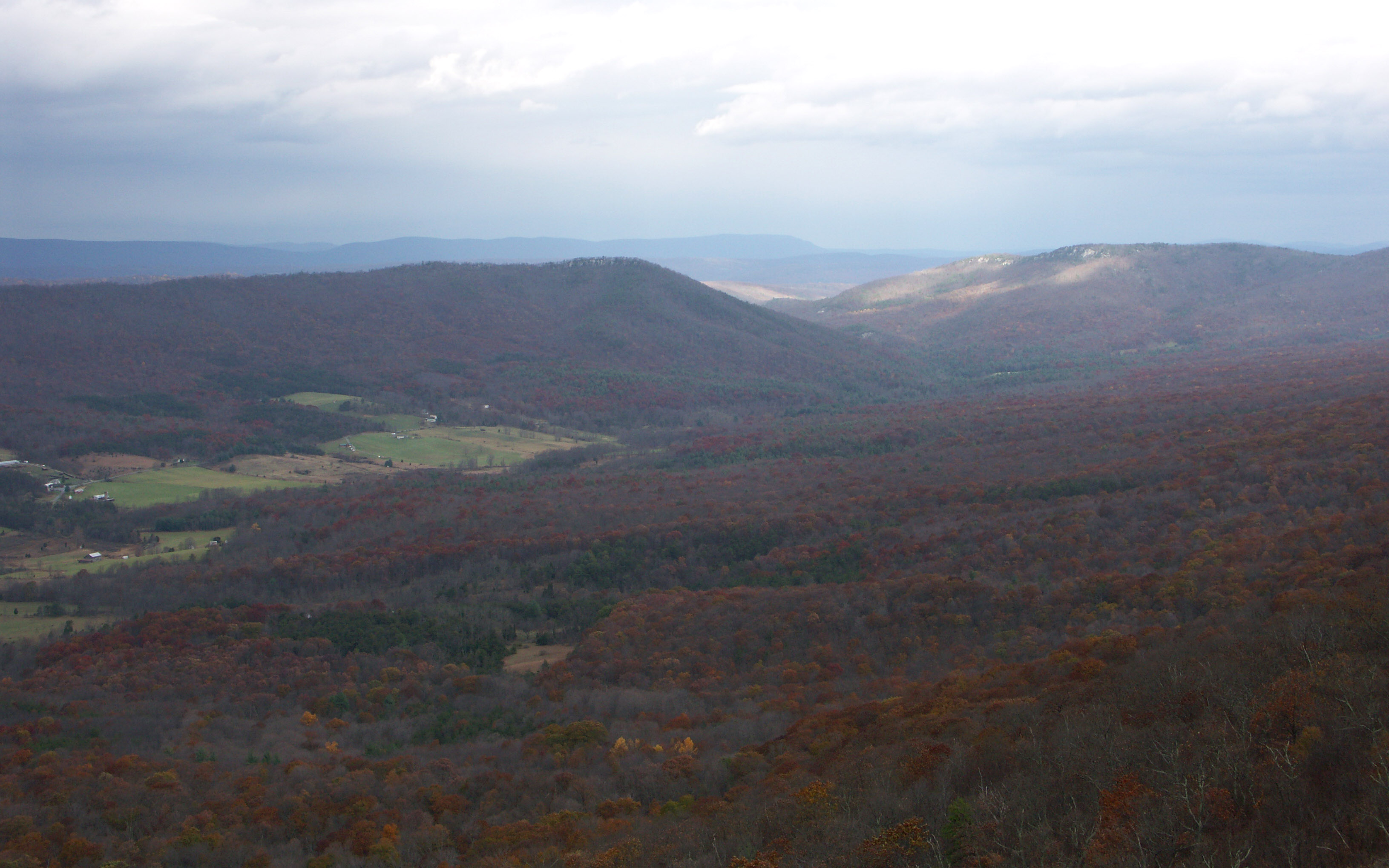
DSC01435 027 View
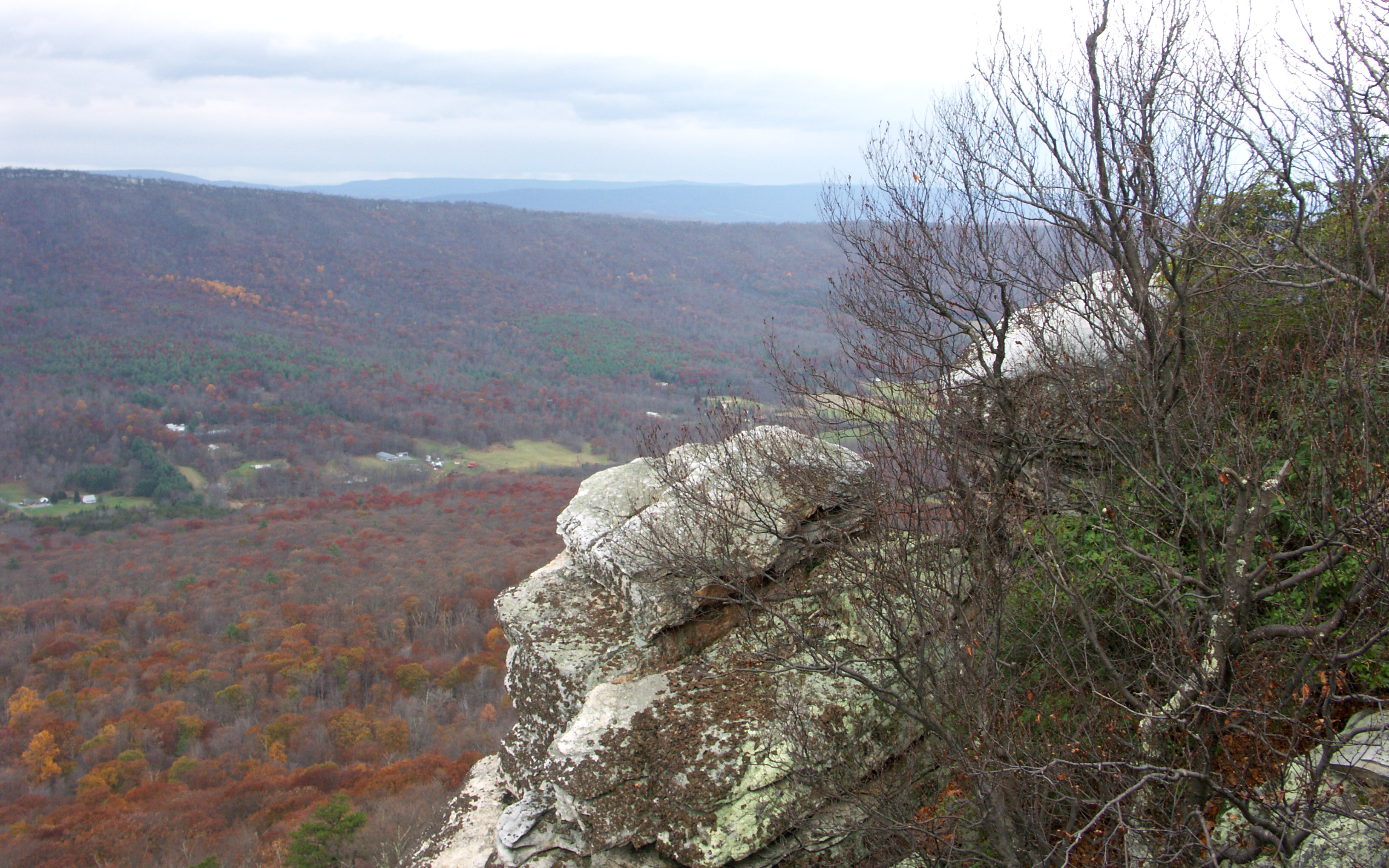
DSC01432 027 View
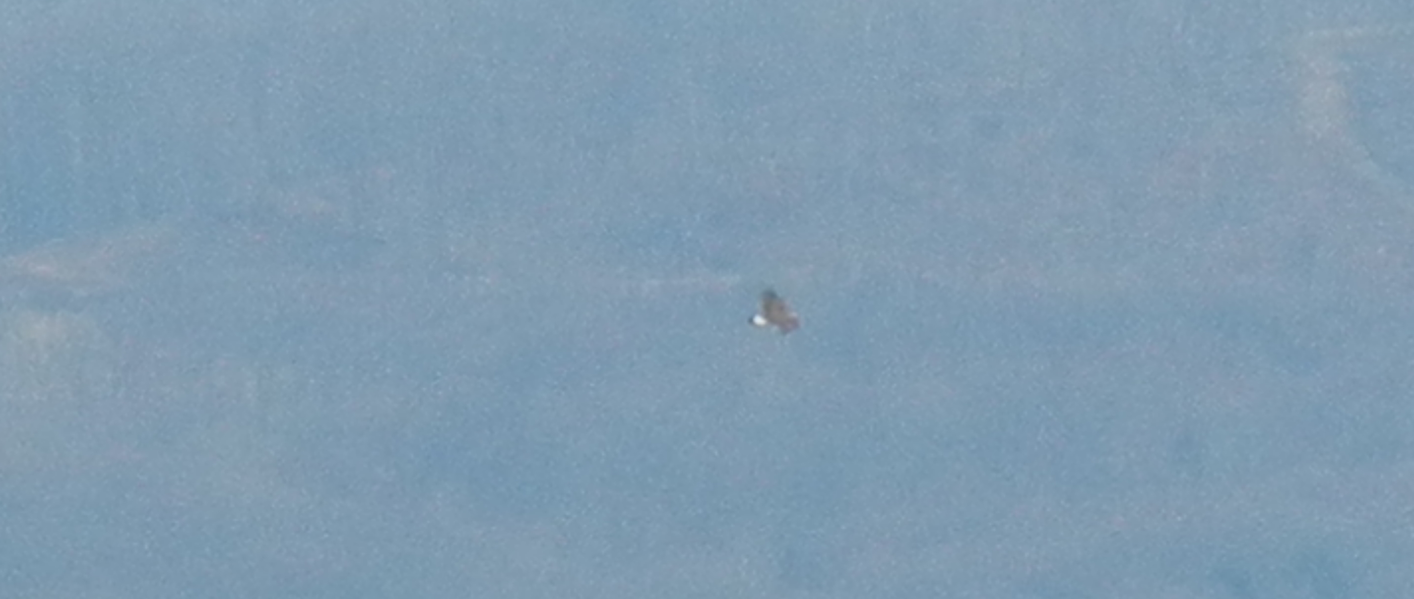
Golden Eagle immature GBBC

DSC01433 027 View

DSC00996 006 Max Spitzer Overlook view
DSC00997 006 Max Spitzer Overlook view

DSC01434 027 View

DSC01431 027 View

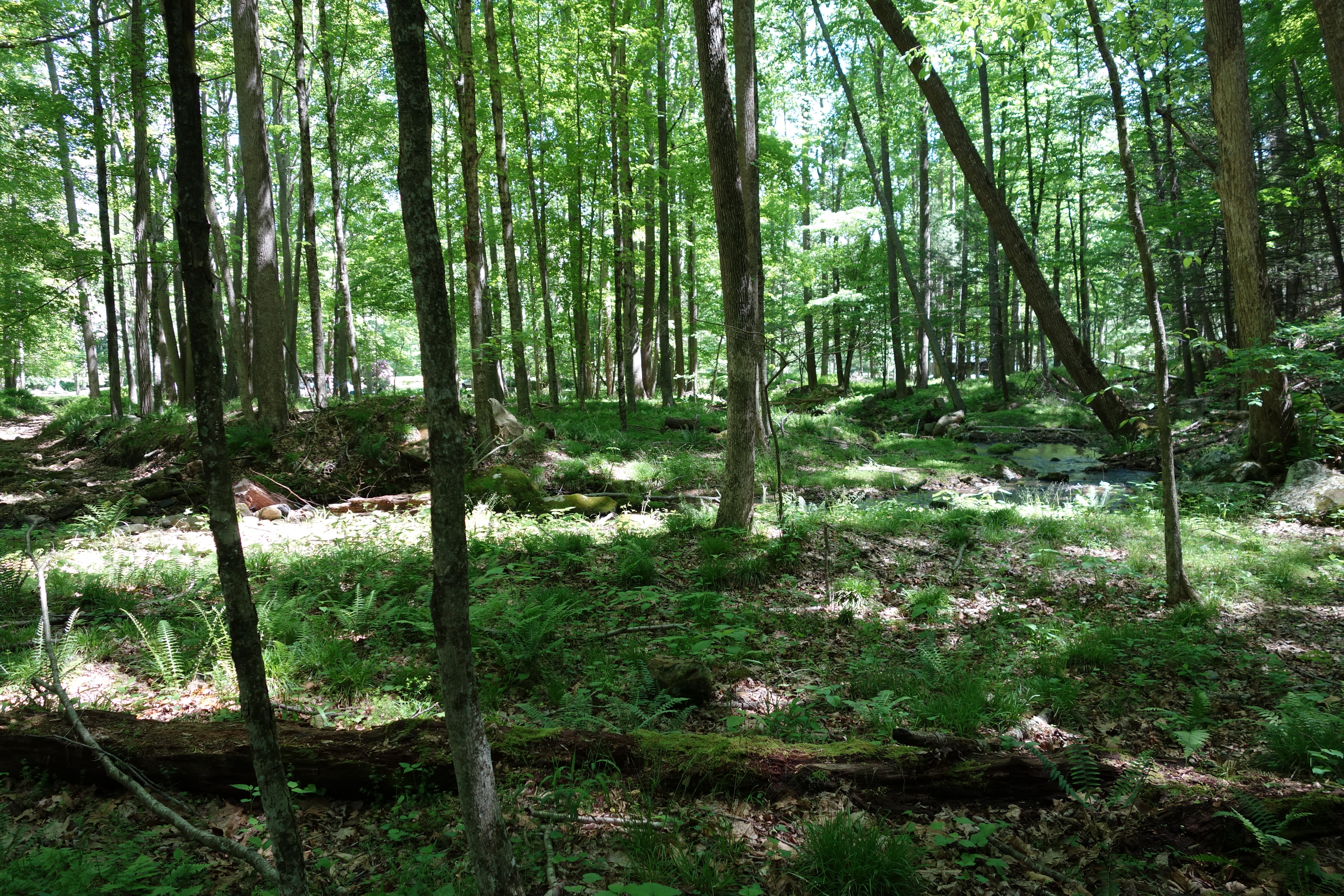
The view around the pond at Winchester Medical Center

The view around the pond at Winchester Medical Center

The view around the pond at Winchester Medical Center
Big Schloss View 3
Big Schloss View 1

View from Boonesboro Washington Monument
Big Schloss View 2

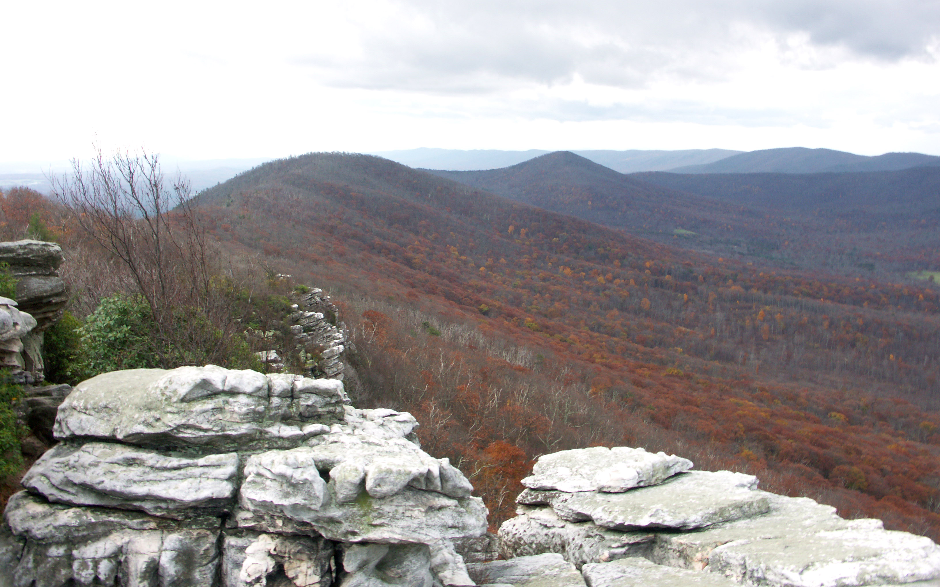
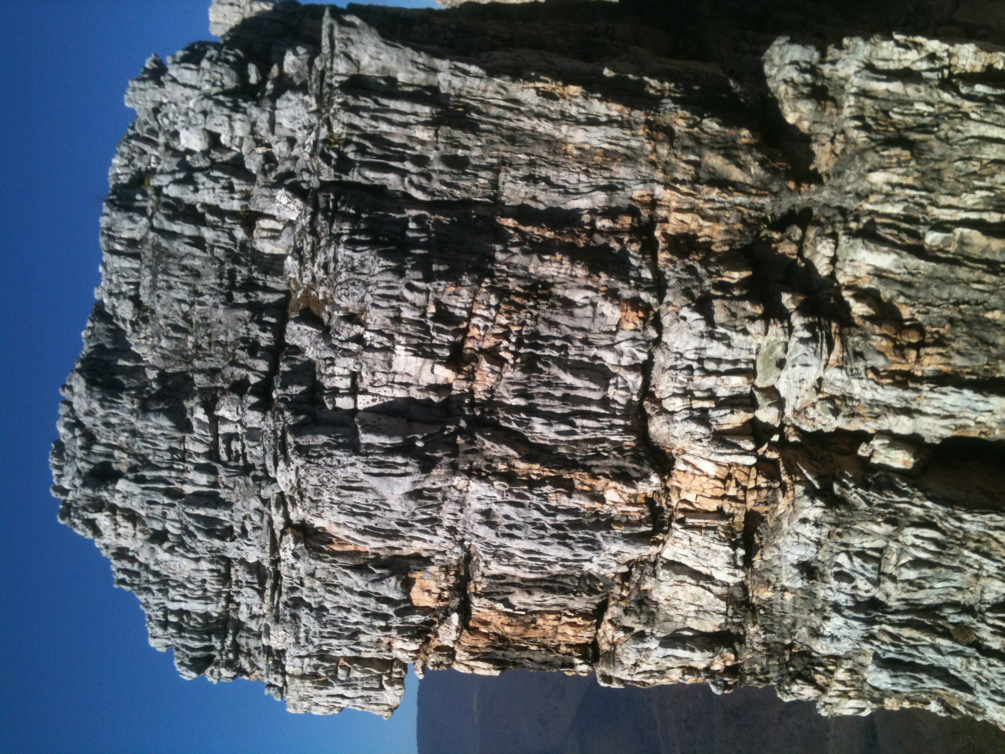
View from Black Rock

The view around the pond at Winchester Medical Center

The view around the pond at Winchester Medical Center
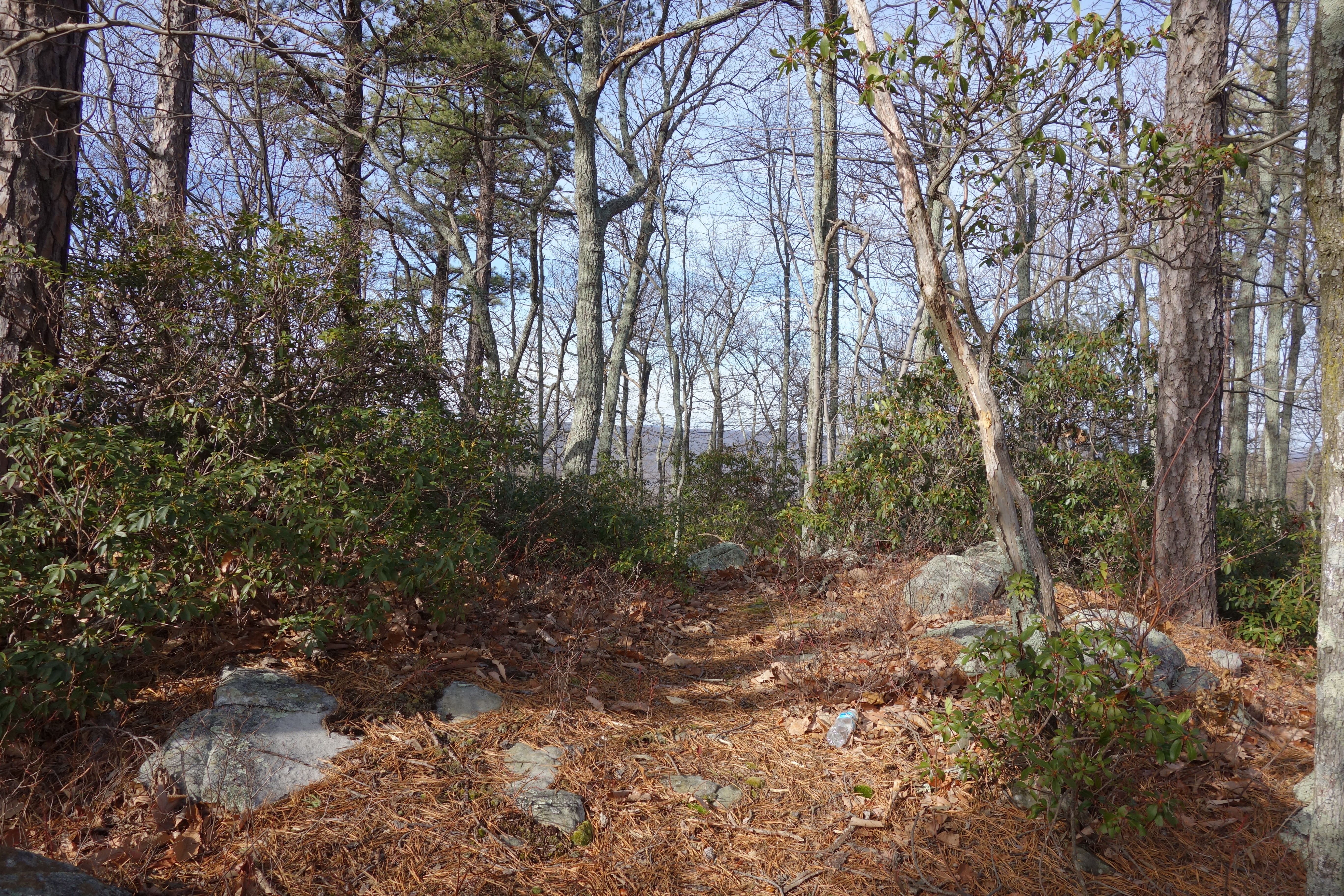
taking in the cliff view

View from Boonesboro Washington Monument

View from Black Rock
Camera Roll-263
Camera Roll-264
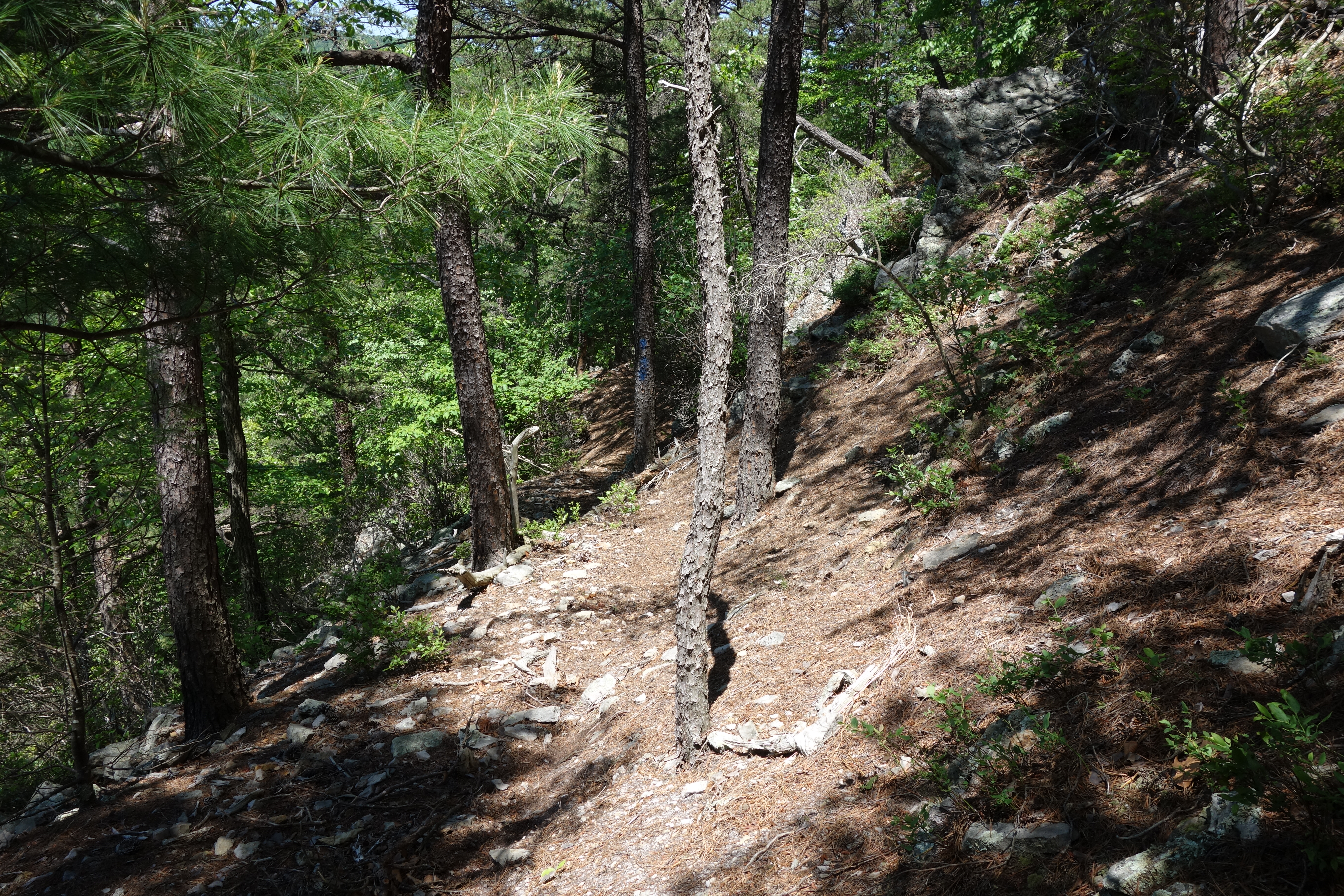
DSC01428 025 ninety degree turn

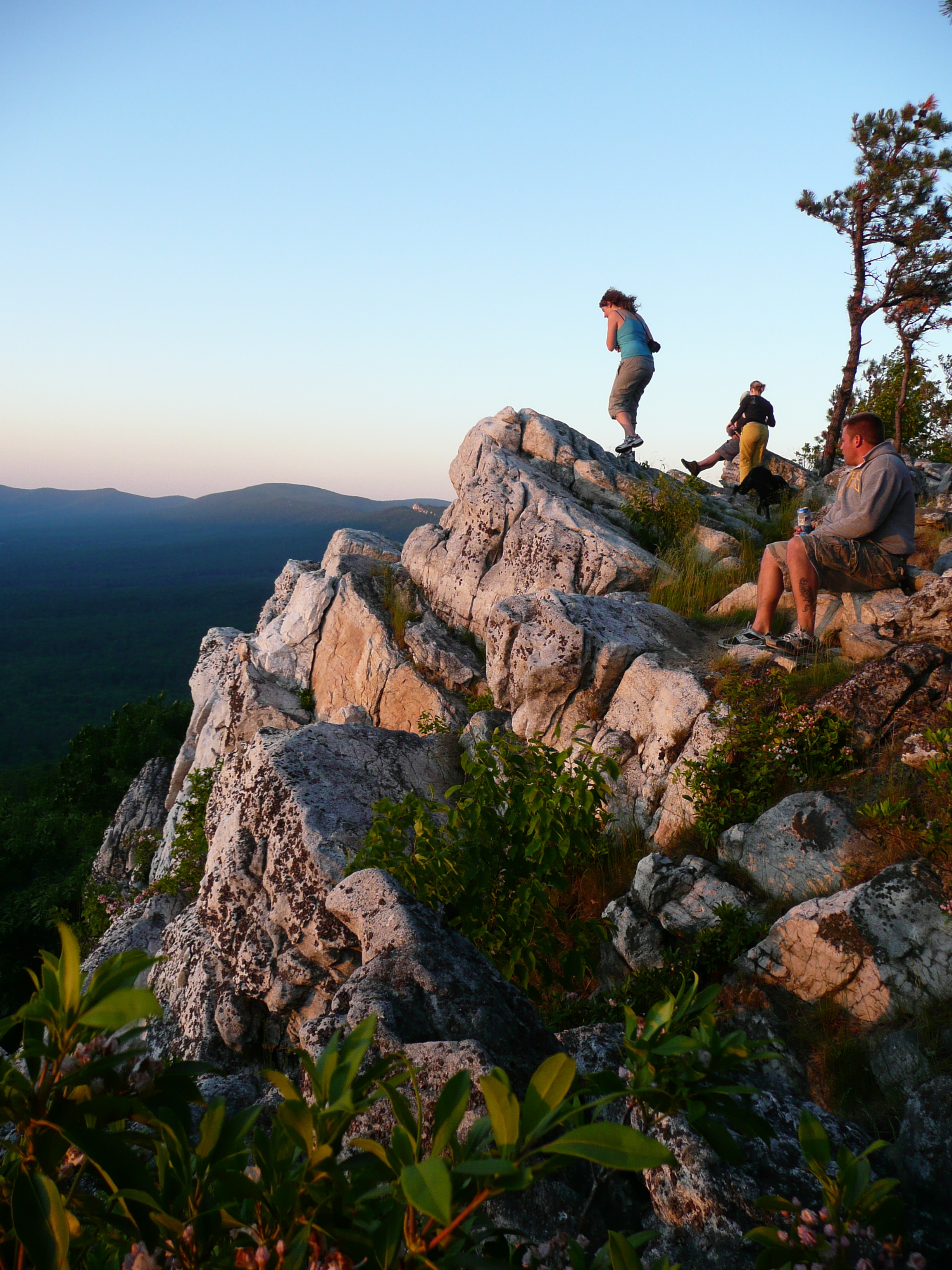
Sunrise at White Rock Cliff

American Tree Sparrow
DSC00974 005 Utility Tr near Squirrel Gap Tr Old Rte 55

DSC01002 008 Blowdown
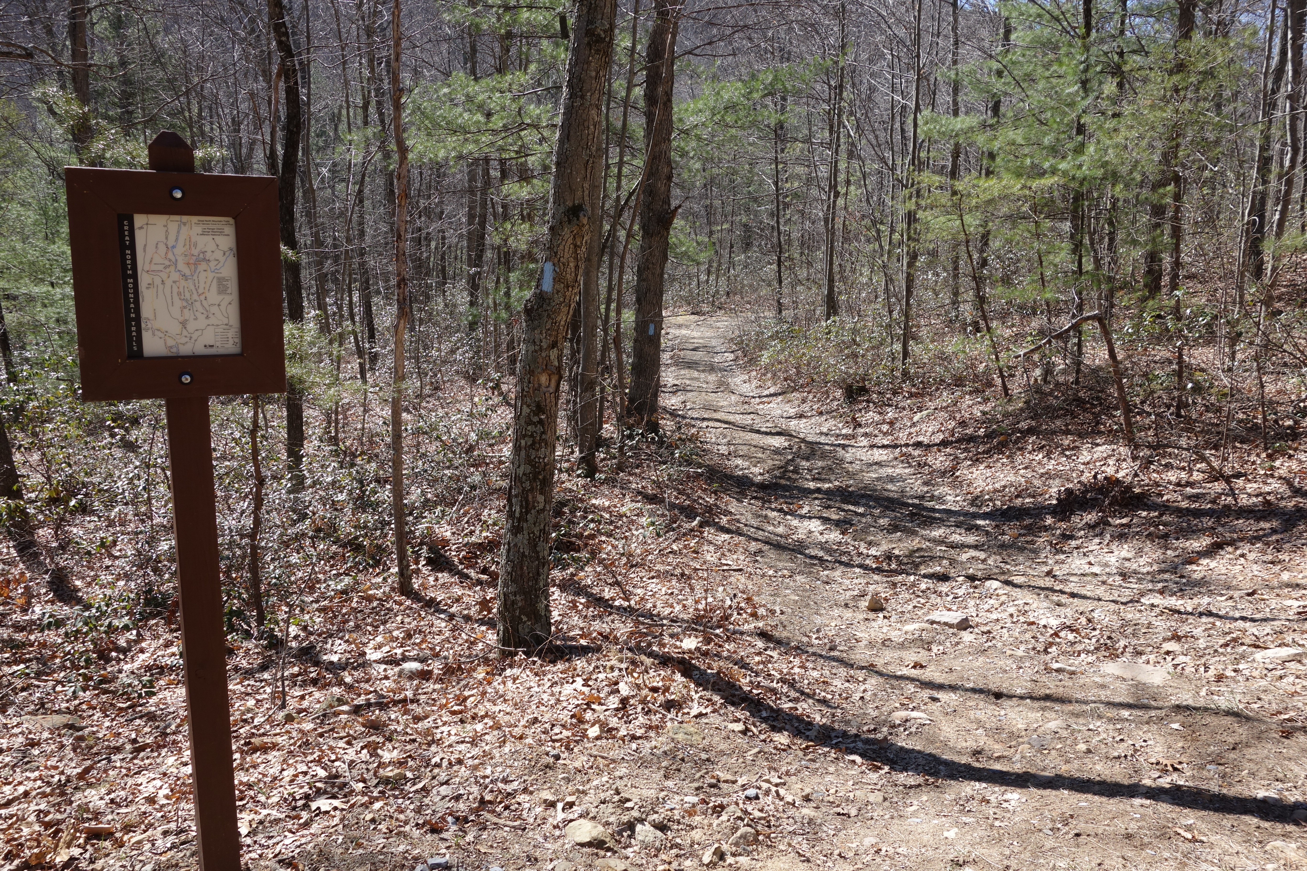
DSC01409 021 Bndy Private Land
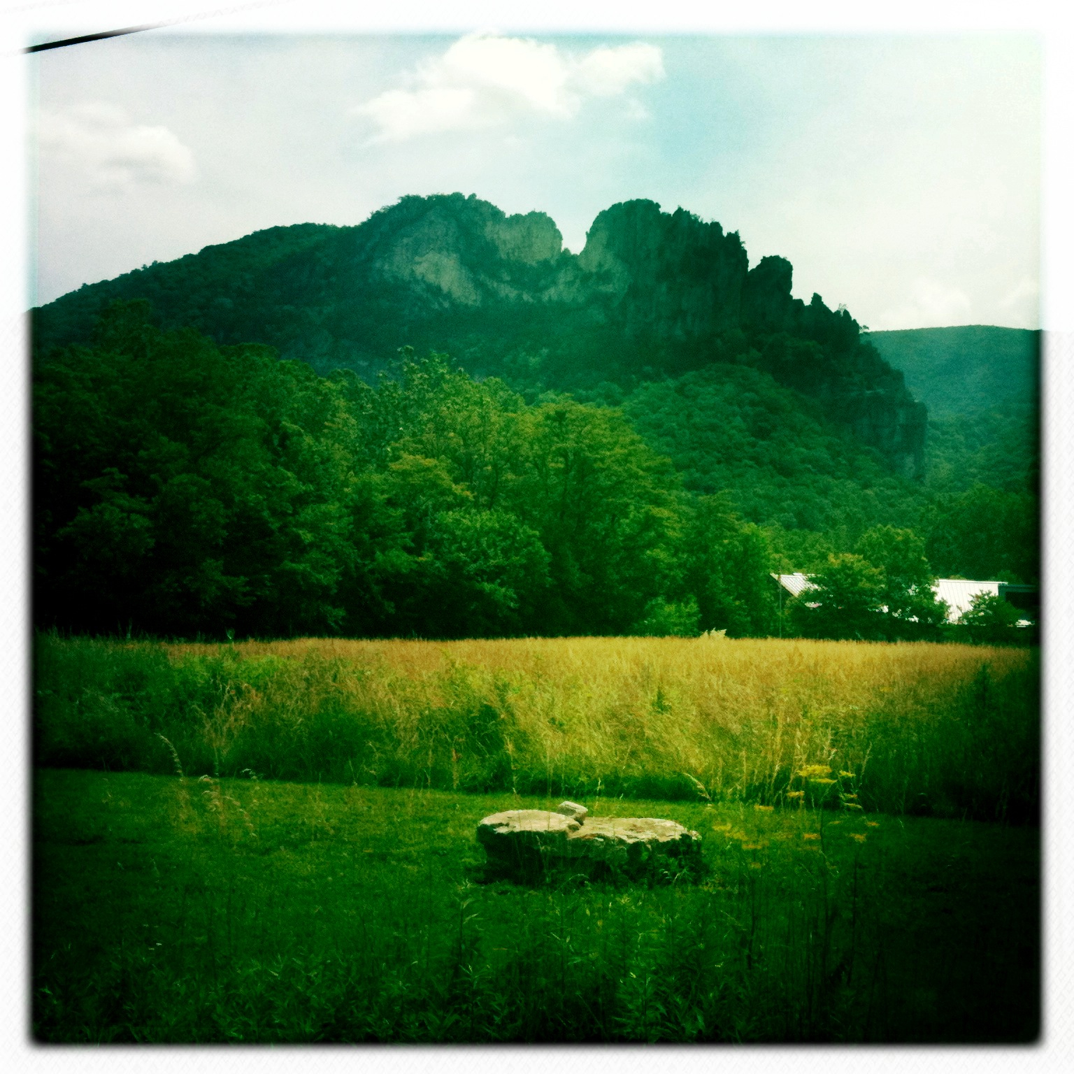
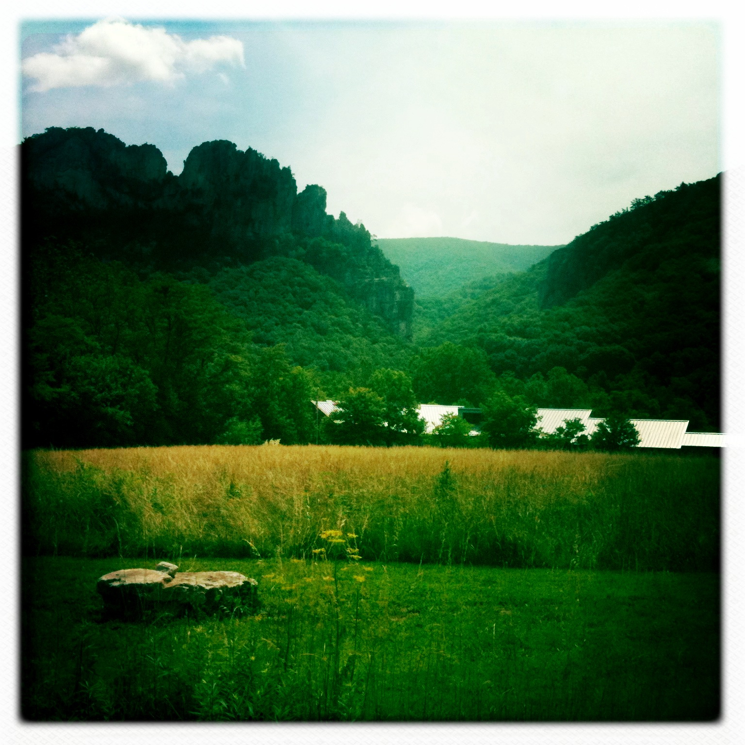
The Chimney itself

trout run valley, wv

DSC00670 004 Jct Big Schloss Ctof and Mill Mtn Tr

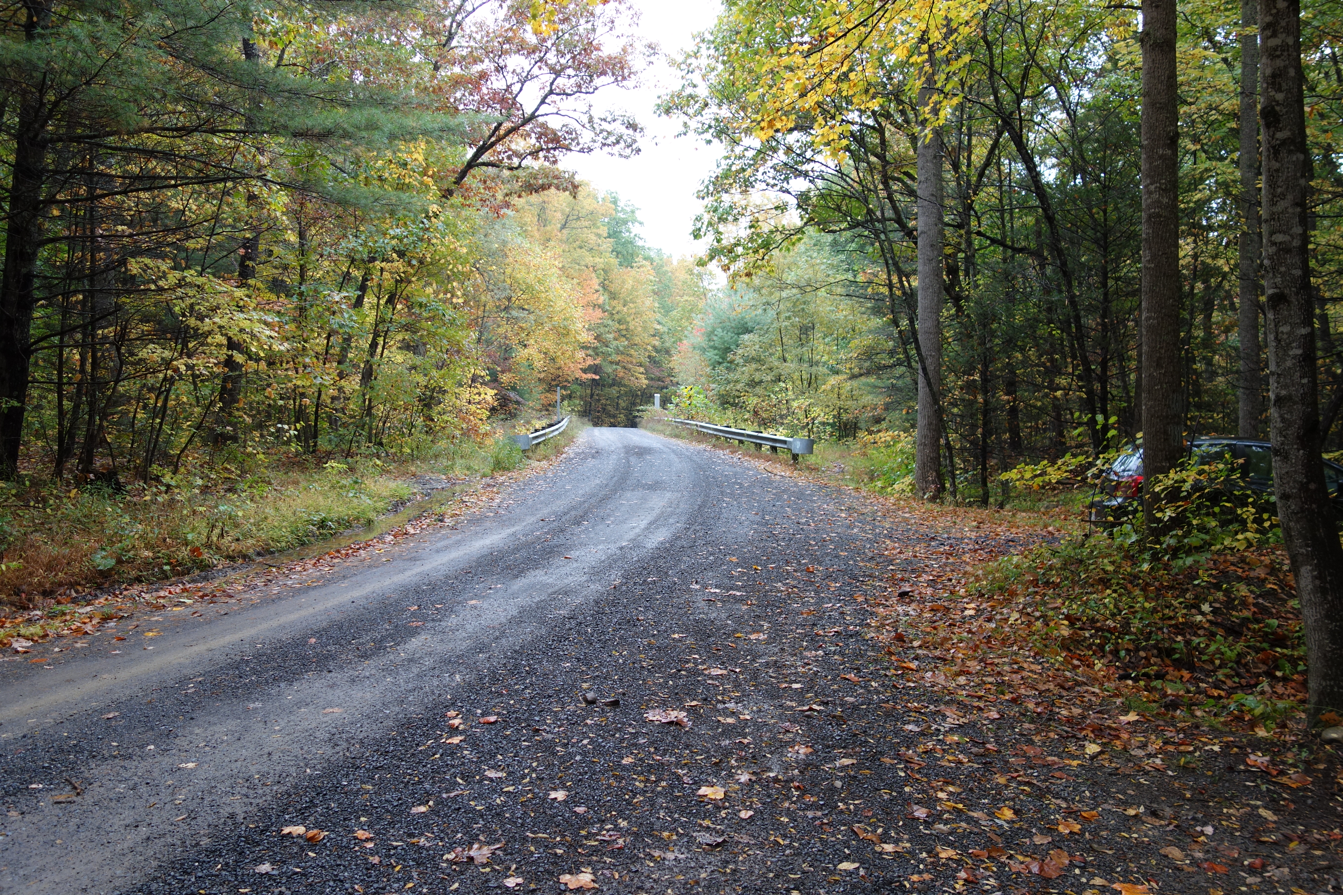
The First Bridge
DSC00649 150 TT jct Gerhard Shelter Tr

Clouds rolling through the gap
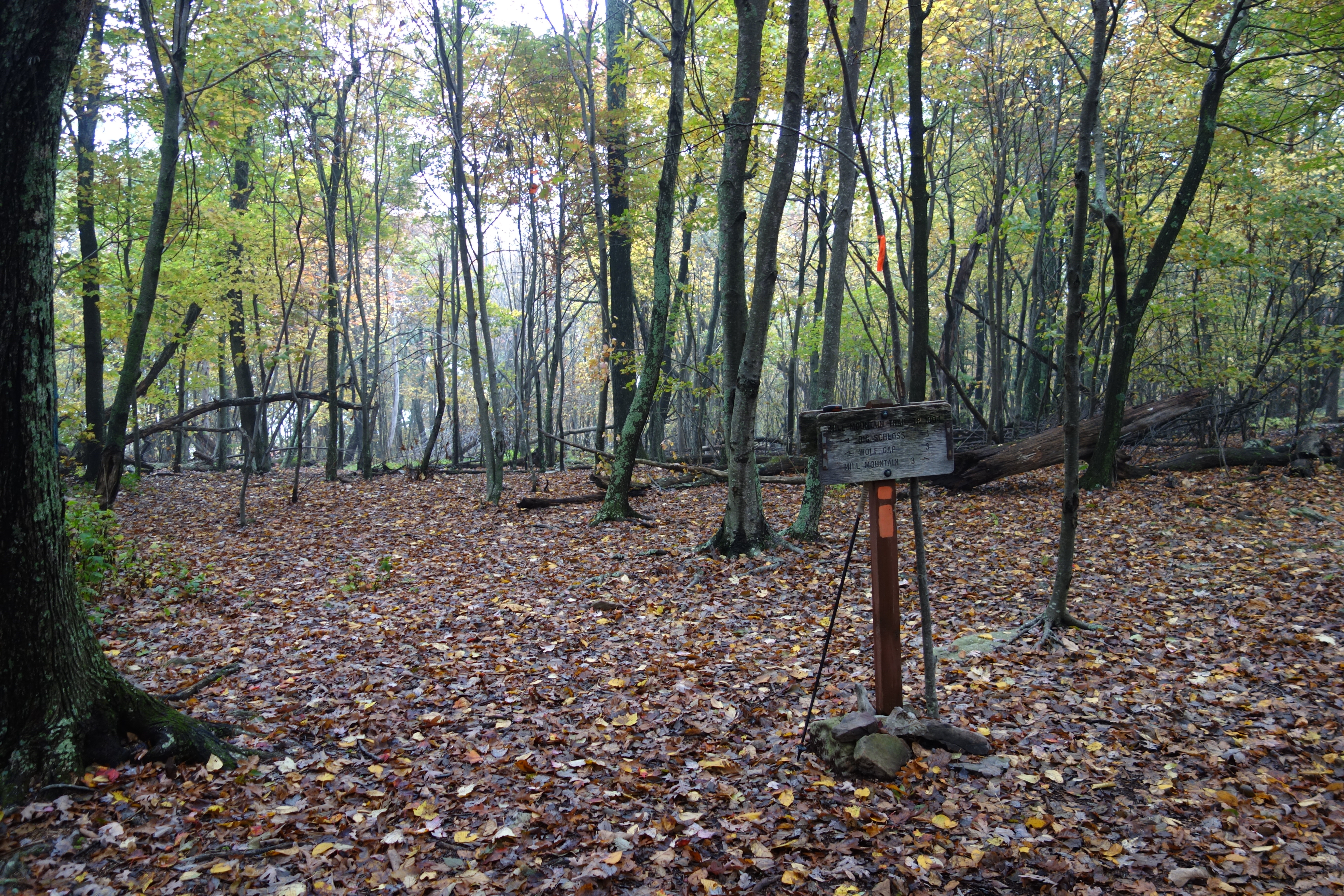
DSC00672 004 Jct Big Schloss Ctof and Mill Mtn Tr
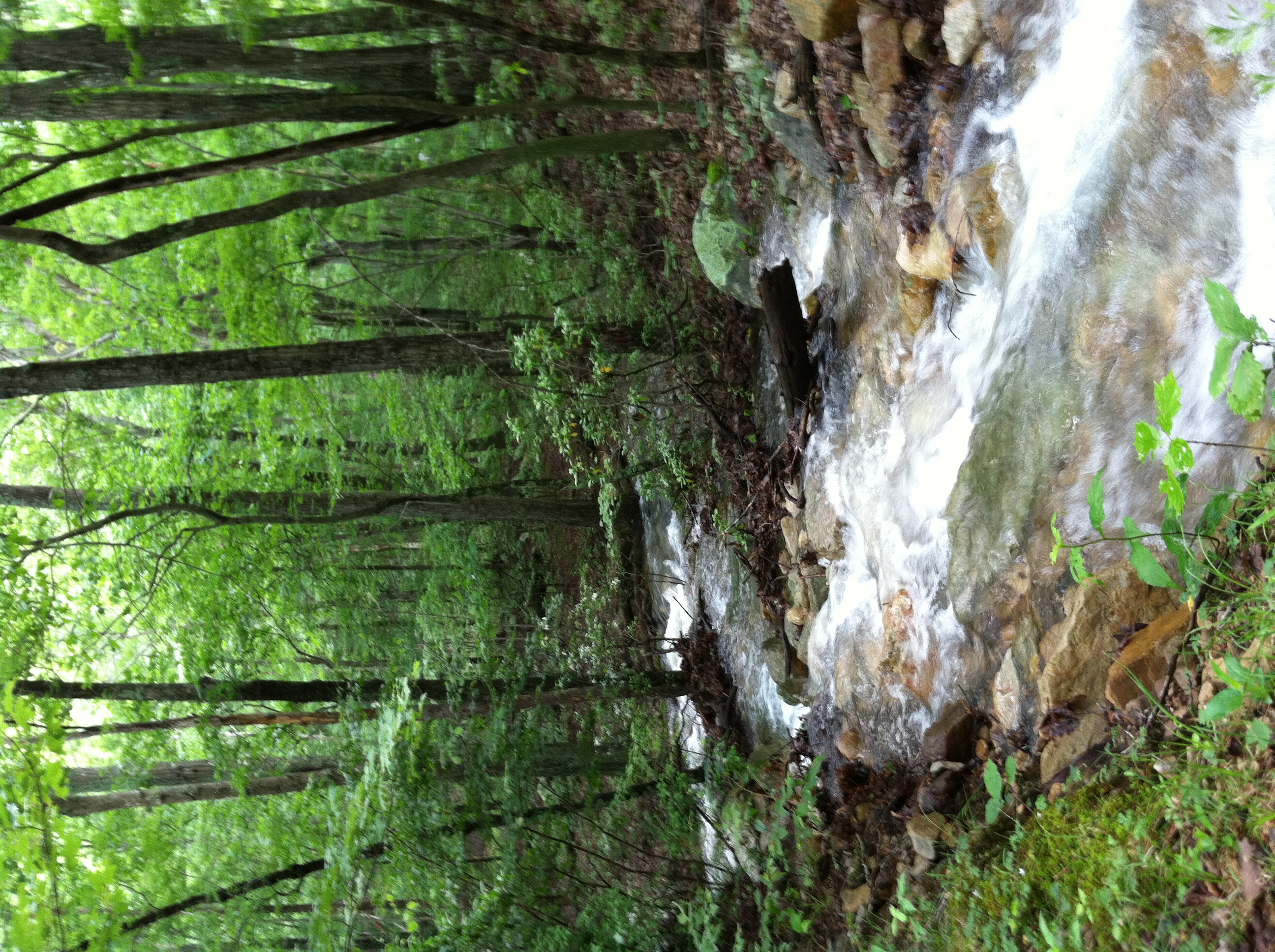
Screamin' Stream
DSC01115 003 Jct FDR 1863 and TT facing east
DSC00594 137 TT jct Gander Rock Rd
DSC00584 135 TT jct Gander Rock Rd and Waites Run Rd
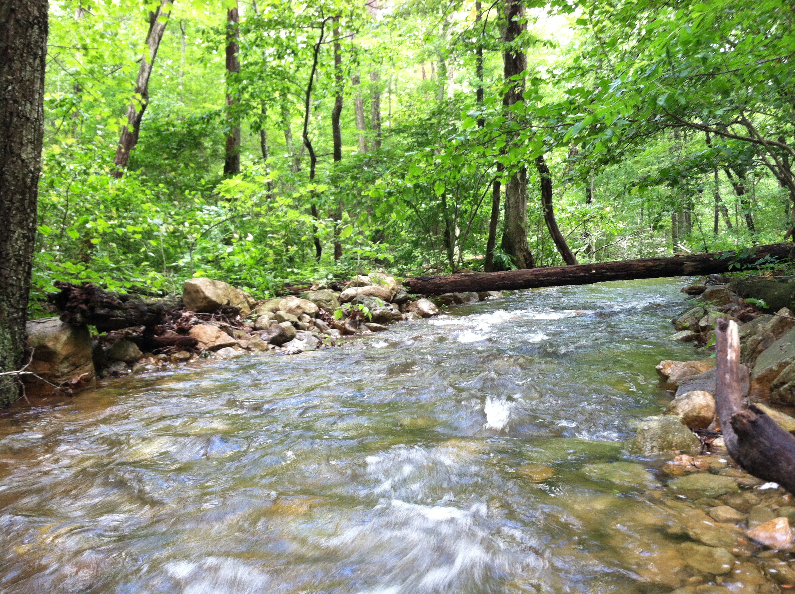
Cedar Creek

DSC01125 006 stream xing
Topographic Map of Capon, WV, USA
Find elevation by address:

Places in Capon, WV, USA:
Places near Capon, WV, USA:
999 Lost River Ridge Cir
999 Lost River Ridge Cir
999 Lost River Ridge Cir
1235 Lost River Ridge Cir
1874 Lower Arkansaw Rd
4671 Co Rte 3/1
4671 Co Rte 3/1
WV-55, Wardensville, WV, USA
2631 Trout Run Rd
Rio
1168 Arkansaw Rd
1379 Co Rte 23/10
1608 County Rte 53
Baker
10000 Wv-29
Wardensville
70 W Main St
70 W Main St
70 W Main St
15 W Main St
Recent Searches:
- Elevation of Corso Fratelli Cairoli, 35, Macerata MC, Italy
- Elevation of Tallevast Rd, Sarasota, FL, USA
- Elevation of 4th St E, Sonoma, CA, USA
- Elevation of Black Hollow Rd, Pennsdale, PA, USA
- Elevation of Oakland Ave, Williamsport, PA, USA
- Elevation of Pedrógão Grande, Portugal
- Elevation of Klee Dr, Martinsburg, WV, USA
- Elevation of Via Roma, Pieranica CR, Italy
- Elevation of Tavkvetili Mountain, Georgia
- Elevation of Hartfords Bluff Cir, Mt Pleasant, SC, USA