Elevation of County Rte 53, Ford Hill Rd, Rio, WV, USA
Location: United States > West Virginia > Hampshire County > Sherman > Rio >
Longitude: -78.700275
Latitude: 39.1448334
Elevation: 390m / 1280feet
Barometric Pressure: 97KPa
Elevation Map:
Satellite Map:
Related Photos:
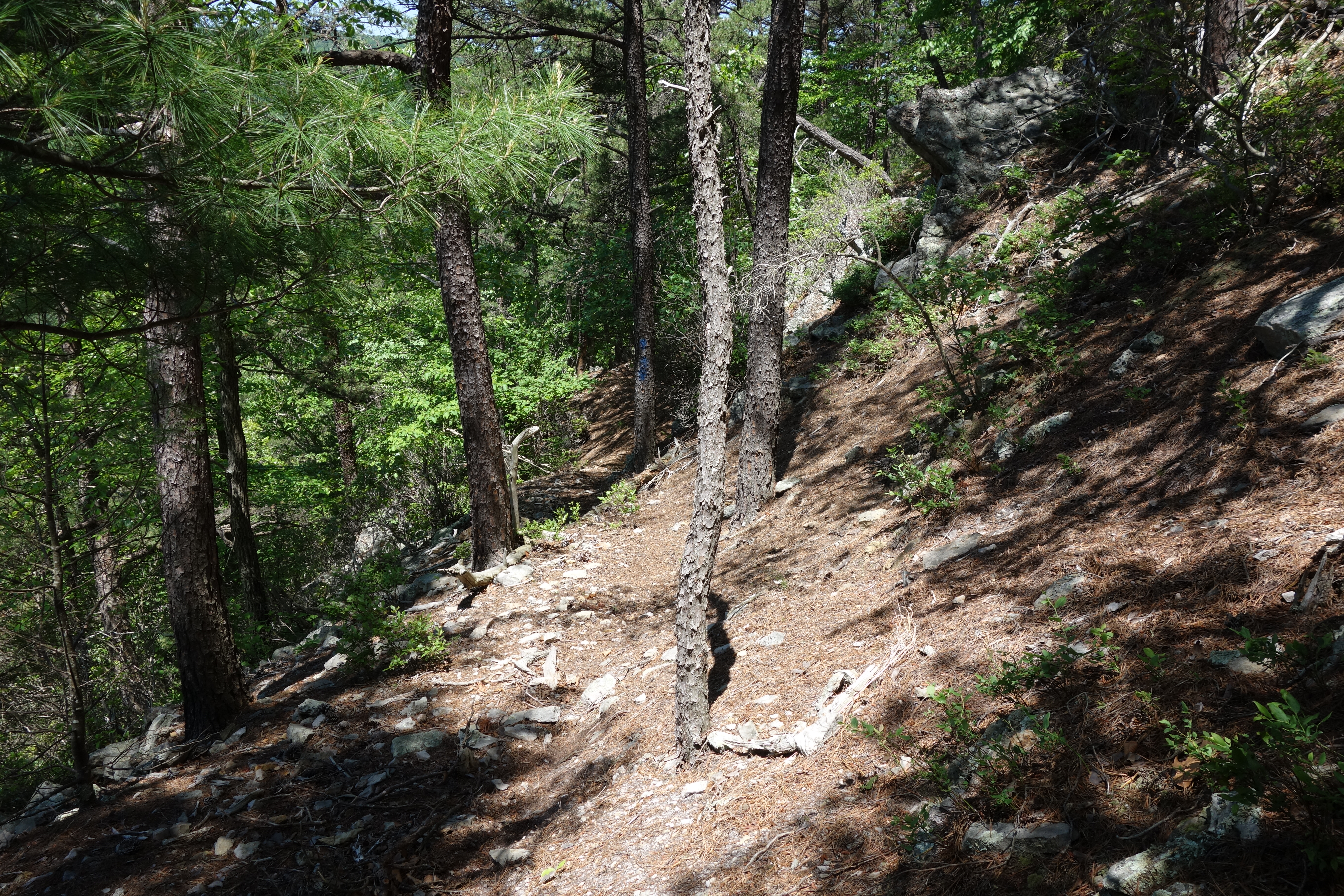
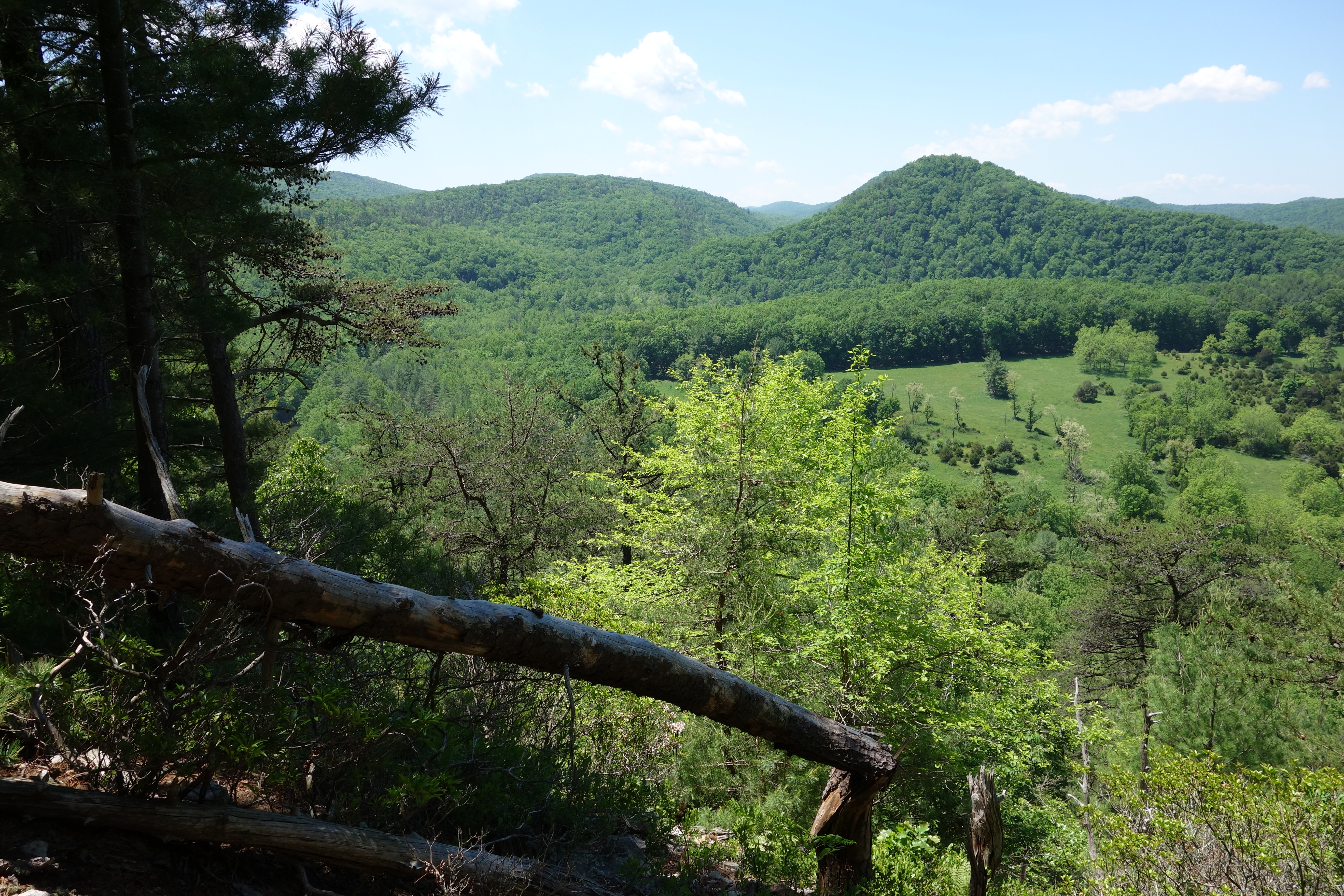
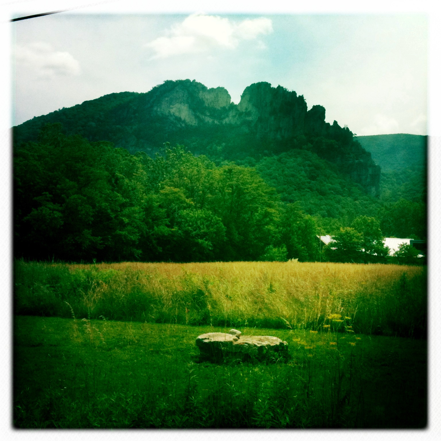
DSC01432 027 View
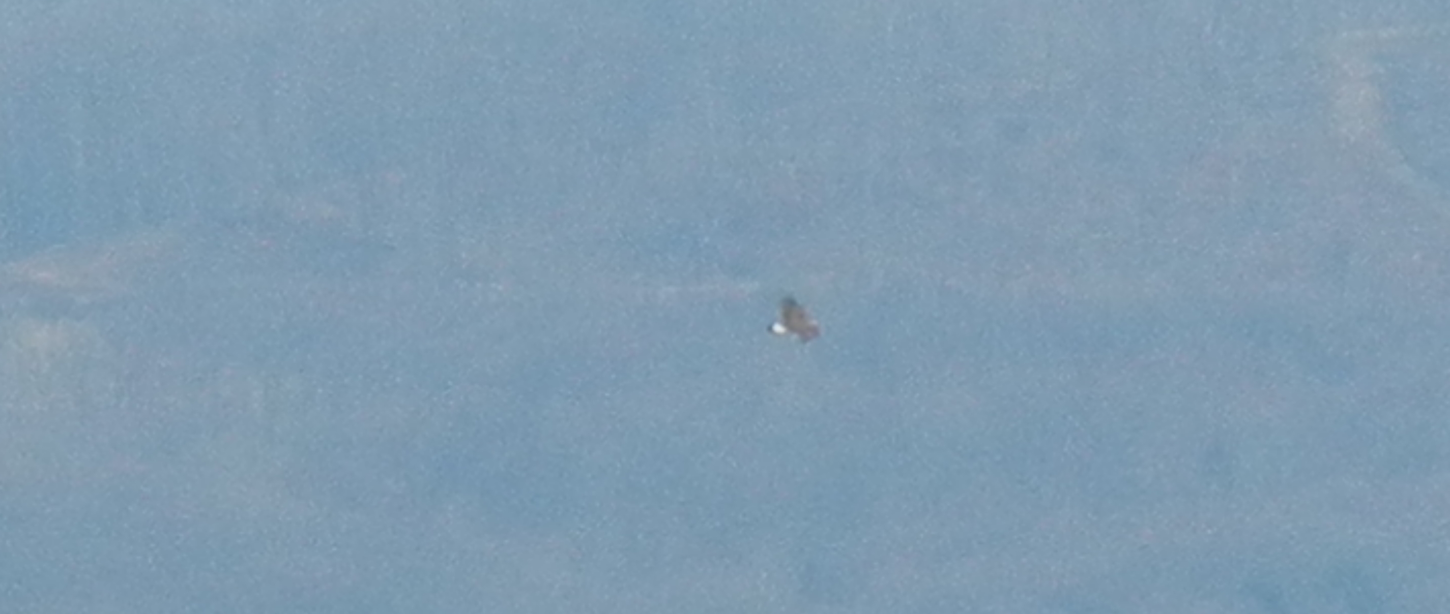
Golden Eagle immature GBBC
DSC00997 006 Max Spitzer Overlook view
Lost River

DSC00996 006 Max Spitzer Overlook view

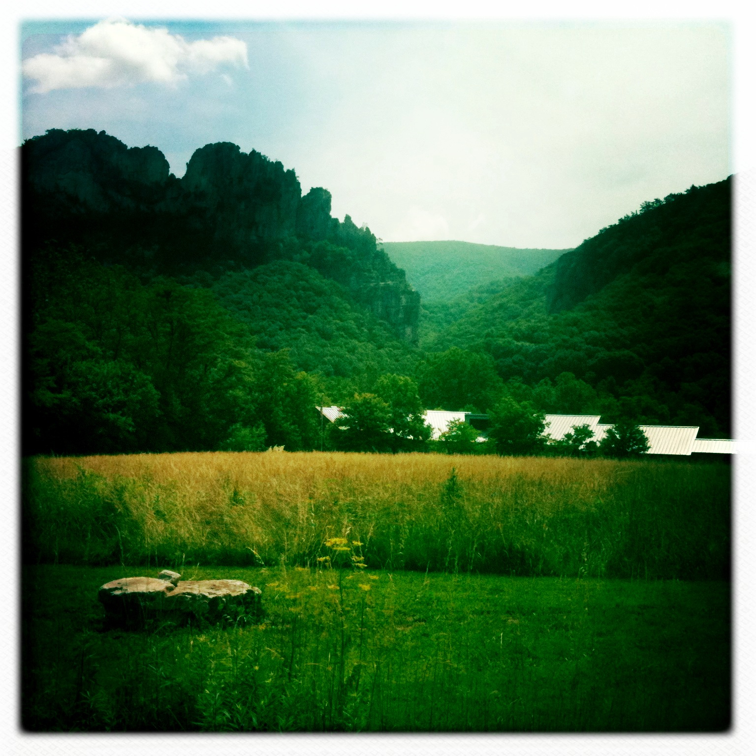
DSC01434 027 View
DSC01435 027 View

DSC01431 027 View

trout run valley, wv
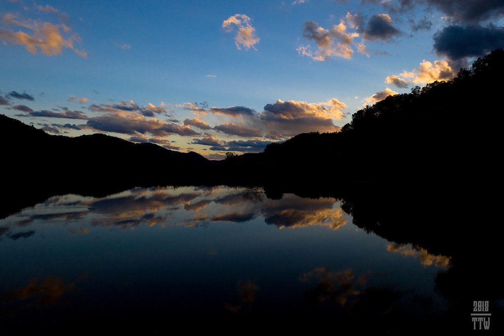
Sunset At 10 Feet

Pine Draft Farm in Hampshire County, W.Va.
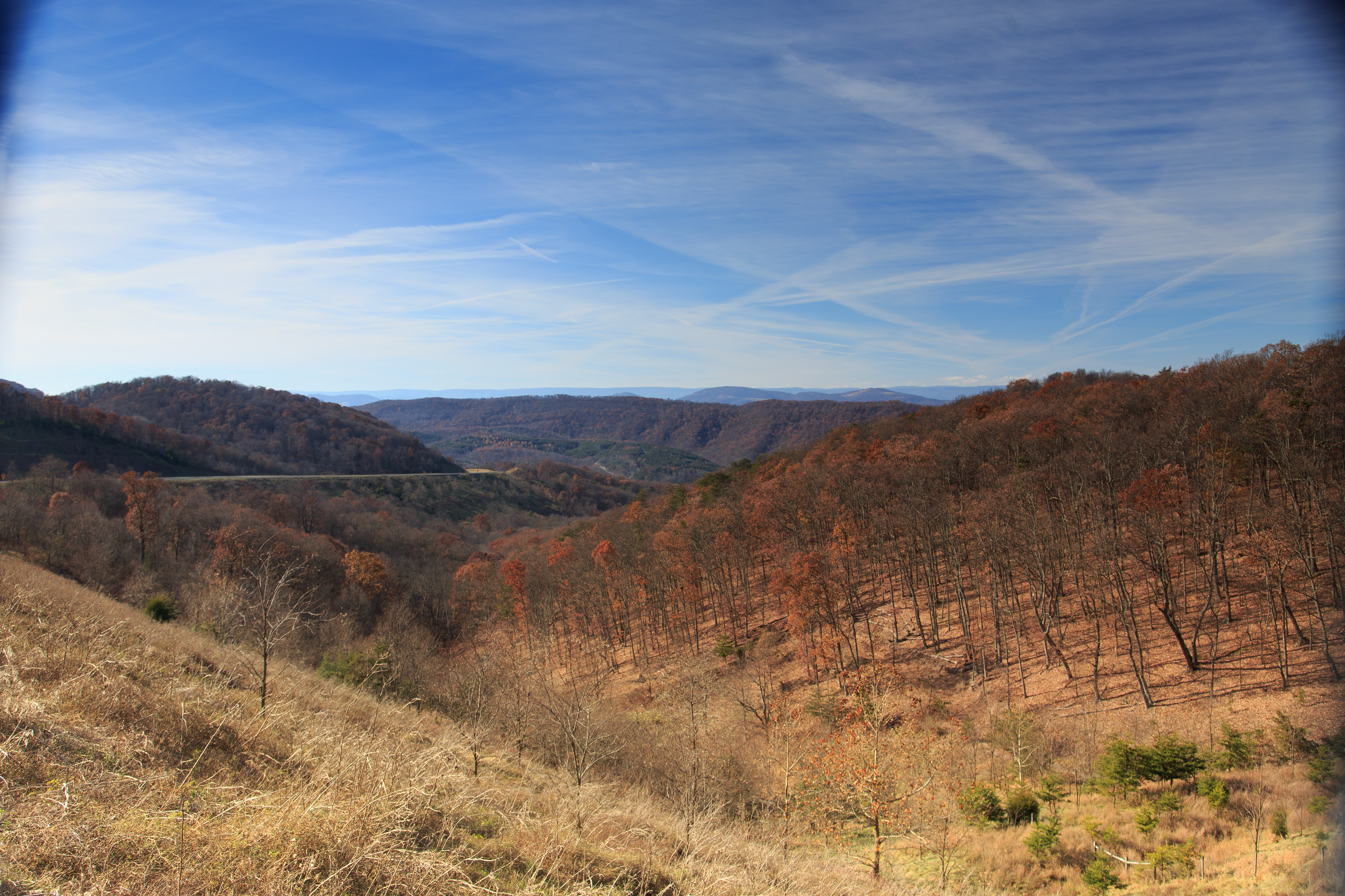
Red hill landscape

Pine Draft Farm in Hampshire County, W.Va.

Pine Draft Farm in Hampshire County, W.Va.

Pine Draft Farm in Hampshire County, W.Va.
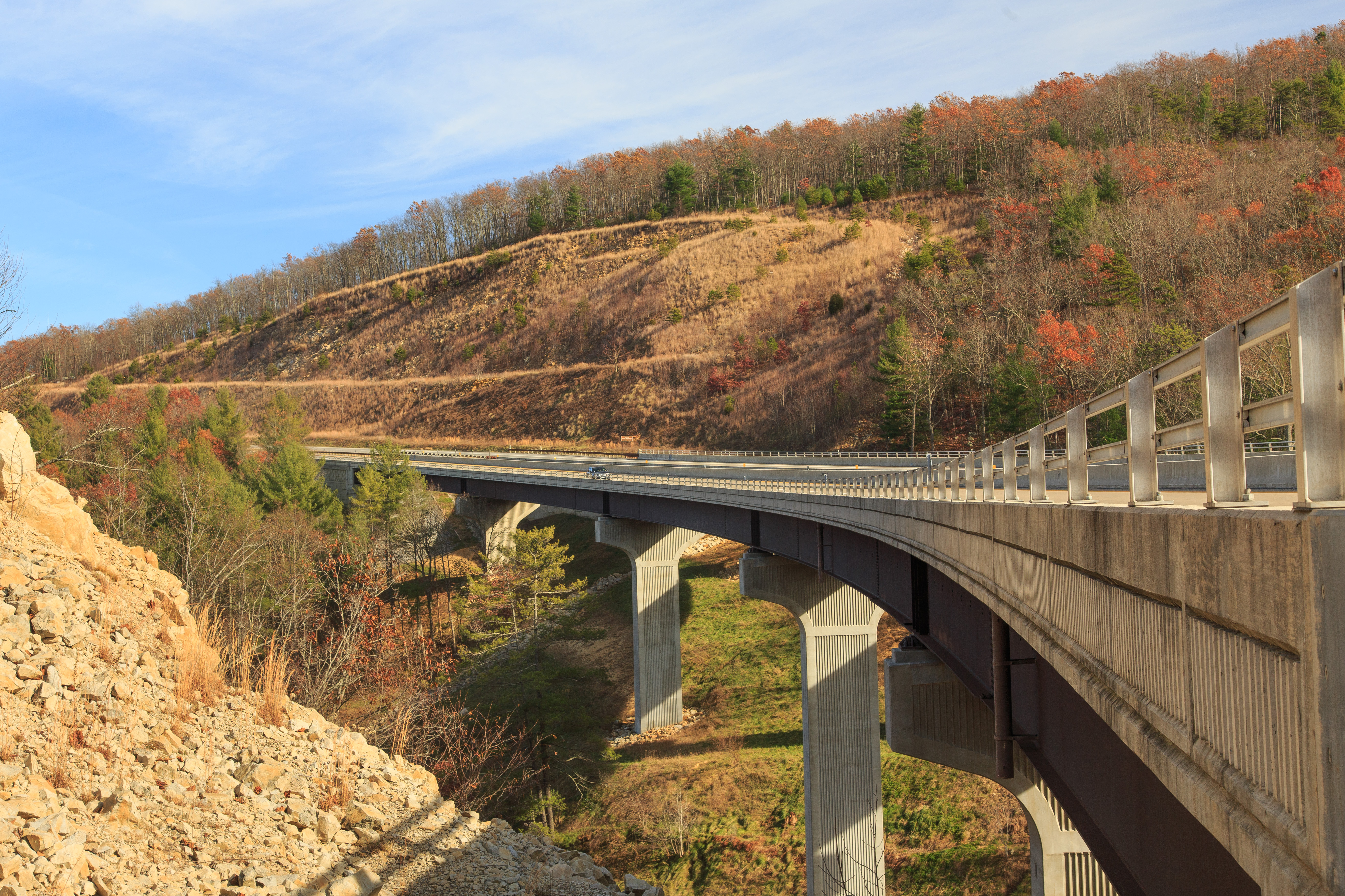
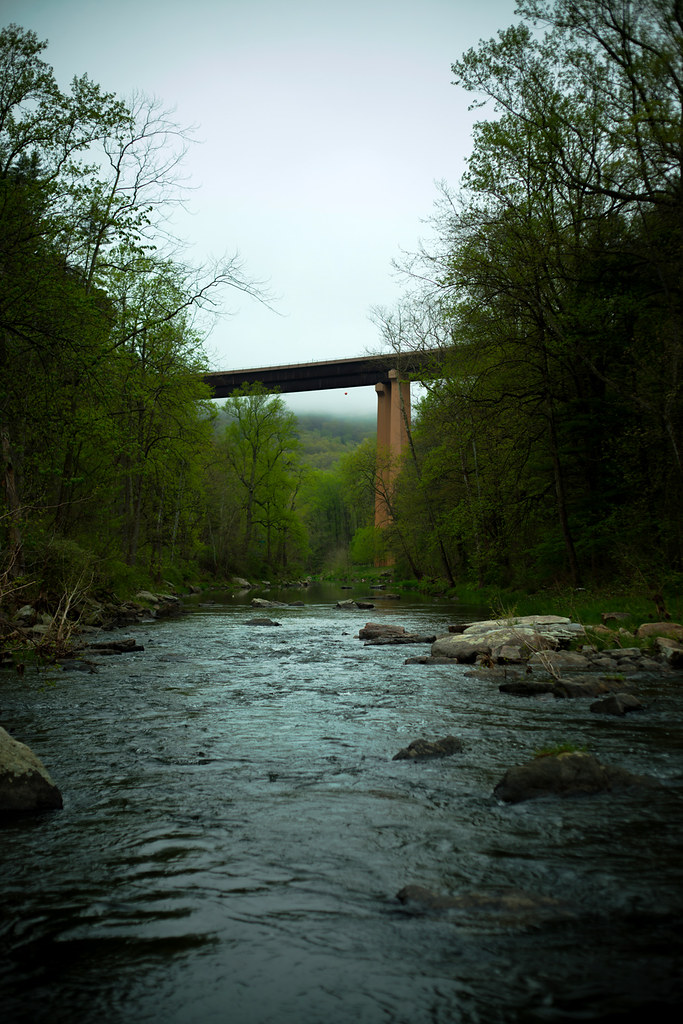
Highway Bridge
Camera Roll-263
Camera Roll-264
DSC00594 137 TT jct Gander Rock Rd

DSC01002 008 Blowdown
DSC00974 005 Utility Tr near Squirrel Gap Tr Old Rte 55

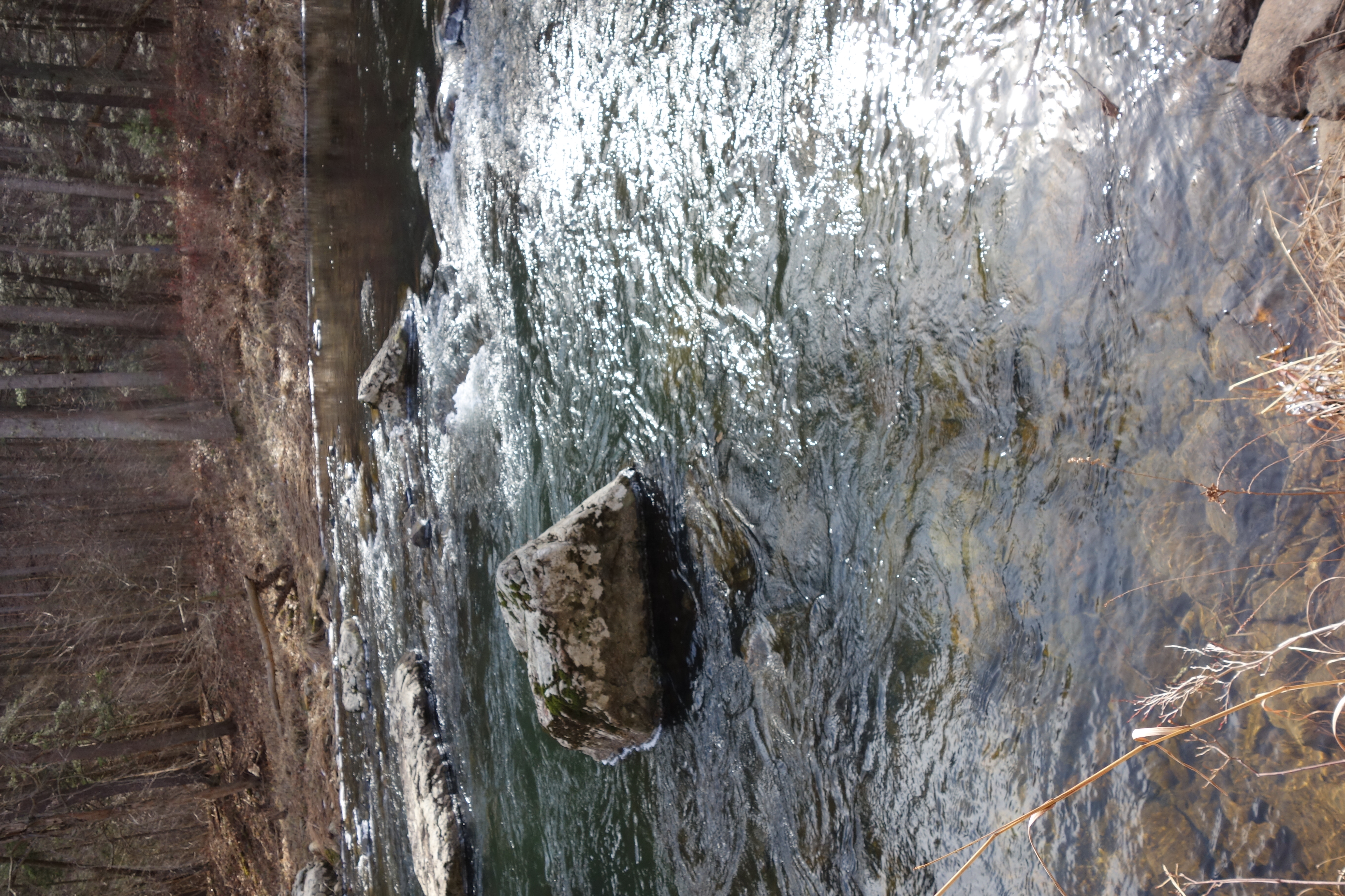
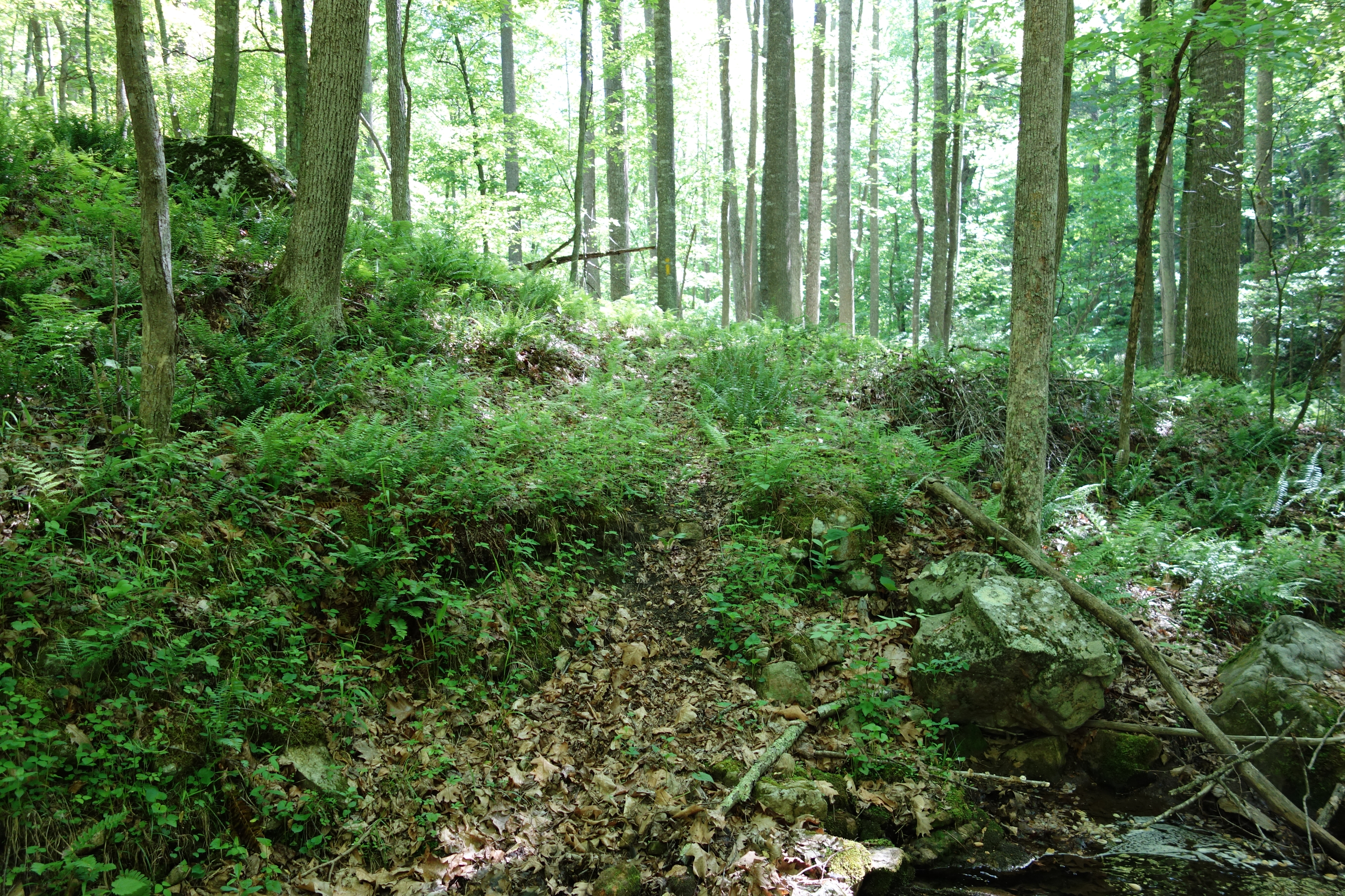
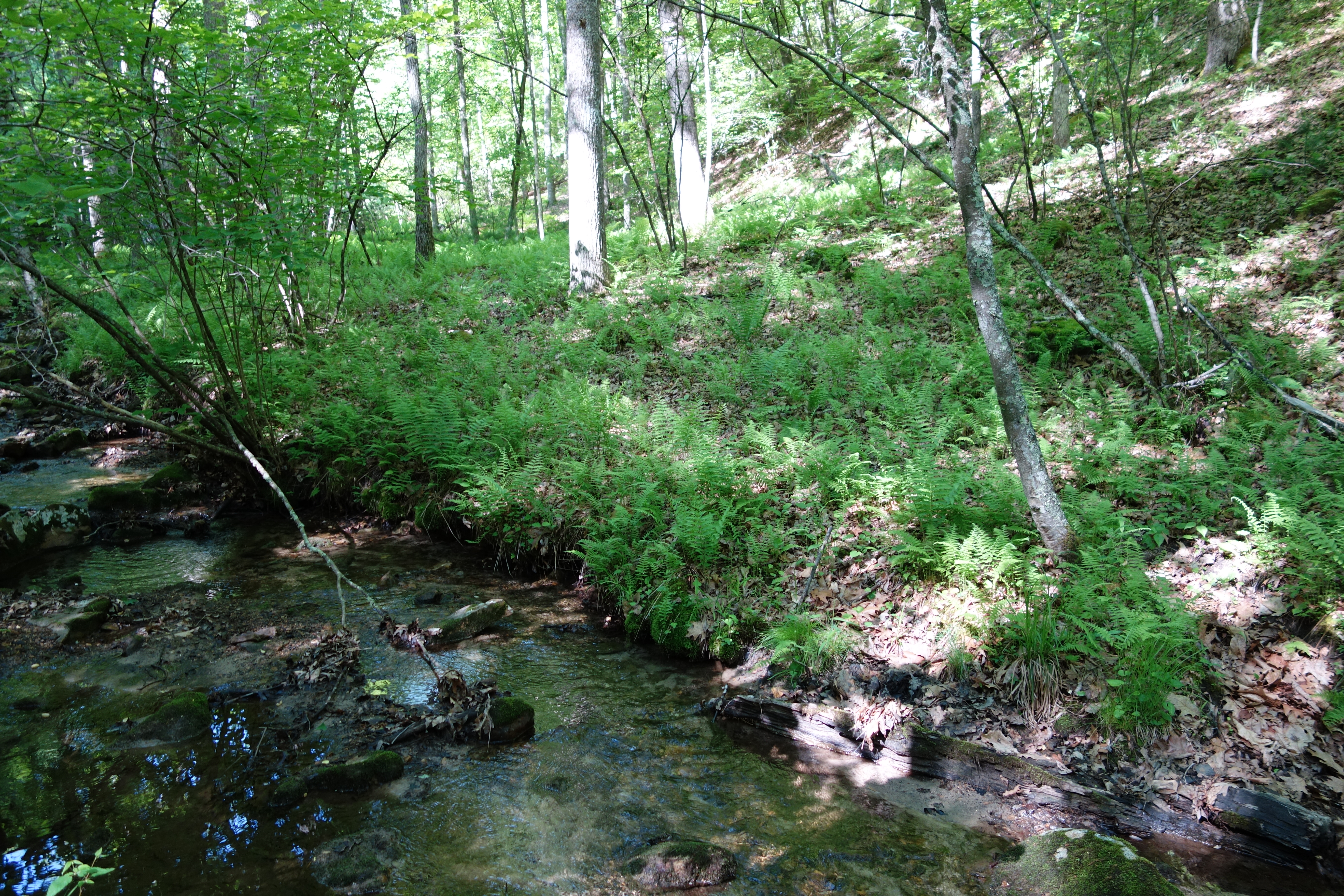
DSC01039 008 Stream xing
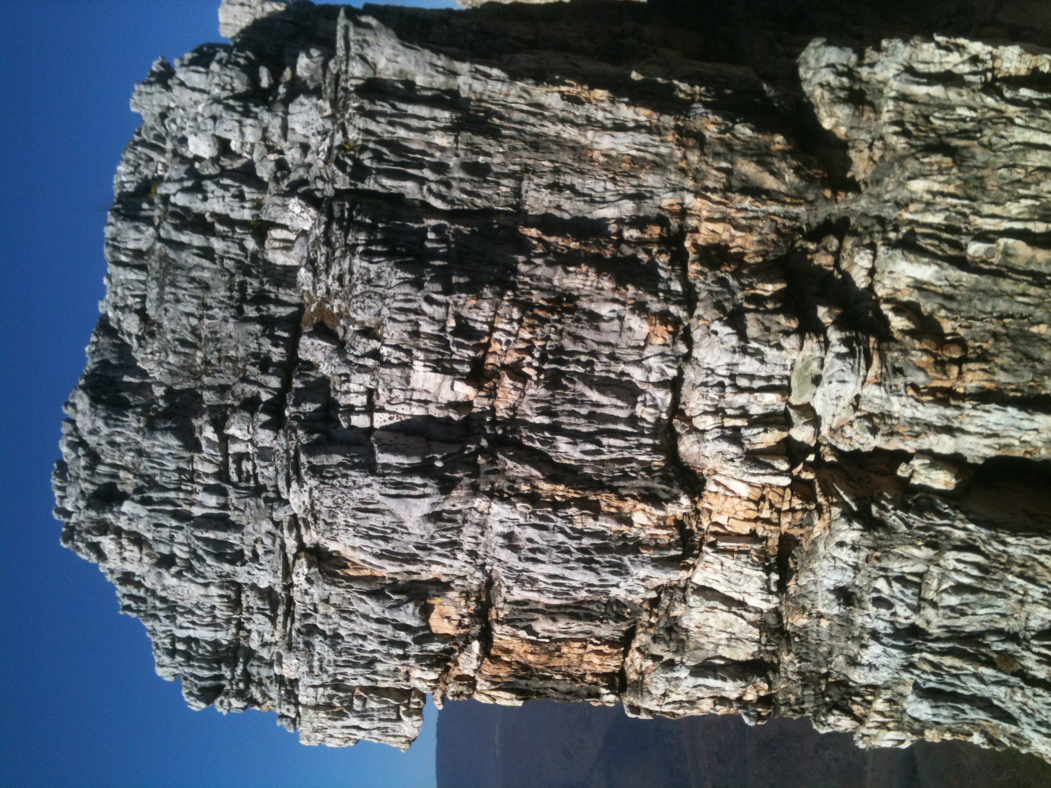
The Chimney itself
DSC01055 012 Stream xing
DSC01049 010 Stream xing
DSC00966 003 Jct Squirrel Gap Tr Lost River
DSC01356 009 Stream Xing
DSC01340 004 Stream Xing
Topographic Map of County Rte 53, Ford Hill Rd, Rio, WV, USA
Find elevation by address:

Places near County Rte 53, Ford Hill Rd, Rio, WV, USA:
4671 Co Rte 3/1
4671 Co Rte 3/1
Rio
Kirby
10000 Wv-29
1874 Lower Arkansaw Rd
Paul's Woods Road
Deep Woods Run
Capon
1235 Lost River Ridge Cir
999 Lost River Ridge Cir
999 Lost River Ridge Cir
999 Lost River Ridge Cir
1168 Arkansaw Rd
South Lick Run Road
South Lick Run Road
553 Warden Lake A B Dr
WV-55, Wardensville, WV, USA
902 Warden Hollow West Rd
Delray
Recent Searches:
- Elevation of Lampiasi St, Sarasota, FL, USA
- Elevation of Elwyn Dr, Roanoke Rapids, NC, USA
- Elevation of Congressional Dr, Stevensville, MD, USA
- Elevation of Bellview Rd, McLean, VA, USA
- Elevation of Stage Island Rd, Chatham, MA, USA
- Elevation of Shibuya Scramble Crossing, 21 Udagawacho, Shibuya City, Tokyo -, Japan
- Elevation of Jadagoniai, Kaunas District Municipality, Lithuania
- Elevation of Pagonija rock, Kranto 7-oji g. 8"N, Kaunas, Lithuania
- Elevation of Co Rd 87, Jamestown, CO, USA
- Elevation of Tenjo, Cundinamarca, Colombia