Elevation of Warden Hollow West Rd, Wardensville, WV, USA
Location: United States > West Virginia > Hardy County > Capon > Wardensville >
Longitude: -78.599328
Latitude: 39.116053
Elevation: -10000m / -32808feet
Barometric Pressure: 295KPa
Elevation Map:
Satellite Map:
Related Photos:

We weren't expecting the waist-deep snow-drifts... neither were my shoes, but this view made it worth the pain.???? (debatably)

Van Buren Furnace No. 1 - View from loading ramp, Aug. 27, 1963

DSC01432 027 View

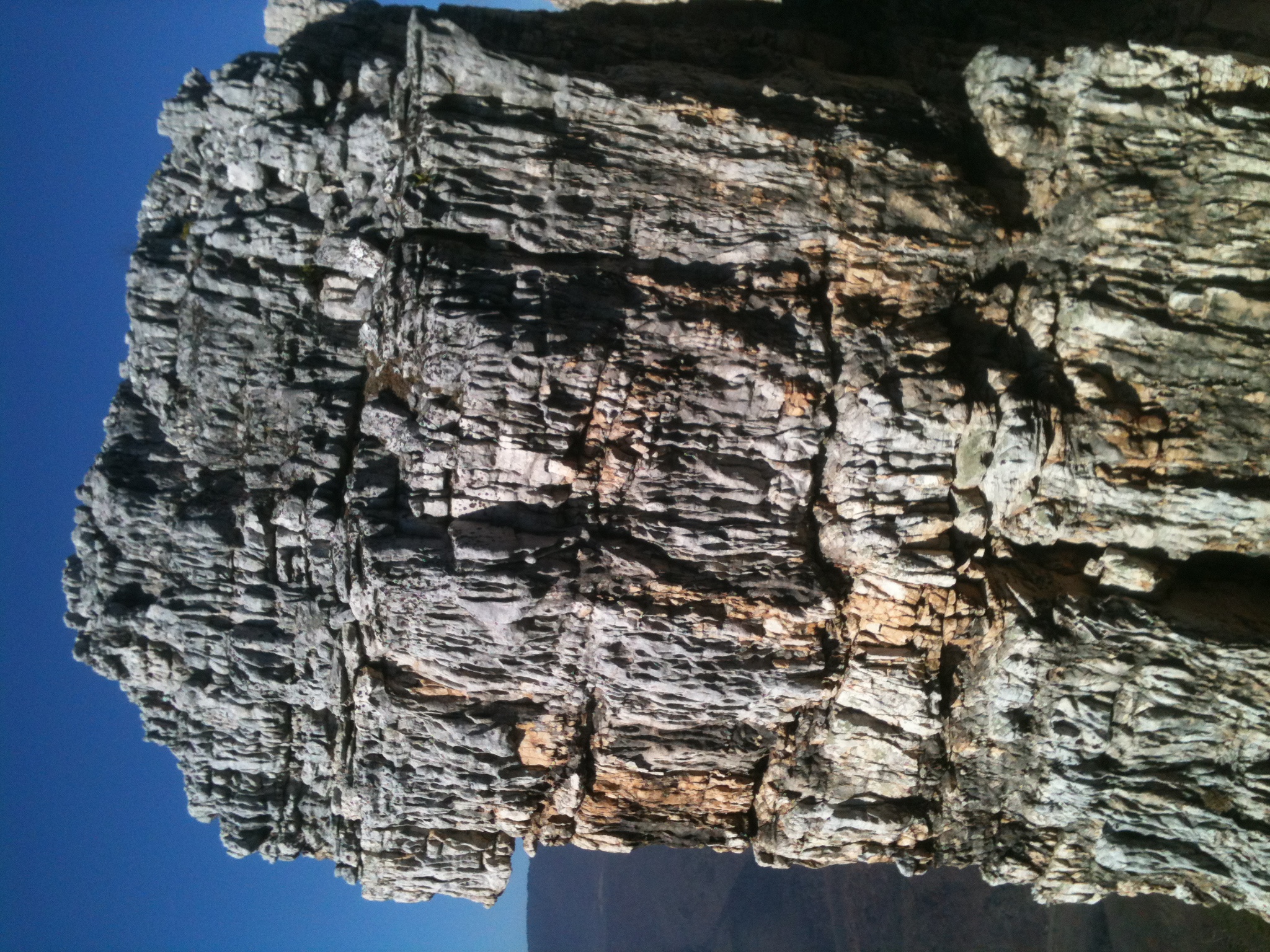
View from Black Rock

Taking in the view from the #frontporch of the #oldredstore in #caponsprings

View from Boonesboro Washington Monument

View from Black Rock

The #morning #panorama #view from the #cottage @ #caponsprings

DSC02420.JPG

DSC00997 006 Max Spitzer Overlook view

DSC01431 027 View

DSC00996 006 Max Spitzer Overlook view

Lost River

DSC01433 027 View

2016 Big Schloss (10)

Golden Eagle immature GBBC

trout run valley, wv

Camera Roll-263

Camera Roll-264

Sunrise at White Rock Cliff

halfmoon run

DSC00594 137 TT jct Gander Rock Rd
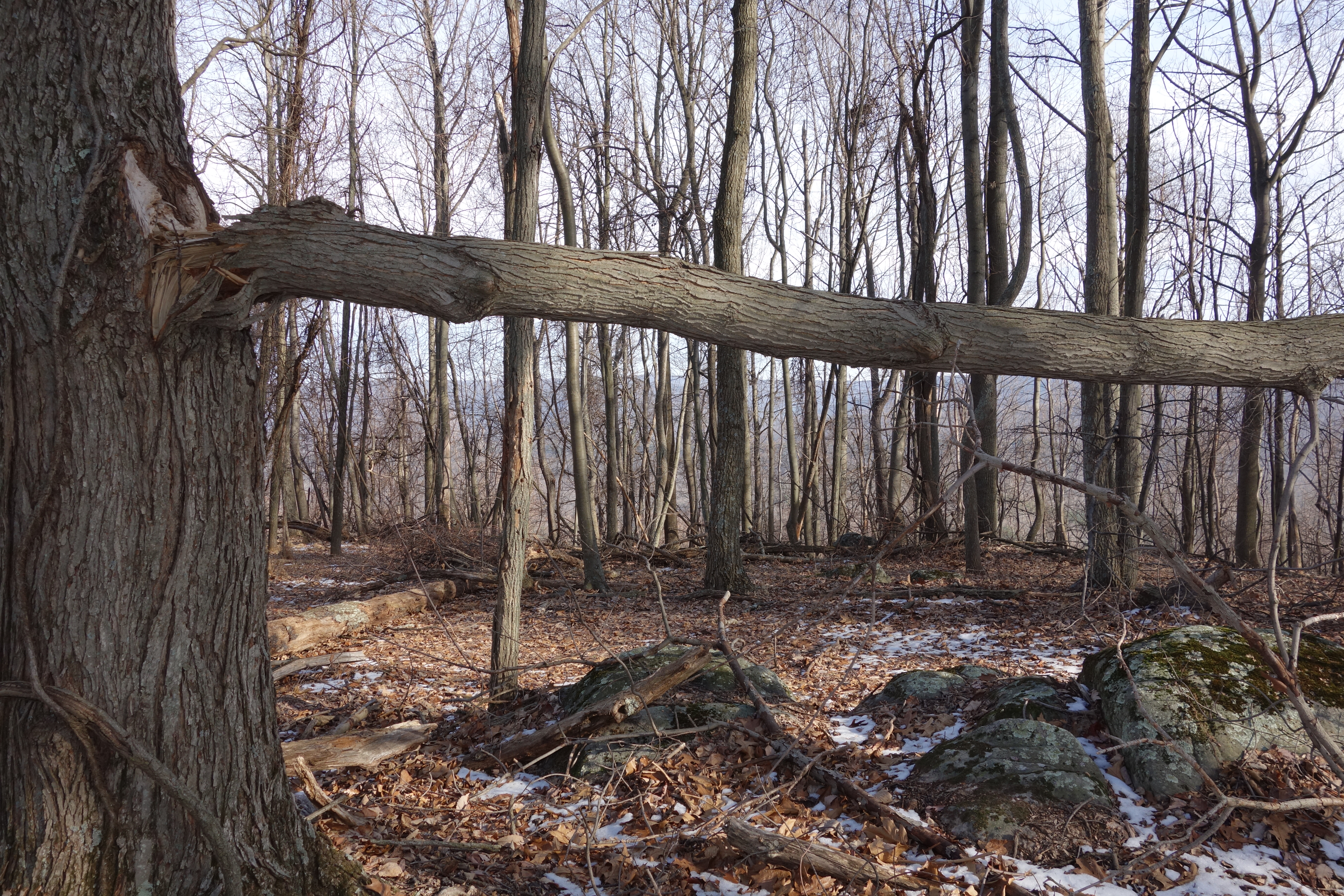
DSC01002 008 Blowdown

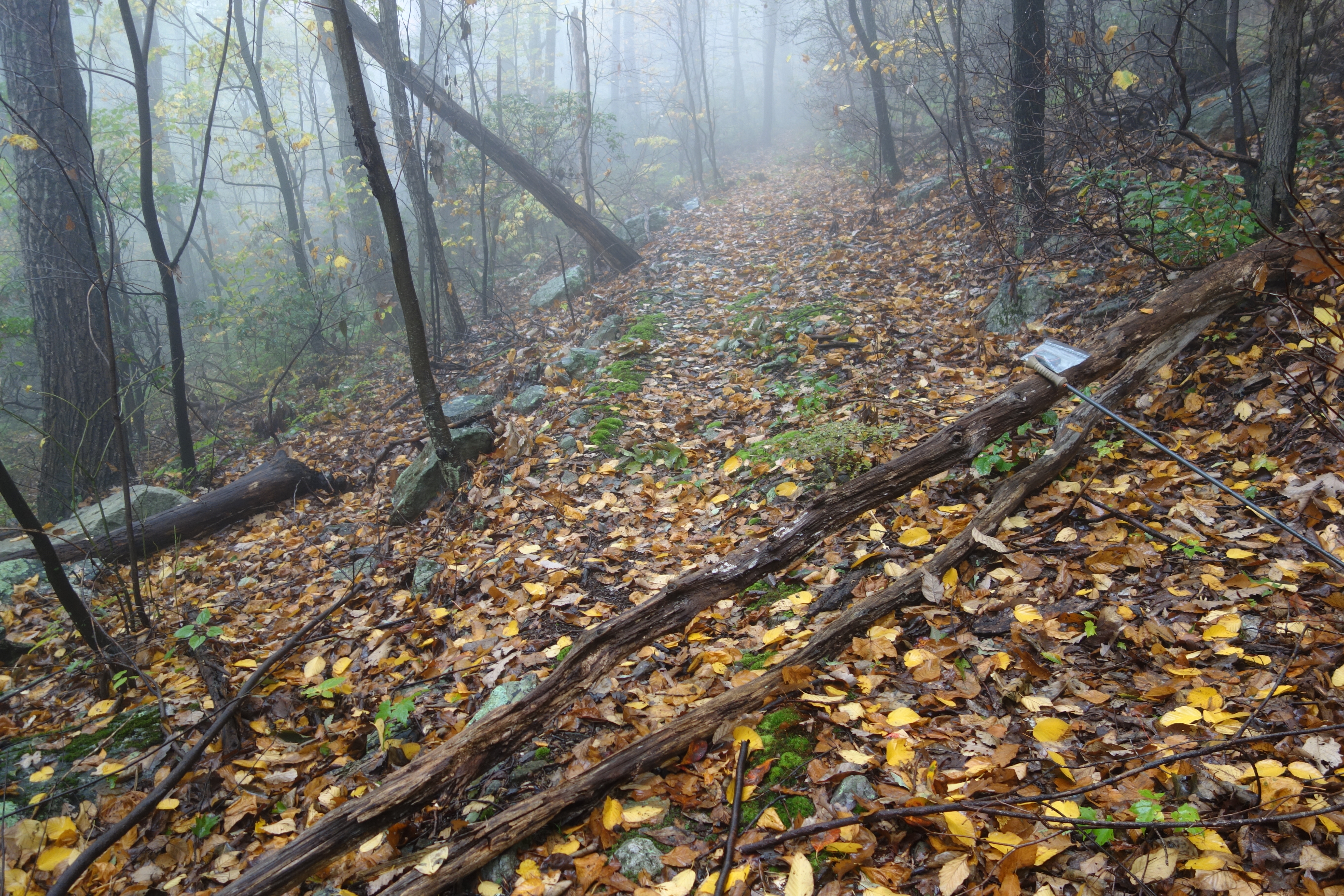
DSC01039 008 Stream xing

DSC00974 005 Utility Tr near Squirrel Gap Tr Old Rte 55

DSC00587 135 TT jct Gander Rock Rd and Waites Run Rd

DSC00651 151 Gerhard Shelter Tr jct Spring Tr
DSC00604 140 TT BD

Pine Draft Farm in Hampshire County, W.Va.
The Chimney itself

DSC01049 010 Stream xing

DSC01055 012 Stream xing

DSC00966 003 Jct Squirrel Gap Tr Lost River

DSC01356 009 Stream Xing

DSC_7145.JPG

DSC01340 004 Stream Xing
Topographic Map of Warden Hollow West Rd, Wardensville, WV, USA
Find elevation by address:

Places near Warden Hollow West Rd, Wardensville, WV, USA:
553 Warden Lake A B Dr
Baker Mountain Drive
15 W Main St
70 W Main St
70 W Main St
70 W Main St
Wardensville
1235 Lost River Ridge Cir
Peaks View Drive
999 Lost River Ridge Cir
999 Lost River Ridge Cir
999 Lost River Ridge Cir
1379 Co Rte 23/10
10000 Wv-29
Evergreen Farms Drive
Deep Woods Run
2631 Trout Run Rd
Rio
Delray
Paul's Woods Road
Recent Searches:
- Elevation of Congressional Dr, Stevensville, MD, USA
- Elevation of Bellview Rd, McLean, VA, USA
- Elevation of Stage Island Rd, Chatham, MA, USA
- Elevation of Shibuya Scramble Crossing, 21 Udagawacho, Shibuya City, Tokyo -, Japan
- Elevation of Jadagoniai, Kaunas District Municipality, Lithuania
- Elevation of Pagonija rock, Kranto 7-oji g. 8"N, Kaunas, Lithuania
- Elevation of Co Rd 87, Jamestown, CO, USA
- Elevation of Tenjo, Cundinamarca, Colombia
- Elevation of Côte-des-Neiges, Montreal, QC H4A 3J6, Canada
- Elevation of Bobcat Dr, Helena, MT, USA