Elevation of Ridgley Road, Ridgley Rd, Wilson Creek, VA, USA
Location: United States > Virginia > Grayson County > Wilson Creek > Whitetop >
Longitude: -81.605833
Latitude: 36.5910991
Elevation: 1066m / 3497feet
Barometric Pressure: 89KPa
Elevation Map:
Satellite Map:
Related Photos:

Signs of Fall - HFF
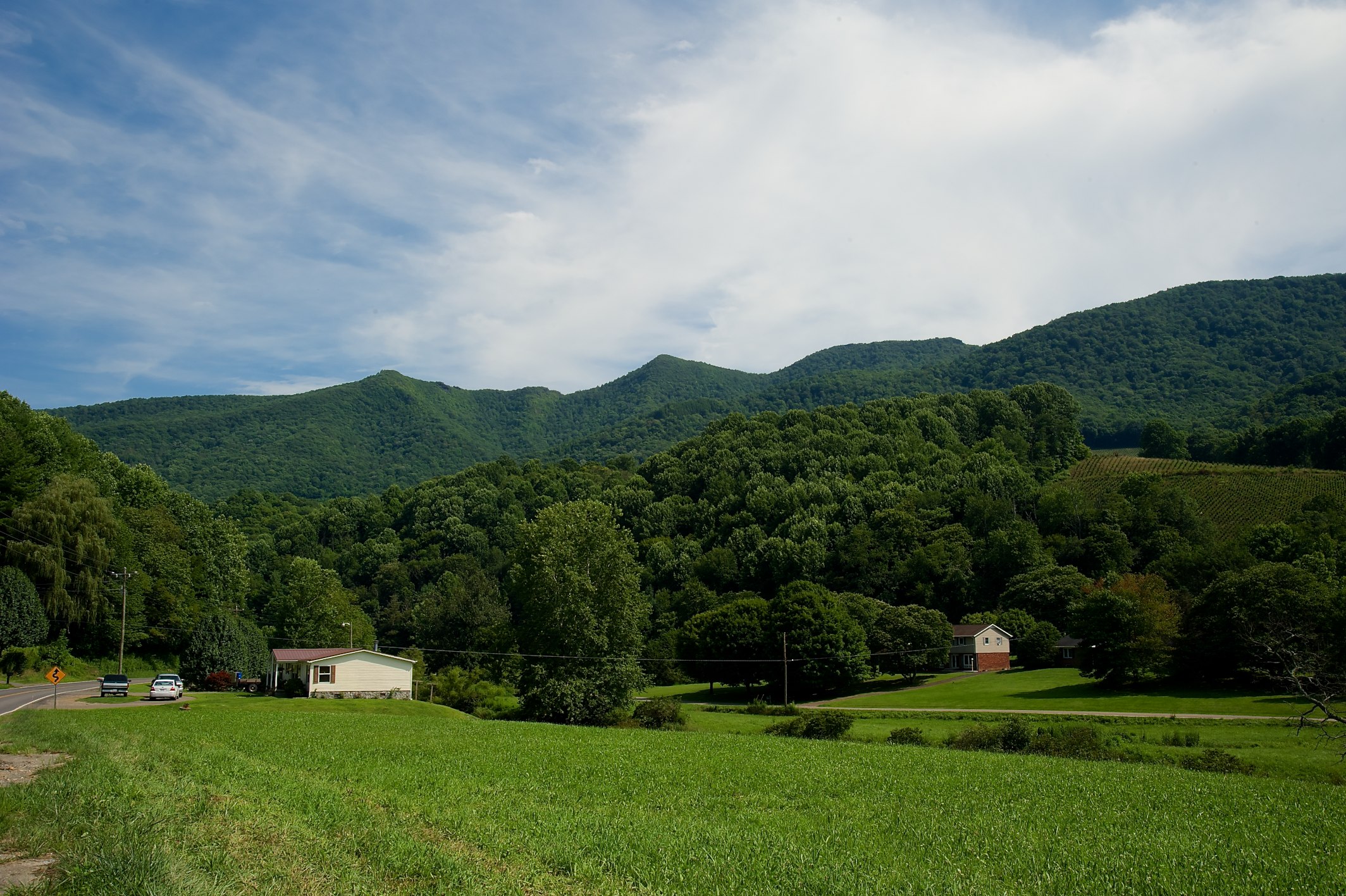
Grayson Highlands

Green Cove Station

View Toward Buzzard Rocks from Whitetop Mountain - Mt. Rogers, NRA, Whitetop, VA

Appalachian NST on Whitetop Mountain, VA (2)

Whitetop Laurel Creek

Wilburn Ridge Pano

Morning on Wilburn Ridge

Wilburn Ridge Sunrise

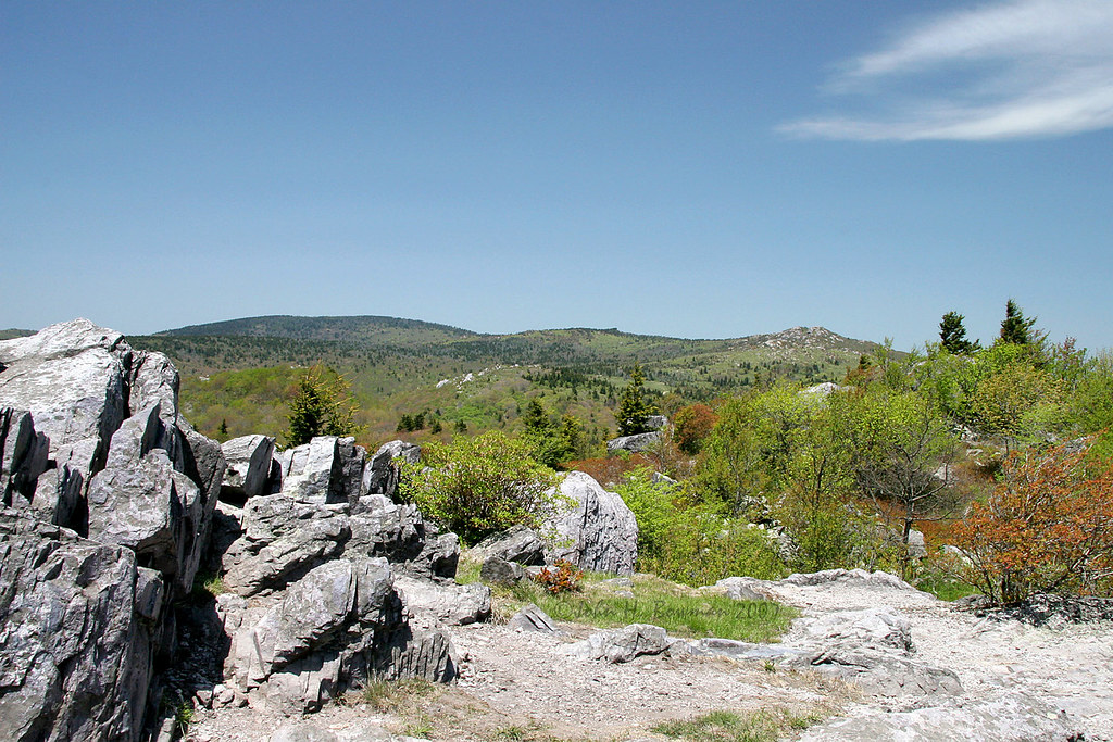
Buzzard Rock, Appalachian NST, VA (3)

Grayson Highlands Sunset

Whitetop Mountain, Appalachian NST, VA

VA601 to Buzzard Rock, Appalachian NST, VA (13)

Buzzard Rock, Appalachian NST, VA (2)

Nuclear Blast

VA601 Trailhead, Appalachian NST, VA

Virginia Creeper Trail 360

View of W4C/EM-014 - Three Top Mountain

Virginia Creeper Trail 360

Virginia Creeper Trail 360
View of W4C/EM-014 - Three Top Mountain

A little color...Sugarlands Overlook, Grayson Highlands State Park [Explored]

Christmas Tree Farms...

Grayson Highlands
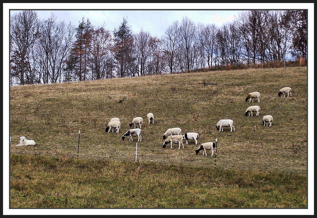
The Herder

Whitetop Laurel Creek

Upper Gentry Creek Falls HDR

HFF! Fence from Old First Peak Trail

Cabin on Cabin Creek

Grayson Highlands

Sugarland Overlook - Grayson Highlands State Park

Starry Starry Evening

Pony at Grayson Highlands State Park, Virginia

Two Hikers taking in the Grayson County view.

Wilburn Ridge Sunset

Wilburn Ridge Trail

Evening Pano
Topographic Map of Ridgley Road, Ridgley Rd, Wilson Creek, VA, USA
Find elevation by address:

Places near Ridgley Road, Ridgley Rd, Wilson Creek, VA, USA:
Ridgley Road
1058 Dolinger Rd
1058 Dolinger Rd
2248 Whitetop Gap Rd
3750 Rip Shin Rd
Rip Shin Road
Rip Shin Road
1141 Old Park Rd
1698 Old Park Rd
2248 Whitetop Gap Rd
Whitetop
1492 State Rd 1361
16727 Highlands Pkwy
16627 Highlands Pkwy
178 Holiday Ln
655 Pond Mountain Ln
Wilburn Road
634 Bluff Ln
41496 Waters Rd
2245 Little Windfall Rd
Recent Searches:
- Elevation of Lampiasi St, Sarasota, FL, USA
- Elevation of Elwyn Dr, Roanoke Rapids, NC, USA
- Elevation of Congressional Dr, Stevensville, MD, USA
- Elevation of Bellview Rd, McLean, VA, USA
- Elevation of Stage Island Rd, Chatham, MA, USA
- Elevation of Shibuya Scramble Crossing, 21 Udagawacho, Shibuya City, Tokyo -, Japan
- Elevation of Jadagoniai, Kaunas District Municipality, Lithuania
- Elevation of Pagonija rock, Kranto 7-oji g. 8"N, Kaunas, Lithuania
- Elevation of Co Rd 87, Jamestown, CO, USA
- Elevation of Tenjo, Cundinamarca, Colombia