Elevation of Pond Mountain Ln, Whitetop, VA, USA
Location: United States > Virginia > Grayson County > Wilson Creek > Whitetop >
Longitude: -81.644671
Latitude: 36.5959658
Elevation: 1119m / 3671feet
Barometric Pressure: 89KPa
Elevation Map:
Satellite Map:
Related Photos:
Morning on Wilburn Ridge

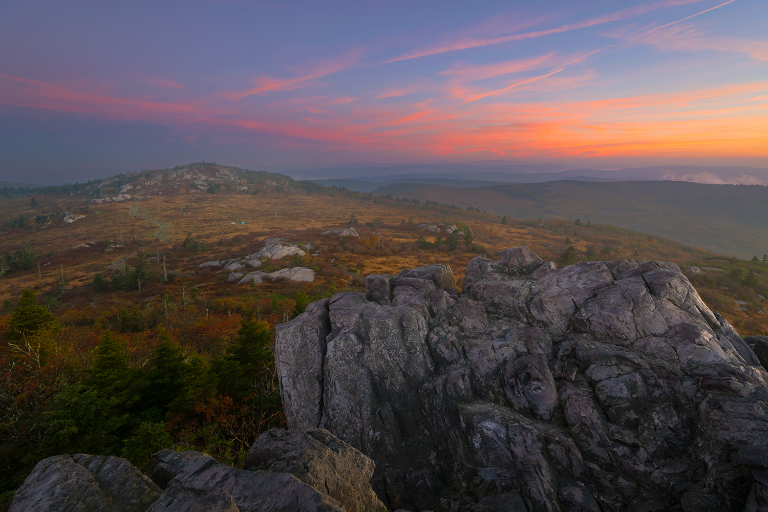
Grayson Highlands Sunset
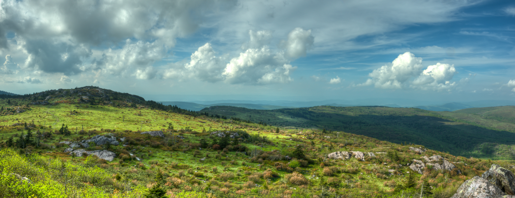
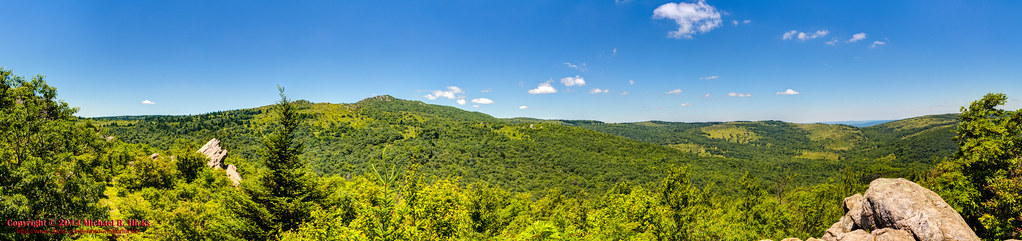
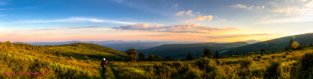
Wilburn Ridge Pano
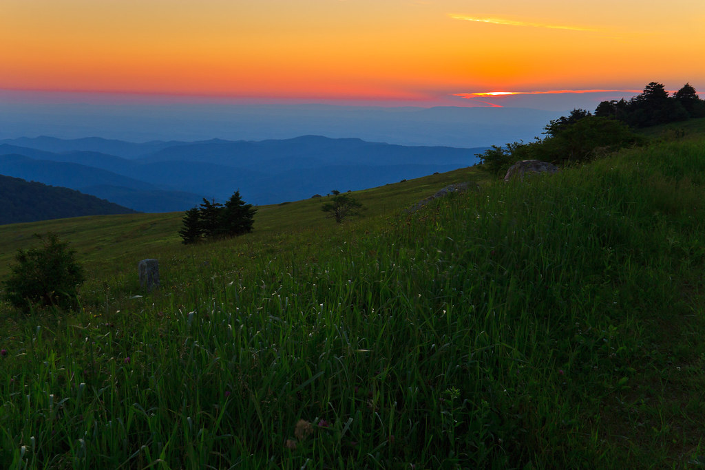
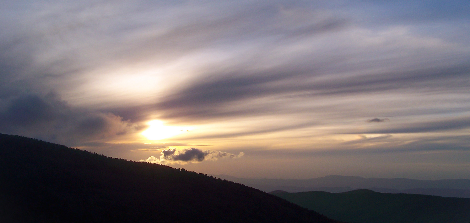
Sunset on White Top

Wilburn Ridge Sunrise

Nuclear Blast
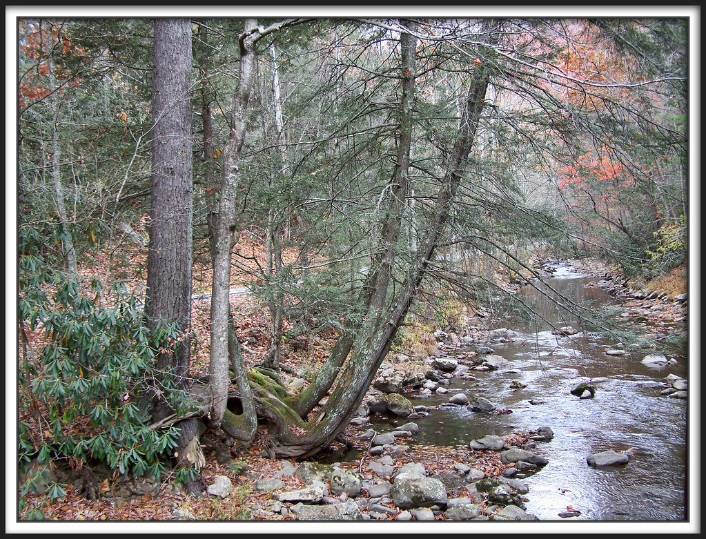
Whitetop Laurel Creek
Mt Rogers Sunset

Sunset Over Mt Rogers

View From Whitetop Summit I - Mt. Rogers, NRA, Whitetop, VA
AT View of Mt. Rogers

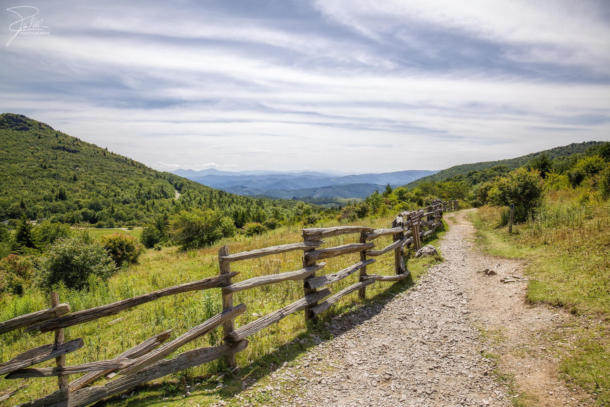
Wilburn Ridge Trail
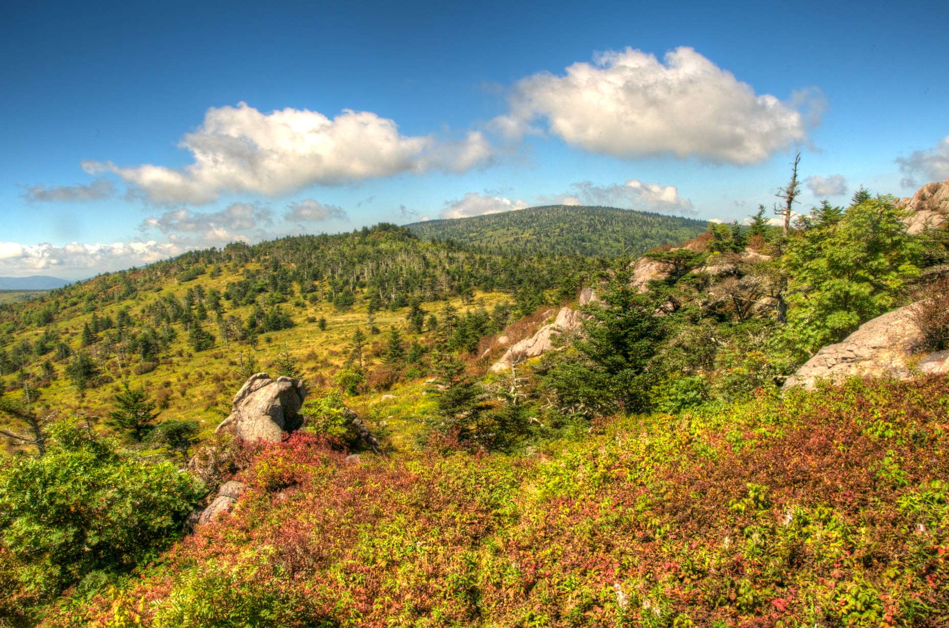
Grayson Highlands

Appalachian Yorkie
Morning in the Grayson Highlands
Mt Rogers Backpack - Another view on the AT - July 5, 2014

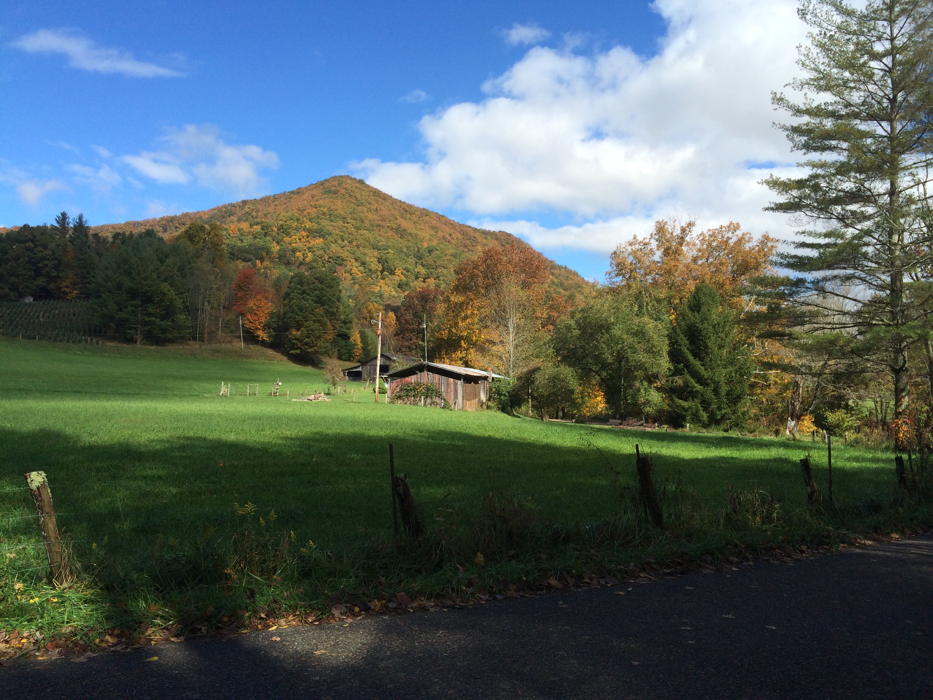
Mobile Home

3D Grayson Highlands Park

RAD20130320.08 White Top

IMG_5371.jpg
VCT View 1
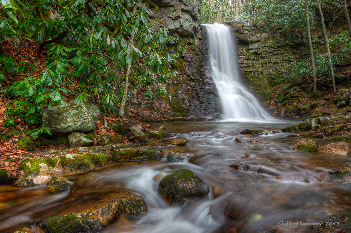
Upper Gentry Creek Falls HDR

Downhill Slide

Wilburn Ridge Sunset

Virginia Creeper Trail Crossing 21
Grayson Highlands

Morning Rhododendron

Wilburn Ridge Sunset
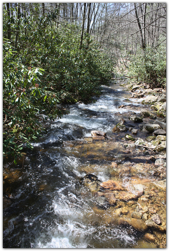
Whitetop Laurel Creek
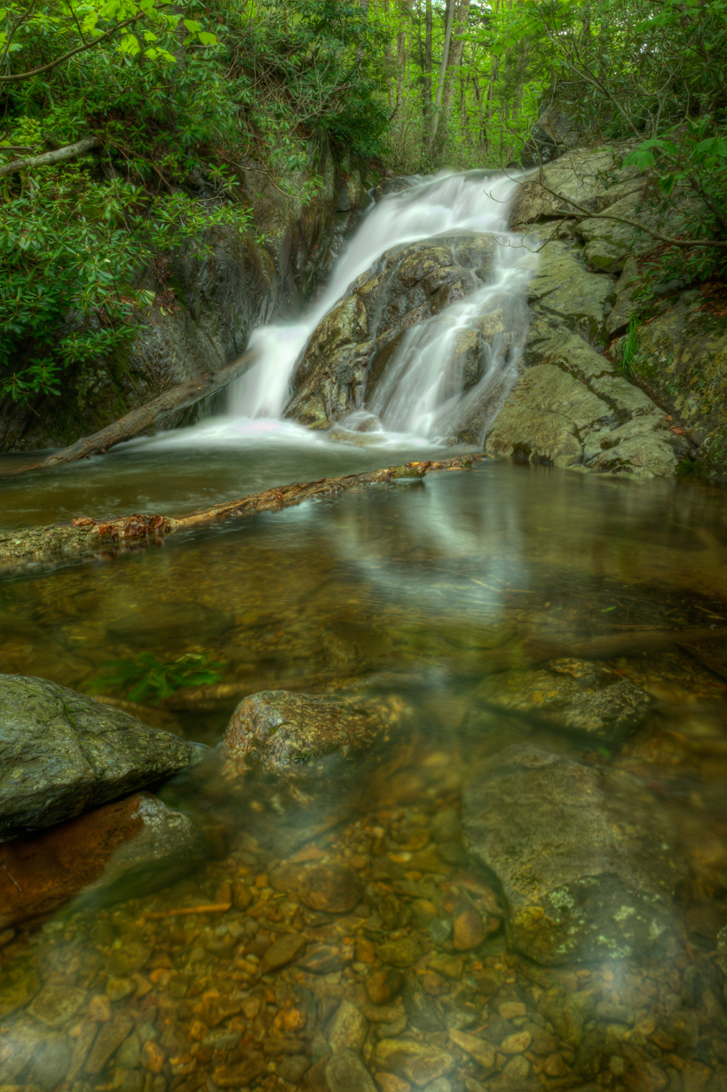
Upper Cabin Creek Falls
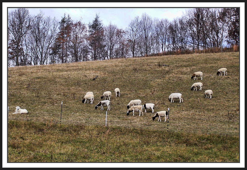
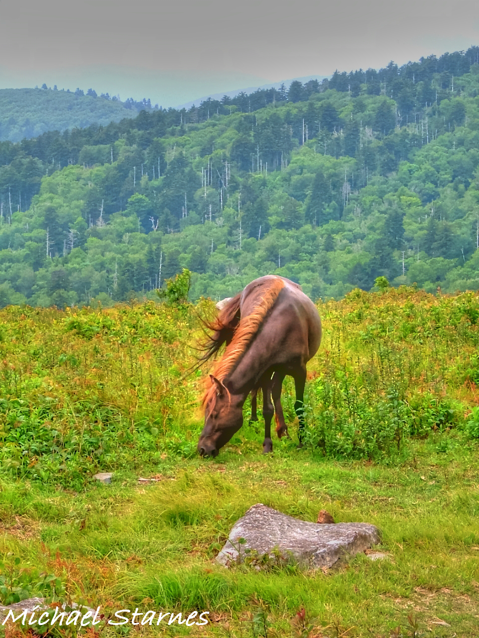
The Herder

Sugarland Overlook - Grayson Highlands State Park
Mt Rogers Backpack - On the AT - Golden Hour at Thomas Knob - July 5, 2014

Virginia Creeper Trail 2014
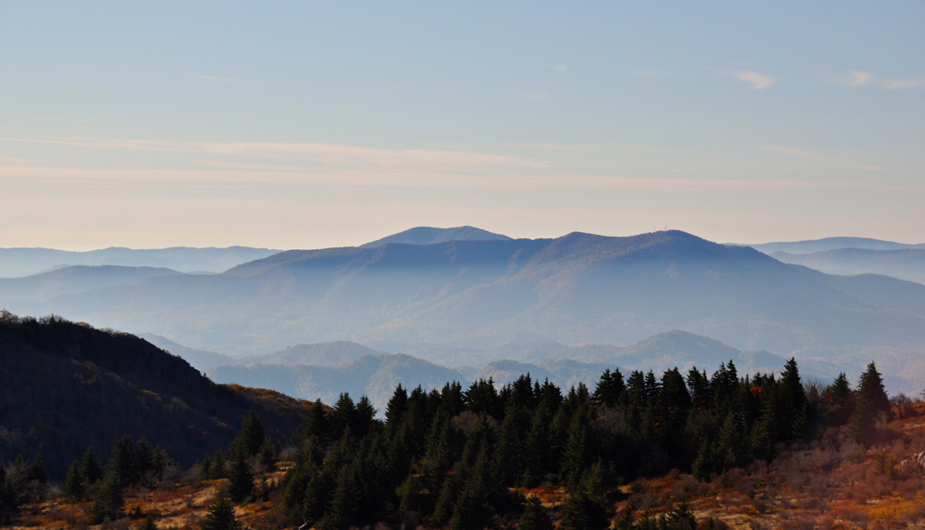
Mount Rogers
Topographic Map of Pond Mountain Ln, Whitetop, VA, USA
Find elevation by address:

Places near Pond Mountain Ln, Whitetop, VA, USA:
Pond Mountain Lane
2248 Whitetop Gap Rd
Whitetop
1698 Old Park Rd
2248 Whitetop Gap Rd
41496 Waters Rd
Wilburn Road
1141 Old Park Rd
3750 Rip Shin Rd
Ridgley Road
Ridgley Road
16727 Highlands Pkwy
1058 Dolinger Rd
1058 Dolinger Rd
16627 Highlands Pkwy
Rip Shin Road
Rip Shin Road
Big Hill
Whitetop Mountain
Creek Junction Trailhead Of Virginia Creeper National Recreation Trail
Recent Searches:
- Elevation of Corso Fratelli Cairoli, 35, Macerata MC, Italy
- Elevation of Tallevast Rd, Sarasota, FL, USA
- Elevation of 4th St E, Sonoma, CA, USA
- Elevation of Black Hollow Rd, Pennsdale, PA, USA
- Elevation of Oakland Ave, Williamsport, PA, USA
- Elevation of Pedrógão Grande, Portugal
- Elevation of Klee Dr, Martinsburg, WV, USA
- Elevation of Via Roma, Pieranica CR, Italy
- Elevation of Tavkvetili Mountain, Georgia
- Elevation of Hartfords Bluff Cir, Mt Pleasant, SC, USA