Elevation of Wilson Creek, VA, USA

Location: United States > Virginia > Grayson County >

Longitude: -81.405918

Latitude: 36.6652132

Elevation: 859m / 2818feet

Barometric Pressure: 91KPa

Elevation Map:

elevation map of Wilson Creek, VA, USA

Satellite Map:

Satellite map of Wilson Creek, VA, USA

Related Photos:

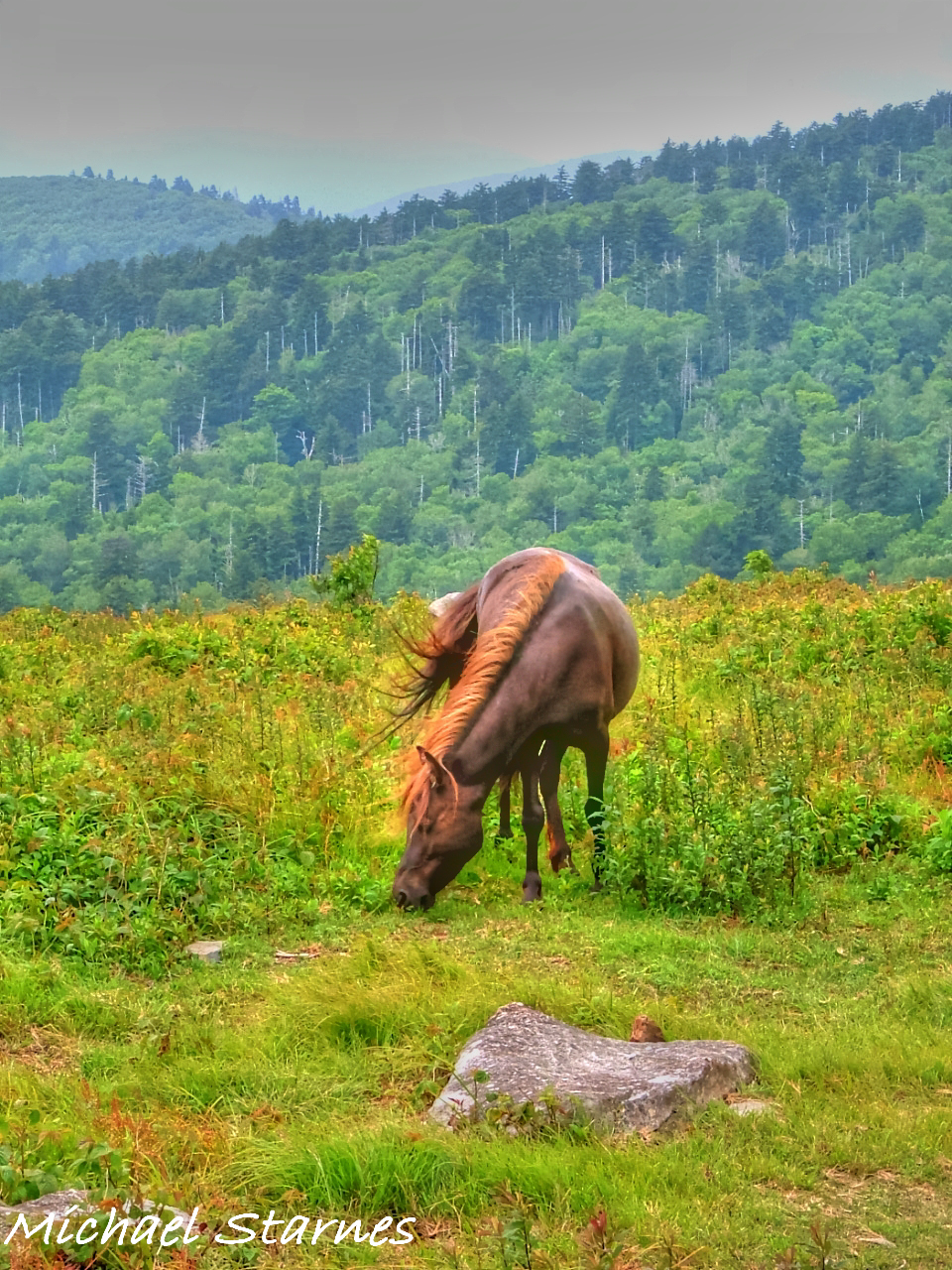
Morning on Wilburn Ridge
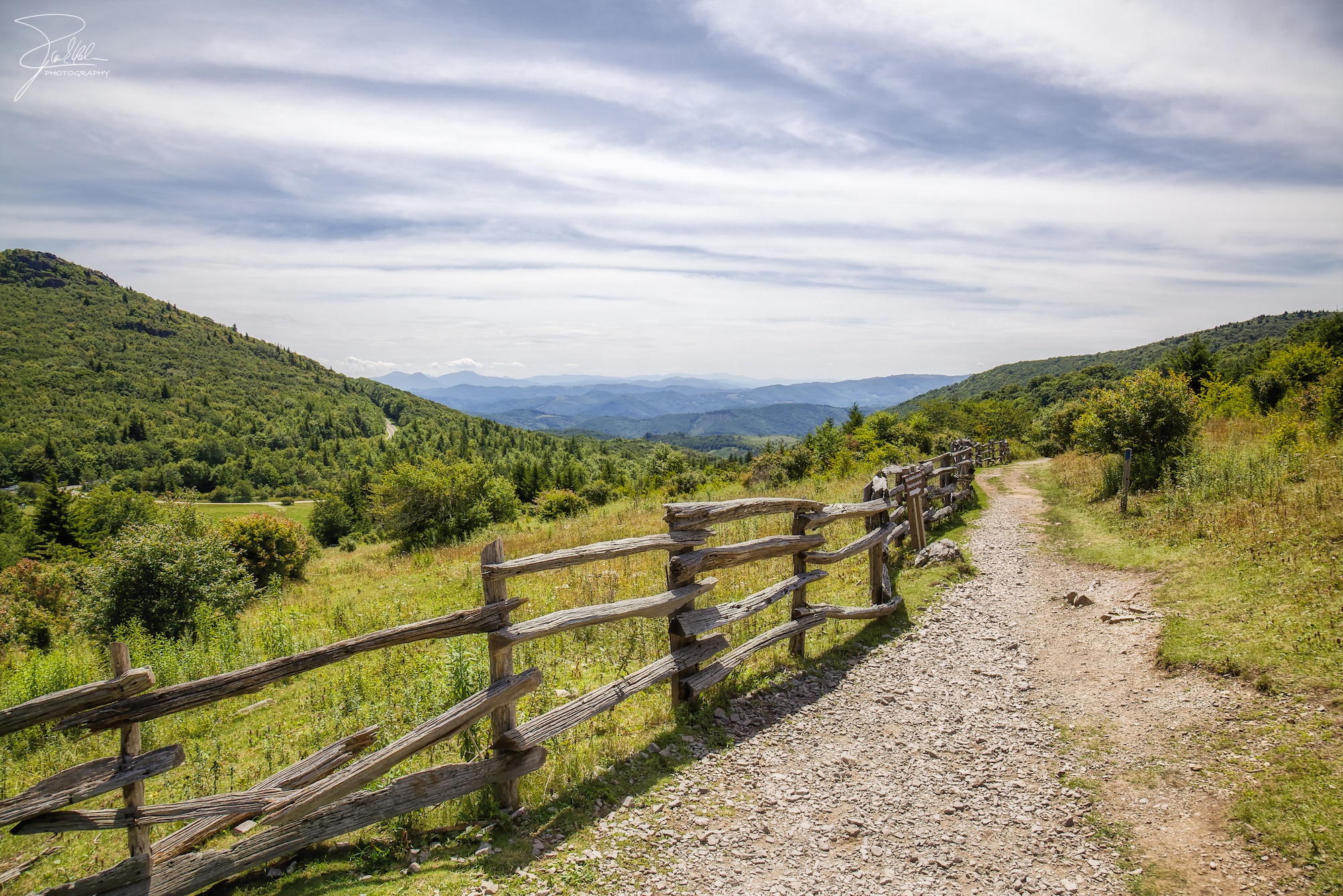
Wilburn Ridge Trail
virginia may 2007 graysoncounty mtrogers graysonhighlandstatepark
Grayson Highlands
Grayson Highlands Sunset
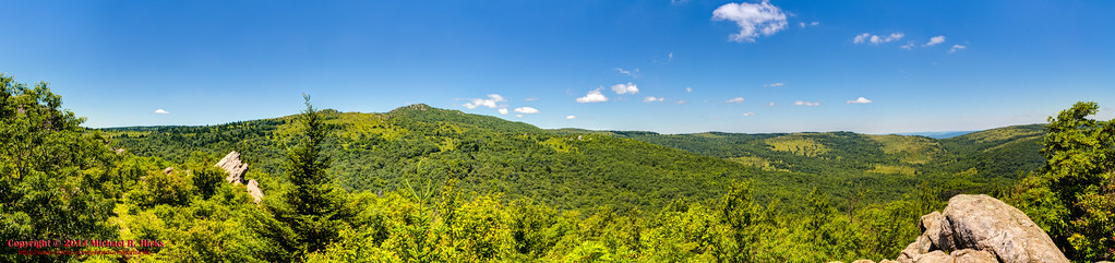
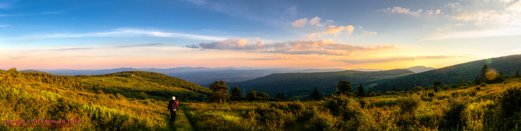
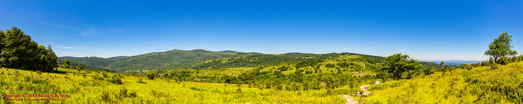
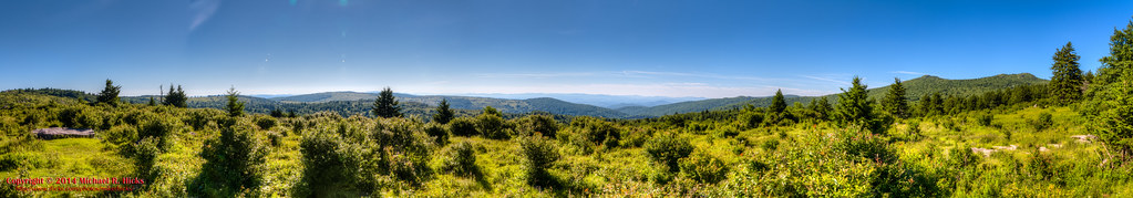
Wilburn Ridge Pano
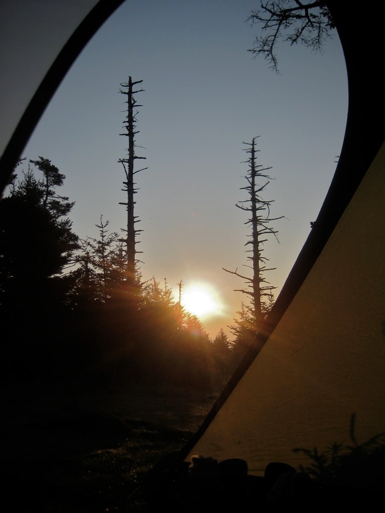
Wilburn Ridge Sunrise
virginia yorkshireterrier appalachiantrail graysonhighlandsstatepark wilburnridge mountrogersrecreationarea dogsthathike
Appalachian Yorkie
Nuclear Blast
fog landscape virginia highlands nikon day hikingtrail appalachianmountains scenicview graysonhighlands graysoncounty 18300mm graysonhighlandsstatepark virginiastateparks graysoncountyvirginia nikond5000 skyemarthaler
Morning in the Grayson Highlands
panorama usa landscape geotagged virginia unitedstates hiking backpacking hdr millcreek appalachiantrail ptgui photomatix mouthofwilson mountrogersnationalrecreationarea canon7d sigma18250mmf3563dcmacrooshsm geo:lat=3664322979 geo:lon=8150175392
Mt Rogers Backpack - Another view on the AT - July 5, 2014
Mobile Home
3d anaglyph finepix fujifilm stereoscope w3 ejc real3d 3dphotography 3dphoto 3dphotos fujifilm3d finepix3d fujifilmfinepix3d anaglyphphoto elijahjameschristman anaglyphphotos fujifilmw3 fujifilmfinepixreal3dw3 anaglyphphotograph fujifilmfinepixreal3d finepixw3 fujifilmfinepixw3 finepixrealw3 fujifilmfinepixrealw33d elichristman elijahchristman elichristmanrva
3D Grayson Highlands Park
statepark mountain mountains rural virginia view unitedstates va valley stonewall appalachian appalachia rockwall graysonhighlands southwestvirginia southernvirginia mouthofwilson graysonhighlandsstatepark
IMG_5371.jpg
statepark mountain mountains fog rural virginia day view unitedstates va valley stonewall appalachian appalachia rockwall graysonhighlands southwestvirginia southernvirginia mouthofwilson graysonhighlandsstatepark
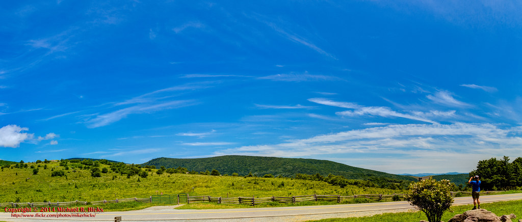
Valley view from Grayson Highlands State Park
Room With A View
june tom landscape virginia nikon va d40 mouthofwilson 2013
views around the homestead (2)
statepark nature virginia autumncolors graysonhighlands
Mt View Grayson Highlands SP VA 4431
water june tom creek virginia nikon va d40 mouthofwilson 2013
views around the homestead (9)
Mt Rogers Sunset
plants fern green leaves june tom virginia nikon va d40 mouthofwilson 2013
views around the homestead (8)
Sunset Over Mt Rogers
Wilburn Ridge Sunset
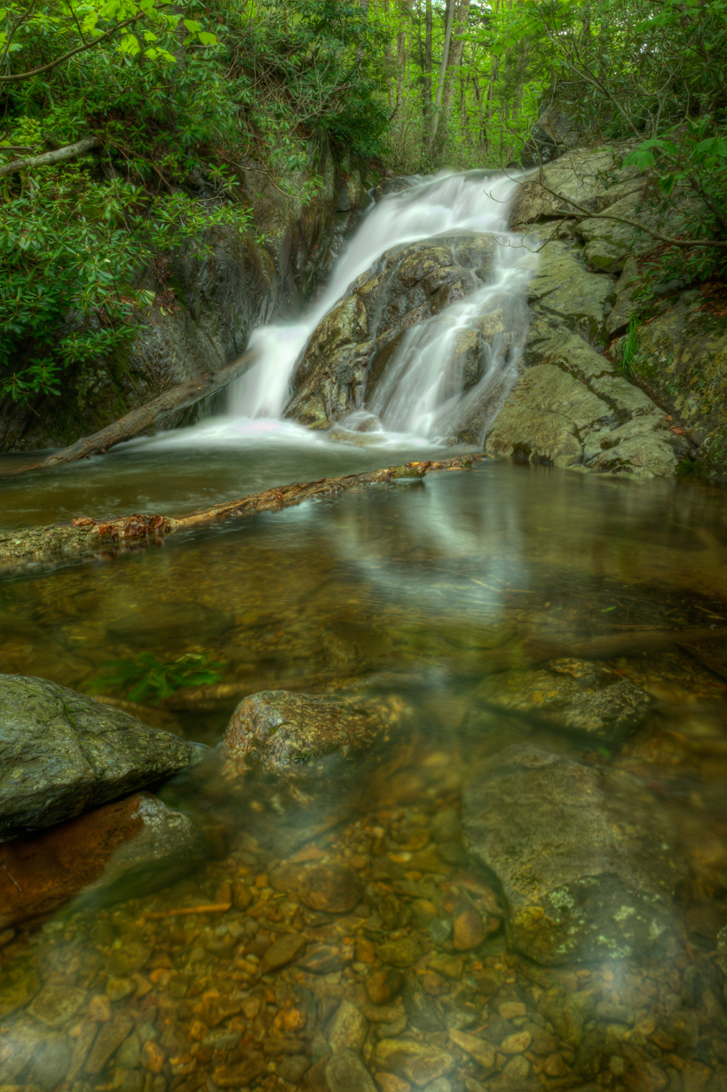
Upper Cabin Creek Falls
autumn color fall foliage sugarland graysonhighlandsstatepark
Sugarland Overlook - Grayson Highlands State Park
sunset panorama usa landscape geotagged virginia unitedstates hiking backpacking hdr appalachiantrail whitetop fairwood ptgui photomatix thomasknob mountrogersnationalrecreationarea canon7d sigma18250mmf3563dcmacrooshsm geo:lat=3665561074 geo:lon=8153577715
Mt Rogers Backpack - On the AT - Golden Hour at Thomas Knob - July 5, 2014
Wilburn Ridge Sunset
Mount Rogers
panorama usa landscape geotagged virginia unitedstates hiking backpacking scales hdr appalachiantrail fairwood ptgui photomatix mouthofwilson mountrogersnationalrecreationarea canon7d sigma18250mmf3563dcmacrooshsm geo:lat=3666678785 geo:lon=8148314192
Mt Rogers Backpack - Panorama from the hills above Scales - July 5, 2014
canon virginia unitedstates hiking trail f11 24105 mouthofwilson ef24105mmf4lisusm graysonhighlandsstatepark canoneos5dmarkii
Grayson Highlands
panorama usa landscape geotagged virginia unitedstates hiking backpacking hdr troutdale pinemountain fairwood ptgui photomatix mountrogersnationalrecreationarea canon7d sigma18250mmf3563dcmacrooshsm geo:lat=3666916667 geo:lon=8151241764
Pine Mountain Panorama
panorama usa landscape geotagged virginia unitedstates hiking backpacking hdr troutdale pinemountain fairwood ptgui photomatix mountrogersnationalrecreationarea canon7d sigma18250mmf3563dcmacrooshsm geo:lat=3666916667 geo:lon=8151241764
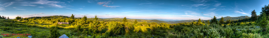
Pine Mountain - Early Morning Panorama
Morning Rhododendron
panorama usa sunrise landscape geotagged virginia unitedstates hiking backpacking hdr appalachiantrail whitetop fairwood ptgui photomatix thomasknob mountrogersnationalrecreationarea canon7d sigma18250mmf3563dcmacrooshsm geo:lat=3665561074 geo:lon=8153577715
Mt Rogers Backpack - Sunrise on Thomas Knob - July 6, 2014
canon virginia unitedstates hiking trail f11 24105 mouthofwilson ef24105mmf4lisusm graysonhighlandsstatepark canoneos5dmarkii
Grayson Highlands
panorama usa landscape geotagged virginia unitedstates hiking backpacking hdr troutdale ptgui photomatix bighill elkgarden mountrogersnationalrecreationarea canon7d sigma18250mmf3563dcmacrooshsm geo:lat=3664623200 geo:lon=8158363200
Getting started at the Elk Garden Trailhead