Elevation of Troutdale Hwy, Troutdale, VA, USA
Location: United States > Virginia > Grayson County > Wilson Creek > Troutdale >
Longitude: -81.437093
Latitude: 36.6995871
Elevation: 956m / 3136feet
Barometric Pressure: 90KPa
Elevation Map:
Satellite Map:
Related Photos:

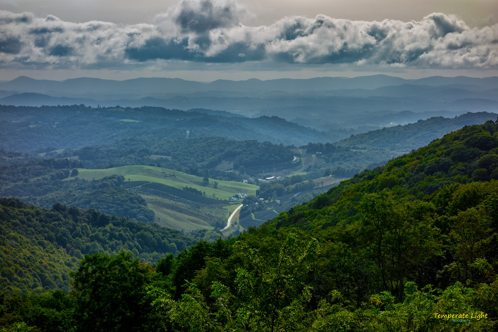
AT Panorama – 9/19/2020
The Ranger’s View

The Vista 01

Signs of Fall - HFF

Forgotten House in the Hills

Amazing Views

Morning Light

3D Grayson Highlands Park

3D Grayson Highlands Park
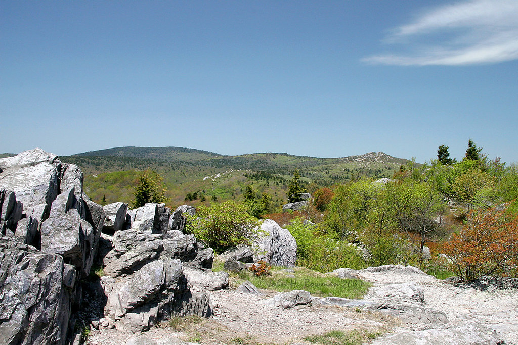
Grayson Highlands

Two Hikers taking in the Grayson County view.

Wilburn Ridge Trail

Wilburn Ridge Pano

Morning on Wilburn Ridge

Wilburn Ridge Sunrise

Views on Wilburn Ridge

Grayson Highlands Sunset

Views on Wilburn Ridge

Appalachian Yorkie
Views on Wilburn Ridge

Mobile Home

A little color...Sugarlands Overlook, Grayson Highlands State Park [Explored]

Grayson Highlands

HFF! Fence from Old First Peak Trail

Grayson Highlands

SWVA -- My Second Home
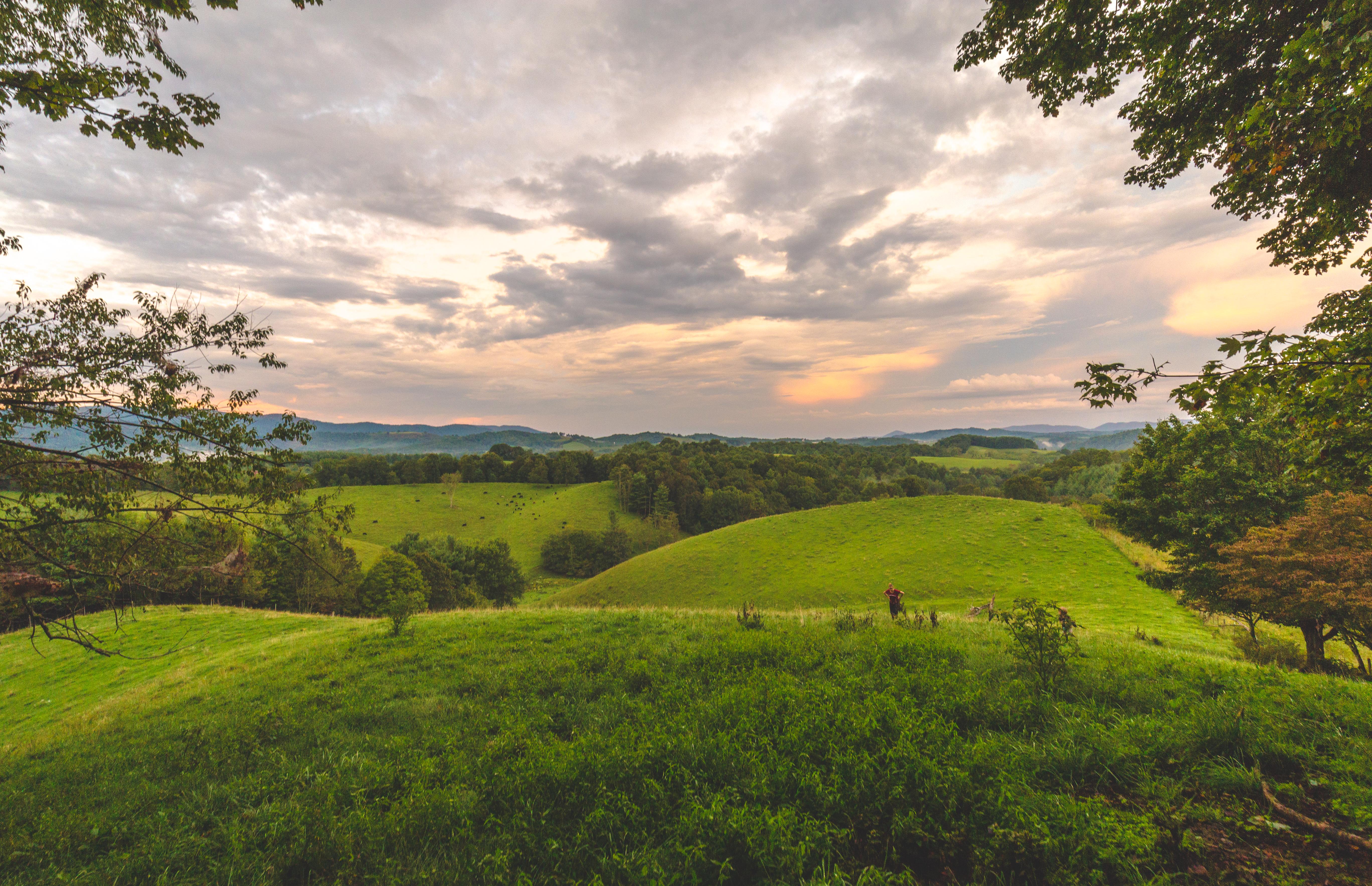
Virginia Hills Sunset

Fox Creek

Over the Hills and Far Away

Mt Rogers Backpack - Sunrise on Thomas Knob - July 6, 2014

Christmas Tree Farms...

Cabin on Cabin Creek
Topographic Map of Troutdale Hwy, Troutdale, VA, USA
Find elevation by address:

Places near Troutdale Hwy, Troutdale, VA, USA:
Troutdale Highway
128 Sapphire Ln
Ripshin Road
9883 Troutdale Hwy
Troutdale
Rocky Hollow Road
Rocky Hollow Road
390 Hidden Hollow Rd
647 Hidden Hollow Ln
4111 Rocky Hollow Rd
3748 Rocky Hollow Rd
8222 Troutdale Hwy
426 Hazelwood Rd
180 Country View Rd
Wilson Creek
4528 Ripshin Rd
Grant
296 Hunt Club Rd
656 Little Wilson Rd
65 Green Gable Rd
Recent Searches:
- Elevation of Congressional Dr, Stevensville, MD, USA
- Elevation of Bellview Rd, McLean, VA, USA
- Elevation of Stage Island Rd, Chatham, MA, USA
- Elevation of Shibuya Scramble Crossing, 21 Udagawacho, Shibuya City, Tokyo -, Japan
- Elevation of Jadagoniai, Kaunas District Municipality, Lithuania
- Elevation of Pagonija rock, Kranto 7-oji g. 8"N, Kaunas, Lithuania
- Elevation of Co Rd 87, Jamestown, CO, USA
- Elevation of Tenjo, Cundinamarca, Colombia
- Elevation of Côte-des-Neiges, Montreal, QC H4A 3J6, Canada
- Elevation of Bobcat Dr, Helena, MT, USA