Elevation of Hidden Hollow Rd, Troutdale, VA, USA
Location: United States > Virginia > Grayson County > Wilson Creek > Troutdale >
Longitude: -81.444946
Latitude: 36.6838355
Elevation: -10000m / -32808feet
Barometric Pressure: 295KPa
Elevation Map:
Satellite Map:
Related Photos:

Forgotten House in the Hills

Mobile Home

Wilburn Ridge Trail

Morning on Wilburn Ridge

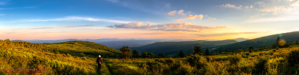
Wilburn Ridge Pano

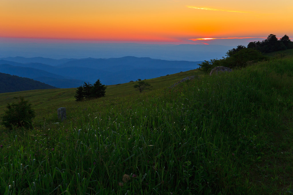
Grayson Highlands Sunset
Sunset on White Top
Sunset on White Top

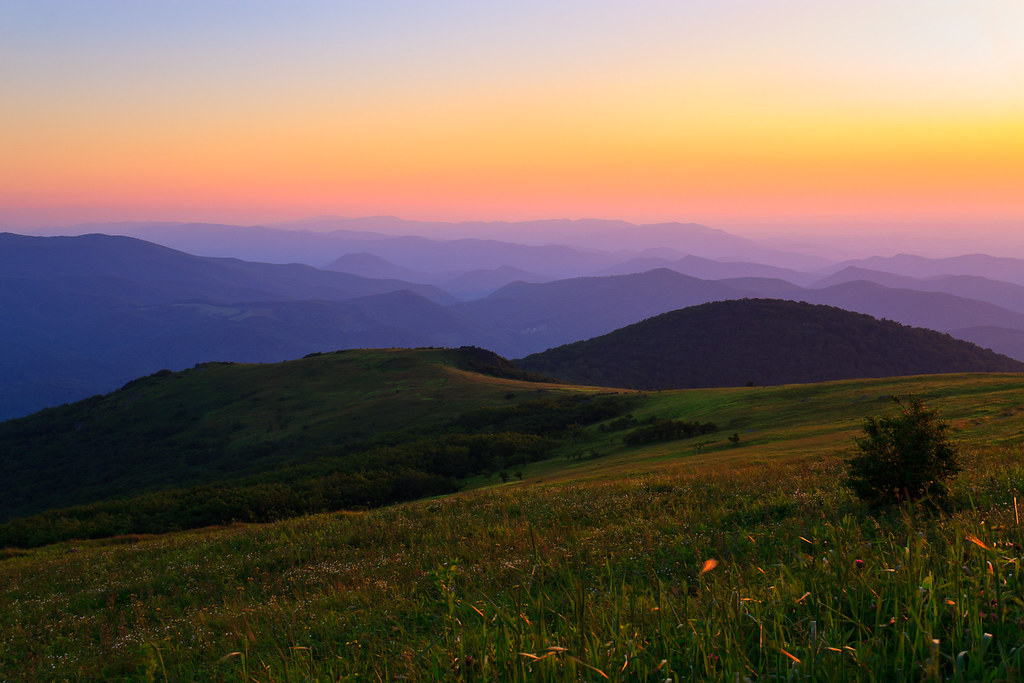
Wilburn Ridge Sunrise

View Toward Buzzard Rocks from Whitetop Mountain - Mt. Rogers, NRA, Whitetop, VA

Appalachian Yorkie

Nuclear Blast

3D Grayson Highlands Park

View Toward Buzzard Rocks from Whitetop Mountain - Mt. Rogers, NRA, Whitetop, VA

Morning in the Grayson Highlands

View From Whitetop Summit I - Mt. Rogers, NRA, Whitetop, VA

3D Grayson Highlands Park

View from The Scales

Mt Rogers Backpack - Another view on the AT - July 5, 2014

Mountain View @ Grayson Highlands State Park - Mouth of Wilson, VA

RAD2013.03.20.08 White Top

Christmas Tree Farms...

Fox Creek

Wilburn Ridge Sunset

Upper Cabin Creek Falls
Mt Rogers Backpack - On the AT - Golden Hour at Thomas Knob - July 5, 2014
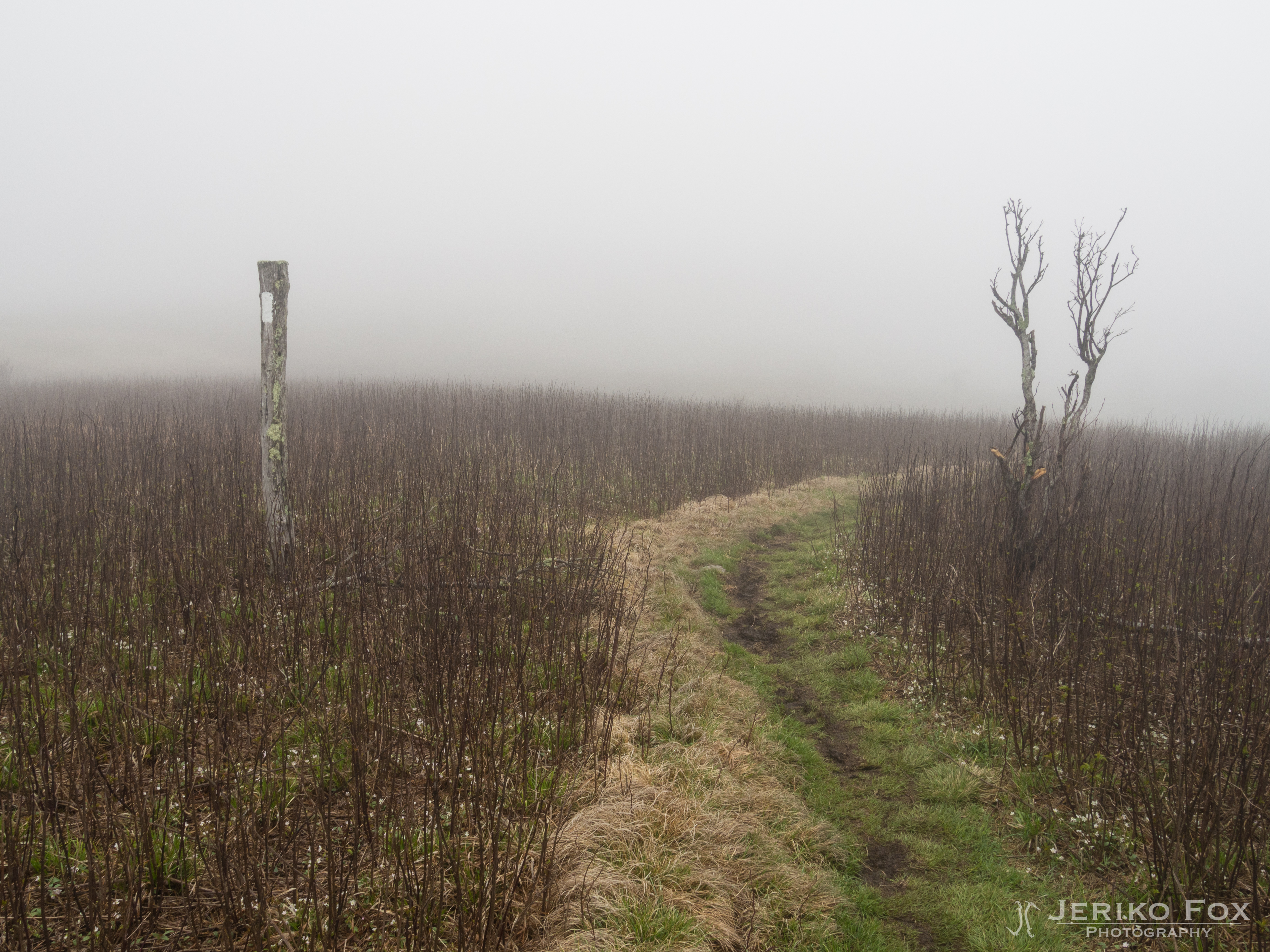
JFRM-2017-04-7524.jpg

Mount Rogers Summit
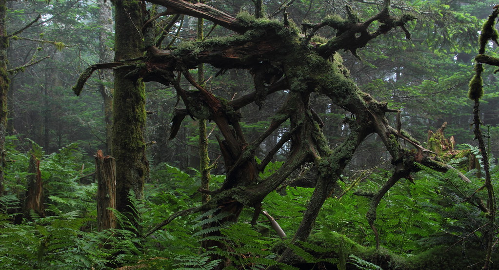
Web of Wood

Mount Rogers
Topographic Map of Hidden Hollow Rd, Troutdale, VA, USA
Find elevation by address:

Places near Hidden Hollow Rd, Troutdale, VA, USA:
647 Hidden Hollow Ln
4111 Rocky Hollow Rd
Rocky Hollow Road
Rocky Hollow Road
3748 Rocky Hollow Rd
9883 Troutdale Hwy
10401 Troutdale Hwy
128 Sapphire Ln
Troutdale Highway
Troutdale
Ripshin Road
8222 Troutdale Hwy
426 Hazelwood Rd
Wilson Creek
Grant
656 Little Wilson Rd
180 Country View Rd
65 Green Gable Rd
296 Hunt Club Rd
5680 Troutdale Hwy
Recent Searches:
- Elevation of Congressional Dr, Stevensville, MD, USA
- Elevation of Bellview Rd, McLean, VA, USA
- Elevation of Stage Island Rd, Chatham, MA, USA
- Elevation of Shibuya Scramble Crossing, 21 Udagawacho, Shibuya City, Tokyo -, Japan
- Elevation of Jadagoniai, Kaunas District Municipality, Lithuania
- Elevation of Pagonija rock, Kranto 7-oji g. 8"N, Kaunas, Lithuania
- Elevation of Co Rd 87, Jamestown, CO, USA
- Elevation of Tenjo, Cundinamarca, Colombia
- Elevation of Côte-des-Neiges, Montreal, QC H4A 3J6, Canada
- Elevation of Bobcat Dr, Helena, MT, USA