Elevation of Little Windfall Rd, Lansing, NC, USA
Location: United States > North Carolina > Ashe County > Piney Creek > Lansing >
Longitude: -81.567563
Latitude: 36.564219
Elevation: 1135m / 3724feet
Barometric Pressure: 88KPa
Elevation Map:
Satellite Map:
Related Photos:

Signs of Fall - HFF

Appalachian NST on Whitetop Mountain, VA (2)

Morning in the Grayson Highlands

Sunset Over Mt Rogers
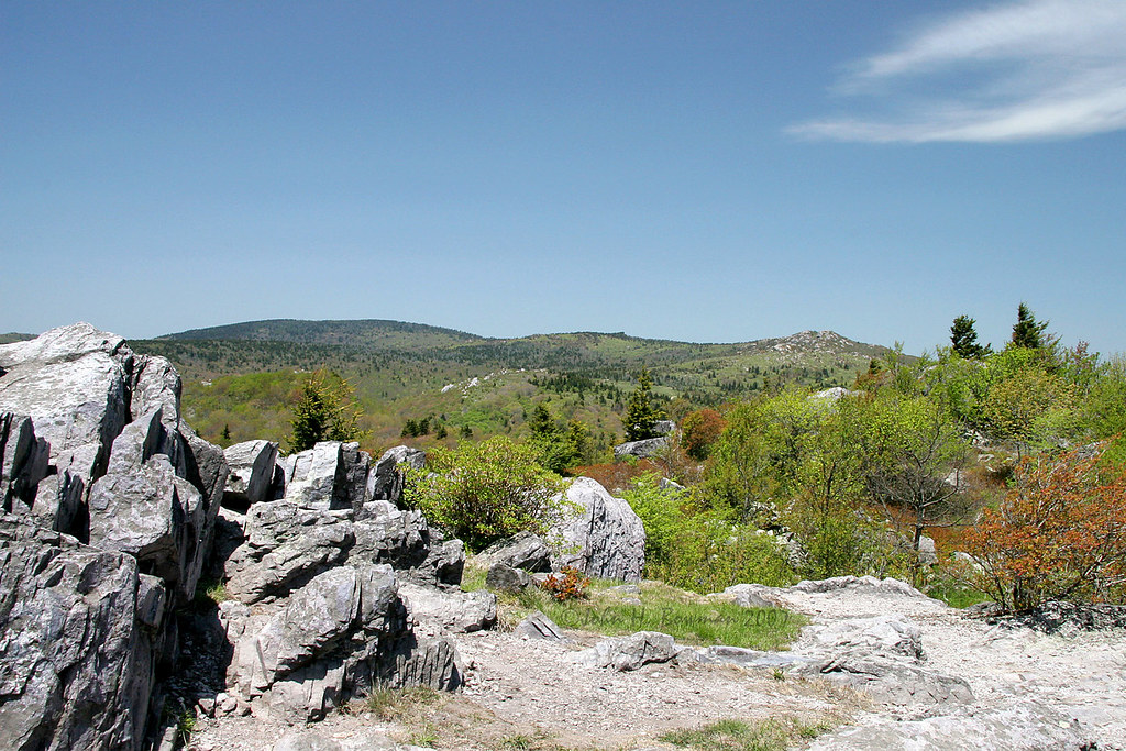
Grayson Highlands

Green Cove Station

View Toward Buzzard Rocks from Whitetop Mountain - Mt. Rogers, NRA, Whitetop, VA

Two Hikers taking in the Grayson County view.

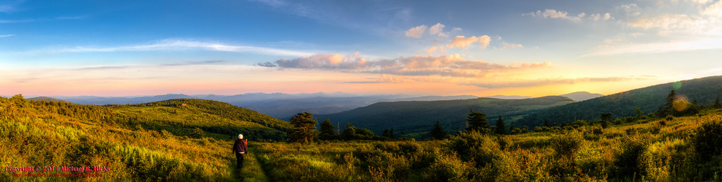
Wilburn Ridge Pano

Wilburn Ridge Trail

Morning on Wilburn Ridge

Wilburn Ridge Sunrise

Buzzard Rock, Appalachian NST, VA (3)

Grayson Highlands Sunset

Views on Wilburn Ridge

Appalachian Yorkie

Mobile Home
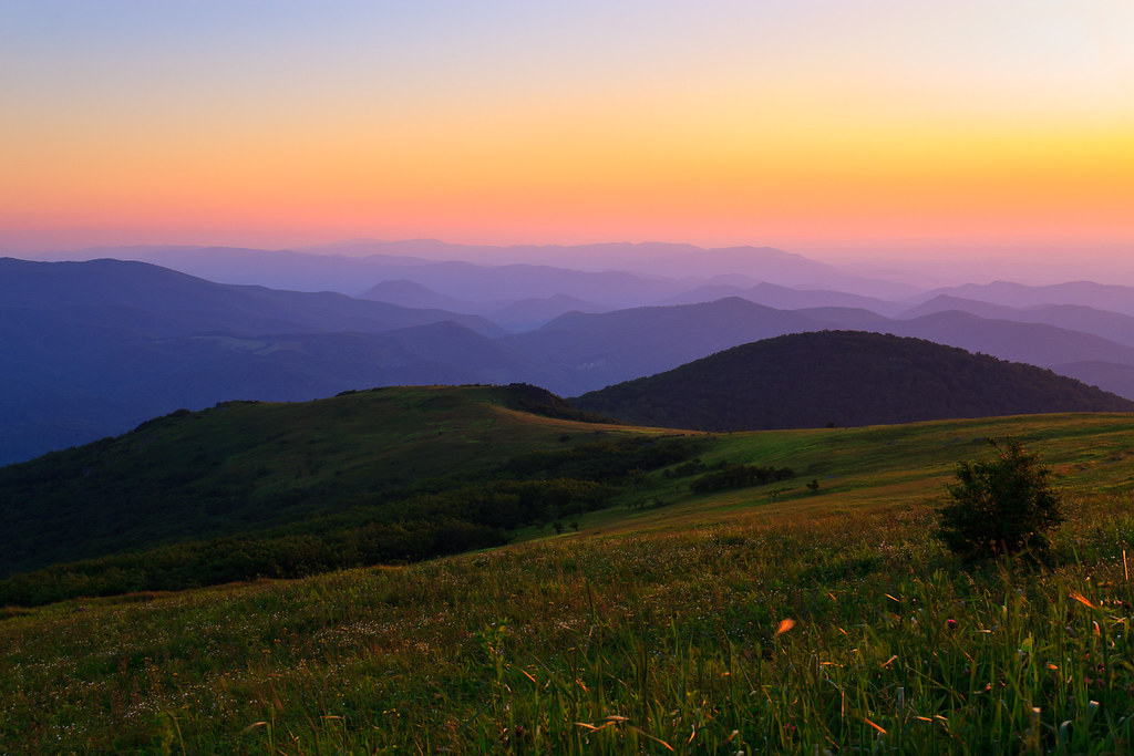
Sunset on White Top

Whitetop Mountain, Appalachian NST, VA

Mountain View @ Grayson Highlands State Park - Mouth of Wilson, VA

VA601 to Buzzard Rock, Appalachian NST, VA (13)

A little color...Sugarlands Overlook, Grayson Highlands State Park [Explored]

HFF! Fence from Old First Peak Trail

Grayson Highlands

Pony at Grayson Highlands State Park, Virginia

Clearing Fog on Whitetop Mountain

Mount Rogers Summit
Mt Rogers Backpack - On the AT - Golden Hour at Thomas Knob - July 5, 2014

Buzzard Rock, Appalachian NST, VA (2)

Christmas Tree Farms...
Topographic Map of Little Windfall Rd, Lansing, NC, USA
Find elevation by address:

Places near Little Windfall Rd, Lansing, NC, USA:
1492 State Rd 1361
Rip Shin Road
Rip Shin Road
Ridgley Road
Ridgley Road
3750 Rip Shin Rd
1058 Dolinger Rd
1058 Dolinger Rd
634 Bluff Ln
178 Holiday Ln
2248 Whitetop Gap Rd
1141 Old Park Rd
16627 Highlands Pkwy
16727 Highlands Pkwy
2248 Whitetop Gap Rd
1698 Old Park Rd
Whitetop
655 Pond Mountain Ln
Whitetop Mountain
Wilburn Road
Recent Searches:
- Elevation of Groblershoop, South Africa
- Elevation of Power Generation Enterprises | Industrial Diesel Generators, Oak Ave, Canyon Country, CA, USA
- Elevation of Chesaw Rd, Oroville, WA, USA
- Elevation of N, Mt Pleasant, UT, USA
- Elevation of 6 Rue Jules Ferry, Beausoleil, France
- Elevation of Sattva Horizon, 4JC6+G9P, Vinayak Nagar, Kattigenahalli, Bengaluru, Karnataka, India
- Elevation of Great Brook Sports, Gold Star Hwy, Groton, CT, USA
- Elevation of 10 Mountain Laurels Dr, Nashua, NH, USA
- Elevation of 16 Gilboa Ln, Nashua, NH, USA
- Elevation of Laurel Rd, Townsend, TN, USA