Elevation of Rd 9 5 NE, Mansfield, WA, USA
Location: United States > Washington > Douglas County > Mansfield >
Longitude: -119.69597
Latitude: 47.750094
Elevation: 724m / 2375feet
Barometric Pressure: 93KPa
Elevation Map:
Satellite Map:
Related Photos:
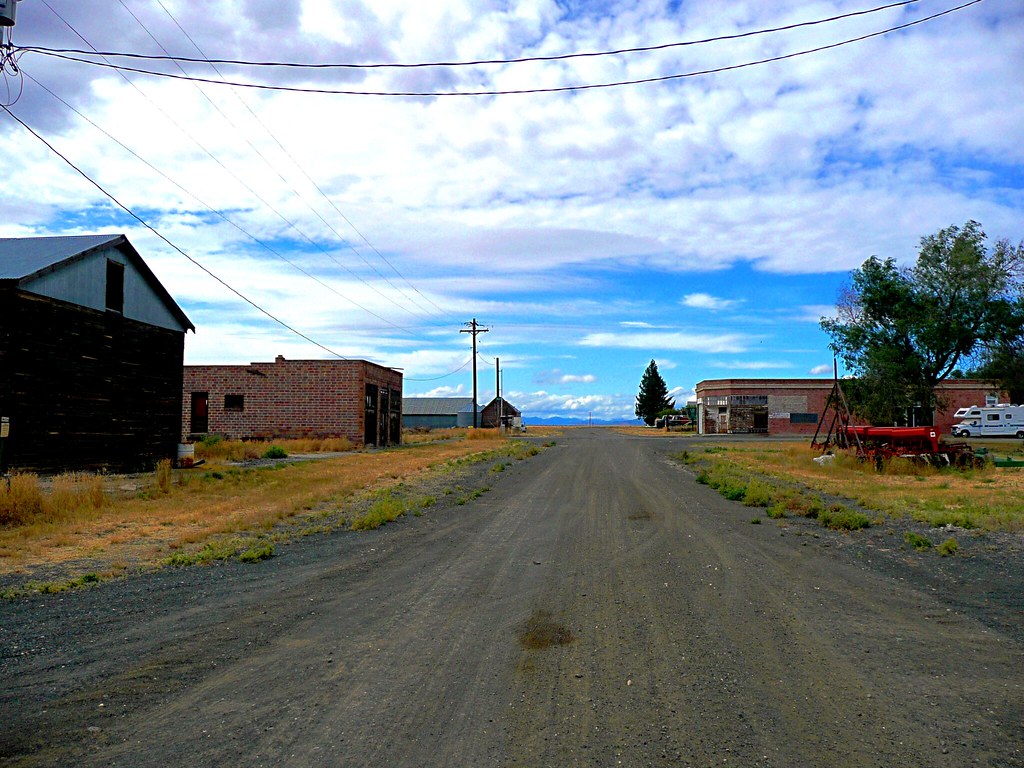
Bustling Withrow
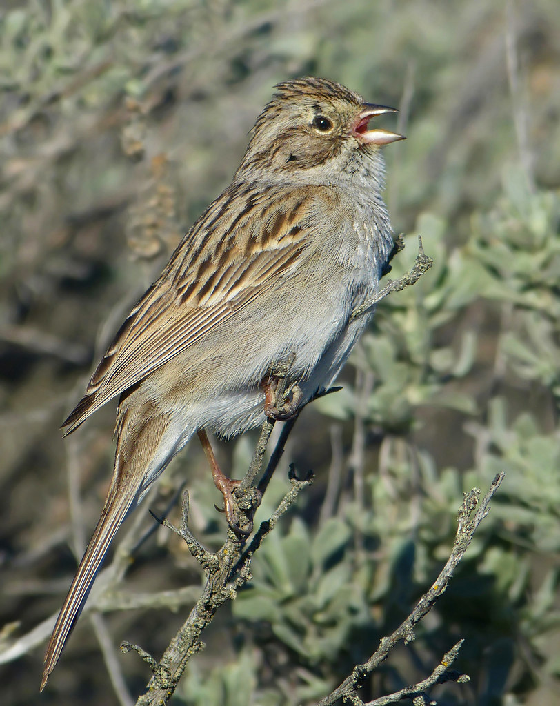
Brewer's Sparrow

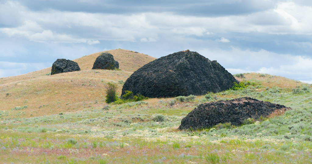
Yeager Rock, WA

Yeager Rock and Road, WA
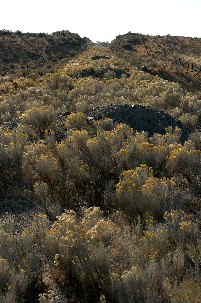
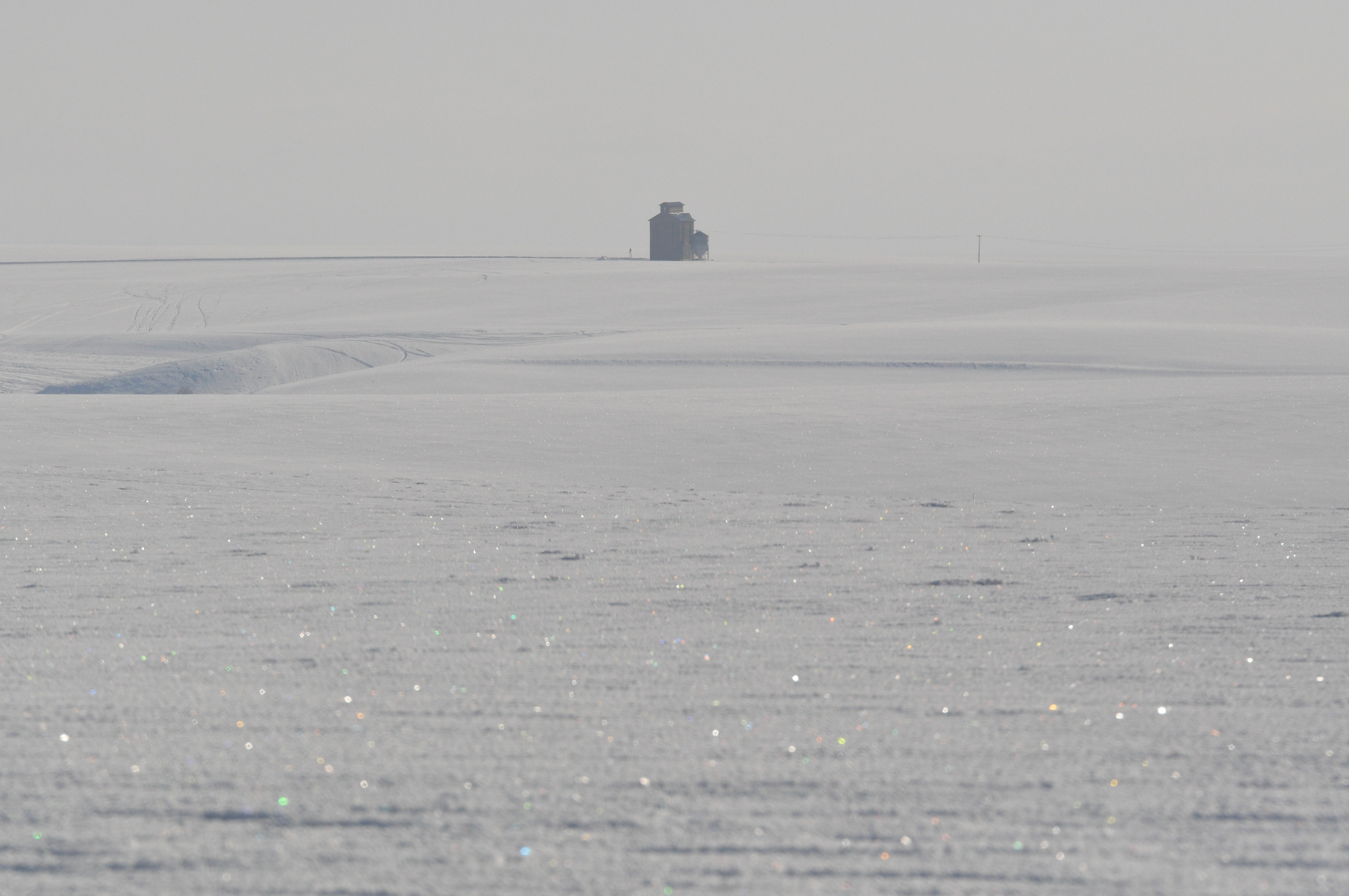
Dirt piles on the abandoned Mansfield Branch
Mansfield Branch: looking east across a stream gully
01192012 071 Another View from Withrow

01192012 069 View from Withrow
Withrow, Washington (and the Withrow Moraine in the background)
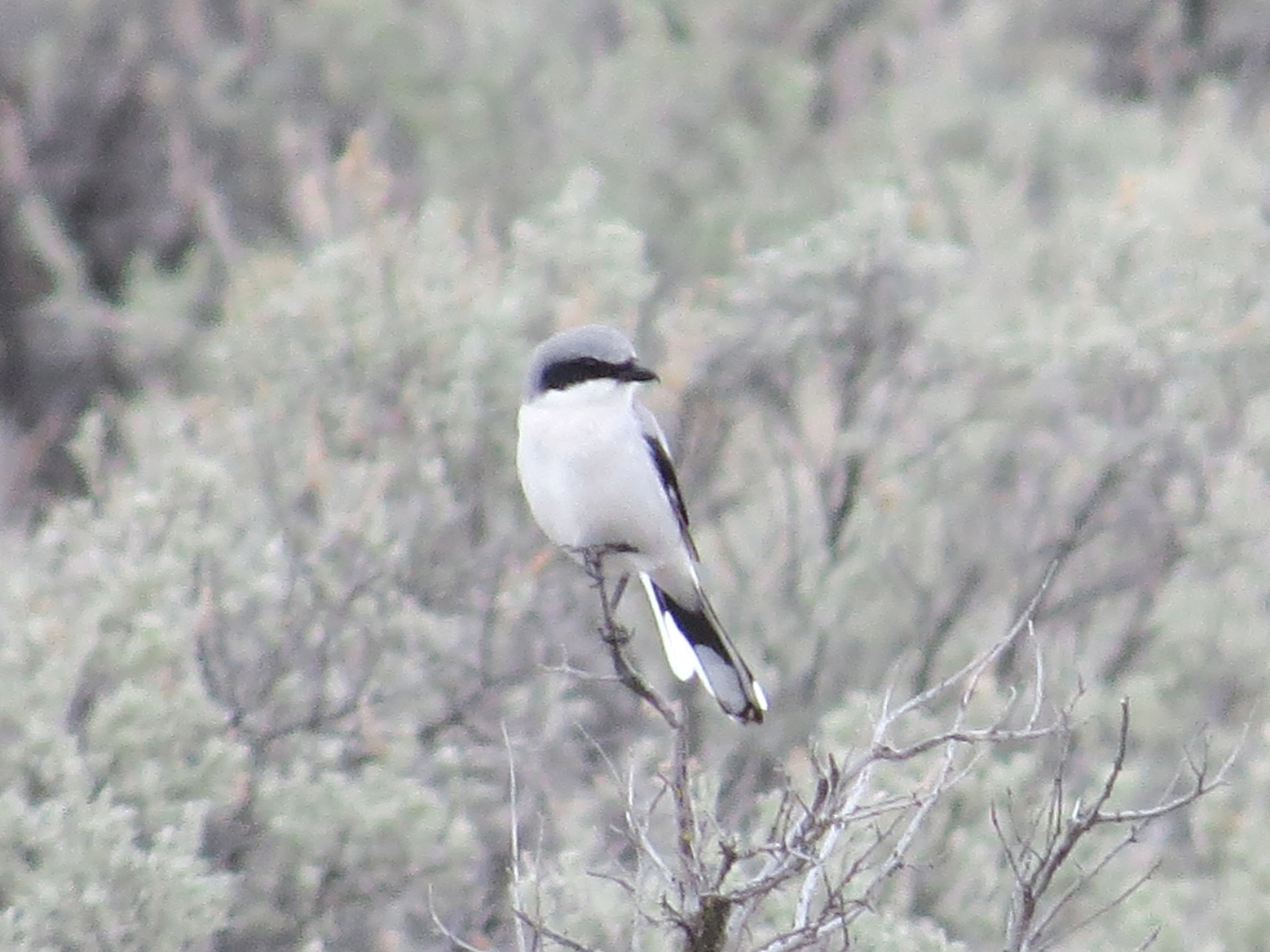
Loggerhead Shrike-Moses Coulee, WA-3-14-2013

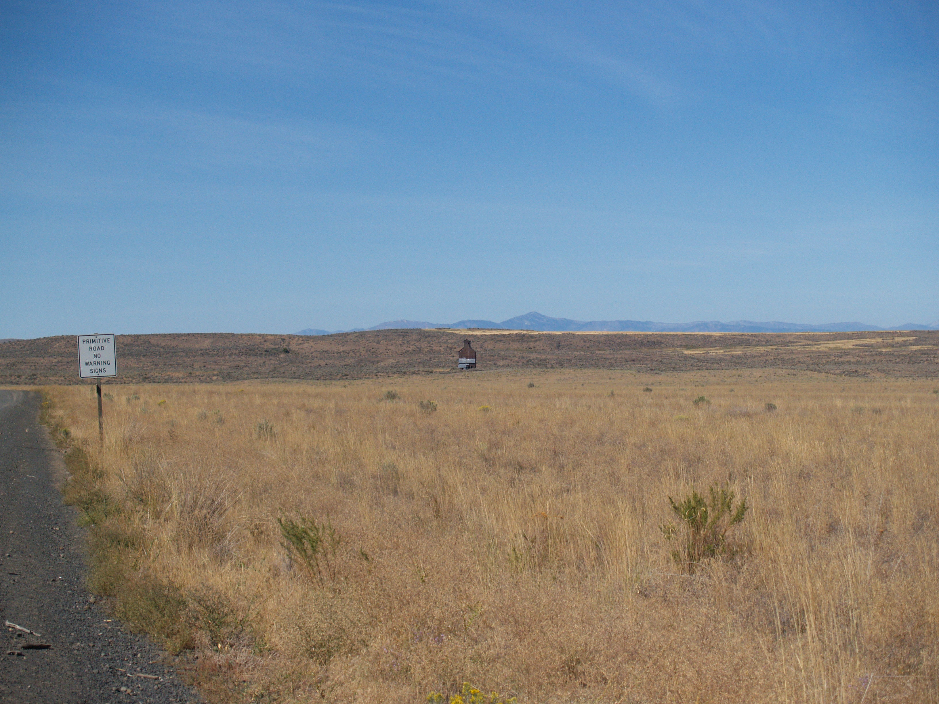
Lonely Road - N Division RD, Douglas County, WA (May 2013)

Rust and Wheat

06.08 - Yeager Rock, near Mansfield, WA
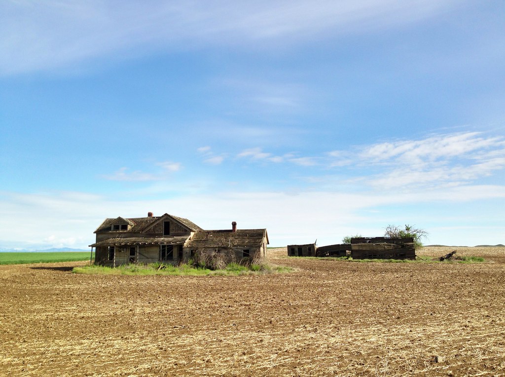
Abandoned Farm - Withrow, WA (May 2013)
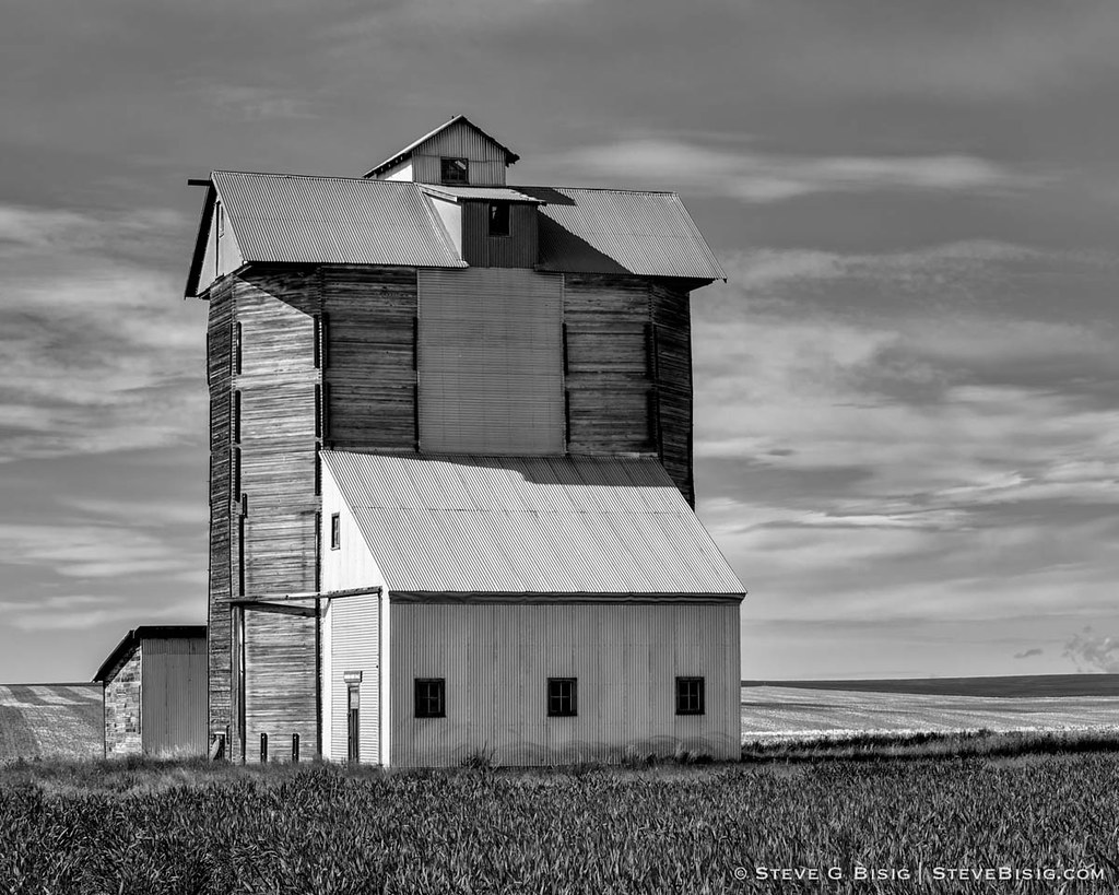
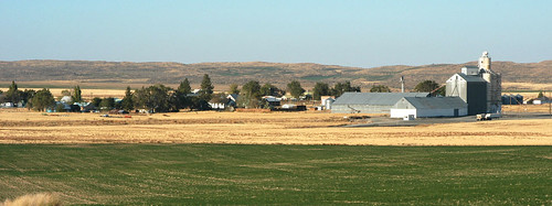
Grain Elevator, N Division Rd, Douglas County, Washington, May 2013

still truckin along
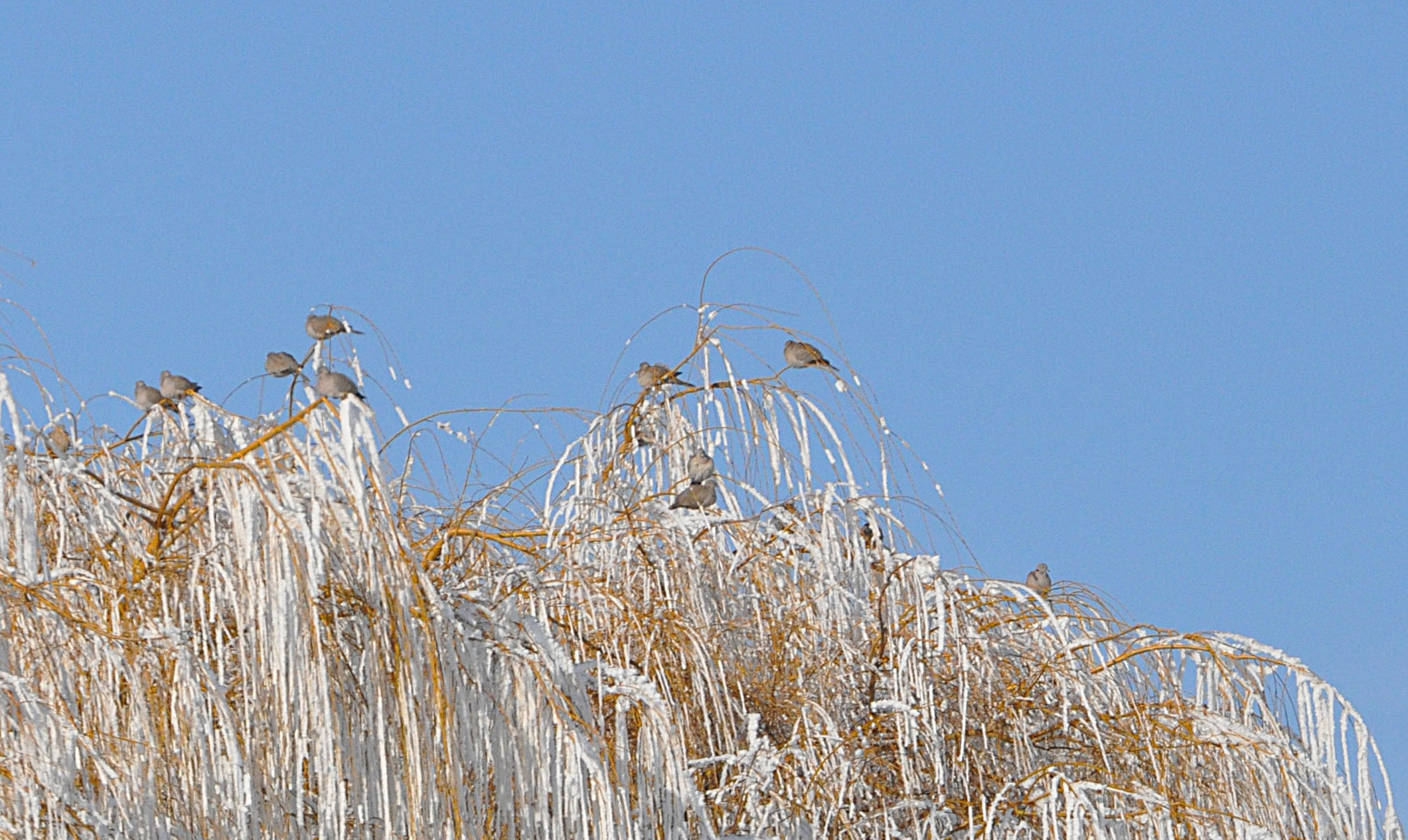
01192012 067a Eurasian Collared Doves

Jameson Lake
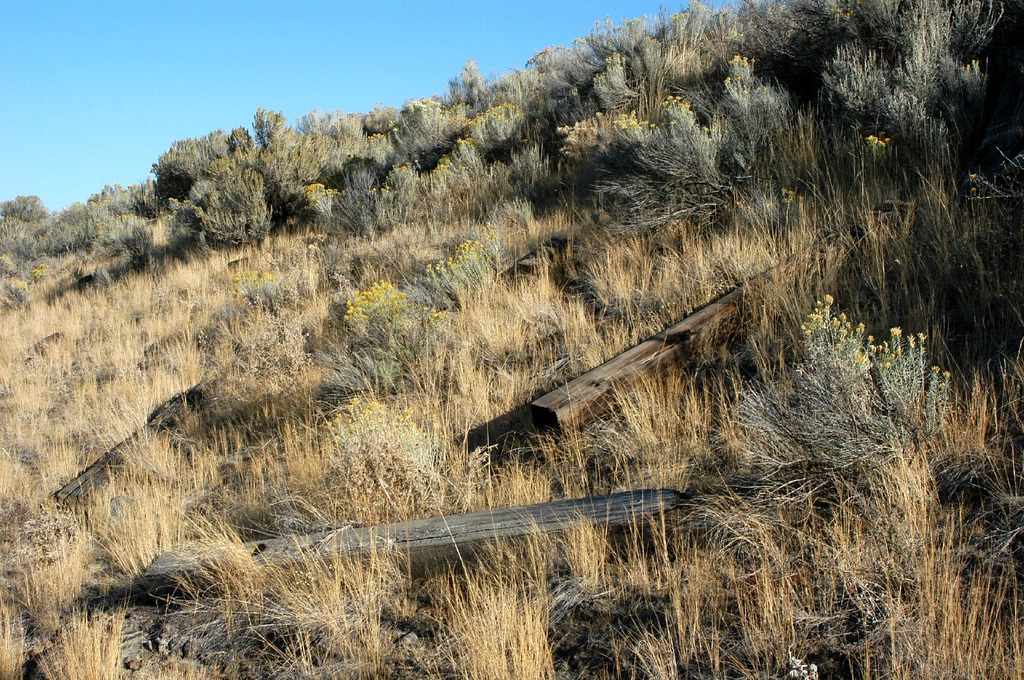
Mansfield Branch: discarded ties on the embankment
Columbia Plateau
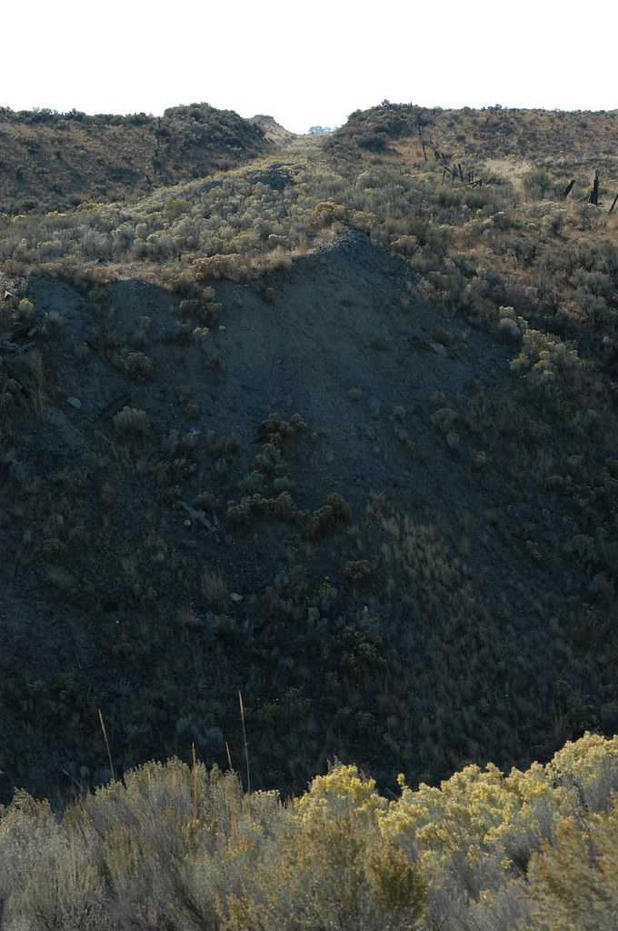
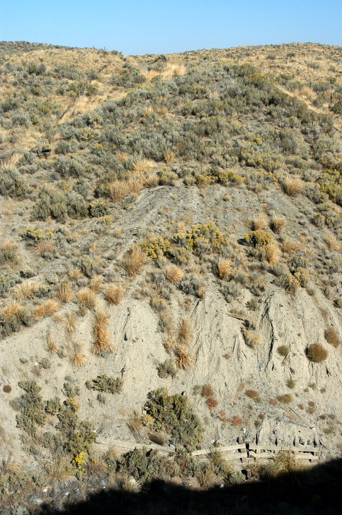
Mansfield Branch: looking west across the stream gully
Touhey, Washington

20150727 70D Yellowstone Glacier 144-2
Topographic Map of Rd 9 5 NE, Mansfield, WA, USA
Find elevation by address:

Places near Rd 9 5 NE, Mansfield, WA, USA:
Douglas County
Mansfield
254 1st Ave
Withrow
Beebe Bridge Park
2nd St, Chelan Falls, WA, USA
931 1st St
Chelan Falls
51 S Douglas Rd
51 North Douglas Creek Road
Alstown
51 S Douglas Creek Rd
51 S Douglas Creek Rd
211 E Birch St
104 E Locust St
Waterville
3 Badger Mountain Rd
Palisades
Ephrata, WA, USA
Palisades Rd, Palisades, WA, USA
Recent Searches:
- Elevation of Corso Fratelli Cairoli, 35, Macerata MC, Italy
- Elevation of Tallevast Rd, Sarasota, FL, USA
- Elevation of 4th St E, Sonoma, CA, USA
- Elevation of Black Hollow Rd, Pennsdale, PA, USA
- Elevation of Oakland Ave, Williamsport, PA, USA
- Elevation of Pedrógão Grande, Portugal
- Elevation of Klee Dr, Martinsburg, WV, USA
- Elevation of Via Roma, Pieranica CR, Italy
- Elevation of Tavkvetili Mountain, Georgia
- Elevation of Hartfords Bluff Cir, Mt Pleasant, SC, USA