Elevation map of Douglas County, WA, USA
Location: United States > Washington >
Longitude: -119.74746
Latitude: 47.7790617
Elevation: 760m / 2493feet
Barometric Pressure: 93KPa
Elevation Map:
Satellite Map:
Related Photos:

Yeager Rock, WA

Yeager Rock and Road, WA

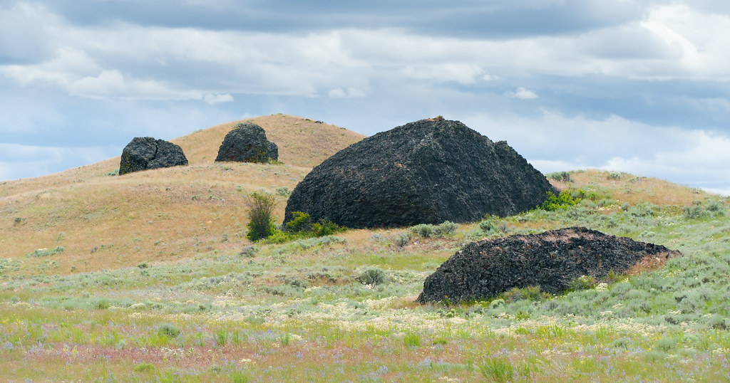
Glacial erratics, Douglas County, WA

Glacial erratics, Douglas County, WA
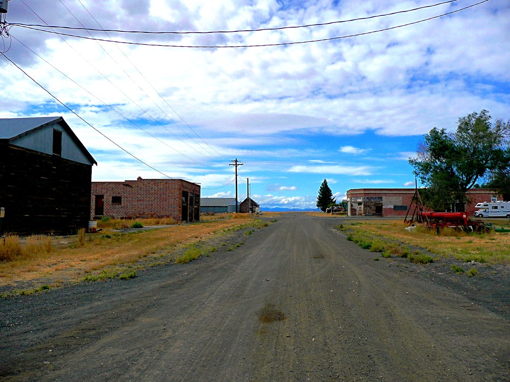
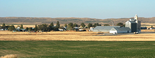
Bustling Withrow
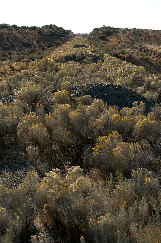
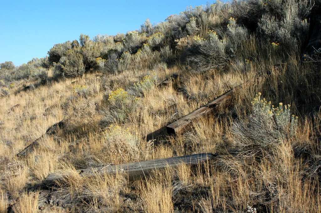
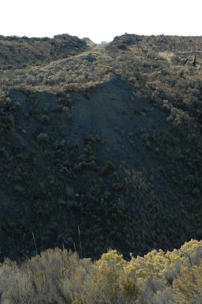
Dirt piles on the abandoned Mansfield Branch
Mansfield Branch: looking east across a stream gully
01192012 071 Another View from Withrow

01192012 069 View from Withrow
Withrow, Washington (and the Withrow Moraine in the background)
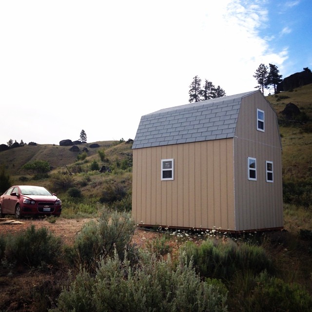
Our little cabin! People always say, "But the windows are tiny!" To which we respond, "If you want a view, walk out the door, silly!"

06.08 - Yeager Rock, near Mansfield, WA

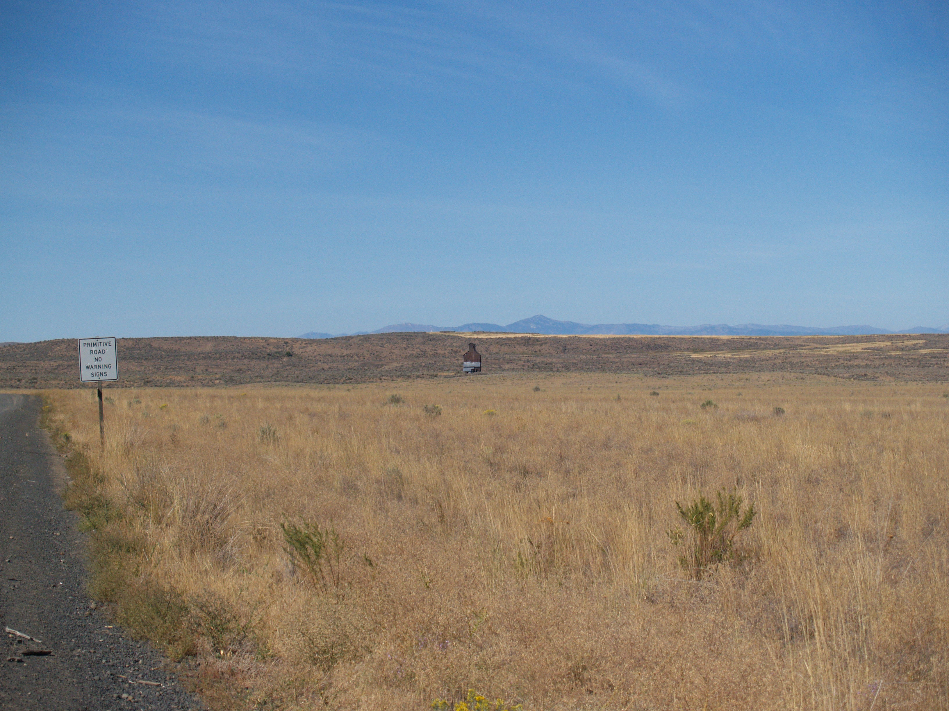
Lonely Road - N Division RD, Douglas County, WA (May 2013)

Rust and Wheat
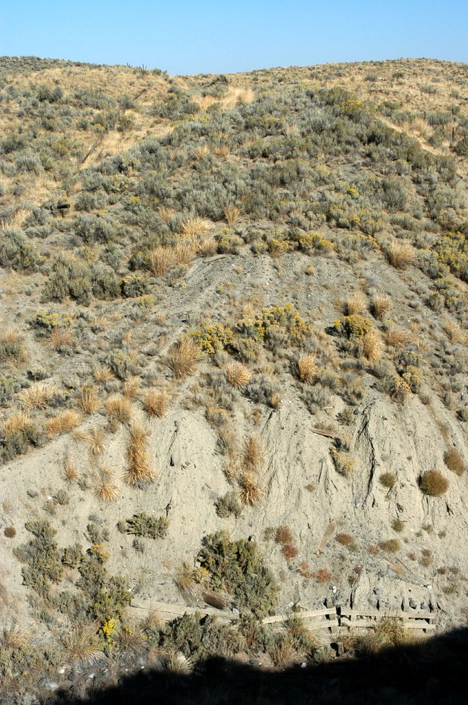
Exploring the bluffs. Scared away a handful of deer, scouting for good lookouts while traipsing through the sage and grasses.

Line of glacier erratics in Douglas County, WA
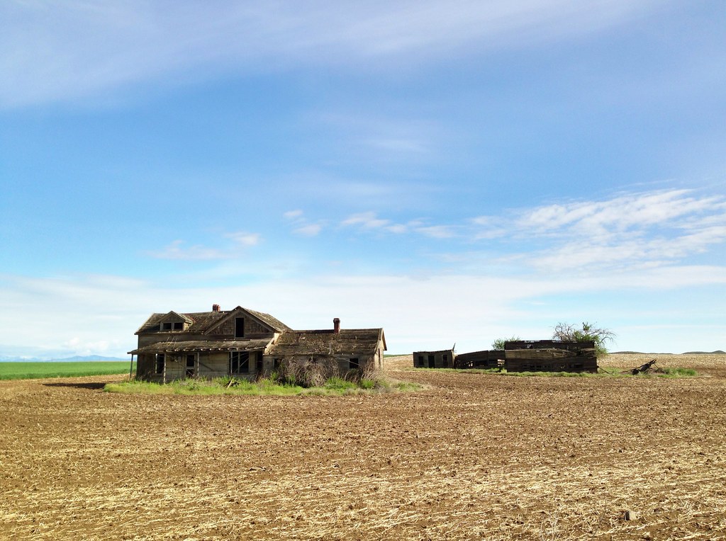
Abandoned Farm - Withrow, WA (May 2013)
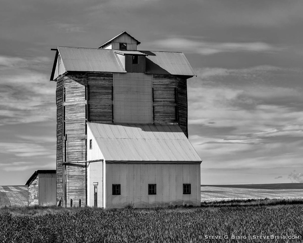
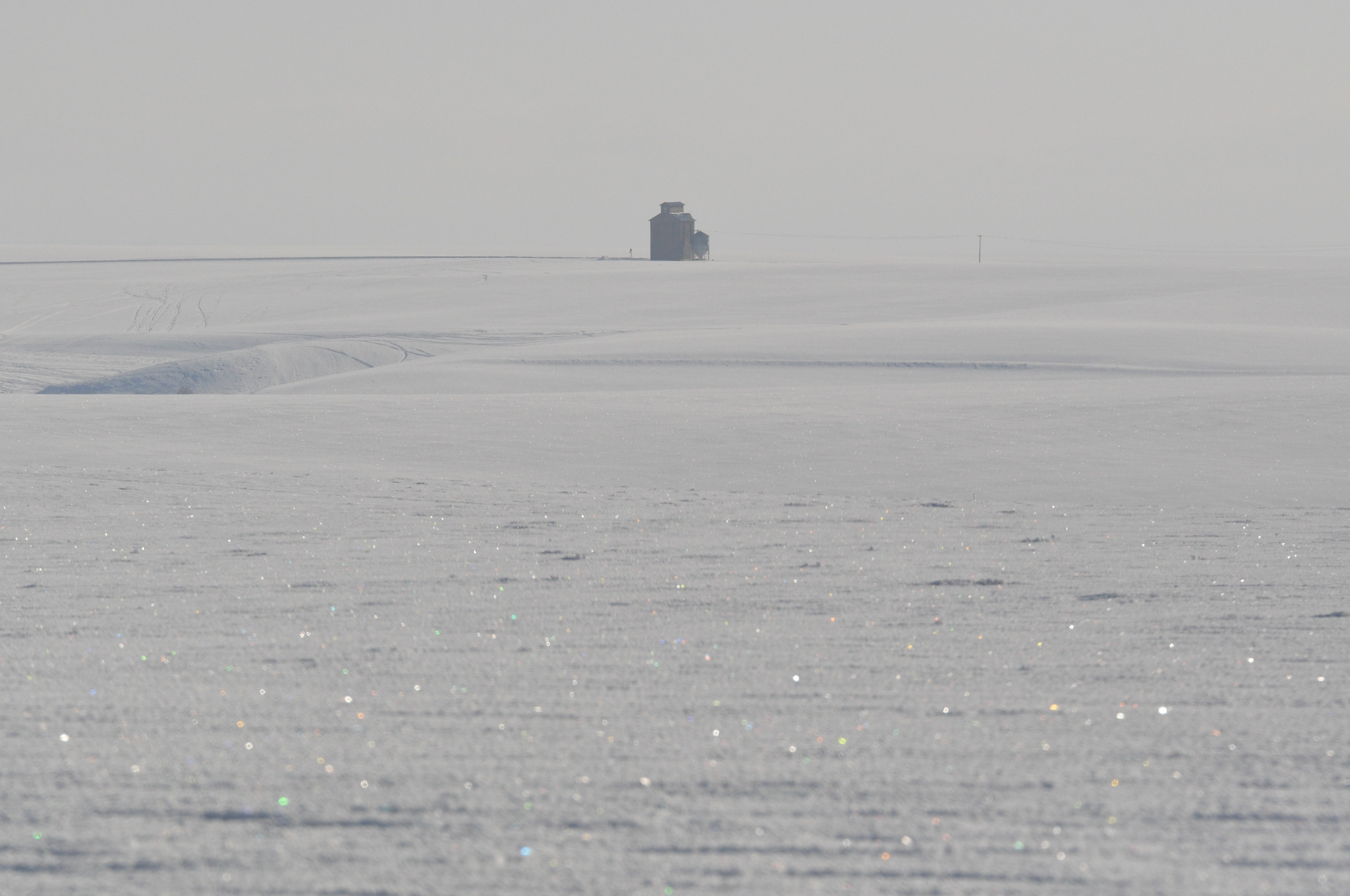
Grain Elevator, N Division Rd, Douglas County, Washington, May 2013

still truckin along
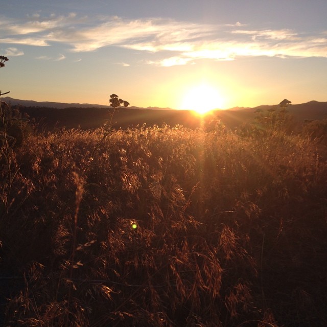
Almost there! #solstice #nofilter

01192012 067a Eurasian Collared Doves

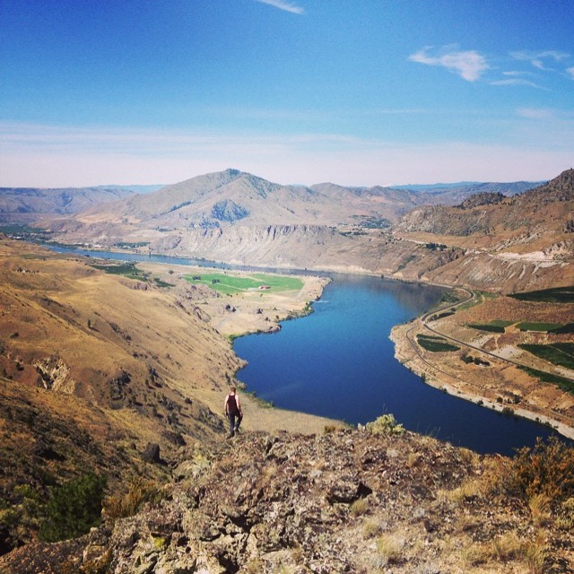
Jameson Lake
Mansfield Branch: discarded ties on the embankment
Columbia Plateau
Mansfield Branch: looking west across the stream gully
Touhey, Washington
Topographic Map of Douglas County, WA, USA
Find elevation by address:

Places in Douglas County, WA, USA:
East Wenatchee
Waterville
Mansfield
Palisades
Bridgeport
7th St NE, East Wenatchee, WA, USA
Highland Orchard Rd NE, Bridgeport, WA, USA
Withrow
Mcneil Canyon Road & Corral Creek Drive
Orondo
East Wenatchee, WA, USA
Places near Douglas County, WA, USA:
Rd 9 5 NE, Mansfield, WA, USA
254 1st Ave
Withrow
Mansfield
Beebe Bridge Park
2nd St, Chelan Falls, WA, USA
Chelan Falls
931 1st St
51 S Douglas Rd
51 North Douglas Creek Road
51 S Douglas Creek Rd
51 S Douglas Creek Rd
Alstown
211 E Birch St
104 E Locust St
Waterville
3 Badger Mountain Rd
Palisades
South Road Northwest
745 W Emerson Dr
Recent Searches:
- Elevation of Corso Fratelli Cairoli, 35, Macerata MC, Italy
- Elevation of Tallevast Rd, Sarasota, FL, USA
- Elevation of 4th St E, Sonoma, CA, USA
- Elevation of Black Hollow Rd, Pennsdale, PA, USA
- Elevation of Oakland Ave, Williamsport, PA, USA
- Elevation of Pedrógão Grande, Portugal
- Elevation of Klee Dr, Martinsburg, WV, USA
- Elevation of Via Roma, Pieranica CR, Italy
- Elevation of Tavkvetili Mountain, Georgia
- Elevation of Hartfords Bluff Cir, Mt Pleasant, SC, USA