Elevation of 51 North Douglas Creek Road, Waterville, WA, USA
Location: United States > Washington > Douglas County > Waterville >
Longitude: -120.00636
Latitude: 47.6193474
Elevation: 724m / 2375feet
Barometric Pressure: 93KPa
Elevation Map:
Satellite Map:
Related Photos:

Alstown, WA

Alstown, WA

Alstown, WA

Alstown, WA

Alstown, WA

Looking south at Supplee, Washington

Looking north at Supplee, Washington

Alstown, WA

Lightning on the farm
The Forgotten

New Realization
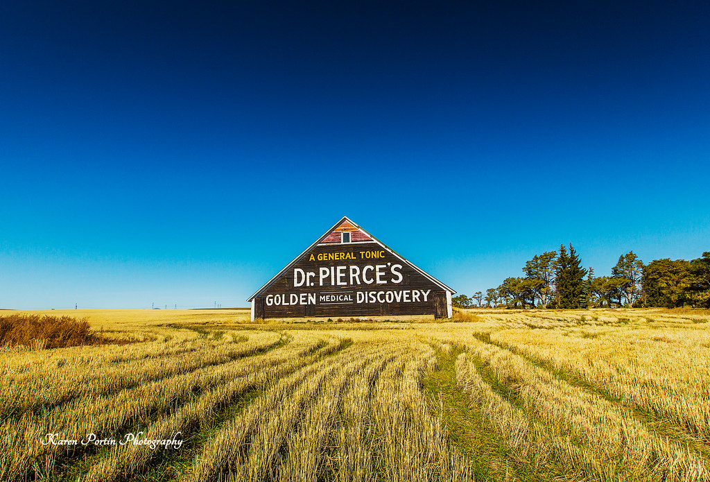
Dr. Pierce's Golden Medical Discovery
Abandoned Farm on a Hill - Douglas County, WA (May 2013)

20150727 70D Yellowstone Glacier 153

Day 184/365 - Old Schoolhouse
Columbia River
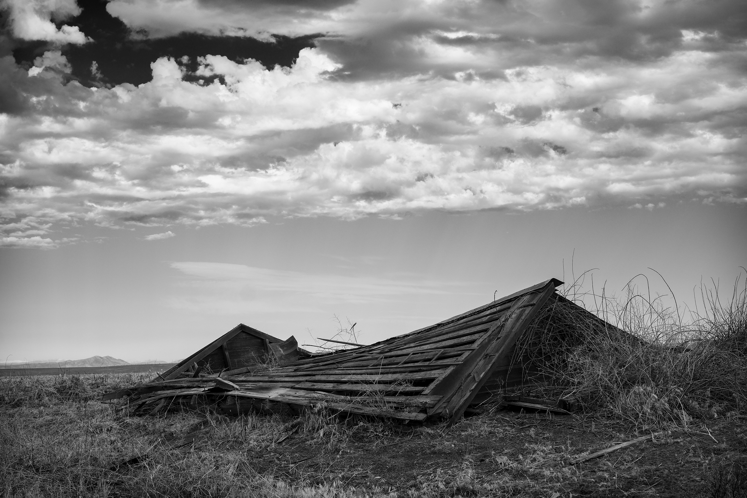
Collapsed roof

For Your Kidneys, Dr. Pierce's Anuric
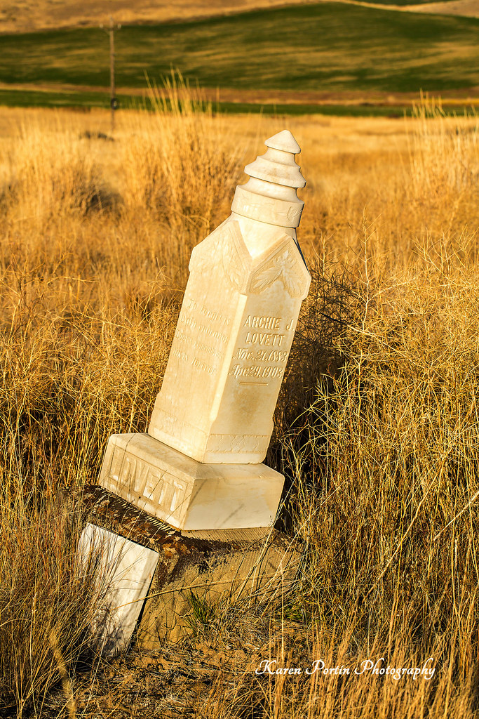
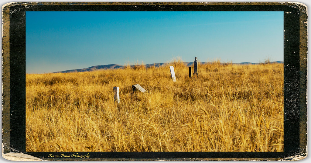
Archie J Lovett, died 4-23-1903
US Highway 2 - Douglas County, WA (May 2013)

Ruined buildings

Alstown, WA
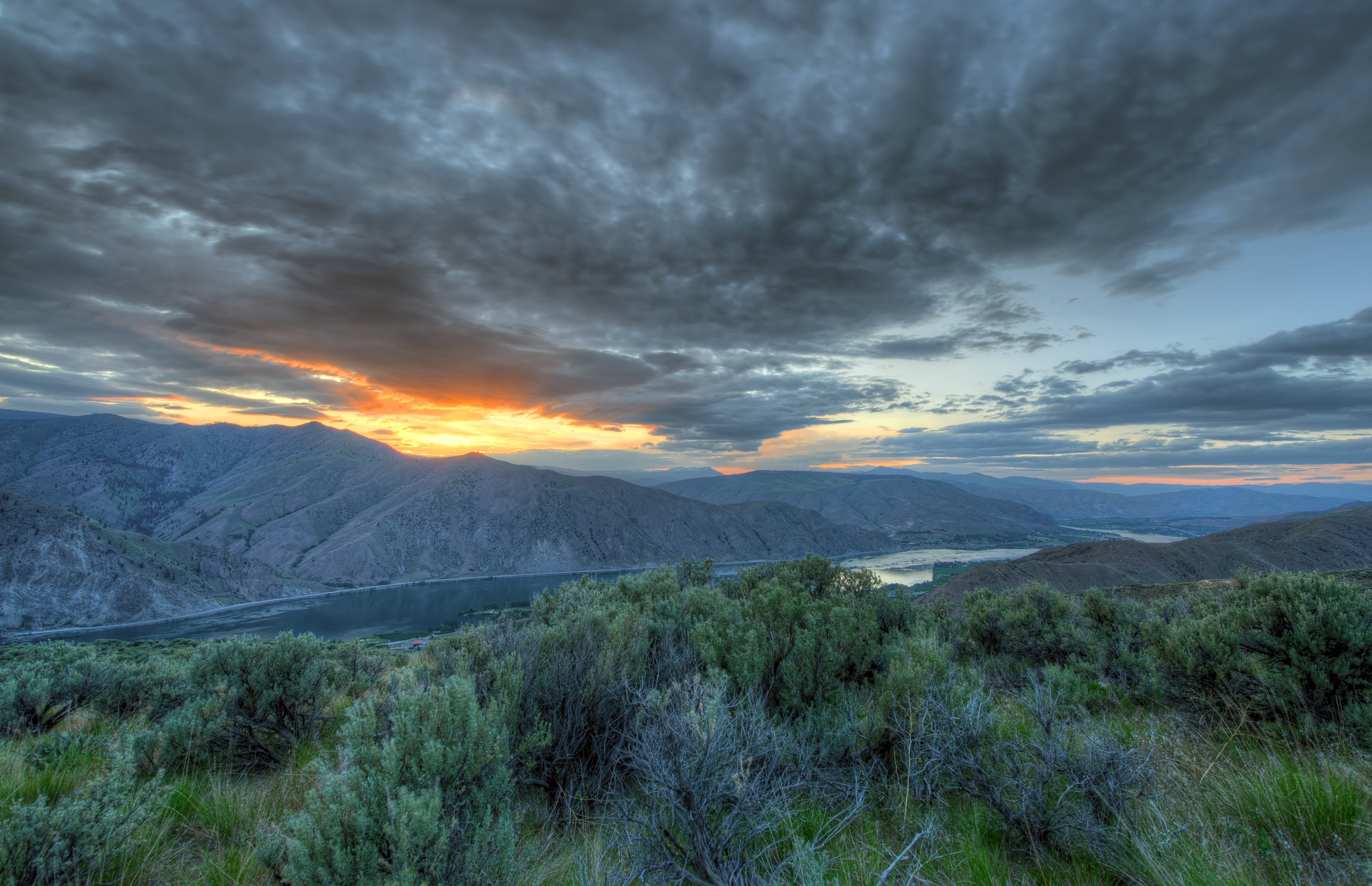
Entiat Sunset

Alstown, WA

Lake Entiat Dusk

Badger Mountain and Lake Entiat

Arabis cusickii

Rainbow Over Badger Mountain

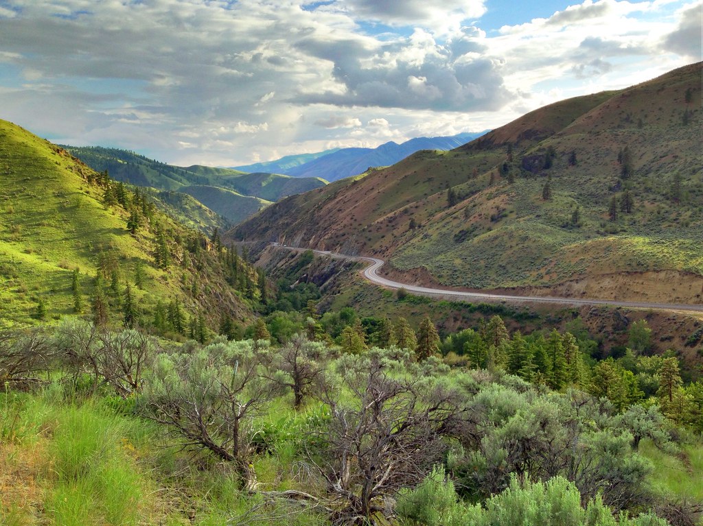
Douglas Creek Canyon
Topographic Map of 51 North Douglas Creek Road, Waterville, WA, USA
Find elevation by address:

Places near 51 North Douglas Creek Road, Waterville, WA, USA:
51 S Douglas Rd
51 S Douglas Creek Rd
51 S Douglas Creek Rd
Alstown
3 Badger Mountain Rd
211 E Birch St
104 E Locust St
Waterville
200 Blue Jay Rd
203 Wild Turkey Rd
South Road Northwest
100 Sagebrush Rd
931 1st St
Badger Mountain
Chelan Falls
2nd St, Chelan Falls, WA, USA
Beebe Bridge Park
Entiat
745 W Emerson Dr
Withrow
Recent Searches:
- Elevation of Congressional Dr, Stevensville, MD, USA
- Elevation of Bellview Rd, McLean, VA, USA
- Elevation of Stage Island Rd, Chatham, MA, USA
- Elevation of Shibuya Scramble Crossing, 21 Udagawacho, Shibuya City, Tokyo -, Japan
- Elevation of Jadagoniai, Kaunas District Municipality, Lithuania
- Elevation of Pagonija rock, Kranto 7-oji g. 8"N, Kaunas, Lithuania
- Elevation of Co Rd 87, Jamestown, CO, USA
- Elevation of Tenjo, Cundinamarca, Colombia
- Elevation of Côte-des-Neiges, Montreal, QC H4A 3J6, Canada
- Elevation of Bobcat Dr, Helena, MT, USA