Elevation of E Locust St, Waterville, WA, USA
Location: United States > Washington > Douglas County > Waterville >
Longitude: -120.07049
Latitude: 47.6472024
Elevation: 800m / 2625feet
Barometric Pressure: 92KPa
Elevation Map:
Satellite Map:
Related Photos:

Looking south at Supplee, Washington
US 97A - Knapps C
Best viewed live!
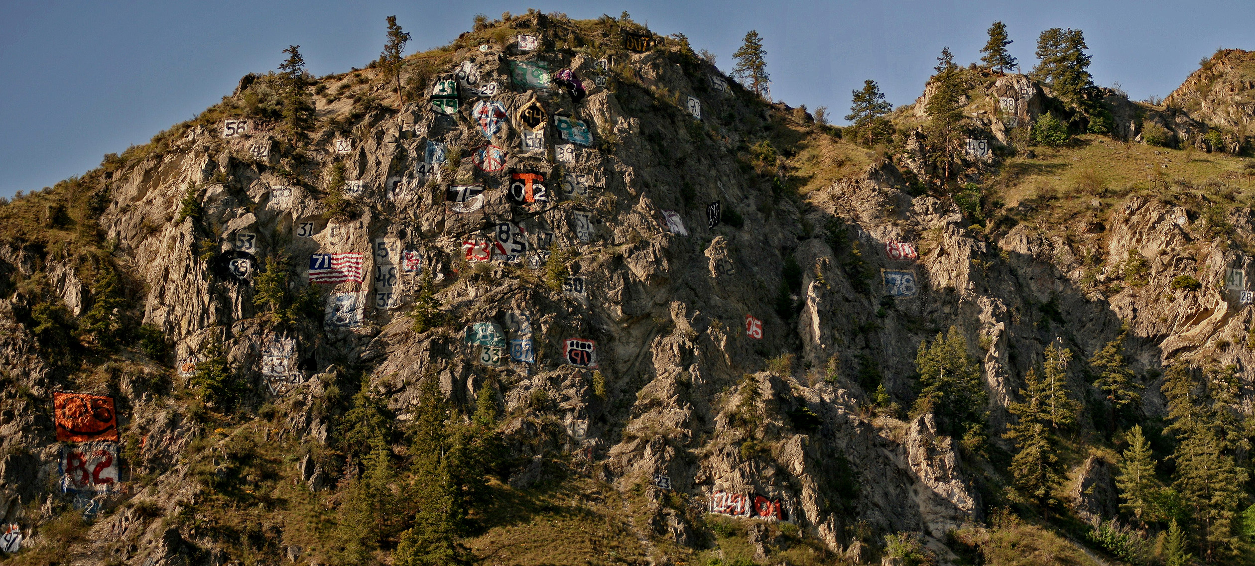
Numeral Mountain

Looking north at Supplee, Washington
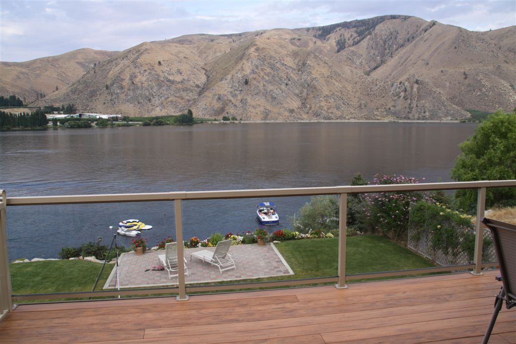
View from Veranda

Time Is Long
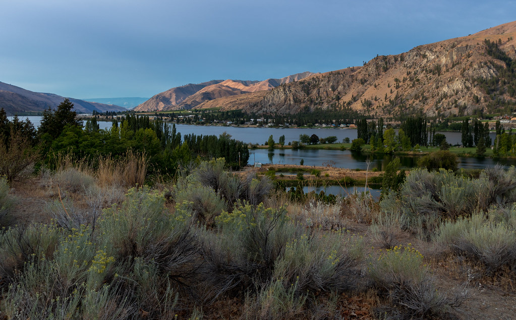
Morning calm behind Rocky Reach
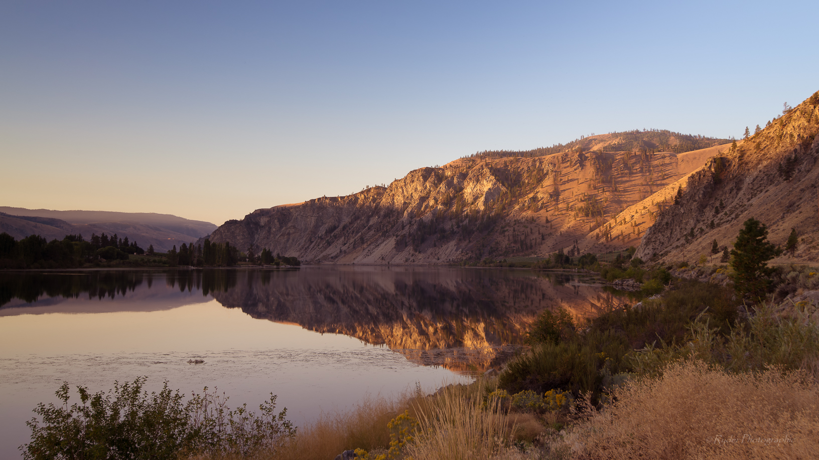
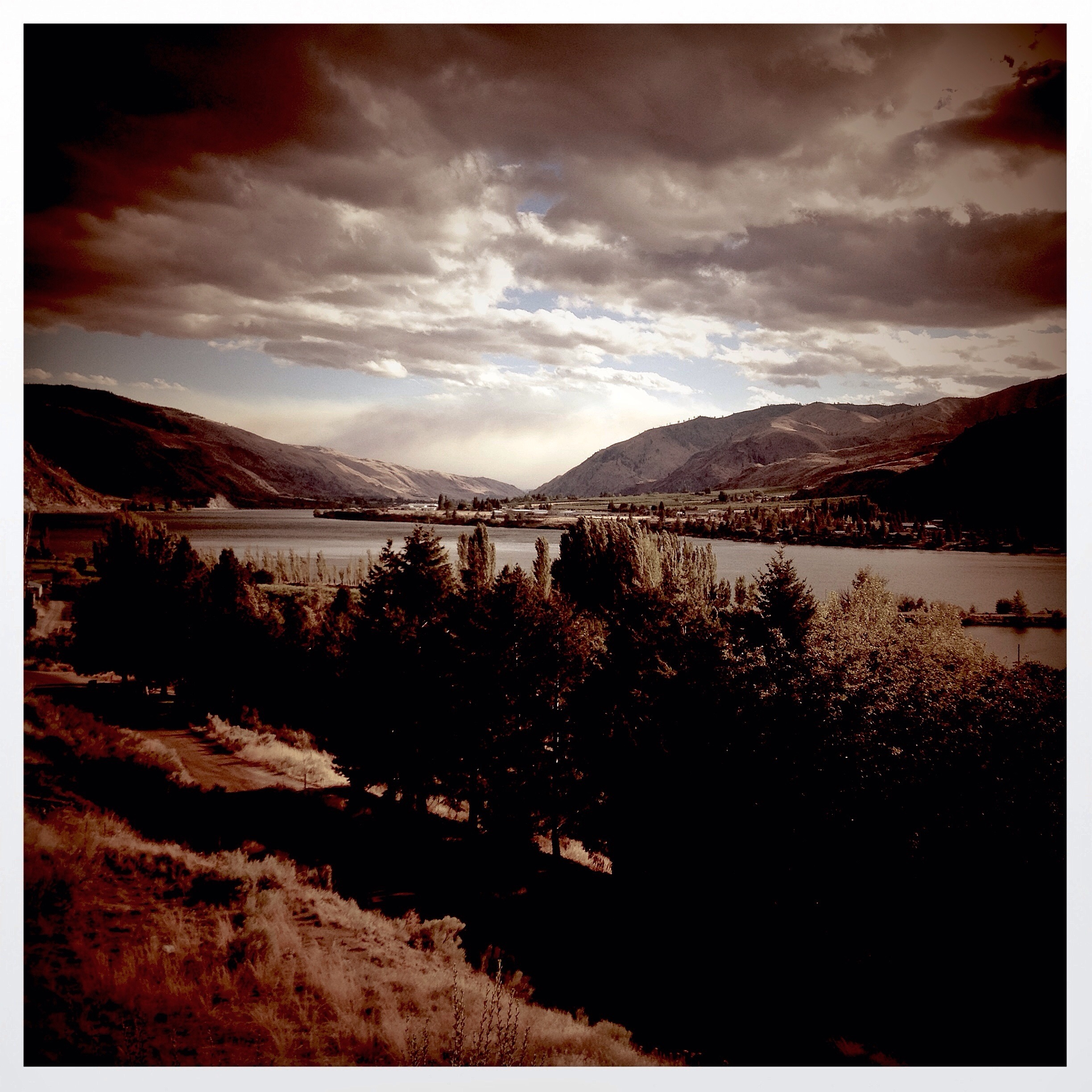
Columbia River - WA
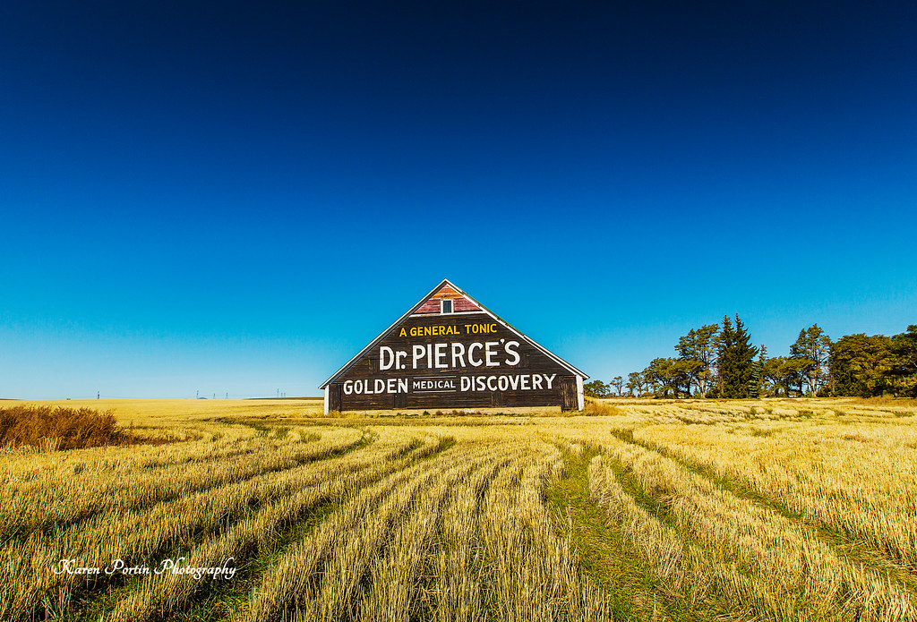
Dr. Pierce's Golden Medical Discovery
Dusty Destinations

Sunrise at Darago state park
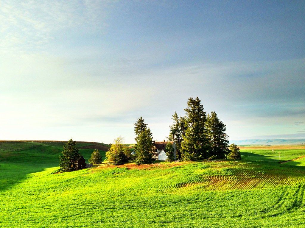
Abandoned Farm on a Hill - Douglas County, WA (May 2013)

Sunrise at Darago state park

Sunrise at Darago state park

Sunrise at Darago state park
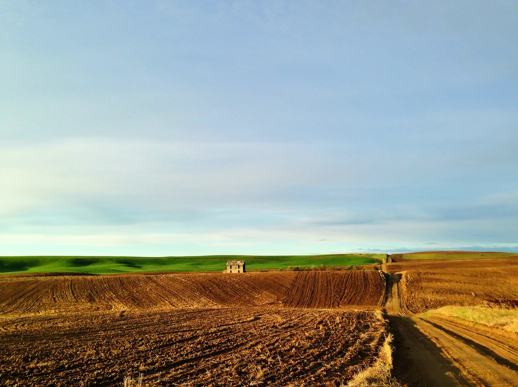
Abandoned Farmhouse - Road O NW, Douglas County, WA (May 2013)
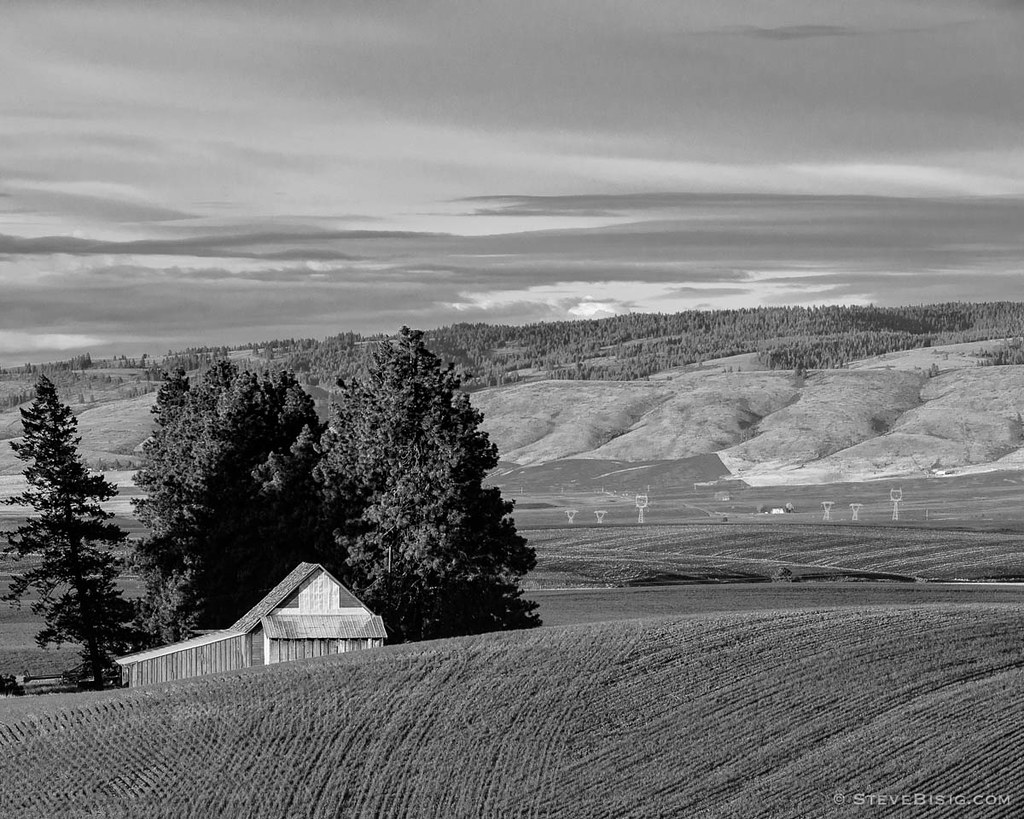
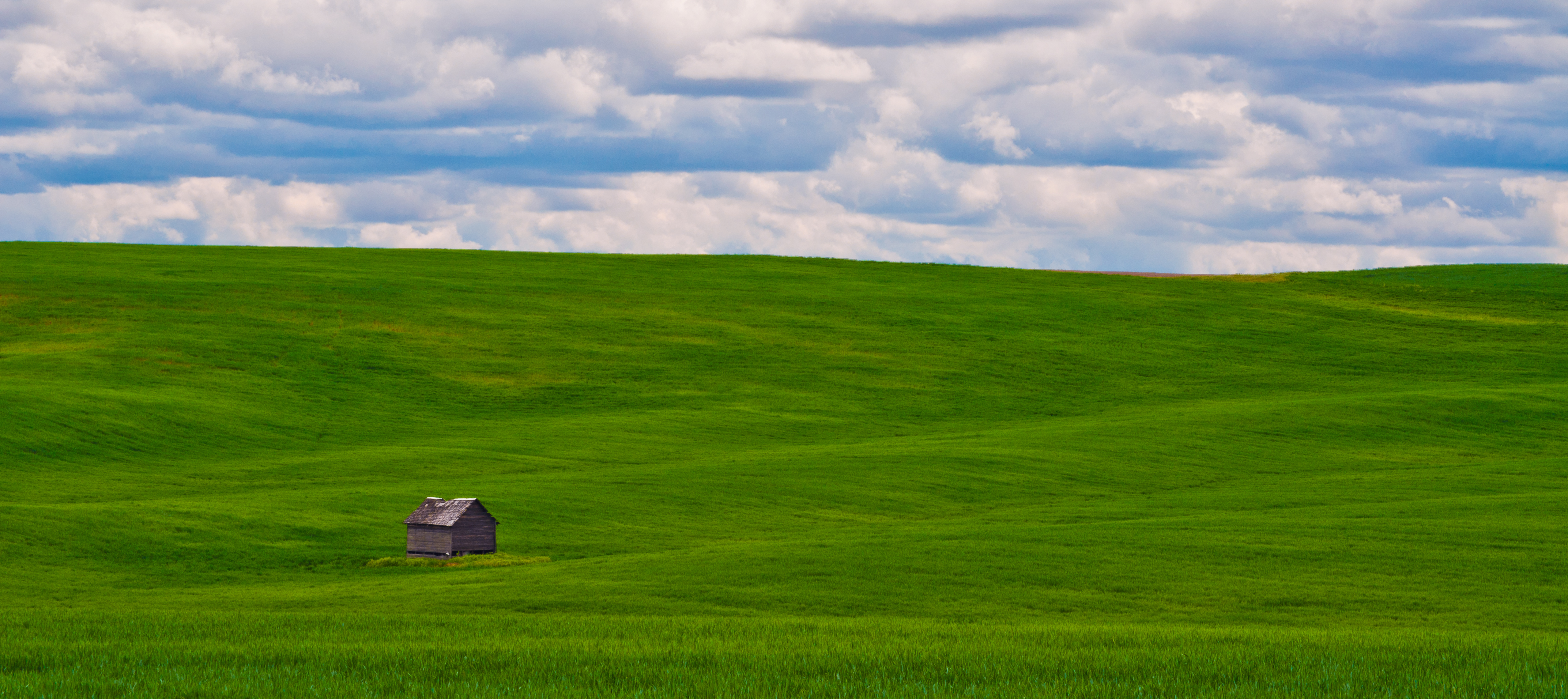
Barn Over the Hill, Douglas County, Washington, 2013
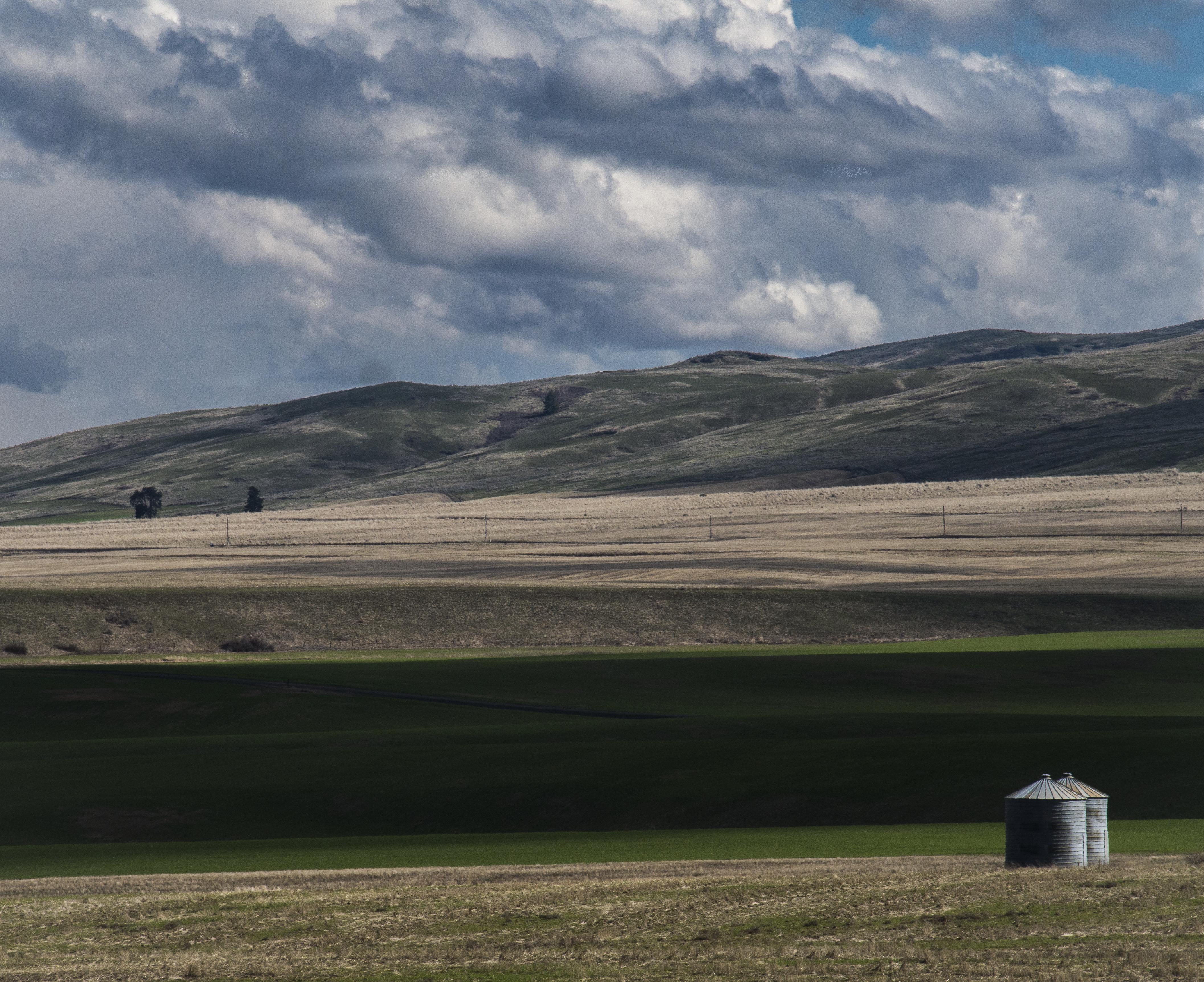
Waterville, WA bins

Sunrise at Darago state park

In For A Ride

20150727 70D Yellowstone Glacier 153
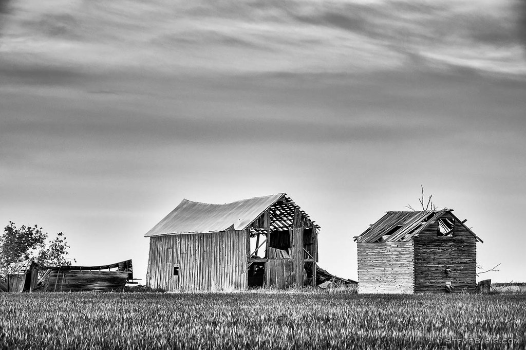
Abandoned Barns, K Rd, Douglas County, Washington, 2013
The Vastness
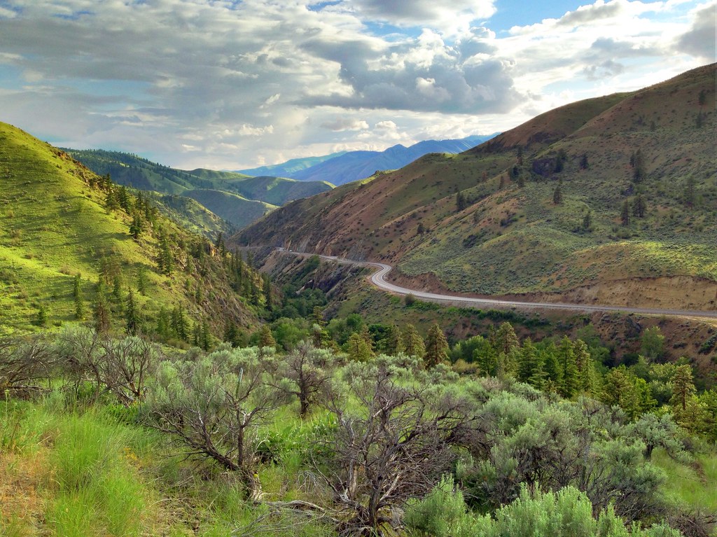
US Highway 2 - Douglas County, WA (May 2013)
Fire in the hills
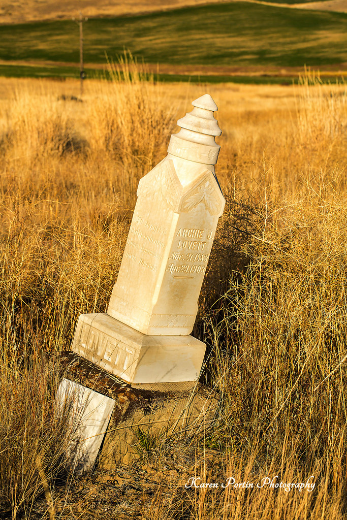
Archie J Lovett, died 4-23-1903
Topographic Map of E Locust St, Waterville, WA, USA
Find elevation by address:

Places near E Locust St, Waterville, WA, USA:
Waterville
211 E Birch St
3 Badger Mountain Rd
51 S Douglas Creek Rd
51 S Douglas Creek Rd
51 North Douglas Creek Road
51 S Douglas Rd
South Road Northwest
200 Blue Jay Rd
Alstown
203 Wild Turkey Rd
Badger Mountain
100 Sagebrush Rd
Entiat
745 W Emerson Dr
Orondo
1700 Co Hwy 19
931 1st St
Chelan Falls
2nd St, Chelan Falls, WA, USA
Recent Searches:
- Elevation of Congressional Dr, Stevensville, MD, USA
- Elevation of Bellview Rd, McLean, VA, USA
- Elevation of Stage Island Rd, Chatham, MA, USA
- Elevation of Shibuya Scramble Crossing, 21 Udagawacho, Shibuya City, Tokyo -, Japan
- Elevation of Jadagoniai, Kaunas District Municipality, Lithuania
- Elevation of Pagonija rock, Kranto 7-oji g. 8"N, Kaunas, Lithuania
- Elevation of Co Rd 87, Jamestown, CO, USA
- Elevation of Tenjo, Cundinamarca, Colombia
- Elevation of Côte-des-Neiges, Montreal, QC H4A 3J6, Canada
- Elevation of Bobcat Dr, Helena, MT, USA