Elevation of Ephrata, WA, USA

Location: United States > Washington > Grant County > Ephrata >

Longitude: -119.61090

Latitude: 47.3446909

Elevation: 589m / 1932feet

Barometric Pressure: 94KPa

Elevation Map:

elevation map of Ephrata, WA, USA

Satellite Map:

Satellite map of Ephrata, WA, USA

Related Photos:

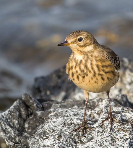
buffbelliedpipit americanpipit pipit anthusrubescensrubescens anthusrubescens anthus motacillidae nigelje soaplake
American pipit (Anthus rubescens rubescens)
Yielding Control
Marinating Upon the Great Northwest Country: East of the Cascades (Part 32): Grand and Commanding
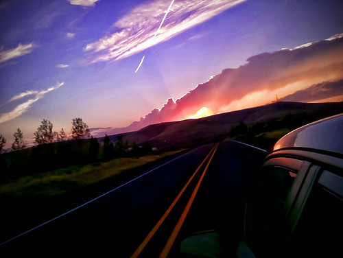
auto road travel sunset sky cloud sunlight window car weather skyline clouds digital america landscape outside outdoors evening washington highway view cloudy outdoor earth hill july roadtrip location hills roads hogan bluelake 2010 windowseat mikehogan icanseemyhousefromhere
Road Trip
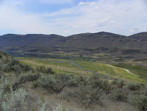
soaplake washington unitedstates us
Eagle View
longbilleddowitcher dowitcher limnodromusscolopaceus limnodromus scolopacidae sandpiper shorebird wader wadingbirds nigelje soaplake
Long-billed Dowitcher (Limnodromus scolopaceus)
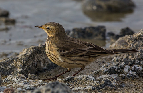
americanpipit pipit buffbelliedpipit anthusrubescensrubescens anthusrubescens anthus motacillidae nigelje soaplake
American pipit (Anthus rubescens rubescens)
washington caboose washingtonstate railroads railroadtracks aboardamtrak
Waiting to go to Work
timelapse astrophotography aurora northernlights auroraborealis
Aurora Borealis
plane washington airport flickr joke humor equipment infrastructure service nonsense installations cropduster ephrata facilities photohosting h500h
FLICKR INFRASTRUCTURE: former crop duster disperses a new cargo (20030927_009)
digital university idaho collections
Canal lining and construction--a view of work being performed on fresh concrete at Winchester Wasteway
Prairie Falcon-Ephrata, WA-2-9-2013
washington wa grantcounty
View from Lake Lenore Caves
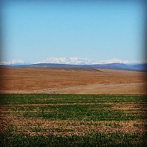
square squareformat hefe iphoneography instagramapp uploaded:by=instagram
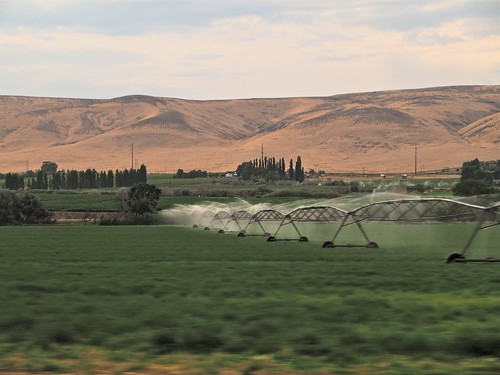
It' s a scenic view driving out to the farm from town. #NorthCascades #Cascades #Easter #GoingHome #KickBackRelax #Wheat #SpringWheat
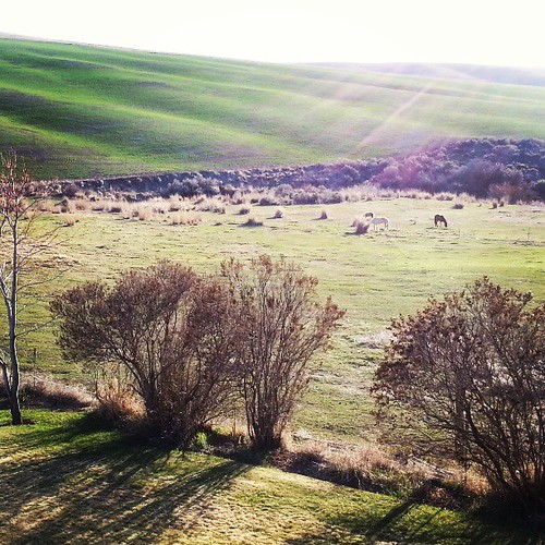
square lofi squareformat iphoneography instagramapp uploaded:by=instagram
Taking in the view of the pasture and #wheat fieldsin the late afternoon sun. #LateDaySun #OldMcDonaldHadAFarm #SpringIsOfficiallyHere
hdr washington coullee valley canyon sky clouds water soap landscape travel roadtrip bluesky outdoors outside blue
Soapy Lenore Lake
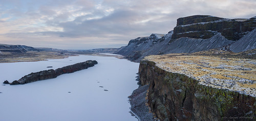
soaplake washington unitedstates us lenorelake panorama landscape djimavicpro drone photography coldweather grantcounty basalt land scenery
Lenore Lake
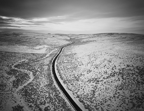
djimavicpro ephrata washington unitedstates us drone photography landscape winter snow road vanishingpoint blackandwhite monochrome distance
Baird Springs Road
americanpipit pipit buffbelliedpipit anthus anthusrubescens anthusrubescensrubescens motacillidae nigelje soaplake
American pipit (Anthus rubescens rubescens)
Soap Lake, WA
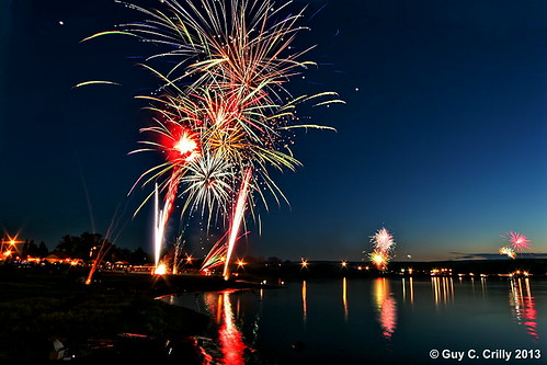
usa lake reflection beach water night landscape travelplace
Smokiam Days in Soap Lake 2013
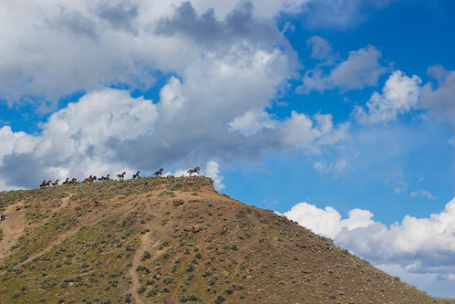
art ephrata horse monument pnw sculpture bush clouds dirt hill hillside sky soil washington grant weather
Horse Monument
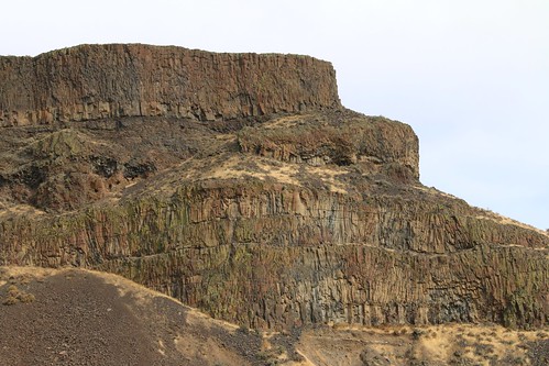
basalt columnarjointing iceagefloods scablands usa washingtonstate
Washington State, Channeled Scablands, Grand Coulee IMG_4772
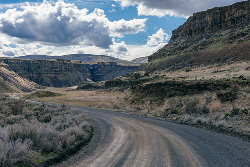
ephrata washington unitedstates us grantcounty road gravel rural
Sky's The Limit
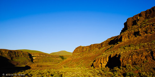
grantcounty washington threedevilsgrade desert canyon palisades unitedstates us landscape
Three Devils Grade
Healing Waters For One's Soul (Part 2): A Soap Lake Story
usa northamerica coulee easternwashington centralwashington douglascounty
Moses Coulee
amtrak olympus1260mm train washington washingtonstate zuikodigital empirebuilder travel rail
2014.07.22-21.49.54
soaplake washington unitedstatesofamerica us i90 highway hwy 2 155 174 dam landscape geotag dry falls state park cascades mountains columbia river pov canon dslr road trip geology wa uw
20190313 5DIV Washington State 70
washington caboose washingtonstate burlingtonnorthern aboardamtrak
All by its Lonesome
Meandering Across Washington
soaplake washington unitedstatesofamerica us i90 highway hwy 2 155 174 dam landscape geotag dry falls state park cascades mountains columbia river pov canon dslr road trip geology wa uw
20190313 5DIV Washington State 67