Elevation of WA-, Quincy, WA, USA
Location: United States > Washington > Grant County > Quincy >
Longitude: -119.85424
Latitude: 47.212507
Elevation: 390m / 1280feet
Barometric Pressure: 97KPa
Elevation Map:
Satellite Map:
Related Photos:

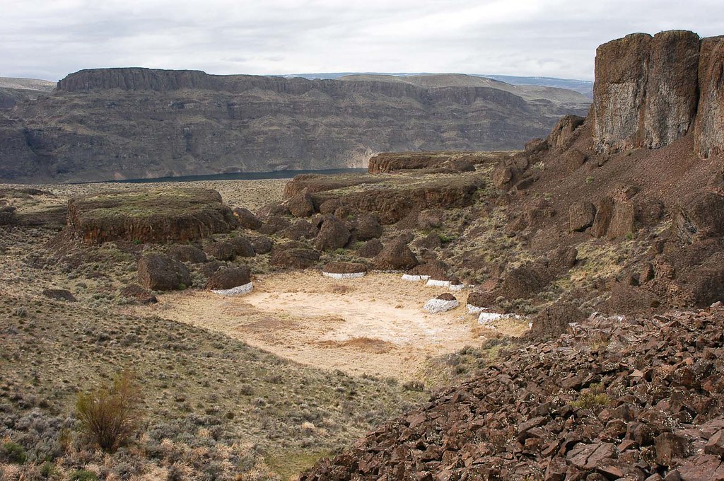
Ancient Lakes Lookout
Above Dusty Lake
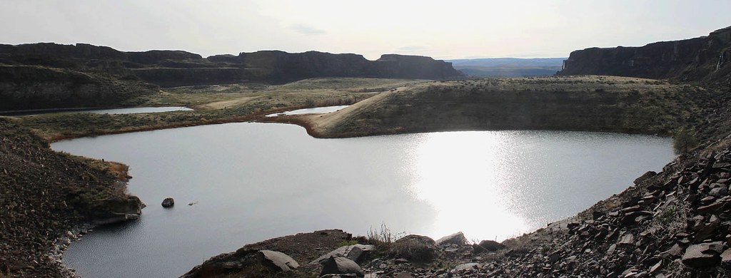
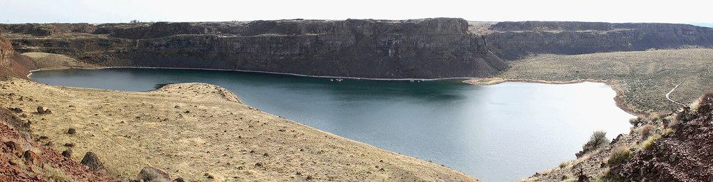
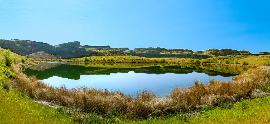
Ancient Lake southern panoramic view
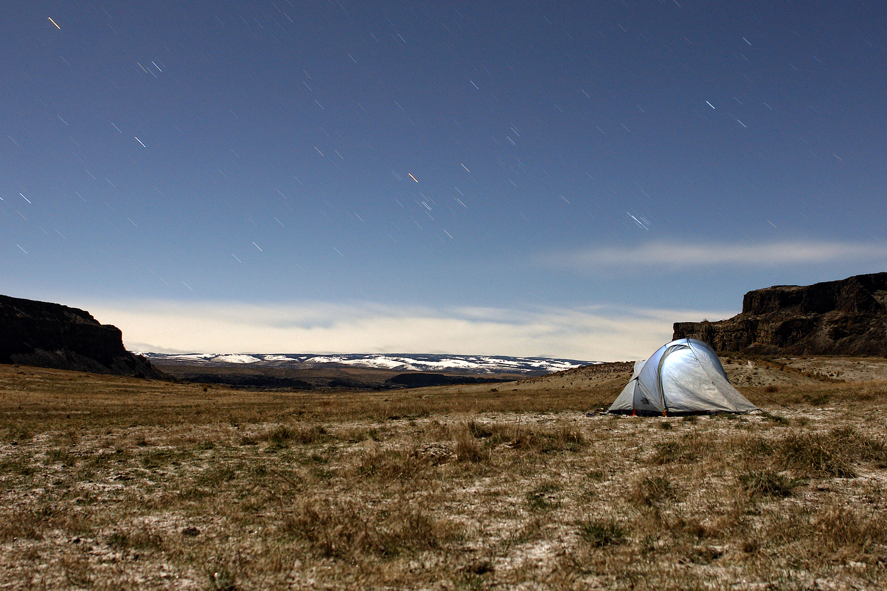
Coulee Camping in Eastern Washington
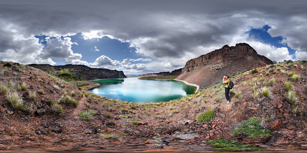
Ancient Lake northern panoramic view

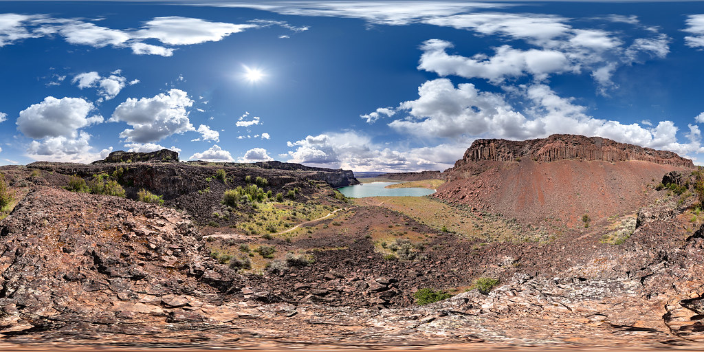
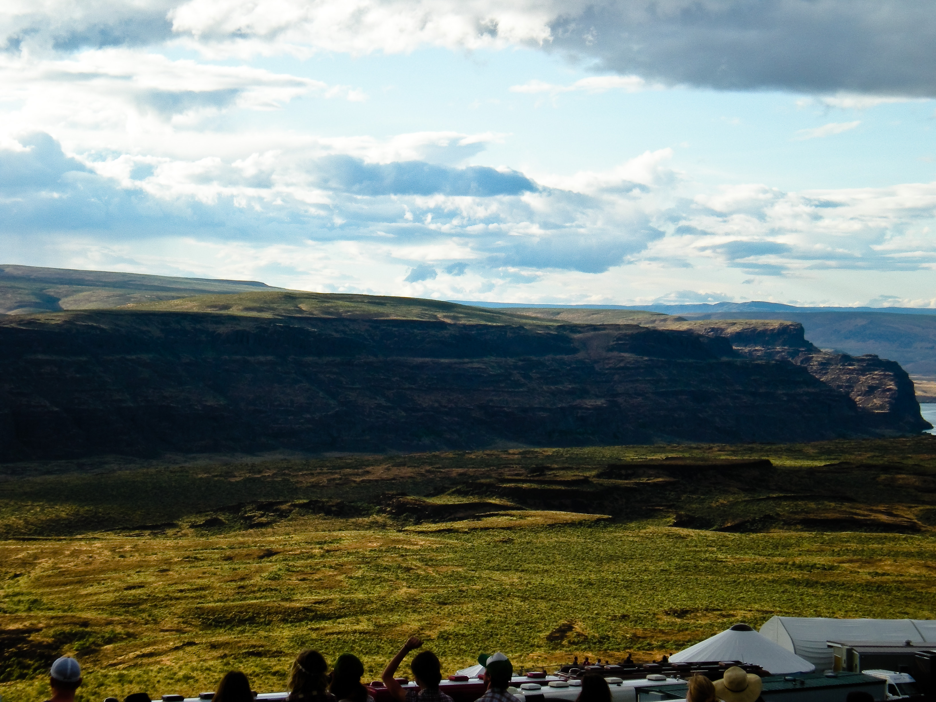
Coulee eastern panoramic view
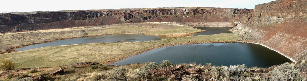
Dusty Lake southern panoramic view

Walking back to the campsite on the last night

Inlet on West Bar, Washington... .20030923_152
Dusty Lake, Potholes Coulee, Washington

Dusty Lake northern panoramic view
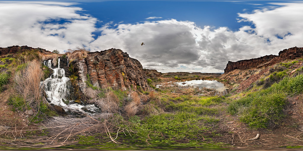
Potholes Coulee with Waterfall, Biplane, Beaver Lodge and Rain Approaching
Dusty Lake, Potholes Coulee, Washington
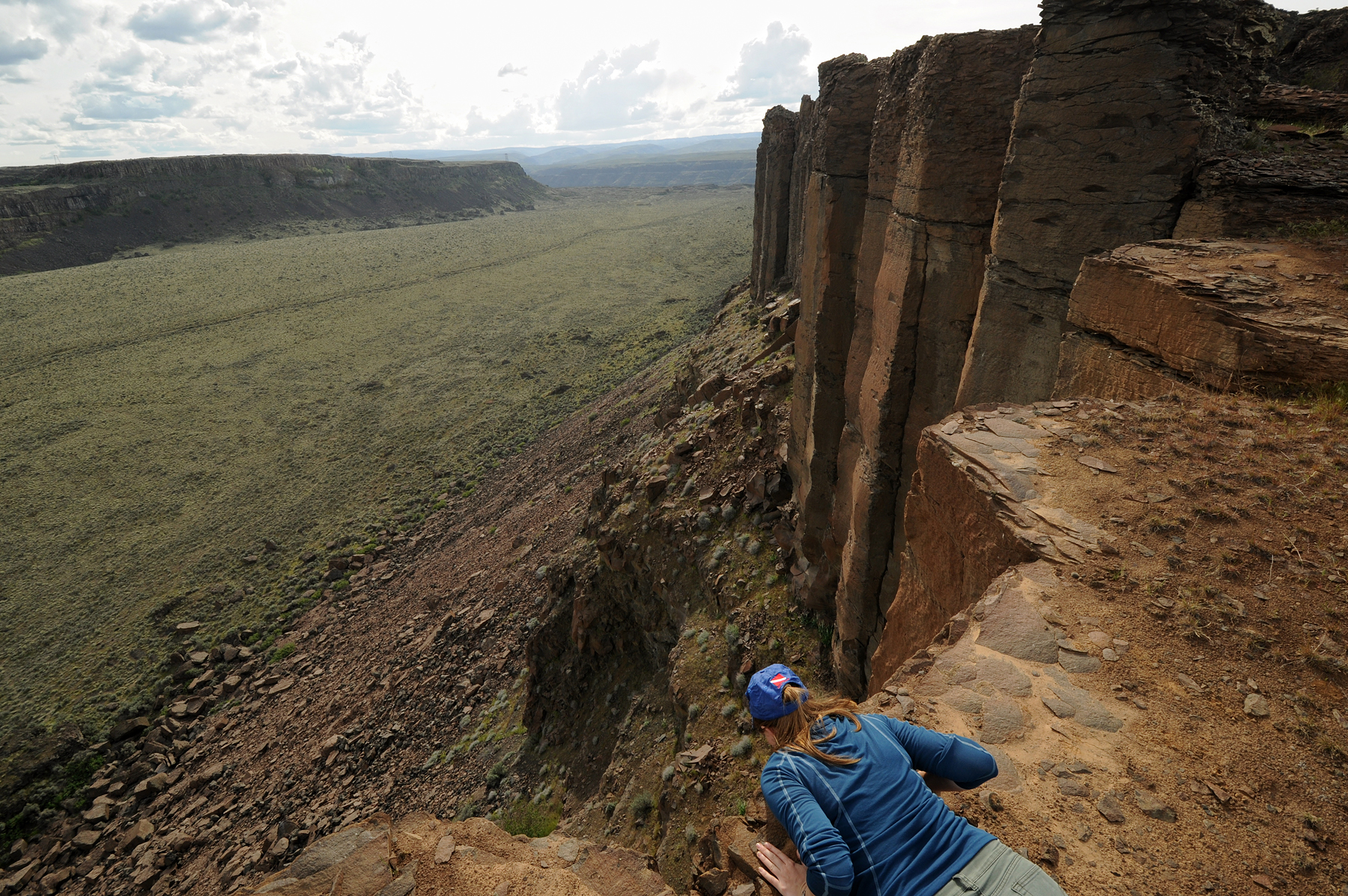
Precarious Cliff Top View
00062 Crescent Bar, Wa.
sasquatch-36

West view
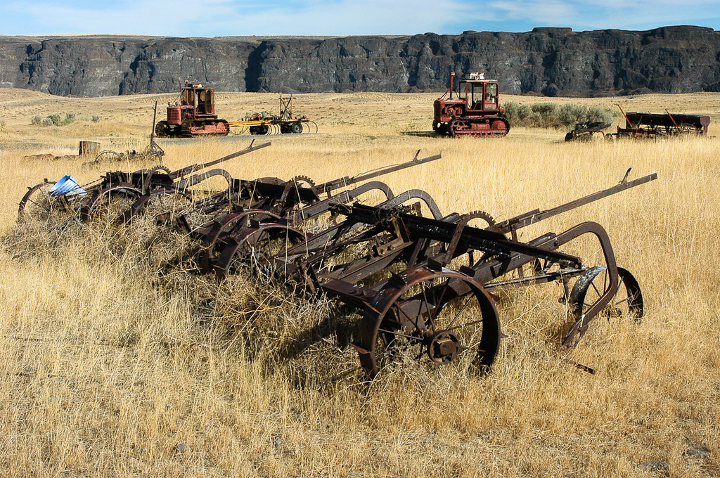
20030923_113...Farming implements of an earlier time
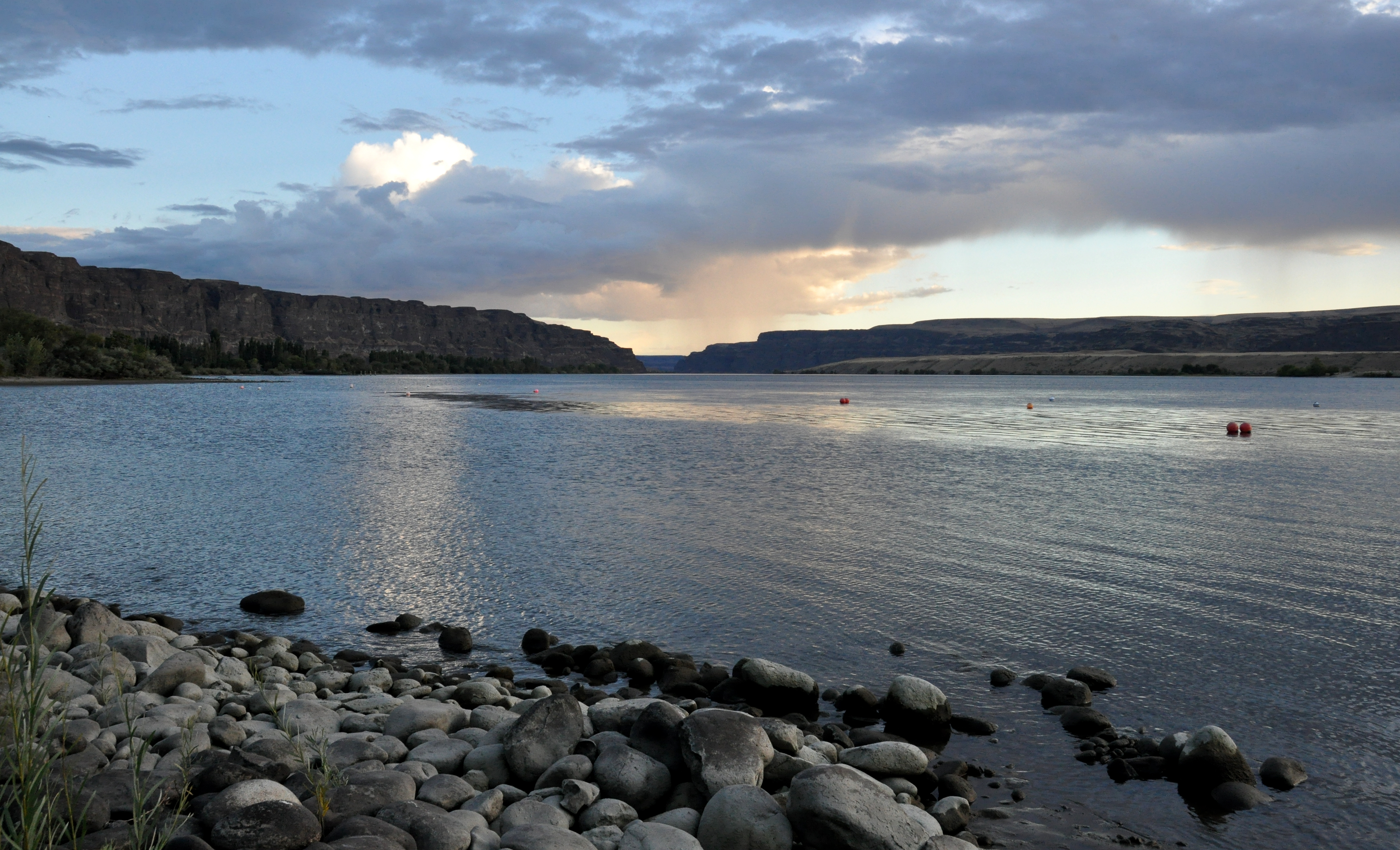
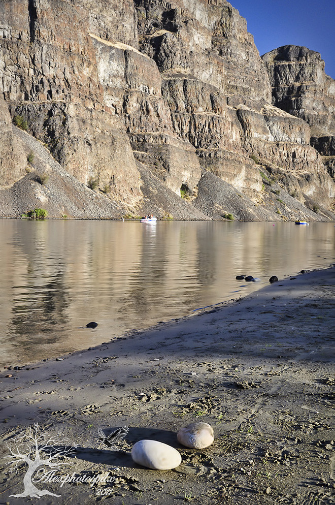
Columbia River Cliffs from Rocky Beach
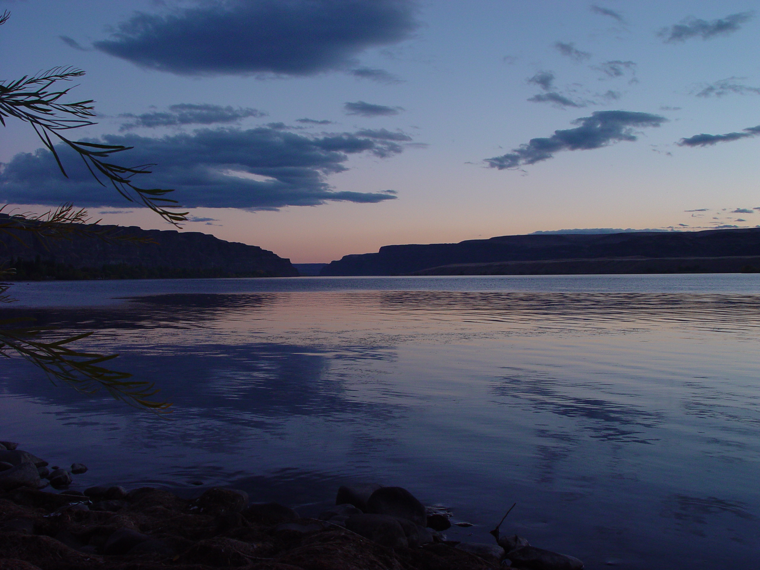
Crescent Bar LTR - Sunset View
Reading at West Bar, Columbia River

Whenever you call

Ancient Lakes Trail
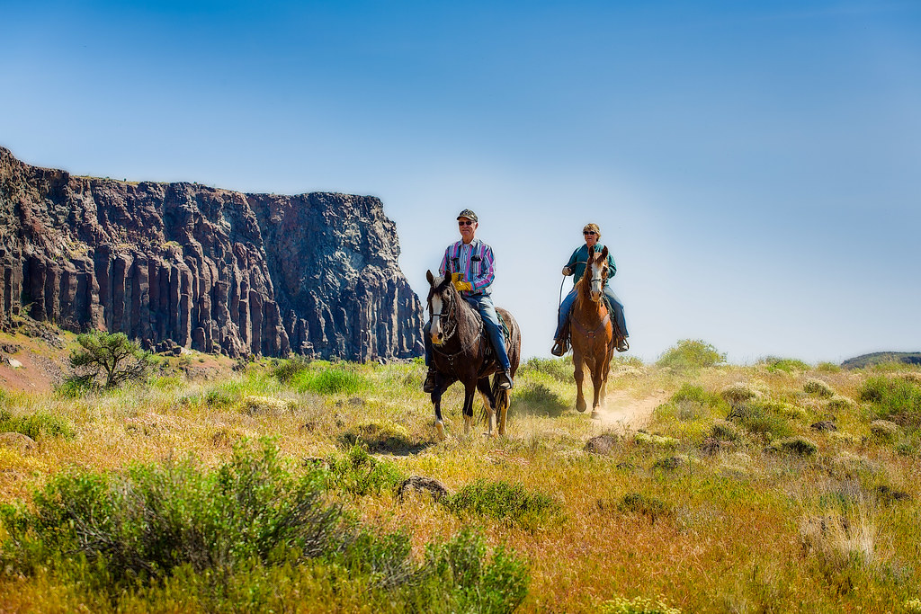
Riding the Ancient Lakes Trail
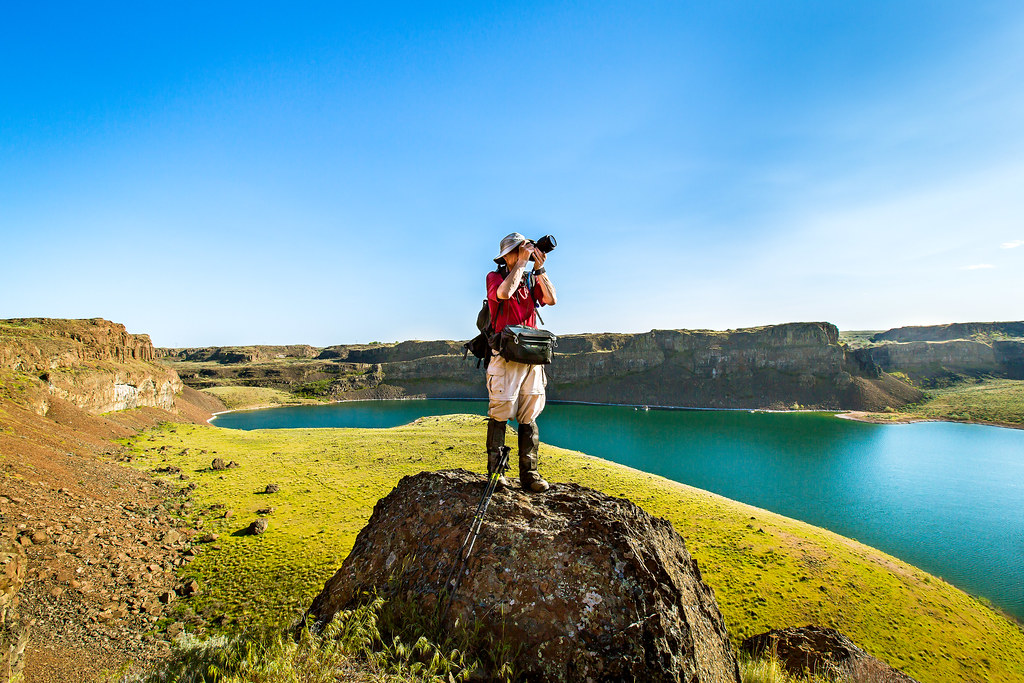
Waterfall Photographer
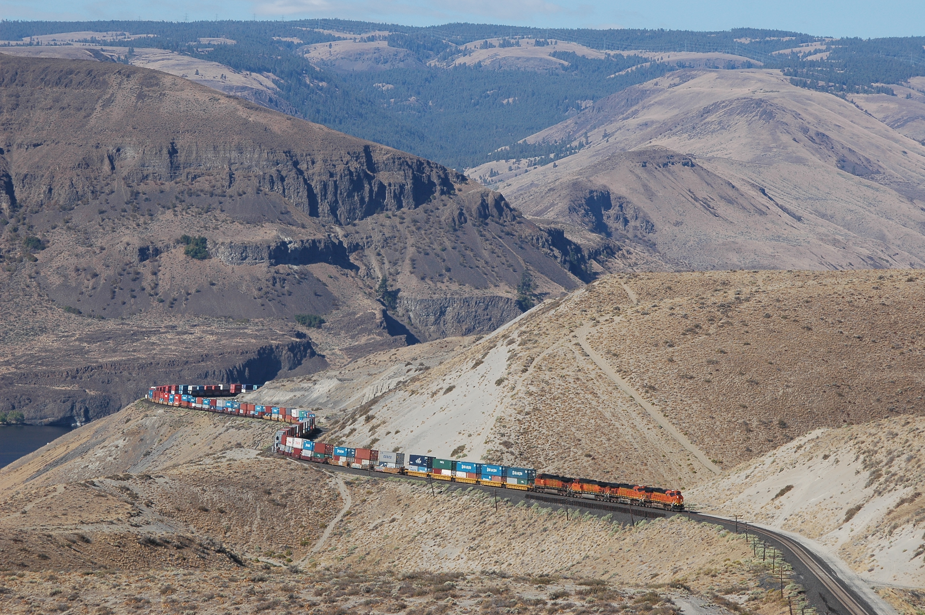
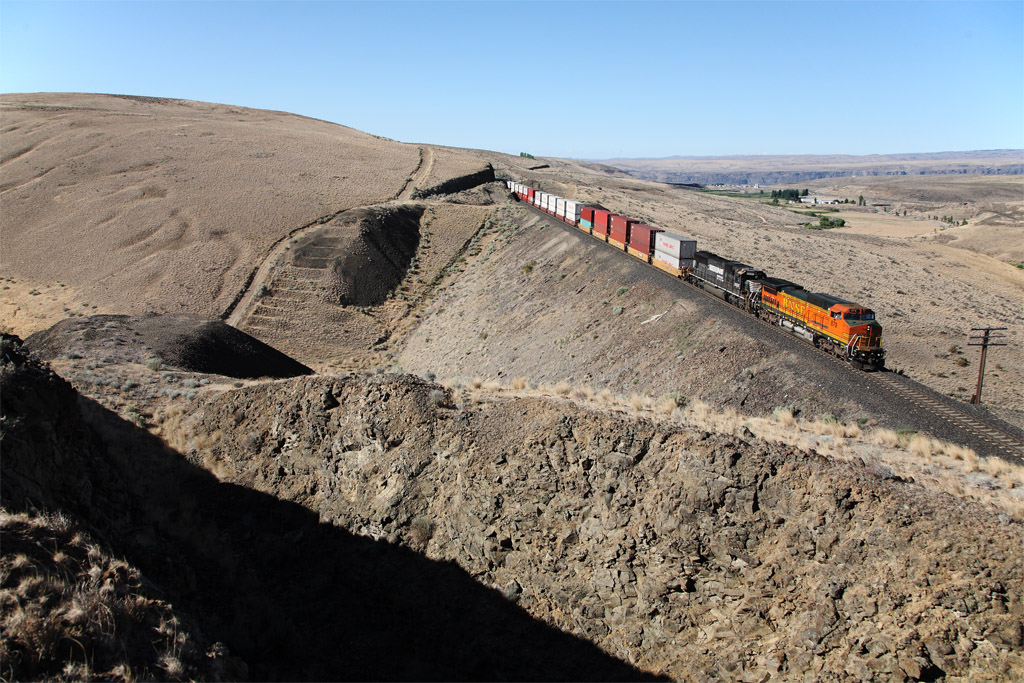
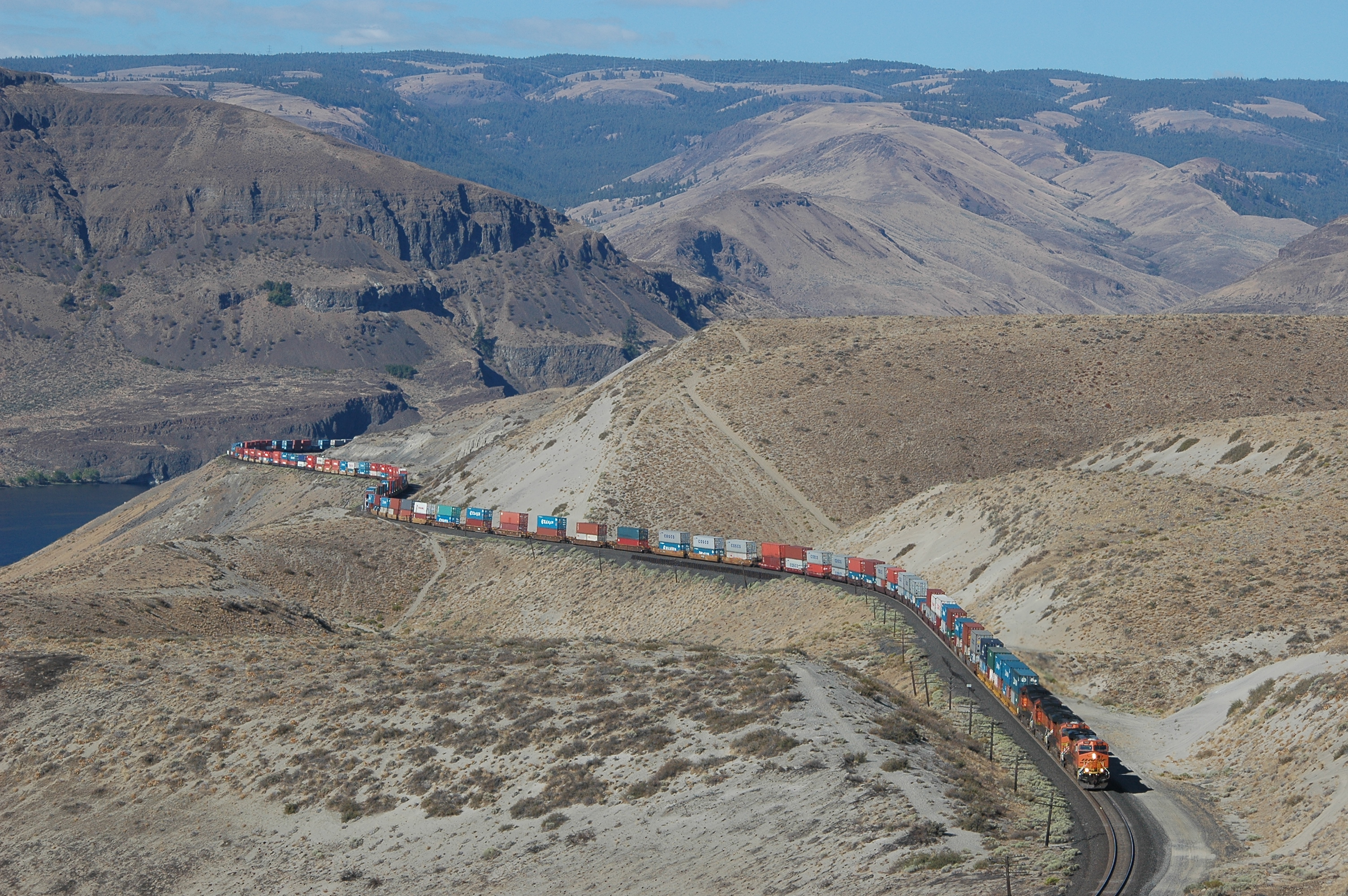
BNSF 7631 east
Ancient Lake
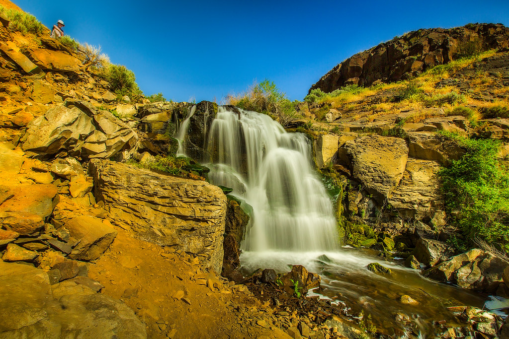
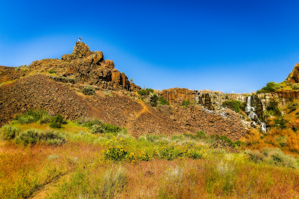
Ancient Lakes Falls
Wizard Canyon

Ancient Lakes Waterfall

Ancient Lakes

Ancient Lakes
White stains... 20040325_026
Down the tangent

RoadTrip 201207200040

Cuts in the basalt
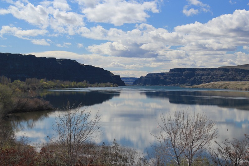
Reflections on the Columbia River at Crescent Bar
Tacoma-St Paul stacks climb out of the Columbia River valley near Trinidad WA 07.09.2008
Topographic Map of WA-, Quincy, WA, USA
Find elevation by address:

Places near WA-, Quincy, WA, USA:
Wa-281 & Rd 9 Nw
24 F St Sw
Quincy
2200 M St Ne
George
9054 Crescent Bar Rd Nw Unit 13
23572 Sunserra Loop #4
23572 Sunserra Loop #2
9054 Crescent Bar Rd Nw
9252 Crescent Bar Rd Nw
Rd 9.8 Nw & Rd W 8 Nw
Rd 9.7 Nw & Rd W 8 Nw
Trinidad
Crescent Bar Rd NW, Quincy, WA, USA
Palisades Rd, Palisades, WA, USA
Palisades
Wanapum Lake
1184 River Dr
Old Vantage Highway
5549 Rd 9.6 Nw
Recent Searches:
- Elevation of Zimmer Trail, Pennsylvania, USA
- Elevation of 87 Kilmartin Ave, Bristol, CT, USA
- Elevation of Honghe National Nature Reserve, QP95+PJP, Tongjiang, Heilongjiang, Jiamusi, Heilongjiang, China
- Elevation of Hercules Dr, Colorado Springs, CO, USA
- Elevation of Szlak pieszy czarny, Poland
- Elevation of Griffing Blvd, Biscayne Park, FL, USA
- Elevation of Kreuzburger Weg 13, Düsseldorf, Germany
- Elevation of Gateway Blvd SE, Canton, OH, USA
- Elevation of East W.T. Harris Boulevard, E W.T. Harris Blvd, Charlotte, NC, USA
- Elevation of West Sugar Creek, Charlotte, NC, USA