Elevation of Pumari Chhish
Longitude: 75.25
Latitude: 36.2116666
Elevation: 6923m / 22713feet
Barometric Pressure: 41KPa
Elevation Map:
Satellite Map:
Related Photos:
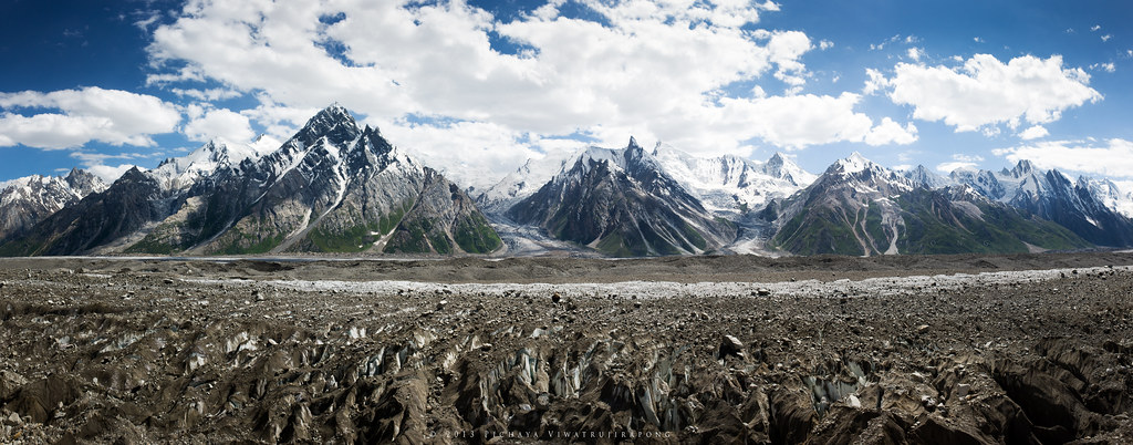
Glacier Highway

Askole Valley
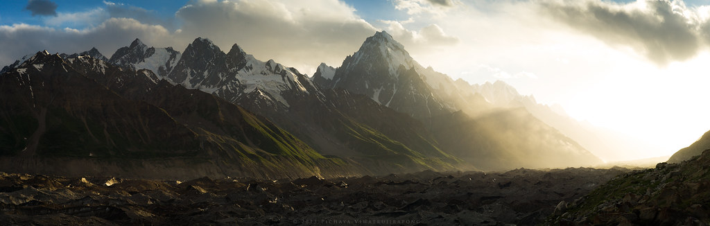
Majestic Sunset at Jutmal Camp
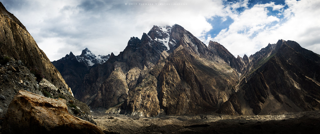
Enter the Titan
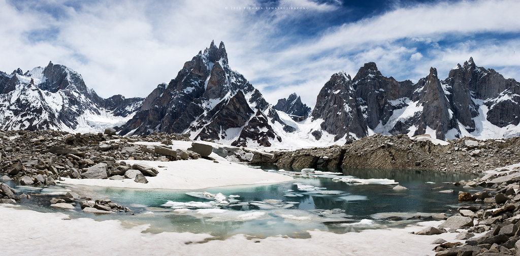
Across Biafo Glacier
Topographic Map of Pumari Chhish
Find elevation by address:

Places near Pumari Chhish:
Kunyang Chhish
Yutmaru Sar
Hispar Glacier
Disteghil Sar
Yukshin Gardan Sar
Kanjut Sar I
Kanjut Sar
Mulungutti Glacier
Malangutti Sar
Trivor
Momhil Sar
Lupghar Sar
Lupghar Yaz Glacier
Momhil Glacier
Spantik
Hunza Nagar
Rush Lake
Attabad Lake
Chaman Gul
Hunza Marcopolo Inn Gulmit
Recent Searches:
- Elevation of Corso Fratelli Cairoli, 35, Macerata MC, Italy
- Elevation of Tallevast Rd, Sarasota, FL, USA
- Elevation of 4th St E, Sonoma, CA, USA
- Elevation of Black Hollow Rd, Pennsdale, PA, USA
- Elevation of Oakland Ave, Williamsport, PA, USA
- Elevation of Pedrógão Grande, Portugal
- Elevation of Klee Dr, Martinsburg, WV, USA
- Elevation of Via Roma, Pieranica CR, Italy
- Elevation of Tavkvetili Mountain, Georgia
- Elevation of Hartfords Bluff Cir, Mt Pleasant, SC, USA