Elevation map of Hunza Nagar
Longitude: 75.1545381
Latitude: 36.5332782
Elevation: 4332m / 14213feet
Barometric Pressure: 59KPa
Elevation Map:
Satellite Map:
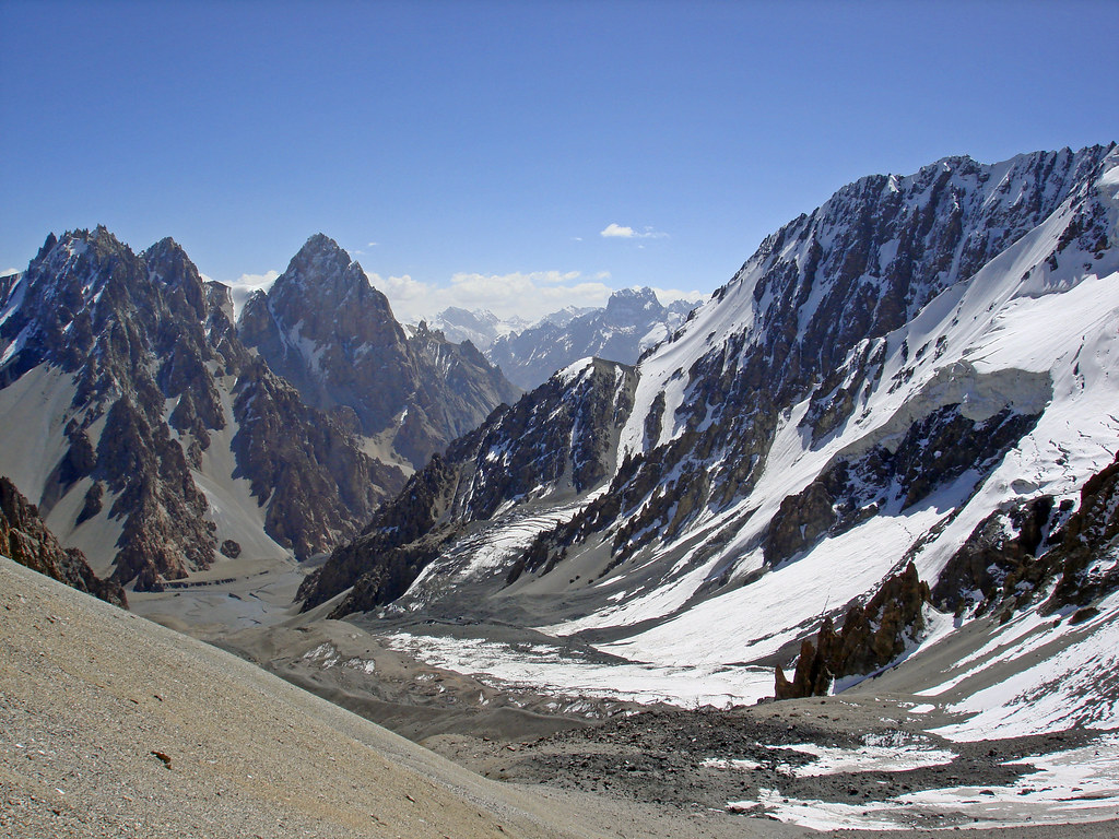
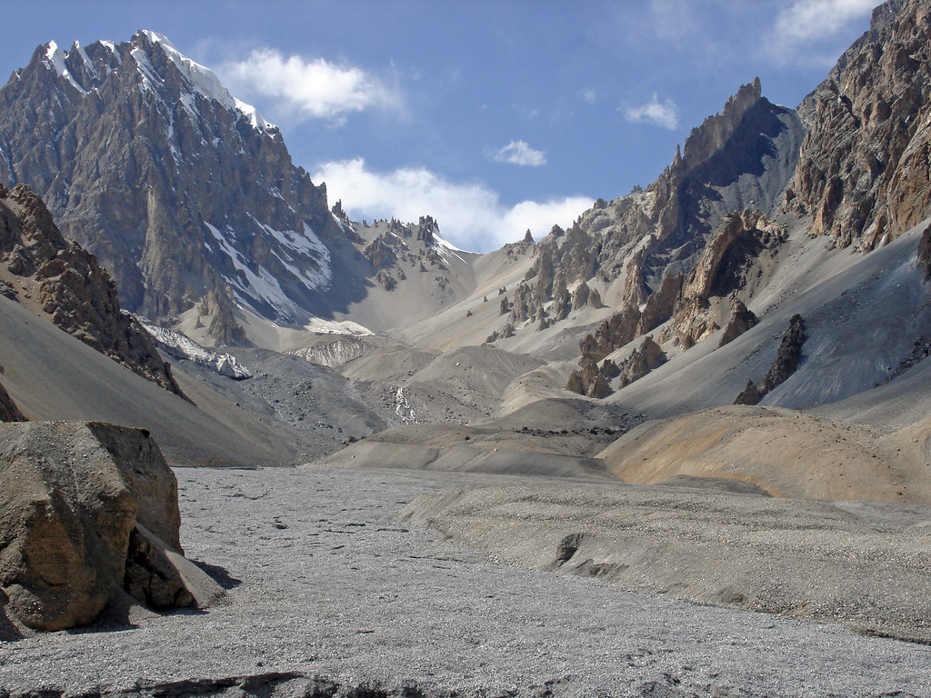
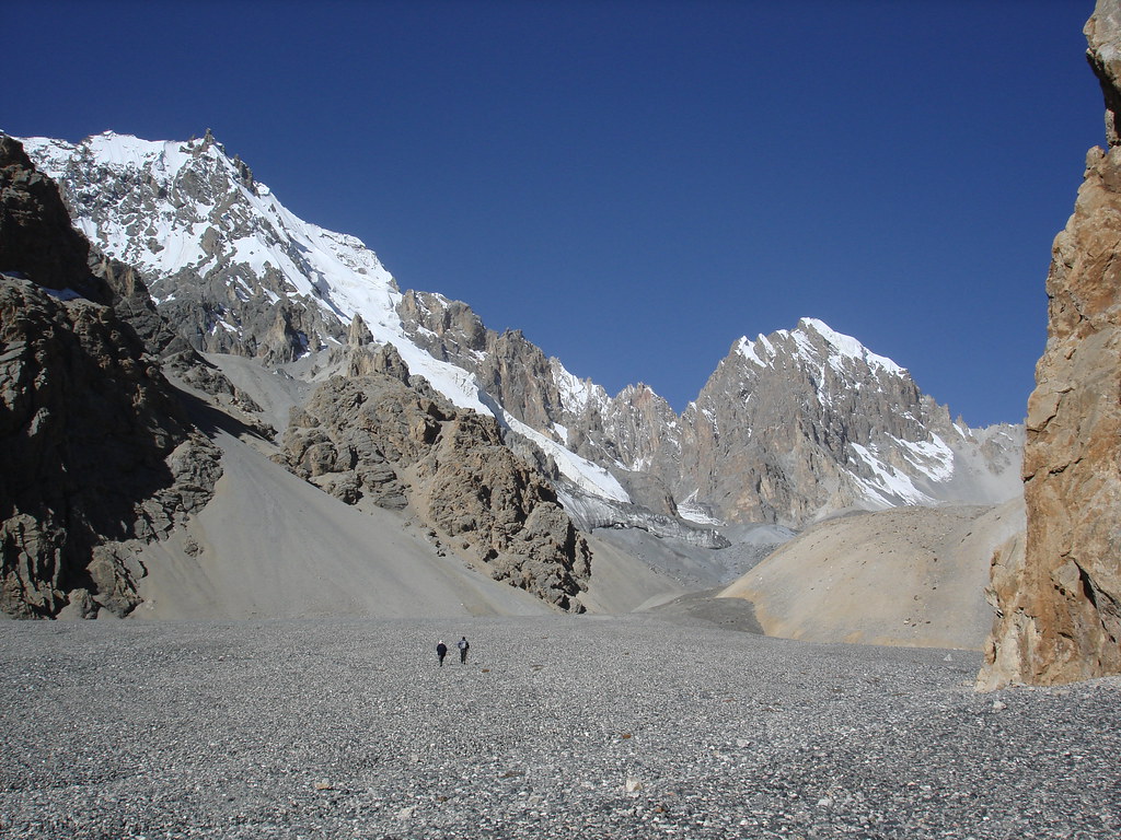
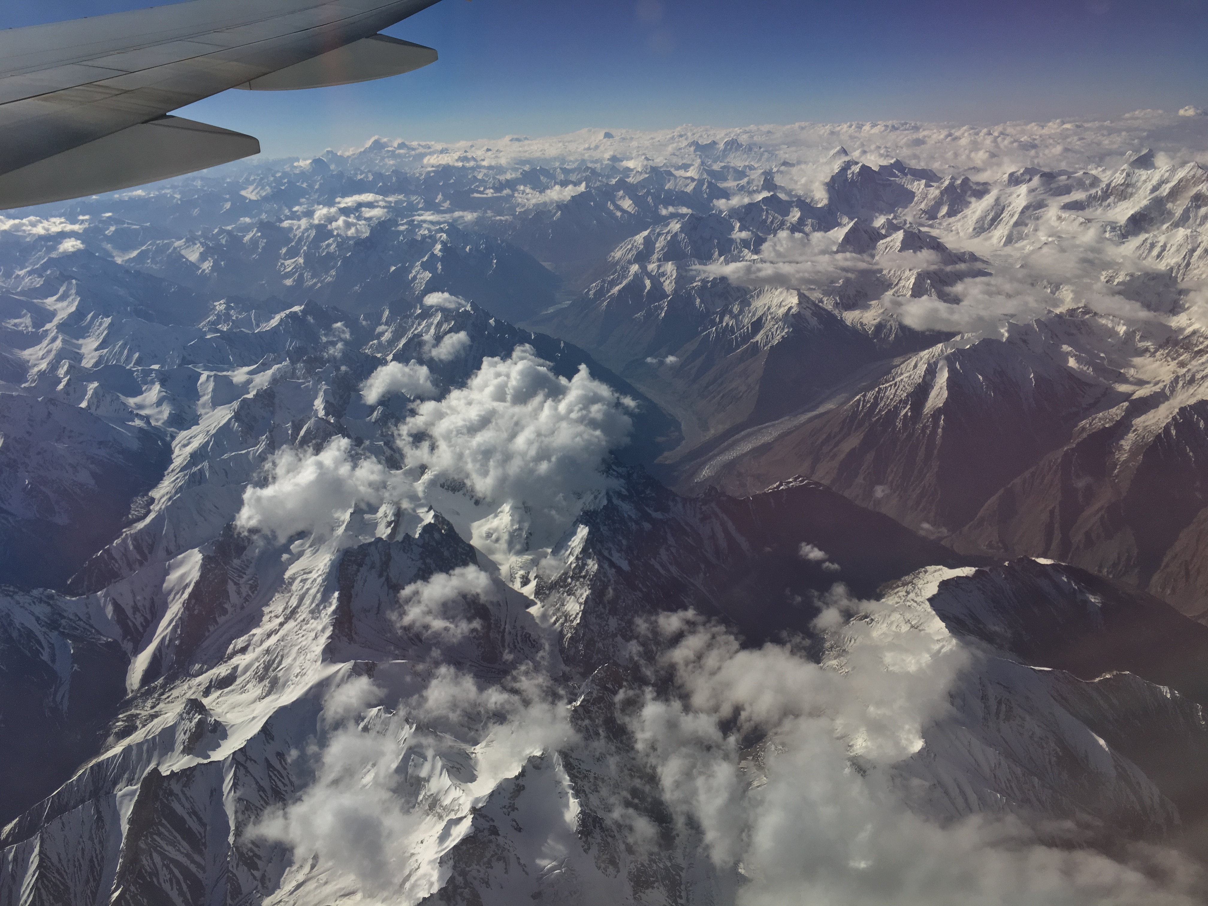
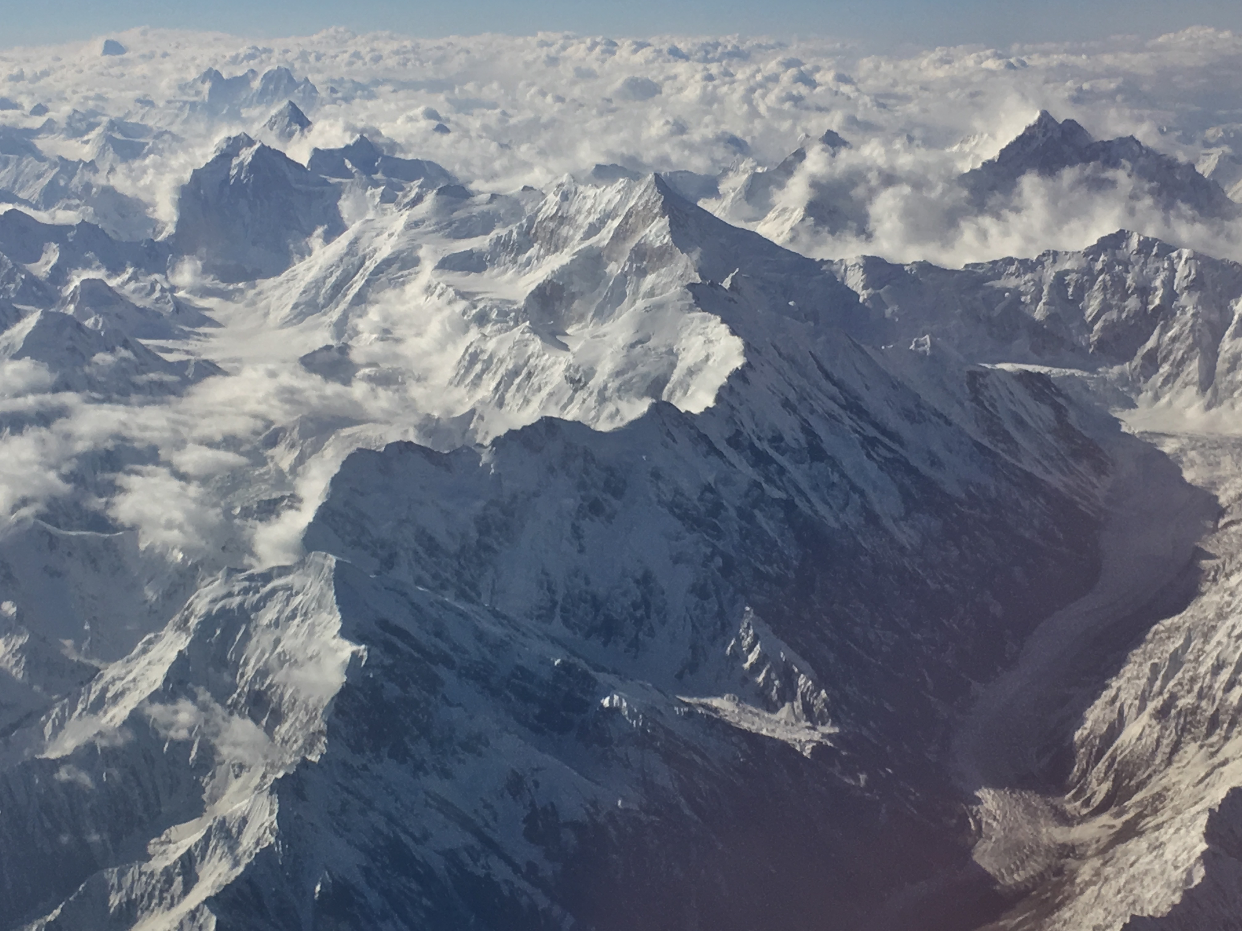
Related Photos:

Pak1 187 Zardgarben
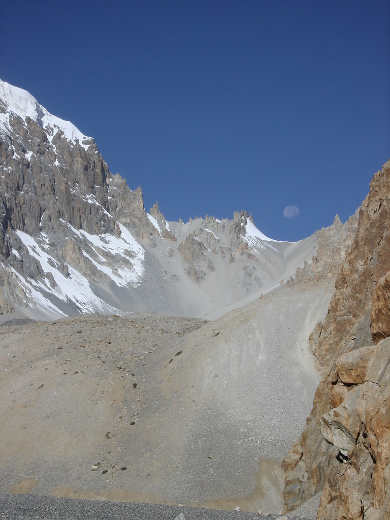
Pak1 185 Zardgarben
Pak1 188 Zardgarben

Pak1 211 Distaghil Sar (Disteghil Sar)
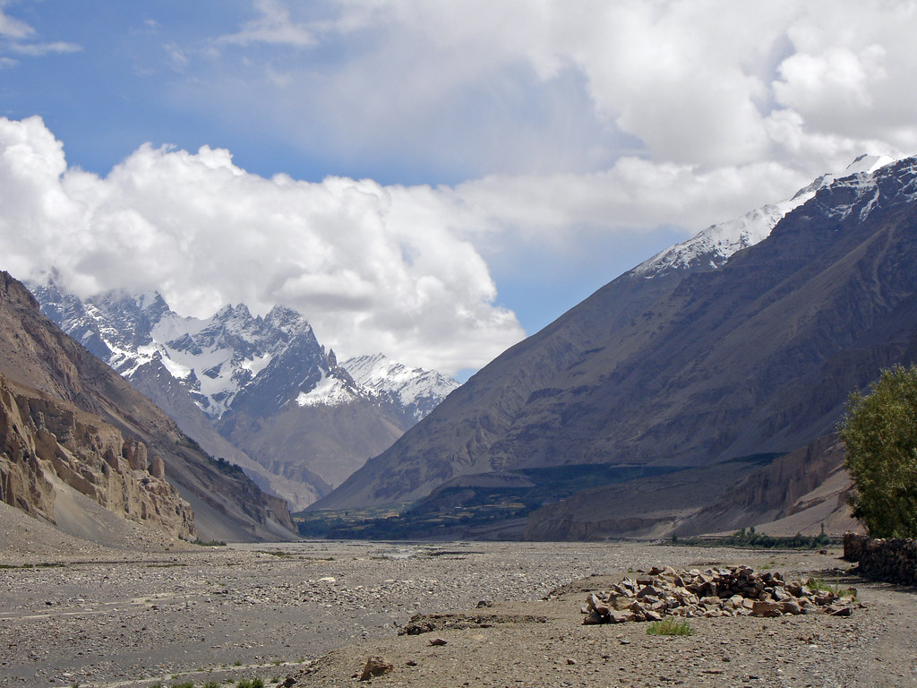
Pak0 034 Passu to Shimshal
Pak1 189 Zardgarben
Pak1 184 Zardgarben

Pak0 030 Passu to Shimshal
2016-05-20 07.11.37
2016-05-20 07.10.48
Topographic Map of Hunza Nagar
Find elevation by address:

Places near Hunza Nagar:
Momhil Glacier
Mulungutti Glacier
Malangutti Sar
Lupghar Yaz Glacier
Disteghil Sar
Lupghar Sar
Momhil Sar
Trivor
Passu Inn
Passu
Pasu
Shisper View Hotel
Passu Glacier Inn
Borith Lake Hotel & Resort
Ghulkin
Hunza Marcopolo Inn Gulmit
Chaman Gul
Kunyang Chhish
Pumari Chhish
Yukshin Gardan Sar
Recent Searches:
- Elevation of Rojo Ct, Atascadero, CA, USA
- Elevation of Flagstaff Drive, Flagstaff Dr, North Carolina, USA
- Elevation of Avery Ln, Lakeland, FL, USA
- Elevation of Woolwine, VA, USA
- Elevation of Lumagwas Diversified Farmers Multi-Purpose Cooperative, Lumagwas, Adtuyon, RV32+MH7, Pangantucan, Bukidnon, Philippines
- Elevation of Homestead Ridge, New Braunfels, TX, USA
- Elevation of Orchard Road, Orchard Rd, Marlborough, NY, USA
- Elevation of 12 Hutchinson Woods Dr, Fletcher, NC, USA
- Elevation of Holloway Ave, San Francisco, CA, USA
- Elevation of Norfolk, NY, USA