Elevation of Lupghar Sar
Longitude: 75.0258333
Latitude: 36.3483333
Elevation: 7056m / 23150feet
Barometric Pressure: 41KPa
Elevation Map:
Satellite Map:
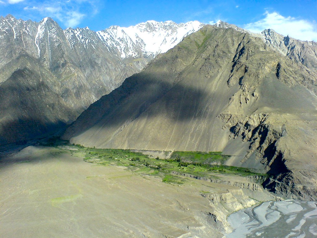
Related Photos:
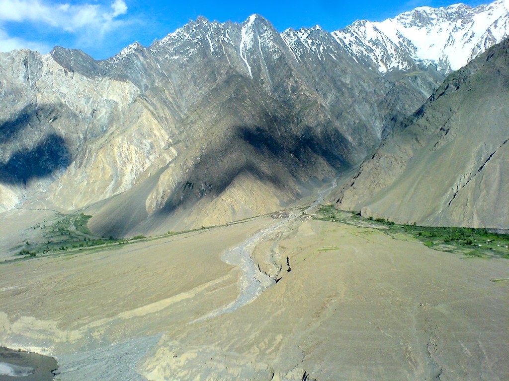
Passu - Zarabad Village from Karakoram Highway

Passu - Hussaini Village near Passu
Passu - Zarabad Village from Karakoram Highway
Topographic Map of Lupghar Sar
Find elevation by address:

Places near Lupghar Sar:
Momhil Sar
Lupghar Yaz Glacier
Trivor
Momhil Glacier
Malangutti Sar
Attabad Lake
Disteghil Sar
Hunza Marcopolo Inn Gulmit
Chaman Gul
Shisper View Hotel
Ghulkin
Passu
Pasu
Passu Glacier Inn
Passu Inn
Borith Lake Hotel & Resort
Mulungutti Glacier
Rush Lake
Hunza Nagar
Kunyang Chhish
Recent Searches:
- Elevation of Corso Fratelli Cairoli, 35, Macerata MC, Italy
- Elevation of Tallevast Rd, Sarasota, FL, USA
- Elevation of 4th St E, Sonoma, CA, USA
- Elevation of Black Hollow Rd, Pennsdale, PA, USA
- Elevation of Oakland Ave, Williamsport, PA, USA
- Elevation of Pedrógão Grande, Portugal
- Elevation of Klee Dr, Martinsburg, WV, USA
- Elevation of Via Roma, Pieranica CR, Italy
- Elevation of Tavkvetili Mountain, Georgia
- Elevation of Hartfords Bluff Cir, Mt Pleasant, SC, USA