Elevation of Chaman Gul
Longitude: 74.8613654
Latitude: 36.3788992
Elevation: 2482m / 8143feet
Barometric Pressure: 75KPa
Elevation Map:
Satellite Map:
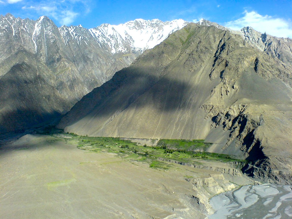
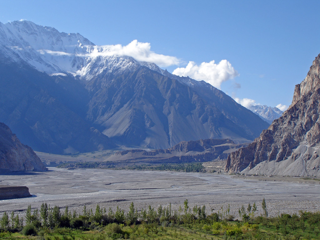
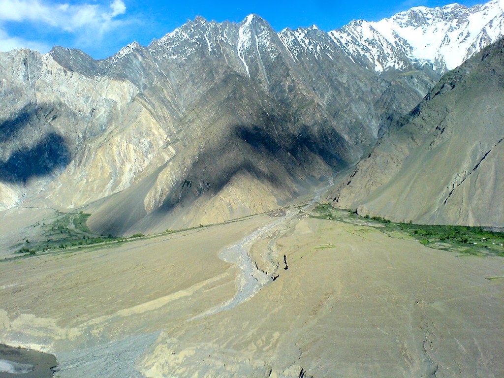
Related Photos:

Passu - Hussaini Village near Passu
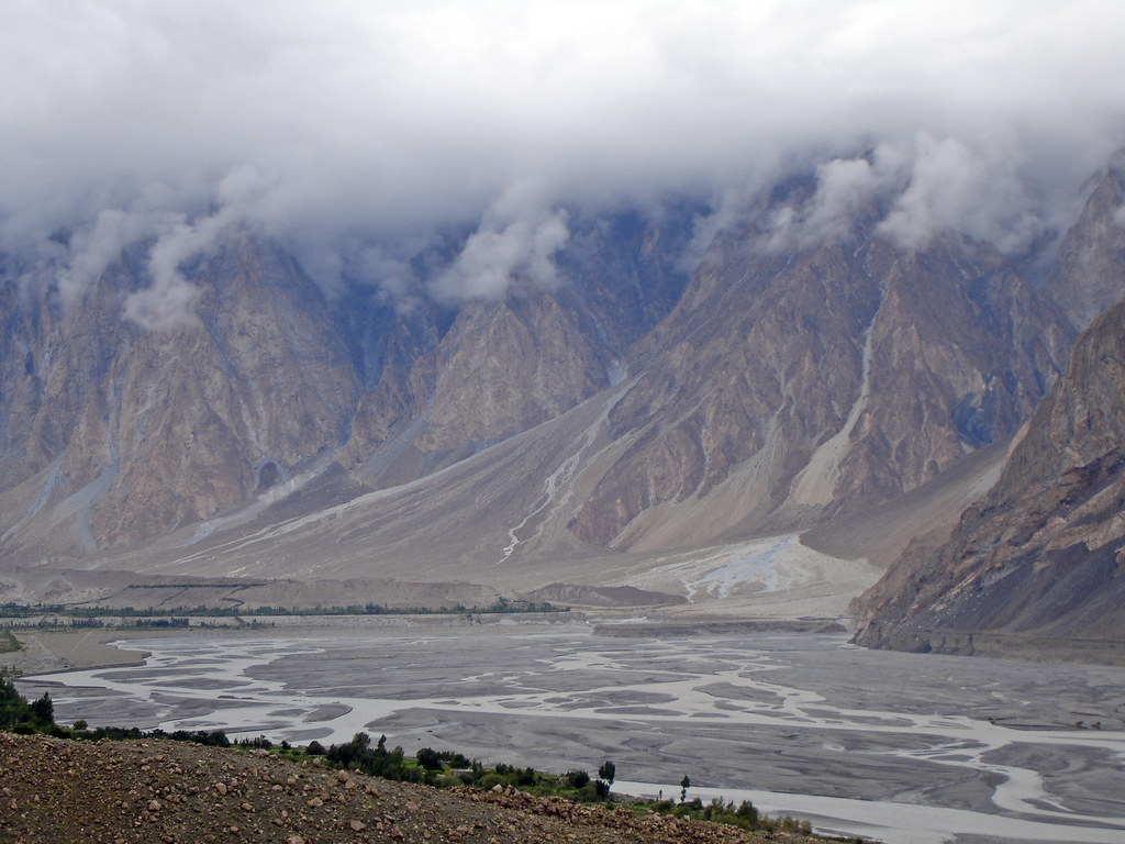
Pak0 011 Passu
Passu - Zarabad Village from Karakoram Highway

Northern view of Borit Lake
Pak0 015 Passu
Passu - Zarabad Village from Karakoram Highway
Topographic Map of Chaman Gul
Find elevation by address:

Places near Chaman Gul:
Hunza Marcopolo Inn Gulmit
Ghulkin
Borith Lake Hotel & Resort
Attabad Lake
Shisper View Hotel
Passu Glacier Inn
Passu
Pasu
Passu Inn
Patundas Meadows - Ghulkin Gojal Hunza
Pasu Glacier
Lupghar Yaz Glacier
Lupghar Sar
Nagar Khas
Hunza Nagar
Momhil Sar
Hopar Valley
Shisparé Sar
Baltit Fort
Cafe De Hunza
Recent Searches:
- Elevation of Corso Fratelli Cairoli, 35, Macerata MC, Italy
- Elevation of Tallevast Rd, Sarasota, FL, USA
- Elevation of 4th St E, Sonoma, CA, USA
- Elevation of Black Hollow Rd, Pennsdale, PA, USA
- Elevation of Oakland Ave, Williamsport, PA, USA
- Elevation of Pedrógão Grande, Portugal
- Elevation of Klee Dr, Martinsburg, WV, USA
- Elevation of Via Roma, Pieranica CR, Italy
- Elevation of Tavkvetili Mountain, Georgia
- Elevation of Hartfords Bluff Cir, Mt Pleasant, SC, USA