Elevation of Kunyang Chhish
Longitude: 75.2065296
Latitude: 36.2049642
Elevation: 7780m / 25525feet
Barometric Pressure: 37KPa
Elevation Map:
Satellite Map:
Related Photos:
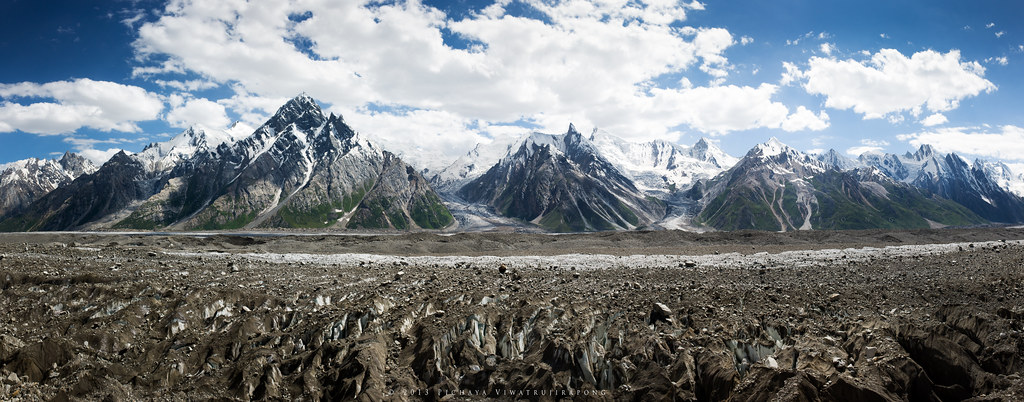
Glacier Highway
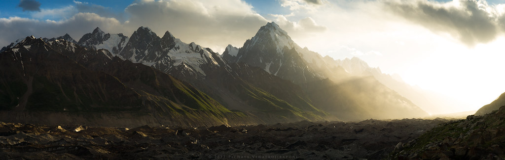
Majestic Sunset at Jutmal Camp
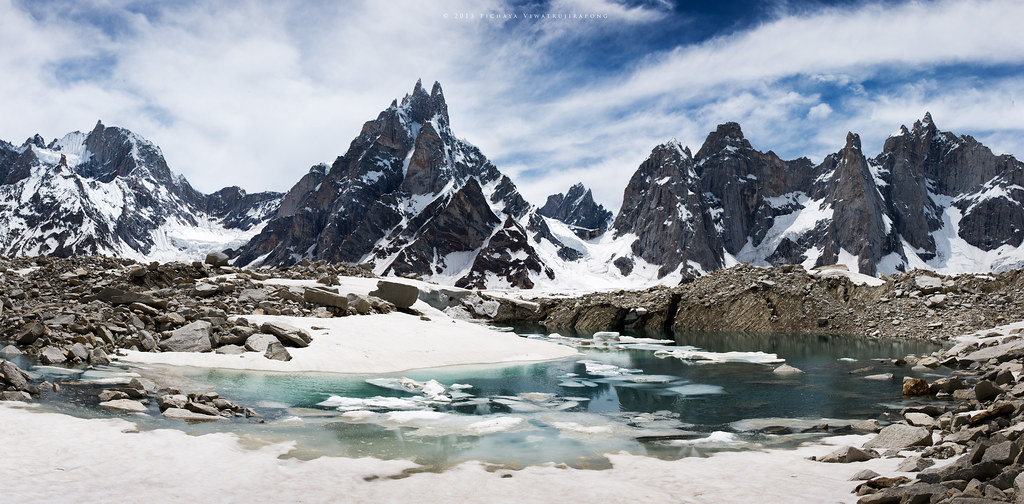
Across Biafo Glacier

Askole Valley
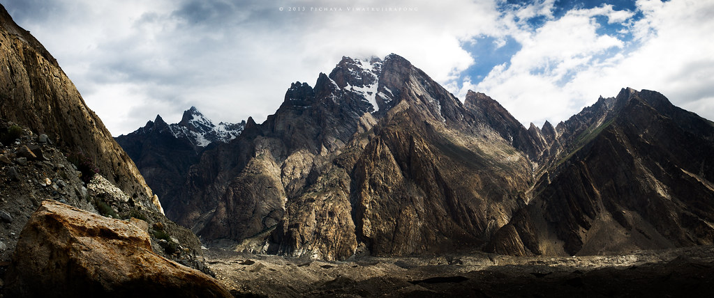
Enter the Titan
Topographic Map of Kunyang Chhish
Find elevation by address:

Places near Kunyang Chhish:
Pumari Chhish
Disteghil Sar
Hispar Glacier
Trivor
Yutmaru Sar
Malangutti Sar
Yukshin Gardan Sar
Mulungutti Glacier
Momhil Sar
Kanjut Sar
Kanjut Sar I
Lupghar Sar
Lupghar Yaz Glacier
Spantik
Momhil Glacier
Rush Lake
Hunza Nagar
Attabad Lake
Chaman Gul
Malubiting
Recent Searches:
- Elevation of Corso Fratelli Cairoli, 35, Macerata MC, Italy
- Elevation of Tallevast Rd, Sarasota, FL, USA
- Elevation of 4th St E, Sonoma, CA, USA
- Elevation of Black Hollow Rd, Pennsdale, PA, USA
- Elevation of Oakland Ave, Williamsport, PA, USA
- Elevation of Pedrógão Grande, Portugal
- Elevation of Klee Dr, Martinsburg, WV, USA
- Elevation of Via Roma, Pieranica CR, Italy
- Elevation of Tavkvetili Mountain, Georgia
- Elevation of Hartfords Bluff Cir, Mt Pleasant, SC, USA