Elevation of Polk Rd 85, Mena, AR, USA
Location: United States > Arkansas > Polk County > Center Township > Mena >
Longitude: -93.959701
Latitude: 34.602801
Elevation: 281m / 922feet
Barometric Pressure: 98KPa
Elevation Map:
Satellite Map:
Related Photos:

Driving through the Ouachita National Forest

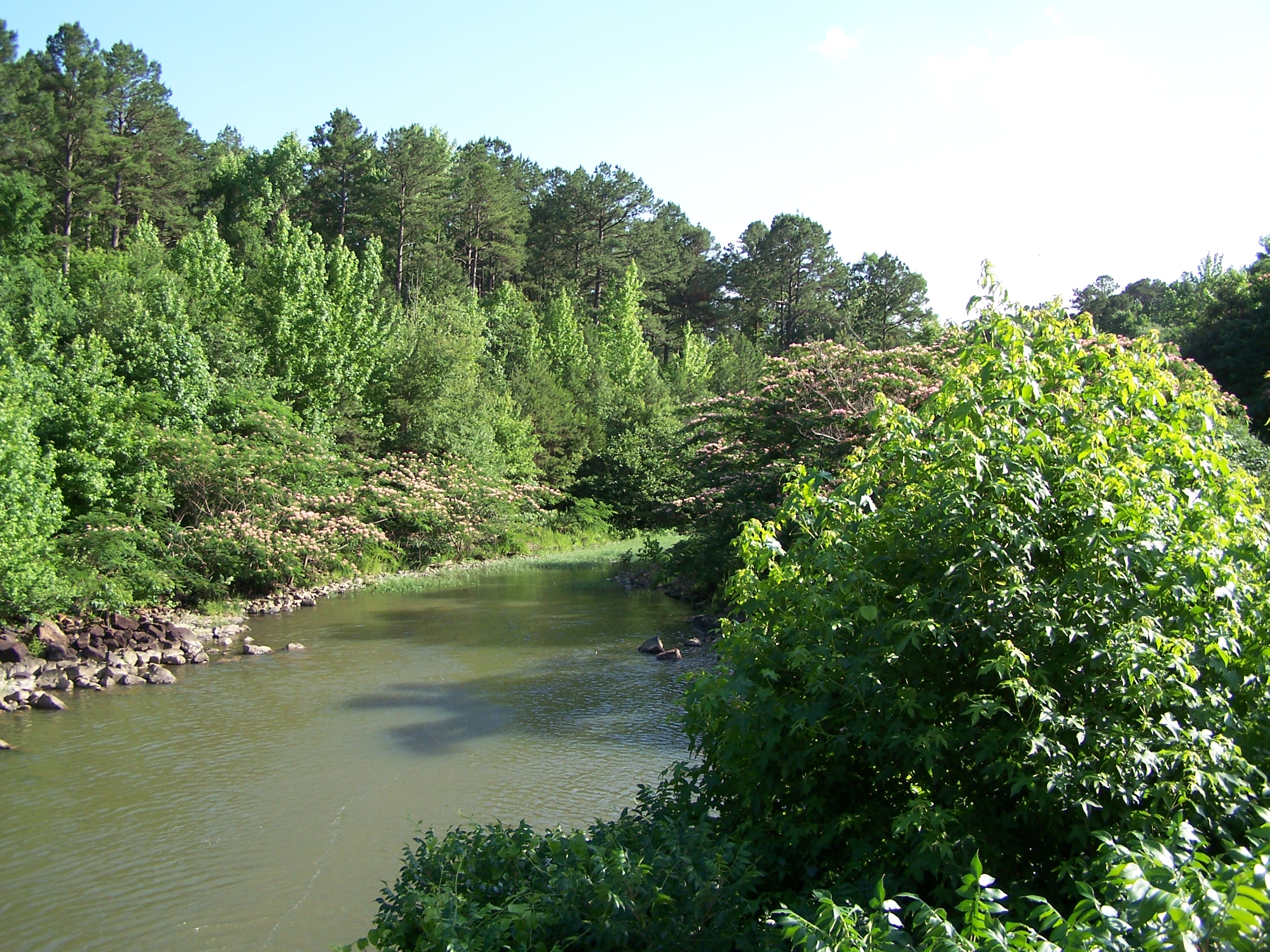
Big Fork Creek-Deck View

Irons Fork Lake

Ouachita Mountains

Irons Fork Lake
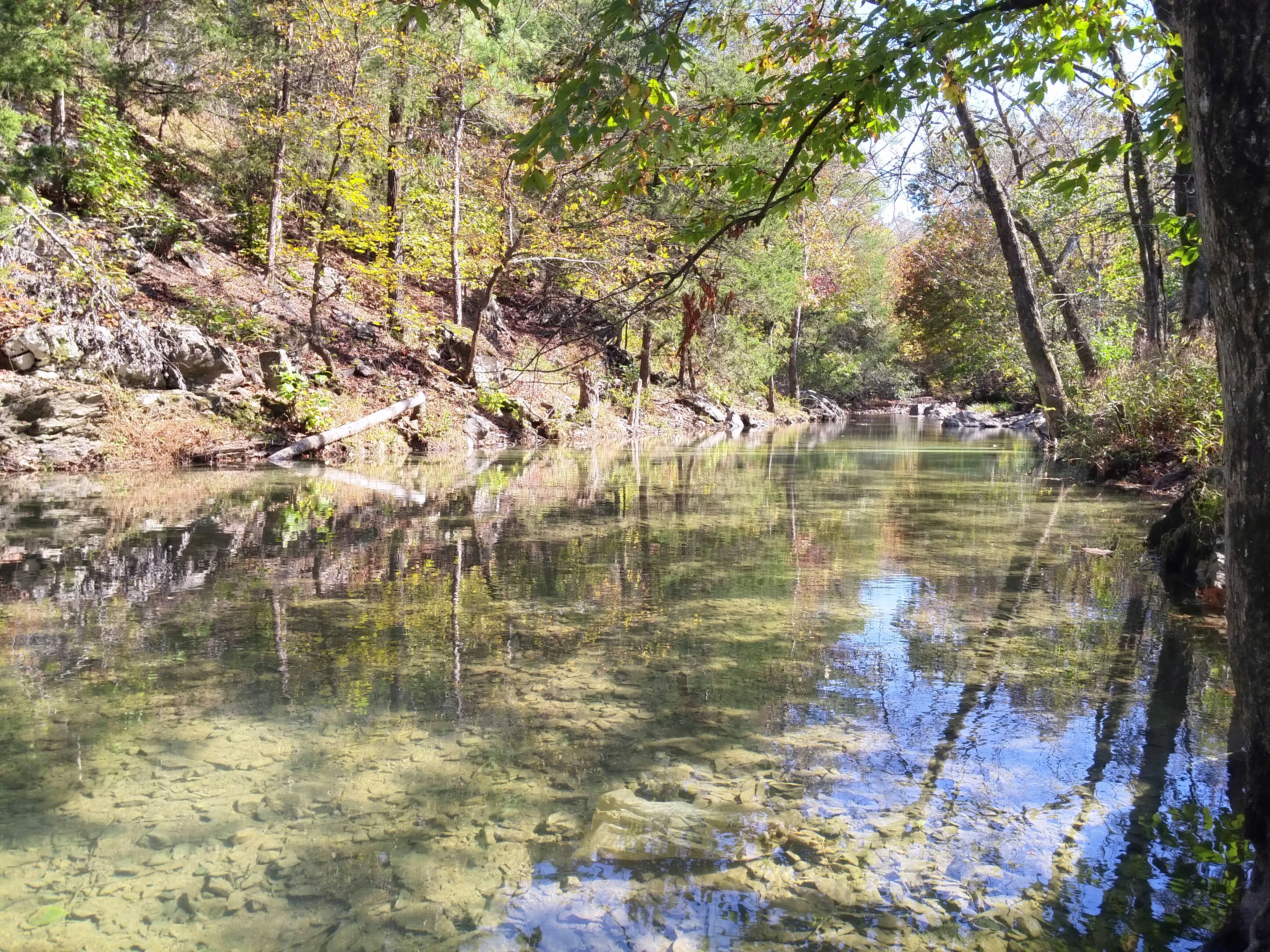
Irons Fork Creek

OT04Panorama04172010-151609

OT04Panorama04182010-103146
20141102_114842~01

More Arkansas driving

On my way home I got one more stamp for my @ahpppassports --Lum & Abner's Jot 'em Diwn Store in Pine Ridge, AR #50for50 #authenticarkansas #nhpa #preservation

Polk County (AR) 70

Polk County (AR) 67

Polk County (AR) 685

Polk County (AR) 681

Polk County (AR) 63

Polk County (AR) 670

Polk County (AR) 68

Polk County (AR) 74

Polk County (AR) 655

Polk County (AR) 73

Polk County (AR) 192

Polk County (AR) 182

Polk County (AR) 654

Polk County (AR) 87

Big Fork Creek- West Approach

Big Fork Creek-South Side
Topographic Map of Polk Rd 85, Mena, AR, USA
Find elevation by address:

Places near Polk Rd 85, Mena, AR, USA:
County Road 301
699 Polk Rd 301
5490 Ar-88
Old Waters Hwy, Oden, AR, USA
Mill Creek Township
County Rd 65, Mena, AR, USA
198 Medcalf Ln
Polk Rd 72, Mena, AR, USA
AR-8, Mena, AR, USA
Big Fork Township
AR-8, Mena, AR, USA
313 Heather Ln
378 Polk Rd 73
Fulton Township
Polk County
Polk Rd 56, Mena, AR, USA
2939 Ar-8
2826 Us-71
Mena Intermountain Mun Airport
1411 Ransom Rd
Recent Searches:
- Elevation of Vista Blvd, Sparks, NV, USA
- Elevation of 15th Ave SE, St. Petersburg, FL, USA
- Elevation of Beall Road, Beall Rd, Florida, USA
- Elevation of Leguwa, Nepal
- Elevation of County Rd, Enterprise, AL, USA
- Elevation of Kolchuginsky District, Vladimir Oblast, Russia
- Elevation of Shustino, Vladimir Oblast, Russia
- Elevation of Lampiasi St, Sarasota, FL, USA
- Elevation of Elwyn Dr, Roanoke Rapids, NC, USA
- Elevation of Congressional Dr, Stevensville, MD, USA