Elevation of Medcalf Ln, Mena, AR, USA
Location: United States > Arkansas > Polk County >
Longitude: -94.046832
Latitude: 34.598582
Elevation: 315m / 1033feet
Barometric Pressure: 98KPa
Elevation Map:
Satellite Map:
Related Photos:

ON THE CLIMB TO MENA

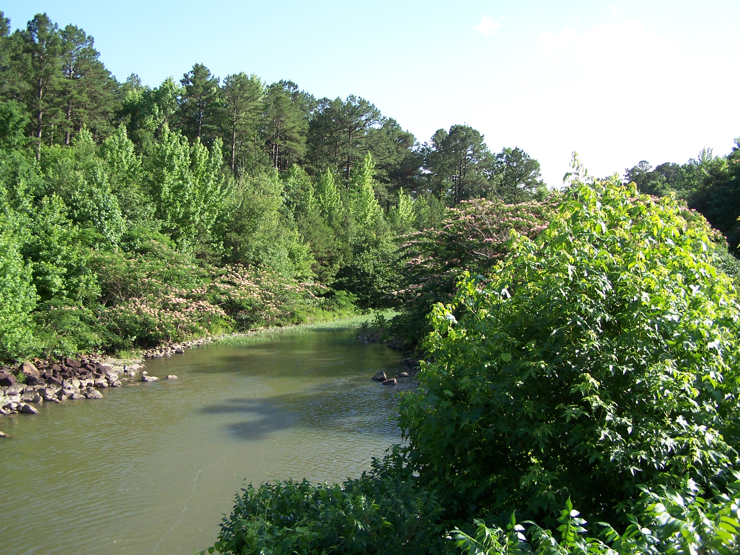
Big Fork Creek-Deck View

KCS 4191 | EMD SD70ACe | KCS Shreveport Subdivision

Stream Cut Bank

Blue Mountain

More Rock Than Water

Road To No Where

Irons Fork Lake

Ouachita Mountains

Irons Fork Lake
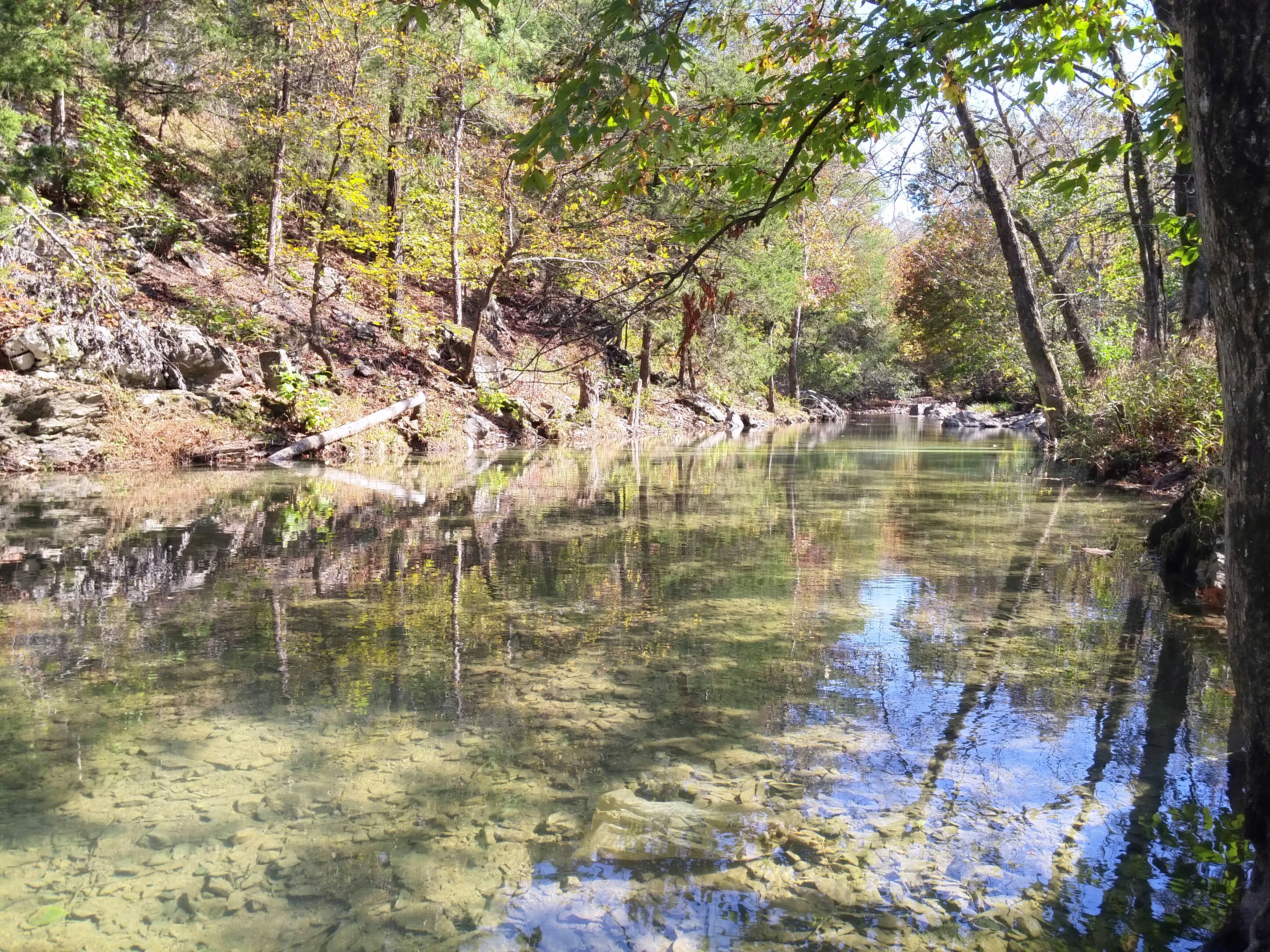
Irons Fork Creek

WOLF PEN GAP TRAILS

OT04Panorama04172010-151609

OT04Panorama04182010-103146
20141102_114842~01
Topographic Map of Medcalf Ln, Mena, AR, USA
Find elevation by address:

Places near Medcalf Ln, Mena, AR, USA:
Polk Rd 72, Mena, AR, USA
378 Polk Rd 73
AR-8, Mena, AR, USA
5490 Ar-88
County Rd 65, Mena, AR, USA
642 Polk Rd 85
Mill Creek Township
County Road 301
Fulton Township
699 Polk Rd 301
313 Heather Ln
Polk County
Polk Rd 56, Mena, AR, USA
AR-8, Mena, AR, USA
Old Waters Hwy, Oden, AR, USA
Big Fork Township
2939 Ar-8
2826 Us-71
Mena Intermountain Mun Airport
1411 Ransom Rd
Recent Searches:
- Elevation of 15th Ave SE, St. Petersburg, FL, USA
- Elevation of Beall Road, Beall Rd, Florida, USA
- Elevation of Leguwa, Nepal
- Elevation of County Rd, Enterprise, AL, USA
- Elevation of Kolchuginsky District, Vladimir Oblast, Russia
- Elevation of Shustino, Vladimir Oblast, Russia
- Elevation of Lampiasi St, Sarasota, FL, USA
- Elevation of Elwyn Dr, Roanoke Rapids, NC, USA
- Elevation of Congressional Dr, Stevensville, MD, USA
- Elevation of Bellview Rd, McLean, VA, USA