Elevation of AR-88, Mena, AR, USA
Location: United States > Arkansas > Polk County > Center Township > Mena >
Longitude: -93.970671
Latitude: 34.5822999
Elevation: 262m / 860feet
Barometric Pressure: 98KPa
Elevation Map:
Satellite Map:
Related Photos:

Driving through the Ouachita National Forest
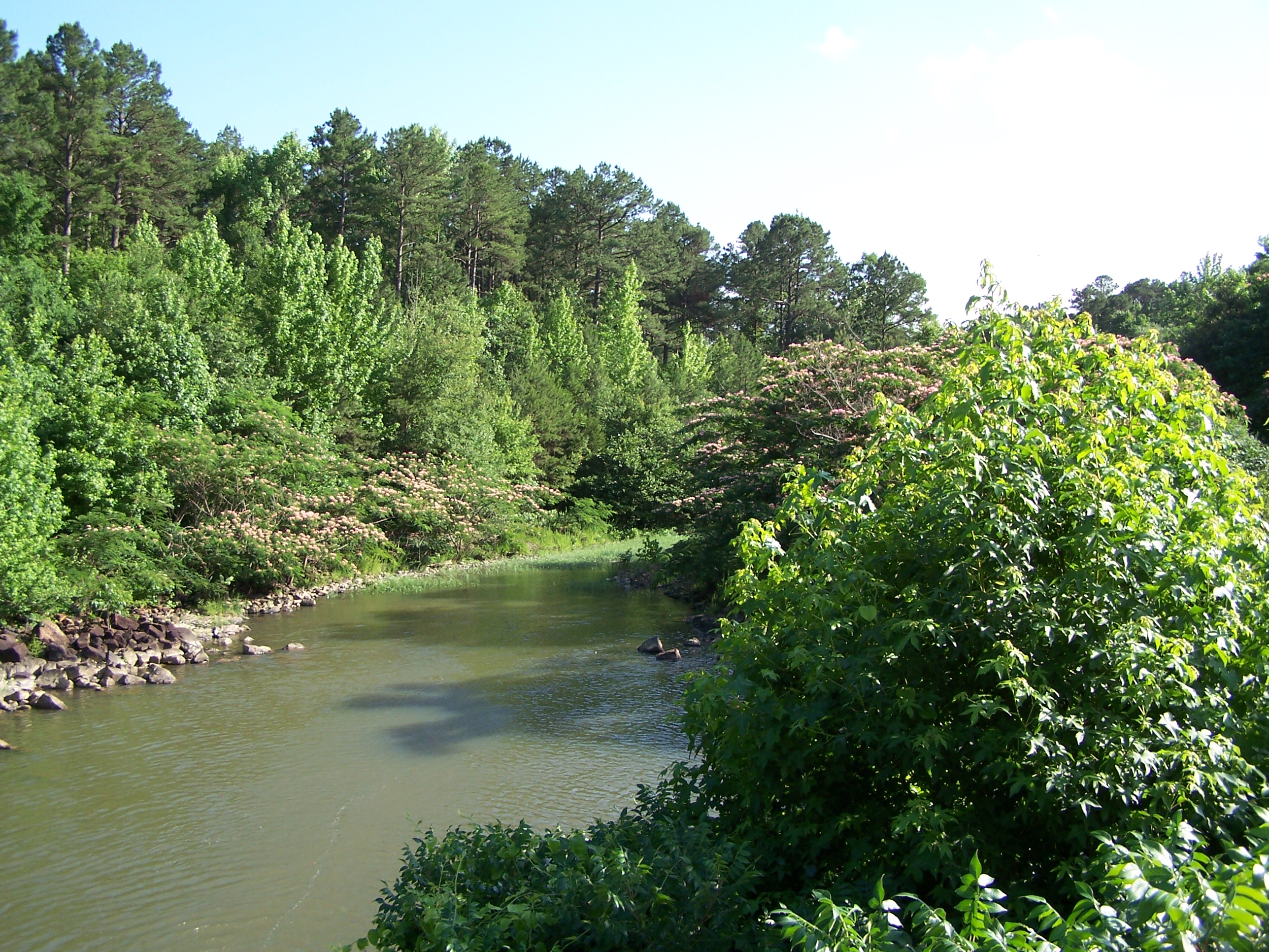
Big Fork Creek-Deck View
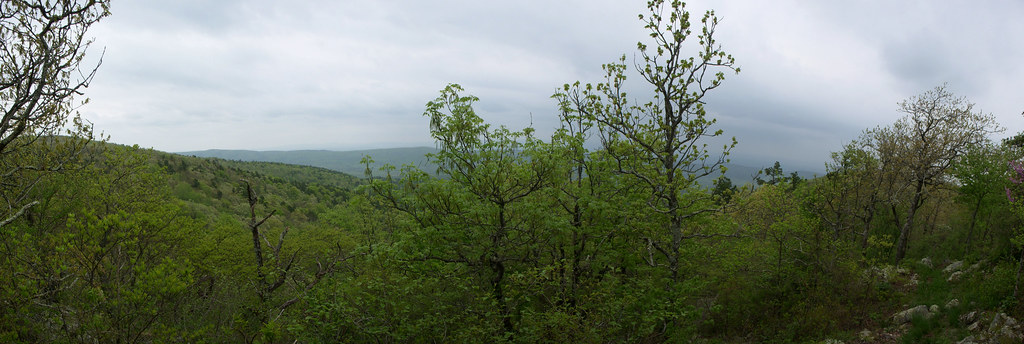
OT04Panorama04172010-151609
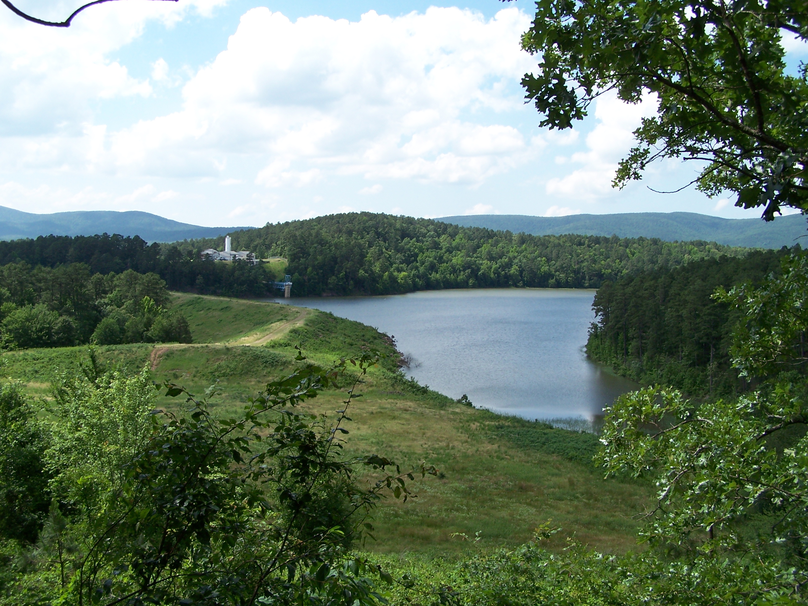
Irons Fork Lake
WOLF PEN GAP TRAILS
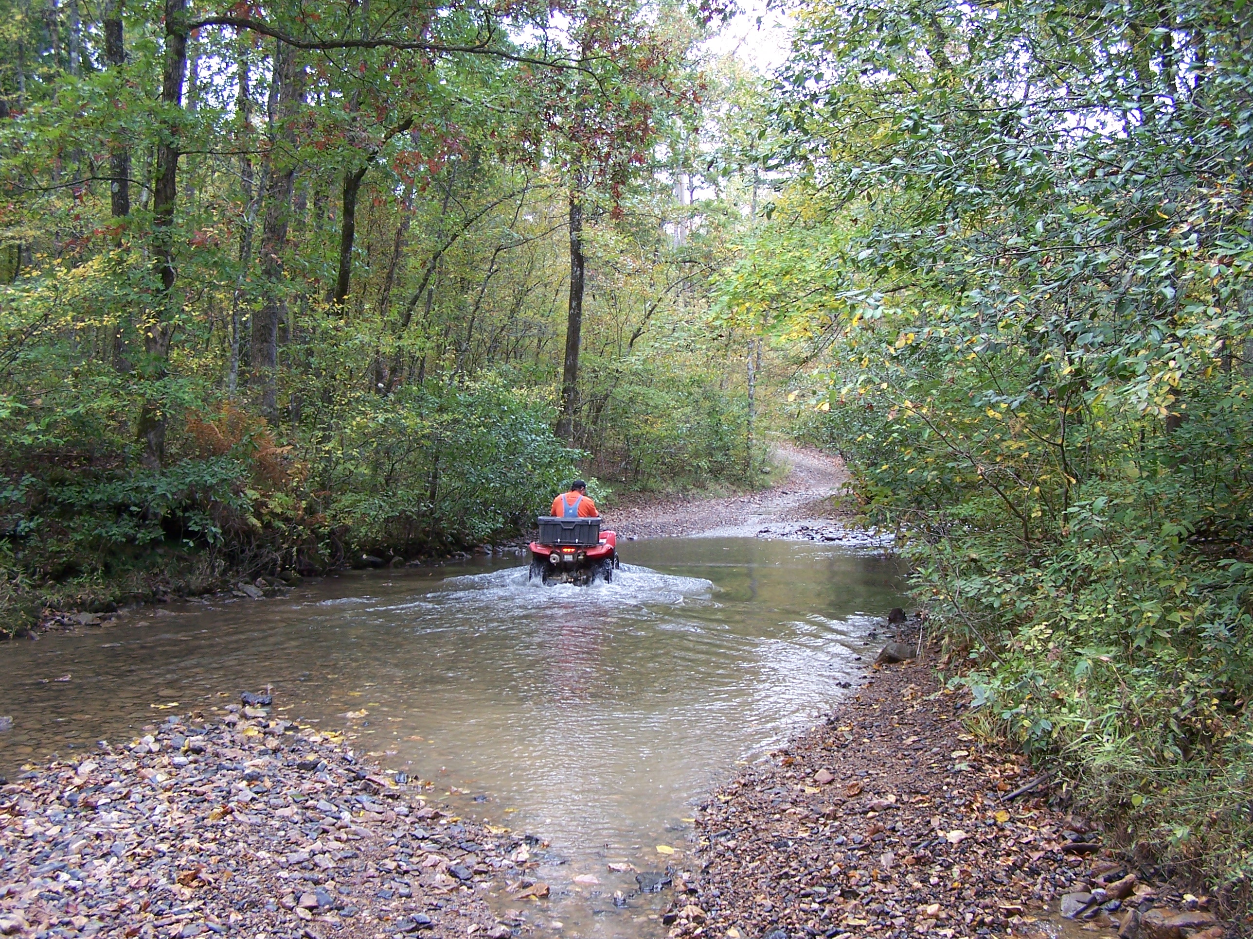
Irons Fork Creek
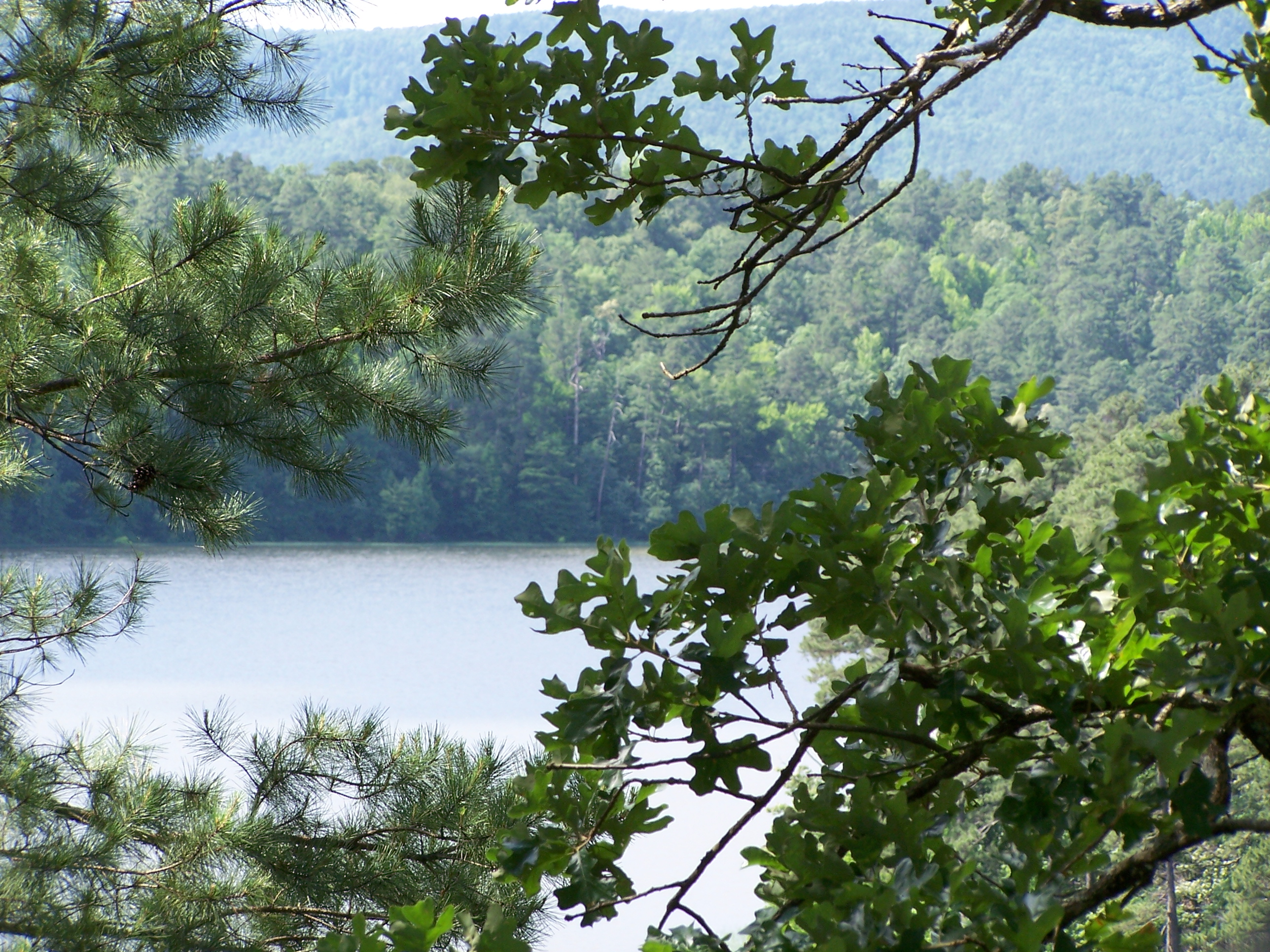
Irons Fork Lake

On my way home I got one more stamp for my @ahpppassports --Lum & Abner's Jot 'em Diwn Store in Pine Ridge, AR #50for50 #authenticarkansas #nhpa #preservation
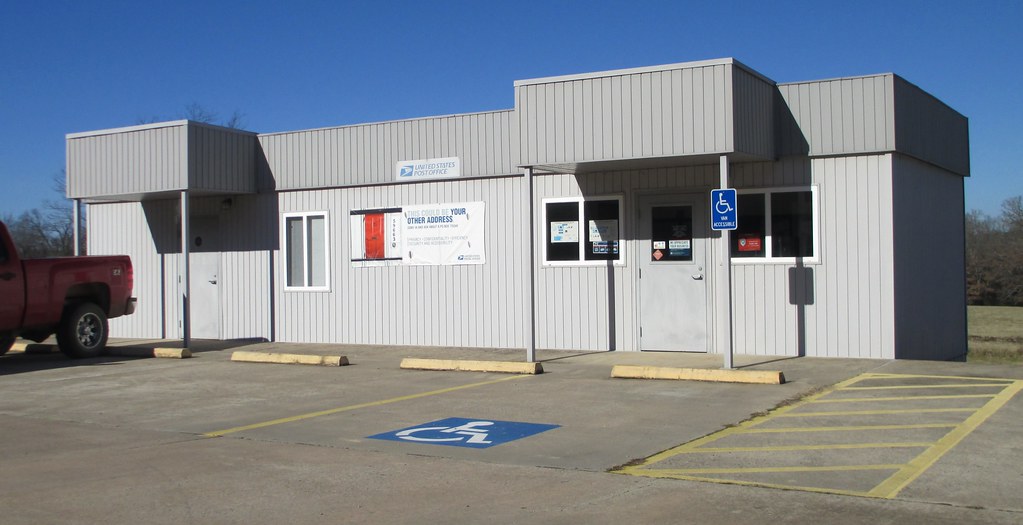
Post Office 71932 (Board Camp, Arkansas)

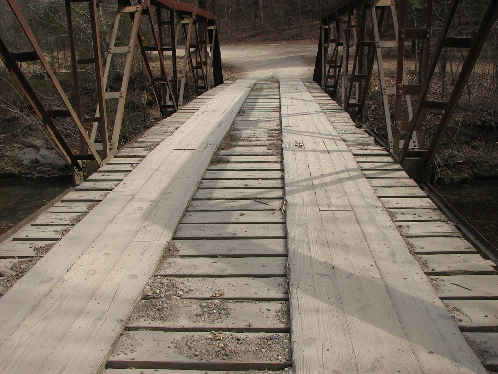
Big Fork Creek- West Approach
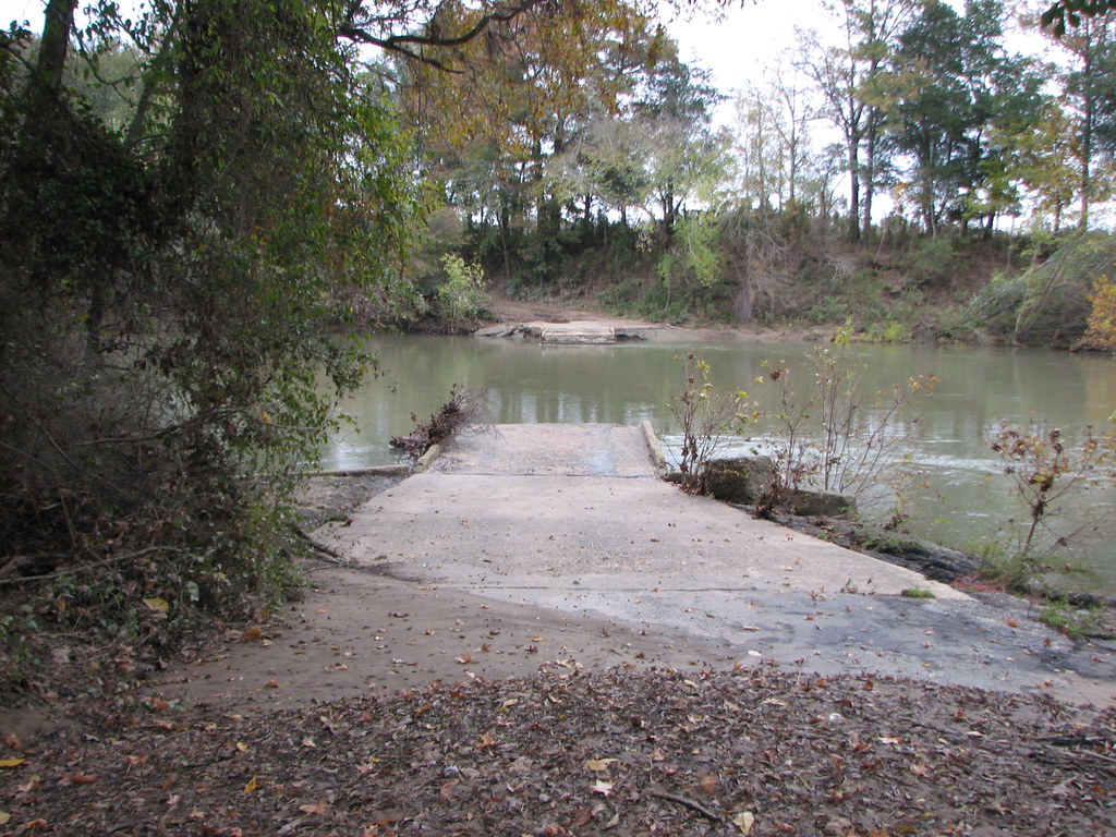
Old 270 Oden
PANO-1
PANO-2

Pano-3
Topographic Map of AR-88, Mena, AR, USA
Find elevation by address:

Places near AR-88, Mena, AR, USA:
642 Polk Rd 85
Mill Creek Township
County Road 301
699 Polk Rd 301
County Rd 65, Mena, AR, USA
Old Waters Hwy, Oden, AR, USA
198 Medcalf Ln
Polk Rd 72, Mena, AR, USA
AR-8, Mena, AR, USA
Big Fork Township
313 Heather Ln
AR-8, Mena, AR, USA
Fulton Township
378 Polk Rd 73
Polk County
Polk Rd 56, Mena, AR, USA
2939 Ar-8
2826 Us-71
Mena Intermountain Mun Airport
Center Township
Recent Searches:
- Elevation of Beall Road, Beall Rd, Florida, USA
- Elevation of Leguwa, Nepal
- Elevation of County Rd, Enterprise, AL, USA
- Elevation of Kolchuginsky District, Vladimir Oblast, Russia
- Elevation of Shustino, Vladimir Oblast, Russia
- Elevation of Lampiasi St, Sarasota, FL, USA
- Elevation of Elwyn Dr, Roanoke Rapids, NC, USA
- Elevation of Congressional Dr, Stevensville, MD, USA
- Elevation of Bellview Rd, McLean, VA, USA
- Elevation of Stage Island Rd, Chatham, MA, USA