Elevation of Fulton Township, AR, USA
Location: United States > Arkansas > Polk County >
Longitude: -94.089991
Latitude: 34.5067512
Elevation: 351m / 1152feet
Barometric Pressure: 97KPa
Elevation Map:
Satellite Map:
Related Photos:
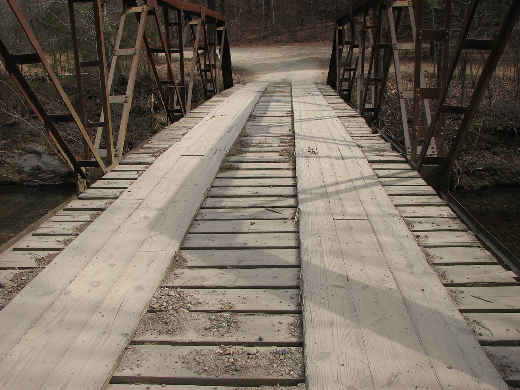
Big Fork Creek-Deck View
Lunch break
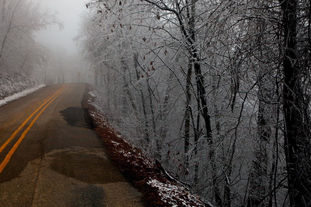
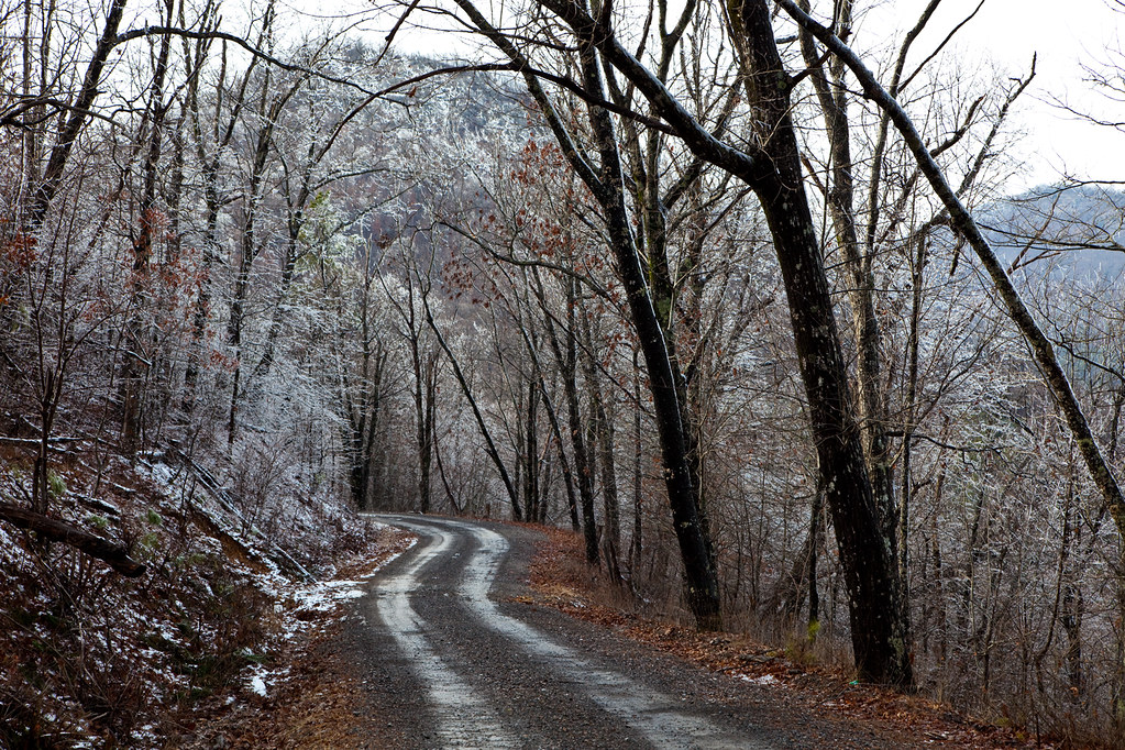
Ice Storm 2010 Wolf Pen Gap 3

Ice Storm 2010 WolfPenGap 2
Sugar Creek Vista
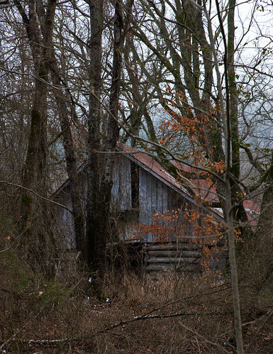
Barn Long Forgotten
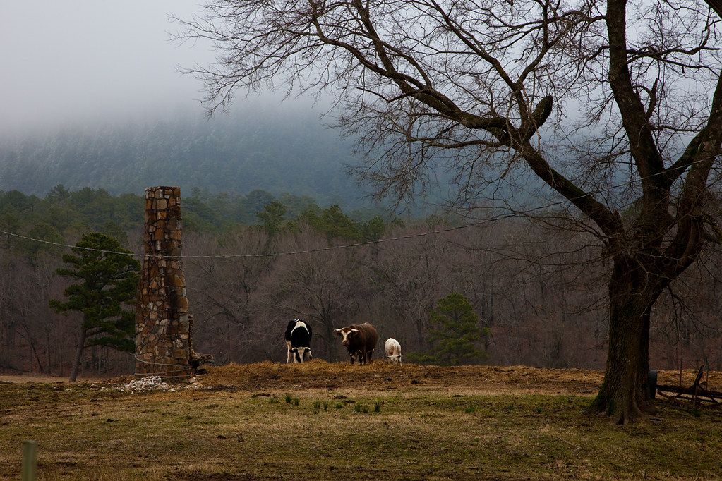
Cows in your Cabin
View Before Descent
Another View
View of CR64 Back to Car
Tall Mountain Road

Camp on Night Two
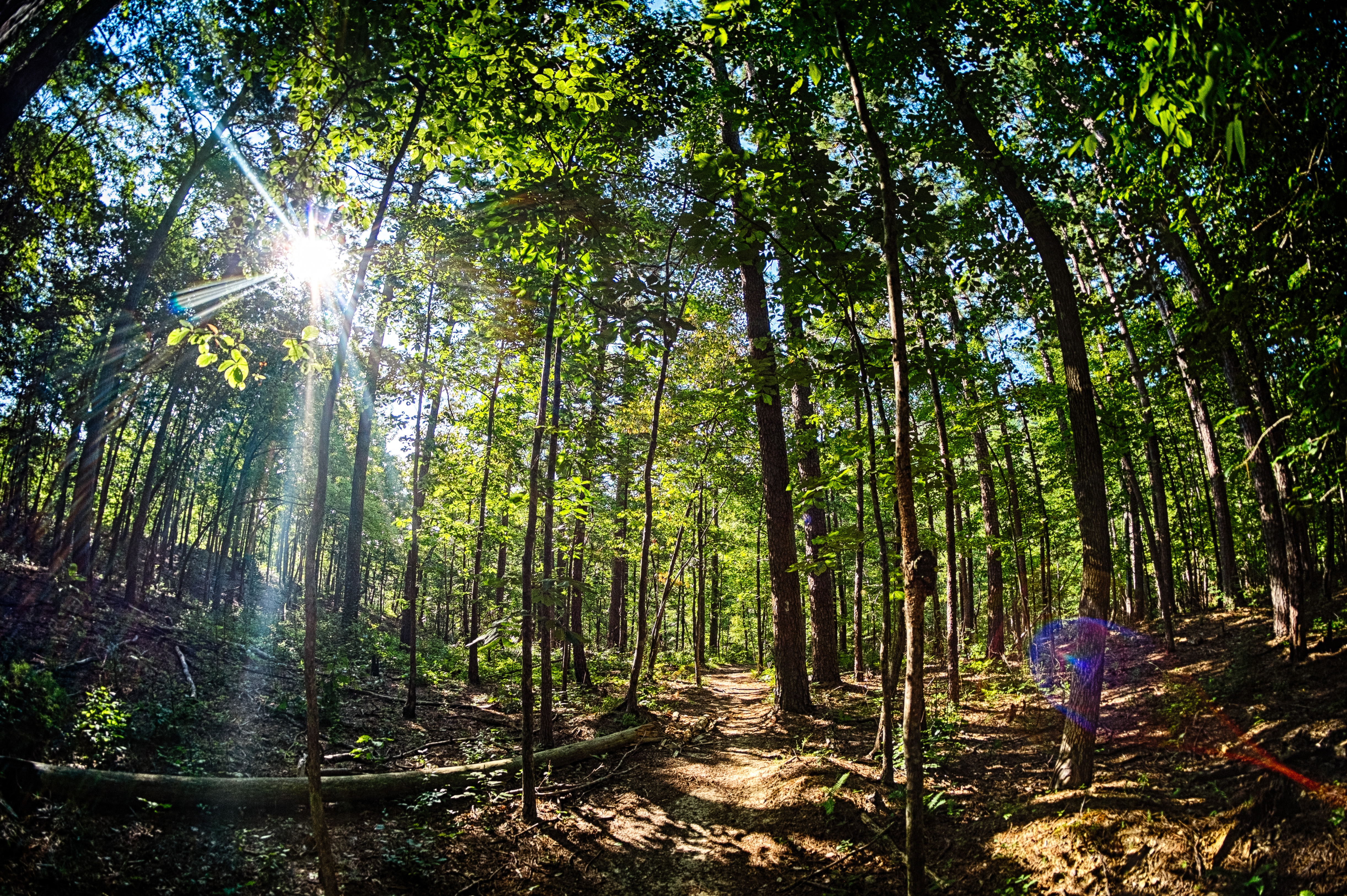
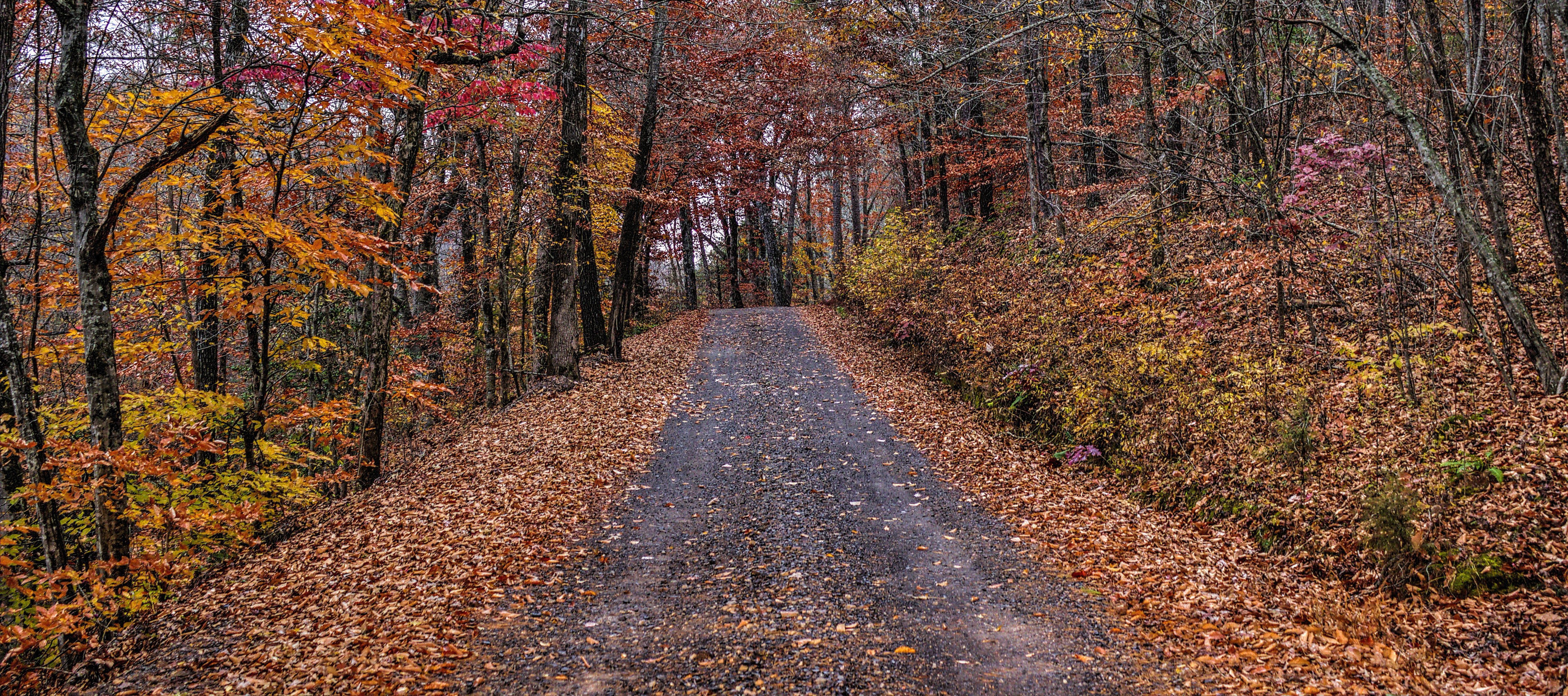
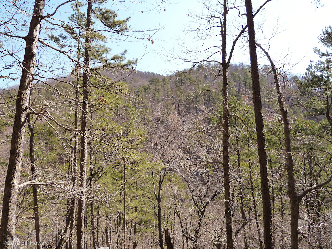
Forest View
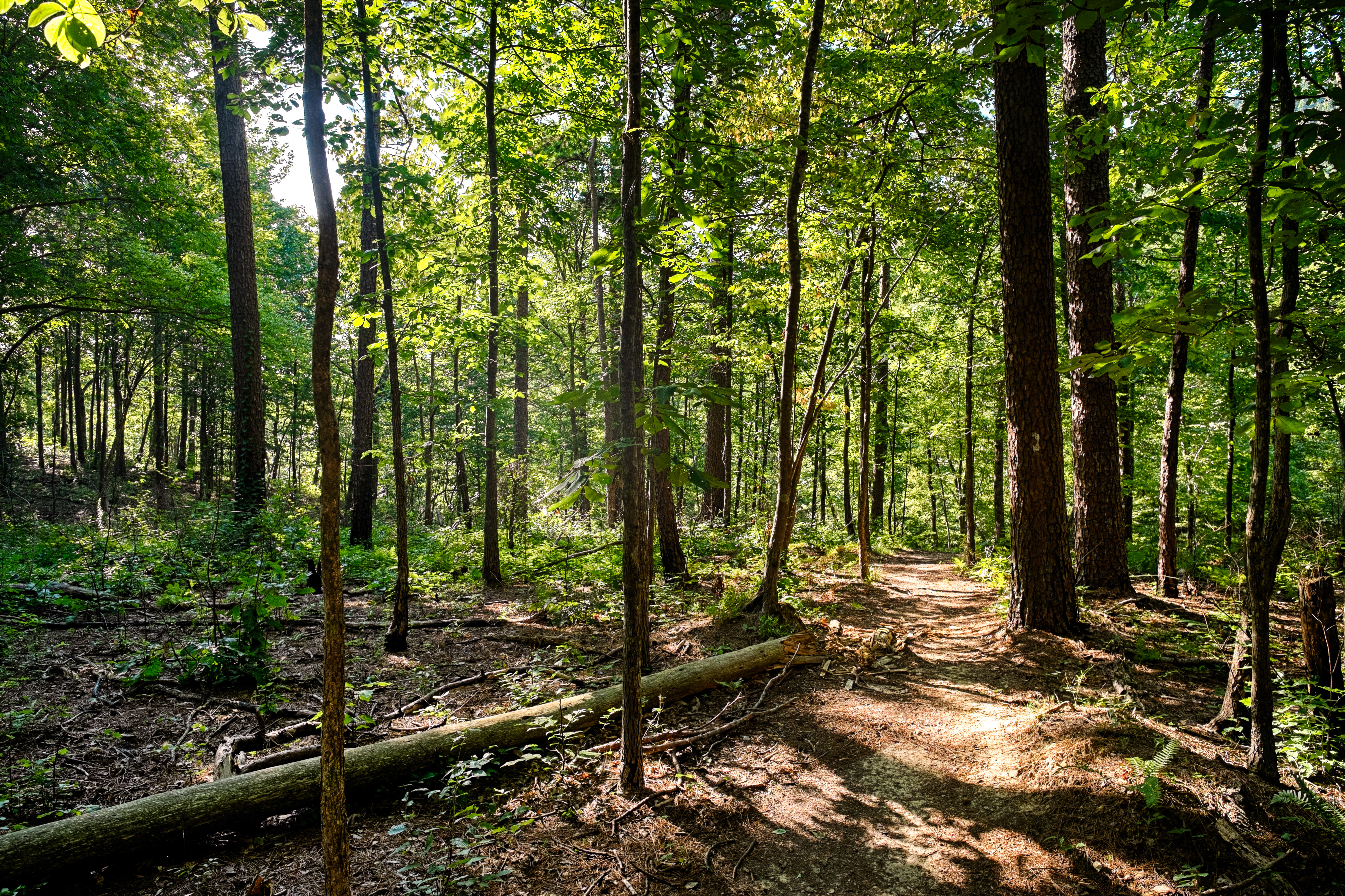
Forest View

Bard Springs Recreation Area and Campground
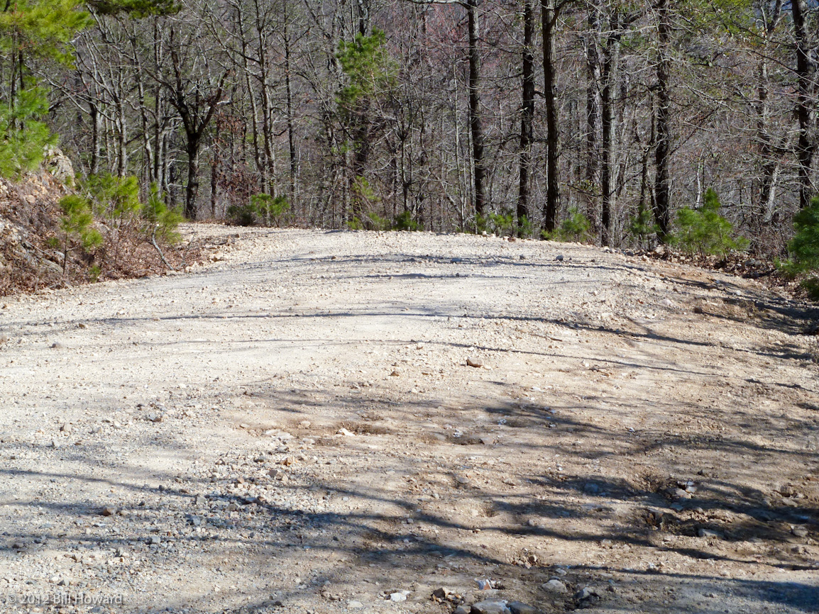
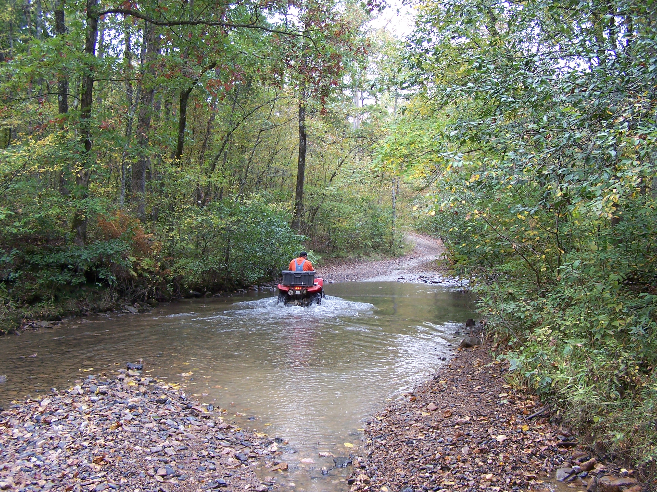
Road To No Where

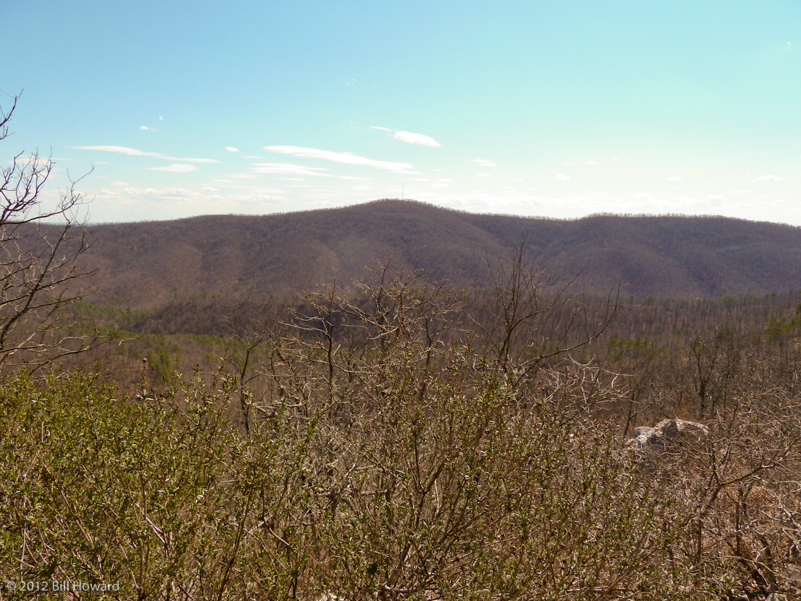
West Hanna Mountain with the Caney Creek Wilderness area in forground
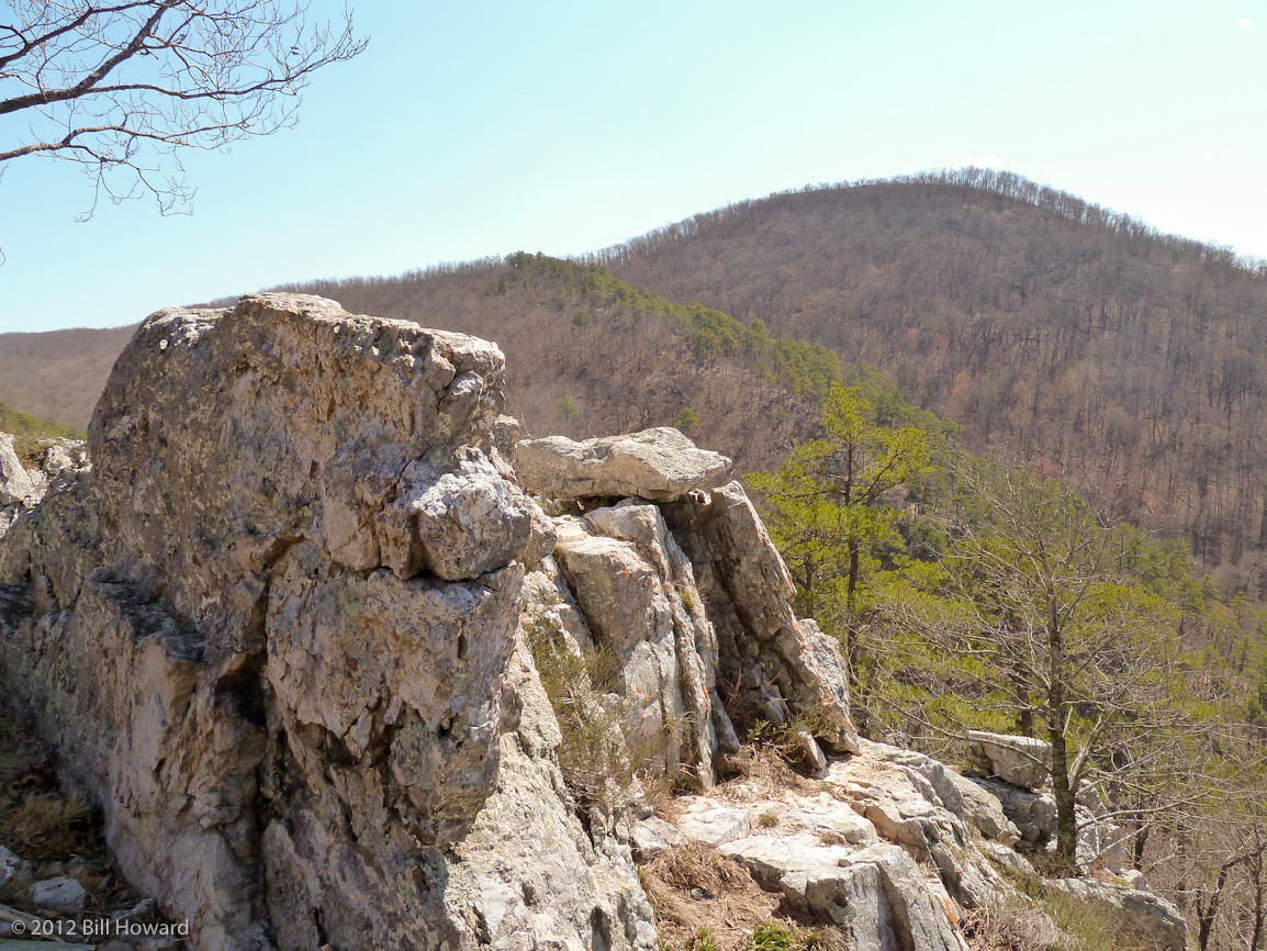
Rocky ledges all along the Buckeye
Buckeye Ridge

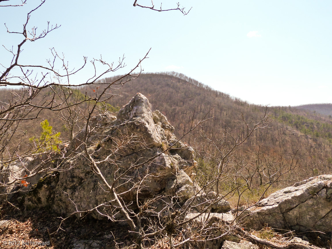
A Peak Through one of the Rock ledges.

Evening in the woods
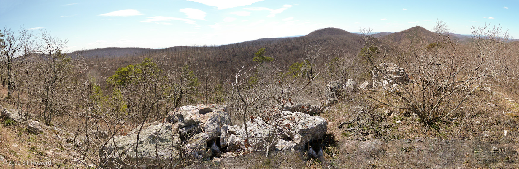
Panaroma Made from collection of photos
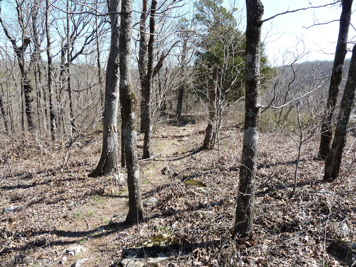
First part of Buckeye trail
Continuation of Panorama
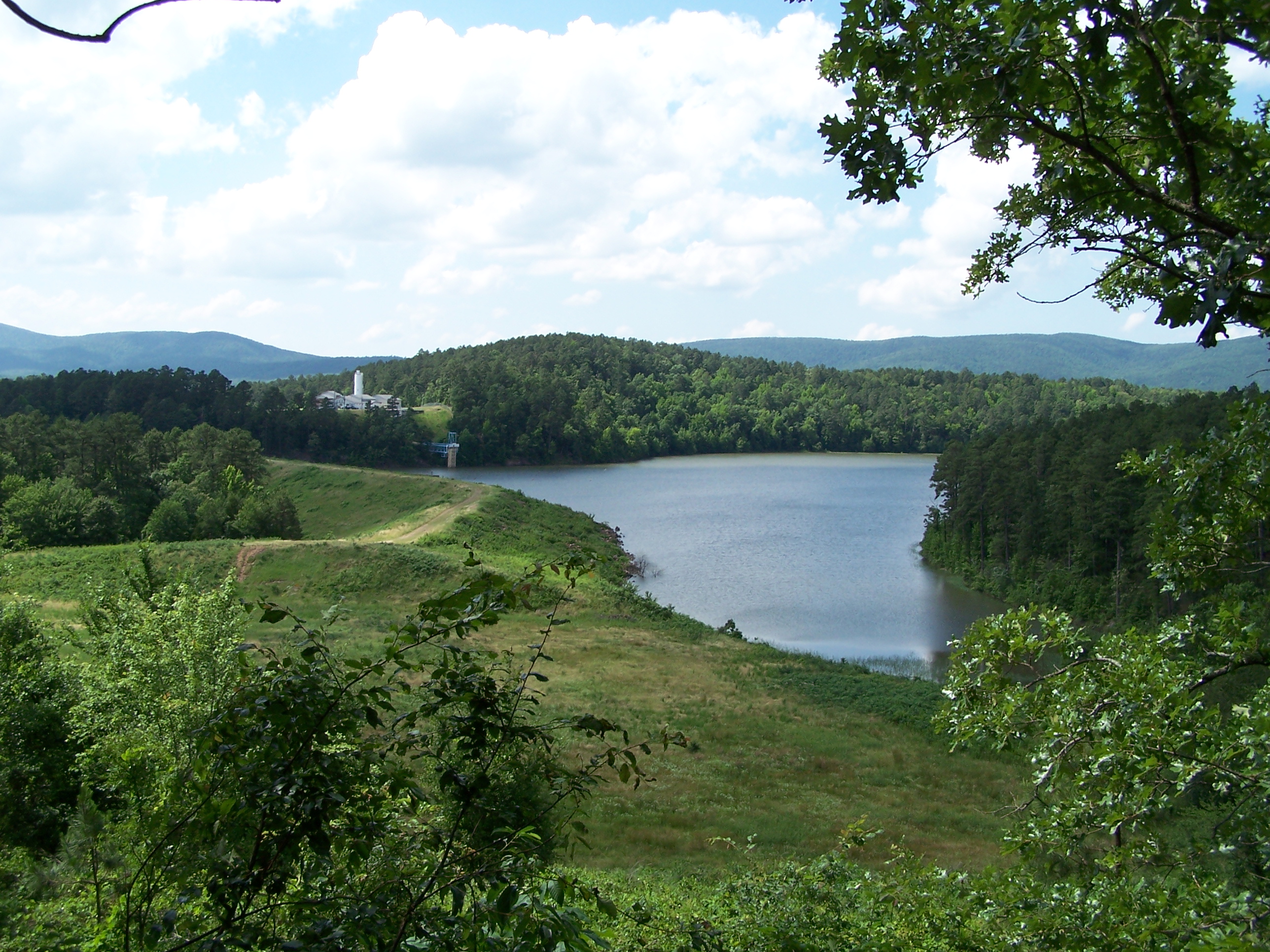
Irons Fork Lake
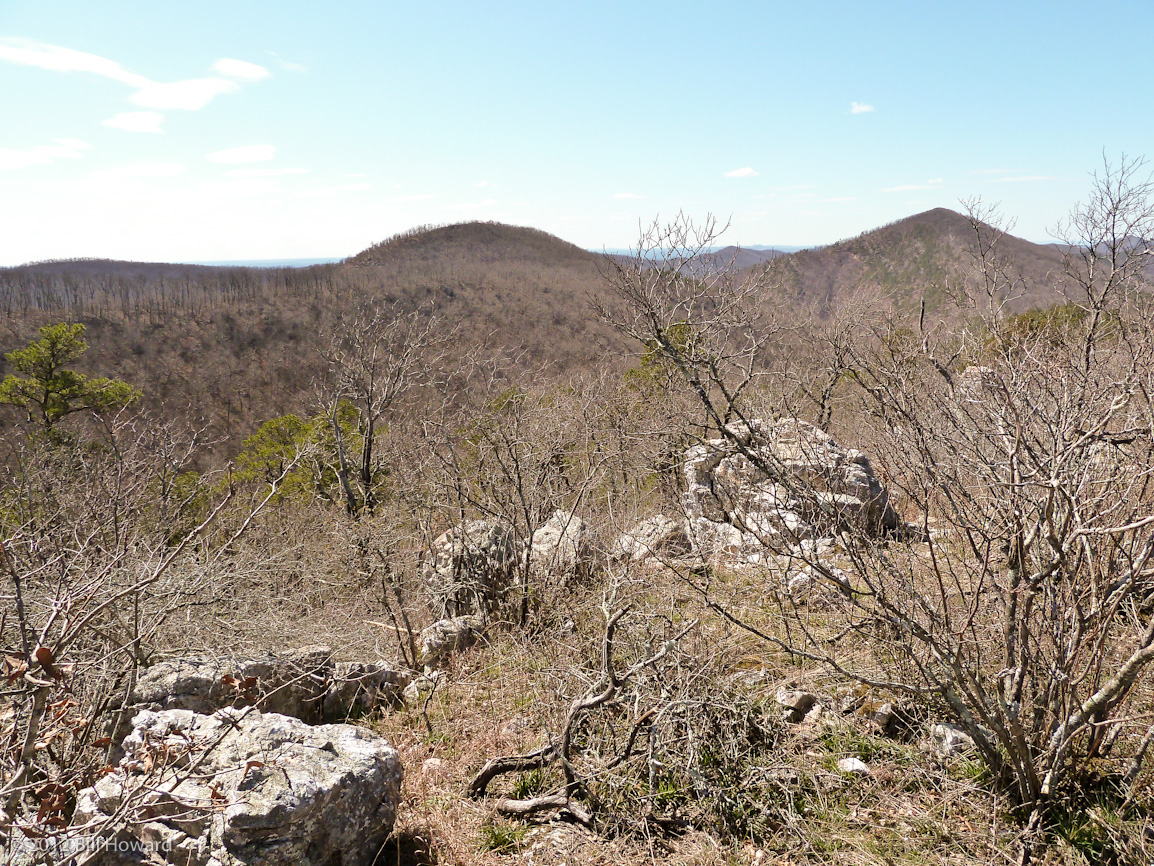
Rugged Hills at the Top of Buckeye Mountain
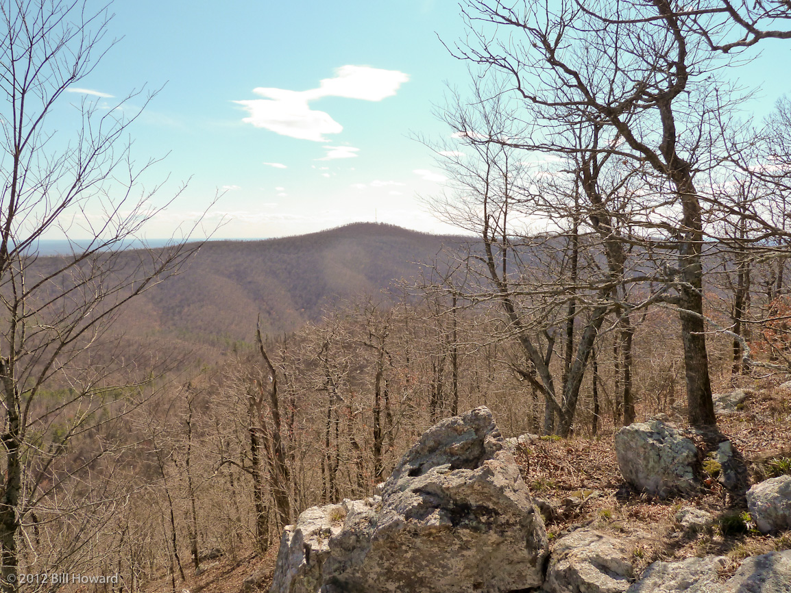
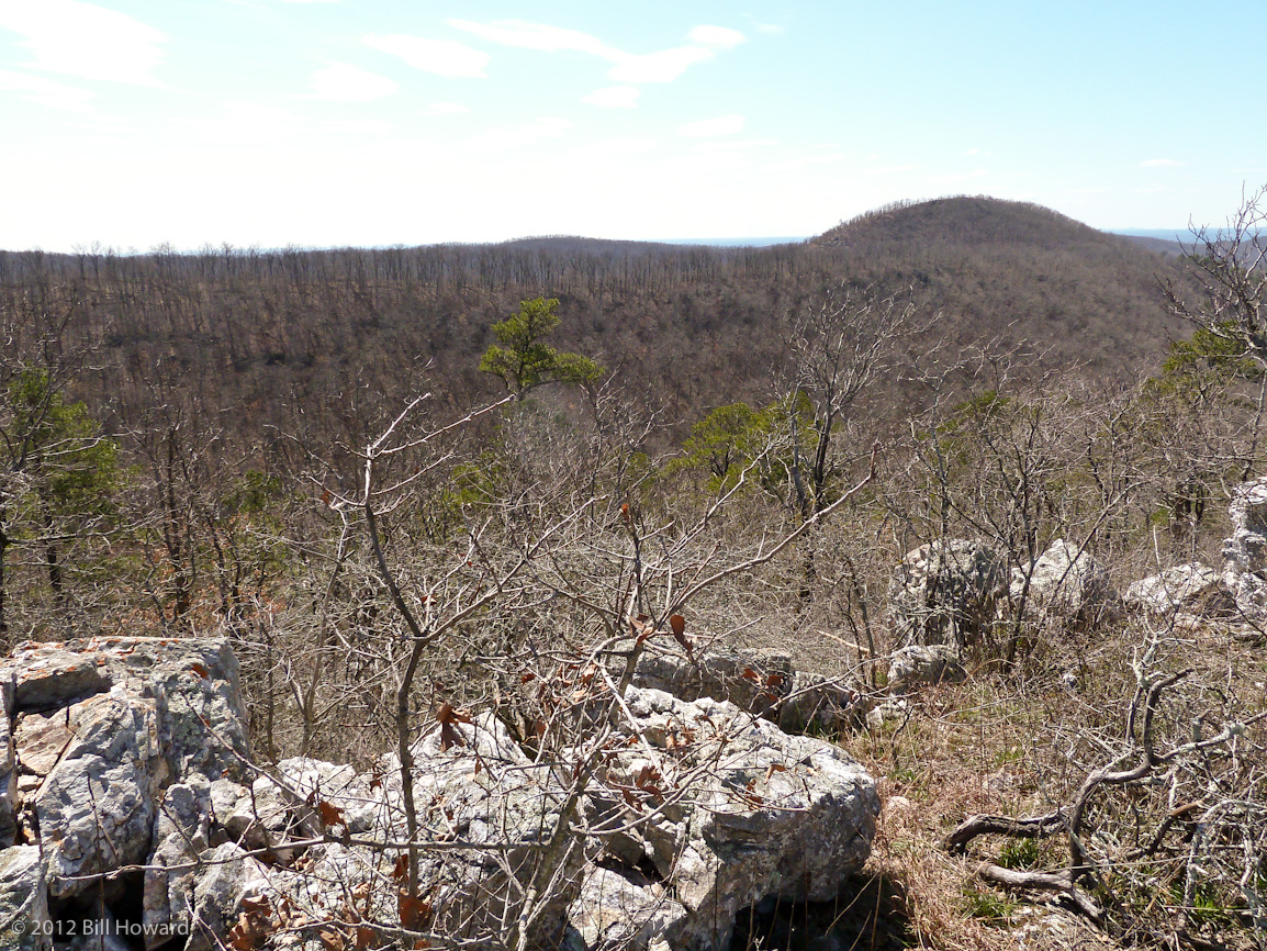
Beautiful Vista
WOLF PEN GAP TRAILS
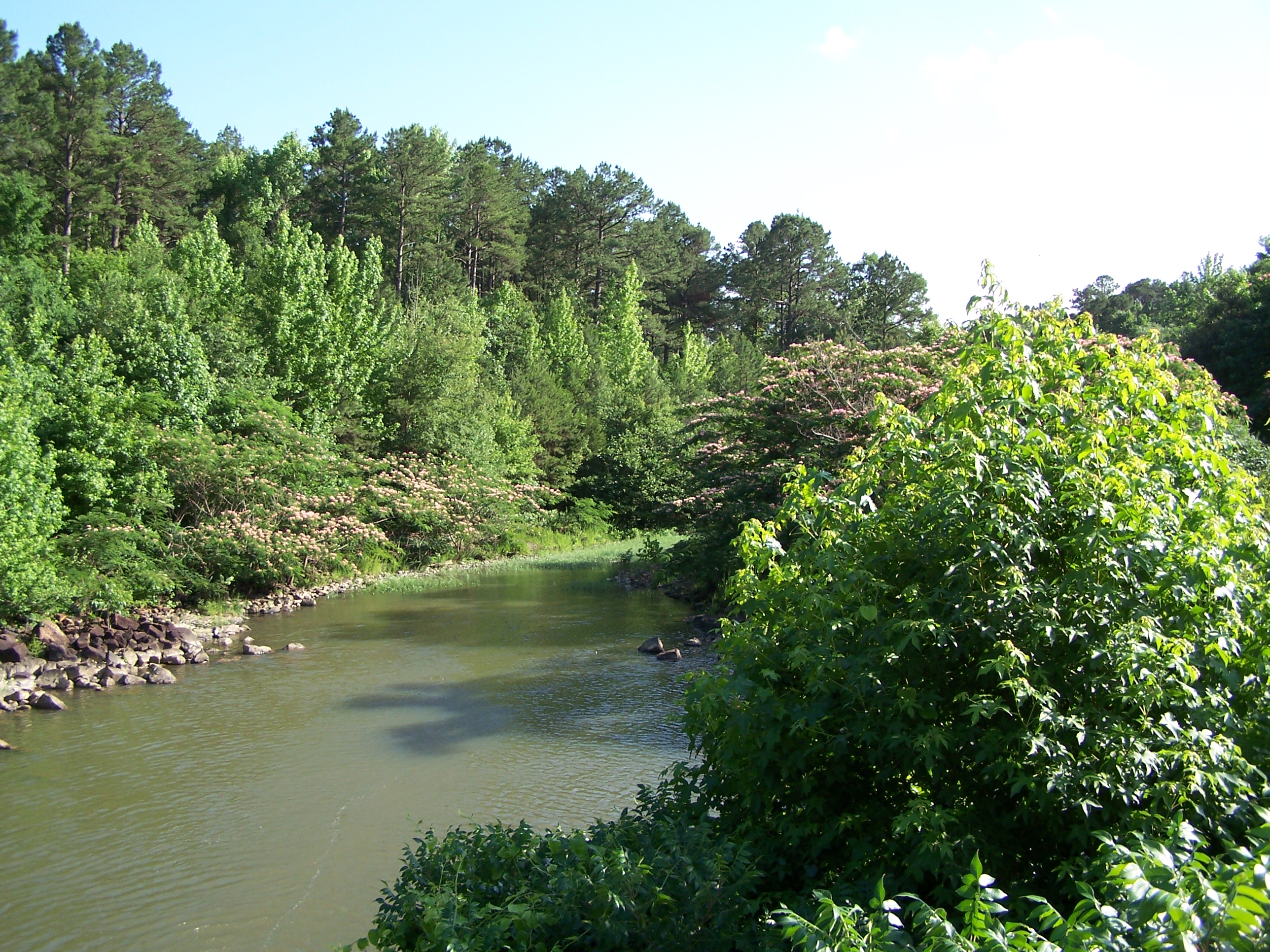
Irons Fork Creek
Continuation of Panorama
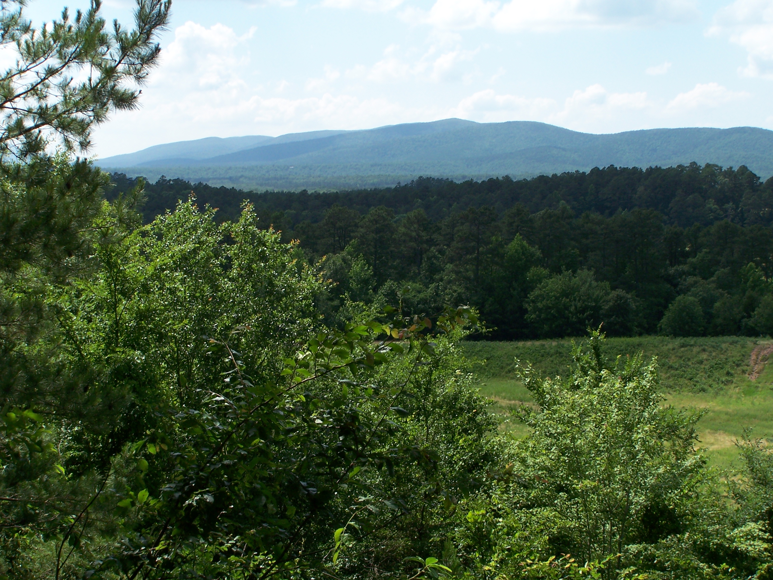
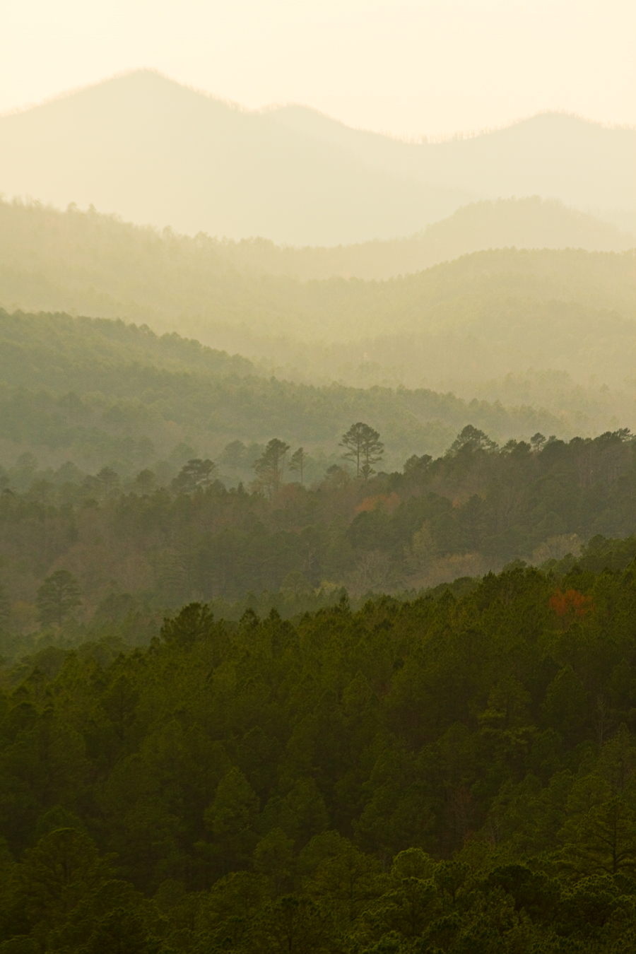
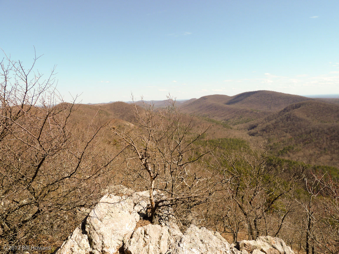
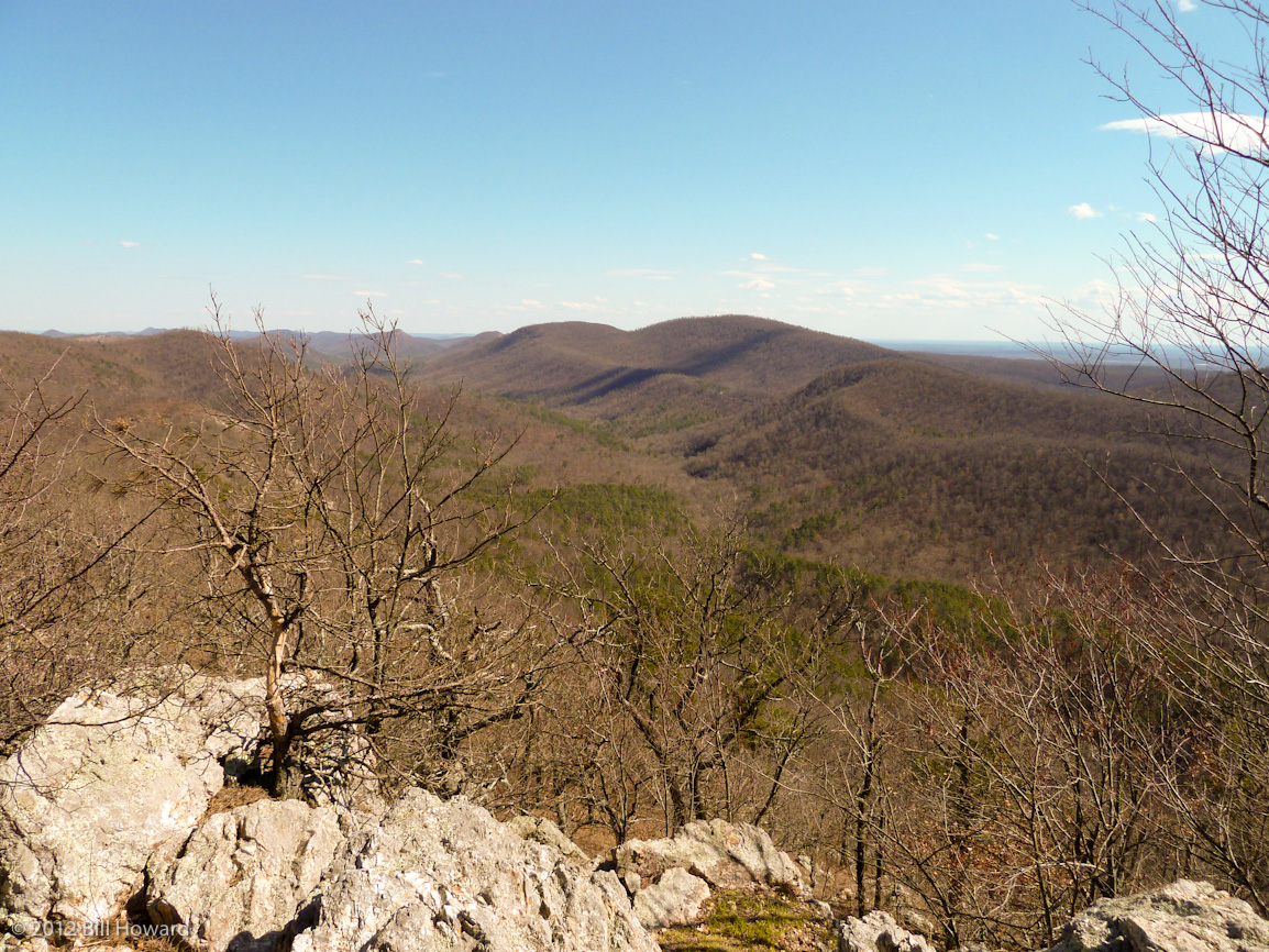
Ouachita Mountains
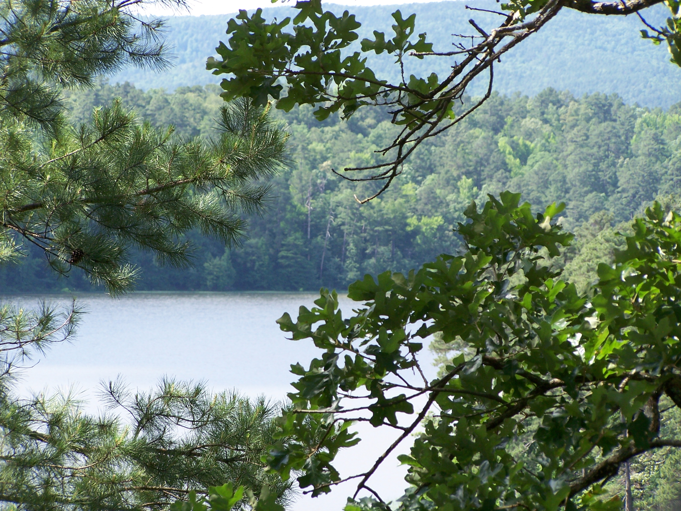
Irons Fork Lake

6.42km from Shady, Arkansas
Topographic Map of Fulton Township, AR, USA
Find elevation by address:

Places in Fulton Township, AR, USA:
Places near Fulton Township, AR, USA:
313 Heather Ln
AR-8, Mena, AR, USA
Polk County
Polk Rd 56, Mena, AR, USA
Polk Rd 72, Mena, AR, USA
198 Medcalf Ln
378 Polk Rd 73
County Rd 65, Mena, AR, USA
2939 Ar-8
Mill Creek Township
AR-8, Mena, AR, USA
Mena Intermountain Mun Airport
Big Fork Township
Center Township
AR-, Mena, AR, USA
5490 Ar-88
1411 Ransom Rd
2826 Us-71
642 Polk Rd 85
County Road 301
Recent Searches:
- Elevation of 62 Abbey St, Marshfield, MA, USA
- Elevation of Fernwood, Bradenton, FL, USA
- Elevation of Felindre, Swansea SA5 7LU, UK
- Elevation of Leyte Industrial Development Estate, Isabel, Leyte, Philippines
- Elevation of W Granada St, Tampa, FL, USA
- Elevation of Pykes Down, Ivybridge PL21 0BY, UK
- Elevation of Jalan Senandin, Lutong, Miri, Sarawak, Malaysia
- Elevation of Bilohirs'k
- Elevation of 30 Oak Lawn Dr, Barkhamsted, CT, USA
- Elevation of Luther Road, Luther Rd, Auburn, CA, USA