Elevation of Polk Rd 72, Mena, AR, USA
Location: United States > Arkansas > Polk County >
Longitude: -94.053448
Latitude: 34.587107
Elevation: 285m / 935feet
Barometric Pressure: 98KPa
Elevation Map:
Satellite Map:
Related Photos:
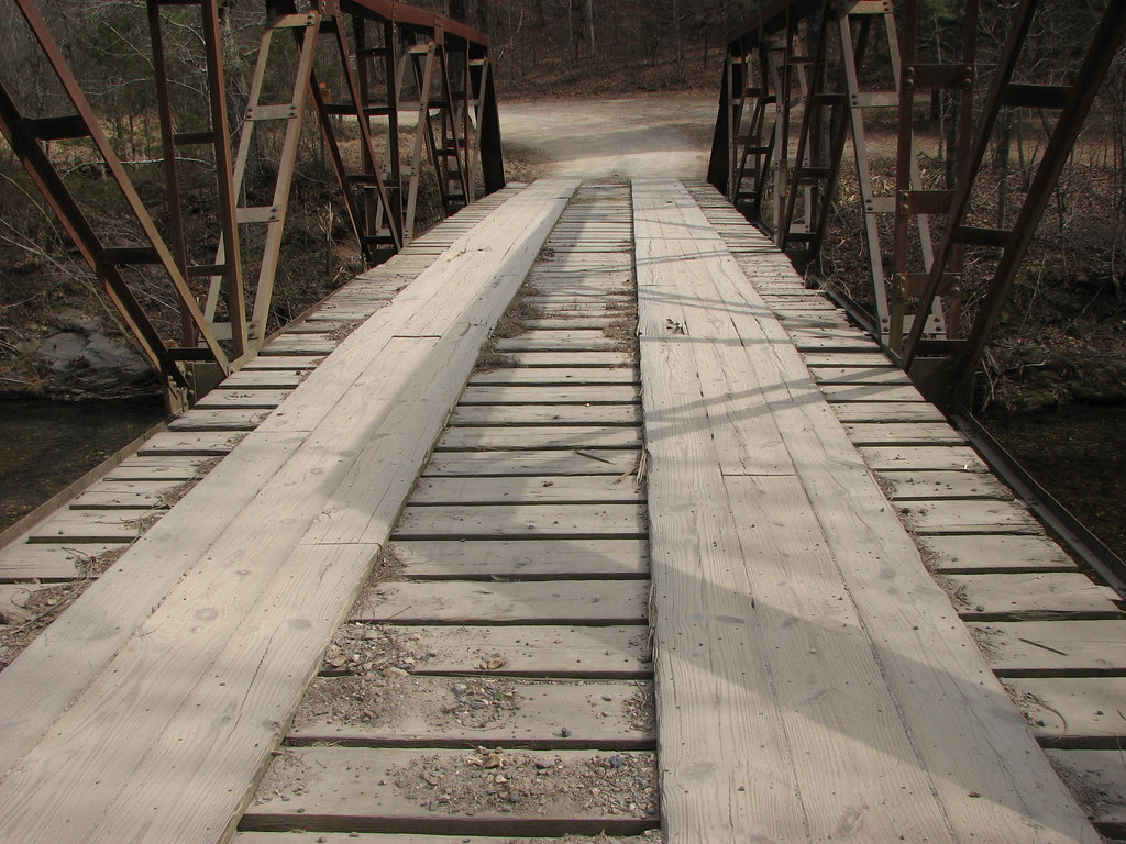
Big Fork Creek-Deck View
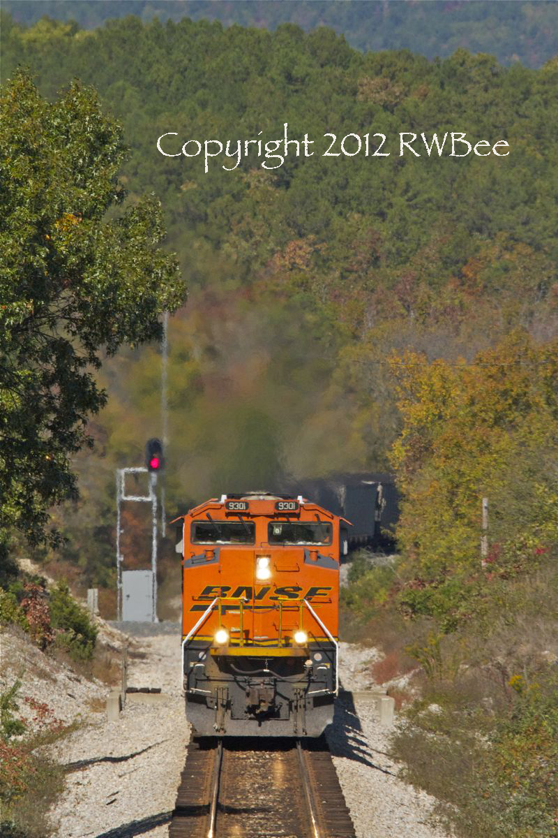
ON THE CLIMB TO MENA

Lum and Abner Museum

Ice Storm 2010 Wolf Pen Gap 3

Ice Storm 2010 WolfPenGap 2

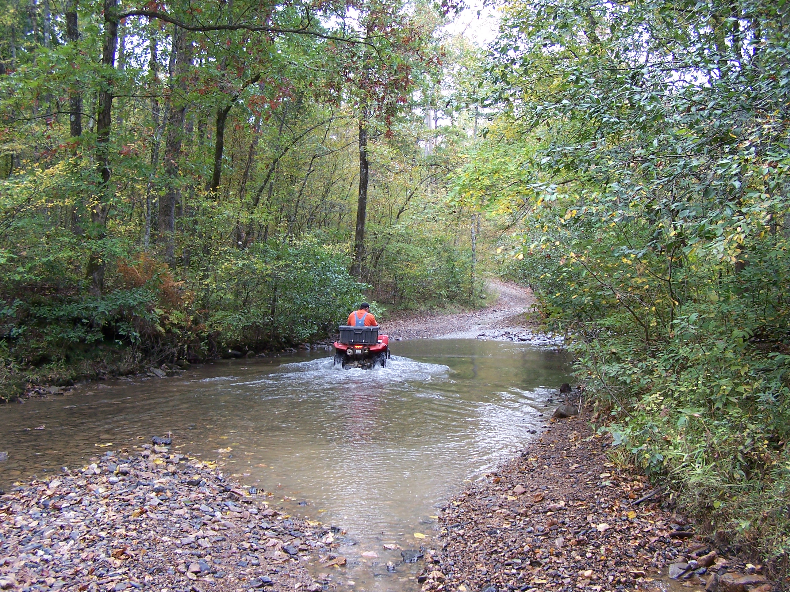
Road To No Where
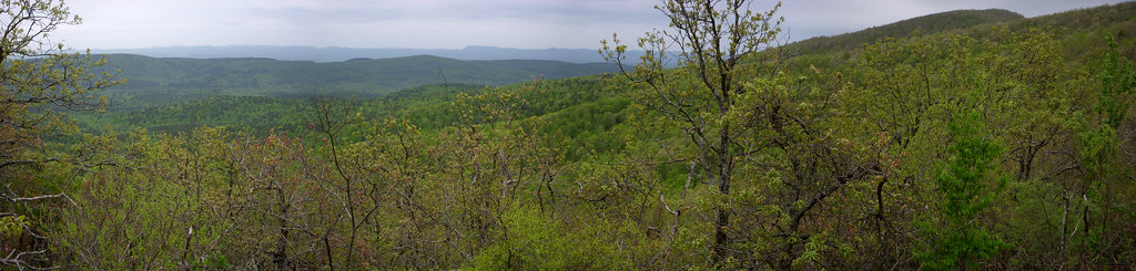
OT04Panorama04182010-103146
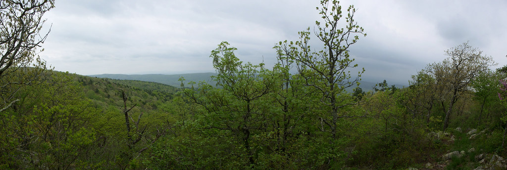
OT04Panorama04172010-151609
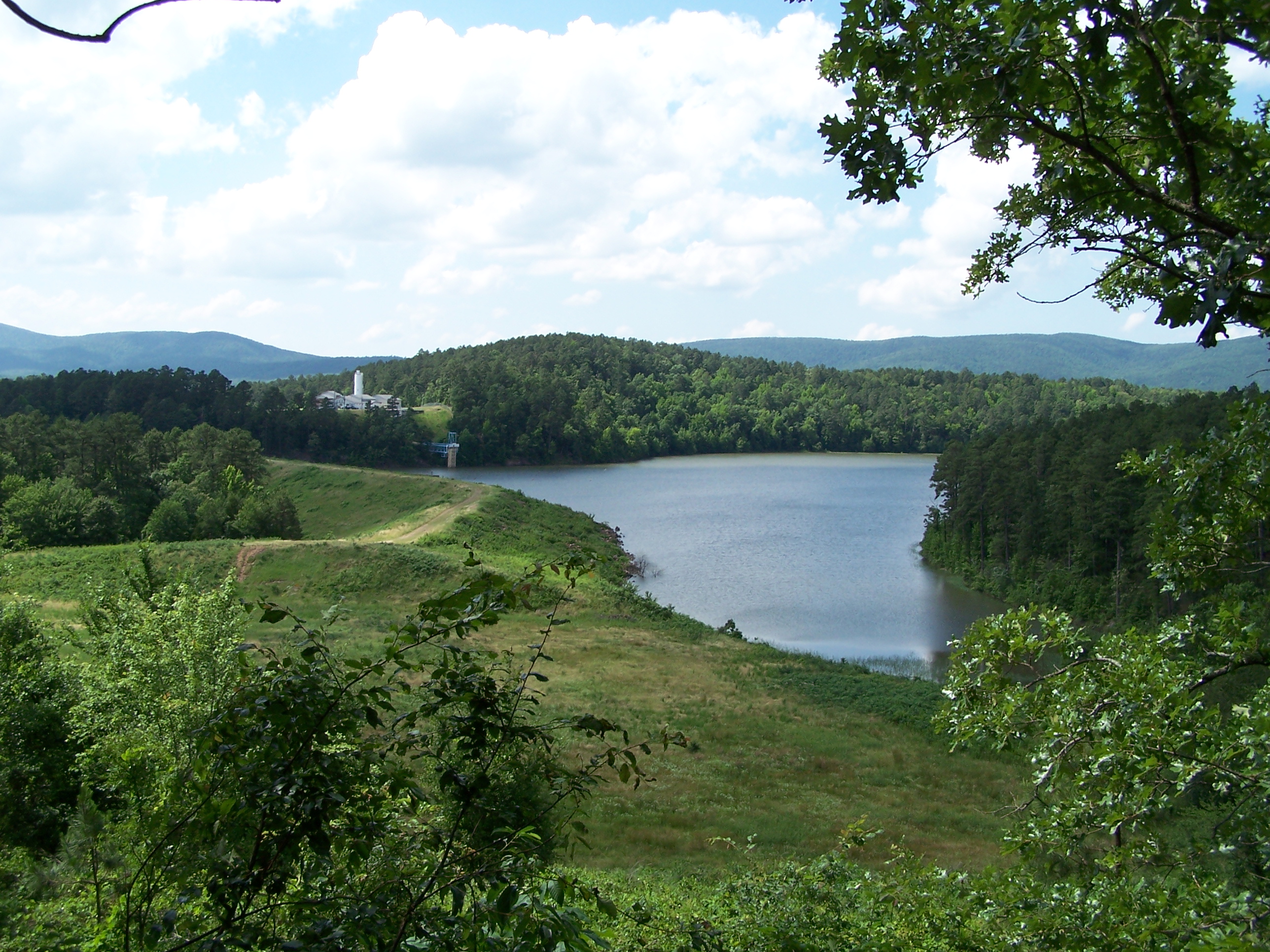
Irons Fork Lake
WOLF PEN GAP TRAILS
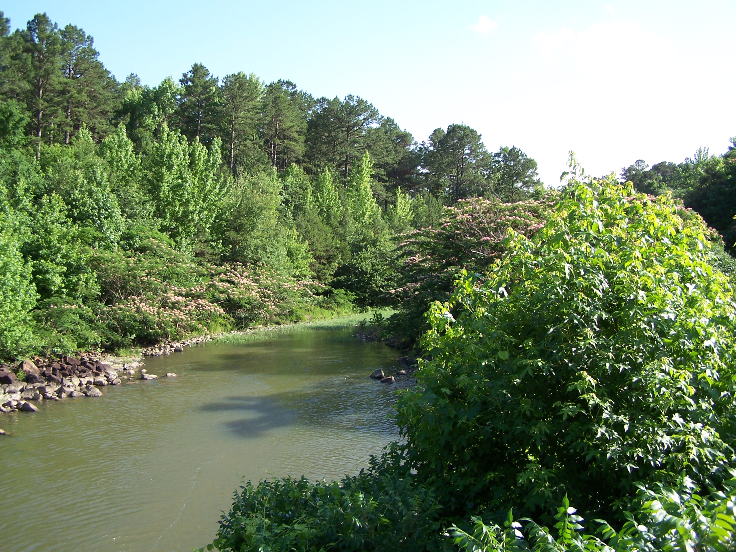
Irons Fork Creek
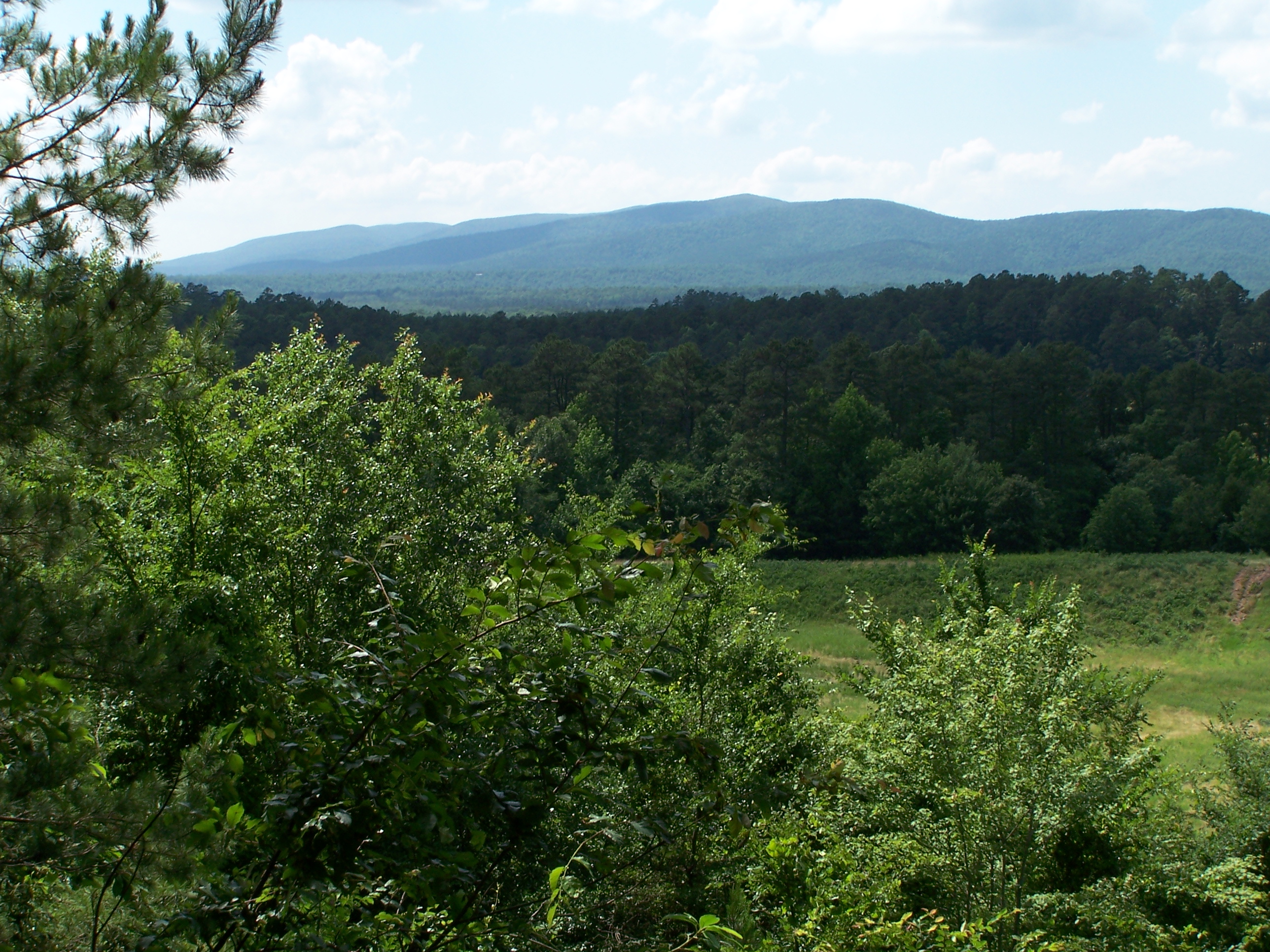
Ouachita Mountains
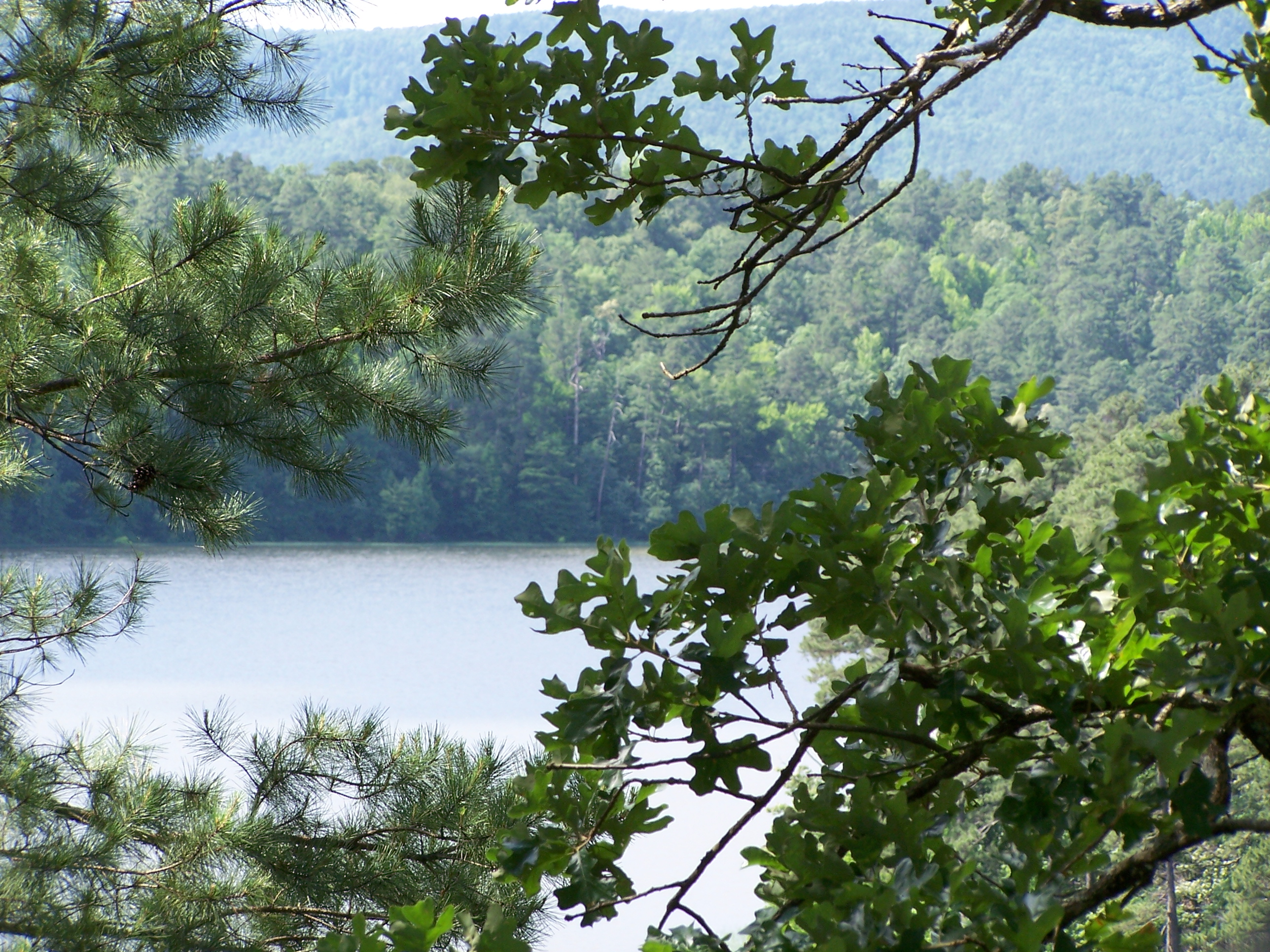
Irons Fork Lake
Topographic Map of Polk Rd 72, Mena, AR, USA
Find elevation by address:

Places near Polk Rd 72, Mena, AR, USA:
198 Medcalf Ln
AR-8, Mena, AR, USA
378 Polk Rd 73
County Rd 65, Mena, AR, USA
5490 Ar-88
Mill Creek Township
Fulton Township
313 Heather Ln
642 Polk Rd 85
County Road 301
699 Polk Rd 301
Polk County
Polk Rd 56, Mena, AR, USA
AR-8, Mena, AR, USA
Old Waters Hwy, Oden, AR, USA
2939 Ar-8
Big Fork Township
2826 Us-71
Mena Intermountain Mun Airport
1411 Ransom Rd
Recent Searches:
- Elevation of Beall Road, Beall Rd, Florida, USA
- Elevation of Leguwa, Nepal
- Elevation of County Rd, Enterprise, AL, USA
- Elevation of Kolchuginsky District, Vladimir Oblast, Russia
- Elevation of Shustino, Vladimir Oblast, Russia
- Elevation of Lampiasi St, Sarasota, FL, USA
- Elevation of Elwyn Dr, Roanoke Rapids, NC, USA
- Elevation of Congressional Dr, Stevensville, MD, USA
- Elevation of Bellview Rd, McLean, VA, USA
- Elevation of Stage Island Rd, Chatham, MA, USA