Elevation of Plymouth, NC, USA
Location: United States > North Carolina > Washington County >
Longitude: -76.756736
Latitude: 35.8087701
Elevation: 11m / 36feet
Barometric Pressure: 101KPa
Elevation Map:
Satellite Map:
Related Photos:

Monotone Isolation

Rifled Cannon HDR

North Carolina, Plymouth, Roanoke River Lighthouse (Replica) (2,107b)

North Carolina, Plymouth, Roanoke River Lighthouse (Replica) (2,107)

View of the Roanoke River
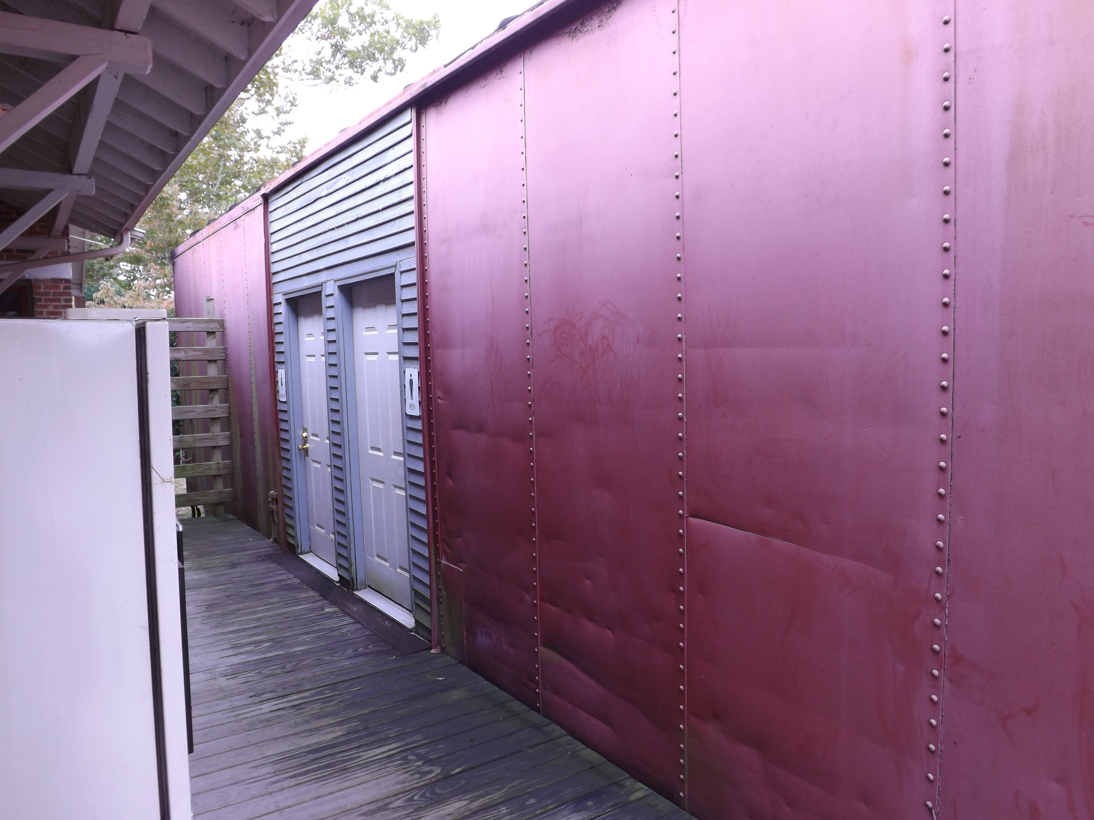
Boxcar Restrooms
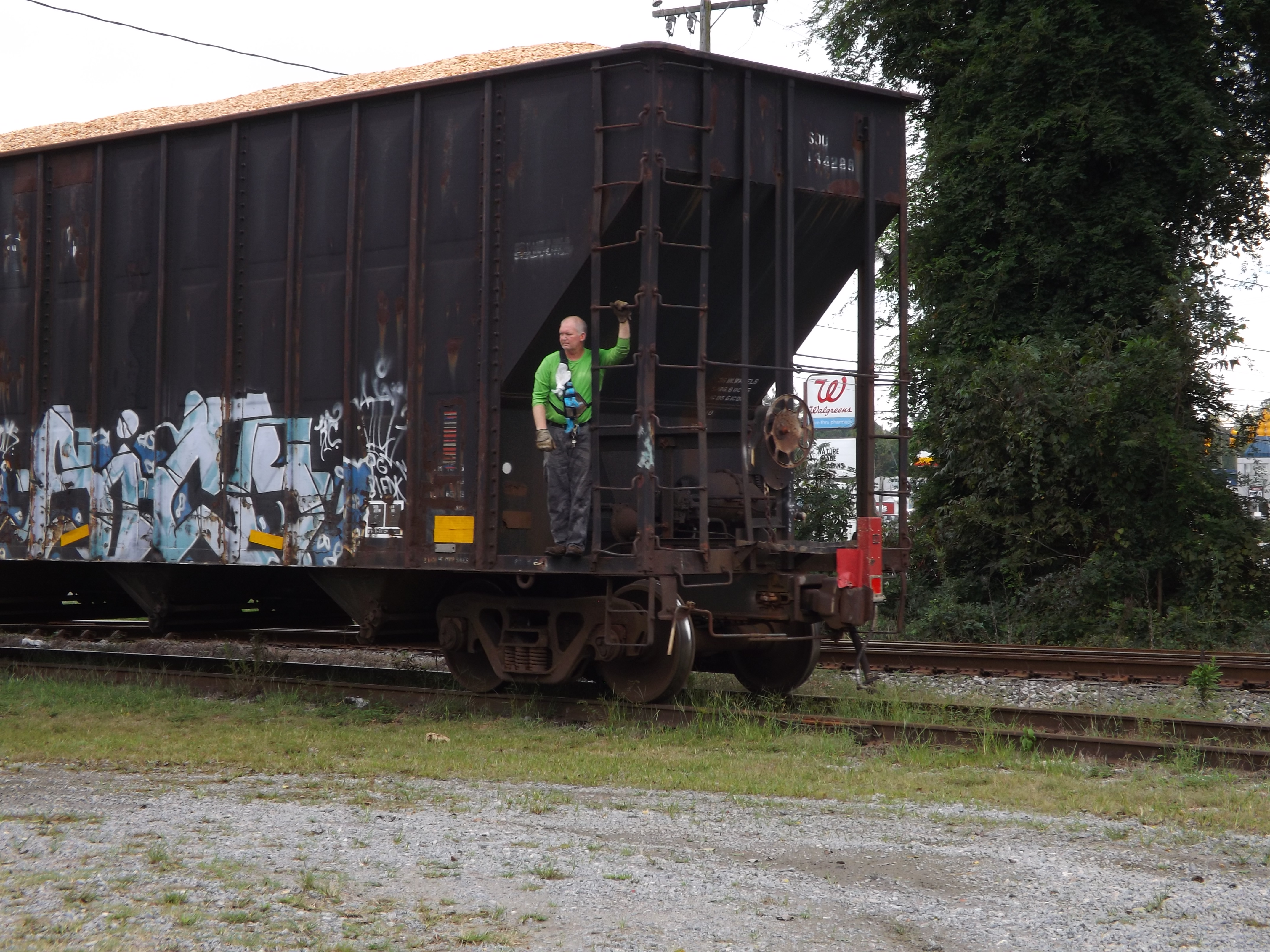
Conductor enjoying the view
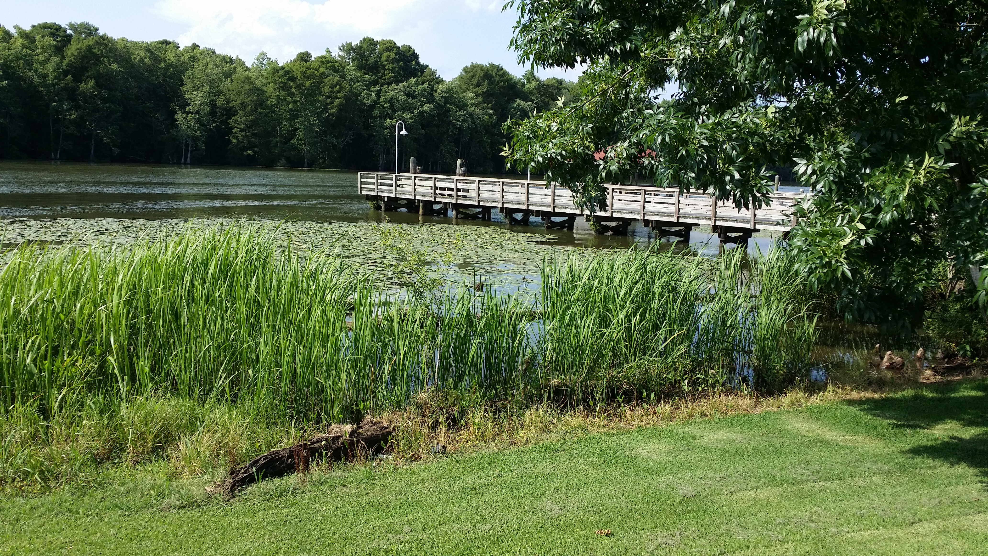
View of the Roanoke River
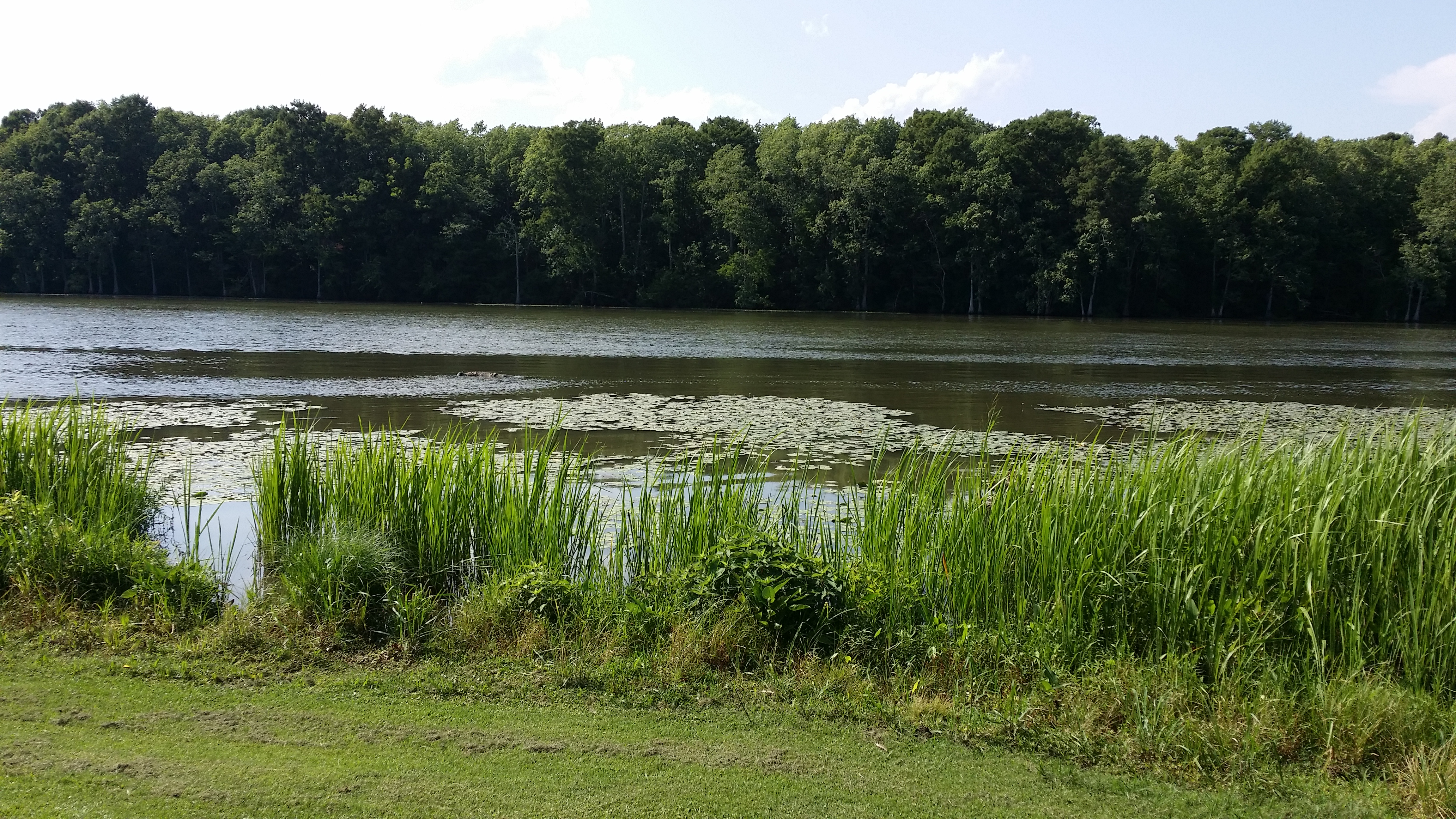
View of the Roanoke River
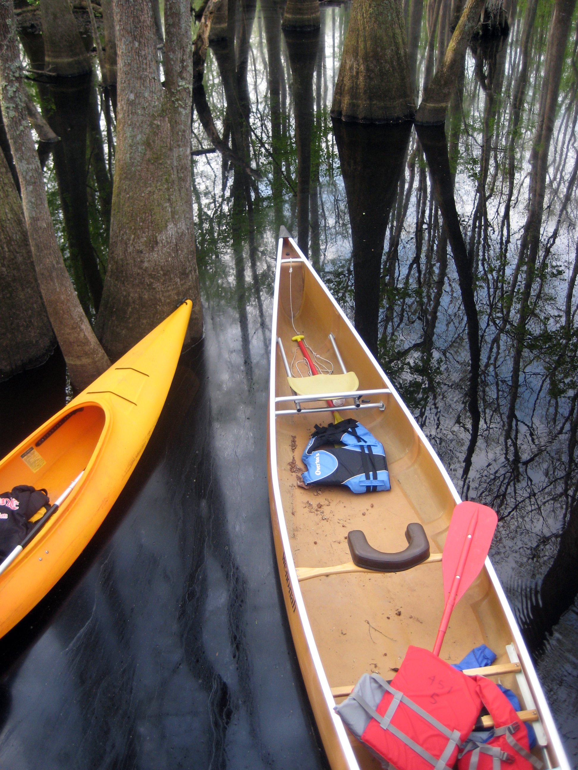
View from the platform into the boats
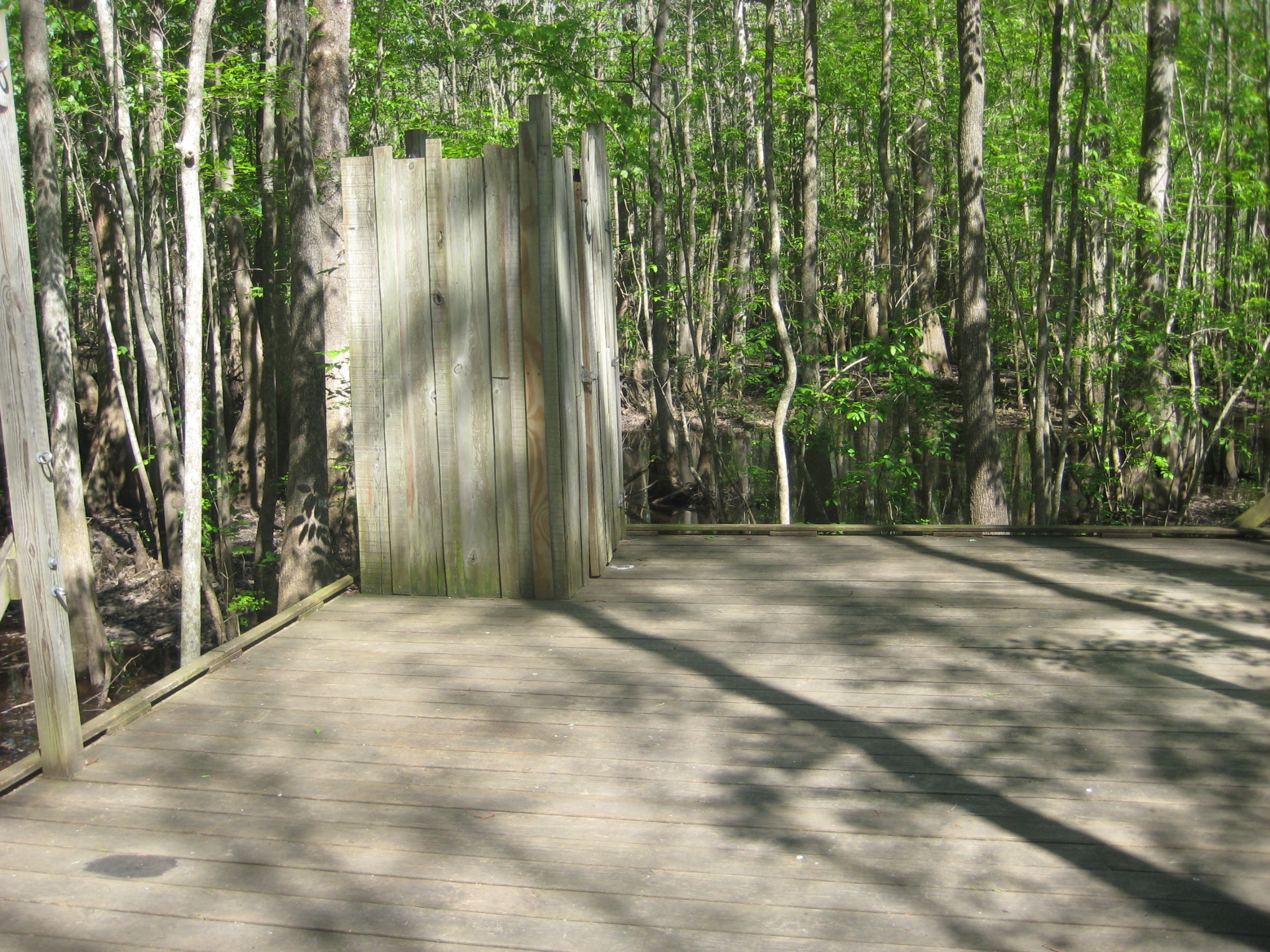
The necessary room is literally four walls, a floor, and a latch. That's it. Oh, but the view.
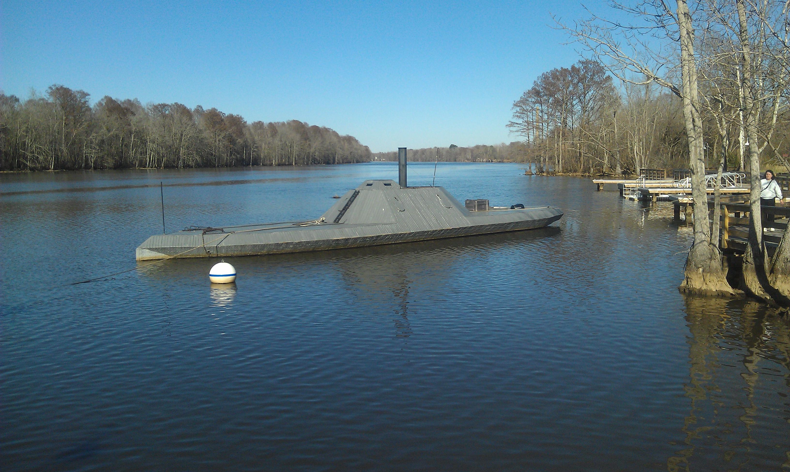
CSS ALBEMARLE replica- Plymouth NC (3)

U.S. 64 Near Plymouth, North Carolina

U.S. 64 Near Plymouth, North Carolina

The River

looking down the Roanoke river from lighthouse

Gardner Creek '13

Jamesville, N.C. '13
Topographic Map of Plymouth, NC, USA
Find elevation by address:

Places near Plymouth, NC, USA:
115 Broad Leaf Dr
145 Gleaves Rd
121 Old Roper Loop
223 Old Roper Rd
602 Washington St
108 Thomas St
Plymouth
124 E Water St
206 Andrew Jackson Ave
2431 Old Us Hwy 64
161 Conaby Dr
General Matt Ransome Drive
81 Nc-45
5152 Jerden Thicket Rd
7712 Long Ridge Rd
Jamesville
NC-45, Plymouth, NC, USA
119 Vincent Dr
Mackeys Rd, Roper, NC, USA
1537 Cooper Hill Rd
Recent Searches:
- Elevation of Rēzekne Municipality, Latvia
- Elevation of Plikpūrmaļi, Vērēmi Parish, Rēzekne Municipality, LV-, Latvia
- Elevation of 2 Henschke Ct, Caboolture QLD, Australia
- Elevation of Redondo Ave, Long Beach, CA, USA
- Elevation of Sadovaya Ulitsa, 20, Rezh, Sverdlovskaya oblast', Russia
- Elevation of Ulitsa Kalinina, 79, Rezh, Sverdlovskaya oblast', Russia
- Elevation of 72-31 Metropolitan Ave, Middle Village, NY, USA
- Elevation of 76 Metropolitan Ave, Brooklyn, NY, USA
- Elevation of Alisal Rd, Solvang, CA, USA
- Elevation of Vista Blvd, Sparks, NV, USA