Elevation of Long Ridge Rd, Plymouth, NC, USA
Location: United States > North Carolina > Washington County > Plymouth >
Longitude: -76.815569
Latitude: 35.734331
Elevation: 15m / 49feet
Barometric Pressure: 101KPa
Elevation Map:
Satellite Map:
Related Photos:

Monotone Isolation

The necessary room is literally four walls, a floor, and a latch. That's it. Oh, but the view.
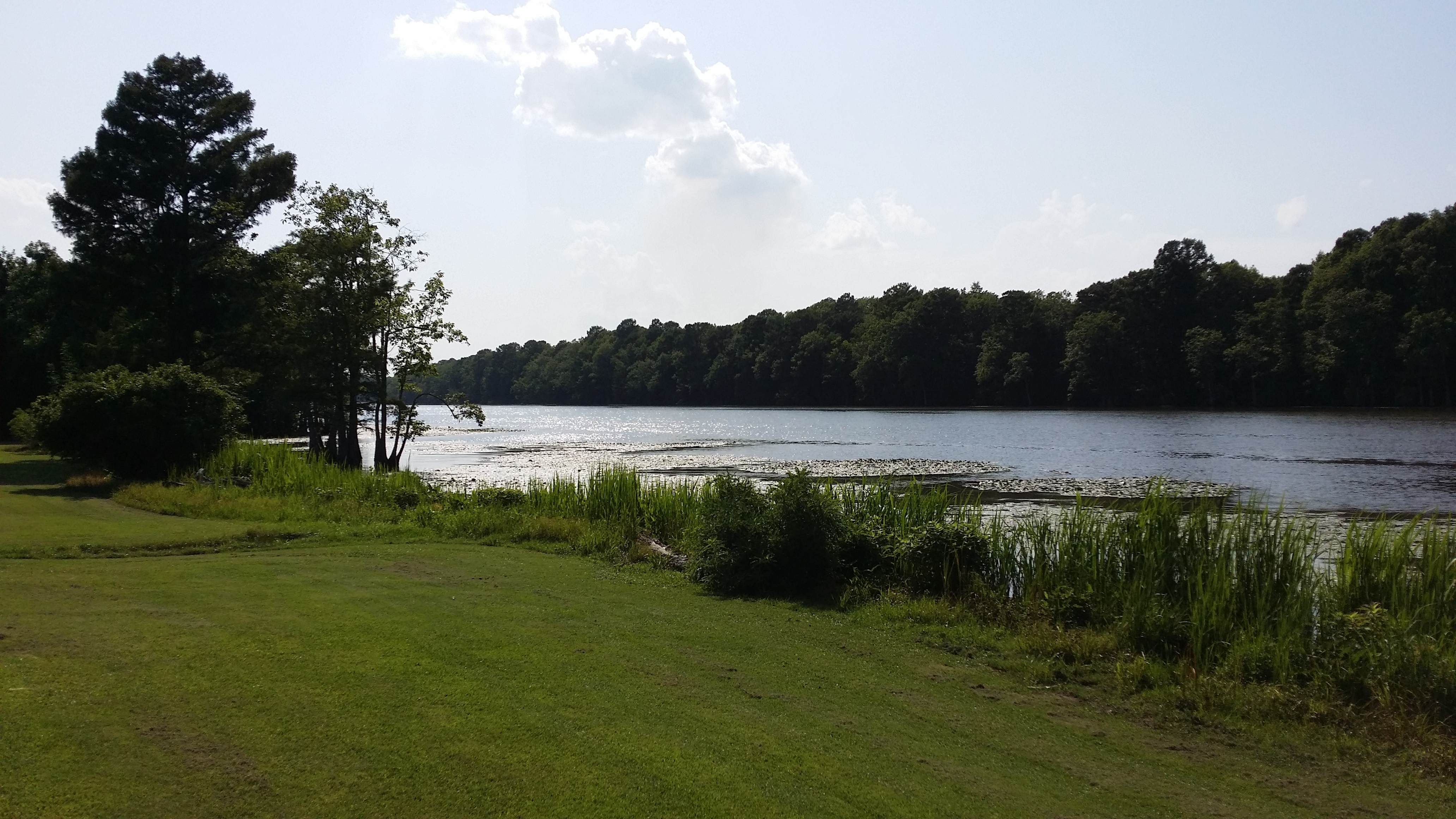
View of the Roanoke River

Conductor enjoying the view

2530 The Building of a Cornfield Ironclad Img_17124

View of the Roanoke River

View of the Roanoke River

Roanoke River Lighthouse at Plymouth II

Jamesville, N.C. '13

High Water

Roanoke River Lighthouse at Plymouth

coming in to the campsite

canoe trip

that tall thing is the "toilet"

cypress swamp

The River

more canoes

Flat country railroading
Topographic Map of Long Ridge Rd, Plymouth, NC, USA
Find elevation by address:

Places near Long Ridge Rd, Plymouth, NC, USA:
5152 Jerden Thicket Rd
Jamesville
2431 Old Us Hwy 64
Plymouth
115 Broad Leaf Dr
Jamesville
145 Gleaves Rd
135 Main St
1541 Arthur Modlin Rd
121 Old Roper Loop
223 Old Roper Rd
Christian School Rd, Pantego, NC, USA
602 Washington St
124 E Water St
Plymouth
108 Thomas St
206 Andrew Jackson Ave
Pantego
161 Conaby Dr
General Matt Ransome Drive
Recent Searches:
- Elevation of Tenjo, Cundinamarca, Colombia
- Elevation of Côte-des-Neiges, Montreal, QC H4A 3J6, Canada
- Elevation of Bobcat Dr, Helena, MT, USA
- Elevation of Zu den Ihlowbergen, Althüttendorf, Germany
- Elevation of Badaber, Peshawar, Khyber Pakhtunkhwa, Pakistan
- Elevation of SE Heron Loop, Lincoln City, OR, USA
- Elevation of Slanický ostrov, 01 Námestovo, Slovakia
- Elevation of Spaceport America, Co Rd A, Truth or Consequences, NM, USA
- Elevation of Warwick, RI, USA
- Elevation of Fern Rd, Whitmore, CA, USA