Elevation of Conaby Dr, Plymouth, NC, USA
Location: United States > North Carolina > Washington County > Plymouth >
Longitude: -76.733049
Latitude: 35.8722437
Elevation: 3m / 10feet
Barometric Pressure: 101KPa
Elevation Map:
Satellite Map:
Related Photos:

Monotone Isolation

Roanoke river, Plymouth

North Carolina, Plymouth, Roanoke River Lighthouse (Replica) (2,107)
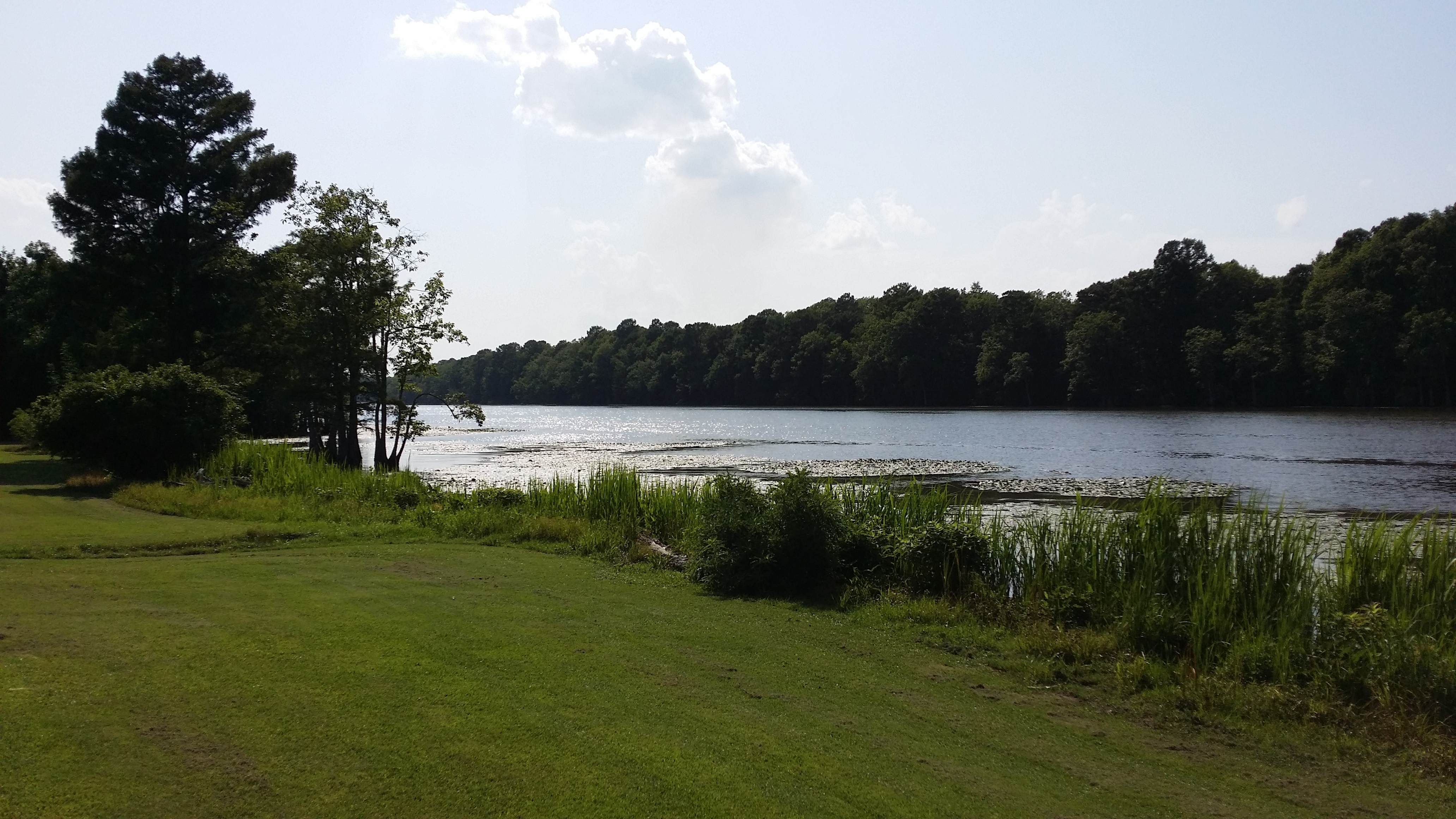
View of the Roanoke River

Conductor enjoying the view

Boxcar Restrooms

2530 The Building of a Cornfield Ironclad Img_17124

View of the Roanoke River

View of the Roanoke River

Roanoke River Lighthouse at Plymouth II

Roanoke River Lighthouse at Plymouth

High Water

CSS ALBEMARLE replica- Plymouth NC (3)

The River
Topographic Map of Conaby Dr, Plymouth, NC, USA
Find elevation by address:

Places near Conaby Dr, Plymouth, NC, USA:
General Matt Ransome Drive
206 Andrew Jackson Ave
108 Thomas St
Plymouth
124 E Water St
602 Washington St
81 Nc-45
NC-45, Plymouth, NC, USA
Mackeys Rd, Roper, NC, USA
119 Vincent Dr
1537 Cooper Hill Rd
Merry Hill
230 Blanchards Rd
Salmon Creek Ln, Merry Hill, NC, USA
401 Avoca Farm Rd
Merry Hill
2018 Us-17
2007 Us-17
Windsor
Brian Center Health & Rehabilitation/windsor
Recent Searches:
- Elevation of W Granada St, Tampa, FL, USA
- Elevation of Pykes Down, Ivybridge PL21 0BY, UK
- Elevation of Jalan Senandin, Lutong, Miri, Sarawak, Malaysia
- Elevation of Bilohirs'k
- Elevation of 30 Oak Lawn Dr, Barkhamsted, CT, USA
- Elevation of Luther Road, Luther Rd, Auburn, CA, USA
- Elevation of Unnamed Road, Respublika Severnaya Osetiya — Alaniya, Russia
- Elevation of Verkhny Fiagdon, North Ossetia–Alania Republic, Russia
- Elevation of F. Viola Hiway, San Rafael, Bulacan, Philippines
- Elevation of Herbage Dr, Gulfport, MS, USA