Elevation of Jamesville, NC, USA
Location: United States > North Carolina > Martin County >
Longitude: -76.849032
Latitude: 35.7761485
Elevation: 15m / 49feet
Barometric Pressure: 101KPa
Elevation Map:
Satellite Map:
Related Photos:

North Carolina, Plymouth, Roanoke River Lighthouse (Replica) (2,107)

North Carolina, Plymouth, Roanoke River Lighthouse (Replica) (2,107b)
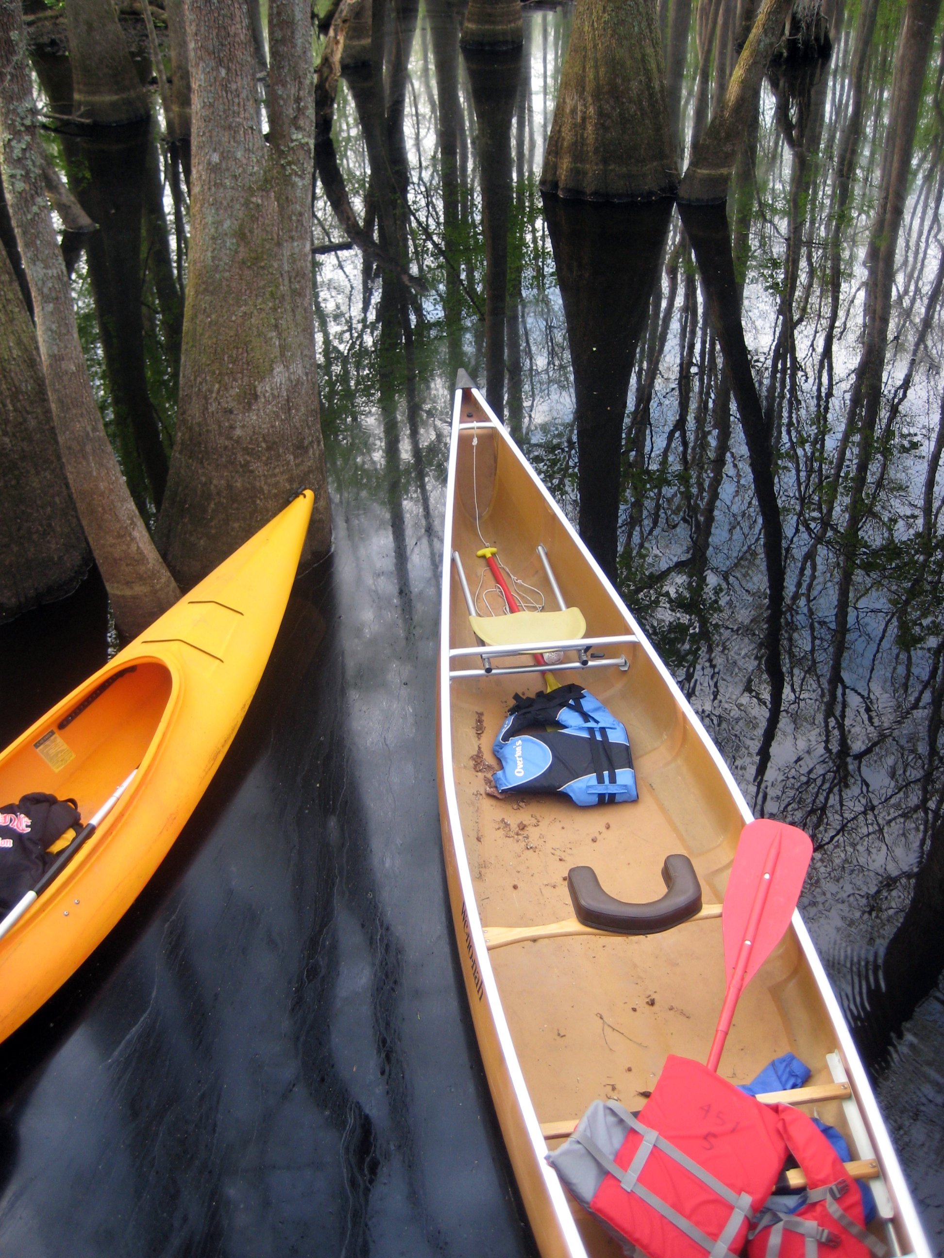
View from the platform into the boats
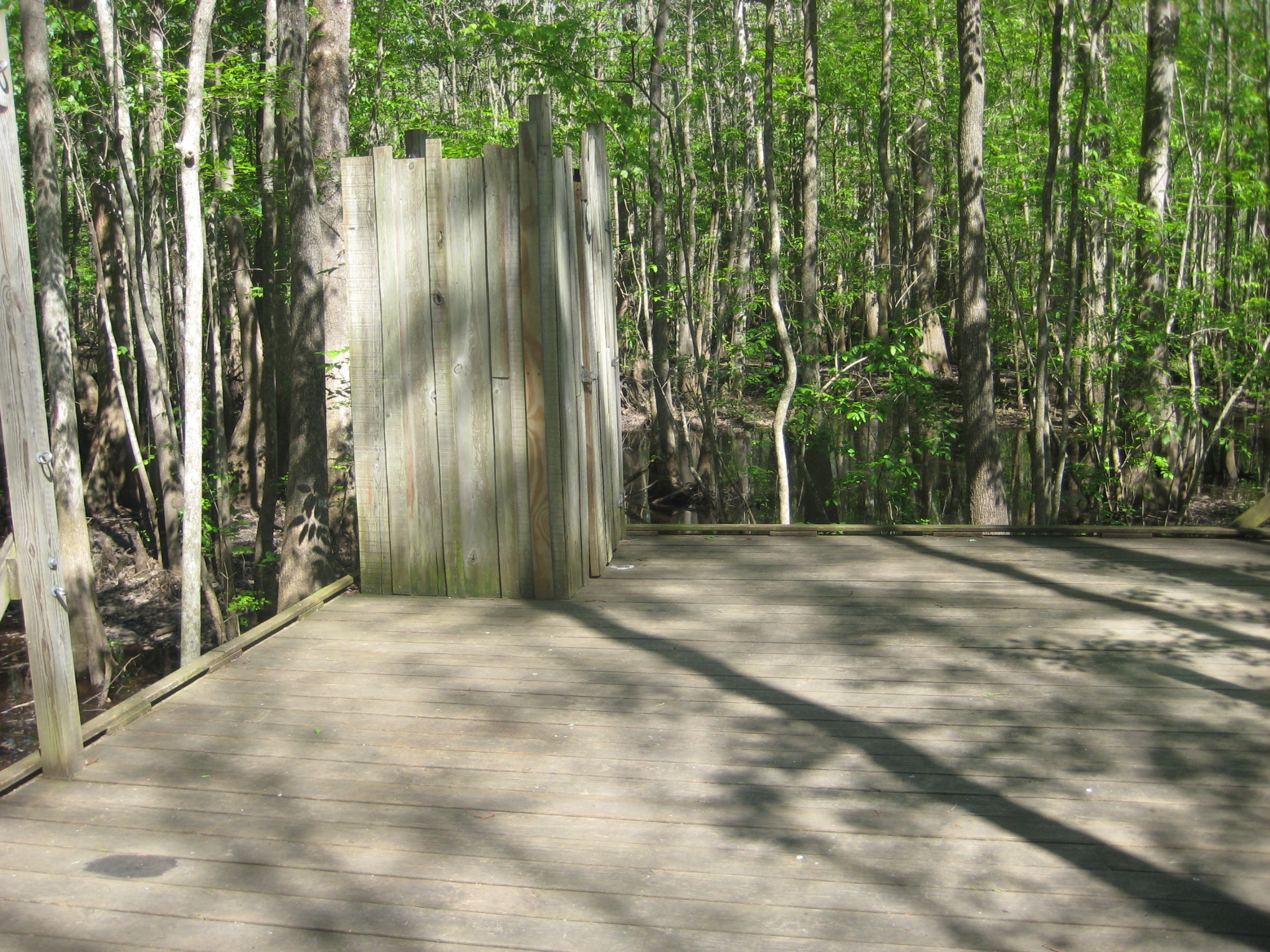
The necessary room is literally four walls, a floor, and a latch. That's it. Oh, but the view.

Monotone Isolation

Rifled Cannon HDR

View of the Roanoke River
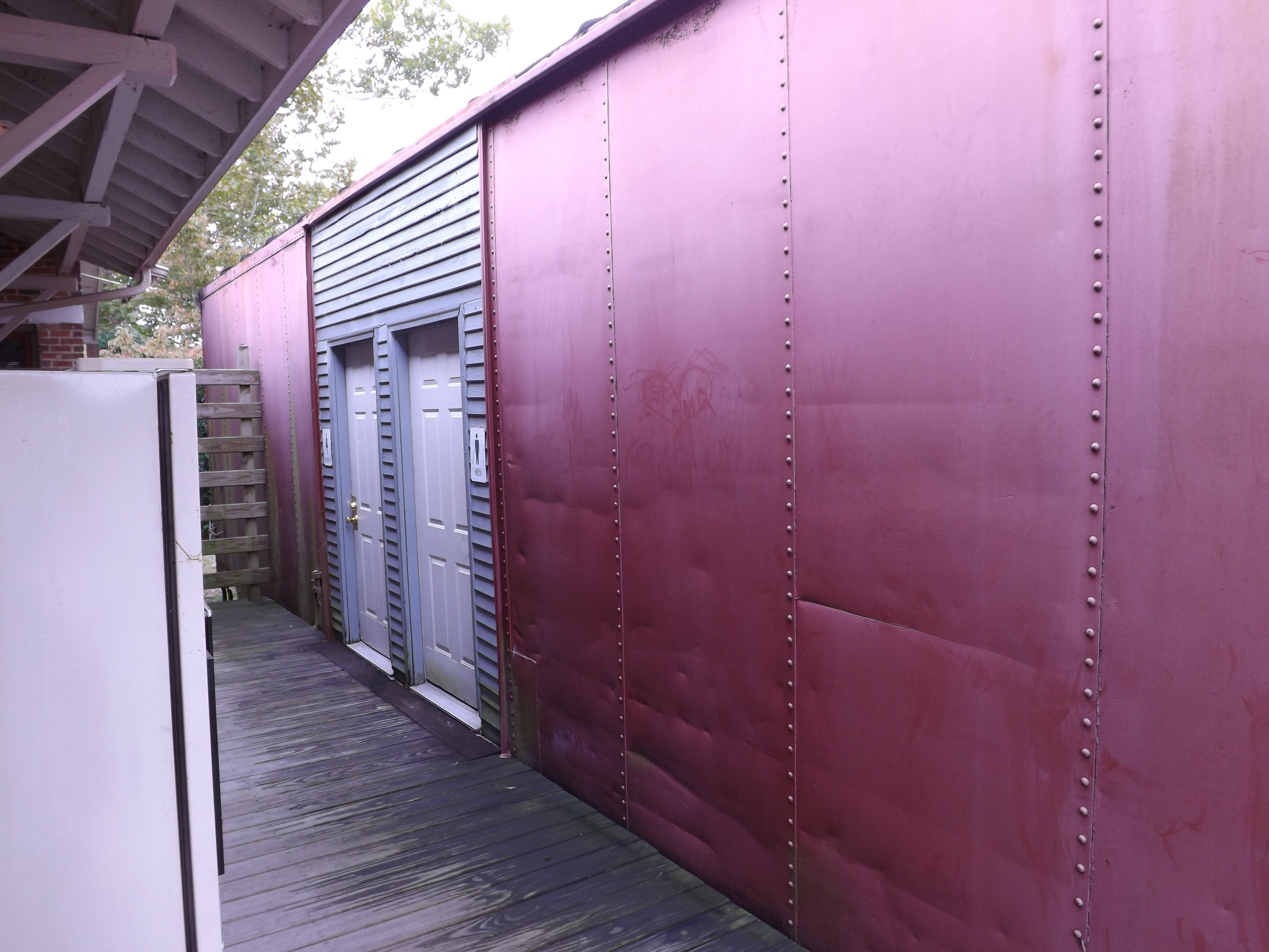
Boxcar Restrooms
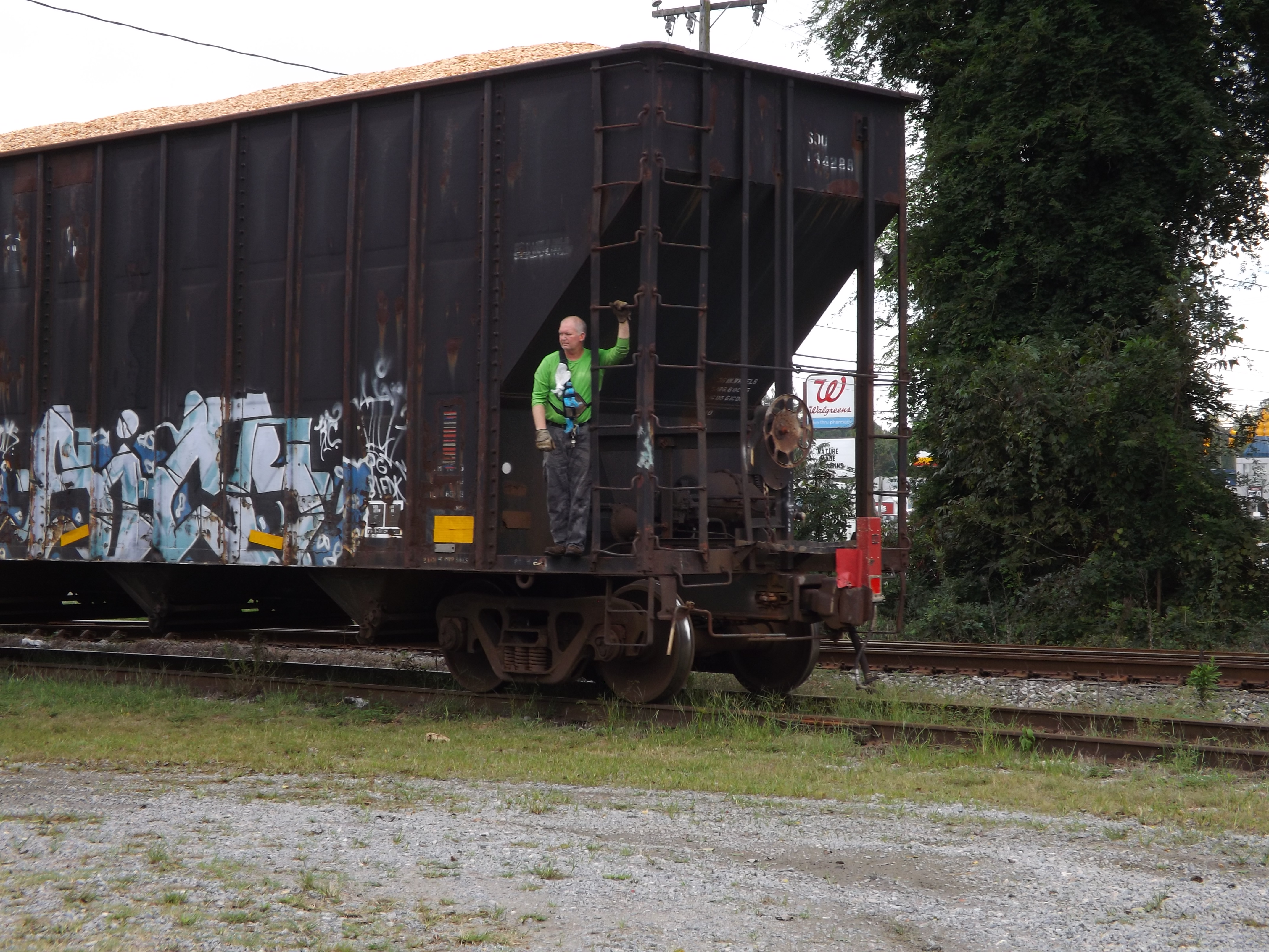
Conductor enjoying the view
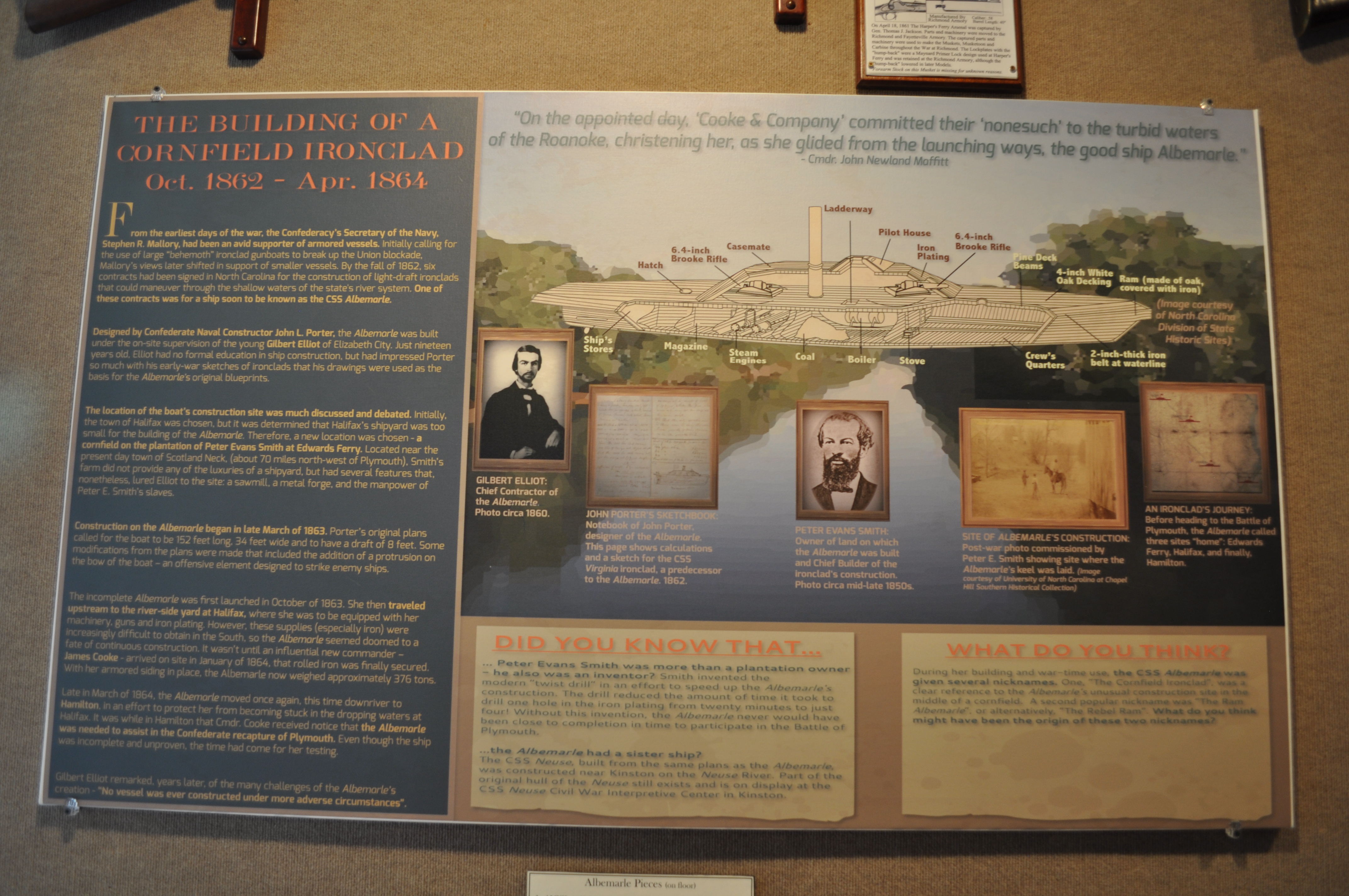
2530 The Building of a Cornfield Ironclad Img_17124

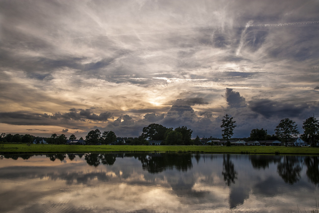
Roanoke river, Plymouth
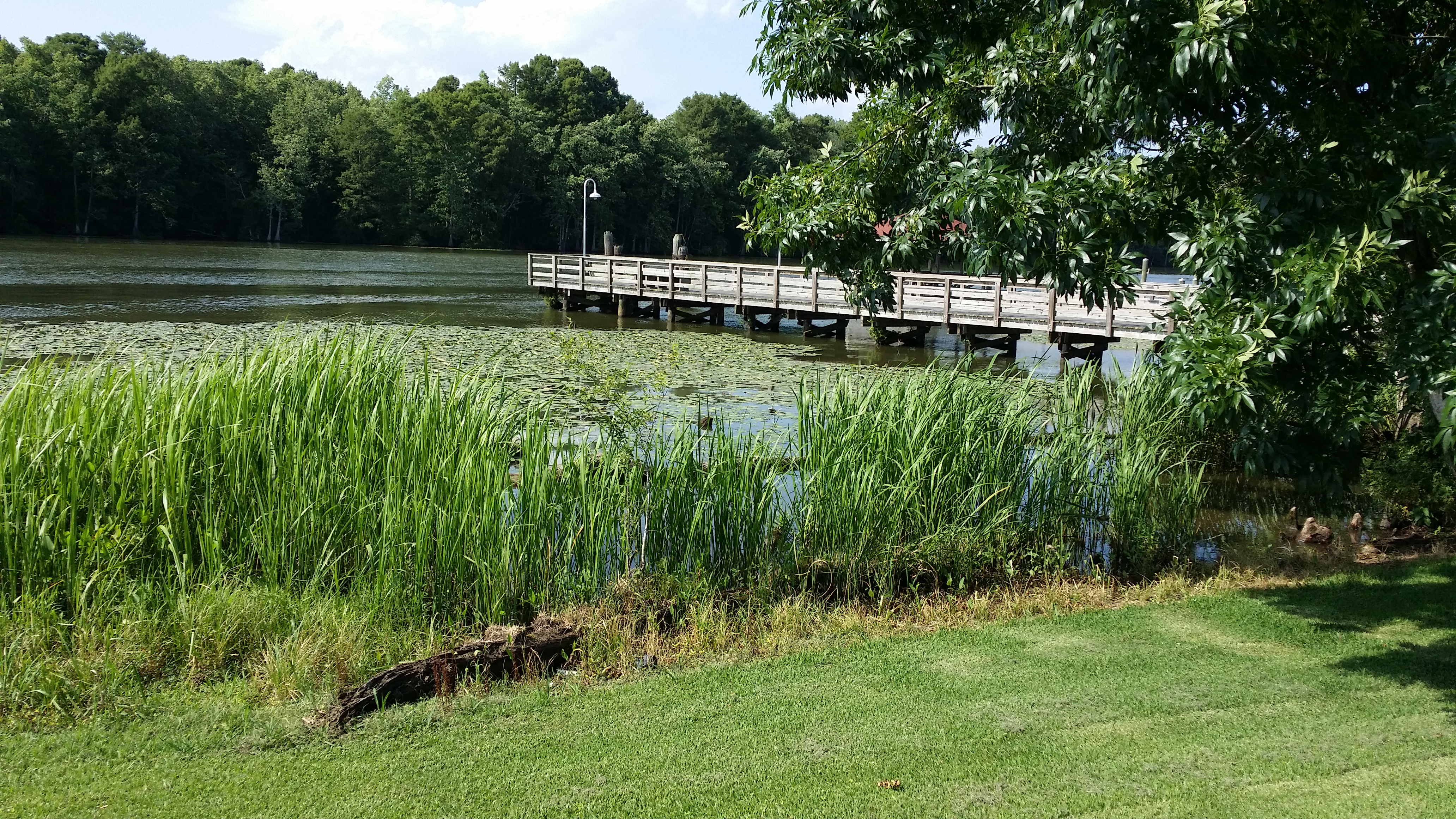
View of the Roanoke River
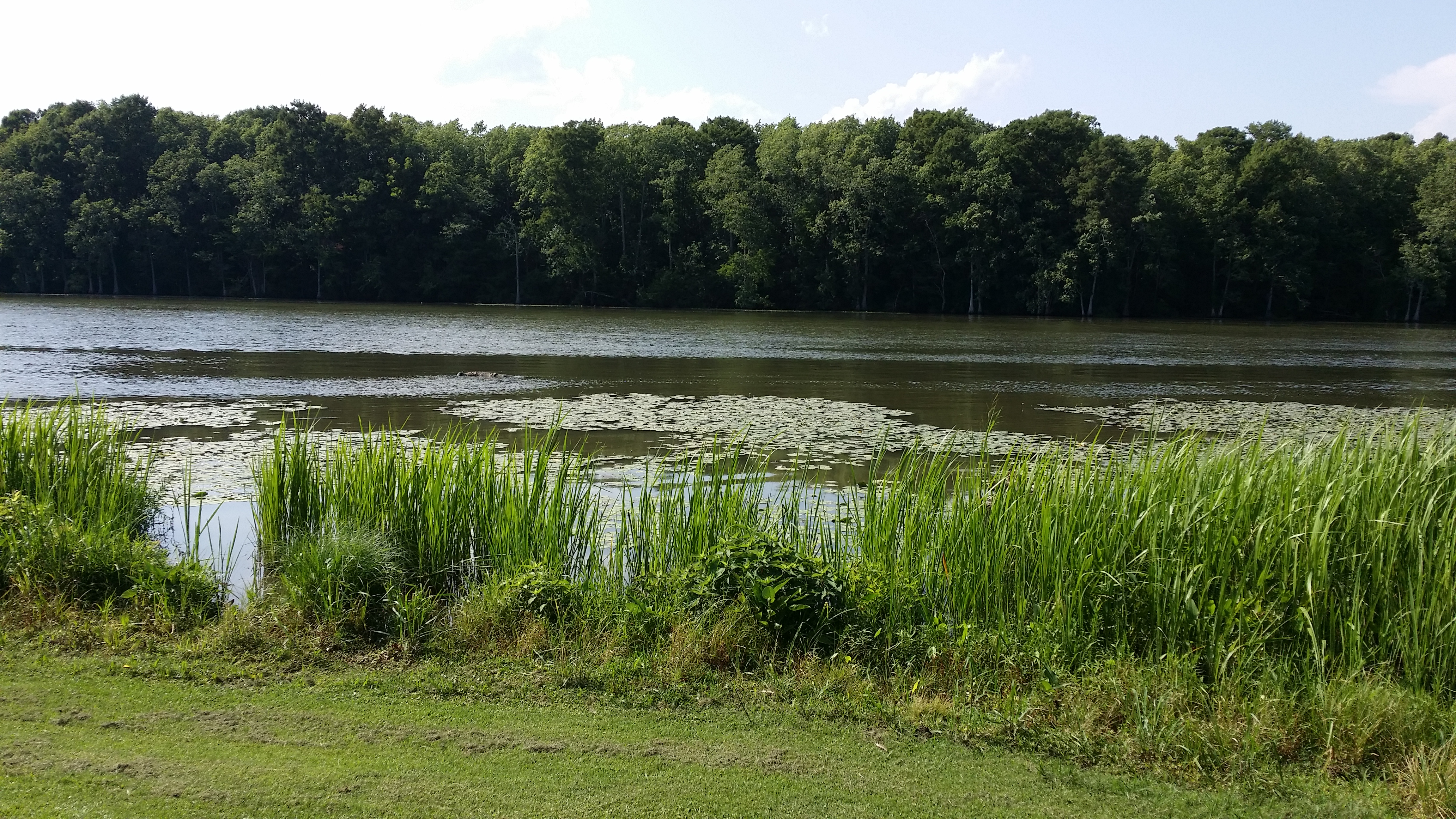
View of the Roanoke River
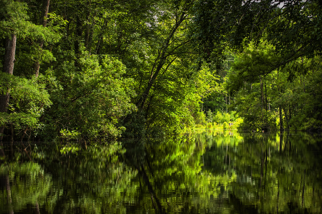
Gardner Creek '13
Jamesville, N.C. '13
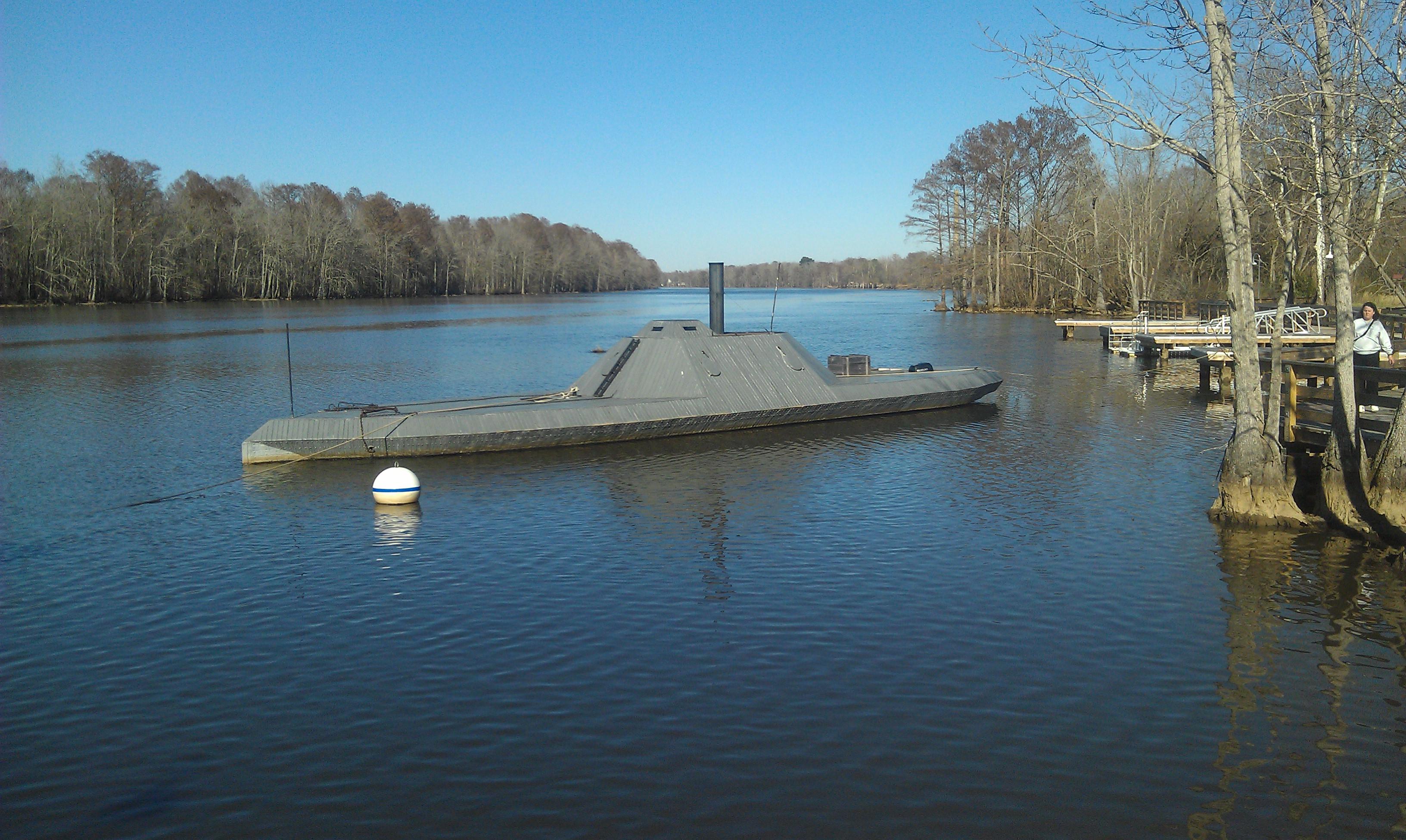
CSS ALBEMARLE replica- Plymouth NC (3)

The River
Topographic Map of Jamesville, NC, USA
Find elevation by address:

Places in Jamesville, NC, USA:
Places near Jamesville, NC, USA:
5152 Jerden Thicket Rd
7712 Long Ridge Rd
2431 Old Us Hwy 64
Jamesville
115 Broad Leaf Dr
1541 Arthur Modlin Rd
Plymouth
145 Gleaves Rd
602 Washington St
121 Old Roper Loop
124 E Water St
Plymouth
NC-, Jamesville, NC, USA
223 Old Roper Rd
108 Thomas St
206 Andrew Jackson Ave
230 Blanchards Rd
119 Vincent Dr
Williams
161 Conaby Dr
Recent Searches:
- Elevation of Elwyn Dr, Roanoke Rapids, NC, USA
- Elevation of Congressional Dr, Stevensville, MD, USA
- Elevation of Bellview Rd, McLean, VA, USA
- Elevation of Stage Island Rd, Chatham, MA, USA
- Elevation of Shibuya Scramble Crossing, 21 Udagawacho, Shibuya City, Tokyo -, Japan
- Elevation of Jadagoniai, Kaunas District Municipality, Lithuania
- Elevation of Pagonija rock, Kranto 7-oji g. 8"N, Kaunas, Lithuania
- Elevation of Co Rd 87, Jamestown, CO, USA
- Elevation of Tenjo, Cundinamarca, Colombia
- Elevation of Côte-des-Neiges, Montreal, QC H4A 3J6, Canada