Elevation of Old Roper Loop, Plymouth, NC, USA
Location: United States > North Carolina > Washington County > Plymouth >
Longitude: -76.740092
Latitude: 35.8524577
Elevation: 2m / 7feet
Barometric Pressure: 101KPa
Elevation Map:
Satellite Map:
Related Photos:

Monotone Isolation

Roanoke river, Plymouth

North Carolina, Plymouth, Roanoke River Lighthouse (Replica) (2,107)

View of the Roanoke River
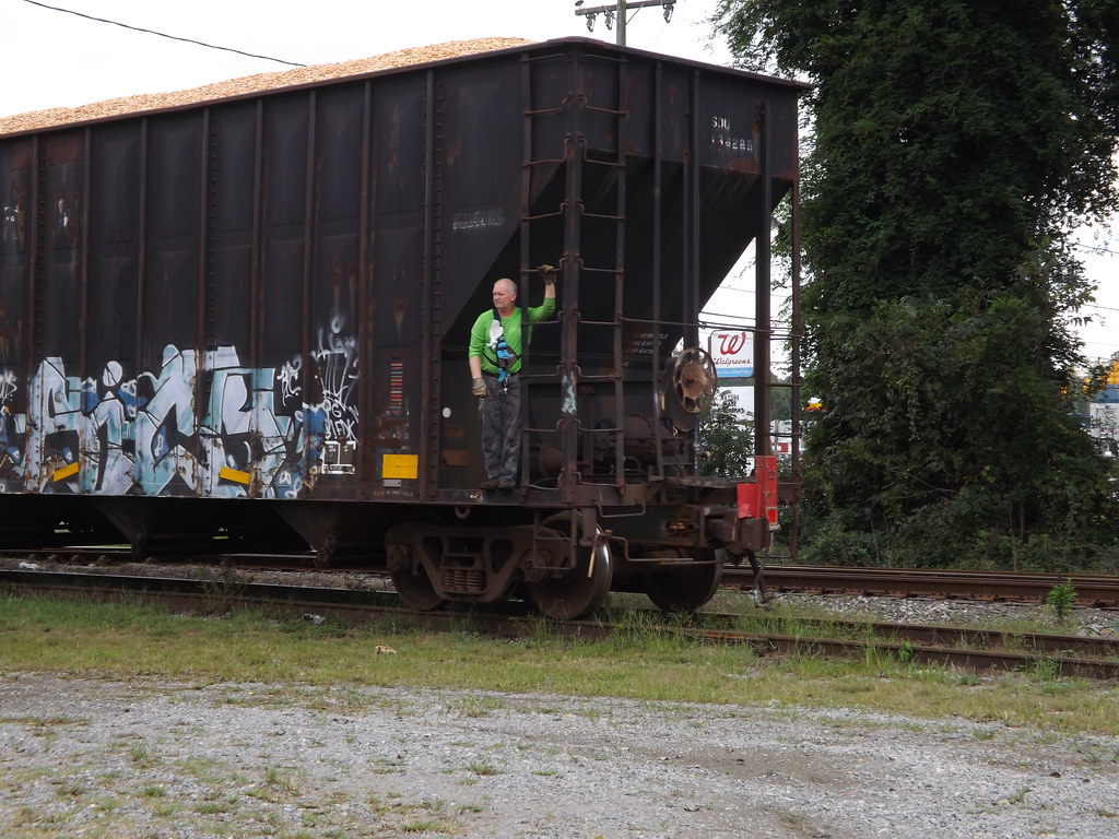
Conductor enjoying the view
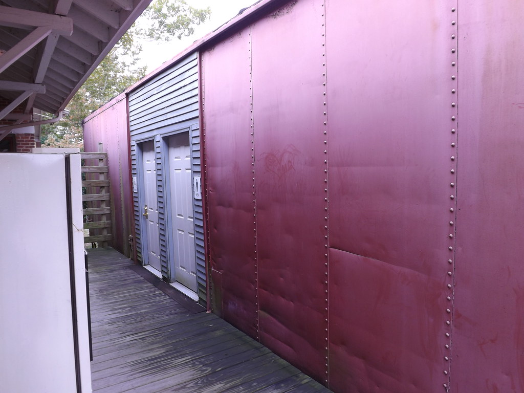
Boxcar Restrooms
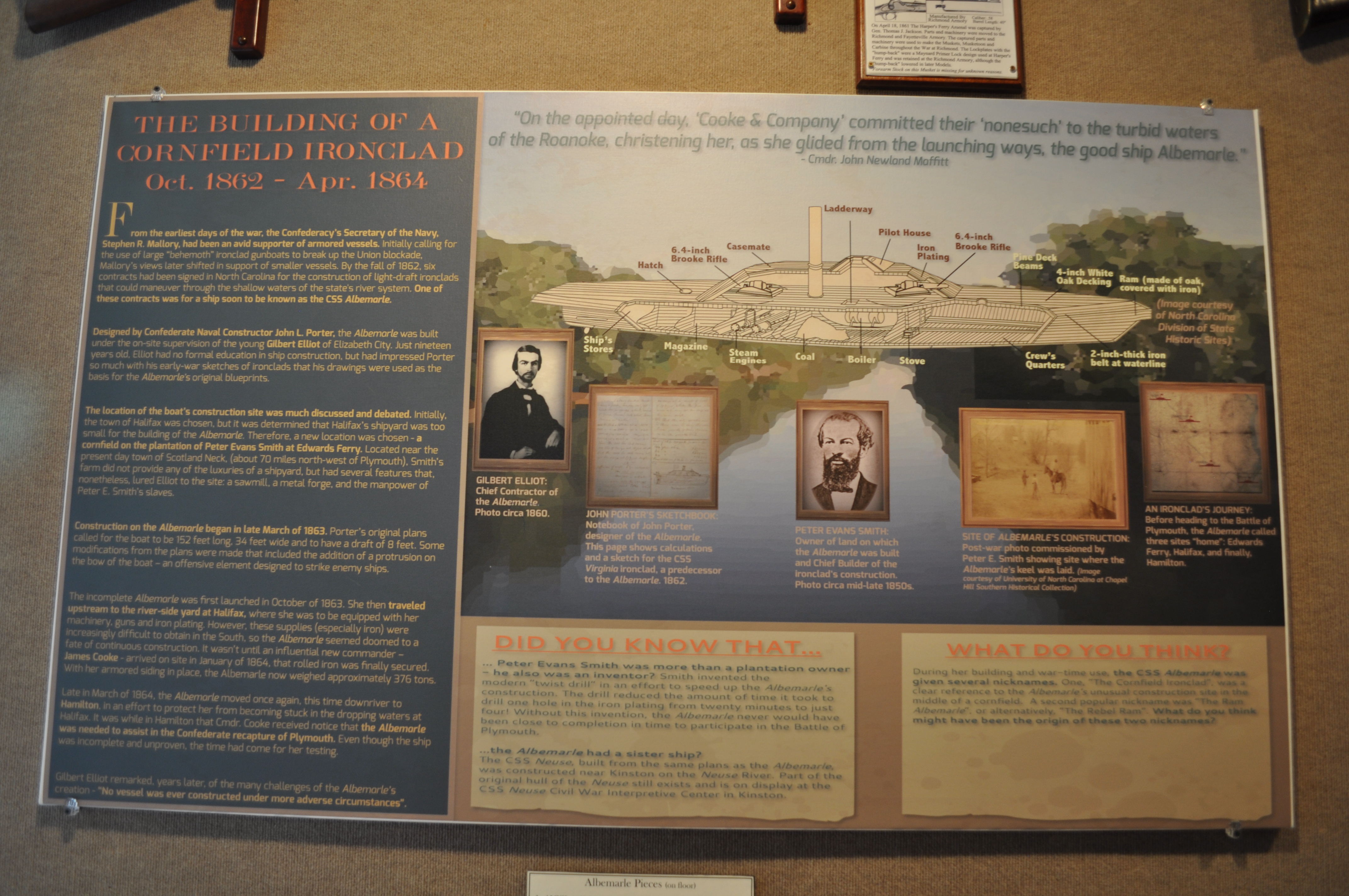
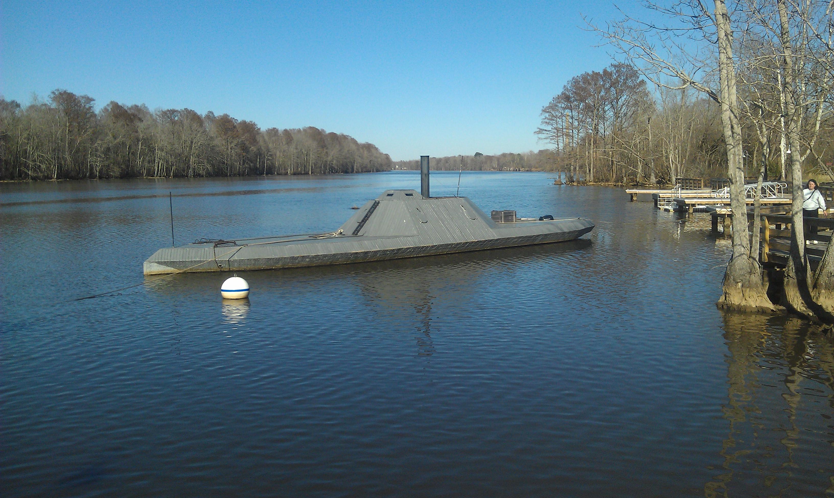
2530 The Building of a Cornfield Ironclad Img_17124
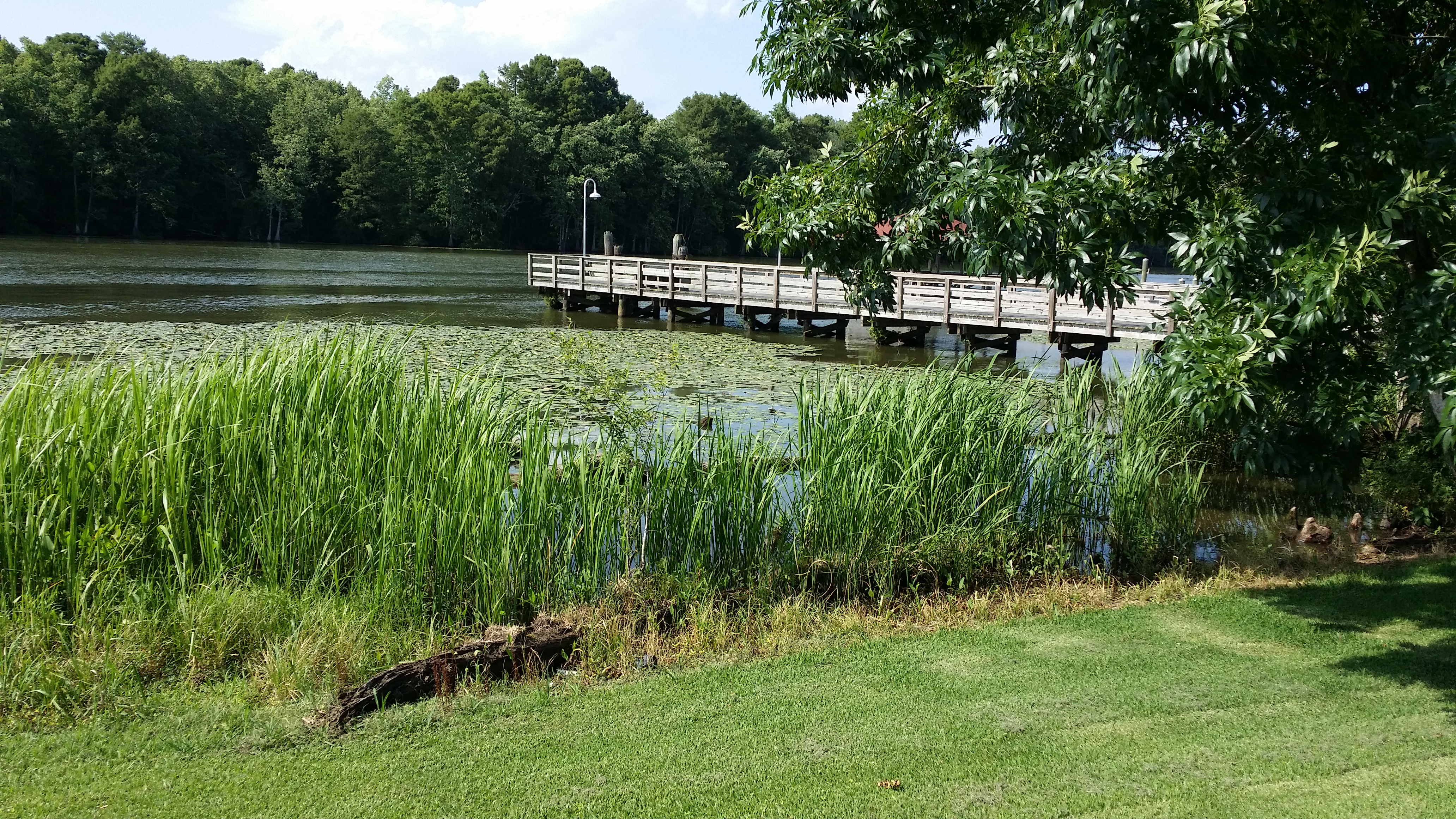
View of the Roanoke River
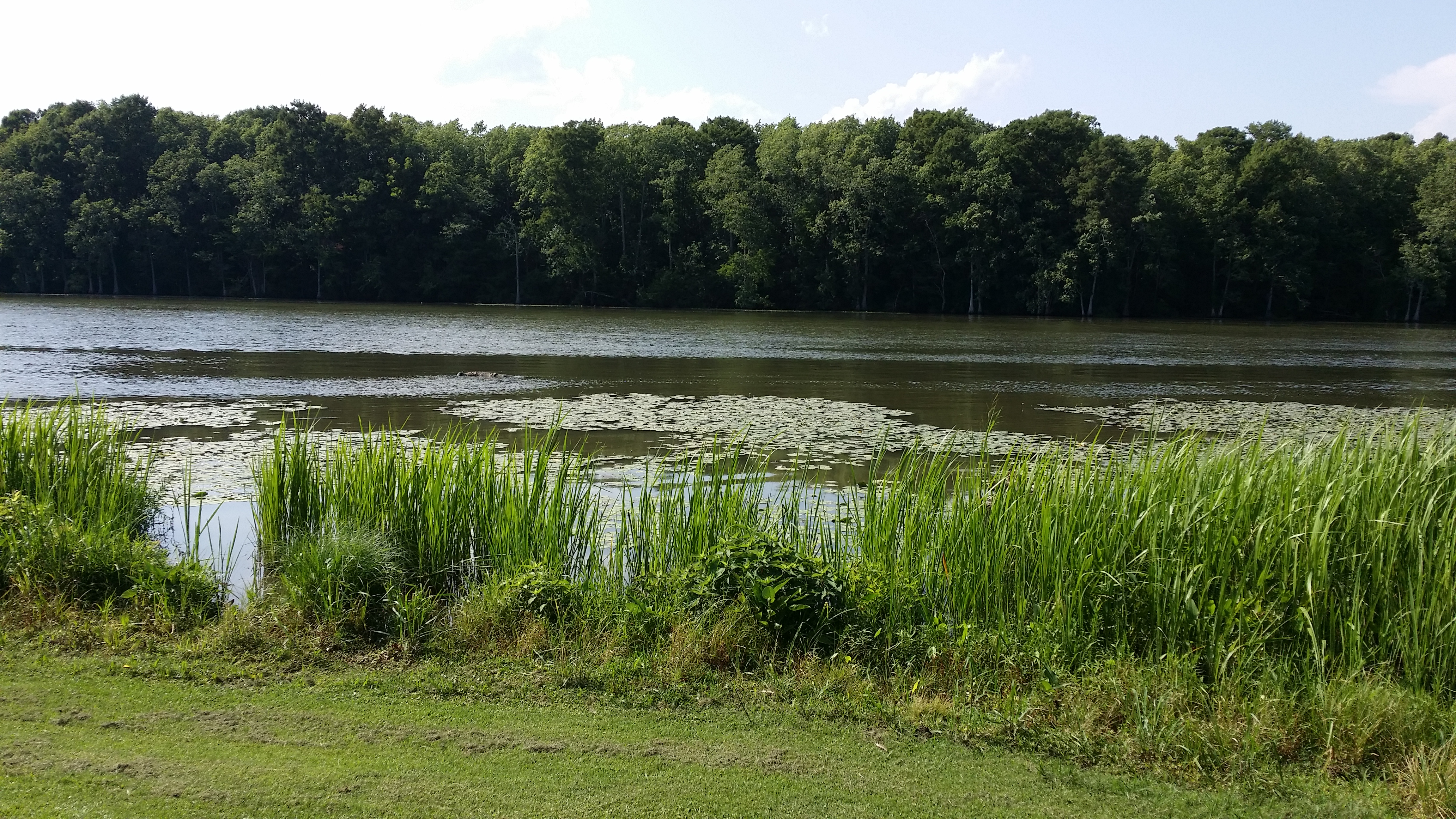
View of the Roanoke River
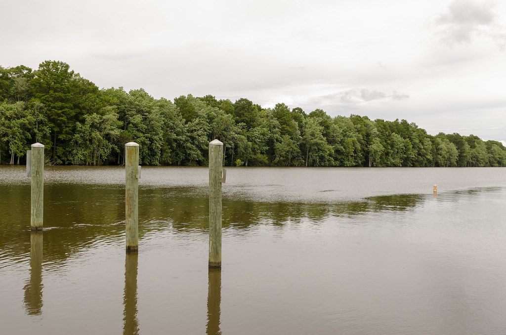
High Water
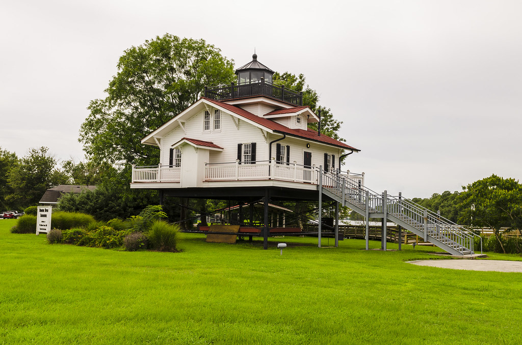
Roanoke River Lighthouse at Plymouth II
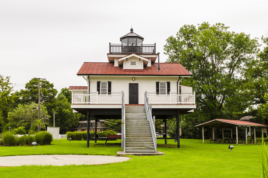
Roanoke River Lighthouse at Plymouth
CSS ALBEMARLE replica- Plymouth NC (3)

The River
Topographic Map of Old Roper Loop, Plymouth, NC, USA
Find elevation by address:

Places near Old Roper Loop, Plymouth, NC, USA:
223 Old Roper Rd
602 Washington St
108 Thomas St
206 Andrew Jackson Ave
Plymouth
124 E Water St
145 Gleaves Rd
161 Conaby Dr
General Matt Ransome Drive
81 Nc-45
115 Broad Leaf Dr
Plymouth
NC-45, Plymouth, NC, USA
2431 Old Us Hwy 64
Mackeys Rd, Roper, NC, USA
119 Vincent Dr
1537 Cooper Hill Rd
Lees Mill
307 Buncombe Ave
5152 Jerden Thicket Rd
Recent Searches:
- Elevation of Côte-des-Neiges, Montreal, QC H4A 3J6, Canada
- Elevation of Bobcat Dr, Helena, MT, USA
- Elevation of Zu den Ihlowbergen, Althüttendorf, Germany
- Elevation of Badaber, Peshawar, Khyber Pakhtunkhwa, Pakistan
- Elevation of SE Heron Loop, Lincoln City, OR, USA
- Elevation of Slanický ostrov, 01 Námestovo, Slovakia
- Elevation of Spaceport America, Co Rd A, Truth or Consequences, NM, USA
- Elevation of Warwick, RI, USA
- Elevation of Fern Rd, Whitmore, CA, USA
- Elevation of 62 Abbey St, Marshfield, MA, USA