Elevation of Plum Grove, NE, USA
Location: United States > Nebraska > Pierce County >
Longitude: -97.546388
Latitude: 42.4006484
Elevation: 533m / 1749feet
Barometric Pressure: 95KPa
Elevation Map:
Satellite Map:
Related Photos:

A Light From Above
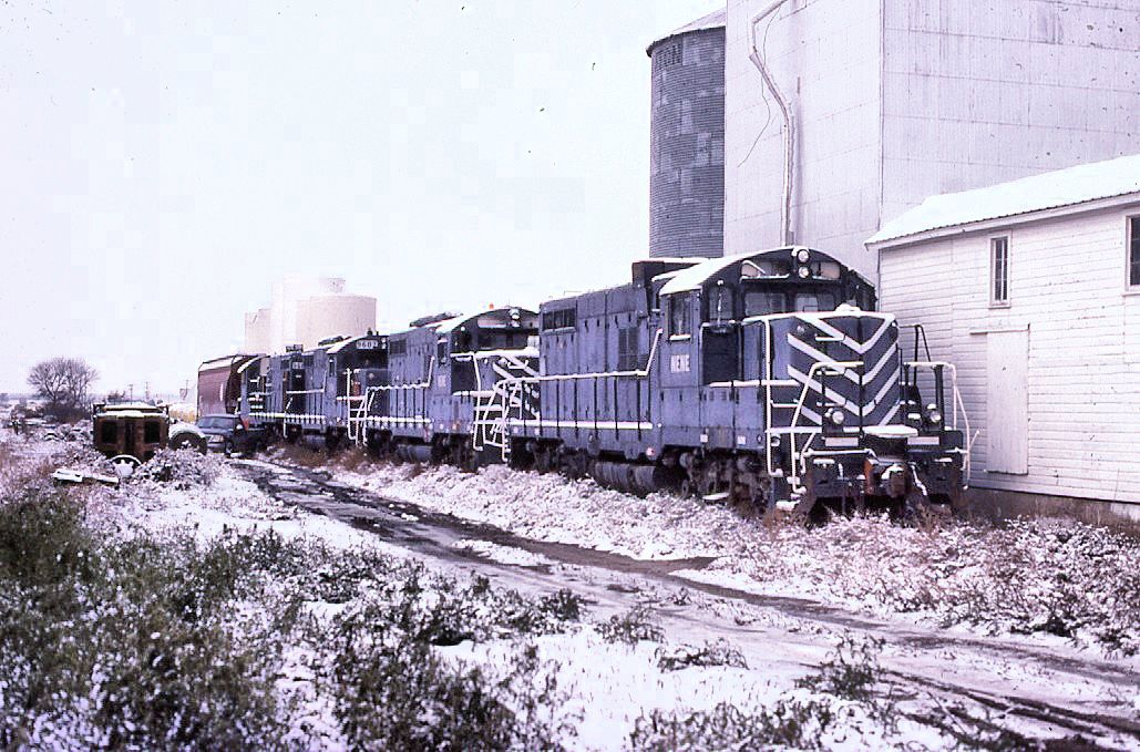
Nebraska Central GP-8
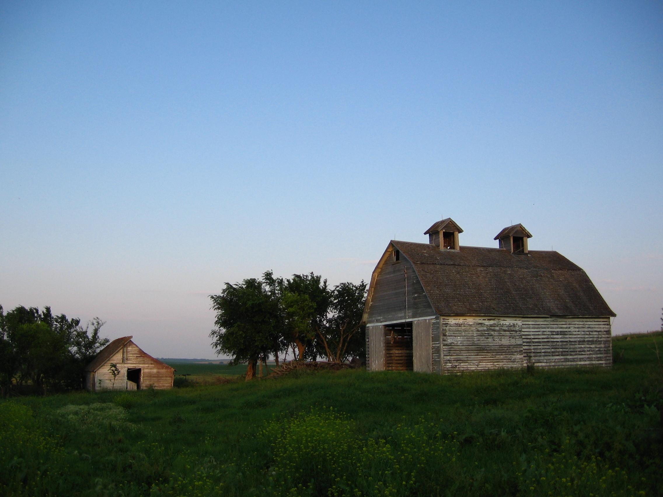
Family Farm
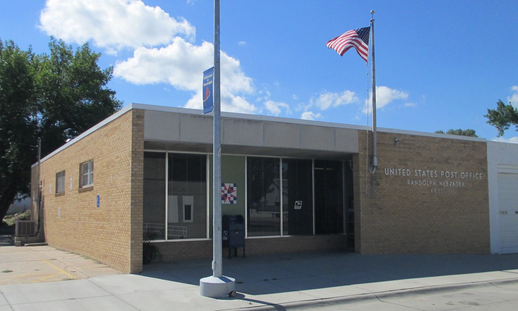
Post Office 68771 (Randolph, Nebraska)
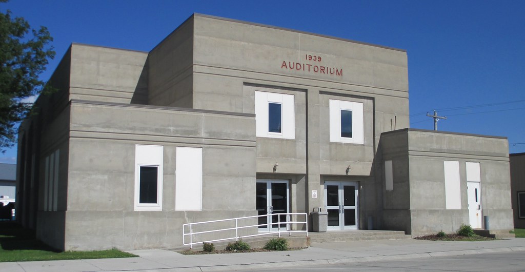
City Auditorium (Randolph, Nebraska)
Topographic Map of Plum Grove, NE, USA
Find elevation by address:

Places in Plum Grove, NE, USA:
Places near Plum Grove, NE, USA:
N State St, Osmond, NE, USA
Osmond
Pierce County
Randolph
Pierce Public Library
Pierce
Belden
Coleridge
Deer Creek
Creighton
Main St, Creighton, NE, USA
Carroll
Wayne County
Cedar County
Knox County
Bow Valley
Laurel
Lake Yankton
U.s. 20
52560 856th Rd
Recent Searches:
- Elevation of Calais Dr, Del Mar, CA, USA
- Elevation of Placer Mine Ln, West Jordan, UT, USA
- Elevation of E 63rd St, New York, NY, USA
- Elevation of Elk City, OK, USA
- Elevation of Erika Dr, Windsor, CA, USA
- Elevation of Village Ln, Finleyville, PA, USA
- Elevation of 24 Oakland Rd #, Scotland, ON N0E 1R0, Canada
- Elevation of Deep Gap Farm Rd E, Mill Spring, NC, USA
- Elevation of Dog Leg Dr, Minden, NV, USA
- Elevation of Dog Leg Dr, Minden, NV, USA