Elevation of Lake Yankton, West Yankton, SD, USA
Location: United States > South Dakota > Yankton County > Yankton >
Longitude: -97.471946
Latitude: 42.8546872
Elevation: 357m / 1171feet
Barometric Pressure: 97KPa
Elevation Map:
Satellite Map:
Related Photos:
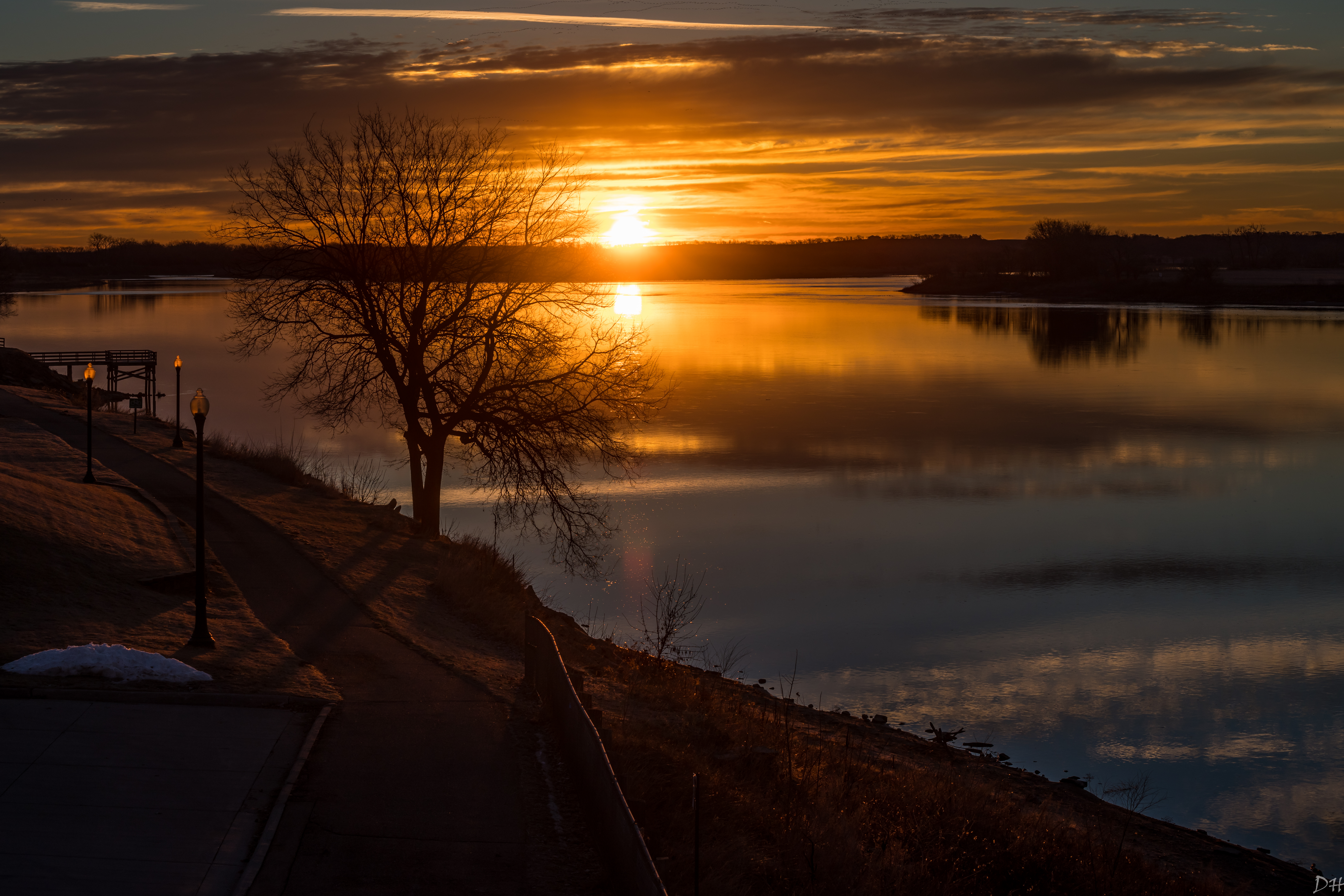
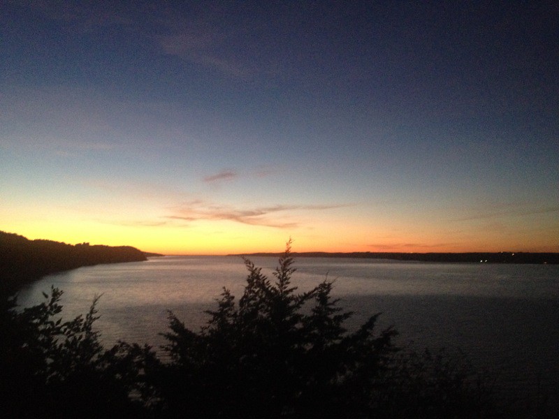
Yankton Sunrise
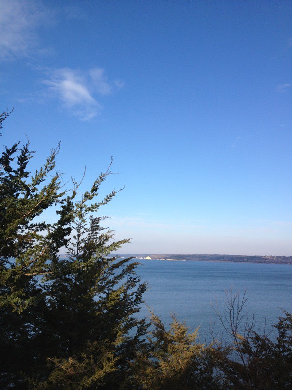
IMG_0782.JPG

IMG_0778.JPG
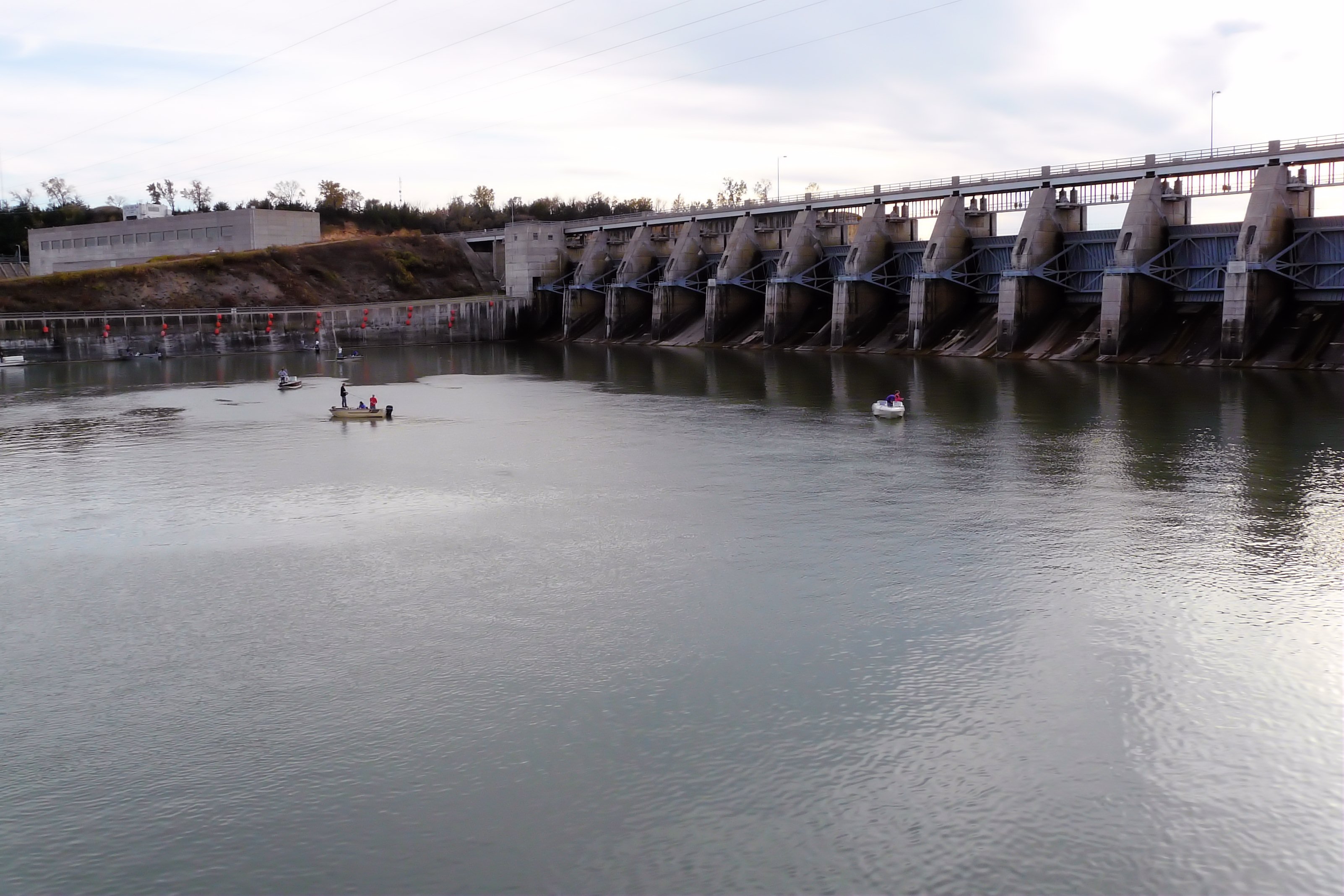
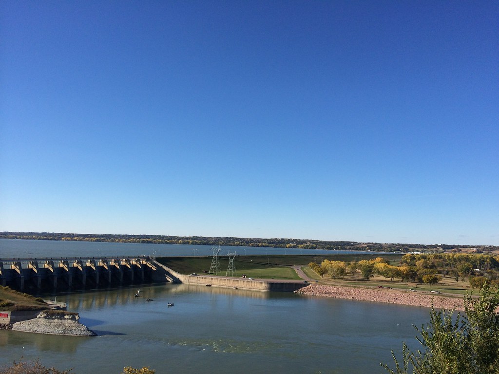
Gavins Point Dam
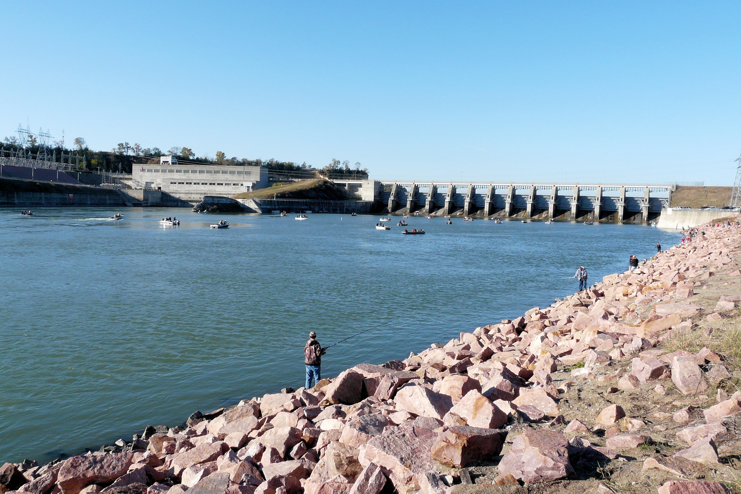
Gavins Point Dam
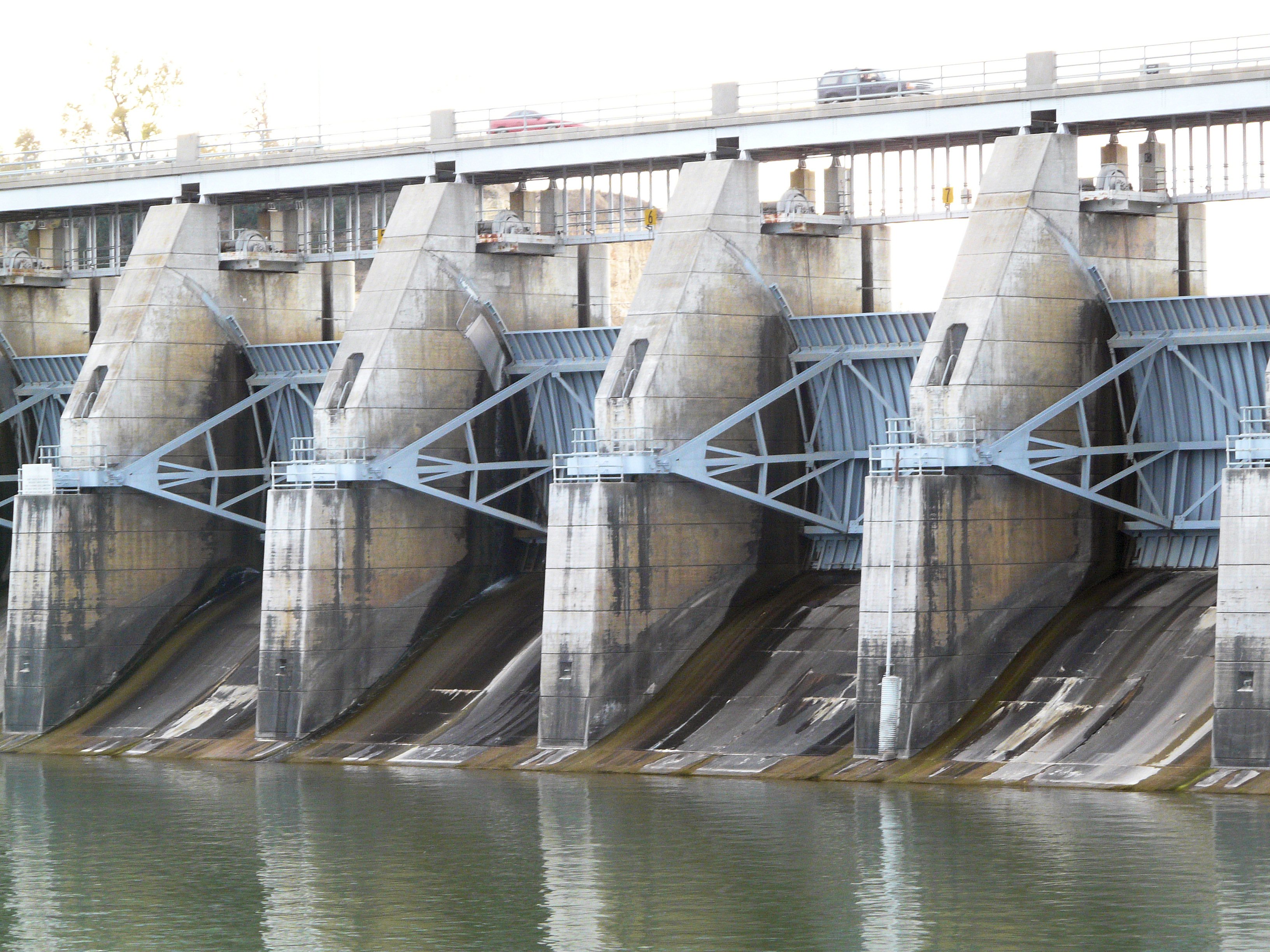
Gavins Point Dam
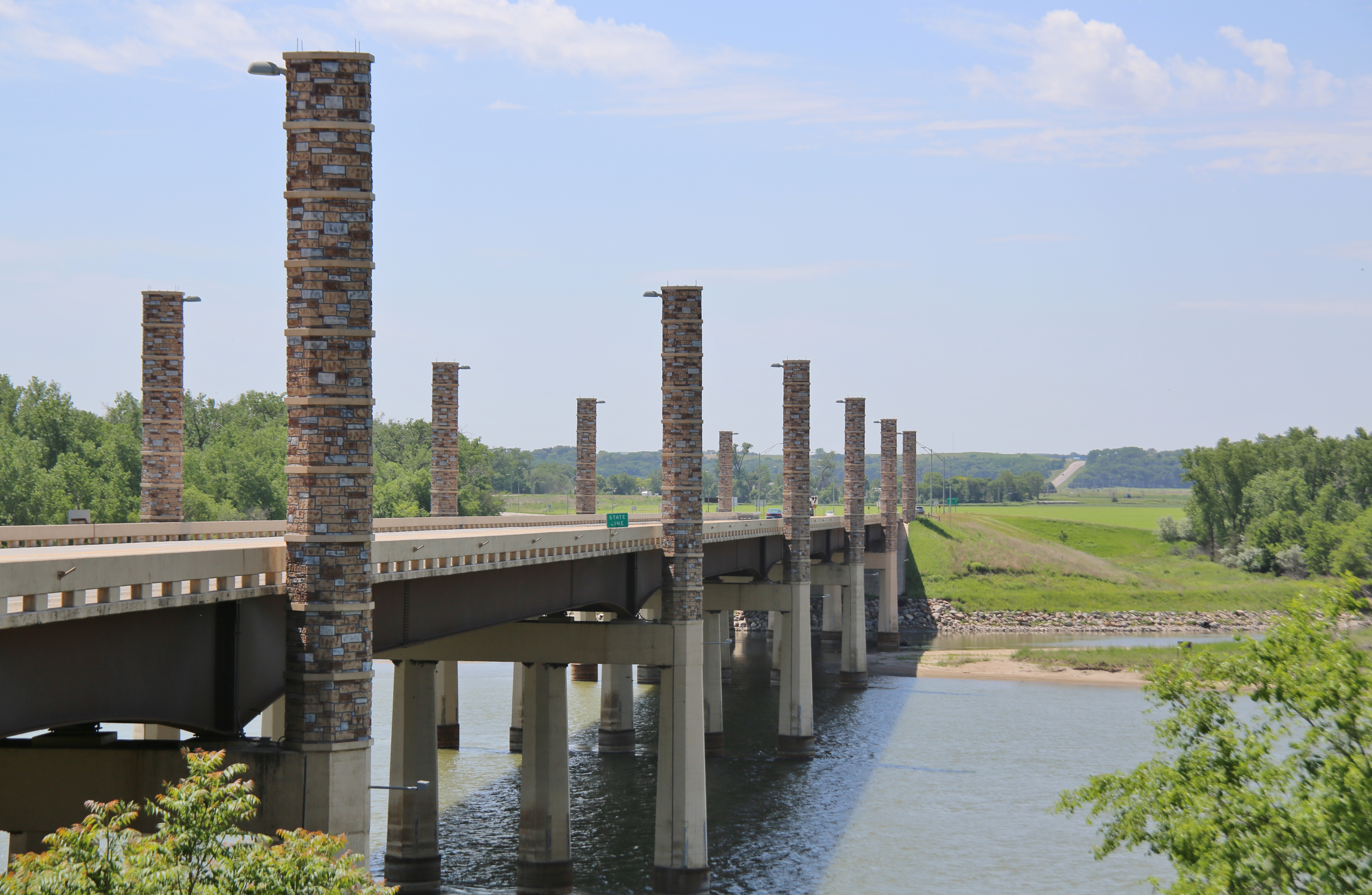
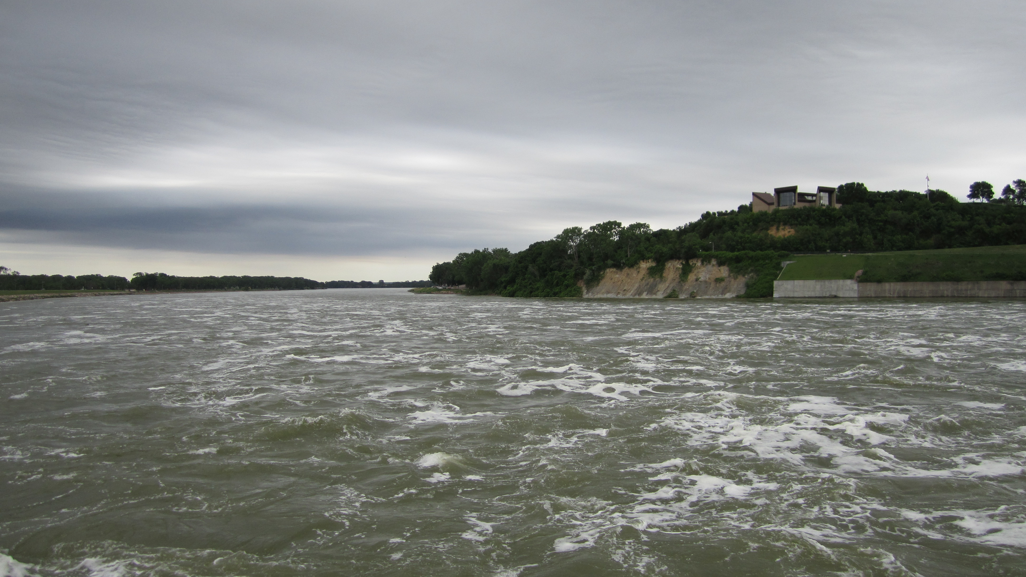
0U1A8981 Yankton SD - Discovery Bridge - Missouri River, view of Nebraska side
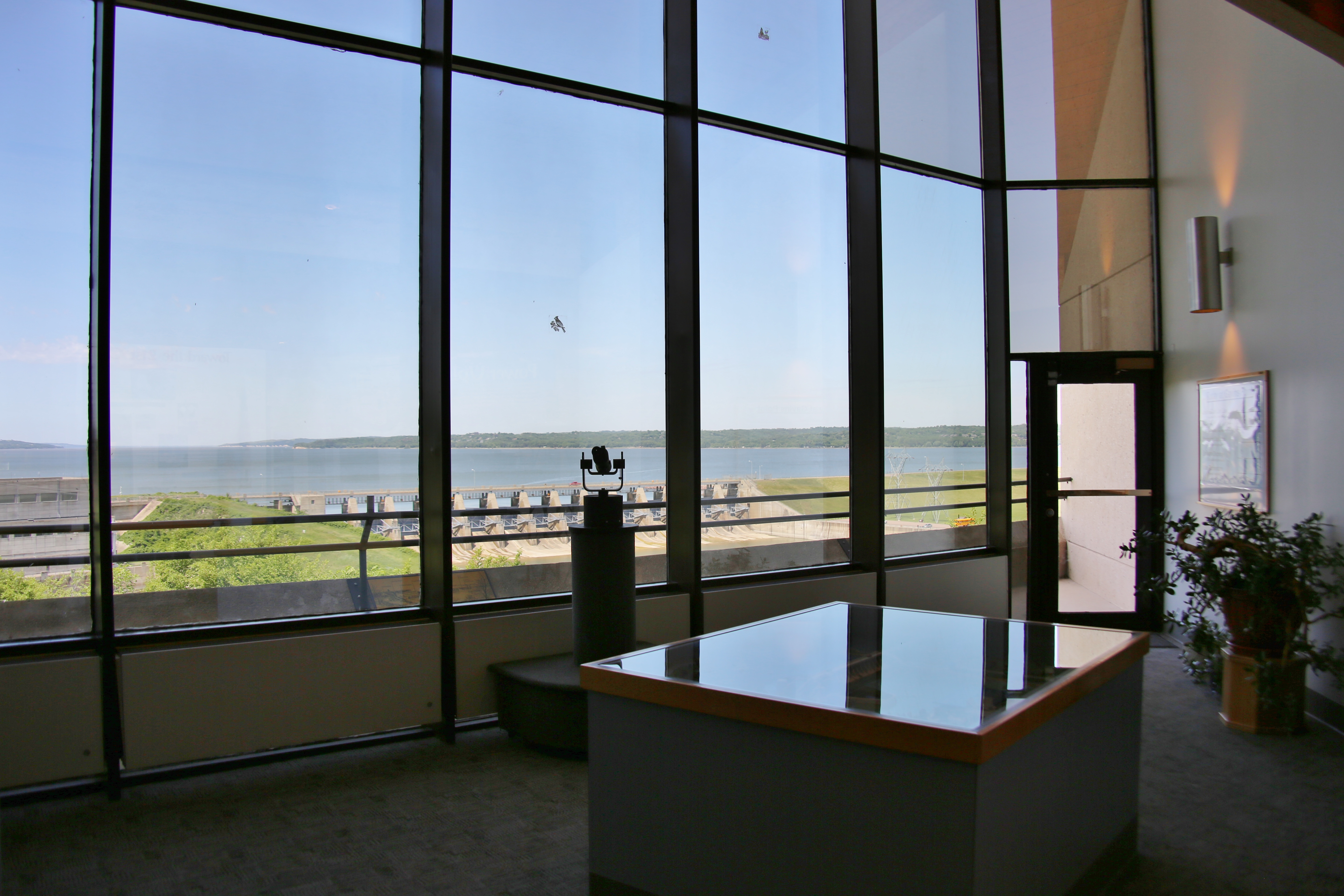
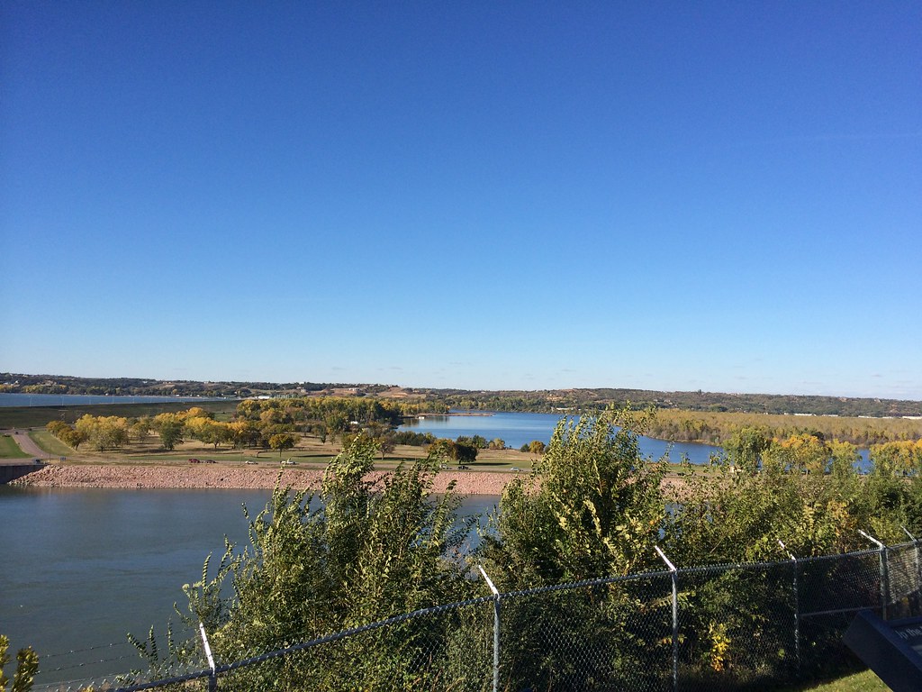
0U1A9031 Lewis and Clark Visitor Center - view of Gavins Point Dam
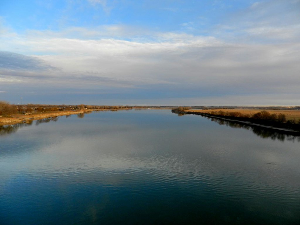
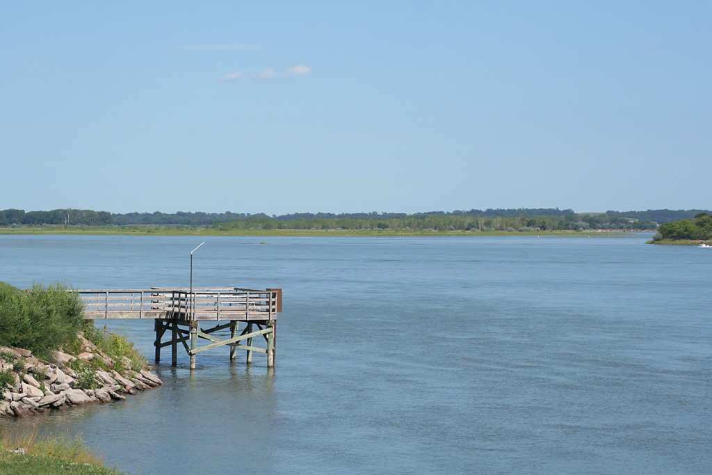
Missouri River, Yankton on the border between Nebraska and South Dakota
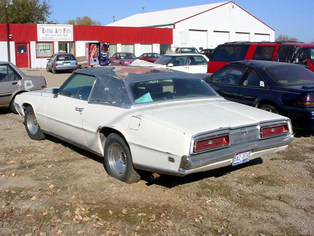
1969 Ford T-Bird - Left Rear View
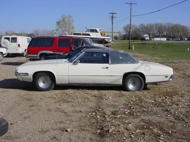
69 T-Bird - Left Side View
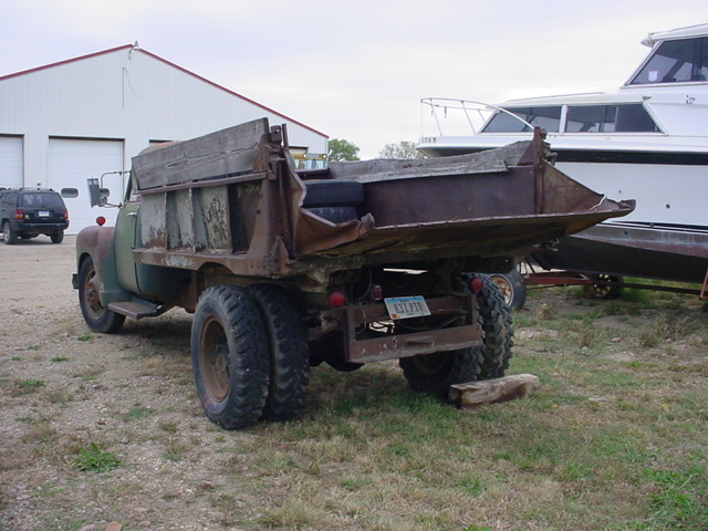
1950 Chevrolet 4100 Series 5 Ton Dump Truck - Rear Left View
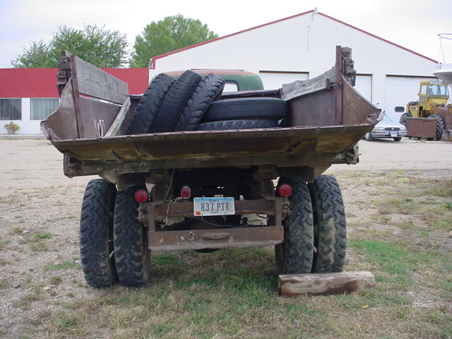
1950 Chevrolet 4100 Series 5 Ton Dump Truck - Rear End View
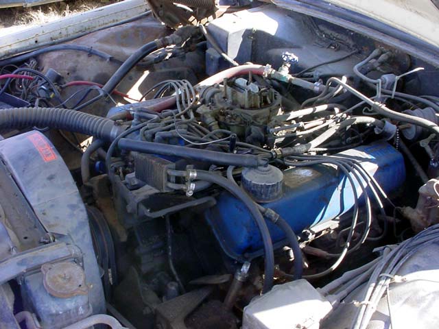
429 Thunder Jet V-8 - Driver Side View
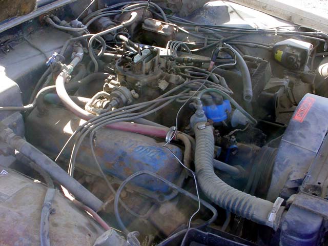
429 Thunder Jet V-8 - Passenger Side View
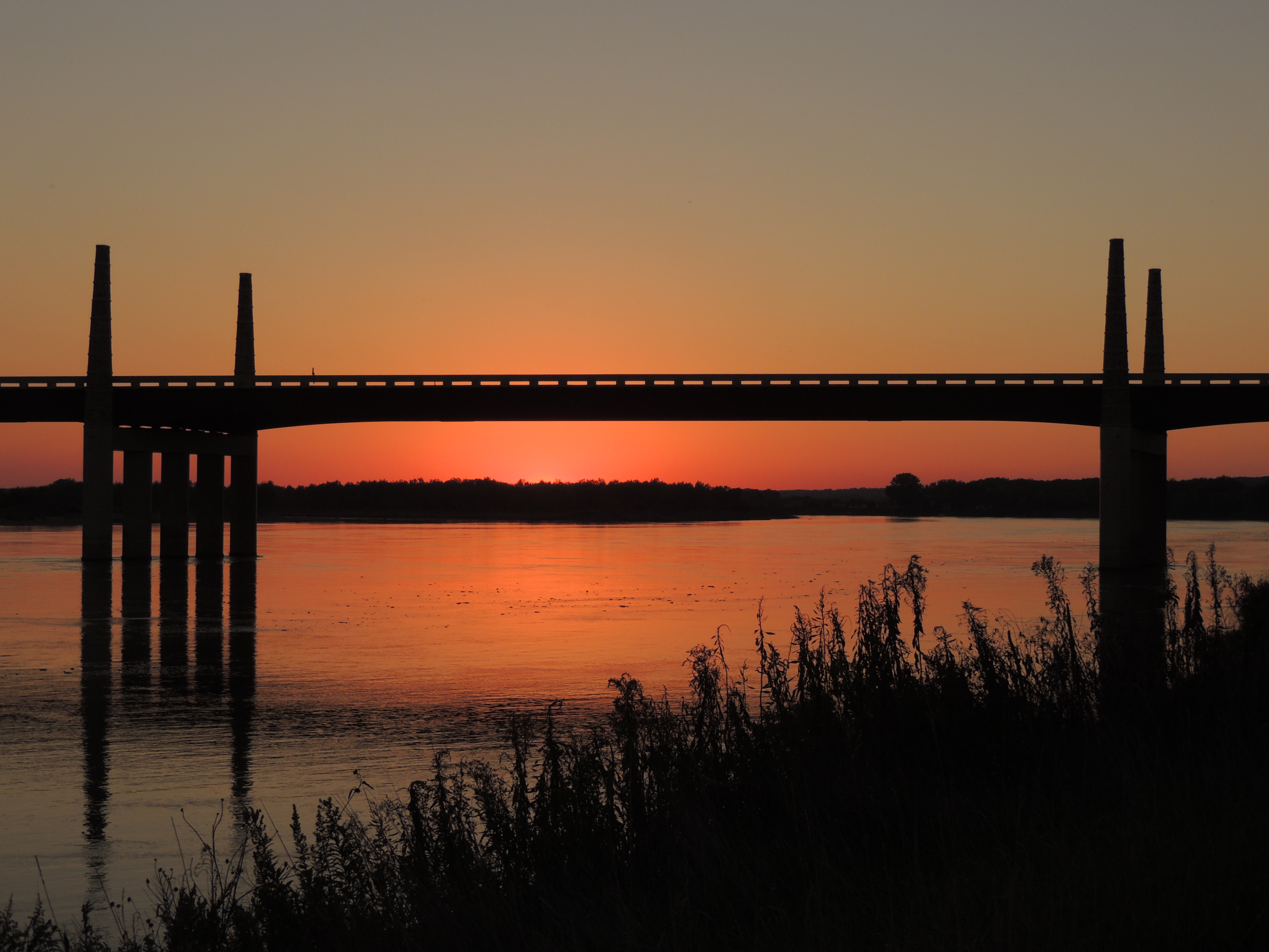
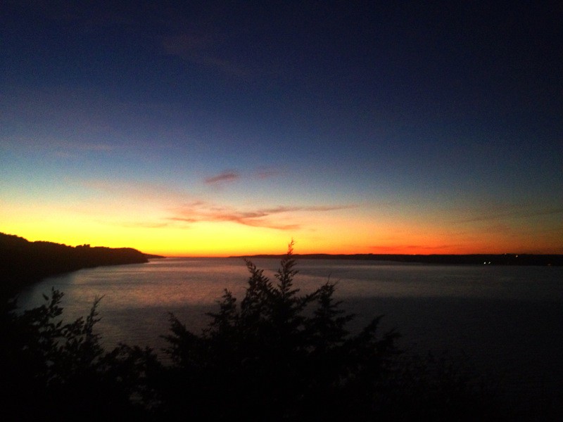
Discovery Bridge Sunset
2013-10-24 16.18.00
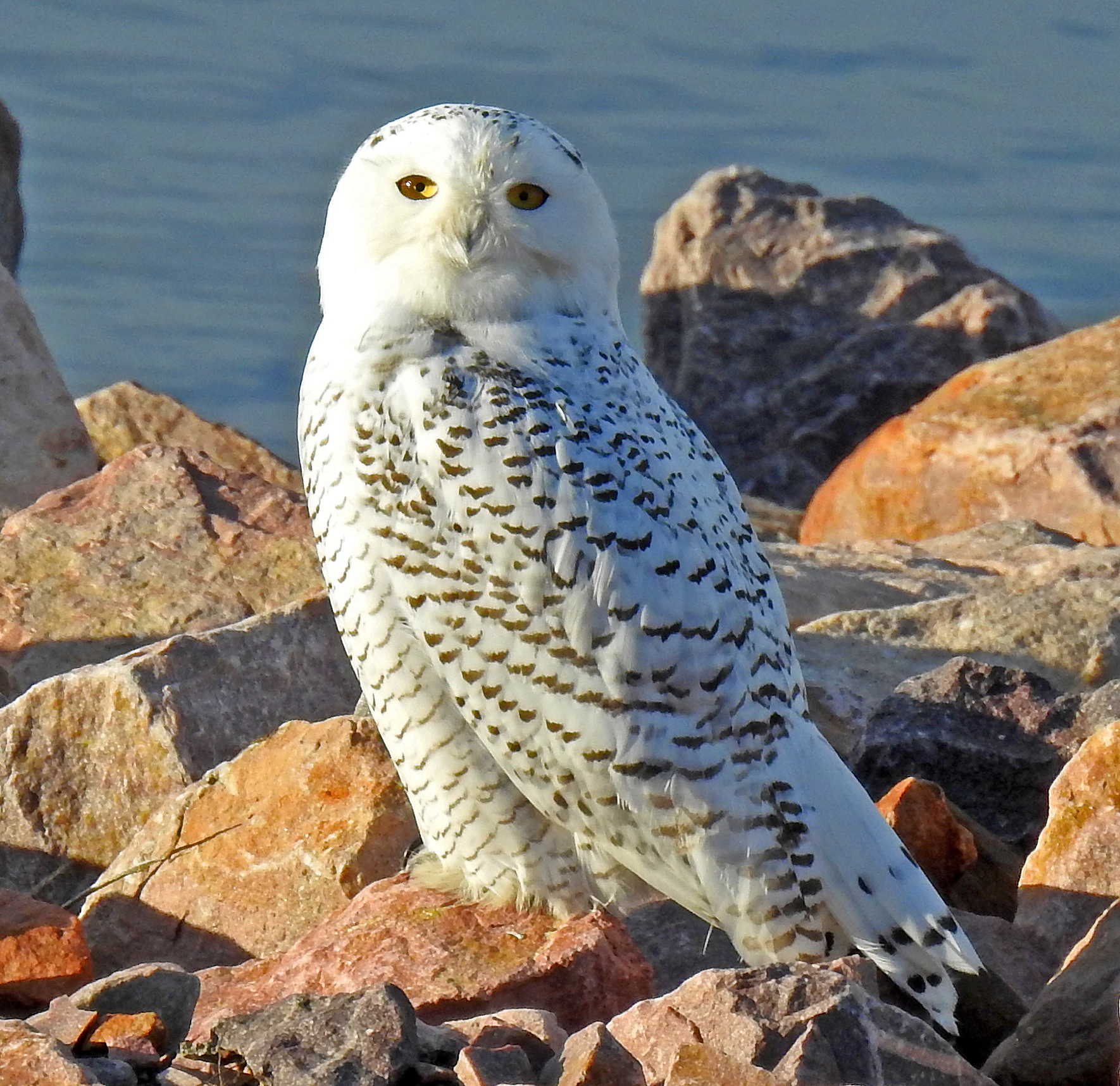
OwlSnowy--GavinsPtDam(112317)(09)
IMG_2393.JPG
IMG_2396.JPG
Might Mo
IMG_2412.JPG

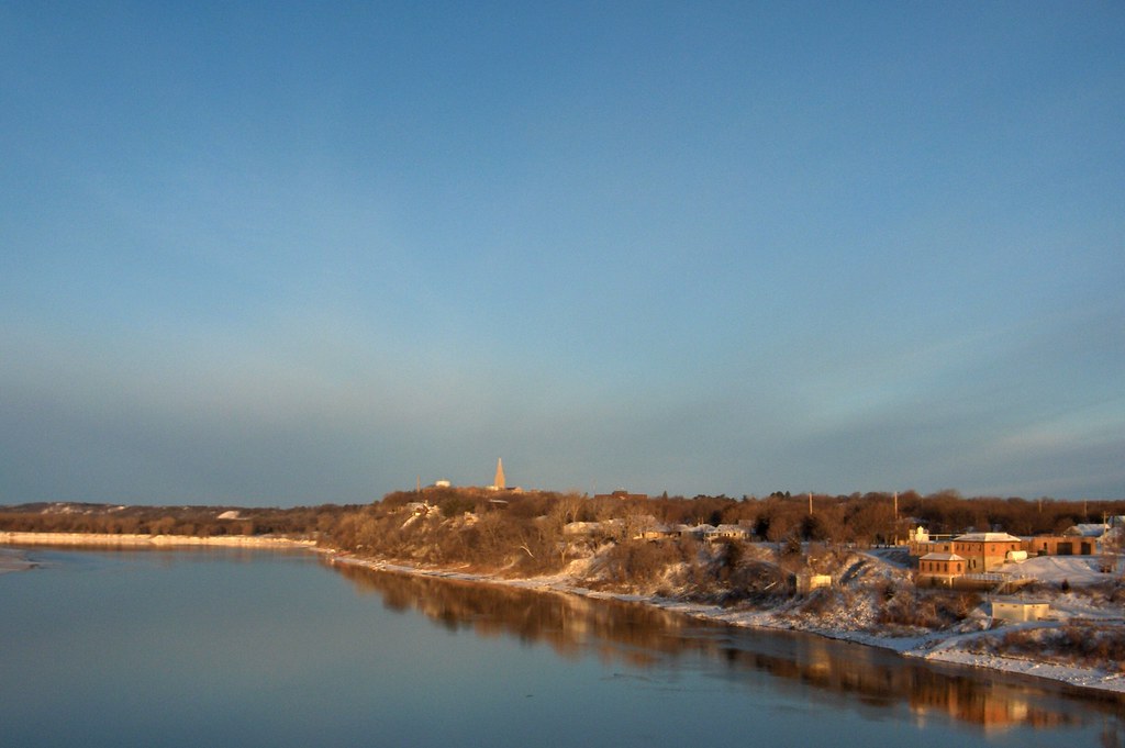
Riverside Park and Territorial Capitol
Looking down the Missouri River from Gavins Point Dam
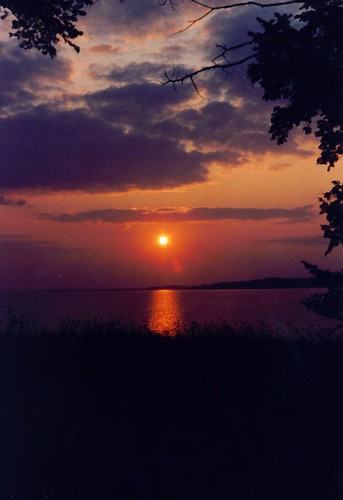
Sunset in Nebraska
2013-10-24 16.17.55

Meridian Bridge
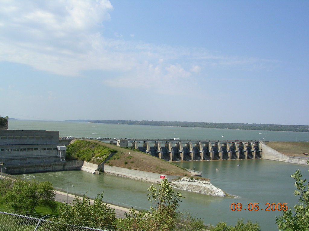
Gavins Point Dam Image 2 9-5-2005 Photo
IMG_2421.JPG
day8-6
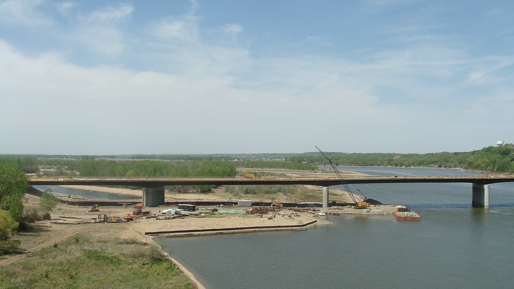
Working on the bridge at Yankton, SD
Gavins Point National Fish Hatchery
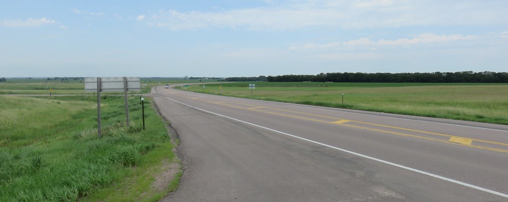
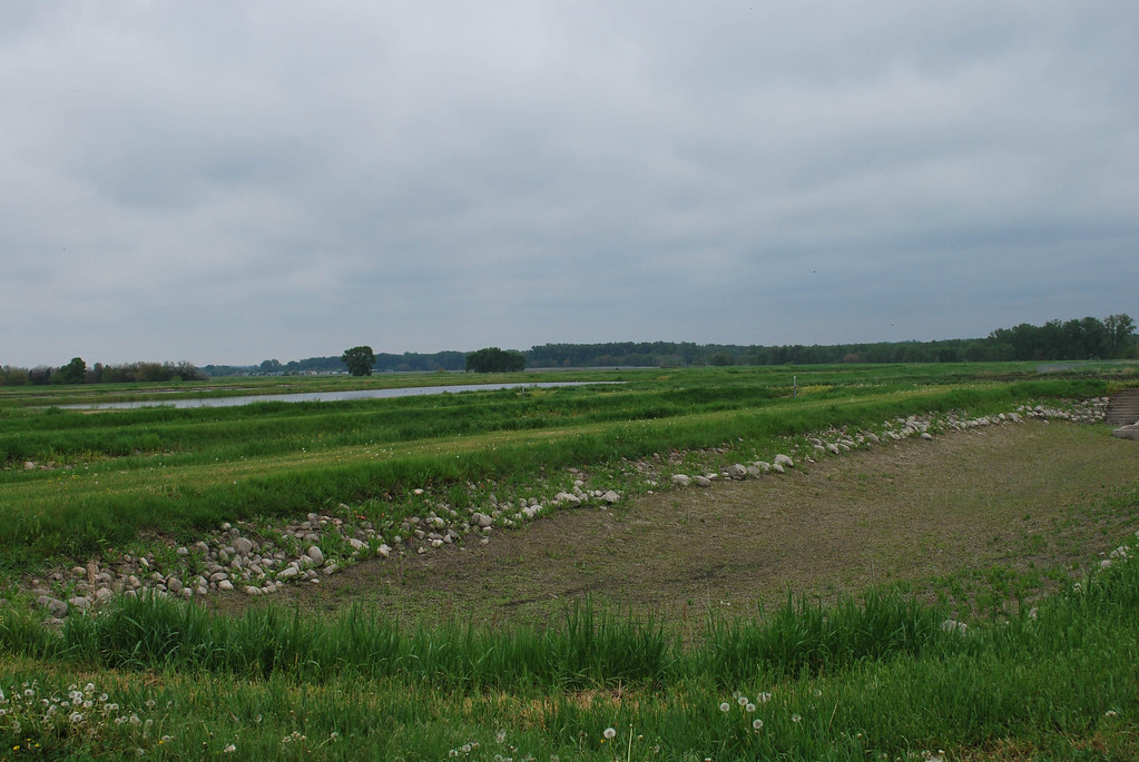
Southeastern South Dakota Landscape (Bon Homme County, South Dakota)

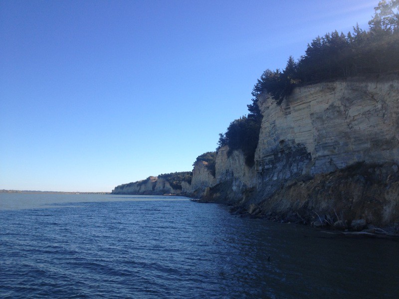
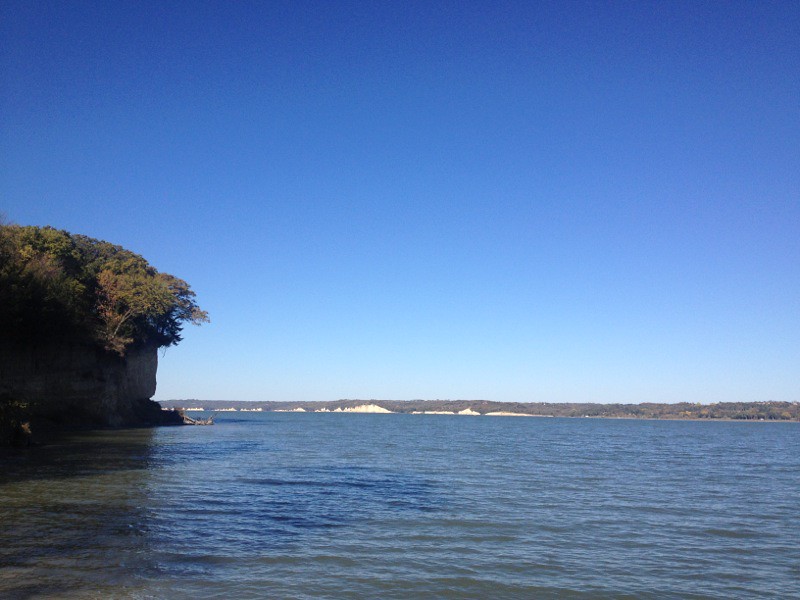
Missouri River (Yankton, South Dakota)

Missouri River (Yankton, South Dakota)
Topographic Map of Lake Yankton, West Yankton, SD, USA
Find elevation by address:

Places near Lake Yankton, West Yankton, SD, USA:
104 Judy Ave
104 Judy Ave
104 Judy Ave
Summit Street
907 Maple St
Yankton
W 4th St, Yankton, SD, USA
280 Deerfield Dr
Santa Rosa Circle
3813 Peninah St
3813 Peninah St
West Yankton
Mission Hill Township
Yankton County
Mission Hill
44732 Sd-50
Lesterville
Gayville Township
43165 296th St
Bow Valley
Recent Searches:
- Elevation of Calais Dr, Del Mar, CA, USA
- Elevation of Placer Mine Ln, West Jordan, UT, USA
- Elevation of E 63rd St, New York, NY, USA
- Elevation of Elk City, OK, USA
- Elevation of Erika Dr, Windsor, CA, USA
- Elevation of Village Ln, Finleyville, PA, USA
- Elevation of 24 Oakland Rd #, Scotland, ON N0E 1R0, Canada
- Elevation of Deep Gap Farm Rd E, Mill Spring, NC, USA
- Elevation of Dog Leg Dr, Minden, NV, USA
- Elevation of Dog Leg Dr, Minden, NV, USA