Elevation of N State St, Osmond, NE, USA
Location: United States > Nebraska > Pierce County > Plum Grove > Osmond >
Longitude: -97.597329
Latitude: 42.3593773
Elevation: 505m / 1657feet
Barometric Pressure: 95KPa
Elevation Map:
Satellite Map:
Related Photos:
IMG_8444
IMG_1241

Clowns 2

Clowns 1
Nebraska Central GP-8
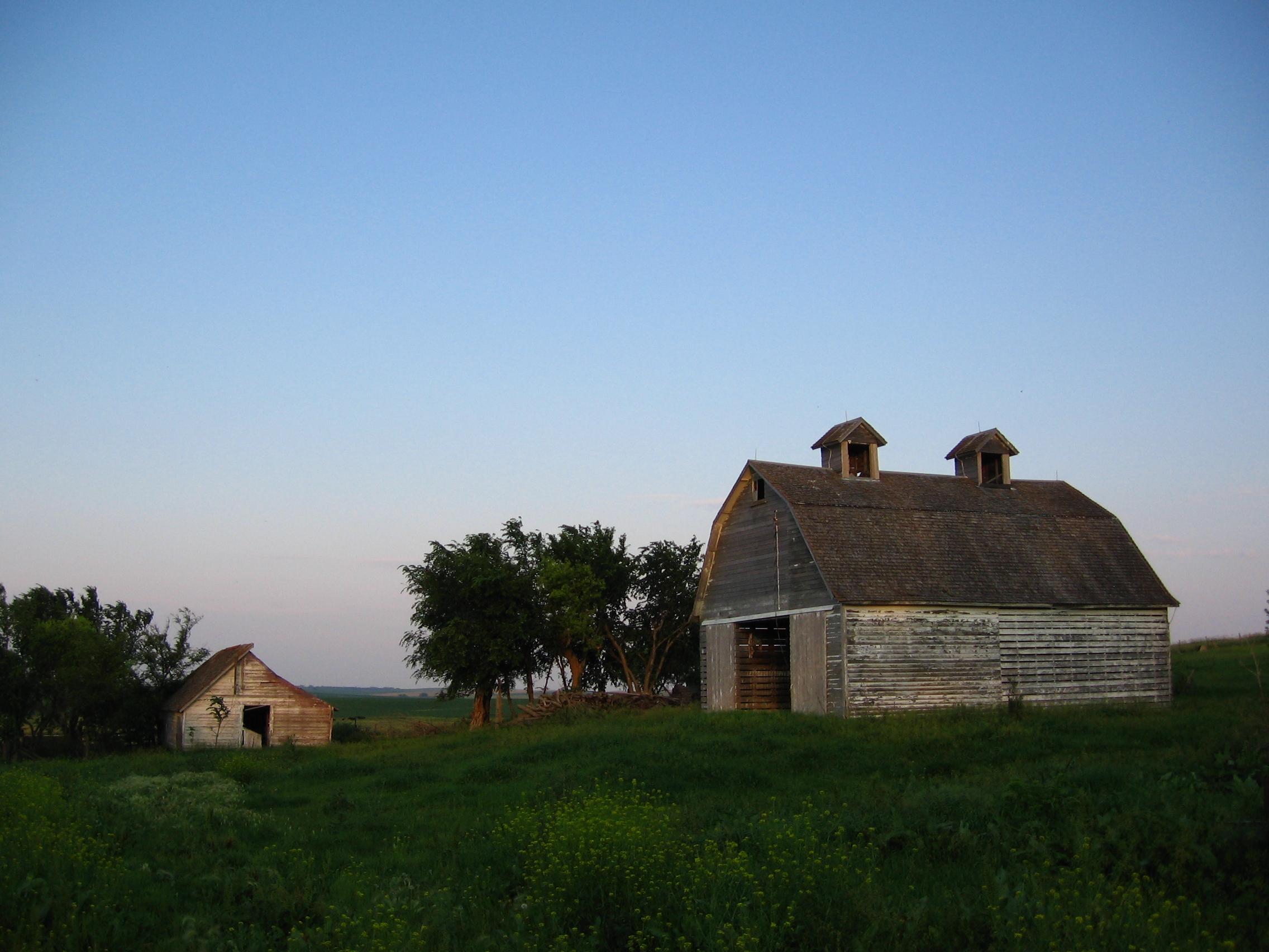
Family Farm

Hello from 40k feet over Nebraska!
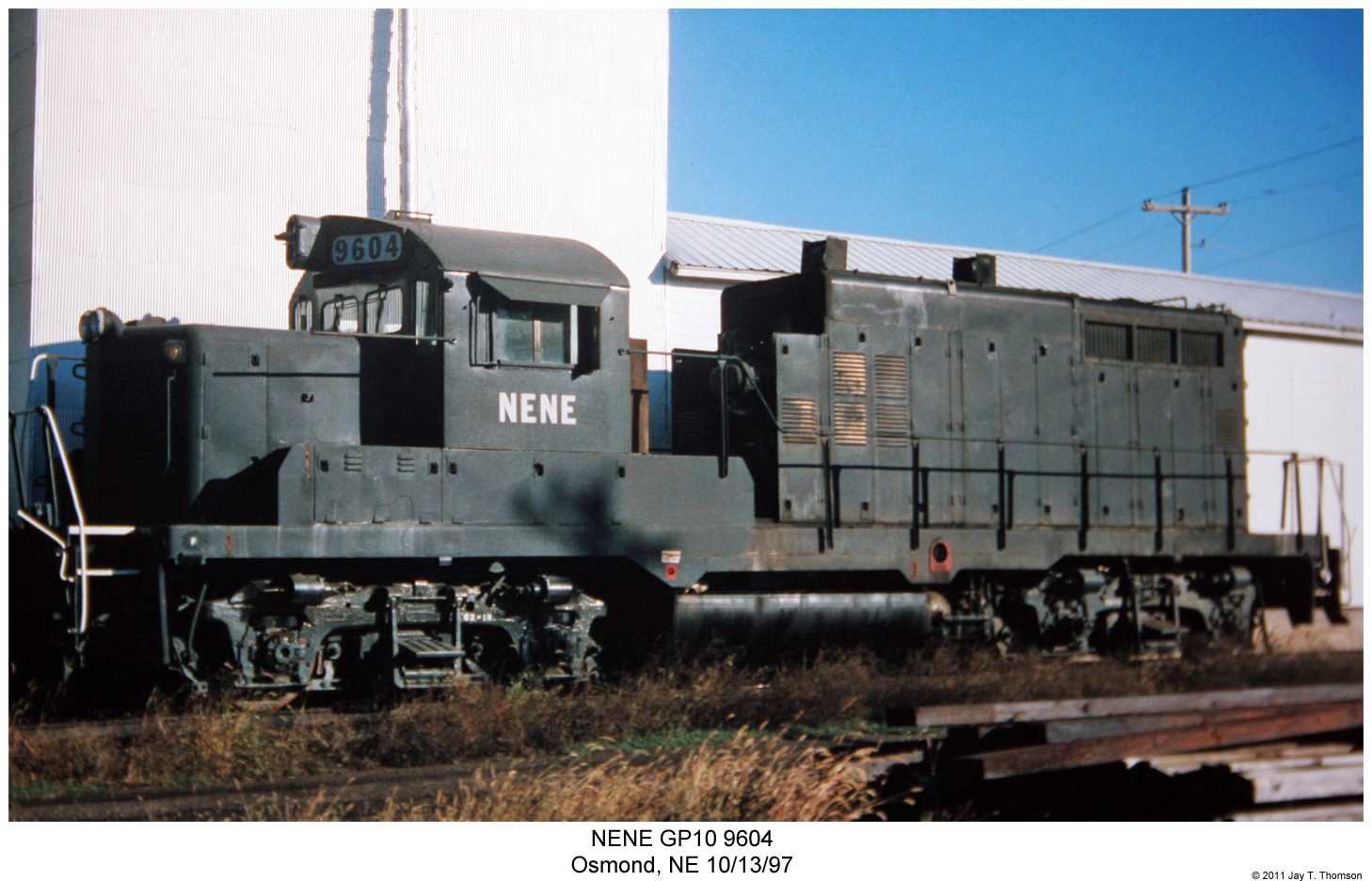
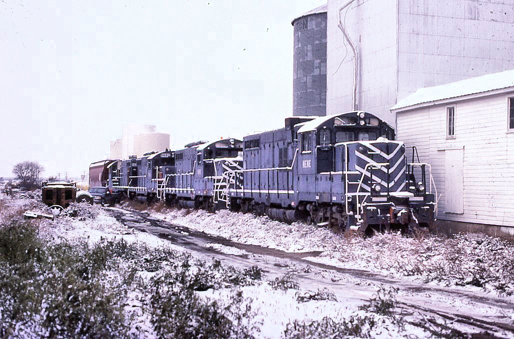
NENE GP10 9604
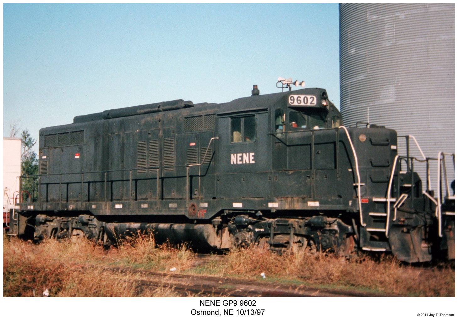
NENE GP9 9602
Topographic Map of N State St, Osmond, NE, USA
Find elevation by address:

Places near N State St, Osmond, NE, USA:
Osmond
Plum Grove
Pierce County
Pierce Public Library
Pierce
Randolph
Creighton
Main St, Creighton, NE, USA
Belden
Deer Creek
52560 856th Rd
Knox County
Carroll
Coleridge
Wayne County
Cedar County
Verdigre
Antelope County
Verdigre
Bow Valley
Recent Searches:
- Elevation of Kambingan Sa Pansol Atbp., Purok 7 Pansol, Candaba, Pampanga, Philippines
- Elevation of Pinewood Dr, New Bern, NC, USA
- Elevation of Mountain View, CA, USA
- Elevation of Foligno, Province of Perugia, Italy
- Elevation of Blauwestad, Netherlands
- Elevation of Bella Terra Blvd, Estero, FL, USA
- Elevation of Estates Loop, Priest River, ID, USA
- Elevation of Woodland Oak Pl, Thousand Oaks, CA, USA
- Elevation of Brownsdale Rd, Renfrew, PA, USA
- Elevation of Corcoran Ln, Suffolk, VA, USA