Elevation of Deer Creek, NE, USA
Location: United States > Nebraska > Wayne County >
Longitude: -97.200580
Latitude: 42.3054375
Elevation: 509m / 1670feet
Barometric Pressure: 95KPa
Elevation Map:
Satellite Map:
Related Photos:

Nebraska 064

Nebraska 081

Nebraska 065

Nebraska 079

Nebraska 082

Nebraska 078

Nebraska 061

Nebraska 074

Nebraska 080

Nebraska 058

Nebraska 057

Nebraska 077

Nebraska 050

Nebraska 075

Nebraska 046

Nebraska 089

Nebraska 060

Nebraska 068

Nebraska 085
Nebraska 048

Nebraska 086

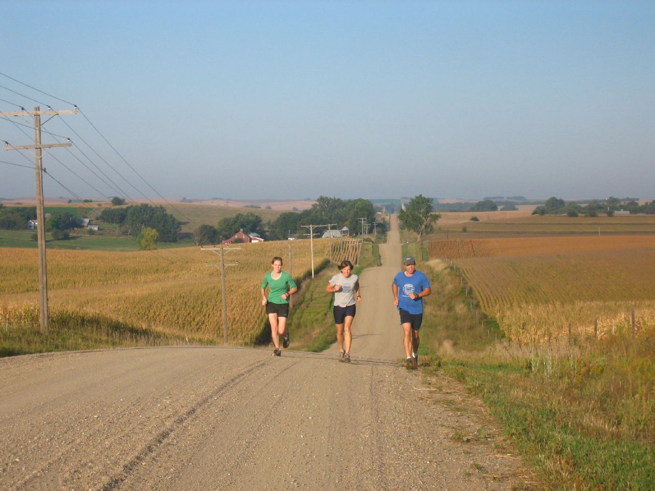
Cornfields of Nebraska

Cornfields near Winside, Nebraska

Nebraska 063

Nebraska 069
Topographic Map of Deer Creek, NE, USA
Find elevation by address:

Places in Deer Creek, NE, USA:
Places near Deer Creek, NE, USA:
Carroll
Wayne County
Belden
Laurel
Randolph
U.s. 20
Coleridge
Laurel, NE, USA
Cedar County
Pierce County
Pierce
Pierce Public Library
Plum Grove
Osmond
N State St, Osmond, NE, USA
Bow Valley
88910 573 Ave
Wynot
44732 Sd-50
Merchant St, Gayville, SD, USA
Recent Searches:
- Elevation of E 63rd St, New York, NY, USA
- Elevation of Elk City, OK, USA
- Elevation of Erika Dr, Windsor, CA, USA
- Elevation of Village Ln, Finleyville, PA, USA
- Elevation of 24 Oakland Rd #, Scotland, ON N0E 1R0, Canada
- Elevation of Deep Gap Farm Rd E, Mill Spring, NC, USA
- Elevation of Dog Leg Dr, Minden, NV, USA
- Elevation of Dog Leg Dr, Minden, NV, USA
- Elevation of Kambingan Sa Pansol Atbp., Purok 7 Pansol, Candaba, Pampanga, Philippines
- Elevation of Pinewood Dr, New Bern, NC, USA